
Why Houverather Bach und Nebenbäche Nature Reserve stands out
The reserve is especially known for protecting a chain of small Eifel stream valleys and their associated wet meadows around the Houverather Bach and its tributaries east of Bad Münstereifel. Within these largely straightened but ecologically valuable brook corridors, the protected area safeguards three officially recognised biotopes: the stream system of the Hasenbach and Eichener Siefen at the northern edge of the Ahr Eifel, the wet grassland along the Winkelbach northeast of Scheuren, and the stream system of the Houverather Bach north of Kirchsahr. The reserve's identity also rests on its mix of surviving and recovering vegetation around these streams, including stands of meadowsweet along the banks, reed belts around fish ponds, woodland with beech and older spruce along the Geissenbach tributary, and newly established spruce in the main Houverather valley. Together these give the protected area a character typical of small, intensively managed but ecologically rich lowland brook landscapes of the Eifel foothills.
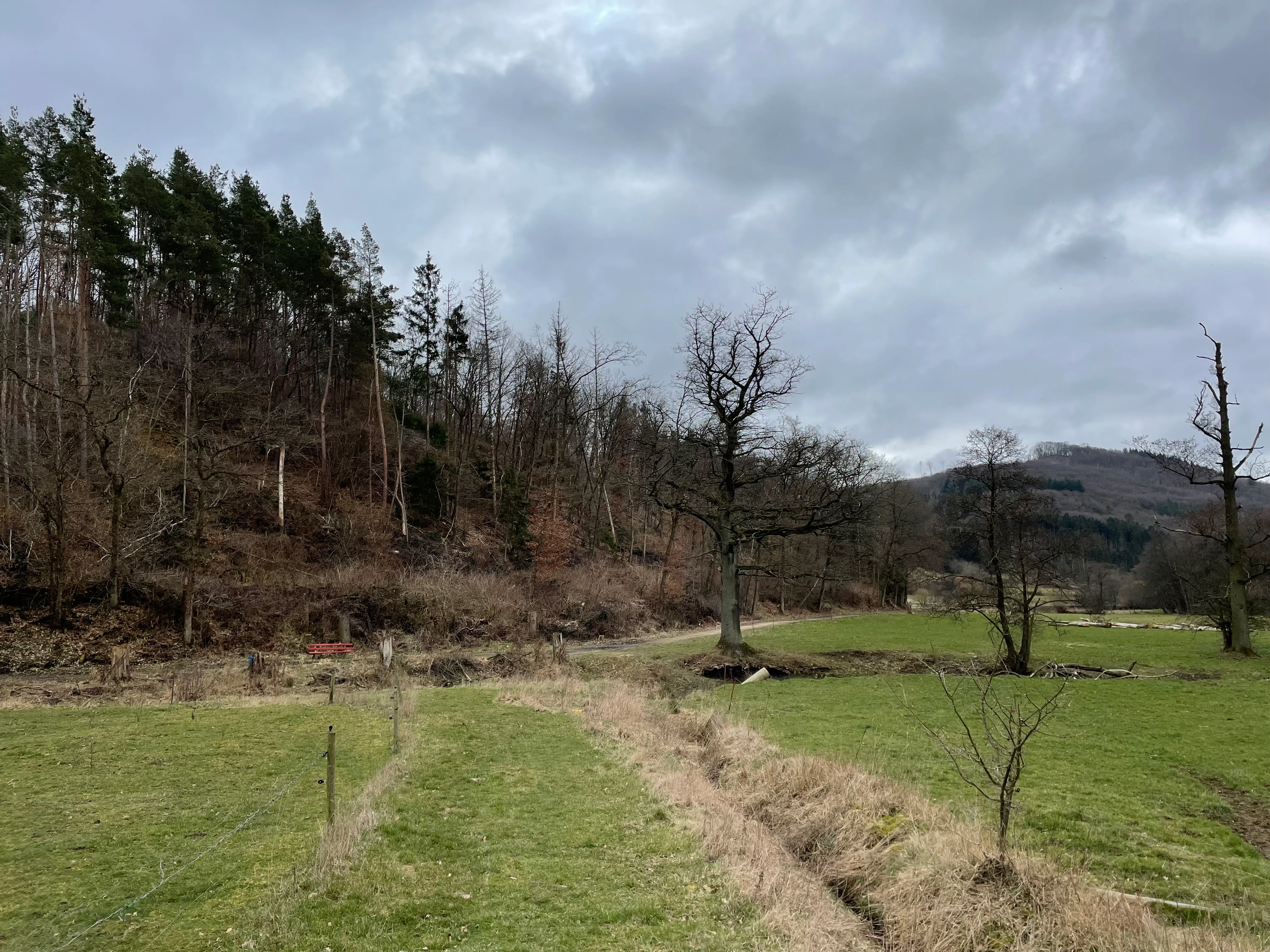
Houverather Bach und Nebenbäche Nature Reserve history and protected-area timeline
The protected area came into formal existence in 2007, when the regional authorities placed approximately 69.2 hectares of stream-side and wet-meadow landscape around the Houverather Bach and its tributaries under nature protection law. The designation was registered under the official identifier EU-159, reflecting its position within the protected-area inventory of the Kreis Euskirchen.
Before protection, the area had long been part of the working agricultural landscape east of Bad Münstereifel, with the brooks themselves largely straightened over time and their banks grazed or mown as part of routine land use. The 2007 designation sought to recognise and stabilise the ecological value that had nevertheless accumulated in these modified but still biologically active stream corridors, particularly for meadow-breeding birds, butterflies, and characteristic wet-meadow plant communities.
Following protection, the reserve has continued to evolve as a mix of maintained agricultural land, recovering riparian vegetation, and small woodland elements. The presence of new spruce plantings in the Houverather valley is consistent with a broader 2000s-era reforestation context in the Eifel that has shaped many stream-side landscapes in this part of North Rhine-Westphalia.
Houverather Bach und Nebenbäche Nature Reserve landscape and geographic character
The landscape of Houverather Bach und Nebenbäche is shaped by shallow, gently sloping lowland stream valleys typical of the northwestern flank of the Ahr Eifel. Rather than dramatic landforms, the reserve is characterised by a sequence of small river-bottom features: straightened brook channels, narrow floodplain fringes, adjoining wet meadows, and modest slopes that carry agricultural land down to the waters.
East of the old town centre of Bad Münstereifel, between the villages of Scheuren to the north and Lanzerath to the south, the protected landscape extends for several kilometres along the course of the Houverather Bach. South and east, the protection boundary meets the state border with Rhineland-Palatinate, marking a subtle political as well as ecological transition.
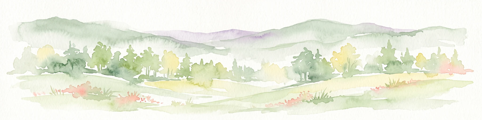
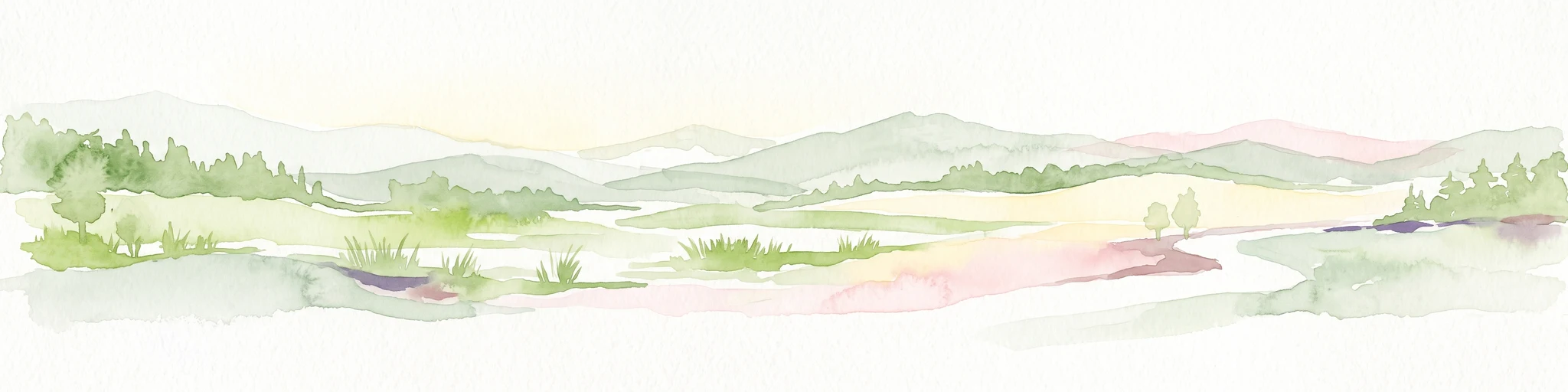
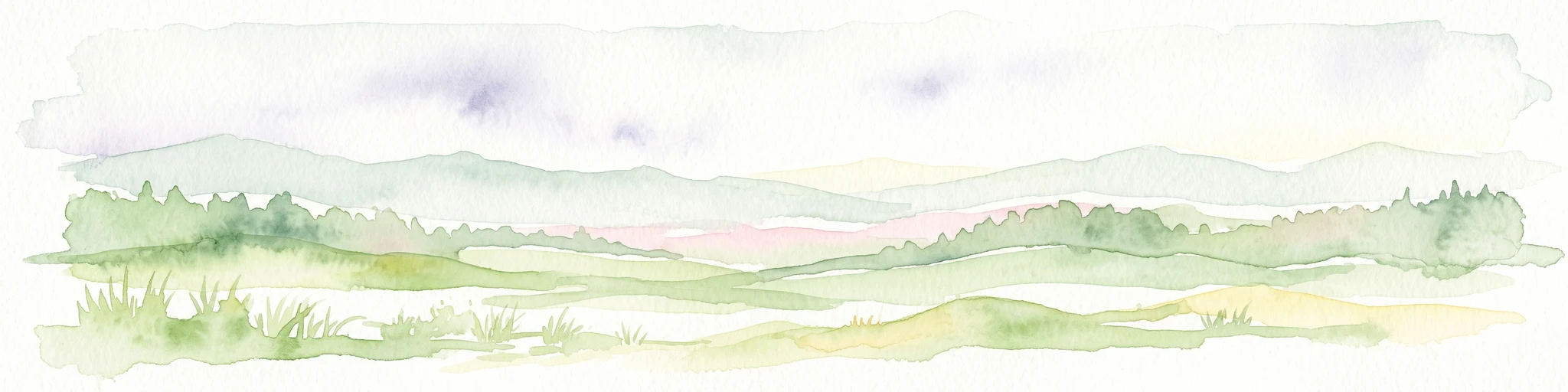
The valley floors are the visual and ecological heart of the reserve. Flat, frequently damp meadows border the brooks, interspersed with the geometric outlines of fish ponds and their reed belts. Above the immediate floodplain, the land rises gently into farmland, while along the Geissenbach tributary, the slopes support the reserve's most coherent woodland stretches, where beech and older spruce give way to younger conifer plantations in the broader valley.
Houverather Bach und Nebenbäche Nature Reserve ecosystems, habitats, and plant life
Ecologically, the reserve is a mosaic habitat complex centred on small lowland streams and their adjoining wet meadows. The protected area harbours three formally recognised schutzwürdige Biotope: the Hasenbach and Eichener Siefen stream system on the northern edge of the Ahr Eifel, the wet grassland along the Winkelbach northeast of Scheuren, and the Houverather Bach stream complex north of Kirchsahr. Together these constitute the ecological backbone of the designation.
Vegetation along the brooks is varied despite the straightened channel forms. Meadowsweet, or Mädesüß, is a characteristic plant of the wet banks and adjoining meadows and plays a particular role in supporting butterflies and meadow-breeding birds. Where the Geissenbach tributary broadens, beech woodland and older spruce stands provide a more shady, structurally complex river-side habitat, while younger spruce plantations cover parts of the main Houverather valley around Kirchsahr.
The fish-pond complex within the Hasenbach floodplain introduces a distinctive still-water element dominated by a reed belt, accompanied by a notable occurrence of giant hogweed along the water's edge. This combination of flowing lowland streams, wet meadows, still-water pond margins with reeds, and small stream-side woodlands makes the reserve a compact but characteristic example of Eifel foothill brook biodiversity.
Houverather Bach und Nebenbäche Nature Reserve wildlife and species highlights
Wildlife value in Houverather Bach und Nebenbäche is closely tied to its wet meadows and stream-side habitats. The reserve's wet grassland complexes around the Hasenbach, Winkelbach, and Houverather Bach systems are documented as significant habitats for Wiesenbrüter (meadow-breeding birds), which depend on the kind of moist, structurally open meadowland maintained here.
The meadow and bank vegetation, particularly where meadowsweet thrives, also supports characteristic butterfly communities, with the meadowsweet stands functioning as both a nectar source for adults and a larval host plant. In the fish-pond area of the Hasenbach floodplain, the reed belt provides habitat for reed-associated fauna, while the giant hogweed stands attract a distinctive insect fauna of their own.
The stream-side woodlands along the Geissenbach and the older spruce and beech stands elsewhere in the reserve offer complementary cover for woodland species, allowing the reserve to function as a small, multi-habitat refuge for the birds, insects, and small mammals typical of the northern edge of the Ahr Eifel.
Houverather Bach und Nebenbäche Nature Reserve conservation status and protection priorities
The conservation significance of Houverather Bach und Nebenbäche lies in its role as a state-level anchor for protecting a chain of small brook valleys on the transition between North Rhine-Westphalia and Rhineland-Palatinate. Although its 69-hectare extent is modest, the reserve ensures that a representative cross-section of the stream-side and wet-meadow habitats of this part of the Ahr Eifel remains formally protected against further degradation.
The designation brings together eight separate component areas into a coherent ecological unit defined by hydrology and habitat, rather than by ownership. By doing so, it safeguards both the straightened but ecologically functioning brooks and the adjoining wet meadows that smaller, single-plot protections would struggle to maintain. The formal identification of three schutzwürdige Biotope within the reserve underscores its role as a recognised site for the conservation of brook, meadow, and floodplain habitats in Kreis Euskirchen.
The reserve also contributes to the broader conservation network of the Eifel region, complementing neighbouring protected areas around Bad Münstereifel such as the Bad Münstereifeler Wald, Bülgesbach mit Hangwäldern, and similar stream-valley designations in the district.
Houverather Bach und Nebenbäche Nature Reserve cultural meaning and human context
Culturally, the reserve sits within the traditional municipal landscape of Bad Münstereifel, one of the historic small towns of the northern Eifel. The component areas of the protection zone connect to local villages of the town: Scheuren in the north and Lanzerath in the south, both Stadtteile (municipal parts) of Bad Münstereifel, while the southernmost stretches meet the state boundary with Rhineland-Palatinate.
For centuries, the brooks and meadows here have been part of the everyday working landscape of the Eifel foothills, used for hay production, grazing, fish culture in small pond complexes, and the gradual conversion of slopes to forest. The straightened channel forms of the Hasenbach, Winkelbach, and Houverather Bach themselves reflect this long agricultural history: they are human-shaped features that the protection framework now seeks to retain alongside the ecological functions they continue to support. The reserve is, in effect, a formally recognised layer within a much older cultural landscape of small-scale farming and forestry.
Top sights and standout views in Houverather Bach und Nebenbäche Nature Reserve
Houverather Bach und Nebenbäche stands out for the way it knits together eight separate parcels into a single ecosystem defined by the Houverather Bach and its tributaries. Within this modest footprint, it preserves three formally recognised biotope complexes and a working mosaic of wet meadows, reed-bordered fish ponds, stream-side beech, and spruce woodland that is typical, and locally important, for the northern edge of the Ahr Eifel.
The reserve's designation in 2007 under the key EU-159 gave legal security to a landscape that combines centuries of agricultural shaping with ecologically valuable meadowsweet-rich banks, meadow-breeding bird habitat, and a small but rich network of tributary brooks near the North Rhine-Westphalia and Rhineland-Palatinate border.
Best time to visit Houverather Bach und Nebenbäche Nature Reserve
The reserve is a quiet, working agricultural and brook-side landscape rather than a developed visitor site, and so any visit is best framed around the seasons of the Eifel. Late spring and early summer bring the most active display of meadow moisture plants along the brooks, lively insect life around the meadowsweet and reed fringes, and the brightest flowering of the wet meadows adjoining the Hasenbach, Winkelbach, and Houverather Bach systems, which is also the most active period for meadow-breeding birds and butterflies.
In summer, the wet meadows and reed belts remain lush and provide the richest visible wildlife experience, while autumn brings quieter conditions, softer light over the valley floors, and lower water levels that emphasise the structural contrast between the straightened brook channels, the fish-pond complex, and the stream-side woodlands along the Geissenbach. Winter visits are subdued but can be rewarding for observing the openness of the brook corridors and the spatial relationship between the scattered component areas of the reserve.