Mori Atlas logo
Park earthquake history

A historical dataset of epicentre coordinates, event magnitudes, and depths near the Front Range.

Recorded Earthquake History and Seismic Records for the Indian Peaks Wilderness in Colorado

Review an objective collection of historical earthquake records associated by proximity with the Indian Peaks Wilderness. This catalogue provides a searchable overview of documented seismic events, including event dates, magnitudes, and precise distances from the park boundaries. The data offers researchers and observers a structured way to track historical seismic activity within this alpine region of the Colorado Front Range.

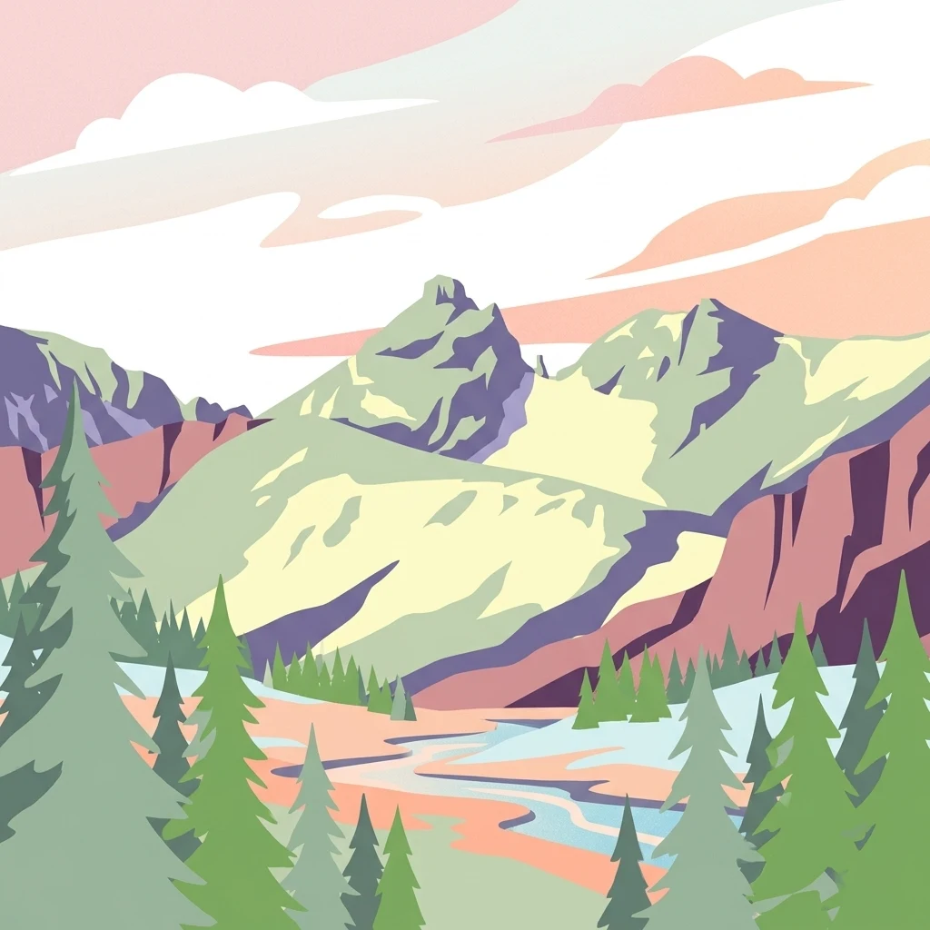
A graphic illustration of a mountain landscape with evergreen trees in the foreground, a stream winding through a valley, and rocky peaks in the background under a pastel sky.

A Front Range alpine wilderness straddling the Continental Divide just south of Rocky Mountain National Park.

Indian Peaks Wilderness

Indian Peaks Wilderness is a protected alpine landscape in north central Colorado, situated along the high spine of the Front Range and straddling the Continental Divide. Designated by Congress in 1978, the wilderness spans roughly seventy-six thousand acres within the Arapaho and Roosevelt National Forests, with small portions extending into the southern edge of Rocky Mountain National Park. The area is defined by a tight cluster of thirteen-thousand-foot summits, more than fifty alpine lakes, and relict glaciers, all packed into a relatively compact and accessible corridor. Its proximity to Boulder and the Denver metropolitan area makes it one of the most heavily visited wilderness areas in the United States, yet it retains the rugged character of true high country. Indian Peaks Wilderness matters both as a recreational escape and as a significant watershed and ecological reserve. Its meadows, cirques, and forest zones anchor a complex of habitats that connect the protected ecosystems of Rocky Mountain National Park with the broader national forest landscape to the south.

Location
United States of America
Park type
Wildlife reserve
Established
1978
Area
310.4 km²
Highest point
4,115 m
Explore Indian Peaks Wilderness Geography

Review Indian Peaks Wilderness dates, depths, places, and distances

Study historical earthquake records around Indian Peaks Wilderness

Indian Peaks Wilderness records are positioned against the Front Range and Continental Divide by earthquake epicentres and distance from peaks, glaciers, alpine lakes, and forest. Dates, magnitudes, depths, locations, separation, and sources allow historical comparison without turning proximity into a boundary finding or a claim about mountain effects, current danger, causation, damage, or future events.

Sort by
Magnitude
Location

This page describes catalogued earthquakes associated with the park by epicentre location and distance. It does not establish causation, assess current danger, or predict future earthquakes.

No earthquake records match the current filters

Park atlas

Go beyond Indian Peaks Wilderness earthquake history in the atlas

Discover other protected parks after Indian Peaks Wilderness

After Indian Peaks Wilderness’s earthquake section, MoriAtlas presents other protected landscapes beyond its Front Range and Continental Divide setting. Their presence does not establish shared alpine wilderness, high peaks, geographic closeness, seismic history, geology, hazard, risk, or earthquake-page coverage; each destination remains independently described.
Protected landscapeGrand County
Park boundaries overlap#1 closest

West

Arapaho National Recreation Area: Geographic Profile and Protected Landscape Context

High-country mountain reservoirs and forested mountain terrain

The Arapaho National Recreation Area defines a unique intersection of montane forest and water-based geography in Grand County, Colorado. As the home to the Great Lakes of Colorado, this protected landscape provides a critical connection point between the Colorado River headwaters and the Continental Divide. Examine the park's terrain, reservoir distribution, and its role as a forested gateway to the neighboring mountain regions.

Area
124.2 km²
Established
1978
Relief
Mountain
Climate
Alpine
National parkColorado
Park boundaries overlap#2 closest

Northwest

Rocky Mountain National Park: National Park Protected Landscape in Colorado

Explore its mapped boundaries and regional geographic context.

Rocky Mountain National Park is a designated National Park within Colorado, crucial for understanding the distribution and geographic context of protected areas in the United States. This detail page provides an atlas-oriented perspective, emphasizing the park's mapped boundaries and its place within the natural landscape of the region. It is designed to facilitate a clear understanding of the park's protected status and its contribution to the atlas of natural landscapes, offering factual insights for geographic discovery.

Area
1,074.28 km²
Established
1915
IUCN
II
Visitors
4.2M annual
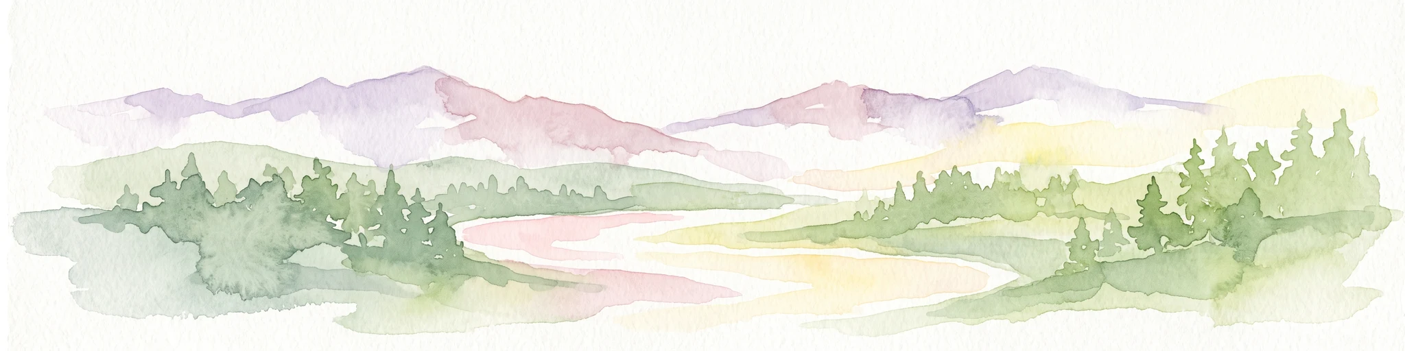
A horizontal watercolor painting showing a range of purple and reddish-toned mountains in the distance, behind rolling green fields and a pale pinkish waterway in the foreground.
Protected landscapeColorado
Park boundaries overlap#3 closest

North

Roosevelt National Forest: Mapping Wilderness and Protected Landscapes in Northern Colorado

Regional geography, river corridors, and alpine mountain terrain

Roosevelt National Forest encompasses a significant protected landscape across Larimer, Boulder, Gilpin, and Jefferson counties. The forest features a complex terrain of deep canyons, forested plateaus, and protected wilderness areas that form a scenic buffer along the eastern side of the Continental Divide and Rocky Mountain National Park.

Area
3,293.33 km²
Established
1902
Relief
Mountain
Climate
Subpolar
A watercolor painting showing a panoramic view of mountain peaks in the background behind a forest landscape, set against a white background.
Wildlife reserveColorado
About 8.6 km away#4 closest

South

James Peak Wilderness: Geographic Profile and Protected Landscape Mapping

High elevation terrain in the Colorado Rockies

James Peak Wilderness provides a critical protected landscape featuring dramatic alpine summits, U-shaped glacial valleys, and subalpine meadows. Its geographic structure forms an essential ecological link along the Colorado Front Range, characterized by high-elevation peaks, dense coniferous forests, and diverse tundra ecosystems situated immediately east of the Continental Divide.

Area
68.86 km²
Established
2002
IUCN
Ib
A horizontal watercolor painting showing a soft mountain range in the distance, a midground forest, and a foreground area suggesting marshy ground or a meadow.
Wildlife reserveColorado
17 km away#5 closest

Northwest

Never Summer Wilderness: Protected Mountain Geography and Alpine Terrain in Colorado

High-altitude wilderness along the Continental Divide

Spanning over 21,000 acres, the Never Summer Wilderness defines a critical segment of the Colorado Rockies. This protected area features a jagged skyline of 12,000-foot summits, extensive alpine tundra, and the remarkable old-growth spruce and fir forests of Bowen Gulch. Use these maps to understand its role as a vital headwater landscape and its position as a sanctuary for alpine wildlife and ecosystems.

Area
85.3 km²
Established
1980
IUCN
Ib
Relief
Mountain
A watercolor painting showing purple and white mountain peaks rising above green rolling hills and meadows in a wide panoramic format
Protected areaColorado
29 km away#6 closest

South

Mount Evans Wilderness: Alpine Landscapes and Protected Geography in Colorado

Glacial cirques and high-altitude wilderness ecosystems.

Mount Evans Wilderness offers a premier look at the Colorado Front Range, defined by its dramatic relief, sheer cliff lines, and extensive glacial history. This entry examines the wilderness as a protected zone that transitions from montane forests to tundra, providing a reference for high-elevation mountainous geography within the United States.

Area
301.09 km²
Established
1980
IUCN
Ib
Relief
Mountain
A soft watercolor illustration depicting a simplified, layered landscape of rolling hills and distant mountains in shades of light green, pale yellow, and soft pink.
Protected areaColorado
35 km away#7 closest

South

Pike National Forest: Protected Mountain Landscapes and Regional Geography in Central Colorado

Granite peaks, montane forests, and diverse alpine terrain

Spanning from the rolling foothills of the Front Range to the high alpine summits of the Rocky Mountains, Pike National Forest is a significant protected area defined by its unique Pikes Peak granite bedrock and deep river-carved canyons. This analysis provides a structured look at its expansive wilderness boundaries, drainage basins, and the vertical transitions that characterize this vital central Colorado highland.

Area
4,478.27 km²
Established
1892
Relief
Mountain
Climate
Alpine
Protected landscapeColorado
About 38 km away#8 closest

South

White River National Forest: Mapping the Protected Landscapes and High Country of Central Colorado

Regional geography, wilderness boundaries, and mountain terrain data

Spanning from the high alpine tundra of the Sawatch Range to the volcanic plateaus of the Flat Tops, White River National Forest represents a significant protected area in the American West. This detail presents the geographic footprint, forest landscape, and complex mountain terrain that define this vital Colorado territory.

Area
9,251 km²
Established
1902
Relief
Mountain
Climate
Alpine
MoriAtlas Explorer

Continue Your Geographic Exploration of Indian Peaks Wilderness

Examine the rugged terrain and protected boundaries of Indian Peaks Wilderness through the MoriAtlas mapping system. This high-country wildlife reserve offers significant insight into the glacial geomorphology and alpine ecosystems of the Colorado Front Range. Delve deeper into the Continental Divide geography by investigating the surrounding watershed patterns and protected forest landscapes.