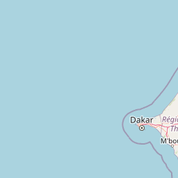
Discover the geographic setting and mapped natural terrain of this national park in West Africa.
Isles des Madeleines National Park represents a distinct protected natural area within Senegal, offering a unique focus for geographic discovery and atlas exploration. As a national park, its boundaries delineate a specific landscape that contributes to the regional context of West Africa. This MoriAtlas page serves as a canonical entry point for understanding the park's spatial identity, mapped terrain, and its significance as a conservation landscape.
Isles des Madeleines National Park
National park
Structured park overview, official facts, and landscape profile for Isles des Madeleines National Park
Geography guide, regional context, and park location map for Isles des Madeleines National Park
Senegal is a West African country along the Atlantic coast, bordered by Mauritania, Mali, Guinea, and Guinea-Bissau. It nearly surrounds The Gambia and shares a maritime border with Cape Verde. The capital is Dakar.
Senegal is situated in West Africa along the Atlantic Ocean coast. It borders Mauritania to the north, Mali to the east, Guinea to the southeast, and Guinea-Bissau to the southwest. The country nearly surrounds The Gambia, a narrow strip along the Gambia River that separates the Casamance region from the rest of Senegal.
Common questions about visiting, size, designation, and location context for Isles des Madeleines National Park
Deepen your exploration by continuing the structured search for national parks and protected areas worldwide. Utilize the comprehensive filtering capabilities to compare different conservation landscapes and refine your understanding of global park geography. Discover more about the distribution and characteristics of protected natural areas.

