Mori Atlas logo
Park earthquake history

Review documented seismic events by epicentre distance, date, and magnitude within the High Sierra landscape

Recorded Earthquake History and Historical Seismic Records for Jennie Lakes Wilderness

Explore a chronological catalogue of seismic events documented in the immediate vicinity of Jennie Lakes Wilderness. This collection provides transparent access to historical earthquake data, allowing researchers and observers to analyze recorded activity levels based on epicentre distance from key geographic points across the wilderness. Data records include event timing, precise magnitude metrics, and focal depth to support a broader understanding of the region's seismic profile.

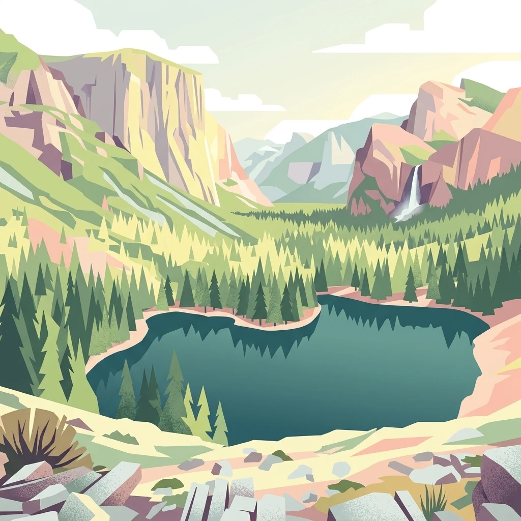
A digital illustration of an alpine lake surrounded by evergreen trees, towering mountain cliffs, and a small waterfall on the right, under a pale sky.

A high Sierra wilderness of alpine lakes, fir forests, and granite peaks in California's Sequoia National Forest.

Jennie Lakes Wilderness

Jennie Lakes Wilderness is a protected high Sierra landscape in Tulare County, California, situated between Sequoia National Park to the south and Kings Canyon National Park to the east. Designated in 1984 through the California Wilderness Act, the wilderness falls within the Sequoia National Forest and is administered by the U.S. Forest Service. The area encompasses roughly 10,500 acres of alpine and subalpine terrain, including a collection of mountain lakes, forested slopes, meadows, and rugged ridges. Much of the wilderness sits above 7,000 feet in elevation, with its highest point at Mitchell Peak. The landscape blends classic Sierra Nevada scenery of granite outcrops, deep canyons, conifer forests, and seasonal wildflower displays. Jennie Lakes Wilderness serves as both a destination for outdoor recreation and a natural link between two of California's largest national parks, allowing hikers to move between Sequoia and Kings Canyon through a connected network of trails.

Location
United States of America
Park type
Wildlife reserve
Established
1984
Area
42.7 km²
Highest point
3,159 m
Jennie Lakes Wilderness Map and Geography

Compare seismic records near its alpine lakes and granite Sierra terrain

Explore earthquakes around Jennie Lakes Wilderness

Earthquakes in this collection are linked to Jennie Lakes Wilderness through mapped epicentres 15.72 to 49.31 kilometres from its boundary, with none recorded inside it. Compare event times, magnitudes, depths, reported localities, distances, and sources while keeping these observations separate from claims about effects on the wilderness's lakes, canyons, granite ridges, or current visitor safety.

Sort by
Magnitude
Location

This page describes catalogued earthquakes associated with the park by epicentre location and distance. It does not establish causation, assess current danger, or predict future earthquakes.

No earthquake records match the current filters

Park atlas

Continue from Jennie Lakes Wilderness earthquake history

Find additional protected parks after Jennie Lakes Wilderness

Move from Jennie Lakes Wilderness’s earthquake collection to landscapes with separate atlas identities and protected-area stories. The cards are not offered as Sierra Nevada twins and do not imply shared alpine lakes, granite peaks, United States wilderness designation, seismic evidence, geographic proximity, current hazard, record depth, or risk.
National parkCalifornia
Park boundaries overlap#1 closest

North

Kings Canyon National Park National Park: California Protected Landscape & Geography Atlas

Mapped park boundaries and regional natural context.

Kings Canyon National Park stands as a key protected national park within California, offering a specific focus for geographic understanding and atlas-based exploration. This page details the park's mapped boundaries and its integration into the broader regional geography of California. For users interested in the distribution of protected lands and the mapping of natural landscapes, Kings Canyon National Park provides a crucial point of study within the comprehensive park atlas.

Area
1,869.25 km²
Established
1890
IUCN
II
Visitors
641K annual
Watercolor painting of a panoramic mountain landscape with stylized pine trees and soft green meadows.
Protected landscapeCalifornia
Park boundaries overlap#2 closest

South

Sequoia National Forest: Protected Sierra Nevada Geography and Mountain Terrain

A vast protected landscape spanning 1.1 million acres in California

Spanning Tulare, Kern, and Fresno counties, Sequoia National Forest preserves iconic giant sequoia groves across multiple river watersheds. The terrain features vertical relief exceeding 11,000 feet, showcasing a range of ecosystems from chaparral slopes and coniferous forests to glacial cirques and granite spires located within the southern Sierra Nevada range.

Area
4,829.17 km²
Established
1908
Relief
Mountain
Climate
Mediterranean
National parkCalifornia
Park boundaries overlap#3 closest

Southwest

Sequoia National Park National Park: Geographic Identity and Protected Landscape Atlas

Explore mapped boundaries and the terrain of this California protected area.

Gain a structured understanding of Sequoia National Park as a protected landscape, focusing on its mapped geographic boundaries and its context within California. This entry provides foundational data for exploring the park's natural terrain and its role in a broader atlas of conservation lands, ideal for users seeking detailed geographic information.

Area
1,635.19 km²
Established
1890
IUCN
II
Visitors
1.2M annual
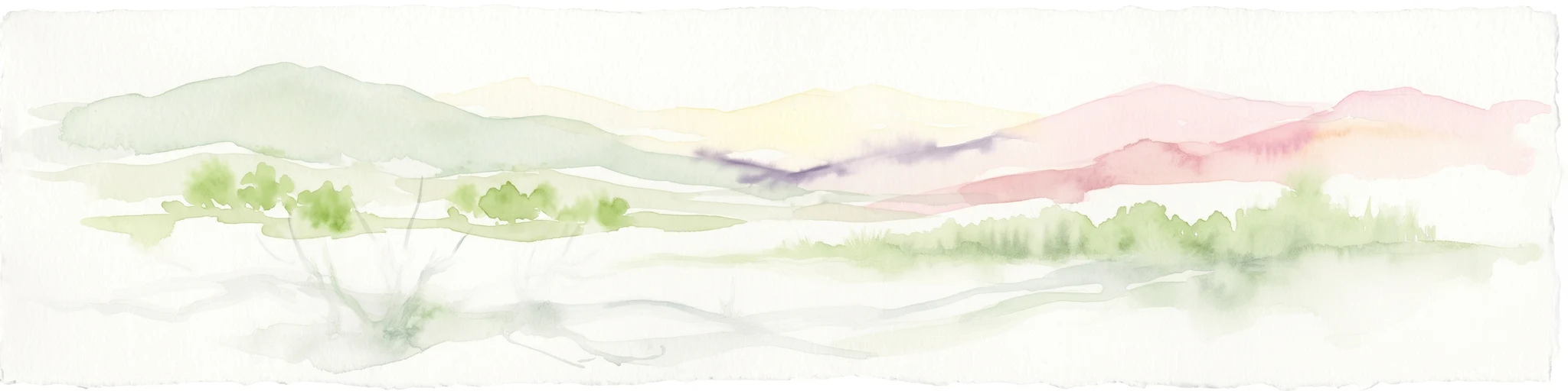
A soft watercolor painting showing a range of gentle rolling hills and mountains in pale green, yellow, and violet tones against a white background.
Protected landscapeCalifornia
13 km away#4 closest

Northwest

Sierra National Forest: Protected Landscapes of the Central California Sierra Nevada

Geography of alpine lakes, conifer forests, and mountain basins

Spanning from 900 to nearly 14,000 feet in elevation, Sierra National Forest protects a massive vertical range of California terrain. Discover its iconic wilderness areas and reservoir-studded landscape, providing a deep look at the geographic connectivity between major national parks in the central Sierra Nevada.

Area
5,300 km²
Established
1893
Relief
Mountain
Climate
Alpine
A watercolor painting showing a panoramic view of mountain ranges, a treeline, and a calm body of water in the foreground.
Wildlife reserveCalifornia
22 km away#5 closest

North

John Muir Wilderness: Sierra Nevada Protected Landscape and High Mountain Geography

California wilderness area with glacial basins and granite peaks

John Muir Wilderness represents one of the largest protected high-elevation areas in the contiguous United States. Spanning the Sierra Nevada crest, its granite terrain is sculpted by Pleistocene glaciation into sharp arêtes, deep canyons, and hundreds of alpine lakes. This wilderness serves as a vital geographic anchor for mountain ecosystems, offering an extensive look at the high-country landscape of eastern California.

Area
2,641.76 km²
Established
1964
IUCN
Ib
Relief
Mountain
A horizontal watercolor painting depicting a mountain range in the background with rolling hills and a winding river or stream in the foreground.
Protected landscapeCalifornia
30 km away#6 closest

North

Inyo National Forest: An Atlas of Protected Landscapes and Sierra Nevada Geography

High altitude wilderness and volcanic terrain in Eastern California

Spanning from the arid Owens Valley floor to the 14,000 foot crest of the Sierra Nevada, Inyo National Forest remains a cornerstone of the American West. This protected landscape contains the Ancient Bristlecone Pine Forest, Mount Whitney, and the Mono Inyo volcanic chain, providing a dense geographic record of glacial, tectonic, and ecological diversity across a vast managed corridor.

Area
7,702.71 km²
Established
1907
IUCN
Ib
Relief
Mountain
National parkCalifornia
70 km away#7 closest

East

Death Valley National Park: Exploring California's Mapped Protected Landscape

View the geographic boundaries and desert terrain.

Access a detailed atlas perspective of Death Valley National Park, a protected national park situated in California. Understand the park's distinct mapped boundaries and its role within the regional geography. This resource highlights the unique desert landscape, offering focused insights into its protected-area identity and natural terrain for geographic discovery.

Area
13,848.4 km²
Established
1994
IUCN
II
Visitors
1.1M annual
A soft watercolor painting of rolling hills and mountain ridges, featuring shades of green, yellow, and faint pink on a white background.
Wildlife reserveCalifornia
84 km away#8 closest

Southeast

Domeland Wilderness: Granite Spires and Kern Plateau Geography in the Southern Sierra Nevada

A protected wilderness landscape on the California high plateau

Spanning over 130,000 acres, Domeland Wilderness offers a deep look into the geological transition zone of the southern Sierra Nevada. The protected landscape is characterized by its iconic granite domes and spires, vast summer range meadows for deer, and the winding course of the Wild and Scenic South Fork Kern River. This atlas entry details the rugged terrain, ridge boundaries, and ecological diversity found across this lightly visited high-altitude wilderness.

Area
526.42 km²
Established
1964
IUCN
Ib
Relief
Mountain
MoriAtlas Explorer

Continue Exploring the Jennie Lakes Wilderness Landscape and Protected Boundaries

Gain a deeper understanding of the Jennie Lakes Wilderness geography through our structured park data. Explore how this Tulare County reserve connects broader Sierra Nevada ecosystems, mapping the interplay between its alpine lakes, granitic terrain, and protected forest corridors on MoriAtlas.