
Mori Atlas logo
Wildlife reserveJuniper Prairie Wilderness

Tracing the mapped boundaries of Florida pine flatwoods, wet prairies, and spring-fed river corridors

Juniper Prairie Wilderness: A Protected Wildlife Reserve and Literary Landscape in Marion County

Juniper Prairie Wilderness represents a vital protected landscape within the Ocala National Forest of Marion County, Florida. This wildlife reserve encompasses a mosaic of sand pine scrub, longleaf pine flatwoods, and lush subtropical palm jungles centered around the drainage basin of the Juniper River. Beyond its ecological diversity, the area serves as a significant literary landscape, famously capturing the frontier character that inspired Marjorie Kinnan Rawlings in her work, The Yearling.

wilderness areaOcala National Forestlongleaf pinesand pine scrubwet prairiepalmetto jungle
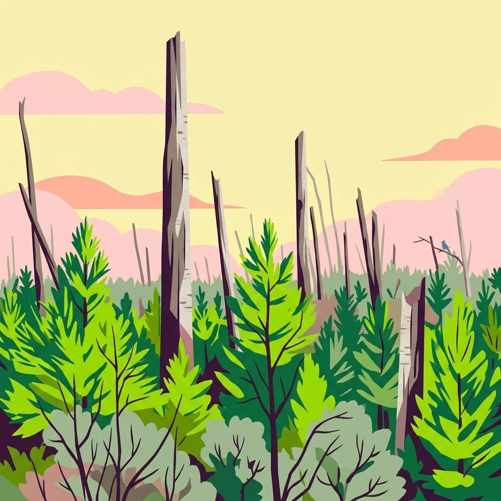
A stylized illustration of a forest scene featuring bright green pine trees and tall, weathered dead tree trunks against a soft yellow and pink sky.

Juniper Prairie Wilderness

Wildlife reserve

Park overview

Structured park overview, official facts, and landscape profile for Juniper Prairie Wilderness

Juniper Prairie Wilderness park facts, protected area profile, and essential visitor context

Review the core facts for Juniper Prairie Wilderness, including designation, size, terrain, visitor scale, habitats, and operating context in one park-focused overview.

About Juniper Prairie Wilderness

Juniper Prairie Wilderness sits in the heart of the Ocala National Forest, one of the largest federal forests in Florida and a stronghold of the peninsula's upland ecosystems. The wilderness is not a single landscape type but a mosaic: longleaf pine and sand pine scrub rise above open prairie basins, while spring runs, marshes, and palm jungle gather in the lowlands. This density of habitat types within a single protected boundary gives the area an outsized ecological significance for central Florida.

The defining geographic feature of the wilderness is the Juniper River system. The river's headwaters, Juniper Springs, emerge from a first-magnitude artesian aquifer, producing clear, steady flows that sustain the surrounding wet forests and sawgrass flats. The entire drainage basin of this spring-fed river falls within the wilderness, meaning the watershed is protected in a near-natural state, an increasingly rare condition in peninsular Florida where aquifers and spring systems face broad anthropogenic pressures.

Equally important is what the protectorate excludes. As a federally designated Wilderness Area, Juniper Prairie is managed to preserve its wilderness character, limiting road construction, motorized access, and modern development. This designation, combined with the area's long inclusion in the Ocala National Forest (since 1908), has allowed its vegetation and hydrology to recover from the earlier era of homesteading and to maintain much of its original character. For visitors and researchers, the wilderness offers a tangible example of how Florida's upland and lowland systems can be conserved together as one integrated landscape rather than as fragmented pieces.

Quick facts and research context for Juniper Prairie Wilderness

Juniper Prairie Wilderness is a federally designated Wilderness Area managed by the U.S. Forest Service within the Ocala National Forest in north-central Florida. It lies in Marion County, near the city of Ocala. Roughly 13,260 acres in size, it was established in 1984 and carries an IUCN Category Ib designation. The wilderness protects the drainage basin and headwaters of the Juniper River, including Juniper Springs, one of Florida's first-magnitude artesian springs.

Protection and recognition

Documented terrestrial protection scope and official designation records

Juniper Prairie Wilderness Protection Status and Recognition Data

Juniper Prairie Wilderness maintains a recorded terrestrial protection scope within the broader network of conserved natural areas. Structured conservation records provide clear reference data regarding official protected area designation and management status.

Protection details

Protection scope
Terrestrial
Transboundary protection
No
Park context

Deeper park guide and search-rich context for Juniper Prairie Wilderness

Juniper Prairie Wilderness history, landscape, wildlife, and travel context

Explore Juniper Prairie Wilderness through its history, landscape character, ecosystems, wildlife, conservation priorities, cultural context, and seasonal travel timing in a structured park guide built for atlas discovery and search intent.

Why Juniper Prairie Wilderness stands out

Juniper Prairie Wilderness is best known for the contrast between its dry Florida scrub and pine flatwoods and its wet prairie, palm hammocks, and spring-fed river corridors. It is also widely recognized as the setting that inspired Marjorie Kinnan Rawlings' novel *The Yearling*, drawing on the lives of its last 19th-century homesteaders along the Juniper River.
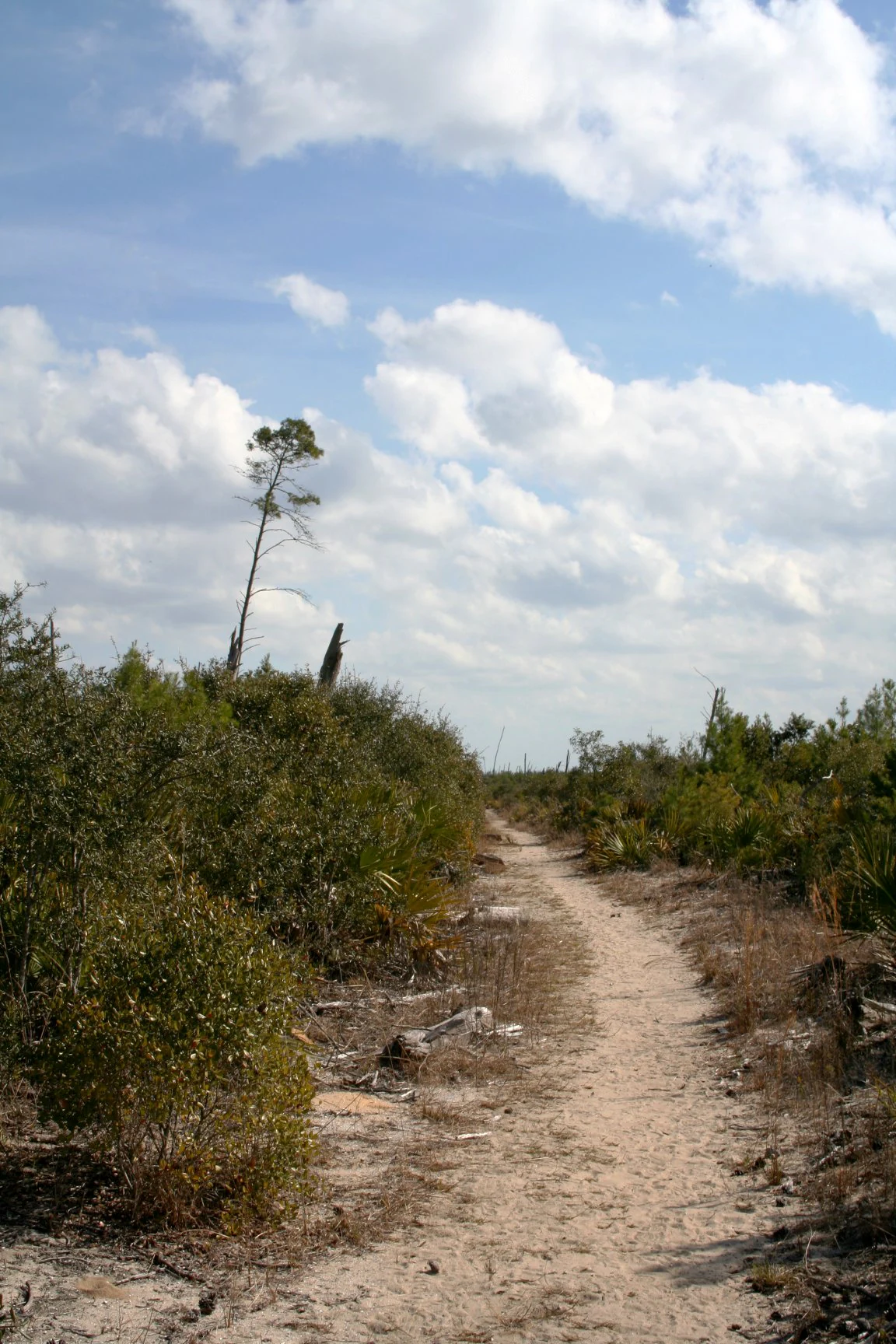
A narrow, light-colored dirt trail leads through low-lying scrub brush and sparse trees under a blue sky with scattered clouds.
A sandy path winds through the open scrubland of the Yearling Trail in Juniper Prairie Wilderness.

Juniper Prairie Wilderness history and protected-area timeline

Juniper Prairie Wilderness has a layered human history that long predates its modern protected status. In the 1840s, a settler named Patrick Smith established a homestead on what became known as Pats Island, an area along the Juniper River corridor. Reuben Long and his family followed in 1872, beginning one of the more widely documented family settlements of the region. By the early 1900s, the population of Pats Island had grown to about a dozen families who survived through farming, hunting, fishing, and trade along the nearby St. Johns River.

Economic conditions in the region were harsh, and most inhabitants had already departed by the time the area was incorporated into the Ocala National Forest in 1908. The last two residents of Pats Island, Calvin and Mary Long, stayed until 1935, ending a roughly 90-year cycle of human settlement in the Juniper Prairie area.

In October 1933, author Marjorie Kinnan Rawlings visited Calvin and Mary Long, gathering the stories and setting details that would shape her novel *The Yearling*, published in 1938 and awarded the Pulitzer Prize in 1939. A 1946 film adaptation cemented the cultural reach of the landscape. The U.S. Forest Service later formalized the area's ecological importance as a Wilderness Area in 1984, giving Juniper Prairie Wilderness both a literary legacy and a long-term conservation standing.

Juniper Prairie Wilderness landscape and geographic character

The landscape of Juniper Prairie Wilderness is shaped by the gentle, rolling topography typical of Florida's central ridge and the abrupt transitions between dry uplands and spring-fed wetlands. Sand pine scrub and longleaf pine flatwoods dominate the higher, well-drained ground, creating open, sunlit vistas punctuated by low scrub oaks and wiregrass. These drier communities drop quickly into wet prairie basins, marshy depressions, and the dark, sinuous corridors of swamp hardwoods, palm jungles, and sawgrass.

The watershed of the Juniper River defines much of the area's character. Juniper Springs, a first-magnitude artesian spring, releases large volumes of clear water that flow out through subtropical vegetation before joining the broader St. Johns River system to the east. The resulting mosaic gives the wilderness a restless, shifting visual quality: shaded palm and hardwood hammocks give way to wide prairie openings, with the spring run running through it all like a connective thread.

While the terrain is largely low-elevation and undramatic by mountain standards, the variety of plant communities within a single protected boundary creates strong scenic contrast. Frequent prescribed and natural fire cycles, visible in post-fire regrowth across the landscape, are part of how the wilderness maintains its open pine and scrub character.

Juniper Prairie Wilderness ecosystems, habitats, and plant life

Juniper Prairie Wilderness conserves a striking cross-section of central Florida's ecological communities within a relatively small area. Upland environments include longleaf pine flatwoods dominated by longleaf pine (Pinus palustris) and a diverse wiregrass understory, as well as sand pine scrub on the deeper, more acidic sands. These dry communities are notable as remnants of once widespread Florida ecosystems that have been heavily reduced elsewhere by development and fire suppression.

In contrast, the lowland habitats are among the wettest and most biologically rich in the region. Open wet prairies, marshes, and sawgrass flats occupy the basin depressions, while subtropical palm jungles and hardwood swamps line the spring-fed drainage of the Juniper River. Together, the prairie-scrub-palm mosaic makes Juniper Prairie ecologically distinctive: a single protected unit that links terrestrial and wetland communities in a way that closely mirrors the historical natural landscape of this part of Florida.

The wilderness also plays a hydrological role. As a protected drainage basin for the Juniper River, anchored by a first-magnitude artesian spring, it helps safeguard water quality and flow in a part of Florida where aquifer and spring health is a regional concern.

Juniper Prairie Wilderness wildlife and species highlights

Wildlife in Juniper Prairie Wilderness reflects the diversity of its habitat mosaic. The open pine flatwoods and scrub communities support species adapted to fire-maintained landscapes, while the prairie, marsh, and palm hammock areas provide habitat for wetland-associated fauna. The variety of cover types within a compact area allows the wilderness to sustain a broader range of species than more uniform habitats.

The river and spring system is a significant ecological anchor. Juniper Springs and the Juniper River corridor provide reliable freshwater habitat, supporting fish, amphibians, and reptiles characteristic of Florida spring runs, while the surrounding wet prairie and sawgrass flats are attractive to wading birds and other marsh-dependent species. The combination of dry upland foraging habitat and adjacent wetland cover gives the area strong year-round ecological value.

Juniper Prairie Wilderness conservation status and protection priorities

Juniper Prairie Wilderness is significant from a conservation standpoint because it preserves an unusually intact association of Florida upland and wetland communities in a single protected unit. Longleaf pine and sand pine scrub are among the most reduced ecosystems in the southeastern United States, and their continued presence here, sustained in part by active fire regimes, is a focal point of the wilderness's conservation value.

The protection of the Juniper River drainage basin is equally important. By safeguarding the headwaters and the springs that feed them, the wilderness helps maintain water quality, hydrological function, and spring ecology in a region where aquifer-dependent systems are under increasing pressure. Designated in 1984 as a federally protected Wilderness Area, Juniper Prairie benefits from management that restricts development, limits motorized access, and emphasizes the preservation of wilderness character over high-intensity recreation or extraction.

Juniper Prairie Wilderness cultural meaning and human context

Juniper Prairie Wilderness carries a distinctive cultural legacy rooted in the late 19th- and early 20th-century homesteaders of the Juniper River corridor. The settlement of Pats Island, populated unevenly from the 1840s through the early 1900s, is among the best-documented small pioneer communities in this part of Florida. The Long family, whose presence stretched into the 1930s, became a touchstone for one of America's most widely read regional novels.

Through Marjorie Kinnan Rawlings' *The Yearling*, the landscape of Juniper Prairie entered American literary culture. Rawlings drew directly on the people and environment of Pats Island, transforming the real Juniper River country into the fictional backdrop of her Pulitzer Prize-winning story. The Yearling Trail, which traverses the wilderness, links this literary association to the actual geography of the area, giving the wilderness a dual identity as both a natural and a cultural landmark of central Florida.

Top sights and standout views in Juniper Prairie Wilderness

Juniper Prairie Wilderness stands out for the close integration of its habitats. Longleaf pine flatwoods, sand pine scrub, prairie, marsh, palm jungle, and hardwood swamp are not separated into distinct zones but blend into one another across the Juniper River drainage, creating a landscape of notable ecological complexity within a relatively small area.

Its cultural significance is equally distinctive. As the landscape behind Rawlings' *The Yearling* and the home of its last homesteaders, Juniper Prairie occupies a rare place among American wilderness areas as both an ecological preserve and a literary landscape. The protected status of an entire first-magnitude spring drainage basin further distinguishes it as a hydrologically important site within the Ocala National Forest.

Best time to visit Juniper Prairie Wilderness

The character of Juniper Prairie Wilderness shifts with Florida's seasonal rhythm, even within a generally mild climate. Cooler, drier months from late autumn through early spring tend to offer more comfortable conditions for hiking the prairie and scrub uplands, with reduced insect activity and clearer views through the open pine and wiregrass understory. Wildlife observation can also be productive in this period, as animals concentrate around the more reliable water sources of the Juniper River and its associated wet habitat.

In warmer months, the wetter portions of the wilderness, particularly the river corridor and palm hammocks, become the more rewarding areas to explore, while open pine and prairie communities can be hot and exposed. Fire is a recurring part of the ecosystem, and visitors may encounter areas of post-burn regrowth at any time of year, a visible reminder that the open character of the scrub and prairie depends on periodic fire. Year-round, the Juniper Springs area is the most consistent natural anchor of any visit.
Monthly climate preview

Long-term temperature ranges and monthly precipitation averages for Marion County protected terrain

Juniper Prairie Wilderness Climate Normals and Annual Weather Patterns

Representative coordinate records show sustained annual temperature ranges and measured monthly precipitation values across the protected landscape. Examining the complete twelve-month climatology dataset reveals broader seasonal variations in temperature and precipitation normals.
Annual mean22 °C
14 °C27 °C
Jan14°
Feb16°
Mar18°
Apr22°
May25°
Jun27°
Jul27°
Aug27°
Sep26°
Oct22°
Nov18°
Dec15°
Warmest month
July

27.4 °C

Coolest month
January

13.9 °C

Wettest month
June

6.2 mm/day

Driest month
November

1.6 mm/day

Park location guide

Geography guide, regional context, and park location map for Juniper Prairie Wilderness

Juniper Prairie Wilderness park geography, regions, and map view in United States of America

Understand where Juniper Prairie Wilderness sits in United States of America through a broader geographic reading of the surrounding landscape, nearby location context, and its mapped position within the national park landscape.

How Juniper Prairie Wilderness fits into United States of America

The United States of America is a federal presidential republic and one of the world's largest countries by area and population. It consists of 50 states across a vast territory spanning multiple time zones, with its capital in Washington, D.C. and largest city in New York City. The nation has a diverse economy, influential political system, and significant cultural and military presence globally.

Wider geography shaping Juniper Prairie Wilderness in United States of America

The United States occupies a vast territory in North America, bordered by Canada to the north and Mexico to the south. The 48 contiguous states stretch from the Atlantic to the Pacific Ocean, while Alaska occupies the northwestern region and Hawaii is an archipelago in the Pacific. The country encompasses diverse terrain including the Rocky Mountains, Appalachian Mountains, Great Plains, and extensive river systems.

Map view of Juniper Prairie Wilderness

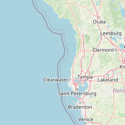
Use this park location map to pinpoint Juniper Prairie Wilderness in United States of America, understand its exact geographic position, and read its mapped placement within the surrounding landscape more clearly.

Pigeon | © OpenStreetMap contributors

Location context for Juniper Prairie Wilderness

FloridaMarion County

Visual reference of protected scrub, spring runs, and palm hammocks

Juniper Prairie Wilderness Photos: Landscapes, Scenery, and Habitats

Visual documentation reveals the striking ecological contrast between dry upland pine flatwoods and wet subtropical lowlands within Juniper Prairie Wilderness. Examining field photography helps researchers and visitors understand the diverse habitats, spring-fed waterways, and protected terrain defining the region.

A narrow, light-colored dirt trail leads through low-lying scrub brush and sparse trees under a blue sky with scattered clouds.

A wide view of a scrubland habitat with low green pine shrubs and scattered tall, weathered, leafless tree snags against a clear blue sky.

Park atlas

Compare surrounding regional geography and connected wetland habitats

Other Parks Near Juniper Prairie Wilderness and Related Protected Landscapes

Browse nearby national parks and protected areas sharing similar regional geography and wetland terrain. Comparing these connected landscapes helps place the distinctive pine flatwoods and spring runs of Juniper Prairie Wilderness into a broader ecological context.
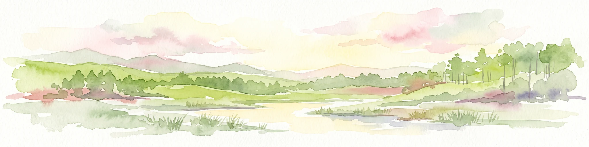
A horizontal watercolor painting depicting a soft-toned, light-filled forest landscape with a calm body of water in the foreground and rolling treed hills in the background.
Protected landscapeFlorida
Park boundaries overlap#1 closest

West

Ocala National Forest: A Comprehensive Look at Florida's Largest National Forest Landscape

Protected scrub ecosystems and hydric river networks

Explore the geographic expanse of Ocala National Forest, the oldest national forest east of the Mississippi. This protected area features the vast Big Scrub, a unique sand pine ecosystem that anchors a diverse terrain of longleaf pine, blackwater rivers, and crystal-clear springs across multiple Florida counties.

Area
1,741.96 km²
Established
1908
Relief
Lowland
Climate
Subtropical
A watercolor painting showing a soft, stylized landscape with rolling green hills, a small river or stream, and a hazy sky at sunrise or sunset.
Protected landscapeFlorida
72 km away#2 closest

Northwest

Osceola National Forest: Mapping the Protected Landscapes and Geography of Northeast Florida

Pine flatwoods, cypress swamps, and historic wilderness terrain

Osceola National Forest serves as a protected landscape in northeast Florida, defined by its extensive pine flatwoods and cypress-hardwood swamp mosaics. The forest provides vital habitat for wildlife like the Florida black bear and red-cockaded woodpecker, while preserving significant historical narratives. Its geography, marked by low elevations and slow-moving water, creates an expansive natural environment for ecological observation and regional exploration.

Area
772.67 km²
Established
1931
Relief
Lowland
Climate
Subtropical
Nature reserveFlorida
About 87 km away#3 closest

North

Guana Tolomato Matanzas National Estuarine Research Reserve: Florida Nature Reserve Atlas

Protected estuarine geography and coastal river convergence

Discover the geographic complexity of this research-driven protected area, where freshwater and saltwater environments converge along the Florida coastline. The reserve features an intricate network of tidal creeks, pine flatwoods, and coastal dunes, providing a unique look into the regional ecology of the Carolinian marine bioregion and its significant role in maritime conservation science.

Area
296.46 km²
Established
1999
IUCN
IV
Relief
Lowland
A minimalist watercolor illustration showing green rolling hills and a shoreline against a pale background, representing the natural coastal landscape.
Protected landscapeFlorida
About 95 km away#4 closest

Southeast

Canaveral National Seashore Protected Landscape and Barrier Island Geography

Coastal ecosystems of the Florida Atlantic shore

Canaveral National Seashore stands as a significant protected landscape on the Florida coast, offering a cross section of barrier island geography. This protected area connects the dynamic Atlantic oceanfront with the calm, biodiverse waters of the Mosquito Lagoon, forming a vital refuge of dunes, maritime hammocks, and estuarine wetlands.

Area
233.35 km²
Established
1975
IUCN
V
Visitors
2.5M annual
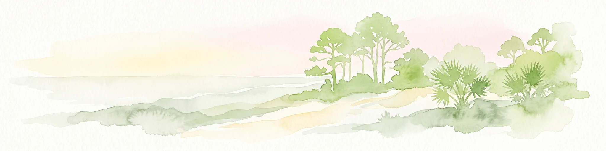
A soft watercolor painting of a coastal scene with sandy dunes, pine trees, and palmetto bushes against a pale, warm-toned sky.
Protected areaGeorgia
162 km away#5 closest

North

Cumberland Island National Seashore: Protected Barrier Island Geography and Mapping

A wild coastal landscape on the southeastern Georgia shoreline

Cumberland Island National Seashore stands as a significant protected area on the Atlantic coast, defined by its lack of paved roads and vehicle-free status. The geography spans a complex array of habitats, including maritime forests, tidal creeks, and salt marshes, anchored by historic estates. This protected landscape represents an essential case study in coastal barrier island ecology and preserved historic environments.

Area
147.368 km²
Established
1972
IUCN
II
Visitors
60.3K annual
Marine protected areaGeorgia
244 km away#6 closest

North

Gray's Reef National Marine Sanctuary: Continental Shelf Geography and Reef Mapping

Submerged sandstone ridges and Atlantic marine habitat

Gray's Reef National Marine Sanctuary protects one of the largest near-shore live-bottom reefs in the southeastern United States. This submerged landscape consists of sandstone ledges rising above the sandy seafloor, fostering a unique three-dimensional habitat that supports a diverse range of marine invertebrates and fish species across its 22-square-mile protected boundary.

Area
57 km²
Established
1981
IUCN
IV
Relief
Lowland
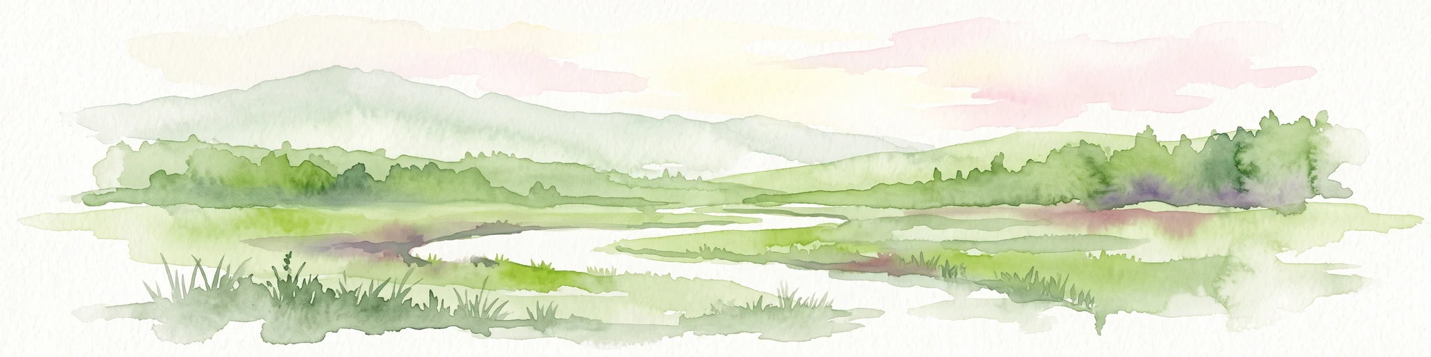
Watercolor painting of a meandering river flowing through a green marshland with rolling hills in the background under a pale sky.
Nature reserveFlorida
About 317 km away#7 closest

West

Apalachicola National Estuarine Research Reserve: Florida Protected Estuary and Coastal Geography

Exploring the tidal marshes and benthic habitats of Florida's Gulf Coast.

Apalachicola National Estuarine Research Reserve offers a deep look into the coastal geography of the Florida panhandle. As a protected area, it manages the complex intersection of estuarine food chains, commercial fishing zones, and vital wetland habitats, utilizing advanced GIS capabilities to map the bay's submerged reefs and tidal channels.

Relief
Lowland
Climate
Subtropical
Scope
Marine
Water
Water-dominated
Watercolor illustration depicting a panoramic view of a coastal estuary with green mangrove islands, tidal channels, and a soft pink sunset sky.
Marine protected areaFlorida
About 354 km away#8 closest

South

Rookery Bay National Estuarine Research Reserve: Coastal Geography and Protected Estuarine Waters

Subtropical mangrove landscapes within the Florida Gulf Coast region.

This marine protected area encompasses a vast sweep of sheltered coastal waters and tidal forests at the northern edge of the Ten Thousand Islands. The reserve stands as a prime example of an undisturbed subtropical estuary, characterized by continuous mangrove shorelines and intricate hydrologic networks that provide critical habitat for numerous estuarine dependent species.

Area
445.15 km²
Established
1980
Relief
Lowland
Climate
Subtropical

Common questions about visiting, size, designation, and location context for Juniper Prairie Wilderness

Juniper Prairie Wilderness FAQs for park facts, access, geography, and protected area context

Find quick answers about Juniper Prairie Wilderness, including protected-area facts, park geography, trail and visitor context, and how the park fits into its surrounding country and regional landscape.
MoriAtlas Explorer

Continue Your Protected Areas Search Across the Global Atlas

Deepen your exploration by continuing the structured search for national parks and protected areas worldwide. Utilize the comprehensive filtering capabilities to compare different conservation landscapes and refine your understanding of global park geography. Discover more about the distribution and characteristics of protected natural areas.

Global natural geography