Mori Atlas logo
Park earthquake history

A curated catalogue of recorded seismic events associated with the surrounding Appalachian terrain

Historical Earthquake Records and Seismic Data for the Kimberling Creek Wilderness Region

This historical catalogue provides a structured overview of recorded earthquake activity identified within the geographic vicinity of Kimberling Creek Wilderness in Bland County, Virginia. Each entry details event dates, recorded magnitudes, and depth measurements, allowing for a clearer understanding of local seismic history. The records are derived from geological data and serve as a reference for seismic occurrences documented near these protected Appalachian highlands.

A flat-style digital illustration showing a winding river flowing through a valley between gentle hills, framed by silhouetted trees in the foreground.

A trail-free Appalachian wilderness protecting recovering old growth forest on Hogback Mountain.

Kimberling Creek Wilderness

Kimberling Creek Wilderness is a small federally designated wilderness area in the Appalachian highlands of southwestern Virginia, lying within Bland County about three miles west of the community of Bastian. Set on the slopes and summit ridge of Hogback Mountain, the area is managed by the U.S. Forest Service as part of the Jefferson National Forest and contributes to the broader National Wilderness Preservation System. The wilderness protects roughly 5,900 acres of rugged, steep terrain crossed by Kimberling Creek and several tributary forks. With no maintained trails, it offers a genuinely undeveloped experience within the Eastern Wilderness system, where recovering forests, deep coves, and dense rhododendron thickets dominate the landscape. Its protected status contributes to safeguarding the diversity of forest ecosystems and wildlife habitat characteristic of the central Appalachians.

Location
United States of America
Park type
Wildlife reserve
Established
1984
Area
24 km²
Highest point
975 m
Kimberling Creek Wilderness Geography

Explore Kimberling Creek Wilderness events across dates and distances

Study earthquake history surrounding Kimberling Creek Wilderness

Kimberling Creek Wilderness earthquake history is organised by epicentre and wilderness distance, without assuming each event occurred within it. Study dates, magnitudes, depths, locations, distance figures, and cited records for historical research without attributing seismic cause to creek or wilderness features, assessing current danger, or forecasting activity.

Sort by
Magnitude
Location

This page describes catalogued earthquakes associated with the park by epicentre location and distance. It does not establish causation, assess current danger, or predict future earthquakes.

No earthquake records match the current filters

Park atlas

Continue beyond Kimberling Creek Wilderness earthquake evidence

Discover other protected parks after Kimberling Creek Wilderness

Beyond the Kimberling Creek Wilderness earthquake history, the atlas opens a separate collection of protected destinations. The pages do not imply shared creeks, wilderness status, geological context, seismic evidence, proximity, hazard conditions, risk, or matching record completeness.
Wildlife reserveBland County
11 km away#1 closest

Southwest

Hunting Camp Creek Wilderness: Mapped Protected Landscapes in Bland County

Wildlife reserve terrain and Appalachian mountain geography

Hunting Camp Creek Wilderness encompasses an 8,471-acre protected area in Virginia, defined by the Garden Mountain and Brushy Mountain ridges. This wildlife reserve features deep valleys, dense forests, and a core section of the Appalachian Trail, serving as a critical refuge for local mountain biodiversity and wild backcountry exploration.

Area
34.28 km²
Established
2009
IUCN
Ib
Relief
Mountain
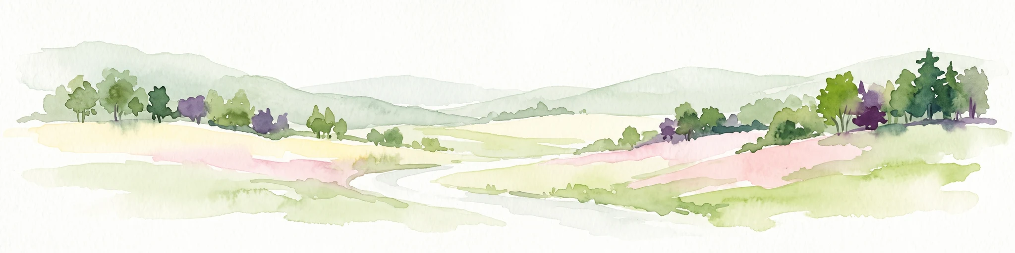
A watercolor painting showing a soft, stylized landscape with rolling green hills, a winding stream, and trees under a pale sky.
Protected areaVirginia
20 km away#2 closest

Southwest

Garden Mountain Wilderness: Appalachian Protected Area and Regional Landscape Geography

Old-growth forest and ridge-bound Appalachian terrain in Virginia

Garden Mountain Wilderness encompasses a significant Appalachian ridge and the deep Lick Creek valley within western Virginia. This protected area harbors diverse hardwood forests, old-growth remnants, and critical habitat for rare species. The topography is defined by parallel ridges and enclosed valleys, showcasing the geological complexity of the central Appalachians and the importance of localized conservation efforts.

Area
13.48 km²
Established
2009
IUCN
Ib
Relief
Mountain
A horizontal watercolor painting of rolling green hills, a winding path, and clusters of deciduous and coniferous trees.
Wildlife reserveWythe County
41 km away#3 closest

South

Little Dry Run Wilderness: Protected Wildlife Reserve Map and Geography

A detailed geographic study of southern Blue Ridge terrain.

Little Dry Run Wilderness is a protected mountain basin in Wythe County, marked by its dense hemlock-lined stream corridors and forested ridges. This record outlines the park boundaries, watershed structure, and the complex topography that characterizes this integral component of the Mount Rogers National Recreation Area.

Area
11.57 km²
Established
1984
IUCN
Ib
Relief
Mountain
Wildlife reserveVirginia
47 km away#4 closest

Northeast

Mountain Lake Wilderness: Protected Appalachian Geography and Mountain Landscapes

High-elevation wetlands and ridge-line geography in Virginia

Mountain Lake Wilderness protects a compact yet biologically diverse landscape where cool, moist conditions support rare mountain bogs and red spruce forests. This protected area along the Eastern Continental Divide features rocky outcrops like White Rocks and War Spur Overlook, providing panoramic views of the surrounding Ridge and Valley terrain within the Jefferson National Forest.

Area
44.66 km²
Established
1984
IUCN
Ib
Relief
Mountain
National parkWest Virginia
53 km away#5 closest

North

New River Gorge National Park and Preserve: Appalachian River Gorge Protected Landscape Atlas

Mapped terrain and geographic context within West Virginia.

Delve into the protected landscape identity of New River Gorge National Park and Preserve, a significant national park in West Virginia. This page details its role as a protected area, highlighting the dramatic river gorge geography, mapped terrain, and its place within the Appalachian Mountains. Understand the park's boundaries and the natural context that makes it a key destination for geographic discovery and conservation appreciation.

Area
294.64 km²
Established
2020
IUCN
V
Visitors
1.6M annual
Wildlife reserveVirginia
53 km away#6 closest

Southwest

Raccoon Branch Wilderness: Mapping Protected Wildlife Reserves in Southwest Virginia

Rugged quartzite ridges and Appalachian stream corridors

The Raccoon Branch Wilderness represents a significant protected area within the Southern Blue Ridge mountains. Its geography is characterized by parallel ridgelines and deeply cut drainage channels that support rare plant communities and endangered aquatic life. This wilderness serves as a vital component of the regional Mount Rogers cluster, preserving a representative segment of Appalachian highland terrain.

Area
17.1 km²
Established
2009
IUCN
Ib
Relief
Mountain
Wildlife reserveGrayson County
61 km away#7 closest

Southwest

Little Wilson Creek Wilderness: Protected Appalachian Forest and High Elevation Geography

Mapping the ridges, stream systems, and balds of Grayson County

Little Wilson Creek Wilderness is a significant protected area in southwestern Virginia, featuring elevations exceeding 4,800 feet. The region spans a diverse ecological landscape of rare high country bogs, northern hardwood forests, and old growth remnants that drain into the New River system. Gain insights into the terrain and boundaries of this prominent Blue Ridge Mountain wilderness.

Area
22.1 km²
Established
1984
IUCN
Ib
Relief
Mountain
Protected areaVirginia
63 km away#8 closest

Southwest

Lewis Fork Wilderness: Geography and Protected Land Profile in Southwestern Virginia

High-elevation Appalachian backcountry and ridgeline mapping

Spanning the ridgelines near the summit of Mount Rogers, Lewis Fork Wilderness serves as a key ecological anchor for Virginia. This protected backcountry offers a dense mosaic of forest types, ranging from oak-hickory stands to rare spruce-fir habitats. The landscape features steep terrain and pristine mountain streams, providing a concentrated look at the environmental complexity of the southern Appalachian Mountains.

Area
24.59 km²
Established
1984
IUCN
Ib
Relief
Mountain
MoriAtlas Explorer

Continue Exploring the Geographic Landscape of Kimberling Creek Wilderness

Deepen your understanding of Kimberling Creek Wilderness by examining its complex drainage basins, rugged mountain slopes, and protected forest status. MoriAtlas provides a clear view of how this Bland County wilderness fits into the broader Appalachian ecosystem and its surrounding Jefferson National Forest context.