
Mori Atlas logo
Nature reserveKöllnischer Wald

A massive lowland broadleaf forest defined by distinct geological substrates and managed hydrology.

Köllnischer Wald Nature Reserve: Geographic Landscape and Protected Area Atlas in North Rhine-Westphalia

(Naturschutzgebiet Köllnischer Wald)

Köllnischer Wald serves as the primary contiguous woodland within the Westphalian plain of North Rhine-Westphalia. Spanning 188 hectares, this nature reserve protects a vital mosaic of old beech stands on Cretaceous marl and acidophilic oak communities on sandy terraces. The mapped boundaries trace a complex landscape where traditional forest ecology intersects with a legacy of coal mining infrastructure and artificial drainage systems.

habitat and species management areaIUCN Category IVbroadleaf mixed forestlowland forestbeech forestoak forest
A graphic illustration showing a forest landscape with ferns and white wildflowers in the foreground, and a waterfall cascading down mountain slopes in the distance under a pale sun.

Köllnischer Wald

Nature reserve

Park overview

Structured park overview, official facts, and landscape profile for Köllnischer Wald

Köllnischer Wald park facts, protected area profile, and essential visitor context

Review the core facts for Köllnischer Wald, including designation, size, terrain, visitor scale, habitats, and operating context in one park-focused overview.

About Köllnischer Wald

Köllnischer Wald represents an unusually large and ecologically coherent block of lowland broadleaf forest within a region long defined by heavy industry and dense settlement. Framed between the A2 motorway to the south, the A31 to the northeast, and regional roads to the east and west, the reserve functions as a substantial green core for the city of Bottrop and connects ecologically with the broader Naturpark Hohe Mark landscape to the north.

The name of the forest reflects a medieval heritage. Portions of the woodland were once held by the Archbishopric of Cologne, and the Archbishop of Cologne held hunting rights in the area. Place names such as Bischofsondern preserve this historical ownership pattern. Over centuries, the forest persisted as a wooded island between agricultural land and, later, industrial expansion, providing a rare continuity of near-natural habitat in the heart of the Ruhr area.

The reserve sits above former coal workings of the Prosper Haniel mine, which was shut down in December 2018. Because long-term mining has caused surface subsidence, the natural outflow of several local streams is no longer reliable. Since the mid-twentieth century, the forest has therefore been kept artificially dry through pumping, a management intervention that has shaped the present-day character and hydrology of the woodland.

Ecologically, Köllnischer Wald is defined by a sharp geological and topographical contrast. The lower eastern portions lie on Cretaceous marl and showcase structurally rich stands of old beeches with a luxuriant ground layer of characteristic woodland herbs. The higher, sandy areas belong to an old Pleistocene river terrace and instead support acid-tolerant oak woodlands. This juxtaposition of carbonate-influenced beech forest and acidic oak forest within a single compact reserve gives Köllnischer Wald a botanical richness unusual for the Westphalian lowlands.

Quick facts and research context for Köllnischer Wald

Köllnischer Wald is a habitat and species management area classified under IUCN Category IV, situated in the northern Ruhr region between Bottrop and Kirchhellen. Under North Rhine-Westphalia's nature conservation framework it carries the designation BOT-005 and covers approximately 187.9 hectares.

Parts of the reserve along the Spechtsbach stream are additionally designated as a European Union Flora Fauna Habitat (FFH) site, giving the area transnational conservation recognition. The forest sits within Naturpark Hohe Mark and overlies the former Prosper Haniel coal mine, which closed in December 2018.

Protection and recognition

Analysis of terrestrial protected area boundaries and Natura 2000 recognition sources

Köllnischer Wald Protection Status and Documented International Designations

Köllnischer Wald maintains documented terrestrial protection status supported by official Natura 2000 recognition records. Structured administrative data details the registered conservation framework and international framework listings for this protected area.

International recognition

Protection details

Protection scope
Terrestrial
Transboundary protection
No
WDPA ID
164179
Park context

Deeper park guide and search-rich context for Köllnischer Wald

Köllnischer Wald history, landscape, wildlife, and travel context

Explore Köllnischer Wald through its history, landscape character, ecosystems, wildlife, conservation priorities, cultural context, and seasonal travel timing in a structured park guide built for atlas discovery and search intent.

Why Köllnischer Wald stands out

Köllnischer Wald is best known for being the largest contiguous, near-natural broadleaf mixed forest in the Westphalian lowland, a landscape dominated by old beech stands on marl and acidophilic oak communities on sandy terraces, all set within an industrial-region context shaped by generations of coal mining.
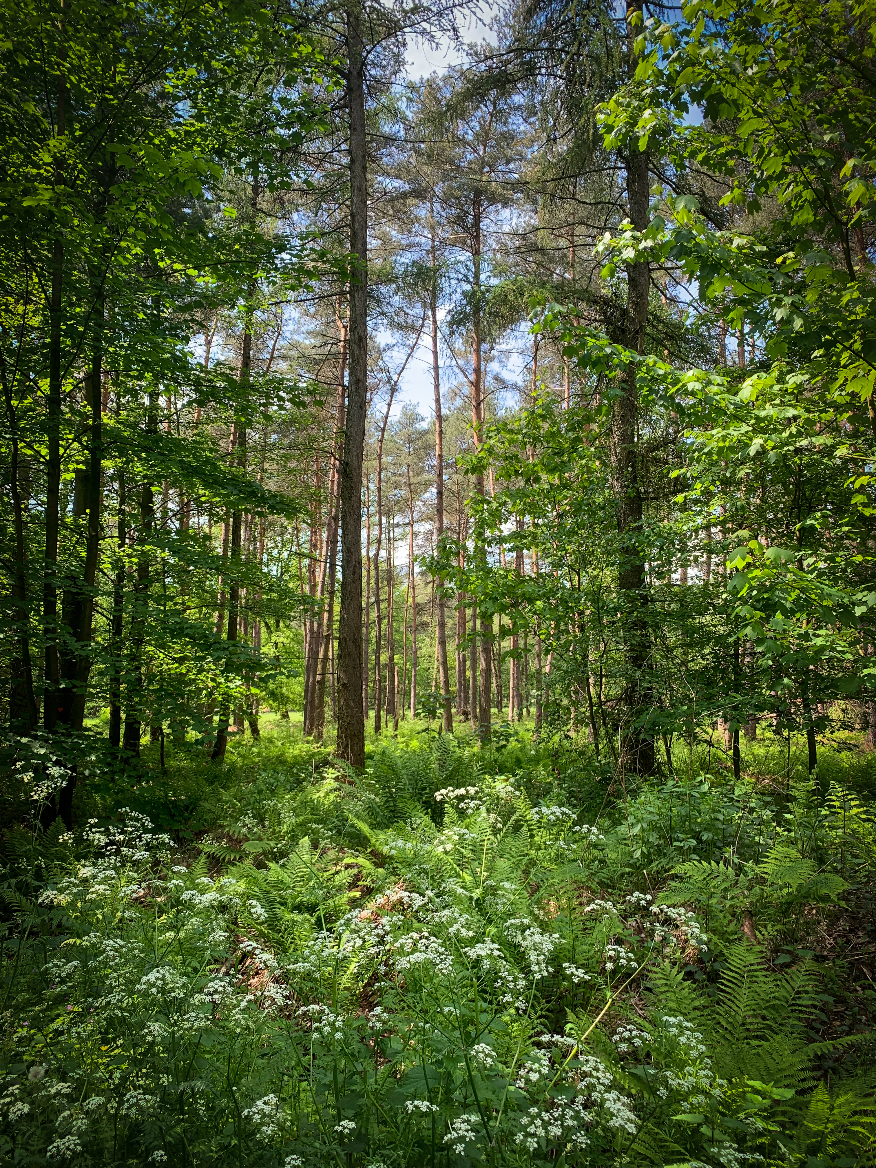
A vertical shot of a vibrant green forest with tall, slender tree trunks rising toward a light-filled canopy. In the foreground, white wildflower clusters and lush green ferns fill the forest floor.
A lush, spring forest scene in the Köllnischer Wald, featuring dense deciduous trees and flowering ground cover.

Köllnischer Wald history and protected-area timeline

The forest's name marks its medieval origins: parts of the wooded area were owned by the Archbishopric of Cologne, and the Archbishop of Cologne held hunting rights here, a legacy preserved in field names such as Bischofsondern.

The site was formally designated as a nature reserve for Bottrop in 1988, initially covering about 188 hectares under the identifier BOT-005. Sections of the reserve along the Spechtsbach were later recognized under the European Union's Habitats Directive as a Flora Fauna Habitat (FFH) site. A renewed designation in 2015 reaffirmed and updated the protected status of the area.

Köllnischer Wald landscape and geographic character

Köllnischer Wald occupies a varied lowland setting shaped by two contrasting geological substrates. The lower eastern sections are underlain by Cretaceous marl, while the higher sandy zones belong to an old Pleistocene main terrace, creating pronounced local differences in soil chemistry and vegetation.

The forest is bordered and in places dissected by major transport infrastructure. The A2 motorway cuts across the southern edge of the reserve and continues seamlessly into Bottrop's Stadtgarten, while the A31 runs along the northeastern side and the L623 and L621 roads frame parts of the eastern and western margins. Despite this fragmented boundary, the interior retains a strong sense of forest continuity.

A defining feature of the landscape is its disrupted hydrology. Several small streams, including the Spechtsbach, Düsslingsbach, Vorthbach, and Scheidgensbach, flow through or near the reserve and connect to the Boye, a tributary of the Emscher. Because mining-driven subsidence has impaired natural drainage, the watershed has been kept artificially dry through pumping since the mid-twentieth century.

Köllnischer Wald ecosystems, habitats, and plant life

The reserve is best understood as a contrast between two woodland types within a single compact area. On the calcareous Cretaceous marl of the lower eastern zone, structurally diverse stands of old beeches dominate, accompanied by an extensive and species-rich herb layer. Typical species noted for this zone include wood rush, woodland floppy-grass, wild garlic, woodruff, and wood anemone, all indicators of long-established, base-rich beech forest.

On the higher, sandier Pleistocene terraces, conditions shift sharply toward acid soils, and the forest transitions into oak-dominated woodland communities adapted to nutrient-poor and acidic substrates. This juxtaposition of base-rich beech forest and acidic oak forest within walking distance is ecologically unusual and is a key reason for the site's botanical value.

Small streams crossing or bordering the woodland, notably the Spechtsbach, support wetter microhabitats along the forest margin. Sections of this stream system carry FFH designation under European Union nature law, recognizing the conservation importance of the aquatic and riparian communities associated with these flows.

Köllnischer Wald wildlife and species highlights

Köllnischer Wald's wildlife patterns are tied closely to its two forest zones and to the small stream corridors that traverse it. The beech stands on marl provide habitats typical of old broadleaf forest, with rich leaf-litter communities supporting amphibians, ground beetles, and a broad range of woodland invertebrates, alongside the songbirds and small mammals associated with structurally diverse ancient woodland.

The acidophilic oak forest on the sandy terraces contributes a different faunal character, with communities more typical of dry, nutrient-poor woodland. Mature oaks offer nesting and foraging opportunities for cavity-using birds and a range of saproxylic insects tied to old wood.

The Spechtsbach and adjacent streams form additional habitat corridors for aquatic and semi-aquatic species, and their inclusion in FFH designation reflects the recognized conservation value of these riparian communities within the wider Bottrop natural area network.

Köllnischer Wald conservation status and protection priorities

Köllnischer Wald holds significance at three overlapping scales. Locally, its 1988 designation as a nature reserve (renumbered and reissued in 2015) under the identifier BOT-005 places the forest under formal protection through the North Rhine-Westphalia nature conservation framework and IUCN Category IV recognition as a habitat and species management area.

Regionally, the forest is a core element of Naturpark Hohe Mark, extending its ecological role far beyond the reserve boundary. Its continued woodland character provides habitat continuity in an otherwise heavily industrial and urbanized part of the northern Ruhr region.

At the European level, areas along the Spechtsbach are designated under the EU Habitats Directive as part of the Natura 2000 network, underlining the transnational value of its stream-associated habitats. Active pumping to counter mining subsidence is itself a conservation management measure, reflecting the unusual interplay between industrial legacy and ecological stewardship that shapes the present-day site.

Köllnischer Wald cultural meaning and human context

The forest's medieval association with the Archbishopric of Cologne, and the Archbishop's historical hunting rights, gives the woodland an older cultural layer than its modern conservation status suggests. Field names such as Bischofsondern continue to encode this ecclesiastical landholding history into the modern landscape.

Set within Bottrop, a city historically tied to coal mining, Köllnischer Wald also represents a counterpoint to the industrial identity of the northern Ruhr. Its persistence as near-natural woodland in close proximity to major transport corridors and former coal mine workings makes it a notable example of how nature reserves in Germany's post-industrial cities retain both ecological and cultural meaning.

Top sights and standout views in Köllnischer Wald

The Köllnischer Wald stands out for the size and ecological coherence of its lowland broadleaf forest in a heavily populated and industrialized region. Its clear separation between marl-influenced old beech forest and sandy-acid oak woodland makes it unusually botanically rich for the Westphalian lowlands.

Equally distinctive is its situation above former Prosper Haniel coal workings, where artificial drainage by pumping has become a defining management feature. Membership in Naturpark Hohe Mark, the FFH designation of Spechtsbach sections, and its role as a green core for the city of Bottrop complete a conservation profile that operates at municipal, regional, and European levels.

Best time to visit Köllnischer Wald

The reserve is a working woodland rather than a visitor attraction, so the experience is shaped less by tourism seasons than by the natural rhythm of the forest itself. Spring is the most visually rewarding time, when the herb layer in the beech stands comes into full bloom and typical lowland broadleaf species such as wood anemone, wild garlic, and woodruff create a rich ground display beneath the still-bare canopy.

Early summer maintains the freshness of the green canopy and is a good period for appreciating the structural contrast between the beech-dominated marl areas and the oak-dominated sandy terraces. In autumn, the broadleaf species produce a varied, characterful leaf coloration. Winters are mild by German standards but expose the underlying geology and topography, making the forest's contrasting substrates more visible than under full leaf cover.

Monthly climate preview

Track representative temperature ranges and daily precipitation patterns across the year

Köllnischer Wald Climate Normals and Long-Term Weather by Month

Historical data recorded between 1991 and 2000 documents measured monthly temperature swings from deep winter minimums to warm summer maximums alongside steady precipitation rates. Reviewing the complete twelve-month profile provides deeper analytical insight into long-term climate normals for this protected location.
Annual mean10 °C
1 °C19 °C
Jan
Feb
Mar
Apr
May13°
Jun16°
Jul19°
Aug18°
Sep15°
Oct10°
Nov
Dec
Warmest month
July

18.6 °C

Coolest month
January

1.5 °C

Wettest month
December

2.8 mm/day

Driest month
April

1.6 mm/day

Park location guide

Geography guide, regional context, and park location map for Köllnischer Wald

Köllnischer Wald park geography, regions, and map view in Germany

Understand where Köllnischer Wald sits in Germany through a broader geographic reading of the surrounding landscape, nearby location context, and its mapped position within the national park landscape.

How Köllnischer Wald fits into Germany

Germany is a federal republic in Western and Central Europe with a population of over 83 million across sixteen constituent states. It is Europe's largest economy by nominal GDP and a major global exporter and importer. The capital is Berlin, and the country borders Denmark, Poland, Czech Republic, Austria, Switzerland, France, Luxembourg, Belgium, and the Netherlands.

Wider geography shaping Köllnischer Wald in Germany

Germany is located in Western and Central Europe, spanning 357,022 km². It borders Denmark to the north, Poland and the Czech Republic to the east, Austria and Switzerland to the south, and France, Luxembourg, Belgium, and the Netherlands to the west. The country has coastlines on the Baltic Sea and North Sea to the north, with the Alps located in the southern region.

Map view of Köllnischer Wald

Use this park location map to pinpoint Köllnischer Wald in Germany, understand its exact geographic position, and read its mapped placement within the surrounding landscape more clearly.

Pigeon | © OpenStreetMap contributors

Location context for Köllnischer Wald

North Rhine-Westphalia
Recorded earthquake history

View the Historical Earthquake and Seismic Activity Catalogue for Köllnischer Wald

Explore the historical record of seismic events associated with the geography of Köllnischer Wald. This collection aggregates data on nearby recorded activity to provide a clearer perspective on the regional seismic context surrounding these near-natural woodlands in North Rhine-Westphalia.

Köllnischer Wald Earthquake History

Catalogued events

87 events

Strongest magnitude

Magnitude 4.6

Most recent event

Jul 24, 2009

This history includes earthquakes recorded inside the park or within 50 km of its borders

Visual exploration of habitats, broadleaf forests, and protected terrain

Köllnischer Wald Photos and Landscape Scenery

Examine detailed photography capturing the diverse forest environments and geological character of Köllnischer Wald. Visual documentation reveals the interplay of old beech stands, sandy oak terraces, and stream networks across the protected lowland reserve.

A vertical shot of a vibrant green forest with tall, slender tree trunks rising toward a light-filled canopy. In the foreground, white wildflower clusters and lush green ferns fill the forest floor.

Park atlas

Compare regional woodland geography and connected conservation areas

Explore Other Parks Near Köllnischer Wald and Surrounding Protected Landscapes

Browse nearby national parks and protected areas sharing similar Westphalian lowland terrain and forest habitats. Extending the geographic review beyond Köllnischer Wald reveals broader regional patterns in protected landscapes and river valley reserves.
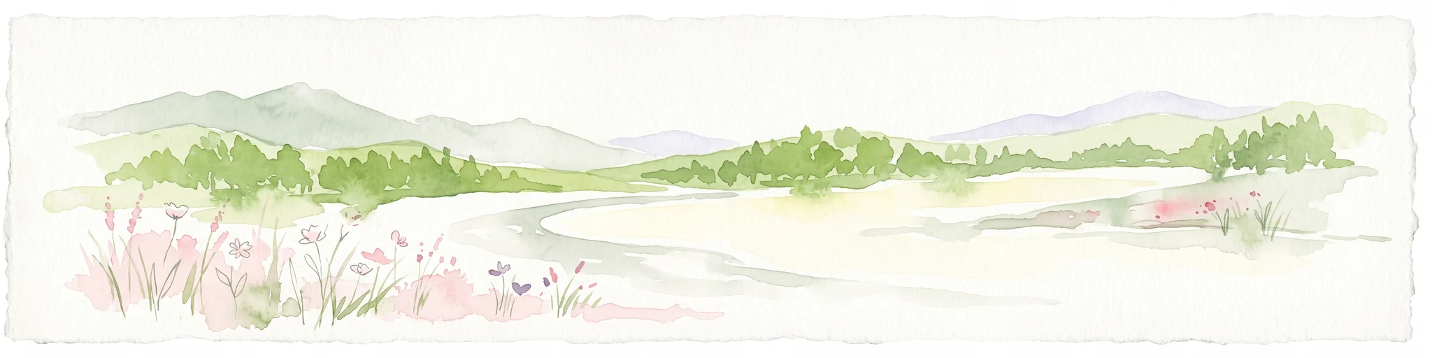
A soft watercolor painting of a valley scene featuring green hills in the distance, marshy vegetation, and a winding stream, rendered in light pink and green tones on a white background.
Nature reserveNordrhein-Westfalen
About 9.1 km away#1 closest

South

Hexbachtal Nature Reserve: Geography and Protected Landscape Analysis in Nordrhein-Westfalen

Essential green corridor and floodplain forest network

Hexbachtal serves as a crucial protected area and green corridor within the highly urbanized Ruhr region of Germany. The site features a diverse range of habitats including wet meadows, ancient floodplain forests, and a meandering stream system. Beyond its ecological function, the valley is recognized as a landmark of regional planning and successful landscape conservation, illustrating the interaction between natural floodplains and metropolitan growth.

Area
0.042 km²
Established
2005
IUCN
IV
Relief
Upland
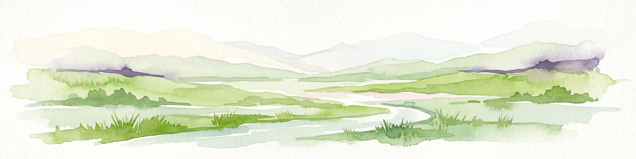
A watercolor painting showing a wide, panoramic landscape of a gently curving path or stream, green forests, and soft rolling hills in the background, with wildflowers in the foreground.
Nature reserveNordrhein-Westfalen
About 10 km away#2 closest

South

Schönebecker Schlucht: Protected Stream Valleys and Geographic Map in Nordrhein-Westfalen

A rare urban nature reserve with diverse floodplain ecosystems.

Schönebecker Schlucht sits as a compact, protected landscape within the Ruhr region. The area features converging stream valleys and near-natural alder woodland that contrast with the surrounding urban geography. Examine the mapping of these steep-sided ravines, the riparian corridors, and the ecological significance of this protected habitat fragment in the state of Nordrhein-Westfalen.

Area
0.093 km²
Established
1989
IUCN
IV
Relief
Lowland
Nature reserveNorth Rhine-Westphalia
12 km away#3 closest

Northwest

Unterer Niederrhein Nature Reserve: Geographic Atlas and Floodplain Landscape Mapping

Riverine wetland ecosystems in North Rhine-Westphalia

Uncover the protected landscape of Unterer Niederrhein, an expansive bird protection area along the German Lower Rhine. The region features a mosaic of sand banks, oxbow lakes, and seasonally flooded grasslands, creating a highly interconnected riverine ecosystem that spans across the districts of Kleve and Wesel.

Area
258.094 km²
Established
1983
Relief
Lowland
Climate
Temperate
Nature reserveNorth Rhine-Westphalia
15 km away#4 closest

Northwest

Kaninchenberge Nature Reserve: Inland Dunes and Heathland Geography in North Rhine-Westphalia

Mapped protected landscapes of the Lower Rhine

Kaninchenberge preserves a rare inland dune system and surviving heathland within the North Rhine-Westphalia region. This protected area features a layered mosaic of pine-mixed forests and nutrient-poor grasslands, serving as a critical habitat fragment integrated into the European Natura 2000 network. Gain deeper insight into the geomorphology and protected ecosystem boundaries of this unique German site.

Area
1.06 km²
Established
1989
IUCN
IV
Relief
Lowland
Nature reserveNorth Rhine-Westphalia
16 km away#5 closest

North

Lichtenhagen Nature Reserve: Protected Lowland Landscapes and Habitat Geography in Wesel

A critical habitat mosaic for regional reptile and amphibian populations.

Lichtenhagen constitutes a distinct protected site within the Lower Rhine region, showcasing a unique ecological transition between heathland, still-water basins, and oak-dominated woodland. This former industrial site provides a protected refuge for the common European adder, smooth snake, and grass snake, representing a crucial case study in landscape restoration and regional conservation within North Rhine-Westphalia.

Area
1.1 km²
Established
1981
IUCN
IV
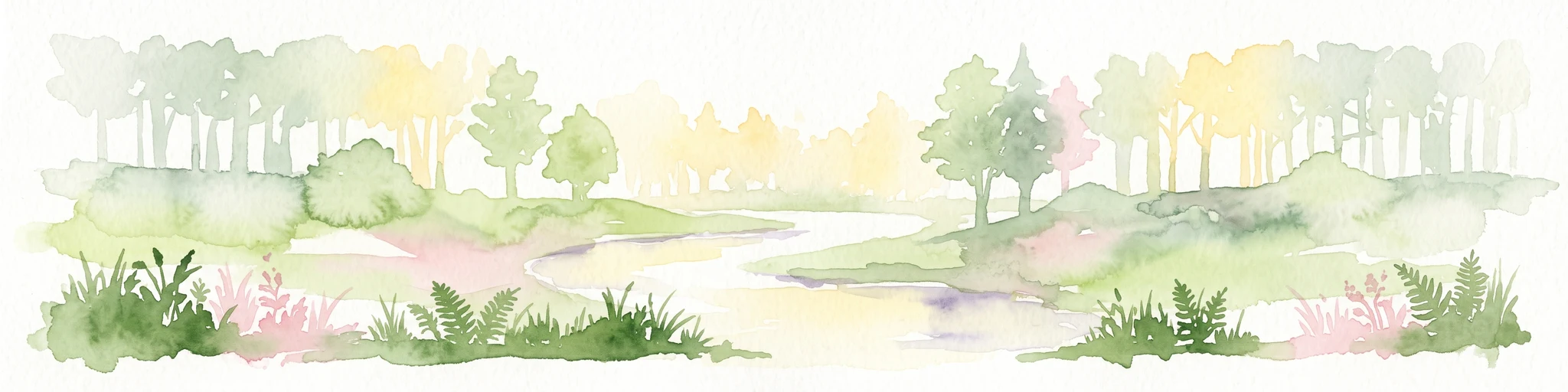
A watercolor painting showing a soft green rolling landscape, a winding stream in the foreground, and distant hills under a white background.
Protected landscapeGermany
About 17 km away#6 closest

North

Naturpark Hohe Mark: Protected Landscape and Regional Geography Overview

Mapped terrain in North Rhine-Westphalia, Germany.

Gain insight into the complex topography of Naturpark Hohe Mark, an expansive protected area characterized by its transition from sandy upland forests to wetland-rich river valleys. This detailed overview covers the essential landscape features, regional boundaries, and ecological diversity that distinguish the park as a key geographical entity in Germany.

Area
1,978 km²
Established
1963
Relief
Mixed relief
Climate
Temperate
A soft watercolor painting of a serene river winding through a lush green valley with trees and ferns on the banks.
Nature reserveNordrhein-Westfalen
About 21 km away#7 closest

South

Naturschutzgebiet Oefter Tal: Protected Stream Valley and Forest Geography

Nature reserve in Nordrhein-Westfalen, Germany

The Naturschutzgebiet Oefter Tal protects a unique intersection of running water, spring-fed tributaries, and deciduous woodland. This site in the southern Essen district offers a detailed look at the brook systems and valley forests that define the lower Ruhr region, providing an essential refuge for native habitat connectivity.

Area
0.312 km²
Established
1992
IUCN
IV
Relief
Upland
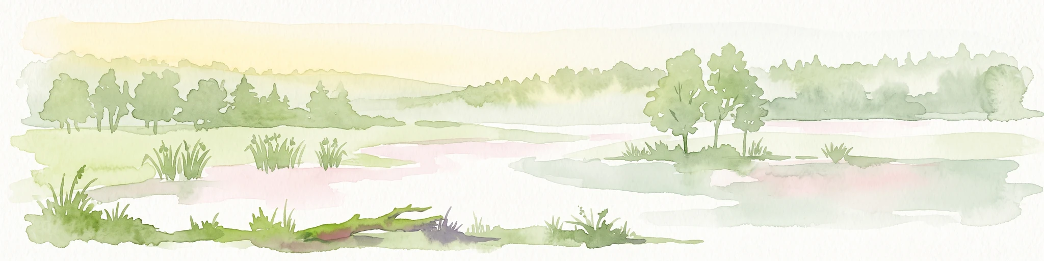
A horizontal watercolor illustration of a calm stream flowing through a wetland with green trees and grasses along the banks.
Nature reserveNordrhein-Westfalen
About 23 km away#8 closest

South

Hummelsbach Nature Reserve: Mapped Protected Brook and Floodplain Landscape in Nordrhein-Westfalen

Protected sandy stream and alder woodland mosaic

Located in the Mettmann district of Nordrhein-Westfalen, Hummelsbach preserves a near-natural sandy brook and alder floodplain forest. This reserve functions as an essential ecological bridge between rolling hill forests and lowland floodplains, providing a concentrated look at specialized habitats within a mosaic of meadows and wet woodland.

Area
0.13 km²
Established
1984
IUCN
IV

Common questions about visiting, size, designation, and location context for Köllnischer Wald

Köllnischer Wald FAQs for park facts, access, geography, and protected area context

Find quick answers about Köllnischer Wald, including protected-area facts, park geography, trail and visitor context, and how the park fits into its surrounding country and regional landscape.
MoriAtlas Explorer

Continue Your Protected Areas Search Across the Global Atlas

Deepen your exploration by continuing the structured search for national parks and protected areas worldwide. Utilize the comprehensive filtering capabilities to compare different conservation landscapes and refine your understanding of global park geography. Discover more about the distribution and characteristics of protected natural areas.

Global natural geography