
Why Kremmener Luch stands out
Kremmener Luch is best known as a lowland fen landscape, or Luch, in the glacial Eberswalder Urstromtal. Its characteristic appeal lies in the combination of historically waterlogged, peat-forming terrain with relict wetland habitats, the Kremmener See at its center, and seasonal appearances of large flocks of common cranes migrating overhead at dusk. The area also stands out for the long history of human attempts to drain and cultivate it. Drainage began more than 300 years ago, and today only a portion retains its original wetland character, with the rest transformed into farmland. This interplay of former fen, surviving wet meadow, open water, and canal-edge habitat defines the reserve's ecological profile and distinguishes it from the more strictly forested protected areas elsewhere in the Oberhavel district.
Kremmener Luch history and protected-area timeline
Kremmener Luch's long human history is fundamentally a story of water engineering. The wet, peat-forming basin of the Rhinluch was originally sustained by seepage from the surrounding uplands, particularly the Ländchen Glien to the south, and by the slow movement of the Rhin, whose gradient was so shallow in this stretch that it could not effectively drain the plain. The resulting stagnation and, over centuries, accumulation of peat gave the area its classic Luch character.
Efforts to reclaim the wetland for agriculture began more than 300 years ago. Successive drainage measures gradually lowered the water table across most of the surface, and today the majority of the marsh has been converted to farmland, losing much of its original landscape character. Of the surviving seminatural wetland, the Kremmener See, embedded in the Luch, received individual protection as early as 1924, establishing an important precedent for conservation in the region.
A second major intervention came through the construction and use of the Ruppiner Kanal. By channeling a portion of Rhin water eastward toward the Havel and the Berlin metropolitan area, the canal partially reversed the original flow pattern within the marsh and integrated the Luch into Brandenburg's broader water-supply system. Administrative changes reinforced this layered history. The municipal incorporation of the neighboring communities of Flatow, Beetz, and Sommerfeld into the town of Kremmen gradually expanded the area attributed to the Kremmener Luch, eventually reaching northward to the Rüthnicker Heide forest.
In 2009, on 22 September, the modern nature reserve was formally established by decree under the designation number 1083, codifying 1186 hectares of fen, meadow, and open water under Germany's strictest conservation regime, the Naturschutzgebiet status, and reaffirming the area's protected status for the long term.
Kremmener Luch landscape and geographic character
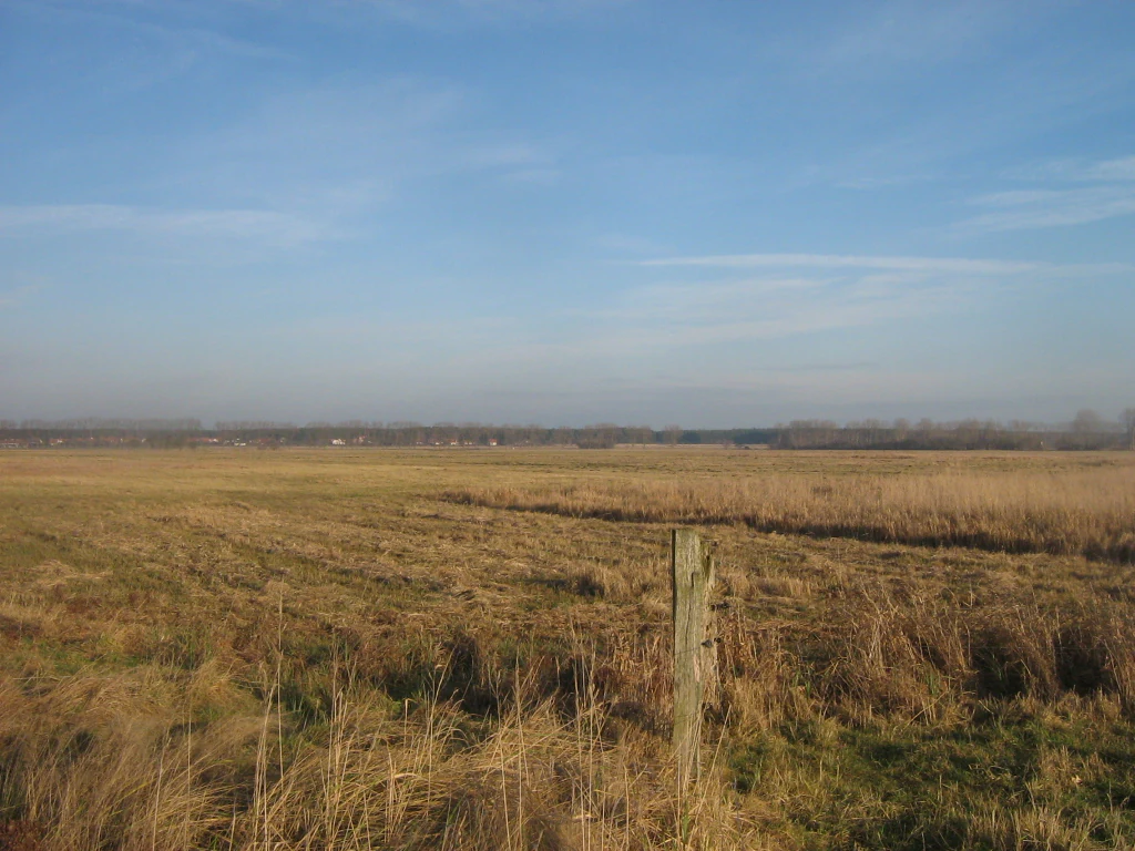
The landscape of Kremmener Luch is defined by its flatness. The reserve lies entirely within the Eberswalder Urstromtal, a wide, sand-rich glacial valley shaped during the last ice age, and forms part of the much larger Rhinluch lowland fen complex in Brandenburg. To the south the terrain rises abruptly toward the Ländchen Glien, a sandy upland that bounds the wetland almost like a low cliff and provides the seepage water that historically fed the bog.
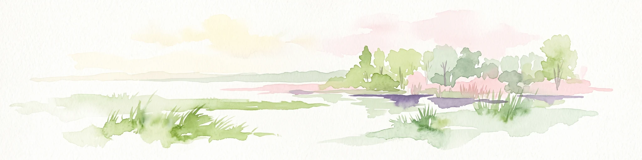
Within this shallow basin the ground is almost level. Wet meadows, relict peat areas, ditches, and the slow-moving Kremmener Rhin canal and Ruppiner Kanal define the surface drainage. The Kremmener See sits embedded in the middle of the marsh as the single most prominent open-water feature.
Human infrastructure, rather than dramatic relief, shapes the visual rhythm of the landscape. The Kremmer Damm road, the only road heading north out of Kremmen, runs through the Luch as a raised causeway, while the Kremmen-Neuruppin railway traces a parallel line across the marsh. Together these linear features divide the former fen into manageable strips of farmland, wet meadow, and residual wetland.
Kremmener Luch ecosystems, habitats, and plant life
Ecologically, Kremmener Luch is a transitional lowland fen landscape, originally a Niedermoor where persistent groundwater stagnation allowed peat to accumulate in the flat glacial valley of the Eberswalder Urstromtal. Although centuries of drainage have converted most of the surface to agricultural land, the reserve still preserves a coherent mosaic of fen, wet grassland, ditch networks, and open water, with the Kremmener See as its ecological core.
The mosaic of habitats supports a community of plants and animals adapted to alternating wet and dry conditions. Open water, reed margins, ditches, and seasonally inundated meadows create a graduated hydrological gradient that, despite the land's heavily modified history, retains some of the structural diversity of the original Luch.
The reserve sits within the broader Rhinluch wetland complex, meaning its habitats are functionally linked to neighboring areas such as the Oberes Rhinluch and the protected areas along the Havel lowlands. This connectivity matters ecologically, because lowland fens of this type depend on landscape-scale hydrology rather than on isolated patches, and because species such as common cranes, which stage here each year, range across the entire Rhinluch during their seasonal movements.
Kremmener Luch wildlife and species highlights
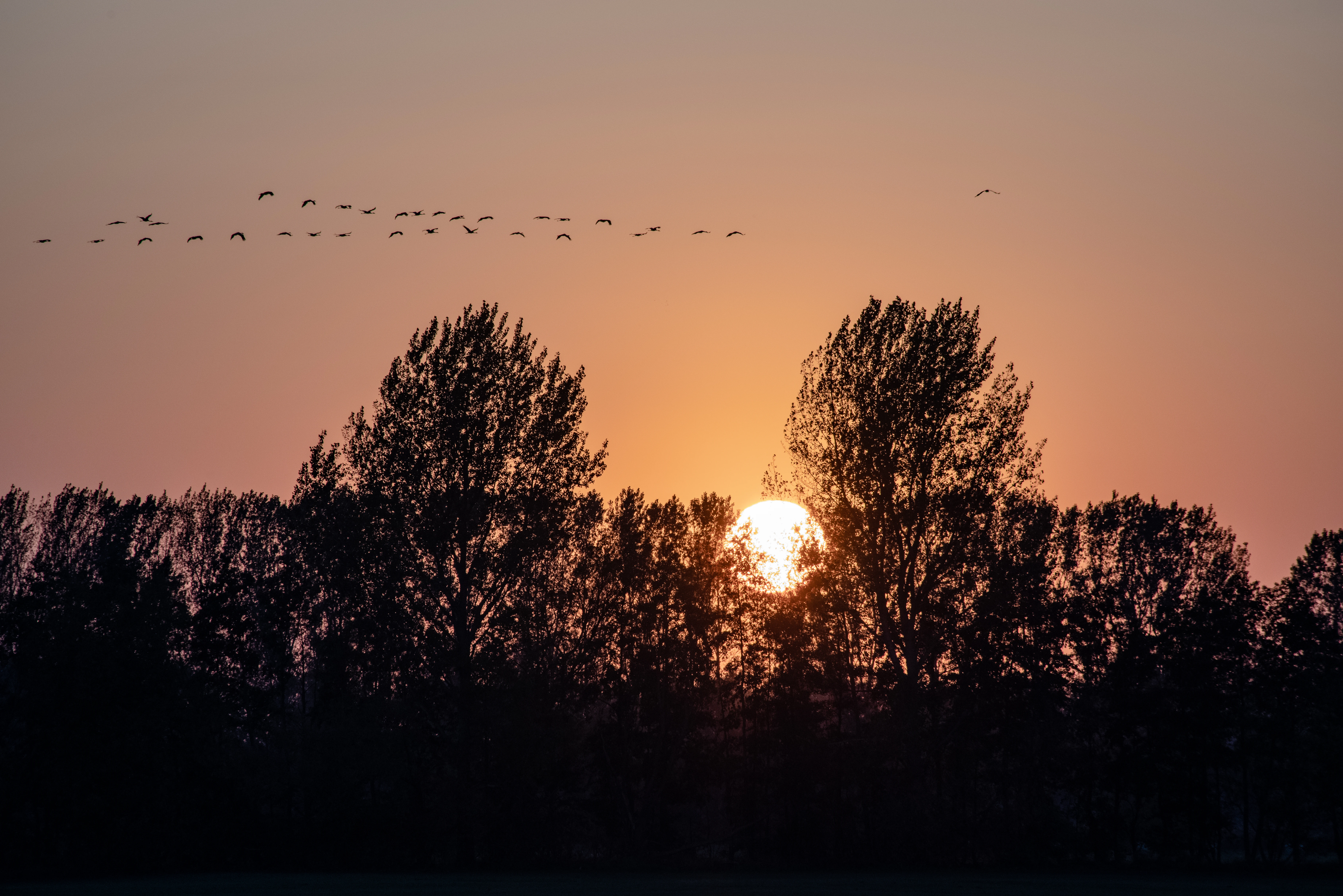
Kremmener Luch is most closely associated in the public imagination with the common crane, which appears in large migratory flocks over the marsh in the evenings during the migration seasons and is among the reserve's most conspicuous seasonal sights. The combination of open wet meadows, roosting water bodies, and the surrounding agricultural plain makes the area particularly attractive to these large, gregarious birds.
Beyond the cranes, the reserve's mosaic of canal-side wetland, fen margins, and the protected Kremmener See provides habitat for two of Europe's most characteristic semiaquatic mammals: the beaver, which maintains working lodges and dams along the slow-moving watercourses, and the Eurasian otter, which patrols ditches, canals, and the lake shoreline. Their continued presence in a landscape heavily shaped by drainage and agriculture is often cited as evidence that even a partially reclaimed Luch can sustain viable populations of these demanding species.
The wider mix of meadow, ditch, and open water also supports a varied but generally less conspicuous fauna of waterbirds, amphibians, and invertebrates typical of Brandenburg lowland fens, contributing to the reserve's overall ecological character even where individual species are not highlighted specifically.
Kremmener Luch conservation status and protection priorities
Kremmener Luch's conservation importance lies in its status as a formally protected Naturschutzgebiet under Brandenburg law, the state's highest category of nature protection, declared by decree on 22 September 2009 and registered under designation number 1083. The reserve sustains a relict, partly functional Niedermoor landscape within the much larger Eberswalder Urstromtal, a wetland type that has been heavily reduced across Germany and central Europe.
The emphasis within protected area management is on maintaining and, where possible, restoring the hydrological and habitat conditions necessary for fen species to persist. Surviving seminatural fen, the ditches, and the long-protected Kremmener See provide the core refugia, while the surrounding agricultural matrix continues to play a role in supporting species such as cranes that exploit both open water and cropland.
Recognition of the site extends beyond Germany. Kremmener Luch is listed in the World Database on Protected Areas under entry 164249, marking its standing within the international network of documented protected areas and underlining its role as a small but formally registered component of Brandenburg's conservation estate.
Kremmener Luch cultural meaning and human context
Culturally, Kremmener Luch is bound up with the rural identity of the town of Kremmen and with a long tradition of fen reclamation in Brandenburg. The very name Luch is a regional term for a wet, peaty lowland that has shaped both the local economy and the way residents and visitors have long understood the surrounding countryside.
Drainage efforts in the marsh began more than three centuries ago and shaped not only the ecology but the livelihood of the area, turning what was once a forbidding wetland into productive farmland. The Kremmer Damm, the historic road north out of Kremmen running through the marsh, is a tangible reminder of how transport, settlement, and water engineering have long been intertwined in the Rhinluch.
More recently, the administrative merging of Flatow, Beetz, and Sommerfeld into Kremmen changed the cultural geography of the reserve itself. Areas once thought of as Flatower Luch, Sommerfelder Luch, or Schleuener Luch are increasingly identified with Kremmener Luch, reflecting how territorial reorganization has reshaped both the practice and the perception of where the protected area begins and ends.
Top sights and standout views in Kremmener Luch
Among the reserve's most distinctive features are the seasonally visible crane migrations, when large flocks pass over the marsh at dusk; the Kremmener See, protected in its own right since 1924 and anchoring the reserve's wildlife value; and a clearly legible glacial-valley setting within the Eberswalder Urstromtal, with the Ländchen Glien upland as a southern boundary.
Equally notable is the area's layered relationship with water: a flat, naturally waterlogged lowland fen that has, over more than three centuries, been progressively drained, cultivated, and integrated into the regional water network via the Ruppiner Kanal. Together, these features make Kremmener Luch a compact but characteristic example of Brandenburg's modified lowland fen landscapes.
Best time to visit Kremmener Luch
For visitors interested in experiencing the wetland character of Kremmener Luch, the cooler months of autumn and early spring are particularly rewarding, when large flocks of common cranes stage in the marsh and are often visible at dusk against the open northern horizon. These seasons also typically bring higher water levels in ditches and meadows, reviving at least a suggestion of the area's original fen atmosphere.
Late spring, around May, offers a different appeal, with fresh green vegetation along the canal edges, active waterbird and amphibian movement around the Kremmener See, and longer daylight hours for observing wildlife along the Kremmer Damm and adjacent paths. Summer tends to be drier and warmer, with much of the former fen under cultivation and fewer dramatic bird movements, though the open-water and canal habitats remain attractive in their own right.