
Mori Atlas logo
Protected areaLac Higa

Explore the geographic boundaries, hydrology, and semi-arid ecosystem of this Sahelian freshwater habitat.

Lac Higa Protected Area: Mapping the Wetland Landscapes of Northern Burkina Faso

Lac Higa stands as a vital permanent wetland in the Sahel Region of Burkina Faso, offering an essential refuge within a semi-arid landscape. This protected area centers on a freshwater lake situated along the Yali River, encompassing a dense matrix of shrub savanna and marshy habitats that support diverse bird and fish populations. By mapping the interaction between ephemeral river channels and the lake basin, this resource provides a clear view of how this water-scarce environment functions as an ecological nexus.

Sahelian wetlandRamsar sitenatural lakefreshwater habitatbirdwatchingmigratory birds
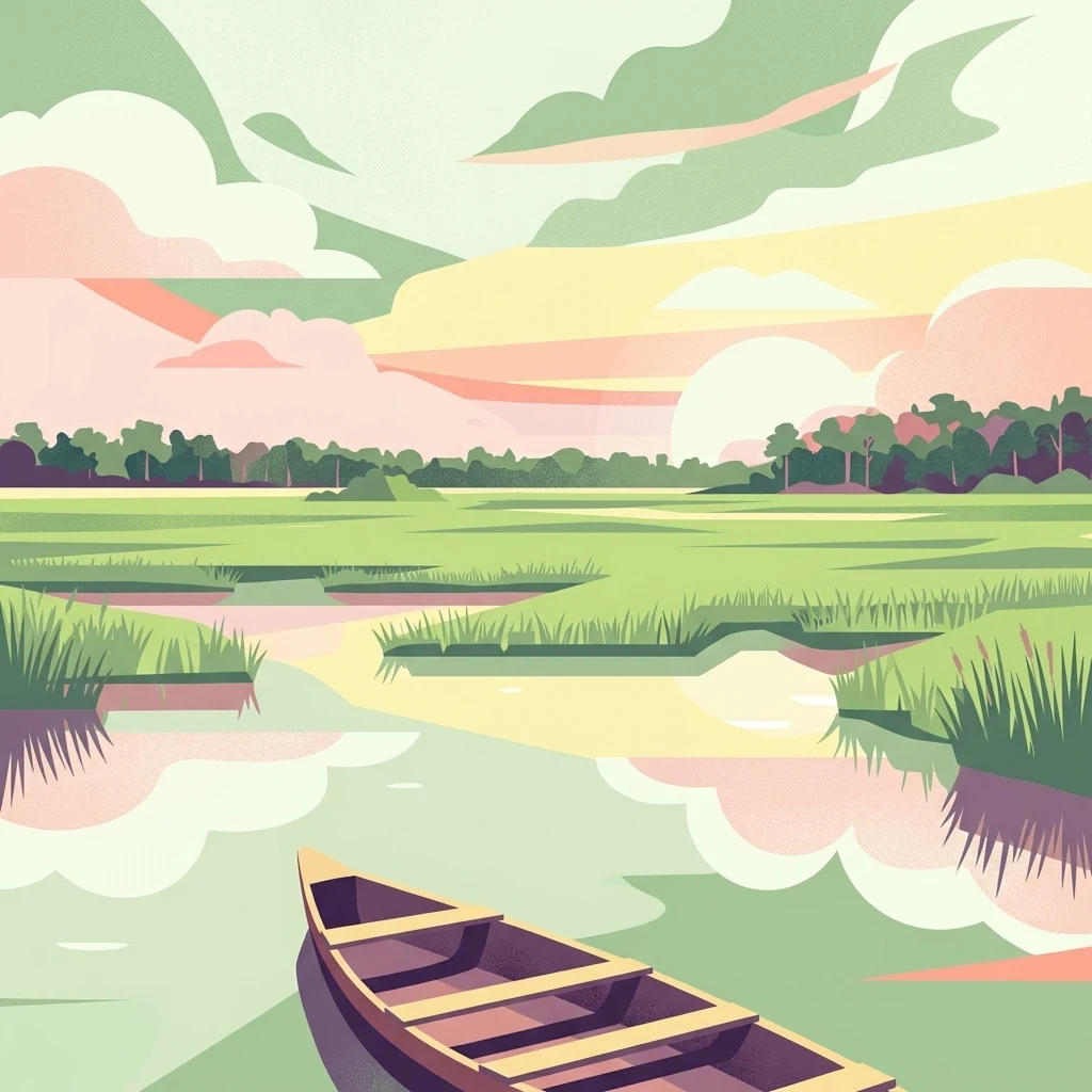
A minimalist, flat-style digital illustration of a boat floating on a calm wetland at sunset, with soft green grasses, a distant tree line, and pastel clouds reflecting on the water.

Lac Higa

Protected area

Park overview

Structured park overview, official facts, and landscape profile for Lac Higa

Lac Higa park facts, protected area profile, and essential visitor context

Review the core facts for Lac Higa, including designation, size, terrain, visitor scale, habitats, and operating context in one park-focused overview.

About Lac Higa

Lac Higa occupies a distinctive ecological niche in the northeastern corner of Burkina Faso, just a short distance from the border with Niger. Although it is commonly described as a lake, it is more accurately a natural depression that fills to form a permanent pond within a much broader wetland complex. The surrounding territory is classic Sahelian country, defined by sparse tree and shrub cover, sandy soils, long dry seasons, and a brief but intense rainy period.

The wetland derives its hydrology from the Yali River, itself part of the wider system of right-bank tributaries that drain northward into the Niger River. In a region where annual rainfall rarely exceeds 600 mm, the concentration of surface water at Lac Higa creates a striking environmental contrast: a green, biologically active node set inside an otherwise dry and heavily used pastoral landscape. The pond itself spans roughly 300 hectares at its core, but the Ramsar designation extends protection across 1,514 hectares, reflecting the broader ecological value of the surrounding floodplain and savanna.

Human activity is closely intertwined with the site. Local communities rely on Lac Higa for agriculture, livestock watering, and artisanal fishing, making the wetland both a biodiversity refuge and a keystone of regional livelihoods. This combination of ecological richness and socioeconomic importance underlines why Lac Higa was inscribed on the Ramsar list in 2009, and why it continues to attract attention from conservation organizations working in the Sahel.

Quick facts and research context for Lac Higa

Lac Higa is located in the Sahel region of Burkina Faso, in the province of Yagha, near the Niger border. The wetland is part of the Niger River basin, fed through right-bank tributaries draining into the Yali River. It was listed as Ramsar Site number 1883 on 10 July 2009 with an official area of 1,514 hectares. The lake itself forms a natural pond of roughly 300 hectares within a wider designated zone, sitting at elevations between 257 and 266 meters above sea level. Vegetation is dominated by Sahelian shrub savanna, and the area is known to host both resident savanna birds and Palearctic migrants, along with a documented freshwater fish community.

Protection and recognition

Documented terrestrial protection scope, designation year, and recognized Ramsar history

Lac Higa Protection Status and International Ramsar Recognition Data

Terrestrial protection status for Lac Higa includes official designation records established in 2009 along with documented international Ramsar sources. Structured conservation data outlines the established management scope and verified international recognition history for the protected area.

International recognition

Protection details

Protection scope
Terrestrial
Designated year
2009
Transboundary protection
No
Park context

Deeper park guide and search-rich context for Lac Higa

Lac Higa history, landscape, wildlife, and travel context

Explore Lac Higa through its history, landscape character, ecosystems, wildlife, conservation priorities, cultural context, and seasonal travel timing in a structured park guide built for atlas discovery and search intent.

Why Lac Higa stands out

Lac Higa is best known as a Sahelian wetland of international importance, where seasonal and permanent surface water supports a regionally uncommon ecosystem. The site stands out for its concentration of Sahelian shrub savanna interspersed with open water, creating habitat for migratory European and resident African bird species. It is also recognized for sustaining a diverse fish community in an otherwise water-scarce environment, and for serving as a focal point for agropastoral and fishing activities in the northern Burkina Faso landscape.
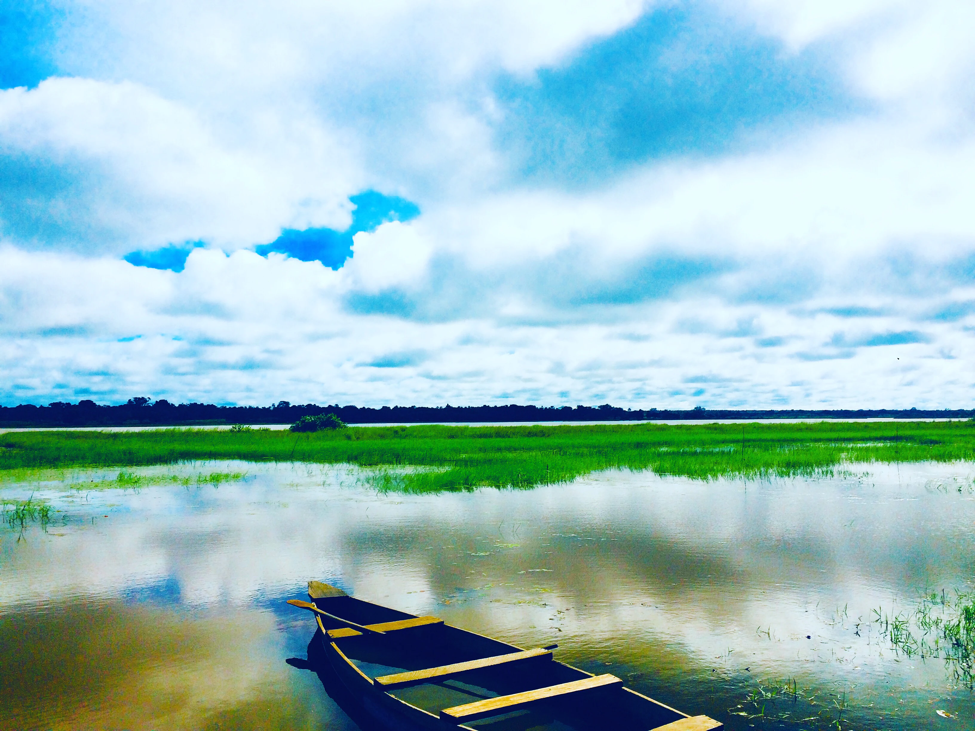
A small wooden fishing boat sits on the calm, reflective water of a wetland, with green marsh grasses in the midground and a line of trees against a cloudy blue sky in the background.
A small wooden boat anchored on the waters of Lac Higa, surrounded by lush wetland vegetation.

Lac Higa history and protected-area timeline

Lac Higa's modern conservation history centers on its inscription as a Ramsar Wetland of International Importance on 10 July 2009, registered as Ramsar Site number 1883. The designation recognized the site's ecological significance at a regional scale and committed Burkina Faso to the conservation and wise use of the wetland under the international framework of the Ramsar Convention.

Following designation, scientific surveys strengthened the available knowledge base for the site. A bird inventory carried out between March 2012 and March 2014 documented 98 savanna bird species, including 17 migratory species of European origin, while parallel ichthyological work recorded 27 freshwater fish species from 11 families. This period of study helped cement Lac Higa's reputation as a hub of Sahelian biodiversity and informed subsequent awareness of the pressures facing the site, including overgrazing, sand encroachment linked to agropastoral activities, and harvesting of woody and aquatic resources.

Lac Higa landscape and geographic character

The landscape around Lac Higa is quintessentially Sahelian: flat to gently undulating terrain, sandy substrates, and a vegetation cover dominated by scattered shrubs and small trees adapted to prolonged droughts. Within this largely dry setting, the lake and its fringing wetlands create an elongated zone of open water, marshy margins, and more humid microhabitats.

The pond itself stretches roughly 4,300 meters in length and about 700 meters in width, oriented along the course of the Yali River. Elevations across the site sit between 257 and 266 meters above sea level, typical of the low-relief Sahel plains. Outside the immediate wetland, the vegetation transitions gradually into shrubby Sahelian savanna, while seasonal drainage features connect the lake to the broader Niger basin through a network of ephemeral channels.

Lac Higa ecosystems, habitats, and plant life

Ecologically, Lac Higa represents a convergence of aquatic and terrestrial Sahelian environments. The open water and its fringing marshes provide habitat for waterbirds, while the surrounding shrub savanna supports a distinctive dryland plant community shaped by long dry seasons and grazing pressure. The diversity of habitats within a relatively compact area gives the site a richness that is unusual for the region.

The plant communities of the area reflect classic Sahelian botanical composition, with woody species adapted to arid conditions and seasonal flooding. The mosaic of dryland shrubs, seasonally inundated margins, and permanent open water allows different ecological groups to coexist, from drought-tolerant trees to hydrophytic vegetation along the lake edges. This habitat diversity underlies the site's importance for both resident fauna and seasonal visitors, and supports the continued ecological functioning of the wetland under Sahelian climatic conditions.

Lac Higa wildlife and species highlights

Lac Higa's wildlife profile is anchored by its birdlife. Surveys conducted from March 2012 to March 2014 recorded 98 species of savanna-associated birds, including 17 migratory species that travel from Europe to spend part of the year in the Sahel. The combination of resident and migratory species makes the site a valuable component of regional bird conservation strategies, particularly in a country where suitable wetland habitat is limited.

The aquatic fauna is similarly significant. Twenty-seven freshwater fish species belonging to 11 families have been reported from the lake, including commonly cited species such as Tilapia zillii, Clarias anguillaris, and Oreochromis niloticus. These fish stocks sustain local fisheries and illustrate how the wetland supports not just conservation values but also tangible natural resources on which surrounding communities depend.

Lac Higa conservation status and protection priorities

Lac Higa's conservation value lies in its recognition as a regionally rare ecosystem within the Sahelian belt, where permanent freshwater habitats are scarce and ecologically precious. Its inscription on the Ramsar list places it within an international framework for wetland protection, underpinned by commitments to maintain the site's ecological character and promote the wise use of its resources.

The conservation challenge at Lac Higa mirrors broader pressures across the Sahel. Overgrazing by livestock, sand encroachment linked to agropastoral activities, and exploitation of biological resources, including wood harvesting, hunting, and fishing pressure, all bear on the site's resilience. Maintaining the balance between sustaining local livelihoods and protecting the wetland's ecological functions is central to the ongoing management of the site as a Ramsar wetland.

Lac Higa cultural meaning and human context

Beyond its ecological role, Lac Higa is woven into the daily life and economy of surrounding communities in the Yagha province. Agriculture, livestock raising, and artisanal fishing around the lake form the backbone of local livelihoods, and the wetland serves as a gathering point for agropastoral activities in a region where water is a limiting factor.

The nearby urban centers of Sebba, the capital of Yagha province, and Dori, the capital of the Sahel region, anchor the broader cultural and administrative landscape of the area. Lac Higa's significance is therefore both natural and socioeconomic, functioning simultaneously as a wildlife refuge and as a resource that sustains rural Sahelian life.

Top sights and standout views in Lac Higa

Lac Higa offers a rare combination of permanent freshwater habitat, Sahelian shrub savanna, and Ramsar-level international recognition within a region where surface water is scarce. The site supports both resident African birdlife and European migrants, alongside a documented fish fauna of 27 species. Its Ramsar designation spans 1,514 hectares, encompassing the lake and its surrounding floodplain, while the lake itself forms a roughly 300-hectare pond along the Yali River.

The wetland's importance is amplified by its role as a livelihood hub for local communities engaged in agriculture, livestock, and fishing, making it a clear illustration of how biodiversity protection and human use can converge in a fragile Sahelian context.

Best time to visit Lac Higa

The character of a visit to Lac Higa is shaped strongly by the Sahelian climate. The site's brief rainy season brings the most active ecological phase, when water levels rise, vegetation greens up, and migratory bird presence is at its peak. Outside the rains, the landscape dries rapidly, water levels contract, and visibility of wildlife, particularly birds, may shift toward dry-season congregations around remaining water.

For general ecological interest, the cooler and greener post-rainy season tends to be the most rewarding window, while the dry season offers a more austere but still ecologically active setting. Visitors should be prepared for hot conditions, limited infrastructure, and the practical realities of travel in northeastern Burkina Faso.

Monthly climate preview

Long-term representative point measurements tracking monthly temperature and precipitation cycles

Lac Higa Climate Normals: Measured Annual Temperature and Precipitation Rhythm

Historical climatology data reveals the measured annual temperature and precipitation rhythm across representative coordinates within Lac Higa. Examining the complete twelve-month climate profile provides detailed long-term averages for monthly temperature ranges and precipitation patterns.
Annual mean29 °C
23 °C34 °C
Jan23°
Feb26°
Mar30°
Apr34°
May34°
Jun32°
Jul29°
Aug27°
Sep27°
Oct29°
Nov27°
Dec24°
Warmest month
May

34.1 °C

Coolest month
January

23.4 °C

Wettest month
August

6.4 mm/day

Driest month
November

0 mm/day

Park location guide

Geography guide, regional context, and park location map for Lac Higa

Lac Higa park geography, regions, and map view in Burkina Faso

Understand where Lac Higa sits in Burkina Faso through a broader geographic reading of the surrounding landscape, nearby location context, and its mapped position within the national park landscape.

How Lac Higa fits into Burkina Faso

Burkina Faso is a landlocked West African nation. The Mossi people settled the area in the 11th and 13th centuries, establishing kingdoms such as Ouagadougou, Tenkodogo, and Yatenga. The French colonized the region in 1896 as part of French West Africa, and the country gained independence in 1960 as the Republic of Upper Volta before being renamed Burkina Faso in 1984 by President Thomas Sankara.

Wider geography shaping Lac Higa in Burkina Faso

Burkina Faso is a landlocked country in West Africa, bordered by Mali to the northwest, Niger to the northeast, Benin to the southeast, Togo and Ghana to the south, and Ivory Coast to the southwest. The terrain consists primarily of a peneplain with some laterite plateaus in the southeast. The country has several major rivers including the Mouhoun, Nakambe, and Comoé, though most are seasonal.

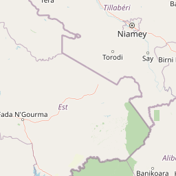
Map view of Lac Higa

Use this park location map to pinpoint Lac Higa in Burkina Faso, understand its exact geographic position, and read its mapped placement within the surrounding landscape more clearly.

Pigeon | © OpenStreetMap contributors

Location context for Lac Higa

Sahel Region

Visual reference collection highlighting wetland habitats and shrub savanna terrain

Lac Higa Photos and Protected Landscape Scenery in the Sahel Region

Visual records capture the striking contrast of permanent open water set against dry Sahelian shrub savanna in northern Burkina Faso. Examining these field photographs reveals the distinctive terrain, wetland margins, and protected ecosystems defining the Yali River basin.

A small wooden fishing boat sits on the calm, reflective water of a wetland, with green marsh grasses in the midground and a line of trees against a cloudy blue sky in the background.

Park atlas

Compare regional wetlands, shrub savannas, and connected wildlife habitats across the Sahel.

Other Parks Near Lac Higa and Surrounding Protected Areas

Browsing other parks near Lac Higa reveals shared ecological traits across semi-arid river basins and seasonal wetlands. Expanding regional comparisons helps contextualize local conservation landscapes within broader West African river systems.
Protected areaTillaberi Region
About 67 km away#1 closest

North

Kokorou-Namga Complex: Protected Sahelian Wetland Landscapes and Regional Geography

Intermittent lakes and dune corridors in the Tillaberi Region

Explore the ecological identity of the Kokorou-Namga Complex, a vast wetland system in Niger featuring a unique interplay between seasonal water bodies and parallel sandy dune formations. This protected area acts as a primary refuge for migratory waterbirds while showcasing rare forest-savanna mosaics thriving on iron-rich soils in an otherwise dry landscape.

Area
668.29 km²
Established
2001
Relief
Lowland
Climate
Arid
National parkNiger
171 km away#2 closest

Southeast

W National Park: Niger National Park, UNESCO World Heritage Site & Ramsar Wetland

Transborder savanna ecosystem and dramatic Niger River landscape.

W National Park in Niger offers a unique atlas view of a vast protected landscape defined by the Niger River's iconic W-shaped bend. As a UNESCO World Heritage Site and Ramsar Wetland, it protects crucial savanna plains, extensive floodplains, and rocky outcrops. This transborder conservation area is a vital habitat for West African wildlife, providing a rich context for geographic discovery and landscape exploration.

Area
10,000 km²
Established
1954
IUCN
II
Relief
Mixed relief
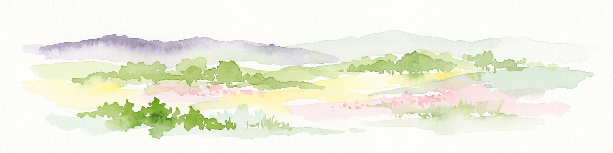
A soft, light watercolor painting of a valley landscape with rolling green hills, distant purplish mountains, and patches of pink, yellow, and green vegetation.
Wildlife reserveNiger
212 km away#3 closest

Southeast

Dallol Bosso Wildlife Reserve: Geographic Atlas and Protected Landscape Context in Niger

A 350-kilometer seasonal wetland corridor and regional hydrologic system

Dallol Bosso stands as a major seasonal drainage corridor in western Niger. This wildlife reserve spans from the Malian border to the Niger River, offering a distinct study in Sahelian hydrology. Its alluvial soils and wetland characteristics support specific agricultural patterns, making it a focal point for understanding the human and natural geography of the Boboye region.

Area
8,921.22 km²
Established
2004
Relief
Lowland
Climate
Subtropical
National parkTapoa Province
About 235 km away#4 closest

South

Arli National Park National Park: Mapped Protected Landscape in Tapoa Province

Explore its geographic context and boundaries.

Arli National Park stands as a critical protected area, identified as a national park within Tapoa Province. This detail page serves as an atlas-focused entry point to understanding the park's unique landscape characteristics and its precise geographic location. Users can investigate its mapped boundaries and explore how it fits into the regional geography, offering a foundational understanding for protected-area discovery.

Area
760 km²
Established
1954
IUCN
IV
Relief
Upland
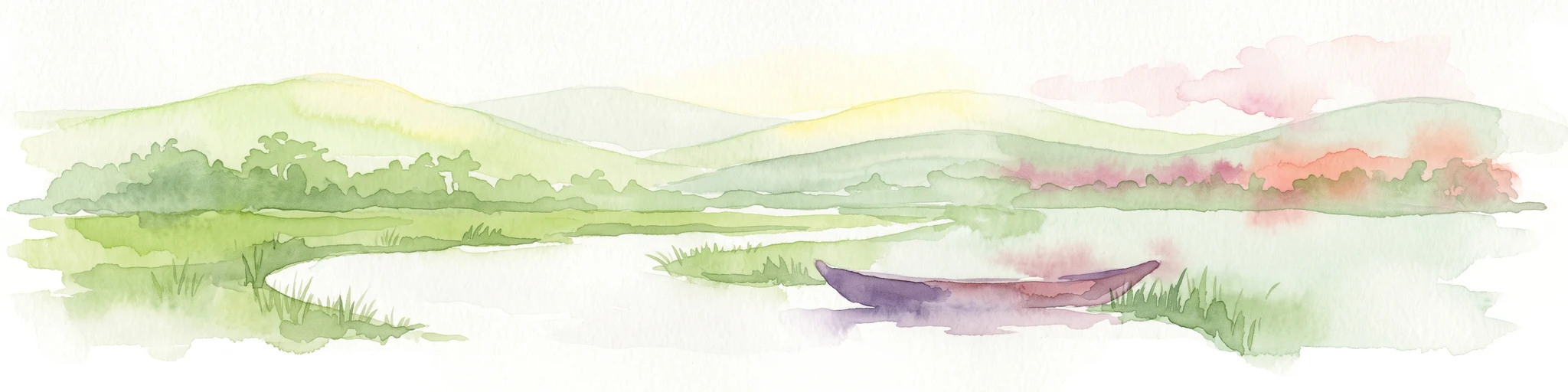
A watercolor painting showing a small boat floating on a calm body of water with gentle, rolling green hills in the background.
Protected areaBam Province
238 km away#5 closest

West

Lac Bam Protected Area: Regional Landscape Map and Geography of Bam Province

Ecological transition zone and natural freshwater reservoir

Lac Bam serves as a critical freshwater site and natural reservoir within the Sahelian-Sudanian transition zone of Burkina Faso. This protected area supports a mosaic of wooded savanna, wetland margins, and open water, defining the hydrology of the surrounding Bam Province. Analyze the landscape dynamics and broad catchment characteristics of this significant inland water system through our integrated geographic dataset.

Area
30 km²
Relief
Lowland
Scope
Terrestrial
Water
Water-dominated
National parkNiger
About 239 km away#6 closest

Southeast

W of the Niger National Park: National Park Protected Landscape and Geographic Atlas

Explore the mapped boundaries and regional geography of this protected area.

W of the Niger National Park is a designated national park offering detailed atlas-level context for its protected landscape. Users can investigate its mapped boundaries, understand its regional geographic setting, and gain insight into its unique natural terrain. This entry provides a focused view of the park's identity within the broader atlas for protected-area exploration.

Area
10,000 km²
Established
1954
Relief
Mixed relief
Climate
Tropical
National parkBenin
245 km away#7 closest

South

Pendjari National Park: Mapping Benin's Primary Protected Savanna Ecosystem and Wilderness

Located in northwestern Benin, bordering the WAP transboundary complex.

Pendjari National Park represents a significant conservation landscape in West Africa, featuring a complex geography of river-fed riparian forests, sprawling savanna plains, and the high-elevation cliffs of the Atakora mountain range. This protected area offers a look into an intact savanna wilderness, serving as a vital sanctuary for large mammals and diverse bird species within its clearly defined boundaries.

Area
2,755 km²
IUCN
II
Relief
Highland
Climate
Subtropical
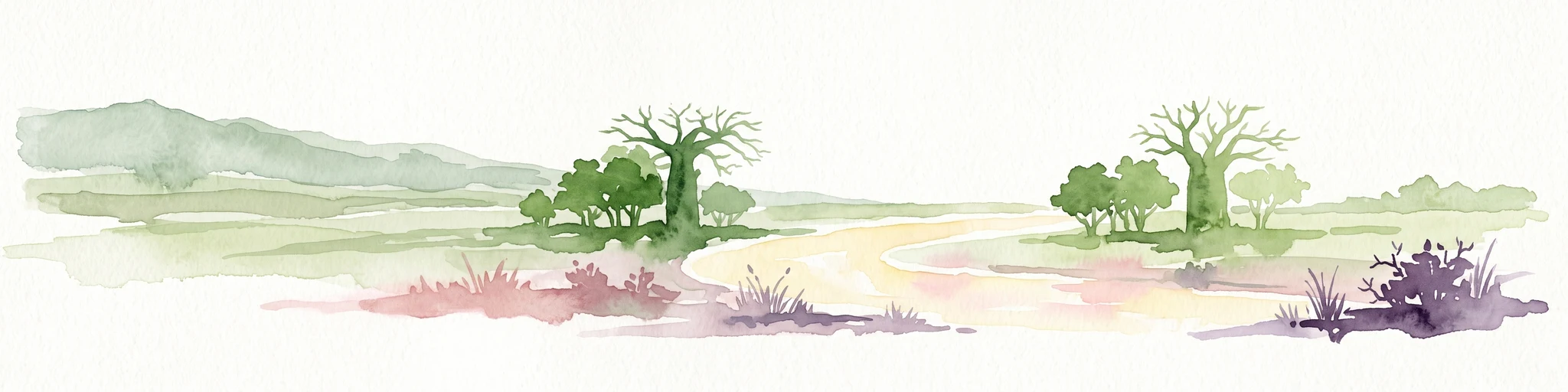
A watercolor painting showing a wide, panoramic landscape featuring dry, open terrain, low rolling hills in the background, and sparse vegetation, including distinctive baobab trees.
National parkAtacora Department
245 km away#8 closest

South

Parc national de la Pendjari: Geographic Atlas and Protected Area Overview in Atacora Department

Savanna plains and quartzite mountain ridges in West Africa

Parc national de la Pendjari represents an ecologically vital protected landscape in the Atacora Department of Benin. This atlas overview details its complex geography, ranging from the flat sandstone peneplain to the permanent waters of the Pendjari River. Learn how these boundaries support one of the most significant contiguous savanna ecosystems in West Africa, featuring diverse habitats from gallery forests to open woodlands.

Area
4,700 km²
Established
1961
IUCN
II
Visitors
7K annual

Common questions about visiting, size, designation, and location context for Lac Higa

Lac Higa FAQs for park facts, access, geography, and protected area context

Find quick answers about Lac Higa, including protected-area facts, park geography, trail and visitor context, and how the park fits into its surrounding country and regional landscape.
MoriAtlas Explorer

Continue Your Protected Areas Search Across the Global Atlas

Deepen your exploration by continuing the structured search for national parks and protected areas worldwide. Utilize the comprehensive filtering capabilities to compare different conservation landscapes and refine your understanding of global park geography. Discover more about the distribution and characteristics of protected natural areas.

Global natural geography