
Mori Atlas logo
Park earthquake history

A comprehensive catalogue of recorded seismic events mapped near the Sangre de Cristo high country

Historical Earthquake Records and Seismic Activity Associated with Latir Peak Wilderness

This collection presents a catalogue of recorded seismic activity geographically associated with Latir Peak Wilderness in northern New Mexico. Users can review individual event data including dates, magnitudes, and epicentre distances calculated from park boundaries. The records serve as a transparent reference for historical seismic occurrences in the immediate surroundings of this high-elevation alpine terrain.

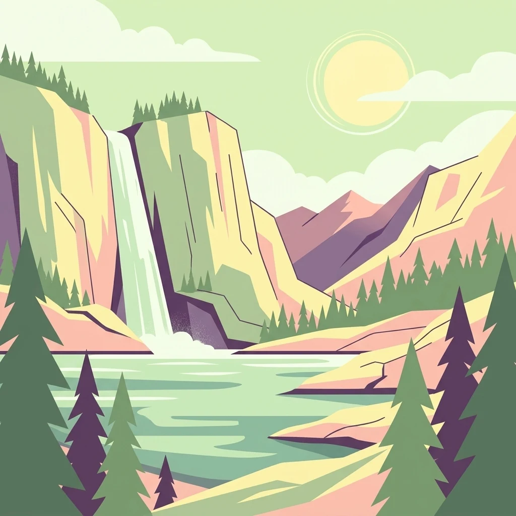
A digital illustration depicting a waterfall cascading from rocky cliffs into a lake, with evergreen trees in the foreground and a pale sun in a pastel sky.

A high-elevation Sangre de Cristo wilderness of alpine tundra, dense forest, and trout-filled creeks in northern New Mexico.

Latir Peak Wilderness

Latir Peak Wilderness is a 20,506-acre protected wilderness area located within the Carson National Forest in northern New Mexico. Designated in 1980, it sits in the northern Sangre de Cristo Mountains and contains some of the highest terrain in the range, anchored by Venado Peak, Latir Peak, Latir Mesa, and Virsylvia Peak, all of which top out above 12,500 feet. The wilderness is defined by a contrast between dense montane forest in its middle elevations and broad alpine tundra across Latir Mesa near its northern edge. Cold high-country lakes and snowmelt-fed creeks pattern the landscape, with the Lake Fork of Cabresto Creek serving as the central drainage that links Heart Lake in the high country to Cabresto Lake just outside the boundary. Latir Peak Wilderness matters as a compact example of a southern Rocky Mountain alpine ecosystem, supporting both a wildlife community typical of high Sangre de Cristo terrain and one of the region's notable native trout populations, the Rio Grande cutthroat trout, in its streams.

Location
United States of America
Park type
Wildlife reserve
Established
1980
Area
83 km²
Highest point
3,881 m
Latir Peak Wilderness Protected Area Map

Navigate Latir Peak Wilderness events by date and distance

Examine earthquake history around Latir Peak Wilderness

The Latir Peak Wilderness collection positions earthquake reports relative to the Sangre de Cristo mountain and alpine-tundra setting through epicentre geography and measured distance. Individual dates, magnitudes, depths, localities, separations, and source records support chronological review without attributing events to the peaks, assigning them inside the wilderness, or presenting a hazard forecast.

Sort by
Magnitude
Location

This page describes catalogued earthquakes associated with the park by epicentre location and distance. It does not establish causation, assess current danger, or predict future earthquakes.

No earthquake records match the current filters

Park atlas

Move beyond New Mexico's alpine tundra, forest, and mountain creeks

Other park profiles beyond Latir Peak Wilderness and its alpine setting

Latir Peak Wilderness concludes its earthquake catalogue high in the Sangre de Cristo Mountains, among tundra, dense forest, and trout streams. Further destinations stand on their own and do not signal shared peaks, federal wilderness status, geology, seismic history, proximity, hazard, or source completeness.
Watercolor painting of a serene mountain landscape featuring rolling hills, coniferous trees, and a lake in the foreground, rendered in light pastel tones.
Protected landscapeColorado
56 km away#1 closest

North

San Isabel National Forest: Geographic Overview and Protected Mountain Landscape Atlas

Central Colorado alpine terrain and designated wilderness areas

Spanning eleven counties in central Colorado, San Isabel National Forest serves as a cornerstone of the Southern Rocky Mountains. The forest landscape is dominated by the Sawatch and Sangre de Cristo ranges, offering a unique atlas of alpine tundra, dense coniferous forests, and high-altitude peaks that define the character of the region. This protected area provides a vital habitat and a vast, rugged environment characterized by volcanic formations like the Spanish Peaks and glacial geological features.

Area
4,533.42 km²
Established
1902
Relief
Mountain
Climate
Alpine
Watercolor painting of soft, layered mountain ranges behind green hills and patches of evergreen trees on a white background.
Protected landscapeColorado
57 km away#2 closest

Northwest

Rio Grande National Forest: Atlas and Geographic Profile of a Southern Colorado Landscape

Watershed geography and Continental Divide terrain analysis.

Rio Grande National Forest represents an immense protected landscape encompassing diverse terrain from high desert steppe to rugged alpine peaks. This profile details the forest's hydrological significance as the source of the Rio Grande and its role as a massive ecological transition zone in the Mountain West. Examine the boundaries and mountain geography that define this critical protected area.

Area
7,500 km²
Established
1908
Relief
Mountain
Climate
Boreal
Watercolor painting of a gentle, rolling landscape with a small stream, a small waterfall, and scattered trees under a soft, light sky.
Protected landscapeNew Mexico
75 km away#3 closest

Southwest

Santa Fe National Forest: Geographic Atlas and Protected Landscape Overview

New Mexico mountain geography and wilderness mapping

Santa Fe National Forest spans more than 1.5 million acres of Northern New Mexico, featuring a dramatic transition from canyon river systems to the high elevations of the Pecos Wilderness. This protected landscape contains a complex network of forest districts across the Jemez and Sangre de Cristo Mountains, defined by volcanic plateaus, alpine basins, and seasonal aspen forests. Use this resource to understand the park boundaries, regional mountain geography, and the interconnected nature of these protected lands.

Area
6,306.83 km²
Established
1915
Relief
Mountain
Access
Easy access
National parkColorado
About 99 km away#4 closest

North

Great Sand Dunes National Park and Preserve: Colorado's Unique Mapped Landscape

Explore the natural terrain and protected boundaries.

Great Sand Dunes National Park and Preserve offers a unique protected landscape within Colorado, characterized by its distinct natural terrain and extensive dune fields. This destination provides valuable context for atlas exploration, detailing the park's mapped boundaries and its specific geographic setting. Understand its significance as a protected area and appreciate the unique natural features that define its landscape for a richer geographic discovery.

Area
603.1 km²
Established
2004
IUCN
V
Visitors
432.5K annual
Protected landscapeColorado
104 km away#5 closest

Northwest

San Juan National Forest: Geographic Overview of a Major Southern Colorado Protected Landscape

Mapped terrain across the Southern San Juan Mountains

San Juan National Forest represents a massive protected landscape in western Colorado, defined by its rugged alpine peaks, dense conifer forests, and glacial valleys. This atlas entry details the forest boundary, its position along the Continental Divide, and the surrounding transition into the Colorado Plateau. It provides a structured look at the terrain that connects diverse ecosystems, from high-altitude tundra to expansive mesa country, within one of the largest national forests in the American West.

Area
7,603.42 km²
Established
1905
Relief
Mountain
Climate
Alpine
A horizontal watercolor illustration of a wide, open prairie landscape featuring soft green hills, sparse shrubs, and grasses against a pale background.
Protected landscapeNew Mexico
115 km away#6 closest

Southeast

Kiowa National Grassland: Protected Landscapes, Canyon Terrain, and Prairie Geography

Northeastern New Mexico shortgrass prairie and river canyon systems.

Kiowa National Grassland represents a distinctive protected landscape within the southwestern Great Plains, featuring a mix of rolling steppe, pinyon-juniper woodland, and the deep gorges of the Canadian River Canyon. This area offers significant insight into the regional geography of New Mexico, where historic Santa Fe Trail corridors and seasonal playa lakes define the local terrain and ecosystem.

Area
554.95 km²
Established
1960
Relief
Upland
Climate
Temperate
A pale, minimalist watercolor painting showing a horizontal landscape with a thin treeline in the midground and soft, blue-toned mountain peaks in the background against a white sky.
Wildlife reserveSandoval County
128 km away#7 closest

Southwest

Dome Wilderness: Volcanic Domes and Protected Forest Geography in Sandoval County

High-desert wilderness area in the Jemez Mountains

Dome Wilderness is a protected natural area in Sandoval County, New Mexico, defined by its exposed volcanic domes and dramatic post-fire recovery landscape. Sitting within the Santa Fe National Forest, the terrain preserves both natural geological features and significant prehistoric archaeological sites. Its unique visual character, shaped by the 1996 Dome Fire, contrasts open, fire-swept slopes with dense coniferous forest stands.

Area
21 km²
Established
1980
IUCN
Ib
Relief
Mountain
Protected landscapeSandoval County
About 147 km away#8 closest

Southwest

Jemez National Recreation Area: Geography and Protected Land Map Overview

Exploring volcanic plateaus and river canyons in northern New Mexico

Jemez National Recreation Area represents a key protected landscape in Sandoval County, encompassing diverse forested uplands and steep volcanic canyons. The area serves as a focal point for understanding the geological legacy of the Jemez Mountains, providing a clear window into how river incision and ancient volcanic activity have shaped the regional terrain. Its proximity to national forest lands and the Valles Caldera system makes it a vital unit for geographic study and mapped landscape exploration.

Area
233.3 km²
Established
1993
Visitors
1.6M annual
Relief
Mountain
MoriAtlas Explorer

Explore the Protected Geography and Mapped Terrain of Latir Peak Wilderness

Analyze the high-country topography and ecological zones of Latir Peak Wilderness. MoriAtlas provides a clear view of the park boundaries, drainage patterns, and alpine summit clusters that characterize this essential northern New Mexico protected landscape.