
Mori Atlas logo
Park earthquake history

A mapped catalogue of seismic events identified by their epicentre proximity to the wilderness.

Recorded Historical Seismic Activity and Earthquake Records for Linville Gorge Wilderness

Review this comprehensive catalogue of recorded seismic events associated by location with Linville Gorge Wilderness. The collection organizes historical data regarding earthquake magnitude, depth, and distance from the wilderness boundaries to support broader geographic and seismic research. These records provide a factual reference for understanding recorded ground movement patterns within this region of the Blue Ridge Mountains.

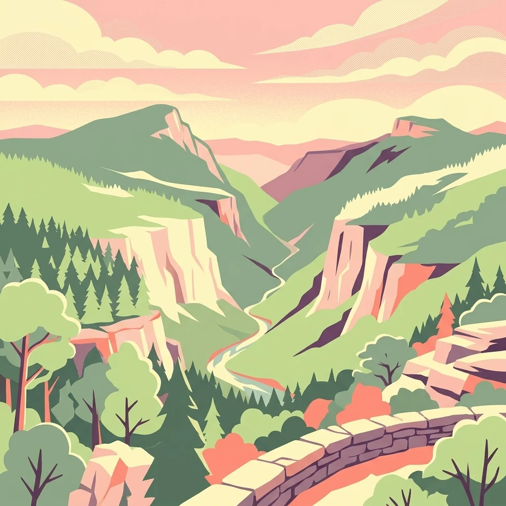
A colorful digital illustration showing a deep river gorge with steep cliffs, dense forest, and a stone wall in the foreground under a sunset sky.

A rugged old-growth gorge in the North Carolina Blue Ridge, often called the Grand Canyon of the East.

Linville Gorge Wilderness

Linville Gorge Wilderness is a protected wilderness area in the Blue Ridge Mountains of western North Carolina, set within the Pisgah National Forest and managed by the United States Forest Service. Often nicknamed the "Grand Canyon of North Carolina," it is one of only two wilderness gorges in the Southern United States and one of the largest wilderness areas in the state. The wilderness surrounds a deeply carved stretch of the Linville River, where the rim ridges rise roughly 1,400 feet above the gorge floor. This dramatic descent, combined with steep walls and an absence of roads in the bottom of the canyon, has preserved a large tract of old-growth forest that is exceptionally rare for the region. Black bear, wild turkey, raptors, and a rich hardwood and pine forest community all thrive in this remote terrain. Designated in 1964 under the original Wilderness Act, Linville Gorge holds a distinctive place in American conservation history as one of the first formally protected wilderness areas in the United States. It remains a destination for serious hikers, backpackers, rock climbers, and anyone drawn to rugged Appalachian landscapes shaped almost entirely by natural forces rather than human infrastructure.

Location
United States of America
Park type
Wildlife reserve
Established
1964
Area
47.7 km²
Linville Gorge Wilderness Protected Area

Compare Linville Gorge Wilderness events by date and distance

Explore historical earthquakes around Linville Gorge Wilderness

Linville Gorge Wilderness’ earthquake entries are associated by reported epicentre and measured wilderness distance, not presumed occurrence within the deep gorge boundary. The catalogue presents time, magnitude, depth, locality, separation, and citations for historical context without attributing seismic cause to gorge conditions, defining present hazard, or forecasting activity.

Sort by
Magnitude
Location

This page describes catalogued earthquakes associated with the park by epicentre location and distance. It does not establish causation, assess current danger, or predict future earthquakes.

No earthquake records match the current filters

Park atlas

Step beyond Linville Gorge Wilderness records into the wider atlas

Find new park destinations after Linville Gorge Wilderness

Linville Gorge Wilderness’s earthquake catalogue ends before this independent selection of other protected destinations begins. The destinations are not presented as sharing gorge terrain, wilderness designation, geography, geology, nearby location, earthquake history, seismic properties, hazards, risk, or matching source coverage with the current wilderness.
Watercolor painting of a winding trail through grassy hills with mountains in the background, using a soft pastel color palette of greens, purples, and yellows.
Protected landscapeNorth Carolina
Park boundaries overlap#1 closest

Southwest

Pisgah National Forest: Protected Appalachian Mountain Geography and Regional Mapping

An extensive mountain forest in western North Carolina

Pisgah National Forest represents a major protected landscape in the southern Appalachian Mountains of North Carolina. Its diverse terrain includes high peaks above 6,000 feet, dense hardwood forests, and deep river gorges. Recognized as a historic center for professional forestry, the area protects extensive watersheds and wilderness zones, offering a detailed case study in Appalachian geography, conservation science, and rugged mountain topography.

Area
2,075.06 km²
Established
1916
Relief
Mountain
Climate
Temperate
Protected areaVirginia
81 km away#2 closest

North

Lewis Fork Wilderness: Geography and Protected Land Profile in Southwestern Virginia

High-elevation Appalachian backcountry and ridgeline mapping

Spanning the ridgelines near the summit of Mount Rogers, Lewis Fork Wilderness serves as a key ecological anchor for Virginia. This protected backcountry offers a dense mosaic of forest types, ranging from oak-hickory stands to rare spruce-fir habitats. The landscape features steep terrain and pristine mountain streams, providing a concentrated look at the environmental complexity of the southern Appalachian Mountains.

Area
24.59 km²
Established
1984
IUCN
Ib
Relief
Mountain
A soft, horizontal watercolor painting depicting layers of rolling mountain ridges and evergreen forests in shades of green, yellow, and light pink.
Protected landscapeVirginia
About 82 km away#3 closest

North

Mount Rogers National Recreation Area: Virginia Appalachian Highlands Protected Landscape

Mapping high-elevation ridgelines and wilderness corridors.

Located in southwestern Virginia, Mount Rogers National Recreation Area preserves a vast expanse of southern Appalachian mountain terrain. The landscape features spruce-fir forests, alpine-style balds, and deep valley watersheds. This protected area serves as a primary geographic anchor for hikers and conservationists, housing the highest peak in the state and extensive federally designated wilderness segments within its borders.

Area
626.52 km²
Established
1966
Relief
Mountain
Climate
Temperate
Wildlife reserveGrayson County
84 km away#4 closest

Northeast

Little Wilson Creek Wilderness: Protected Appalachian Forest and High Elevation Geography

Mapping the ridges, stream systems, and balds of Grayson County

Little Wilson Creek Wilderness is a significant protected area in southwestern Virginia, featuring elevations exceeding 4,800 feet. The region spans a diverse ecological landscape of rare high country bogs, northern hardwood forests, and old growth remnants that drain into the New River system. Gain insights into the terrain and boundaries of this prominent Blue Ridge Mountain wilderness.

Area
22.1 km²
Established
1984
IUCN
Ib
Relief
Mountain
Wildlife reserveVirginia
93 km away#5 closest

Northeast

Raccoon Branch Wilderness: Mapping Protected Wildlife Reserves in Southwest Virginia

Rugged quartzite ridges and Appalachian stream corridors

The Raccoon Branch Wilderness represents a significant protected area within the Southern Blue Ridge mountains. Its geography is characterized by parallel ridgelines and deeply cut drainage channels that support rare plant communities and endangered aquatic life. This wilderness serves as a vital component of the regional Mount Rogers cluster, preserving a representative segment of Appalachian highland terrain.

Area
17.1 km²
Established
2009
IUCN
Ib
Relief
Mountain
National parkTennessee
98 km away#6 closest

West

Great Smoky Mountains National Park: Exploring Its Protected Landscape and Regional Geography

Tennessee's premier national park, mapped for landscape discovery.

Delve into the protected area identity of Great Smoky Mountains National Park, a significant natural landmark within Tennessee. This page provides detailed context on its mountainous terrain, mapped ecological zones, and its foundational role in the broader geography of eastern North America. Understanding the park's specific protected landscape features and its geographic setting is essential for appreciating its unique conservation value.

Area
2,114.15 km²
Established
1934
IUCN
II
Visitors
12.2M annual
A pale, abstract watercolor painting depicting gentle, tree-covered mountain ridges against a white background.
Wildlife reserveNorth Carolina
103 km away#7 closest

Southwest

Middle Prong Wilderness: High-Elevation Appalachian Forest and Watershed Geography

Rugged ridges and headwaters in the Pisgah National Forest

Middle Prong Wilderness encompasses nearly 7,900 acres of protected southern Appalachian terrain. This rugged landscape, ranging from deep valley floors to wind-swept high-elevation ridges, serves as a vital protected corridor adjacent to Shining Rock Wilderness, showcasing a complex mosaic of hardwood and spruce-fir forest ecosystems within the Blue Ridge Mountains.

Area
32 km²
Established
1984
IUCN
Ib
Relief
Mountain
A horizontal watercolor painting depicting a soft green landscape with rolling hills, a meandering stream, and foreground grasses against a light white background.
Protected landscapeNorth Carolina
108 km away#8 closest

Southwest

Nantahala National Forest: Geographic Overview of Protected Appalachian Mountain Landscapes

Mapping deep river gorges and temperate rainforests in North Carolina

The Nantahala National Forest represents a significant conservation achievement, encompassing diverse southern Appalachian mountain terrain. The landscape features deep river gorges, ancient old-growth forests, and extensive networks of waterfalls. This overview provides mapped context on its vast wilderness areas, including Joyce Kilmer-Slickrock, and the long-distance trail corridors that traverse this temperate rainforest region.

Area
2,150 km²
Established
1920
Relief
Mountain
Climate
Temperate
MoriAtlas Explorer

Discover the Deep Canyons and Protected Ridges of Linville Gorge Wilderness

Continue your geographic exploration of the Southern Appalachian landscape by examining the terrain and boundaries of Linville Gorge Wilderness. MoriAtlas provides a clear view into the vertical relief and preserved old-growth habitats that define this historic North Carolina wildlife reserve.