Mori Atlas logo
Park earthquake history

A historical archive of documented seismic events mapped relative to this desert wilderness landscape.

Recorded Earthquake History and Seismic Activity Near Little Picacho Wilderness in California

Access a structured, location-based catalogue of seismic events documented in the region surrounding the Little Picacho Wilderness. This historical record provides details on individual earthquake events, including magnitude, depth, and epicentre distance relative to the protected volcanic ridges and desert basins of this California wilderness area.

Related tags

desert wildernessSonoran Desertvolcanic ridgeswild horsesdesert bighorn sheep

A rugged Sonoran desert wilderness of dark volcanic ridges along the lower Colorado River.

Little Picacho Wilderness

Little Picacho Wilderness is a Bureau of Land Management wilderness area in southeastern California, forming a southern extension of the Chocolate Mountains near the lower Colorado River. Covering roughly 38,000 acres of arid Sonoran desert terrain, the area is defined by dark, sharply silhouetted volcanic ridges, dry washes, and dramatic elevation changes from the river lowlands to the heights of Picacho Peak. The wilderness supports a notable mix of characteristic desert wildlife, including a well-documented population of free-roaming wild horses in its northwestern sector, as well as desert bighorn sheep, desert tortoises, wild burros, and a variety of bat species. Its location, adjacent to the Colorado River corridor and within the Lower Colorado River Valley system, places it in a region of strong ecological and geographic importance. Although less famous than some California desert wildernesses, Little Picacho is recognized for its combination of dark mountain scenery, wildlife habitat, and sense of remoteness. It is one of several federally protected landscapes that anchor the desert region between Yuma, Arizona and Blythe, California.

Location
United States of America
Park type
Wildlife reserve
Established
1994
Area
154.7 km²
Highest point
500 m
Little Picacho Wilderness Atlas

Navigate Little Picacho Wilderness events by date and distance

Examine the earthquake record near Little Picacho Wilderness

Little Picacho Wilderness’s earthquake collection connects reports to the Sonoran Desert and volcanic-ridge setting through epicentre geography and measured separation. Readers can examine timing, magnitude, depth, place descriptions, wilderness distance, and source documentation without assuming events lay inside the boundary, affected desert wildlife, arose from local terrain, or indicate future activity.

Sort by
Magnitude
Location

This page describes catalogued earthquakes associated with the park by epicentre location and distance. It does not establish causation, assess current danger, or predict future earthquakes.

No earthquake records match the current filters

Park atlas

Leave California's volcanic Sonoran ridges for other wild places

Distinct park destinations beyond Little Picacho Wilderness’s desert terrain

Little Picacho Wilderness sets its earthquake record among dark volcanic ridges beside the lower Colorado River in the Sonoran Desert. The next protected places are unrelated profiles, not evidence of shared wilderness designation, desert setting, volcanic geology, seismic conditions, nearness, hazard, or source quality.
Wildlife reserveCalifornia
About 17 km away#1 closest

Northwest

Indian Pass Wilderness: Protected Sonoran Desert Geography and Terrain Mapping

Analyzing desert mountain slopes and riparian corridors in California

Indian Pass Wilderness represents a key protected-area unit where the arid Chocolate Mountains descend into the Lower Colorado River Valley. The area is defined by its dramatic drainage patterns, including Julian Wash, and its role as a transition zone between desert upland and riparian edge, serving as a critical study for understanding southwestern desert geography and protected landscape boundaries.

Area
131.19 km²
Established
1994
IUCN
Ib
Relief
Mountain
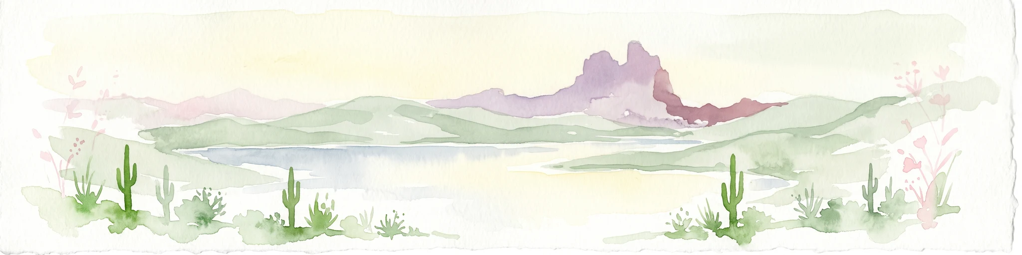
A soft watercolor illustration depicting a panoramic desert landscape with prominent rugged purple mountains in the background, rolling green hills in the midground, and saguaro cacti in the foreground.
Wildlife reserveArizona
103 km away#2 closest

Northeast

Eagletail Mountains Wilderness: Mapping Arizona Sonoran Desert Protected Areas

Remote ridgelines and desert basin geography in central Arizona.

Analyze the desert mountain terrain of the Eagletail Mountains Wilderness. This protected area features jagged rocky peaks, open desert plains, and a unique position near the Bouse Wash headwaters, making it a key study for Arizona desert geography and arid-land preservation.

Area
407 km²
IUCN
Ib
Relief
Mountain
Climate
Arid
National parkCalifornia
109 km away#3 closest

Northwest

Joshua Tree National Park: Mapped Protected Landscape and Regional Geography in California

Explore unique park boundaries and natural terrain across Southern California.

Joshua Tree National Park is a vital protected area in California, known for its distinctive natural landscape and geographic setting. This entry provides detailed information on the park's mapped boundaries and the unique terrain it encompasses, serving as a key point for atlas exploration of protected lands. Understand the regional geography and the specific character of this significant national park.

Area
3,217.9 km²
Established
1994
IUCN
II
Visitors
3.1M annual
Watercolor painting showing a soft landscape with rolling hills in the background and a grassy plain with sparse trees and water in the foreground.
Wildlife reserveUnited States of America
About 111 km away#4 closest

North

Riverside Mountains Wilderness: Mapping the Desert Peaks and Protected Landscapes of California

A rugged desert wildlife reserve within the Lower Colorado River Valley

Riverside Mountains Wilderness features a tightly woven mosaic of dry drainages, rocky slopes, and sheltered canyon pockets. Situated in Riverside County, California, this protected area showcases a striking transition between steep mountain crags and open desert flats, providing a meaningful look at the Sonoran and Colorado Desert ecosystems along the Colorado River corridor.

Area
97.14 km²
Established
1994
Relief
Mountain
Climate
Arid
Wildlife reserveCalifornia
124 km away#5 closest

West

Fish Creek Mountains Wilderness: Mapping the Rugged Colorado Desert Plateau in California

Exploring desert ridges and ancient shoreline remnants

Fish Creek Mountains Wilderness offers a study in desert geomorphology, rising as an abrupt plateau above the surrounding basin. This Bureau of Land Management protected area contains intricate erosional landforms, including twisting canyons and natural rock tanks sustained by limestone outcrops. These features create a critical desert wildlife habitat that maintains moisture long after seasonal storms, offering a quiet, undisturbed perspective on the broader Imperial County landscape.

Area
86.7 km²
Established
1994
IUCN
Ib
Relief
Mountain
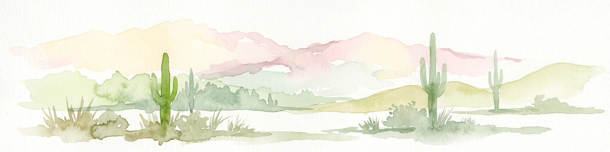
Watercolor painting of a desert scene with rolling hills in the background and saguaro cacti in the foreground.
Wildlife reserveMaricopa County
145 km away#6 closest

Northeast

Hummingbird Springs Wilderness: A Protected Sonoran Desert Landscape in Maricopa County

Rugged mountain terrain and desert wash networks

Spanning more than 31,000 acres, Hummingbird Springs Wilderness serves as a core protected area in the Sonoran Desert. The geography encompasses the Belmont Mountains, providing a stark contrast of arid peaks and sandy basins that extend through western Maricopa County. This roadless wilderness represents an essential connection between adjacent protected lands, maintaining a vast and isolated desert environment shaped by centuries of geological forces.

Area
126.26 km²
Established
1990
IUCN
Ib
Relief
Mountain
National parkEnsenada Municipality
About 167 km away#7 closest

Southwest

Constitution 1857 National Park National Park: Mapped Protected Landscape Discovery

Geographic context and park boundaries for Ensenada Municipality.

Delve into the protected landscape of Constitution 1857 National Park, a key national park entity located in the Ensenada Municipality. This resource highlights the park's distinct geographic features and mapped protected area, crucial for atlas exploration and understanding the regional natural terrain. Gain structured insight into the park's identity and its role within the wider geographic context.

Area
50.09 km²
Established
1962
IUCN
II
Relief
Mountain
Watercolor painting of a mountain landscape with rolling green hills and small evergreen trees, with soft purple mountain silhouettes in the distance.
Protected landscapeCalifornia
192 km away#8 closest

Northwest

San Bernardino National Forest: Geography and Protected Landscape Atlas

Transverse and Peninsular mountain ranges in California

Spanning over 820,000 acres, San Bernardino National Forest offers a look at one of Southern California's most significant protected landscapes. The forest features seven wilderness areas and a dramatic range of elevation, moving from arid chaparral to old-growth mixed conifer forests. Our geographic mapping traces the unique structure of four intersecting mountain ranges, detailing the terrain from deep canyons to high alpine peaks.

Area
3,333.87 km²
Established
1907
Relief
Mountain
Climate
Mediterranean
MoriAtlas Explorer

Continue Exploring the Protected Landscapes of Little Picacho Wilderness

Access comprehensive geographic data and mapped boundaries for Little Picacho Wilderness through MoriAtlas. Examine the intricate connection between this wildlife reserve, its volcanic mountain ranges, and the surrounding desert ecosystems of the lower Colorado River Valley.

Global natural geography