Mori Atlas logo
Park earthquake history

Review recorded event dates, calculated magnitudes, and proximity data for regional seismic events.

Historical Earthquake Records and Seismic Activity Catalogue for Parc naturel régional du Luberon

This archival collection compiles historical earthquake events with epicenters recorded in the vicinity of Parc naturel régional du Luberon. The catalogue provides a structured overview of seismic activity observed in the surrounding geography, including data on event magnitudes, focal depths, and relative distances from the park boundaries. Researchers can use this resource to analyze historical trends in seismic occurrences across the Provence-Alpes-Côte d'Azur region.

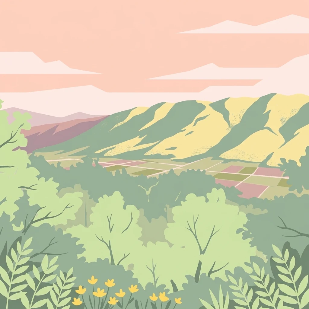
A flat-style digital illustration showing a panoramic view of rolling green hills, agricultural fields, and soft pink skies, framed by foreground foliage and small yellow flowers.

A UNESCO-recognized Provençal park of low mountains, ochre valleys and globally significant geological heritage

Luberon Regional Nature Park

The Luberon Regional Nature Park is a protected regional park in southeastern France, centered on the Luberon massif, a low mountain range running east to west across the departments of Vaucluse and Alpes-de-Haute-Provence in the Provence-Alpes-Côte d'Azur region. Established in 1977 as the seventeenth regional nature park in France, the territory encompasses the Petit Luberon, the Grand Luberon and the Luberon Oriental, together with the southern flanks of the Monts de Vaucluse, creating a transitional landscape between the Mediterranean plains and the Alpine foothills. The park is recognized at the international level for both its geological and ecological value. It was admitted to the UNESCO-assisted Global Geoparks Network in 2004 and, together with a broader surrounding area, forms part of a UNESCO biosphere reserve designated in 1997. Its diverse terrain of limestone ridges, fossil-rich plateaus, oak woodlands, scrubland, valleys and perched villages shelters a rich Mediterranean fauna and flora, alongside one of France's most important geological natural reserves. Beyond its natural value, the Luberon is also an emblematic cultural landscape of Provence, shaped by centuries of agriculture, silkworm raising, ochre mining, truffle cultivation, and more recently by UNESCO-recognized efforts to revive traditional cereal varieties. Today, the park balances land conservation, sustainable economic activity and the management of a landscape that is simultaneously a working rural territory and one of the most visited natural areas in France.

Location
France
Park type
Regional park
Established
1977
Area
1,747.3 km²
Highest point
1,256 m
Explore Parc naturel régional du Luberon Geography

Review Parc naturel régional du Luberon events and distances

Search earthquakes near Parc naturel régional du Luberon

Parc naturel régional du Luberon’s collection maps reported epicentres by calculated distance from its Provençal boundary, keeping seismic records distinct from limestone ridges, valleys, villages, and the east–west massif. Each entry retains its date, magnitude, depth, locality, source, and park distance for historical comparison without attributing landscape effects, present risk, or recurrence.

Sort by
Magnitude
Location

This page describes catalogued earthquakes associated with the park by epicentre location and distance. It does not establish causation, assess current danger, or predict future earthquakes.

No earthquake records match the current filters

Park atlas

Continue after a 1,747.26 km² mountain, cliff, forest and river landscape

Move from Luberon earthquake records to another protected-place profile

Parc naturel régional du Luberon’s earthquake catalogue is followed by an independent atlas destination; its 1,747.26 km² terrestrial mountain setting includes hills, valleys, cliffs, forest and rivers, but those facts belong only to Luberon. The next page is not presented as a terrain match, nearby place, equivalent regional park, seismic analogue, hazard comparison or risk assessment.
Nature reserveProvence-Alpes-Côte d'Azur
About 0.4 km away#1 closest

Southeast

Réserve naturelle nationale géologique du Luberon: Geological Atlas and Protected Park Sites

Mapping Cenozoic fossil sites and limestone terrains in Provence

This protected area consists of 28 scattered sites documenting life from the Cenozoic Era through fossil-rich limestone, marl basins, and ancient lake sediments. It serves as a vital reference for field research and earth sciences, featuring rare trace fossils and mammal trackways embedded within the wider Provençal countryside.

Area
3.12 km²
Established
1987
IUCN
III
Nature reserveProvence-Alpes-Côte d'Azur
About 5.6 km away#2 closest

Northwest

Réserve naturelle régionale Ermitage-Escampeaux: A Protected Landscape in the Vaucluse Department

Mapping regional nature reserves within inland Provence-Alpes-Côte d'Azur.

Located in the Villes-sur-Auzon commune, the Réserve naturelle régionale Ermitage-Escampeaux stands as a significant addition to the protected lands of Provence-Alpes-Côte d'Azur. This 252.9-hectare reserve offers a focused look at the transition between Mediterranean garrigue and the higher Provençal uplands, providing essential habitat conservation within a traditional rural mosaic.

Area
2.529 km²
Established
2026
IUCN
IV
Nature reserveProvence-Alpes-Côte d'Azur
About 17 km away#3 closest

Southwest

Réserve naturelle régionale de la Poitevine-Regarde-Venir: Steppe Conservation and Geography

Protected dry steppe landscapes in the French Crau region

Delve into the geography of the Réserve naturelle régionale de la Poitevine-Regarde-Venir, a specialized nature reserve that safeguards the distinctive pebbly coussoul of the Crau plain. The area represents a fundamental piece of Mediterranean pastoral history, balancing fragile steppe ecosystems with traditional agricultural meadows.

Area
2.207 km²
Established
2009
IUCN
IV
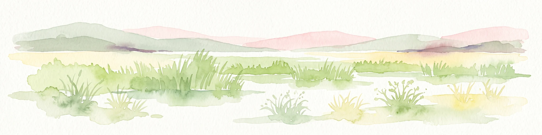
A horizontal watercolor painting depicting a soft-focus landscape of grassy wetlands in the foreground with gentle, rolling hills in the background.
Nature reserveProvence-Alpes-Côte d'Azur
About 25 km away#4 closest

West

Réserve naturelle régionale de l'Ilon: Protected Wetland Atlas and Geographic Context

Mapping Mediterranean marshes in the Alpilles foothills.

Covering 176 hectares of diverse wetland habitat, Réserve naturelle régionale de l'Ilon preserves critical marshlands and floodable meadows. This site demonstrates the interplay between lowland water systems and the rocky Alpilles range, providing a essential refuge for diverse dragonfly and bird species within the heart of Provence.

Area
1.76 km²
Established
2012
IUCN
IV
Nature reserveProvence-Alpes-Côte d'Azur
About 32 km away#5 closest

East

Réserve naturelle régionale de Saint-Maurin: Geological Heritage in the Verdon Gorge

Travertine formations and cave habitats in Provence

Covering 25 hectares at the mouth of the Gorges du Verdon, this regional nature reserve protects a rare set of travertine terraces and tufa caves. Its geography creates a micro-refuge for specific cave-dwelling species and cliff-nesting raptors, standing as a significant example of geological and biological preservation in the Alpes-de-Haute-Provence department.

Area
0.248 km²
Established
2009
IUCN
IV
Relief
Upland
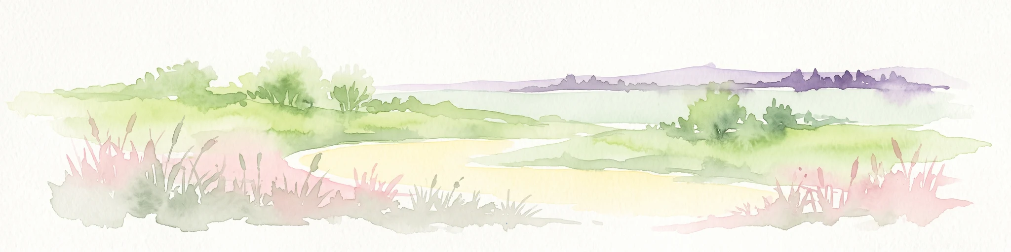
A horizontal watercolor illustration showing a marshy, grassy landscape with soft green and muted pink tones against a white background.
Regional parkProvence-Alpes-Côte d'Azur
32 km away#6 closest

Southwest

Parc naturel régional de Camargue: Mapping the Rhône Delta Protected Wetland Landscape

Regional park geography and wetland conservation zones

Parc naturel régional de Camargue is a sprawling protected landscape at the confluence of the Rhône and the Mediterranean. This regional park contains significant saline lagoons, coastal dunes, and fertile marshes that serve as a crucial site for waterbird migration. Understand the interplay between traditional salt-making, pastoral ranching, and the strictly protected nature reserves that shape this delta territory.

Area
856.9 km²
Established
1970
IUCN
V
Relief
Lowland
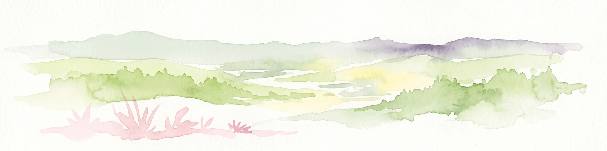
A soft watercolor painting of a rolling hilly landscape with muted greens, yellows, and purples on a white background.
Nature reserveProvence-Alpes-Côte d'Azur
About 33 km away#7 closest

East

Réserve naturelle géologique de Haute-Provence: Geological Protected Area and Map Atlas

Tracing fossil-rich outcrops across the French Pre-Alps regional landscape

Spanning 269 hectares, the Réserve naturelle géologique de Haute-Provence preserves iconic fossil sites like the Dalle aux Ammonites and diverse tectonic terrains. This repository offers insight into the reserve's unique sedimentary layers, folded mountain strata, and deeply incised river valleys that document prehistoric marine environments in France.

Area
2.69 km²
Established
1984
IUCN
III
Relief
Mountain
Nature reserveProvence-Alpes-Côte d'Azur
About 35 km away#8 closest

Southwest

Réserve naturelle régionale du Pourra - Domaine du Ranquet: Coastal Lagoon Protected Landscape

Regional Nature Reserve in Provence-Alpes-Côte d'Azur

Spanning over 300 hectares near Port-de-Bouc, this protected area preserves interconnected Mediterranean lagoons and surrounding marshlands. It offers a distinct geographic perspective on transitional coastal habitats situated within the heavily developed Bouches-du-Rhône department.

Area
3.153 km²
Established
2020
IUCN
IV
MoriAtlas Explorer

Continue Exploring the Protected Landscapes of Parc naturel régional du Luberon

Deepen your understanding of the geological formations and mountain terrain found within Parc naturel régional du Luberon. MoriAtlas provides a structured look at the park's boundaries, diverse Mediterranean habitats, and significant fossil sites that define this unique territory in the Provence-Alpes-Côte d'Azur region.