
Mori Atlas logo
Park earthquake history

Review documented seismic event data including magnitude, focal depth, and epicenter proximity.

Historical Catalogue of Recorded Earthquakes Associated with the Mariannenaue Nature Reserve

This collection provides a searchable history of seismic activity recorded in the vicinity of Mariannenaue. Each entry reflects event parameters sourced from standardized geoscientific catalogues, documenting occurrences by epicentral distance to this Upper Rhine nature reserve. Users can filter by historical timeframe to examine regional seismic patterns without inferring future hazard or structural susceptibility for the landscape.

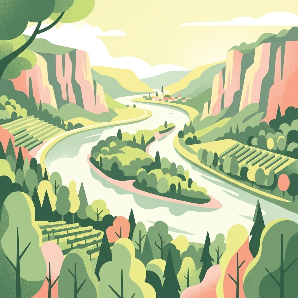
A stylized digital illustration of a river landscape with a central island covered in dense forest. Steep valley slopes on both sides of the river feature terraced vineyards and woodland areas under a soft, warm sky.

About Mariannenaue

Mariannenaue

Mariannenaue is a sizeable inland island in the Upper Rhine, situated in the Rheingau between the localities of Erbach and Hattenheim in the borough of Eltville am Rhein. With roughly 68 hectares of land it is larger than the widely known Mainau in Lake Constance, and including its associated training groynes and still waters it stretches more than five kilometers along the river course. The island is enclosed by the two side channels called the Kleine Gieß and Große Gieß, which together create an extensive area of protected calm water around the central landmass. Ecologically the island is significant for its Auenwald floodplain forest, which includes trees estimated to be up to four hundred years old, and for its function as both a breeding habitat and a staging point for migratory birds. A rare beaver species is also documented on the island. Since 1972 the area has been a German nature reserve, and since 1974 it has additionally held European-level status as a Fauna-Flora-Habitat area, placing it within the broader Rhine conservation network. Beyond its natural value, Mariannenaue is a working wine-growing landscape. Schloss Reinhartshausen cultivates roughly 23 hectares of vineyards on the island, producing notably well Chardonnay thanks to the calcareous soils and the moderating climatic effect of the surrounding river. The island is historically connected to the schloss on the right bank and has also been linked, by local historians, with the death of Emperor Louis the Pious in 840 AD.

Location
Germany
Park type
Nature reserve
Established
1972
Area
2 km²
Mariannenaue Nature Reserve Geography

Search Mariannenaue events by depth, place, and distance

Review the recorded earthquake catalogue associated with Mariannenaue

Mariannenaue’s collection positions reported epicentres around the Upper Rhine island through calculated reserve distance, separating seismic records from river channels, flat alluvial land, woodland, and protected habitats. Dates, magnitudes, depths, localities, sources, and site distances support historical comparison without attributing island effects, current risk, or recurrence.

Sort by
Magnitude
Location

This page describes catalogued earthquakes associated with the park by epicentre location and distance. It does not establish causation, assess current danger, or predict future earthquakes.

No earthquake records match the current filters

Park atlas

Move past Mariannenaue historical earthquake data

Discover other protected park destinations after Mariannenaue

Move beyond Mariannenaue’s earthquake records to protected destinations with their own atlas context and geographic identities. The cards do not establish that those places share this German Rhine island’s floodplain landscape or legal protection, and they imply no matching regional earthquake pattern, geology, proximity, present hazard, risk, or record coverage.
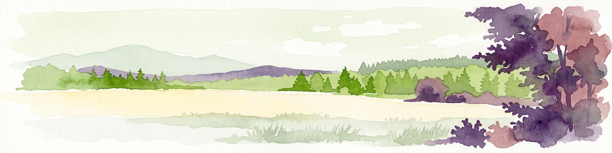
A watercolor painting showing a soft, atmospheric landscape with a river flowing through green hills and gentle, misty mountains.
Nature reserveRhineland-Palatinate
Park boundaries overlap#1 closest

East

Inselrhein Nature Reserve, Rhineland-Palatinate: A Geographic and Protected-Area Atlas

River islands, floodplain forests, and Upper Rhine wetlands

Inselrhein features a chain of natural river islands and side channels forming a critical wetland habitat. The terrain transition from soft-wood to hardwood forest communities creates a layered landscape. Examine the protected boundaries and geographic significance of this river corridor between Mainz and Bingen, documented within the Rhineland-Palatinate atlas.

Relief
Lowland
Climate
Temperate
Access
Easy access
Scope
Terrestrial
A horizontal watercolor illustration of a natural landscape featuring a small body of water or pond in the foreground, surrounded by grassy banks, low hills in the distance, and soft-colored vegetation.
Nature reserveRhineland-Palatinate
About 2 km away#2 closest

Southeast

Sandgrube am Weilersberg Nature Reserve and Protected Landscape Map

Rhineland-Palatinate, Germany protected area

Sandgrube am Weilersberg is a protected nature reserve in Rhineland-Palatinate, Germany, known for its compact mosaic of calcareous sand slopes and wet meadows. Part of the Natura 2000 network, the site preserves rare steppe flora and wetland ecosystems that emerged following former sand extraction. The terrain supports significant entomological, botanical, and bryological diversity maintained through active grazing.

Area
0.095 km²
Established
1986
Relief
Lowland
Climate
Temperate
Nature reserveRhineland-Palatinate
About 2.7 km away#3 closest

South

Hangflächen um den Heidesheimer Weg: Nature Reserve Geography and Protected Landscape Context

Mainz-Bingen, Rhineland-Palatinate Nature Reserve

Hangflächen um den Heidesheimer Weg contains an unusual ecological convergence of sand dunes, open flats, and calcareous grasslands near Ingelheim am Rhein. This nature reserve provides critical protection for a fragmented yet highly structured landscape where springs and wetland zones intersect with warm, dry slopes. The area preserves a significant biotope complex of national importance within the Upper Rhine Plain.

Area
3.348 km²
Established
2003
A soft watercolor painting of a forest landscape with slender trees, green grass, and distant rolling hills against a pale, warm sky.
Nature reserveRhineland-Palatinate
About 5.3 km away#4 closest

East

Lennebergwald Nature Reserve: Mapped Geography and Protected Forest Landscapes in Germany

Rhineland-Palatinate woodland and dry forest ecosystem analysis

Analyze the Lennebergwald nature reserve through its geological and ecological profile. This protected area in Rhineland-Palatinate showcases a rare inland sand forest structure, linking together pine and oak stands with vital dry grassland habitats that form a critical ecological mosaic in central Germany.

Area
8 km²
Established
1996
Relief
Lowland
Climate
Temperate
Watercolor painting of a misty river landscape with green trees, reeds, and soft hills in the background.
Nature reserveHesse
About 5.4 km away#5 closest

Northeast

Niederwallufer Bucht Nature Reserve: Rhine Floodplain Landscape and Geographic Context

Protected riparian habitat in the state of Hesse

Niederwallufer Bucht represents a key example of a conserved Rhine riverbank environment. This nature reserve protects a delicate mix of soft-wood forests, sheltered backwater bays, and riparian meadows. By maintaining these wetlands against the backdrop of the heavily settled Rheingau, the site provides a vital node of ecological continuity and a clear look at floodplain terrain within central Germany.

Area
0.13 km²
Established
2000
IUCN
IV
A watercolor illustration of a calm body of water with a single tree in the center; distant rolling hills are visible in the background under a soft, pastel-colored sky.
Nature reserveLower Saxony
About 6.4 km away#6 closest

Southwest

Fulder Aue, Ilmen Aue Nature Reserve: Mapped Protected Landscapes and Floodplain Geography

Alluvial river islands and wetland ecosystems in the Rhine valley.

The Fulder Aue, Ilmen Aue nature reserve serves as an vital example of an active Rhine floodplain. This area preserves a mosaic of islands, connecting channels, and soft-wood forest habitats. Learn about the geographic and hydrological dynamics that shape this protected space near Bingen am Rhein, showcasing its importance within the Rhine lowland system.

Area
3.38 km²
Established
1995
Relief
Lowland
Scope
Terrestrial
Watercolor painting of a river landscape with rolling green hills, distant slopes, and soft vegetation in shades of green and pink against a white background.
Nature reserveRheingau-Taunus-Kreis
7.6 km away#7 closest

West

Rüdesheimer Aue Nature Reserve and Upper Rhine Protected Landscape

Riverine geography and protected floodplain forest

Rüdesheimer Aue represents a rare, uninhabited island refuge along the Upper Rhine. Its geography features shifting sediment bars, mudflats, and softwood floodplain forest cover, offering an essential staging ground for migratory waterbirds within the Rheingau-Taunus district of Hesse.

Area
0.057 km²
Relief
Lowland
Climate
Temperate
Access
Remote access
A horizontal watercolor illustration of a natural valley scene, featuring an open meadow in the foreground, forest edges in the midground, and rolling hills in the background.
Nature reserveHesse
About 7.7 km away#8 closest

Northeast

Rechtebachtal bei Georgenborn Nature Reserve: Geographic Profile and Protected Landscape

A mapped stream valley ecosystem in the Hesse Taunus foothills

The Rechtebachtal bei Georgenborn nature reserve protects a two-part valley corridor along the Rechtebach stream near Georgenborn and Martinsthal. This site preserves rare habitat mosaics of meadows and woodland that characterize the transitional zone between the Taunus highlands and the Rhine valley, offering a distinct study in regional conservation geography.

Area
0.185 km²
Established
1989
IUCN
IV
Relief
Upland
MoriAtlas Explorer

Continue Exploring the Protected Landscape of Mariannenaue in the Upper Rhine

Gain a deeper understanding of the Mariannenaue nature reserve by examining its unique position within the Rhine river system. This MoriAtlas entry provides structured details on the island's floodplain forest composition, its protected water channels, and the surrounding agricultural geography of the Rheingau region.