
Mori Atlas logo
Natural monumentMeandry Chvalšinského potoka

A preserved mosaic of riparian habitats and meandering stream channels in the South Bohemian region

Meandry Chvalšinského potoka Natural Monument: Protected River Meanders and Valley Geography

Meandry Chvalšinského potoka stands as a significant natural monument within the Jihočeský kraj, protecting a rare, non-channelized stretch of stream that retains its original hydrological character. This protected area preserves a complex mosaic of curving watercourses, gravelly point bars, and surrounding wet meadows that support specialized aquatic communities. The site serves as a vital geographic example of how small-scale riparian landscapes function when left to evolve through natural fluvial processes within the wider basin.

river meandersprotected streamriparian habitatwet meadowsthistle meadowssedge meadows
A flat-style digital illustration depicting a mountain valley featuring a tall waterfall, a winding river, forested slopes, and a grassy foreground with small yellow flowers.

Meandry Chvalšinského potoka

Natural monument

Park overview

Structured park overview, official facts, and landscape profile for Meandry Chvalšinského potoka

Meandry Chvalšinského potoka park facts, protected area profile, and essential visitor context

Review the core facts for Meandry Chvalšinského potoka, including designation, size, terrain, visitor scale, habitats, and operating context in one park-focused overview.

About Meandry Chvalšinského potoka

Meandry Chvalšinského potoka occupies a narrow but ecologically valuable corridor along the Chvalšinský potok, sometimes also called the Polečnice, a small stream that drains the foothills around the Chvalšiny Basin in the South Bohemian Region. Although the protected area covers only about 4.82 hectares, it captures a stretch of the brook where the water still follows its natural, unhindered meandering pattern through agricultural countryside, offering a glimpse of how lowland Bohemian streams once behaved before widespread hydraulic regulation.

The site lies administratively in the Kájov municipality, within the local settlement of Křenov, and stretches roughly from the small bridge at Křenov upstream to the bridge on the road between Český Krumlov and Chvalšiny, just outside the grounds of Červený Dvůr. In geographical terms it sits at the lower edge of the Blanský les protected landscape area, where the wooded uplands of the Blanský les give way to flatter valley land south of Český Krumlov. This position within a larger landscape protection framework is important: the natural monument is individually small, but it sits within, and complements, the broader aims of the surrounding chráněná krajinná oblast.

The defining natural feature is the freely meandering channel of the brook, with shifting point bars, undercut banks, and shallow gravel stretches. Along the banks grow characteristic riparian plant communities, while the adjacent valley floor is occupied by wet meadows dominated by thistles and sedges, the so-called pcháčové and ostřicové louky typical of Central European floodplain margins. These meadows are not an incidental backdrop; they are part of the protected object, because the open, moist, periodically flooded grassland is what allows many of the stream's associated species to thrive.

As a protected monument, the area is classified in the Czech system as a přírodní památka, which corresponds to IUCN Category IV, a habitat or species management area. In practice this means the protection is targeted rather than comprehensive, focused on the continuing persistence of the meander itself and on the living communities that depend on its hydrological dynamics. The Blanský les administration declared the monument in 2001 to lock in that targeted protection before further agricultural pressure or stream modification could compromise the site's natural functioning.

Quick facts and research context for Meandry Chvalšinského potoka

Meandry Chvalšinského potoka is a Czech přírodní památka (natural monument), a category corresponding to IUCN Category IV, focused on the protection of a particular species or habitat. It was declared on 26 February 2001 by the administration of the Chráněná krajinná oblast Blanský les, the protected landscape area that surrounds and frames this small site.

The protected area sits at an elevation of roughly 534 to 538 meters above sea level in the Chvalšinská kotlina basin, and covers about 4.82 hectares along the Chvalšinský potok between the hamlet of Křenov and the bridge on the road between Český Krumlov and Chvalšiny, near Červený Dvůr. Its defining purpose is to conserve the natural meandering course of the brook together with its bankside plant communities and associated wet meadows.

Park context

Deeper park guide and search-rich context for Meandry Chvalšinského potoka

Meandry Chvalšinského potoka history, landscape, wildlife, and travel context

Explore Meandry Chvalšinského potoka through its history, landscape character, ecosystems, wildlife, conservation priorities, cultural context, and seasonal travel timing in a structured park guide built for atlas discovery and search intent.

Why Meandry Chvalšinského potoka stands out

The protected area is best known for preserving an unusually natural, freely meandering stretch of the Chvalšinský potok in an otherwise heavily cultivated Bohemian landscape. Where many streams in Central Europe have been straightened, channelized, or dredged for agriculture, this site retains the original sinuous curves of the watercourse, complete with cut banks, gravelly point bars, and oxbow tendencies that shape the surrounding vegetation. Equally important to the site's identity is the mosaic of wetland habitats attached to the brook itself: lush riparian vegetation along the banks and broad patches of moist thistle and sedge meadows on the valley floor. Together, the meander and the meadows form a compact but ecologically rich refuge that gives the monument its distinct profile within the Blanský les protected landscape area.
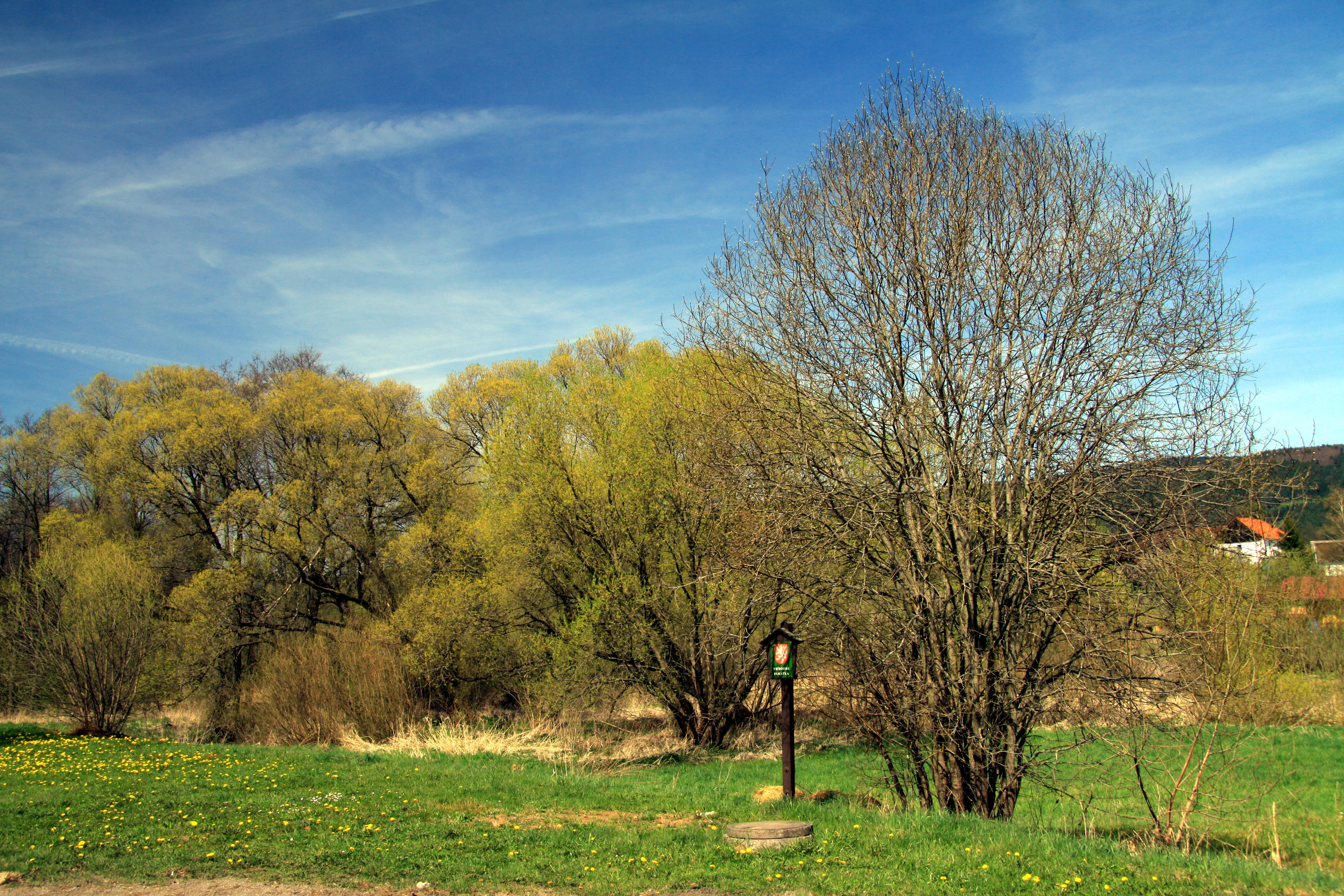
A meadow with yellow wildflowers in the foreground and deciduous trees under a clear blue sky, with a small trail marker visible near a tree.
A spring view of the wetlands and natural scenery at Meandry Chvalšinského potoka.

Meandry Chvalšinského potoka history and protected-area timeline

The history of the site as a protected natural monument begins with its declaration on 26 February 2001, when the administration of the Chráněná krajinná oblast Blanský les formally established Meandry Chvalšinského potoka as a přírodní památka. The timing was deliberate: by the early 2000s, the surviving natural meanders of this small stream were already considered unusual in the Czech landscape, where most watercourses had been altered by long-standing drainage and channelization efforts tied to agriculture and settlement.

Before its designation, the stretch of the Chvalšinský potok between Křenov and the road bridge toward Chvalšiny had been preserved largely because the immediate surroundings remained in traditional rural use, with meadows and small-scale farming rather than industrial-scale land transformation. The 2001 declaration did not alter the ownership or land use of these meadows so much as place them under a formal protection regime, requiring any interventions along the brook and its banks to be assessed against the goal of keeping the meander and its associated habitats intact.

Within the framework of the Blanský les protected landscape area, the monument represents one of the smaller but more targeted conservation units, focused specifically on a riverine habitat rather than on forests or upland terrain. It is a recognition that even a few hectares of an intact, freely meandering stream along with its fringing wet meadows can carry disproportionate ecological and didactic value in a heavily modified Central European landscape.

Meandry Chvalšinského potoka landscape and geographic character

The landscape of Meandry Chvalšinského potoka is defined above all by the meandering channel of a small lowland stream set within a shallow valley basin. The Chvalšinská kotlina, the broad basin around Chvalšiny south of Český Krumlov, frames the site with gentle valley slopes that descend from the wooded uplands of the Blanský les toward flatter agricultural ground. Within this basin, the protected stretch follows the natural curves of the brook rather than a straightened artificial bed.

The terrain itself is modest in elevation, sitting only just above 530 meters above sea level, but it is visually rich because of the contrast between the curving watercourse and the surrounding mosaic of meadows, banks, and scattered trees. Undercut riverbanks expose sandy and gravelly sediments where the meander actively cuts into older deposits, while the corresponding inner banks show accreting point bars where freshly deposited material gradually builds up. Over time, this dynamic continually reshapes the local relief on a small but ongoing scale.

Surrounding the immediate river corridor, the broader landscape is a mix of wet meadows, drier pastoral fields, and patches of riparian woodland along the watercourse. Small footbridges and the modest road bridge near Červený Dvůr provide the only crossings within the protected area, and the wider basin retains the appearance of a traditional South Bohemian rural valley rather than an intensively engineered floodplain. This combination of small-scale landforms, active hydrological shaping, and a largely traditional agricultural matrix gives the site its distinct landscape character.

Meandry Chvalšinského potoka ecosystems, habitats, and plant life

Ecologically, the site is built around a tightly linked trio of habitats: the open water and gravel bed of the Chvalšinský potok itself, the narrow strip of riparian vegetation along its banks, and the wet meadows that extend outward from the channel. These habitats are not isolated patches; they form a continuous gradient in which small changes in water level and soil moisture translate into clear shifts in plant communities.

Along the stream, the banks host characteristic riverside vegetation, including taller herbaceous plants, reeds, and shrubs that thrive where the water table is high and occasional flooding brings fresh sediment. Away from the immediate banks, the valley floor grades into moist meadows dominated by thistles (pcháčové louky) and sedges (ostřicové louky), species groups typical of Central European wet meadows. These meadows depend on periodic high groundwater and on the natural dynamics of the meander, which creates microtopographic variation between higher, drier edges and lower, wetter cores.

The broader ecological context is the Blanský les protected landscape area, a region known for its patchwork of forests, agricultural land, and small valley wetlands. Within that frame, the meandering stretch of the Chvalšinský potok functions as a small but important hydrological and ecological corridor, allowing moisture-dependent species to persist in an otherwise cultivated matrix and providing a continuous link between different segments of the valley ecosystem.

Meandry Chvalšinského potoka wildlife and species highlights

The wildlife profile of the protected area is dominated by aquatic and riparian species rather than by large mammals, reflecting the linear, water-driven nature of the habitat. Two species in particular are highlighted in the protection rationale: the European brook lamprey (Lampetra planeri), known in Czech as mihule potoční, and the bullhead, or common sculpin (Cottus gobio), known as vranka obecná.

Both species are characteristic of clean, well-oxygenated small streams with gravelly or sandy beds, exactly the conditions preserved by the still-natural, unchannelized meanders of the Chvalšinský potok. The European brook lamprey spends its larval phase buried in soft sediments in the brook before undergoing metamorphosis, while the bullhead uses the spaces between stones as shelter and spawning substrate. Their continued presence is treated as a direct indicator that the stream's hydrology and sediment structure remain close to their natural state.

Beyond these focal species, the wet meadows and riparian strips provide habitat for typical Central European wetland fauna, including insects and other invertebrates associated with thistle and sedge meadows, amphibians that use both the stream and adjacent wet ground, and small mammals and birds that forage along the linear corridor of the brook. The site does not host charismatic megafauna, but its wildlife value lies precisely in the persistence of these specialized aquatic and wetland communities in a small, well-defined refuge.

Meandry Chvalšinského potoka conservation status and protection priorities

From a conservation perspective, Meandry Chvalšinského potoka is significant because it preserves a functioning, naturally meandering lowland stream together with its attendant riparian and meadow habitats in a region where such intactness is rare. In the Czech context, where many watercourses have been historically channelized for land drainage and agricultural intensification, an unaltered meandering system of this size is treated as a valuable reference site for both biodiversity and hydrological processes.

The formal classification of the site as a přírodní památka, corresponding to IUCN Category IV, signals that the main objective is targeted habitat and species management rather than broad landscape protection. In practice this means that activities in or near the brook, such as watercourse modifications, intensive grazing, or land-use changes in the wet meadows, are regulated to maintain the meander and the species it supports. The umbrella of the surrounding Blanský les protected landscape area adds a broader landscape-level framework, ensuring that the small monument remains embedded in a larger connected system of protected and semi-natural habitats.

A particular focus of the conservation effort is the persistence of the European brook lamprey and the bullhead, both of which depend on clean gravel beds and unaltered hydrology, as well as the maintenance of the wet thistle and sedge meadows along the banks. By holding the line against further stream modification and meadow conversion, the monument functions as a small but durable anchor of aquatic and riparian biodiversity within the South Bohemian countryside.

Top sights and standout views in Meandry Chvalšinského potoka

The defining highlight of Meandry Chvalšinského potoka is the surviving natural meander of the Chvalšinský potok between Křenov and the road bridge toward Chvalšiny, a stretch where the water still curves freely through its valley rather than flowing in a straightened channel. This geomorphic signature is the core of the site's identity and the reason for its protected status.

Closely tied to this is the supporting matrix of riparian vegetation and wet thistle and sedge meadows, which together with the meander create a complete, working floodplain on a very small scale. The presence of the European brook lamprey and the bullhead, two species sensitive to stream degradation, reinforces the site's role as a living benchmark of stream health, while its location within the Blanský les protected landscape area gives it additional landscape-scale relevance.

Best time to visit Meandry Chvalšinského potoka

The most rewarding time to experience the protected area is late spring and early summer, when the wet thistle and sedge meadows along the brook are in full growth and the streamside vegetation is most lush. Higher groundwater and occasional spring flooding during this period highlight the dynamic relationship between the meander and the surrounding meadows that the monument is designed to protect.

Late summer and early autumn can also be attractive, when meadow vegetation has matured, seed heads of sedges and thistles add visible texture to the valley floor, and water levels are typically lower, making it easier to observe the structure of the meander itself, including its cut banks, point bars, and shallow gravelly stretches. In winter, the site is quieter and the meander pattern is more visible against the bare meadows, though vegetation interest is reduced.

Monthly climate preview

Long-term temperature ranges and precipitation patterns for Meandry Chvalšinského potoka

Meandry Chvalšinského potoka Climate and Monthly Weather Normals

Representative coordinate records show the recorded temperature and precipitation rhythm across twelve months at Meandry Chvalšinského potoka. Examining the full monthly climate profile reveals precise long-term thermal and moisture variations across the protected area.
Annual mean8 °C
-3 °C19 °C
Jan-3°
Feb-1°
Mar
Apr
May13°
Jun17°
Jul19°
Aug19°
Sep13°
Oct
Nov
Dec-2°
Warmest month
July

18.8 °C

Coolest month
January

-2.8 °C

Wettest month
July

3 mm/day

Driest month
February

1.1 mm/day

Park location guide

Geography guide, regional context, and park location map for Meandry Chvalšinského potoka

Meandry Chvalšinského potoka park geography, regions, and map view in Czechia

Understand where Meandry Chvalšinského potoka sits in Czechia through a broader geographic reading of the surrounding landscape, nearby location context, and its mapped position within the national park landscape.

How Meandry Chvalšinského potoka fits into Czechia

Czech Republic is a landlocked Central European country with a population of approximately 10.9 million people. The nation was established as an independent state on January 1, 1993, following the dissolution of Czechoslovakia. Its capital and largest city is Prague, with other major urban centers including Brno, Ostrava, Plzeň, and Liberec.

Wider geography shaping Meandry Chvalšinského potoka in Czechia

The Czech Republic is a landlocked country in Central Europe. It is bordered by Germany to the west, Austria to the south, Poland to the northeast, and Slovakia to the southeast. The landscape is predominantly hilly, with the territory covering 78,871 square kilometers.

Map view of Meandry Chvalšinského potoka

Use this park location map to pinpoint Meandry Chvalšinského potoka in Czechia, understand its exact geographic position, and read its mapped placement within the surrounding landscape more clearly.

Pigeon | © OpenStreetMap contributors

Location context for Meandry Chvalšinského potoka

Jihočeský kraj

Visualizing the winding stream, riparian habitats, and wetland meadows of the protected valley

Meandry Chvalšinského potoka Photos and Landscape Scenery

Visual records capture the serpentine meanders, gravel bars, and moist sedge meadows that define the protected valley corridor of Meandry Chvalšinského potoka. Examining these detailed landscape photographs helps researchers and visitors understand the intact hydrological patterns and riparian habitats of the South Bohemian basin.

A meadow with yellow wildflowers in the foreground and deciduous trees under a clear blue sky, with a small trail marker visible near a tree.

Park atlas

Compare regional valley reserves and connected river corridors across South Bohemia

Exploring Parks Near Meandry Chvalšinského Potoka and Surrounding Protected Landscapes

Continue geographic discovery by comparing Meandry Chvalšinského potoka with other protected natural areas across the surrounding basin. Regional park browsing reveals similar valley terrain, protected stream corridors, and diverse wetland ecosystems.
Natural monumentJihočeský kraj
About 3.6 km away#1 closest

East

Výří vrch Natural Monument: Regional Geography and Limestone Habitat Mapping

Protected limestone terrain in Jihočeský kraj

Výří vrch preserves a striking limestone inselberg that rises above the regional upland forests of the Czech Republic. The site provides a critical study in how exposed calcareous geology and warm, dry microclimates support a dense, specialized collection of steppe-like flora and invertebrate species within a broader forest-dominated landscape.

Area
0.129 km²
Established
2010
IUCN
IV
Relief
Upland
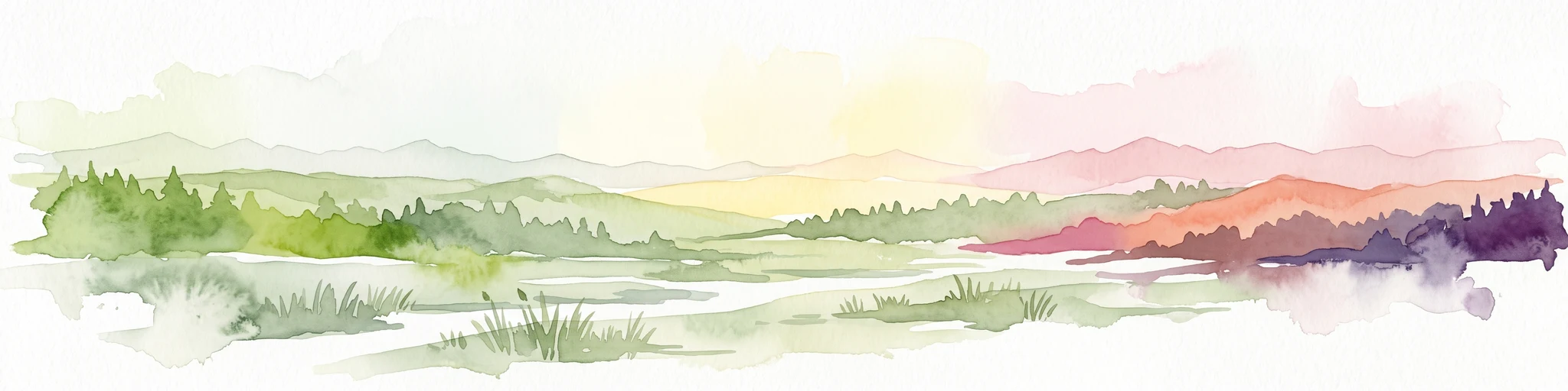
A watercolor painting of a rolling mountain landscape with forests, depicted in varying tones of green, orange, and purple, set against a white background.
Nature reserveJihočeský kraj
About 8.6 km away#2 closest

Northwest

Ptačí stěna Nature Reserve: Mapped Geographic Profile of South Bohemian Protected Forests

Granulite cliff landforms and submontane beech forest mapping.

Ptačí stěna Nature Reserve occupies a steep southwestern slope in the Blanský les, defined by a linear granulite frost-riven cliff and a vast talus field of boulders up to three meters across. This protected area showcases the interplay between mature 150-year-old beech woodlands and rugged, cool microhabitats that support unique species. The site serves as a vital example of layered forest and rock conservation in South Bohemia.

Area
0.205 km²
Established
1996
IUCN
IV
Relief
Mountain
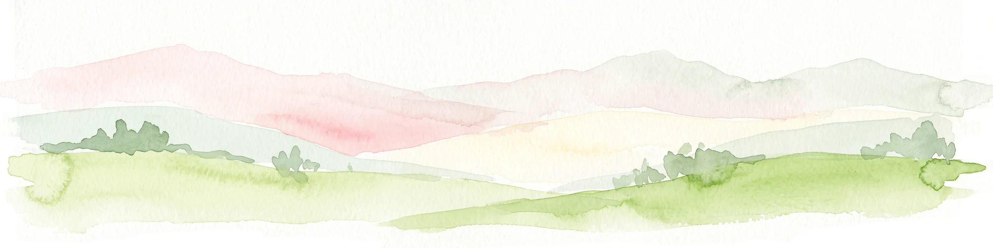
A horizontal watercolor illustration depicting soft, rolling green hills and distant pink-toned mountain silhouettes against a white background.
Natural monumentJihočeský kraj
About 9.9 km away#3 closest

North

Na Stráži Natural Monument: Protected Grassland Geography in the Czech Republic

A botanically significant meadow in the South Bohemian landscape

Na Stráži is an important natural monument situated on a steep hillside in the Jihočeský kraj region. Known for its population of green-winged orchids and unique thermophilous acidophilic grasslands, this protected meadow provides a critical example of small-scale habitat conservation within the larger Blanský les protected landscape.

Area
0.037 km²
Established
1993
IUCN
IV
Relief
Upland
Nature reserveJihočeský kraj
About 14 km away#4 closest

Northeast

Vltava u Blanského lesa: Protected Natural Monument and River Valley Geography

Mapping the riparian landscape and conservation corridors in Jihočeský kraj

Situated in the Jihočeský kraj, Vltava u Blanského lesa is a designated nature reserve encompassing a unique river valley corridor. This area bridges the transition between aquatic river habitats and surrounding terrestrial meadows, protecting a structural mosaic essential for threatened plant and animal populations across several kilometers of the upper Vltava.

Area
4.78 km²
Established
2014
IUCN
III
Relief
Upland
Nature reserveJihočeský kraj
About 17 km away#5 closest

Southwest

Velké bahno Nature Reserve: Protected Wetland and Mire Geography in the Šumava Foothills

Essential conservation habitat within the Jihočeský kraj region of the Czech Republic

Velké bahno stands as a compact but vital nature reserve featuring spruce-alder swamps, wooded peatlands, and boggy clearings. Its position within the Šumava Protected Landscape Area highlights a concentration of sensitive mire habitats, protected flora, and rare species adapted to the wet, undulating paragneiss terrain of the Bohemian Forest foreland.

Area
0.915 km²
Established
1992
IUCN
IV
Relief
Upland
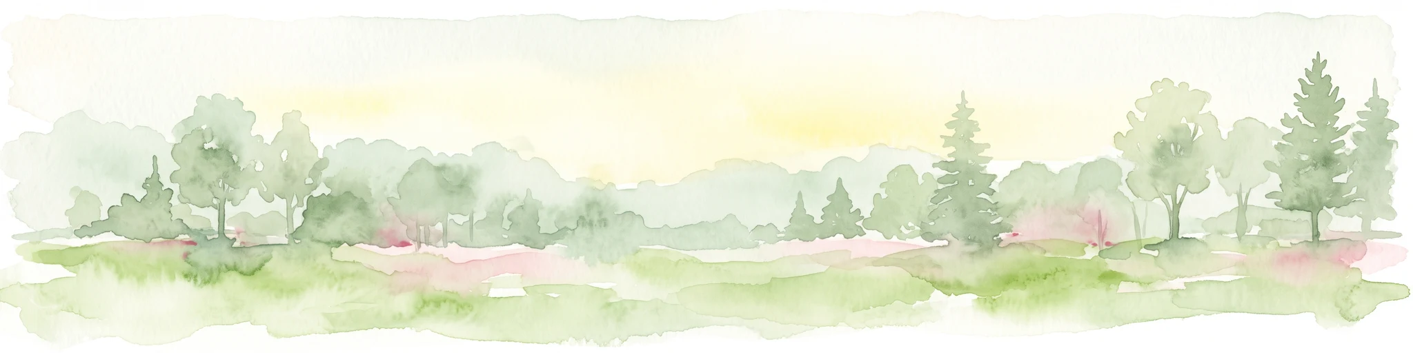
Watercolor illustration of a river flowing through a forested landscape with rolling hills in the background
National parkSouth Bohemian Region
About 20 km away#6 closest

West

Šumava National Park: Czech Republic's Premier Forested National Park and Protected Landscape

Explore the unique glacial lakes, peat bogs, and regional geography.

Šumava National Park, situated in the South Bohemian Region of the Czech Republic, is the nation's largest protected area and a vital component of Central Europe's forest ecosystems. This entry details its expansive terrain, highlighting the significant peat bog complexes and ancient glacial lakes that define its unique landscape. Discover the park's geographic context, mapped boundaries, and its importance as a protected natural asset within the broader regional atlas.

Area
680.64 km²
Established
1991
IUCN
II
Visitors
2M annual
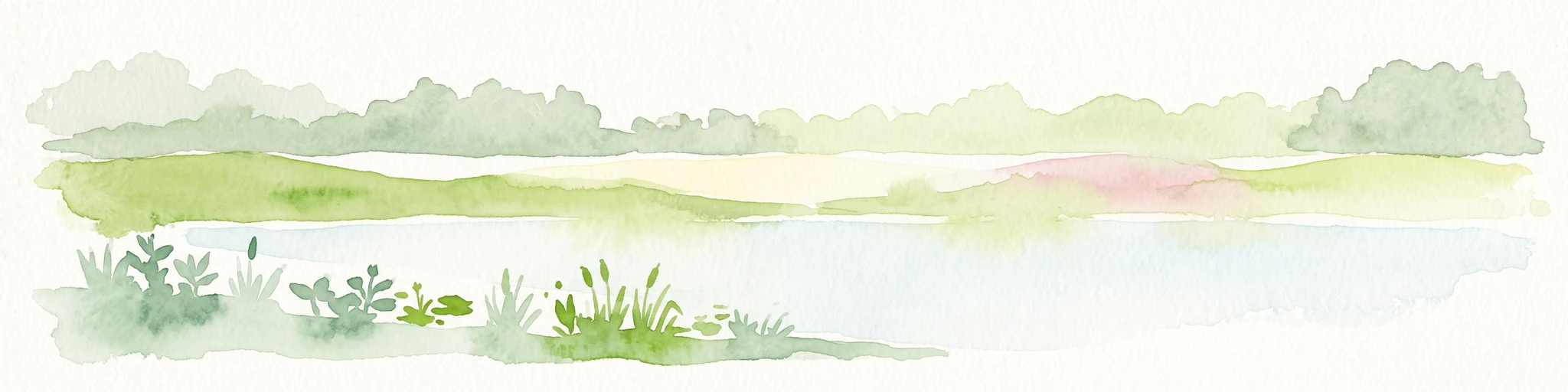
A soft watercolor illustration of a pond landscape with grassy banks, reeds, and soft green vegetation in the background.
Nature reserveJihočeský kraj
About 21 km away#7 closest

Northeast

Rybník Motovidlo Nature Reserve: Geographic Overview and Protected Area Profile

A critical aquatic landscape within the Jihočeský kraj region

Rybník Motovidlo is a specialized nature reserve in the Czech Republic, recognized for its role in conserving endangered aquatic vegetation and providing a refuge for diverse amphibian fauna. Its geographic position within the České Budějovice Basin links it to the broader network of South Bohemian ponds. The site serves as a vital case study for the integration of traditional pond management with modern biodiversity protection in a wetland-focused environmental context.

Area
0.116 km²
Established
2022
IUCN
III
Relief
Lowland
A horizontal watercolor painting depicting a soft, atmospheric landscape with grassy foreground vegetation, a treeline, and distant rolling hills against a pale sky.
Nature reserveJihočeský kraj
About 21 km away#8 closest

Southwest

Rašeliniště Borková Nature Reserve: Protected Peatlands in the Jihočeský kraj

Mapped wetlands and relict mire ecosystems of southern Bohemia

Located along the Lipno reservoir, Rašeliniště Borková preserves a essential fragment of the original Vltavická brázda valley landscape. The area maps a compressed, multi-zoned wetland habitat that ranges from nutrient-poor sedge mires to stable bog pine woodland, providing a necessary refuge for mire-dependent invertebrates and breeding waterbirds.

Area
0.487 km²
Established
1995
IUCN
IV
Relief
Upland

Common questions about visiting, size, designation, and location context for Meandry Chvalšinského potoka

Meandry Chvalšinského potoka FAQs for park facts, access, geography, and protected area context

Find quick answers about Meandry Chvalšinského potoka, including protected-area facts, park geography, trail and visitor context, and how the park fits into its surrounding country and regional landscape.
MoriAtlas Explorer

Continue Your Protected Areas Search Across the Global Atlas

Deepen your exploration by continuing the structured search for national parks and protected areas worldwide. Utilize the comprehensive filtering capabilities to compare different conservation landscapes and refine your understanding of global park geography. Discover more about the distribution and characteristics of protected natural areas.

Global natural geography