
Mori Atlas logo
Natural monumentMeandry Struhy

A detailed map and geographic overview of natural stream meanders and floodplain forest corridors.

Meandry Struhy Natural Monument and the Protected Riparian Landscapes of the Pardubice Region

Meandry Struhy represents a critical protected area in the Czech Republic, encompassing the free-flowing, winding path of the Struha stream within the Pardubice Region. This natural monument preserves a rare segment of undisturbed lowland watercourse, featuring dynamic erosional banks, sand bars, and dense riparian gallery forests. The site functions as a vital refuge for diverse birdlife and native freshwater fish populations, offering a focused look at the survival of authentic Elbe lowland ecology amidst a largely modified agricultural landscape.

meandering streamriparian forestfloodplain forestlowland riverIUCN Category IVnatural monument
A stylized digital illustration of a serene natural scene featuring a winding river flowing through a lush forest with a prominent waterfall cascading down rocky cliffs in the background.

Meandry Struhy

Natural monument

Park overview

Structured park overview, official facts, and landscape profile for Meandry Struhy

Meandry Struhy park facts, protected area profile, and essential visitor context

Review the core facts for Meandry Struhy, including designation, size, terrain, visitor scale, habitats, and operating context in one park-focused overview.

About Meandry Struhy

Meandry Struhy is a small protected landscape in the eastern Bohemian lowlands that captures one of the last naturally evolving stretches of the Struha stream, a modest left-bank tributary of the Elbe. Although the protected area covers only about 40 hectares within a broader agricultural landscape, its significance is disproportionate to its size because it preserves a working example of how a Central European lowland watercourse behaves when left to its own devices.

The core of the monument is the stream itself, which drifts across the flat Polabí terrain in pronounced meanders, undercutting banks on the outside of bends and depositing sediment on the inside. Along the water, bands of native riparian trees form a continuous green corridor, and behind them stand patches of genuine floodplain forest, the lužní les that once dominated vast areas of this region. Intermixed with the wooded parts are wet meadows and grassy openings that increase habitat diversity along such a narrow corridor.

The site's importance goes beyond hydrology and scenery. The combination of older trees, tangled root systems overhanging the water, and quiet banks creates exactly the kind of varied microhabitats that lowland birds and freshwater fish need. In an intensively farmed and historically reshaped region, Meandry Struhy functions almost like a small green artery for wildlife moving between larger forest patches and the broader Elbe river system.

For visitors, the protected area is integrated into the surrounding trail network. A green-marked hiking route runs through the central part of the monument, and the East Bohemian stretch of the Way of St. James passes through it as well, linking the site into a wider cultural and pilgrimage route ending at Přelouč.

Quick facts and research context for Meandry Struhy

Meandry Struhy is a Czech protected natural monument, classified at the national level as a přírodní památka and internationally under IUCN Category IV (habitat/species management area). It was formally declared on 9 July 1980 and is administered by the Agency for Nature Conservation and Landscape Protection of the Czech Republic (AOPK ČR).

The site covers roughly 40 hectares and lies at elevations between 211 and 221 meters above sea level in the flat agricultural countryside of eastern Bohemia. It spans the territory of the municipalities of Bezděkov, Valy, and Veselí in the Pardubice District, with its boundaries running from west of Bezděkov to the railway bridge on the Kolín–Česká Třebová line at Valy.

Protection and recognition

Examine documented protection frameworks and international recognition records for Meandry Struhy.

Meandry Struhy Protection Status and Terrestrial Conservation Scope

Meandry Struhy maintains a documented terrestrial protection scope within official conservation registries. Protected area records outline baseline designation details and administrative recognition frameworks for this landscape.

Protection details

Protection scope
Terrestrial
Transboundary protection
No
Park context

Deeper park guide and search-rich context for Meandry Struhy

Meandry Struhy history, landscape, wildlife, and travel context

Explore Meandry Struhy through its history, landscape character, ecosystems, wildlife, conservation priorities, cultural context, and seasonal travel timing in a structured park guide built for atlas discovery and search intent.

Why Meandry Struhy stands out

Meandry Struhy is primarily known for preserving a rare example of a freely meandering lowland stream in the Elbe lowlands, together with its associated riparian vegetation and floodplain forest. In a region where most watercourses have been straightened for agriculture, the natural bends of the Struha are the defining visual and ecological feature of the site. The monument is also recognized as an important bird area, providing nesting and foraging habitat for a range of lowland bird species. The combination of a winding stream, soft bank edges, overhanging willows, adjacent meadows, and shallow oxbow-like features makes it a textbook setting for lowland Central European floodplain ecology.
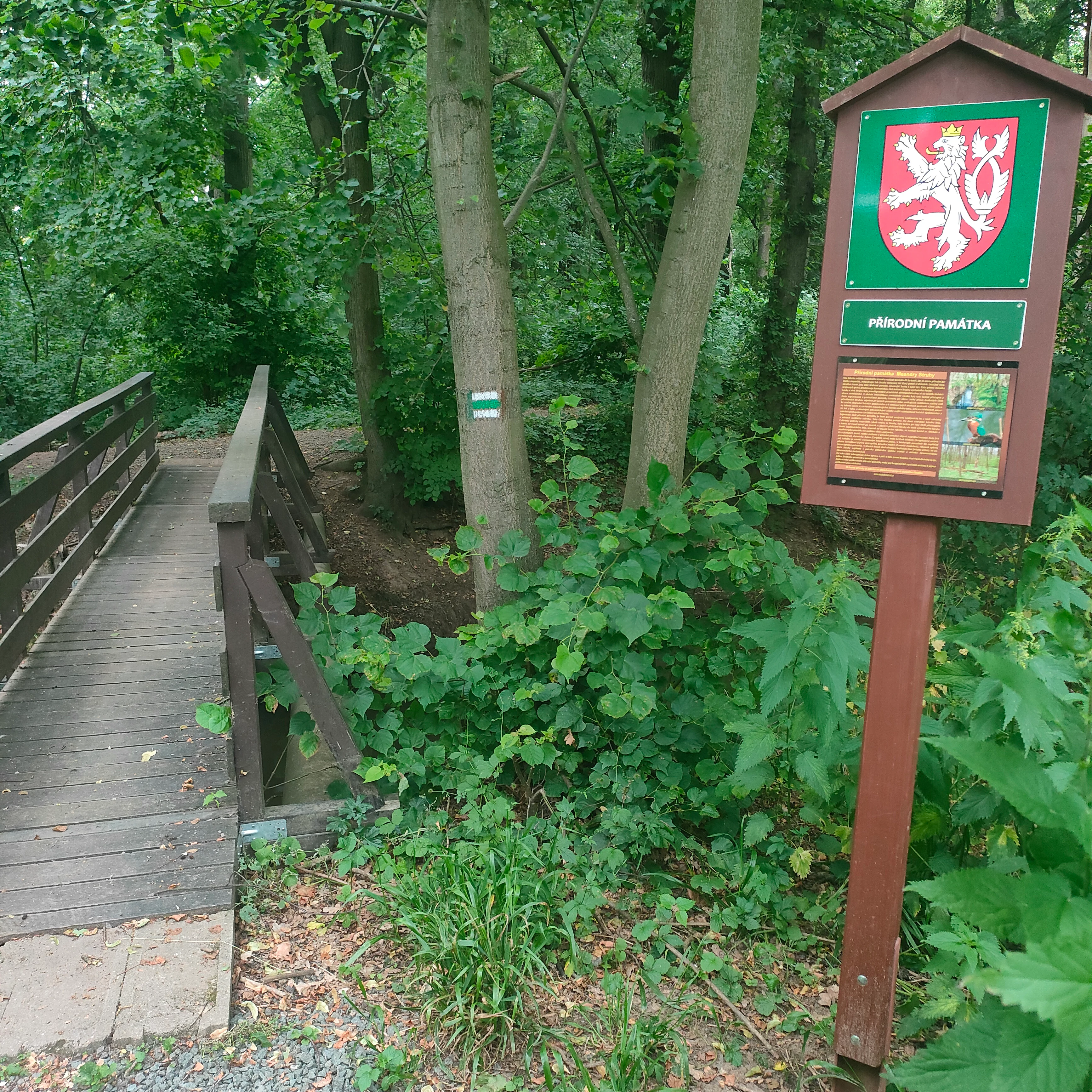
A wooden footbridge leading into a forested area next to a brown wooden information sign with the Czech Republic coat of arms at the top.
A wooden footbridge and informational sign marking the Meandry Struhy nature monument.

Meandry Struhy history and protected-area timeline

Meandry Struhy was established as a protected natural monument (přírodní památka) on 9 July 1980, reflecting the late 20th-century Czech recognition of the conservation value of intact lowland watercourses and their associated habitats. The designation came at a time when many similar lowland streams had already been heavily regulated, channelized, or constrained for flood control and agriculture, making surviving natural examples increasingly rare.

Within the protected area lies the forested setting of Lepějovice, a village abandoned during the Thirty Years' War in the 17th century and never resettled. The surviving forest around the site of the former village church now forms part of the Lepějovický les, an integral component of the monument that adds a layer of cultural-historical landscape interest on top of the natural values the site was created to protect.

The natural monument is identified by the registration number 680 in the Czech central nature conservation register and is administered by the Agency for Nature Conservation and Landscape Protection of the Czech Republic. Its management continues to focus on preserving the natural dynamics of the Struha stream and the integrity of its riparian and floodplain habitats rather than converting the area into an intensively used recreation zone.

Meandry Struhy landscape and geographic character

The landscape of Meandry Struhy is built around a very gently sloping section of the Elbe lowland, where the terrain lies between roughly 211 and 221 meters above sea level. The flat ground is characteristic of the Polabí region, where broad floodplains and agricultural plains stretch between larger settlements, and where the topography alone does not produce dramatic features. Instead, the visual interest here comes from the sinuous behavior of the water itself.

The defining landscape feature is the set of meanders cut by the Struha, a small but lively lowland stream. On the outer arcs of the curves, the current bites into the banks, producing steep erosional edges, exposed root systems, and small overhangs of soil. On the inner arcs, slower water drops fine sediment, building low sand or silt bars. Over time, this continuous reshaping gives the corridor an ever-changing pattern of pools, gravelly patches, and side cuts, all within a remarkably narrow strip of land.

Around the stream, the vegetation forms a layered corridor. Closest to the water grow willows and alders, often leaning over the surface. Behind them comes a denser band of mixed floodplain forest, with broadleaved species typical of Central European lowland riparian communities. At the edges of the protected area, the wetter elements transition into meadows and, beyond those, into the surrounding farmland that dominates the regional landscape.
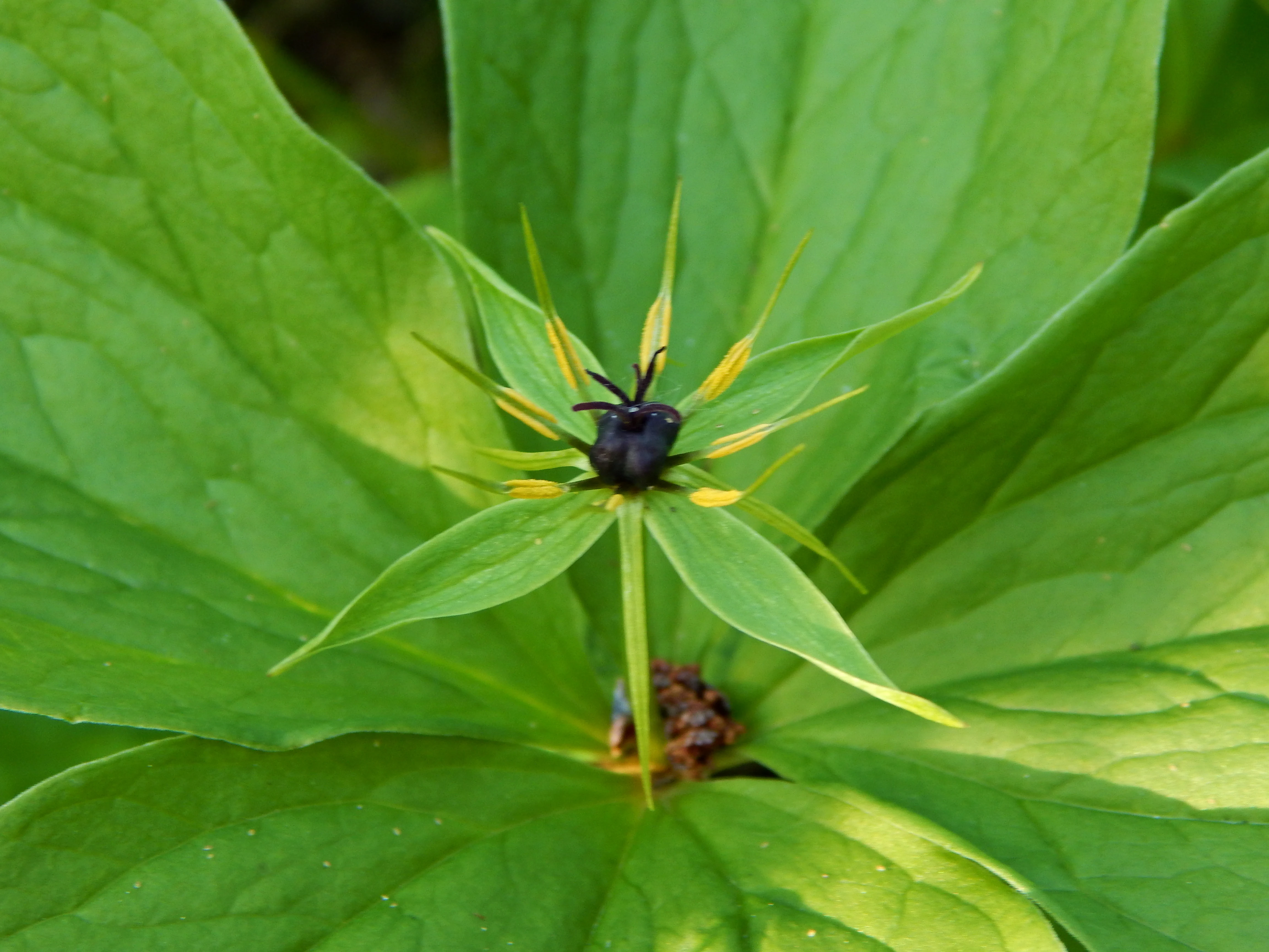
A close-up of a green Herb Paris flower with a dark central berry and radiating petals centered against a backdrop of large green leaves.
A close-up view of Herb Paris (Paris quadrifolia) within the Meandry Struhy reserve.

Meandry Struhy ecosystems, habitats, and plant life

Ecologically, Meandry Struhy represents a small but well-structured example of lowland floodplain habitat in eastern Bohemia. The site's identity is defined by the interaction between a freely meandering stream, its gallery of riparian trees, fragments of floodplain forest, and adjoining wet meadows. This mosaic supports a notably higher density and diversity of life than the surrounding intensive farmland.

The floodplain forest composition reflects the natural character of lowland riverine woods, with a mix of softwood pioneers along the water and more stable hardwood species occupying the slightly higher ground farther from the channel. The age structure of these trees is uneven, reflecting both natural regeneration along the meanders and longer-term development of the woodland. Fallen branches, undercut banks, and shallow side pools contribute to the structural complexity that many species require.

The wet meadows adjoining the stream add an open-land habitat component to the mosaic. They support different plant communities, including reed-like and grassy species adapted to occasional flooding and high water tables. These meadows are an important complement to the wooded parts, providing nesting cover for ground-nesting birds and feeding areas for various invertebrates that, in turn, support fish and bird populations.

On the whole, the monument functions as a small but functioning fragment of Polabí natural landscape, showcasing how a meandering lowland stream creates its own micro-topography, soil conditions, and habitat gradients within what would otherwise be uniform agricultural plain.
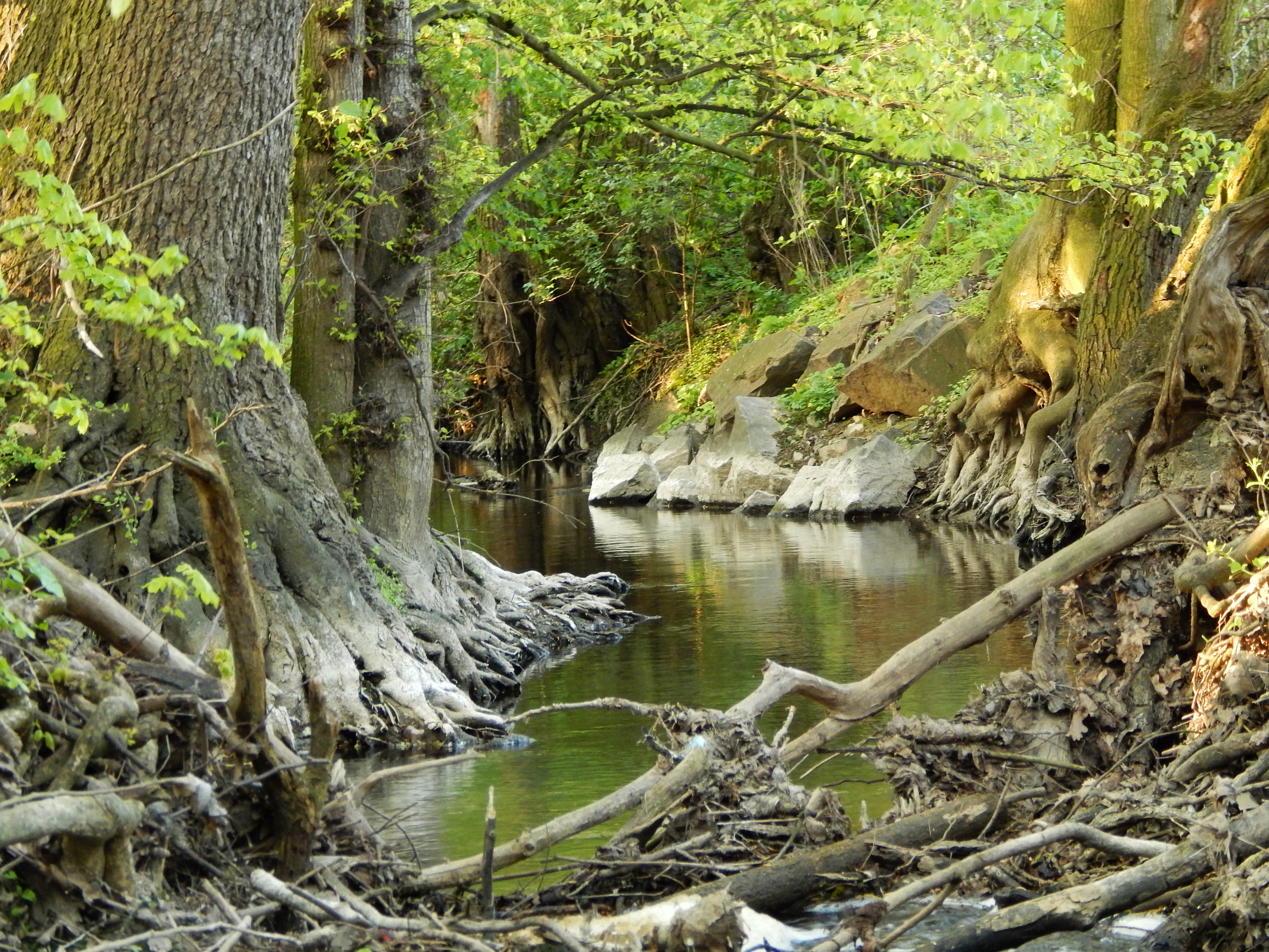
A peaceful, narrow stream flowing through a dense, green riparian forest, with exposed tree roots and fallen branches lining the muddy banks.
The natural meanders of the Struha stream, surrounded by riparian forest.

Meandry Struhy wildlife and species highlights

The wildlife profile of Meandry Struhy is shaped by the special value of the site as a bird habitat. The mosaic of meandering water, dense riparian shrubs, mature trees, and open meadows produces ideal conditions for lowland songbirds, and the monument is recognized as a significant nesting area for several species typical of Central European floodplains.

Among the characteristic nesting species associated with the site are the Eurasian blackcap, the bluethroat, and the singing reed warbler, all of which favor the dense, structured vegetation along lowland streams. The exposed vertical earth banks cut by the stream's meanders provide nesting sites for the European kingfisher, which digs its burrows directly into the soft sediment along the water.

The waters of the Struha themselves hold native freshwater fish communities adapted to cool, well-oxygenated, gravel-rich lowland streams. Brown trout inhabit the cleaner riffles, while gudgeons, including the marbled gudgeon, are found in slower stretches and near the streambed. Invertebrate life in and along the stream supports both the fish populations and the broader food web on which the site's birds depend.

Beyond the most frequently cited species, the combination of varied habitat types, vertical bank structure, and continuity of vegetation likely supports a wider community of woodland, meadow, and waterside species than the typical surroundings, although detailed inventories are not extensively documented in the public source material.
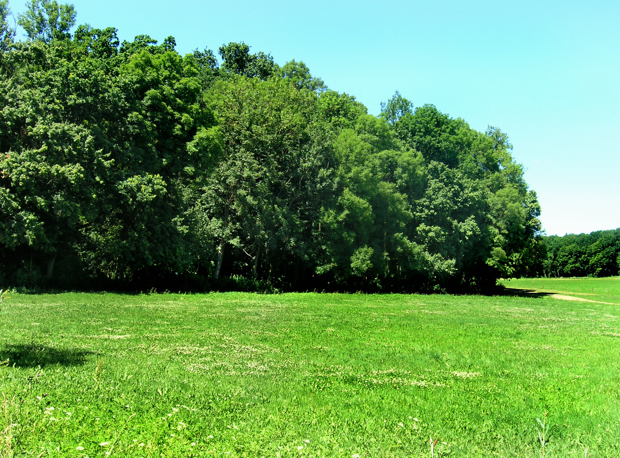
A wide, sunlit green meadow in the foreground with a dense, leafy deciduous forest line in the background under a clear blue sky.
A grassy meadow bordering a lush riparian forest at Meandry Struhy.

Meandry Struhy conservation status and protection priorities

The conservation significance of Meandry Struhy lies in its role as a surviving example of an unregulated lowland stream system in a region where most similar watercourses have been heavily engineered. By protecting the natural dynamics of the Struha, the monument preserves the ongoing, slow processes of bank erosion, meander migration, and floodplain formation that define a healthy lowland river landscape.

At the international level, the site is classified under IUCN Category IV, indicating that it is managed primarily for the conservation of particular species or habitats. The national-level designation as a přírodní památka underscores the same priority: preserving a specific natural asset of recognized ecological importance and maintaining the conditions that sustain it.

The site's habitat value extends beyond the stream corridor itself. The floodplain forest, riparian galleries, and meadow fragments together form a coherent ecological unit, providing cover, food resources, and movement corridors for species in an otherwise agricultural matrix. Loss of any one of these elements would significantly reduce the functionality of the whole, which is why the monument's boundaries deliberately encompass the surrounding forest, including the Lepějovický les, rather than just the watercourse.

Long-term conservation of Meandry Struhy depends on maintaining natural hydrological processes, preventing artificial straightening or hardening of the banks, and avoiding intensification of land use in the adjacent meadows, all of which are central concerns for lowland stream protection across the Elbe basin.

Meandry Struhy cultural meaning and human context

The cultural context of Meandry Struhy is closely tied to its landscape history rather than to active human settlement within the site today. The forests at the heart of the protected area include Lepějovický les, named after the former village of Lepějovice, which was abandoned during the Thirty Years' War in the 17th century. The remains of a church associated with this vanished settlement lie within the forest, where the woods gradually took over the old cultural landscape.

This pattern, where forests regrew over depopulated medieval and early modern settlements, is a recurring feature of the Czech countryside, and it gives the natural monument an additional layer of meaning. The trees preserving the memory of Lepějovice are themselves part of the floodplain forest ecosystem that the monument protects, illustrating the close relationship between historical land use and present-day natural values in the Elbe lowlands.

The site also has a modest but tangible connection to long-distance walking routes. The East Bohemian branch of the Way of St. James, a pilgrimage route associated with the Camino de Santiago, passes through the protected area on its way from Pardubice toward Přelouč. A green-marked Czech hiking trail links the stream corridor into the broader regional path network, framing Meandry Struhy as a place where natural and cultural routes meet in the lowland landscape.

Top sights and standout views in Meandry Struhy

The standout feature of Meandry Struhy is its freely meandering course of the Struha stream, which gives the protected area its name and its visual signature. In a region where most rivers and brooks have been channelized into straight, regulated lines for flood control and farming, these natural bends are increasingly rare and represent the site's primary conservation argument.

Equally important is the continuous riparian and floodplain forest that lines the stream, including the historically layered Lepějovický les. This wooded corridor is what makes the meanders viable habitat rather than just a curiosity, providing nesting cover for lowland songbirds and bank-nesting sites for kingfishers, and supporting native fish life in the water below.

Finally, the integration of the site into the regional trail network, including a segment of the East Bohemian Way of St. James, gives Meandry Struhy a particular character: it is at once a working piece of lowland ecology and a quiet walking landscape that ties together natural processes and centuries of regional human history.

Best time to visit Meandry Struhy

Meandry Struhy is best experienced during the warmer months of late spring and early summer, when deciduous trees along the stream are fully leafed out and bird activity around the meanders is at its peak. Spring brings active nesting and singing, while early summer offers the densest vegetation cover and the most visually dramatic contrast between the dark riparian forest and the bright meadows alongside it.

Autumn can also be rewarding, with leaf color over the meanders and quieter conditions along the trail, though flooding or higher water levels in the Struha can occasionally restrict access to sections closest to the streambed. Winter visits reveal the bare geometry of the meanders most clearly, since the lack of foliage exposes the course of the stream but also reduces wildlife observations and can bring damp, cold conditions to the low-lying ground.

Given the low elevation and modest elevations differences within the site, visit experience is shaped more by vegetation, water levels, and bird activity than by dramatic seasonal transformations.


Monthly climate preview

Long-term representative point measurements tracking monthly averages across the Pardubice Region

Meandry Struhy Climate Normals, Annual Temperature and Precipitation Rhythms

Historical climatology records outline the measured monthly temperature range and precipitation rates recorded at representative park coordinates. Examining the complete twelve-month profile provides detailed insight into long-term environmental patterns across the protected landscape.
Annual mean8 °C
-3 °C20 °C
Jan-3°
Feb-1°
Mar
Apr
May13°
Jun17°
Jul20°
Aug19°
Sep14°
Oct
Nov
Dec-1°
Warmest month
July

19.6 °C

Coolest month
January

-2.8 °C

Wettest month
July

2.8 mm/day

Driest month
April

1.2 mm/day

Park location guide

Geography guide, regional context, and park location map for Meandry Struhy

Meandry Struhy park geography, regions, and map view in Czechia

Understand where Meandry Struhy sits in Czechia through a broader geographic reading of the surrounding landscape, nearby location context, and its mapped position within the national park landscape.

How Meandry Struhy fits into Czechia

Czech Republic is a landlocked Central European country with a population of approximately 10.9 million people. The nation was established as an independent state on January 1, 1993, following the dissolution of Czechoslovakia. Its capital and largest city is Prague, with other major urban centers including Brno, Ostrava, Plzeň, and Liberec.

Wider geography shaping Meandry Struhy in Czechia

The Czech Republic is a landlocked country in Central Europe. It is bordered by Germany to the west, Austria to the south, Poland to the northeast, and Slovakia to the southeast. The landscape is predominantly hilly, with the territory covering 78,871 square kilometers.

Map view of Meandry Struhy

Use this park location map to pinpoint Meandry Struhy in Czechia, understand its exact geographic position, and read its mapped placement within the surrounding landscape more clearly.

Pigeon | © OpenStreetMap contributors

Location context for Meandry Struhy

Pardubice Region

Explore detailed imagery of winding river channels, riparian forest habitats, and floodplain terrain.

Meandry Struhy Photos and Landscape Scenery: Visualizing the Protected Lowland Stream

Photographic records reveal the meandering stream corridors, overhanging willow galleries, and undisturbed wildlife habitats that define the protected area. Visual exploration provides clear insight into the geomorphology, riparian vegetation, and lowland ecology preserved across the terrain.

A wooden footbridge leading into a forested area next to a brown wooden information sign with the Czech Republic coat of arms at the top.

A small, winding stream curves tightly around a grassy bank in a forested area, with dappled sunlight reflecting on the water surface.

A close-up of a green Herb Paris flower with a dark central berry and radiating petals centered against a backdrop of large green leaves.

A peaceful, narrow stream flowing through a dense, green riparian forest, with exposed tree roots and fallen branches lining the muddy banks.

A wide, sunlit green meadow in the foreground with a dense, leafy deciduous forest line in the background under a clear blue sky.

Park atlas

Compare regional geography and connected lowland protected landscapes

Other Parks and Protected Areas Near Meandry Struhy

Browse nearby national parks and protected areas sharing similar floodplain and lowland stream geography after viewing Meandry Struhy. Continuing into regional park comparisons helps trace the broader ecological context of the Elbe lowlands.
An illustrative style digital painting of a tranquil park scene with a lake in the foreground, a path along the bank, and mountains in the distance, depicted with a muted, pastel-toned color palette.
Protected landscapeChrudim District
About 9 km away#1 closest

South

Přírodní park Heřmanův Městec: Geographic Profile and Protected Landscape Boundaries

Tracing the elevation transitions of the Chrudim District foothills

This protected landscape in the Chrudim District merges man-made baroque vistas with natural oak woodlands. The park terrain rises over 100 metres from water-side flats to forested ridges, providing a distinct study in regional geology and calcareous soil habitats that support rare beetle and bat populations.

Area
3.41 km²
Established
1996
Relief
Mixed relief
Climate
Temperate
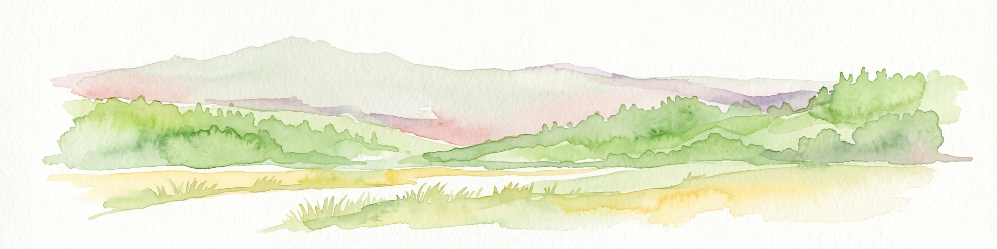
A soft watercolor painting of a river landscape with rolling hills, grassy riverbanks, and light green vegetation under a pale sky.
Protected landscapePardubický kraj
About 18 km away#2 closest

South

Přírodní park Doubrava Protected Landscape and River Valley Geography

A detailed map-based overview of the Doubrava River protected corridor in the Czech Republic.

Navigate the linear terrain of Přírodní park Doubrava, where natural riverine habitats meet industrial heritage in the Pardubický kraj. The area features a significant water tunnel, rocky banks, and a historic quarry-stone dam, creating an ecologically rich corridor that bridges the gap between the Bohemian-Moravian Highlands and the Iron Mountains.

Area
0.65 km²
Established
1998
Relief
Upland
Climate
Temperate
Natural monumentKrálovéhradecký kraj
About 22 km away#3 closest

Northwest

Víno Natural Monument: Mapped Protected Landscapes and Geographic Overview

Protected oak and hornbeam forest in eastern Bohemia

Víno Natural Monument is a significant protected area within the Královéhradecký kraj region, focused on the conservation of century-old broadleaf woodland. This location preserves essential deadwood microhabitats and diverse plant species, offering a clear example of lowland forest ecology integrated into the cultivated landscape of eastern Bohemia.

Area
0.725 km²
Established
2013
IUCN
III
Relief
Lowland
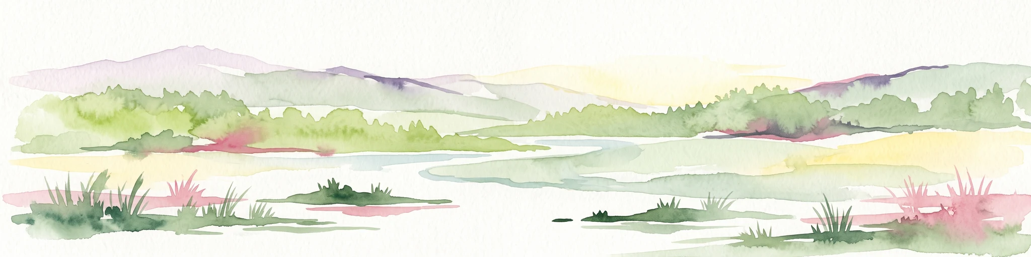
Watercolor painting of a peaceful wetland landscape with a winding stream, soft rolling hills in the background, and wild meadow vegetation in the foreground.
Natural monumentKrálovéhradecký kraj
About 23 km away#4 closest

Northeast

Roudnička a Datlík Natural Monument: Wetland Geography and Protected Landscape Context

A vital ecological refuge within the Královéhradecký landscape.

Roudnička a Datlík protects a rare wetland mosaic of fishponds, reedbeds, and purple moor-grass meadows on the edge of the East Bohemian table. This natural monument remains a key site for regional conservation management, supporting a variety of orchids and waterbirds within an urban-fringe environment. Explore the site's mapped boundaries and its role in protecting lowland biodiversity.

Area
0.297 km²
Established
1988
IUCN
IV
Relief
Lowland
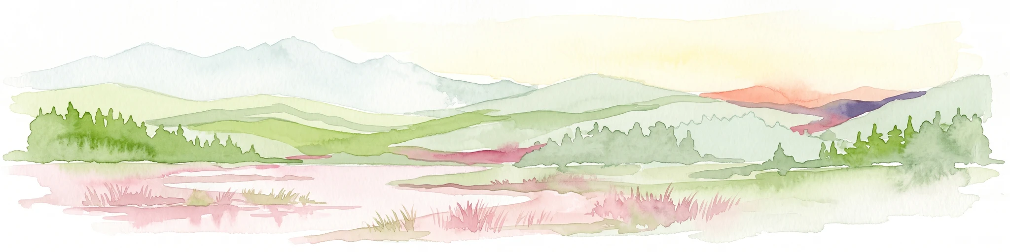
Watercolor painting of a landscape featuring soft green hills, coniferous trees, and low-lying wetland vegetation in shades of pink and green.
Nature reserveKrálovéhradecký kraj
About 25 km away#5 closest

Northeast

Na Plachtě 3 Nature Reserve: Mapped Protected Landscapes in the Královéhradecký kraj

Explore the diverse sandy habitats and protected terrain of this Czech natural monument

Na Plachtě 3 represents a critical protected enclave in the Královéhradecký kraj, characterized by its mosaic of dry heaths, open sand patches, and peat meadows. This lowland site provides essential hibernation grounds for amphibians and invertebrates, maintaining a rich biological profile that contrasts with the urban-adjacent geography of Hradec Králové. Analyze its protected boundaries, geological history, and early successional landscape character through detailed mapping.

Area
0.17 km²
Established
2012
IUCN
IV
Relief
Lowland
A horizontal watercolor illustration depicting a soft, rolling landscape with clusters of green trees against a pale, light-colored background.
Nature reserveCzechia
About 25 km away#6 closest

Northeast

Na Plachtě Nature Reserve: Mapped Wetlands and Conservation Geography in Czechia

Urban-edge wetland mosaic with ponds and peat meadows

Located in eastern Bohemia, the Na Plachtě nature reserve encompasses a 39-hectare landscape of ponds, marshland, and sandy patches. This important Natura 2000 protected area offers a deep look into specialized amphibian and insect habitats, maintained through active management and community-led conservation efforts.

Area
0.388 km²
Established
2013
Scope
Terrestrial
Water
Major water bodies
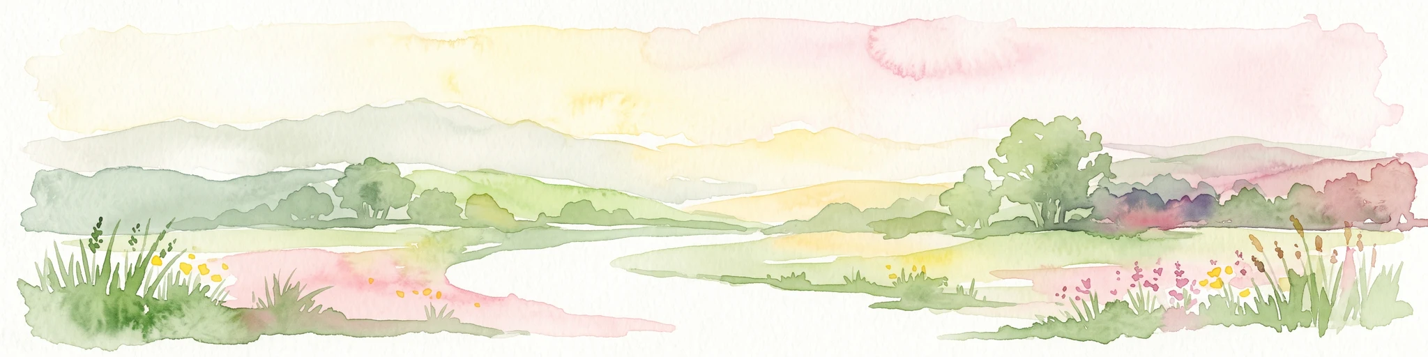
A soft watercolor painting showing a quiet pond landscape with grassy banks, reeds, and distant trees against a pale background.
Nature reservePardubický kraj
About 34 km away#7 closest

Southeast

Ratajské rybníky Protected Nature Reserve: Highland Wetland Geography and Mapped Boundaries

A core wetland refuge for rare flora and fauna in the Pardubický kraj region

The Ratajské rybníky reserve represents a vital highland wetland ecosystem characterized by its three connected fishponds and surrounding quaking bogs. This mapped protected area provides an essential habitat for endangered butterfly populations, the rare moss Hamatocaulis vernicosus, and dense amphibian breeding grounds, set against the backdrop of the forested Železné hory mountain ridge.

Established
1990
IUCN
IV
Relief
Upland
Climate
Temperate
Natural monumentKrálovéhradecký kraj
About 34 km away#8 closest

North

Veselský háj Natural Monument: Geographic Boundaries and Protected Landscape Context

Lowland forest and wetland mosaic in the Czech Republic

Veselský háj stands as a key natural monument in the Královéhradecký kraj region; characterized by its well-preserved oak-hornbeam woodland and diverse botanical assemblages. The site offers a window into the structure of Bohemian lowland ecosystems, where rare species like the Siberian iris and violet helleborine thrive within a matrix of ancient forest and open water. Explore the boundaries and topographic features of this significant protected terrain.

Area
442.71 km²
Established
1998
IUCN
III
Relief
Lowland

Common questions about visiting, size, designation, and location context for Meandry Struhy

Meandry Struhy FAQs for park facts, access, geography, and protected area context

Find quick answers about Meandry Struhy, including protected-area facts, park geography, trail and visitor context, and how the park fits into its surrounding country and regional landscape.
MoriAtlas Explorer

Continue Your Protected Areas Search Across the Global Atlas

Deepen your exploration by continuing the structured search for national parks and protected areas worldwide. Utilize the comprehensive filtering capabilities to compare different conservation landscapes and refine your understanding of global park geography. Discover more about the distribution and characteristics of protected natural areas.

Global natural geography