
Why Miskito Cays stands out
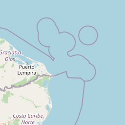
The Miskito Cays are best known for their combination of Caribbean coral reefs, seagrass meadows, mangrove-lined cays, and white sand beaches set in a remote binational maritime setting. The archipelago is particularly recognized for its ecological richness, its importance as a seabird and coastal bird habitat, and its role as one of the largest and least disturbed coastal wetland complexes along the Caribbean coast of Central America. The cays also stand out for their deep connection to the broader Moskitia region, a culturally and ecologically distinct corridor that includes indigenous Miskito communities, extensive coastal wetlands, and some of the most intact tropical forest and marine ecosystems remaining in the Caribbean basin.
Miskito Cays history and protected-area timeline
The modern protection history of the Miskito Cays began in 1991, when the Nicaraguan portion of the archipelago was formally designated a protected area under the name Miskito Cays Biological Reserve. This made the cays one of 78 protected areas within Nicaragua's national system and recognized their ecological value at a national level.
In 2001, the significance of the area was elevated internationally when the cays, together with an adjoining stretch of the mainland coast, were inscribed to the Ramsar List of Wetlands of International Importance under the official title Cayos Miskitos y Franja Costera Inmediata. The designation acknowledged the area as one of the most important wetland complexes in the Central American Caribbean, combining marine, estuarine, and coastal habitats within a single protected site.
Subsequently, the Miskito Cays and the adjacent mainland were recognized by BirdLife International as an Important Bird Area, further reinforcing the conservation profile of the region. Together, these designations reflect a layered protection framework in which national reserve status is supported by international recognition for both wetland and bird values.
Miskito Cays landscape and geographic character
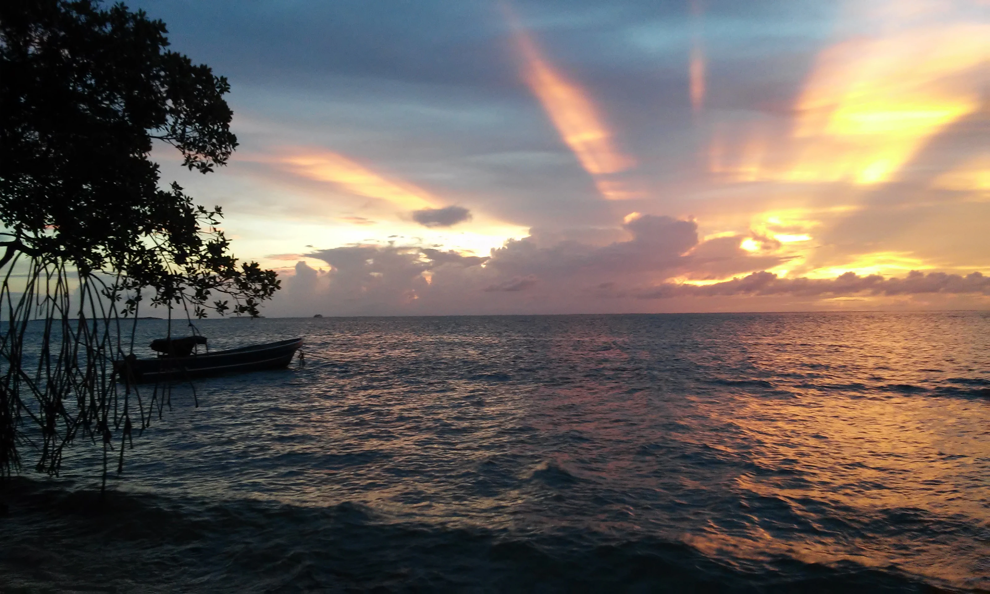
The physical landscape of the Miskito Cays is defined by low-lying marine landforms rising only slightly above sea level, set against a backdrop of open Caribbean waters. The archipelago is built from a combination of coral reefs, sand cays, seagrass-covered shoals, and small vegetated islets, with most of the visible terrain sitting just above the waterline. The result is a delicate, shallow-water environment where the boundary between sea and land is constantly reshaped by tides and currents.
The largest cay, Cayo Miskito or Cayo Mayor, anchors the archipelago with a land area of approximately 37 square kilometers. Around it lie smaller formations such as Maras Cay, Nasa Cay, and Morrison Denis Cay, each surrounded by reef structures and fringed by white sand beaches. The shoreline of these islands is shaped by wave action, reef breakwaters, and the accumulation of calcareous sand, giving them a classic Caribbean low-island character.
Behind the cays, the adjacent mainland coast contributes an equally important part of the system's landscape. This coastal fringe, included within the wider Ramsar designation, brings estuaries, mangrove stands, and tidal channels into the same ecological frame as the offshore cays. The combined effect is a landscape where ocean, reef, cay, estuary, and coastal wetland form a continuous gradient rather than separate zones.
Miskito Cays ecosystems, habitats, and plant life
Ecologically, the Miskito Cays sit at the intersection of three highly productive habitat types: coral reef systems, seagrass meadows, and mangrove-dominated estuarine and coastal environments. This combination creates a layered productivity structure typical of healthy Caribbean coastal ecosystems, in which nutrients generated in one habitat support the others, from benthic reef communities to juvenile fish populations in the seagrass beds.
Coral reefs in the area are associated with sand cays that have built up over long periods through the accumulation of reef-derived sediments. Seagrass beds cover large portions of the shallow subtidal zone, providing feeding grounds for marine herbivores and habitat for a wide range of invertebrates and juvenile fish. These habitats also serve as nursery areas for species that later move onto the reefs or out into open water.
The system's estuarine dimension adds a further layer of ecological complexity. Where rivers and coastal drainages from the mainland meet the sea, they create brackish environments that support mangrove forests, salt-tolerant vegetation, and rich microbial communities. Together, these elements make the Miskito Cays a textbook example of an interconnected coastal ecosystem, where the health of the reefs, cays, seagrass beds, and coastal wetlands is tightly linked.
Miskito Cays wildlife and species highlights
The waters and islands of the Miskito Cays support a wide range of marine and bird life typical of the western Caribbean. Seagrass beds and reefs provide habitat for reef fish, invertebrates, sea turtles, and other marine species, while the cays themselves serve as nesting, roosting, and feeding sites for coastal and seabird populations. The mainland fringe included in the broader protected designation adds estuarine and mangrove habitats that support additional bird, fish, and crustacean communities.
The recognition of the area as an Important Bird Area by BirdLife International reflects the importance of the cays and adjacent coast for resident and migratory bird species. The combination of open sea, reef platforms, vegetated islands, and coastal wetlands provides multiple habitat niches in close proximity, allowing different species to occupy reef, shoreline, and interior island environments within a relatively small geographic footprint.
Beyond birds, the broader Moskitia region that surrounds the cays is known for its rich fauna, including populations of marine turtles that nest on sandy beaches, and coastal and estuarine species tied to mangrove and seagrass systems. The relative isolation and low level of large-scale development in the area have helped preserve this wildlife profile, making the cays a regionally significant site for biodiversity conservation.
Miskito Cays conservation status and protection priorities
The conservation profile of the Miskito Cays rests on three overlapping layers of recognition: national reserve status, international wetland protection, and global bird conservation importance. Declared a protected area in 1991 as the Miskito Cays Biological Reserve, the Nicaraguan portion of the archipelago has long been part of the country's formal protected area system.
The 2001 inscription of Cayos Miskitos y Franja Costera Inmediata as a Ramsar site extended this protection to a broader zone that combines offshore reefs and cays with a strip of adjacent mainland coast. The Ramsar designation places the area within a global framework for the conservation of wetlands of international importance, particularly those that support waterbirds, coastal biodiversity, and ecological connectivity between marine and terrestrial systems.
Recognition as an Important Bird Area by BirdLife International adds a third layer, focusing on the site's value for bird populations and reinforcing the connection between the cays and the larger Moskitia landscape. Together, these designations help anchor conservation efforts in a region where pressures from coastal development, fisheries, and changing land use on the mainland remain a concern.
Miskito Cays cultural meaning and human context
The Miskito Cays are closely tied to the Moskitia, one of the most culturally distinctive regions in Central America, which extends across eastern Honduras and the Nicaraguan North Caribbean Coast Autonomous Region. Indigenous Miskito communities, along with Afro-descendant and Creole populations, have shaped the cultural identity of this coast, and the cays are part of the broader territory they have historically inhabited and used.
The region's name derives from the Miskito people, whose presence along the Caribbean coast predates colonial-era borders. The cays are part of the ecological and cultural landscape upon which these communities have traditionally relied for fishing, small-scale movement between coastal settlements, and connection to offshore resources. The binational administrative setting of the cays reflects this deeper cultural continuity across modern political boundaries.
Recognizing this cultural dimension is essential to understanding the Miskito Cays as more than a purely natural site. The protected status of the area sits within a region where indigenous land rights, traditional livelihoods, and conservation initiatives increasingly intersect, and where local communities remain key stakeholders in the future of the archipelago.
Top sights and standout views in Miskito Cays
The Miskito Cays stand out for the unusual combination of ecological, geographic, and cultural features packed into a relatively small Caribbean archipelago. The system unites coral reefs, seagrass meadows, mangrove estuaries, white sand beaches, and vegetated islets within a single, largely intact coastal complex, making it a strong example of interconnected Caribbean marine ecology.
Equally notable is the area's layered protection framework. National reserve status in Nicaragua, Ramsar recognition for the wider coastal zone, and Important Bird Area status from BirdLife International together confirm the cays as a site of both national and international conservation significance. The binational nature of the archipelago, shared between Honduras and Nicaragua within the Moskitia region, adds a further dimension that distinguishes the Miskito Cays from many other Caribbean protected areas.