
Why Montes del Queguay Managed Resource Protected Area stands out
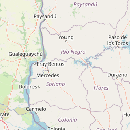
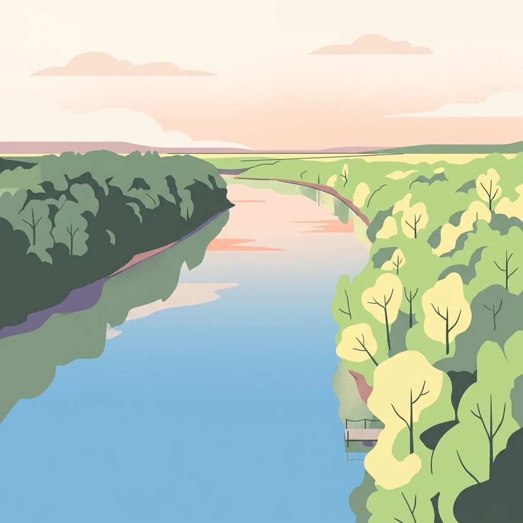
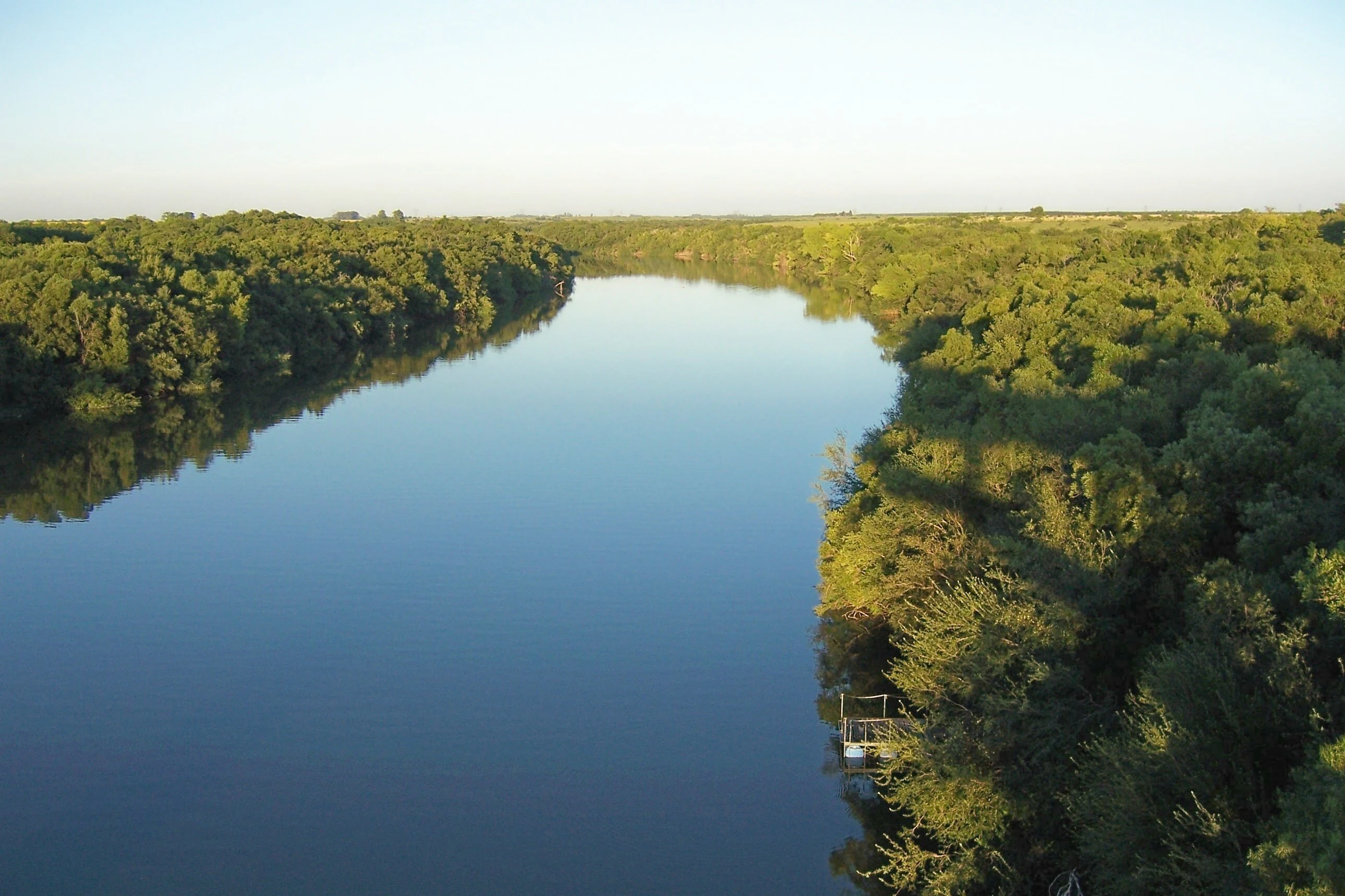
Montes del Queguay is best known for protecting one of Uruguay's largest remaining natural forest masses, a diverse native woodland standing out in a country defined largely by grasslands. The forest occupies a broad floodplain at the meeting of two rivers, where slow drainage creates a mosaic of woodland, marshes, lagoons, and wet grasslands rather than a uniform block of trees. Beyond its scale, the protected area is recognized for the ecological contrast between accessible lowlands and more intact primary forest stands. The presence of primary gallery forest, secondary forest regrowth from historical clearing, and extensive associated wetlands gives the area an unusually layered ecological profile within Uruguay.
Montes del Queguay Managed Resource Protected Area history and protected-area timeline
The history of protecting the Queguay forests stretches back to the mid-twentieth century. In 1949, residents of the town of Guichón promoted the idea of formally protecting the area known as "Rincón de Andrés Pérez." That year, council member and writer Adolfo Mac Ilriach presented an expropriation project to the Junta Departamental de Paysandú, drafted by Dr. Alberto D. Roldán, with the goal of creating a center for the conservation of native flora and fauna.
Despite this early momentum, it took decades for the State to act. In 1994, through article 116 of Law 16462, the area was included as a protected area, and management was entrusted to the Dirección Nacional de Medio Ambiente (DINAMA). The momentum grew further in October 2006, when multiple civil society organizations and local institutions, including Creativos, the Asociación Conservacionista Uruguaya de Ornitología (ACUO), the Junta Local de Guichón, the Intendencia de Paysandú, and CEUTA, jointly requested inclusion of the "Rincón de Pérez" in SNAP.
Their work culminated on 25 November 2014, when, through Executive Decree 343/014, the area was formally integrated into SNAP as a managed-resource protected area, giving the Queguay forests long-elusive institutional protection.
Montes del Queguay Managed Resource Protected Area landscape and geographic character
The landscape of Montes del Queguay is defined by an expansive floodplain at the confluence of two rivers. The terrain is remarkably flat, with very low slope, which produces the area's signature hydrological pattern: the plain fills rapidly during high-water events and drains slowly afterward. Sediments carried from higher ground have accumulated here over time, producing fine, silty, clay-rich soils, with a notable presence of expansive clays such as montmorillonite. The probable tectonic origin of the basin helps explain the broad, low-lying character of the plain.
Within this plain, varied landscape features create a complex mosaic. Natural levees rise above the floodwater. Islands dot the river system. Permanent and semi-permanent lagoons appear at the edges of the channels. Marshes, or bañados, occupy lower zones, while pajonales (tall-grass wetlands) mark transitional ground. Where minor elevations exist, quebrada-type forest and park-like forest emerge, breaking the flatness of the plain. A network of streams, including the Guayabos, Buricayupí, Sauce del Queguay, Capilla Vieja, Juncal, and Ñacurutú Grande, feeds into the principal rivers.
The elevated areas, never flooded except under extreme conditions, form the third landscape unit. Though smaller in extent, they integrate the entire protected area into a coherent mosaic of forest, wetland, and water, with the slow-draining floodplain at its center.
Montes del Queguay Managed Resource Protected Area ecosystems, habitats, and plant life
Ecologically, Montes del Queguay represents a convergence of riverine, wetland, and forest ecosystems within Uruguay's predominantly grassland northwest. Three environmental units, lowlands, riparian forest, and higher ground, combine to create distinct habitats within a small area. The lowlands are defined by permanent saturation, hosting bañados, pajonales, lagoons, and the watercourses themselves.
The riparian forest, or monte ribereño, contains both hydrophilic and mesophilic species, with the most inaccessible zones preserving primary forest in mature, fustal condition. In more accessible sections, historical clearing during the 1930s and 1940s produced secondary forest stands that differ structurally and compositionally from the original woodland. This combination of primary and secondary forest within a single system gives the area substantial conservation value.
The higher lands, flooded only in extreme events, complete the ecological structure, functioning as a transitional margin between the floodplain forest and the surrounding northwestern prairies. The slow flood dynamics may also play a role in the recharge of the Guaraní Aquifer, linking the area's forests and wetlands to a much broader regional hydrological system.
Montes del Queguay Managed Resource Protected Area wildlife and species highlights
Wildlife information in the source material is limited, but the area's ecological character and conservation designation suggest notable importance for native fauna, particularly birdlife. The presence of the Asociación Conservacionista Uruguaya de Ornitología among the organizations that promoted the area's inclusion in SNAP underscores the recognized value of the Queguay forests and wetlands as habitat for native bird species.
The mosaic of primary forest, secondary forest, lagoons, marshes, and grasslands creates varied habitat conditions within a single protected area. Wetland-associated fauna are likely supported by the bañados, pajonales, and permanent lagoons, while the riparian forest offers cover and food resources for forest-dependent species. The combination of stable high-ground forest and seasonally flooded lowlands provides ecological gradients that strengthen the area's relevance for native wildlife within Uruguay.
Montes del Queguay Managed Resource Protected Area conservation status and protection priorities
Conservation at Montes del Queguay is built around preserving the natural dynamics of a floodplain-forest system that is exceptional in Uruguay. The primary objective is to maintain the character of the landscape and its flooding regime, protect one of the country's largest forest masses, and restore the area's ecological attributes where they have been altered.
Alongside strict ecological goals, the protected area emphasizes regional development. Sustainable tourism and carefully managed productive activities are encouraged within the broader delimited area, with the explicit aim of reducing pressure on the floodplain itself. This recognized that long-term conservation of such a large and ecologically sensitive area requires engaging the surrounding communities and economy.
The managed-resource category reflects this balance, separating a core protection area of around 19,969 hectares from an adjacent zone of roughly 23,441 hectares included in the total delimitation. Formal recognition came in November 2014, giving the area national-level protection status and embedding it within Uruguay's SNAP framework.
Montes del Queguay Managed Resource Protected Area cultural meaning and human context
Montes del Queguay carries a strong local identity rooted in the small towns of western Paysandú department. The early twentieth-century campaign led by residents of Guichón to protect the "Rincón de Andrés Pérez" established a long tradition of local civic engagement around the forest. Council member and writer Adolfo Mac Ilriach and jurist Alberto D. Roldán were central figures in transforming community sentiment into formal proposals.
Later decades saw collaboration between conservation organizations, local government, and national authorities, anchoring the protected area in a culture of joint management between civil society and the State. This regional engagement remains a defining part of the park's identity, linking ecological conservation to local heritage and regional development.
Top sights and standout views in Montes del Queguay Managed Resource Protected Area
One of the largest remaining native forest complexes in Uruguay, set within a slow-draining river floodplain. A habitat mosaic of primary riparian forest, secondary forest, marshes, lagoons, and grasslands within a single protected area. A long history of local civic engagement that ultimately led to national-level protection through SNAP in 2014. A managed-resource model that couples strict ecological protection of the floodplain with sustainable activity in its surrounding zone. Potential hydrological relevance for the regional Guaraní Aquifer system due to the floodplain's recharge dynamics.
Best time to visit Montes del Queguay Managed Resource Protected Area
Source material does not provide specific seasonal visiting guidance. Because the landscape is defined by flooding cycles, periods of low water may expose broader terrestrial and forest areas, while higher-water periods can enhance wetland character, lagoons, and bird habitat. Travellers interested in forest scenery and woodland flora may favor drier seasons, while those drawn to wetland and aquatic ecosystems may find conditions more striking during wetter phases.