
Mori Atlas logo
Nature reserveMoosheide

A distinct habitat mosaic of ancient sand dunes, open heathland, and groundwater-fed stream valleys.

Moosheide Nature Reserve: Mapped Protected Landscapes and Inland Dune Geography in Nordrhein-Westfalen

(Naturschutzgebiet Moosheide)

Moosheide represents a vital protected area in Nordrhein-Westfalen, defined by a dramatic contrast between sun-exposed inland sand dunes and humid, spring-fed valley bottoms. Formed at the end of the last ice age, this reserve features a complex micro-topography of light pine woodland, juniper stands, and rare wetland meadows. It serves as a significant ecological refuge for specialized reptiles, amphibians, and migratory birds within the broader Senne landscape.

nature reserveheathlandinland dunespine forestspring valleysSenne landscape
A flat-style digital illustration showing a valley floor with trees, a river leading to a waterfall, and mountain peaks under a sun.

Moosheide

Nature reserve

Park overview

Structured park overview, official facts, and landscape profile for Moosheide Nature Reserve

Moosheide Nature Reserve park facts, protected area profile, and essential visitor context

Review the core facts for Moosheide Nature Reserve, including designation, size, terrain, visitor scale, habitats, and operating context in one park-focused overview.

About Moosheide Nature Reserve

Moosheide is a formally protected nature reserve in North Rhine-Westphalia, Germany, situated on the western edge of the Senne region, one of the most distinctive sand-and-heide landscapes in northwestern Germany. Although modest in size at roughly 442 hectares, the reserve brings together several contrasting environments within a single compact area: inland sand dunes built up at the end of the last glacial period, open heathland, sandy dry grasslands, light pine forest, juniper thickets, and damp spring-fed valley systems with wet meadows and small streams. Together these habitats form a vivid cross-section of the upper Senne landscape, a setting shaped by Quaternary geology and centuries of land use.

Administratively the site spans two districts. About 282 hectares in the municipality of Hövelhof, in the district of Paderborn, and roughly 161 hectares in the municipality of Schloß Holte-Stukenbrock, in the district of Gütersloh, are covered by the protection. A small additional parcel of less than a hectare is earmarked as an expansion area. The two sections are managed under the official codes PB-027 and GT-017, but they are treated as a single integrated reserve, recognizing that the ecological value of the site depends on maintaining the connection between the dunes, the heath, and the valley water systems.

The reserve encompasses the seeping springs (Sickerquellen) that feed the headwaters of the River Ems, as well as sections of the Holtebach. These gently flowing groundwater valleys contrast sharply with the dry surrounding dunes, producing the rare pattern of wet meadows and dune ridges in close proximity that makes the area ecologically distinctive. Most of the reserve lies on sandy Quaternary substrate, supporting plant communities adapted to nutrient-poor, acidic, often drought-stressed soils, while the wetter zones nurture plants and animals typical of species-rich lowland spring mires.

On the western side, the reserve borders the large Senne military training area; on the northern side lies the former Stalag VI K (326), a World War II prisoner-of-war camp site that today houses the Erich Klausener Police Academy. Although the reserve itself is defined by natural values, this surrounding land-use context has helped keep the wider Senne landscape comparatively undeveloped. A nature trail with 21 stations and an accompanying brochure have made the reserve accessible to visitors since 1994, supporting its role as both a conservation site and a place for environmental education.

Quick facts and research context for Moosheide Nature Reserve

Moosheide is a German Naturschutzgebiet, a strict nature reserve under the country's federal state protection framework, classified by IUCN as Category IV (Habitat/Species Management Area). It lies in North Rhine-Westphalia, divided between the districts of Paderborn and Gütersloh. The protected area covers about 442 hectares, of which roughly 282 hectares are in Hövelhof and about 161 hectares are in Schloß Holte-Stukenbrock. The reserve is formally listed under the codes PB-027 (Paderborn part) and GT-017 (Gütersloh part). It protects the upper Senne landscape, with some of the oldest sand dunes in northwestern Germany, and includes the headwaters (Sickerquellen) of the River Ems and tributaries such as the Holtebach. Parts of the Gütersloh area were designated in 1974, the Paderborn area in 2004, and the combined reserve was institutionally consolidated as a cross-district area in 1994, with an interpretive nature trail established the same year.

Protection and recognition

Examine documented designation records and management frameworks for Moosheide.

Moosheide Protection Status and Terrestrial Conservation Scope

Moosheide maintains a documented terrestrial protection scope without imported international recognition sources or transboundary status. Review structured conservation records and official designation frameworks associated with this protected natural area.

Protection details

Protection scope
Terrestrial
Transboundary protection
No
Park context

Deeper park guide and search-rich context for Moosheide Nature Reserve

Moosheide Nature Reserve history, landscape, wildlife, and travel context

Explore Moosheide Nature Reserve through its history, landscape character, ecosystems, wildlife, conservation priorities, cultural context, and seasonal travel timing in a structured park guide built for atlas discovery and search intent.

Why Moosheide Nature Reserve stands out

Moosheide is best known for its geomorphologically striking upper-Senne landscape, where ancient inland sand dunes, sandy dry grasslands, open heath, and light pine forest sit alongside groundwater-fed stream valleys and wet meadows. It is particularly appreciated for preserving a regional heide character that has largely vanished from the surrounding countryside, including old juniper stands that recall the original heathland vegetation. Beyond its dramatic scenery of dune ridges dissecting wet valley bottoms, the reserve is recognized for the unusual juxtaposition of dry and humid habitats within a small area. This combination supports a high diversity of rare bird species, reptiles, amphibians, and specialized heide plants, making it a textbook example of a habitat- and species-focused protected area in the Westphalian lowlands.
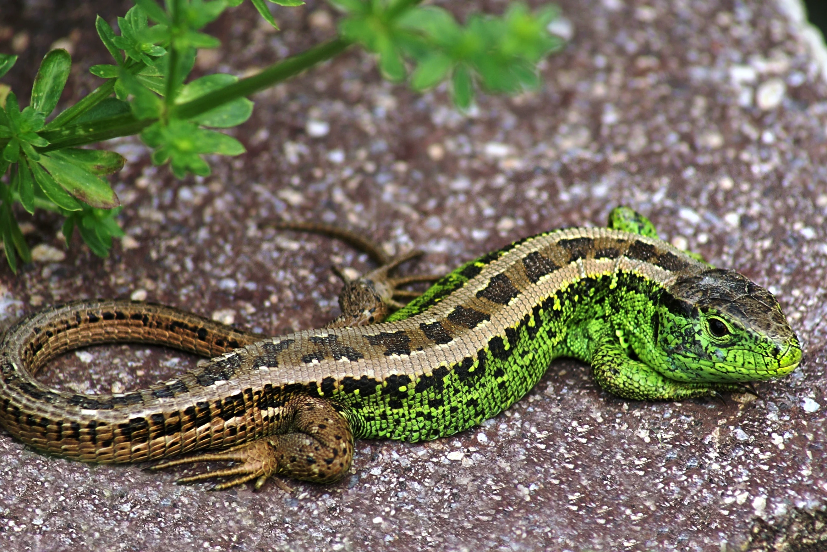
A male sand lizard with a bright green head and upper body and a brown tail with dark spots resting on sandy ground next to green leafy plants.
Male sand lizard resting on sandy ground near green vegetation in the Moosheide nature reserve.

Moosheide Nature Reserve history and protected-area timeline

Protection of the area around Moosheide has been built up in stages. The western portion of the reserve, lying in what is now the district of Gütersloh, was designated as a Naturschutzgebiet in 1974. The eastern and larger portion, in the district of Paderborn, followed in 2004. In 1994, the combined area was institutionally consolidated as a cross-district reserve under unified management.

The current landscape is the product of both natural history and human activity. The dunes were formed at the end of the Weichselian glaciation, beginning roughly 10,000 years ago, as wind shaped sand left behind by glacial processes. Heath and dry grassland dominated the area historically, and old juniper plants still survive from that vegetation era. In the mid-19th century, widespread afforestation with pine transformed much of the open heath into light pine woodland, but conservation management has worked to keep open sand and heath habitats present alongside the forest.

To preserve these open habitats and prevent further scrub encroachment, the reserve uses Senner horses, a hardy traditional grazing breed associated with the Senne landscape, on certain sections of the protected land. Their grazing helps maintain the open character of the heath and dry grasslands that the reserve was established to protect.

Moosheide Nature Reserve landscape and geographic character

The defining physical feature of Moosheide is its ancient dune system. The sand dunes found within the reserve are considered among the oldest in northwestern Germany, having started to form at the close of the last ice age around the end of the Weichselian glaciation, roughly 10,000 years ago. Wind action on the loose Quaternary sands built up rolling dune ridges that still shape the terrain today.

The reserve sits on the western fringe of the larger Senne landscape, near the active Senne military training area, and its relief reflects the classic Senne topography of sandy uplands dissected by shallow valley systems. In the lowest parts of these valleys, groundwater emerges as seeping springs, feeding the headwaters of the River Ems and small tributaries such as the Holtebach. These spring-fed valleys carry cool, clean water through narrow strips of wet meadow, creating a striking contrast with the dry, sun-exposed dunes above them.

The combination of dry dune ridges, sandy flats, light pine woodland on former heathland, juniper scrub, and humid valley bottoms gives the reserve a notably varied micro-topography. Although elevations are modest, the alternation of dry and wet, open and wooded, sun-exposed and sheltered zones within a short distance is the reserve's most distinctive landscape trait.

Moosheide Nature Reserve ecosystems, habitats, and plant life

Moosheide preserves a mosaic of habitats characteristic of the upper Senne. The most visible habitats are the open heathlands, sandy dry grasslands, and inland dunes, where low-growing, drought-adapted plant communities thrive on nutrient-poor sandy soils. Mid-19th-century afforestation converted much of the original heath into light pine forest, but patches of open heath and old juniper stands remain, recalling the area's pre-afforestation vegetation. These open sandy habitats are important refuges for specialist heathland species that have largely disappeared from the surrounding agricultural matrix.

In contrast, the valley bottoms contain a very different ecological world. The seeping springs and small streams that emerge from the dune slopes support wet meadows, moist grassy hollows, and riparian vegetation along the headwaters of the Ems and the Holtebach. This juxtaposition of dry continental-style dune habitats with groundwater-rich valley mires within a single area is the ecological signature of the reserve.

Notable plant species documented in the reserve include clubmoss, hairy greenweed, nodding wintergreen, large yellow bee orchid-like species such as Saat-Hohlzahn, and scattered old juniper. Pine dominates the wooded areas, but the woodland is kept light and open enough to retain much of its heathland character. The combination of habitats supports an unusually high species turnover across a small spatial scale.

Moosheide Nature Reserve wildlife and species highlights

Wildlife is one of Moosheide's strongest assets. Detailed surveys have recorded 99 bird species within the reserve, of which 39 are red-listed species or species on the precautionary warning list for North Rhine-Westphalia, indicating the reserve's disproportionate importance for threatened fauna.

Characteristic bird species include the Eurasian kingfisher, which follows the small streams; the woodlark, which favors the open heathland with scattered trees; and the common whitethroat, a typical scrub and heath edge species. Sand martins find nesting habitat in the sandy exposures of the dune system. Together these species illustrate the reserve's role in supporting birds that depend on the open heath- and dune-forest mosaic.

Reptiles and amphibians are also a strong feature. The reserve supports notably the sand lizard, which favors the warm, dry, sunny dune slopes, and the natterjack toad, a regionally rare amphibian that depends on loose sandy soils and shallow breeding pools. The presence of these species underlines how the contrast between dry dunes and wet valley systems creates habitat for very different faunal communities side by side.

Moosheide Nature Reserve conservation status and protection priorities

As a designated Naturschutzgebiet under North Rhine-Westphalian state law, Moosheide carries Germany's strictest standard of habitat protection for non-national-park reserves. It is classified by IUCN as Category IV, a Habitat/Species Management Area, meaning its primary objective is the maintenance, restoration, or development of particular habitats and species rather than broader ecosystem protection.

The reserve's conservation value lies precisely in its combination of habitats: ancient dunes, dry heath, light pine forest, juniper scrub, and groundwater-fed spring valleys with wet meadows. Protecting this mosaic secures refuges for red-listed birds and specialist reptiles and amphibians, while also safeguarding the headwaters of the Ems, one of northwestern Germany's larger rivers. The seeping springs within the reserve are both ecologically and hydrologically important.

Active management is part of the conservation approach. Traditional grazing with Senner horses is used on selected sections to keep the heath and sand grassland open, and the surrounding Senne military training area has historically limited intensive land use across a wider area, indirectly benefiting the reserve's ecological integrity. Since 1994, a guided nature trail with 21 stations has supported public understanding of these conservation values.

Moosheide Nature Reserve cultural meaning and human context

Moosheide lies within the wider Senne cultural landscape, a region long associated with extensive grazing traditions. The reserve currently uses Senner horses, a hardy local breed with deep historical roots in the Senne, to graze selected parts of the area and keep the heath open. This grazing tradition is one of the few strong cultural threads tied to the site's management today.

The northern edge of the reserve adjoins the site of the former Stammlager VI K (326), a World War II prisoner-of-war camp, which today houses the Erich Klausener Police Academy. While this is not a feature of the protected nature reserve itself, the historical land use around the broader Senne area has shaped the buffer of low-intensity use that surrounds the dunes, heath, and wet valleys of Moosheide.

Top sights and standout views in Moosheide Nature Reserve

Moosheide stands out for the coexistence of ancient inland dunes, seminatural heath, and groundwater-fed spring valleys within a single protected area. The reserve harbors some of the oldest sand dunes in northwestern Germany, formed since the end of the last ice age, and still retains old juniper plants that document the area's original heathland character.

The reserve is also notable for its species richness relative to its size, with 99 recorded bird species, 39 of them red-listed or on the warning list in North Rhine-Westphalia, alongside specialist wildlife such as sand lizards and natterjack toads. A long-established interpretive trail with 21 stations makes this ecologically rich setting accessible to visitors.

Monthly climate preview

Long-term NASA power climatology records for temperature and precipitation patterns

Moosheide Climate Normals and Measured Monthly Temperature Rhythms

Representative coordinate records outline Moosheide average temperatures and monthly precipitation volumes measured across a multi-year period. Full twelve-month data profiles examine complete seasonal baseline distributions for deeper geographical context.
Annual mean9 °C
1 °C18 °C
Jan
Feb
Mar
Apr
May13°
Jun16°
Jul18°
Aug18°
Sep14°
Oct
Nov
Dec
Warmest month
July

18.1 °C

Coolest month
January

0.5 °C

Wettest month
December

2.6 mm/day

Driest month
April

1.6 mm/day

Park location guide

Geography guide, regional context, and park location map for Moosheide Nature Reserve

Moosheide Nature Reserve park geography, regions, and map view in Germany

Understand where Moosheide Nature Reserve sits in Germany through a broader geographic reading of the surrounding landscape, nearby location context, and its mapped position within the national park landscape.

How Moosheide Nature Reserve fits into Germany

Germany is a federal republic in Western and Central Europe with a population of over 83 million across sixteen constituent states. It is Europe's largest economy by nominal GDP and a major global exporter and importer. The capital is Berlin, and the country borders Denmark, Poland, Czech Republic, Austria, Switzerland, France, Luxembourg, Belgium, and the Netherlands.

Wider geography shaping Moosheide Nature Reserve in Germany

Germany is located in Western and Central Europe, spanning 357,022 km². It borders Denmark to the north, Poland and the Czech Republic to the east, Austria and Switzerland to the south, and France, Luxembourg, Belgium, and the Netherlands to the west. The country has coastlines on the Baltic Sea and North Sea to the north, with the Alps located in the southern region.

Map view of Moosheide Nature Reserve

Use this park location map to pinpoint Moosheide Nature Reserve in Germany, understand its exact geographic position, and read its mapped placement within the surrounding landscape more clearly.

Pigeon | © OpenStreetMap contributors

Location context for Moosheide Nature Reserve

Nordrhein-Westfalen

Explore the terrain, scenery, and habitats of a Westphalian nature reserve.

Moosheide Photos and Visual Guide to Protected Landscapes

Visual records capture the distinctive topography of ancient inland sand dunes, open heathland, and spring-fed stream valleys across Moosheide. Examining these protected habitats provides a clearer understanding of rare wetland ecosystems and sandy grassland environments.

A male sand lizard with a bright green head and upper body and a brown tail with dark spots resting on sandy ground next to green leafy plants.

A wide view of a heathland with low brown and yellow shrubs and grasses, a lone birch tree standing in the middle distance, and a pine forest lining the horizon under a clear blue sky

Park atlas

Compare regional nature reserves and adjacent sandy lowland habitats

Explore Parks Near Moosheide and Surrounding Protected Landscapes

Visitors exploring Moosheide can examine adjacent protected areas across the Senne region to compare similar dune topography and valley ecosystems. Broadening the geographic scope reveals connected conservation landscapes and regional variations in lowland terrain.
A soft watercolor illustration featuring rolling green hills, a small grouping of trees on the right, and open grassy terrain on a white background.
Protected areaNordrhein-Westfalen
About 5.5 km away#1 closest

East

Senne mit Teutoburger Wald: Protected Habitat and Regional Geography Atlas

Heathland and forest ecosystems in North Rhine-Westphalia

This protected area presents a unique geographic profile, merging expansive lowland heath and dune systems with the wooded slopes of the Teutoburg Forest. Its distinct ecological gradient and significant size make it a critical site for habitat conservation, bird protection, and study of transition zones between sandy plains and mountain ridges.

Area
153.597 km²
Established
2001
Relief
Mixed relief
Climate
Temperate
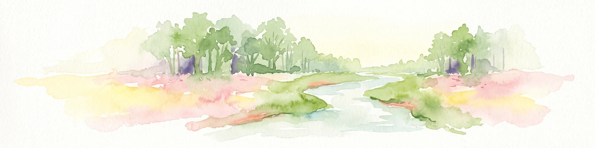
A horizontal watercolor painting showing a small winding river flowing through a lush green forest with soft pink and yellow meadow areas in the foreground.
Nature reserveKreis Gütersloh
About 5.8 km away#2 closest

Northwest

Holter Wald Nature Reserve: Mapping the Protected Woodland and Senne Landscape of Kreis Gütersloh

A major contiguous forest block on the eastern edge of the Westfälische Bucht

Situated in the district of Kreis Gütersloh, Holter Wald is a significant protected area defined by its sandy Senne soils and network of parallel brook valleys. The forest provides a critical lowland habitat for diverse flora and fauna, serving as a rare, large-scale woodland anchor within a largely agricultural region. Explore the terrain characteristics and ecological structure of this key North Rhine Westphalia site.

Area
6.13 km²
Established
2008
IUCN
IV
Relief
Lowland
A watercolor painting of a wetland landscape with soft green hills, trees, and a winding waterway.
Nature reserveNorth Rhine-Westphalia
About 6 km away#3 closest

Northwest

Kipshagener Teiche Nature Reserve: A Protected Wetland Sanctuary in North Rhine-Westphalia

Geographic analysis of historic bogs and managed wetland habitats

Kipshagener Teiche is a small but essential nature reserve in the Senne region, characterized by a distinct mosaic of ponds, transitional bog, and wet heath. Originally protected in 1937, the site serves as a vital record of wetland biodiversity and recovery in western Germany. Its varied topography, featuring dune-based pine plantations and swamp forest, offers a precise look at the intersection of conservation and landscape management in a human-influenced region.

Area
0.113 km²
Established
1970
IUCN
IV
Protected landscapeKreis Paderborn
About 9.6 km away#4 closest

Southwest

Landschaftsschutzgebiet Delbrücker Rücken Protected Landscape Map and Regional Context

A rural ridge mosaic in the Kreis Paderborn district

This protected landscape in the Kreis Paderborn district features a characteristic mix of deciduous forests, field hedgerows, and agricultural zones on a gentle Westphalian ridge. Its geographic layout provides a clear example of rural land protection integrated into the local environmental buffer system, showcasing a distinct mosaic of terrain that stretches across the lands north and east of Delbrück.

Area
16.1 km²
Established
1970
Relief
Lowland
Climate
Temperate
Nature reserveNordrhein-Westfalen
About 13 km away#5 closest

Southeast

Lippeniederung zwischen Bad Lippspringe und Mastbruch: A Protected Floodplain Landscape

Nature reserve geography and river valley conservation in Paderborn, Germany.

Lippeniederung zwischen Bad Lippspringe und Mastbruch encompasses a specialized floodplain corridor along the Lippe river. This site highlights the importance of managing small-scale riverine meadows and aquatic transition zones within the broader, heavily used agricultural geography of North Rhine-Westphalia.

Area
1.59 km²
Established
1966
IUCN
IV
Relief
Lowland
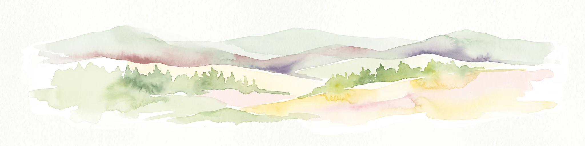
A watercolor painting showing a stylized landscape with gentle, rolling hills in soft green, yellow, and purple tones, with simple evergreen trees in the midground.
Nature reserveNordrhein-Westfalen
About 14 km away#6 closest

East

Hohe Warte Nature Reserve: Sandstone Landscapes of the Teutoburg Forest

Protected heath and woodland mosaic in Nordrhein-Westfalen

Hohe Warte stands as a significant protected nature reserve, encompassing a diverse mosaic of heather, birches, and dry sandstone terrain. This area at the edge of the Teutoburg Forest illustrates the ongoing transition between open pasture landscapes and regenerating woodland. The site provides a valuable look into small-scale habitat management and the geological features shaping the local Nordrhein-Westfalen environment.

Area
0.06 km²
Established
2006
IUCN
IV
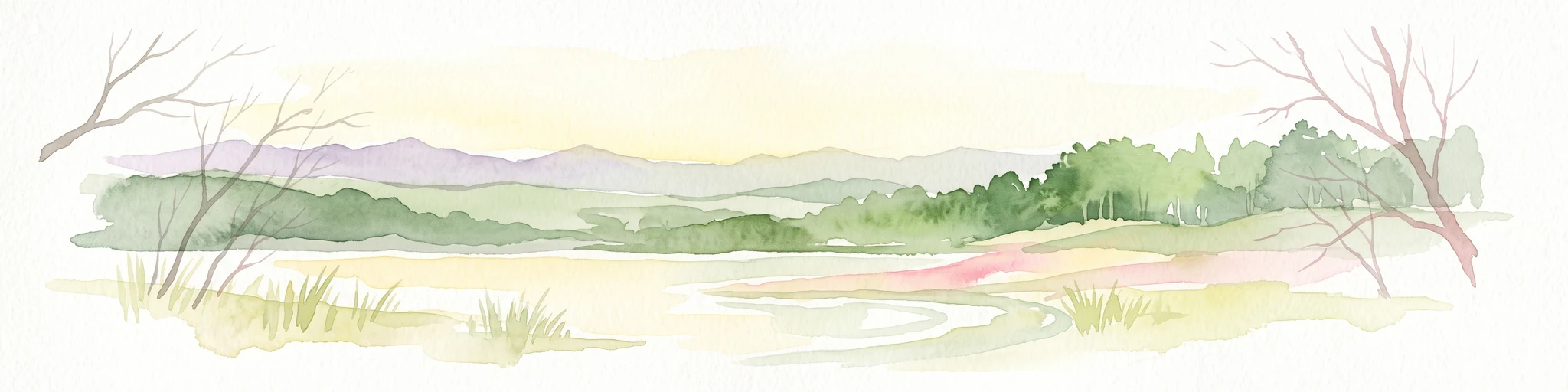
A watercolor painting showing a soft, peaceful landscape with bare trees in the foreground, green trees in the midground, and distant hills under a pale sky.
Nature reserveNorth Rhine-Westphalia
About 14 km away#7 closest

Northwest

Kampeters Kolk Nature Reserve: Geographic Overview and Protected Wetland Boundaries

Senne region heath pond and wetland mosaic in North Rhine-Westphalia

Kampeters Kolk preserves a significant fragment of the historic Senne heath landscape in North Rhine-Westphalia. The reserve centers on a small, artificial pond created by peat extraction, now surrounded by a rich sequence of sedges, reed stands, and willow-alder shrub thickets that provide critical habitats for local amphibian populations.

Area
0.02 km²
Established
1993
IUCN
IV
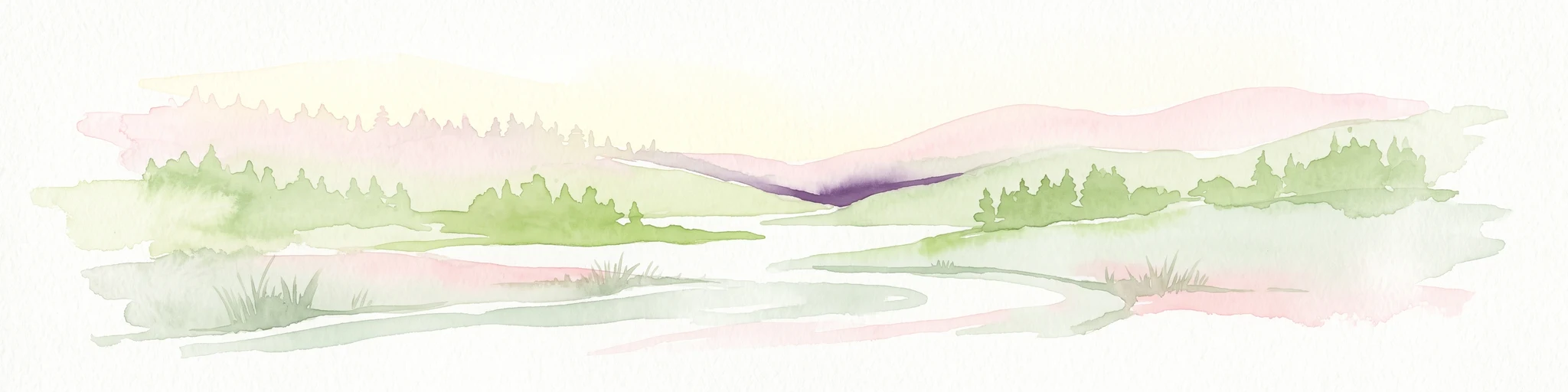
A watercolor painting showing a green landscape with a winding river and distant hills under a light pink sky.
Protected landscapeKreis Paderborn
About 15 km away#8 closest

South

Landschaftsschutzgebiet Fließgewässer und Auen: Regional Protected Landscape Overview

Riverine floodplain corridors and valley habitats in Paderborn

This protected landscape in Kreis Paderborn sustains essential habitat connectivity along river valleys including the Lippe and Beke. Its design features a fragmented network of sixteen sub-areas, showcasing how floodplain vegetation, wet meadows, and riparian corridors function within an urban-adjacent environment.

Area
9.583 km²
Established
1999
Relief
Lowland
Scope
Terrestrial

Common questions about visiting, size, designation, and location context for Moosheide Nature Reserve

Moosheide Nature Reserve FAQs for park facts, access, geography, and protected area context

Find quick answers about Moosheide Nature Reserve, including protected-area facts, park geography, trail and visitor context, and how the park fits into its surrounding country and regional landscape.
MoriAtlas Explorer

Continue Your Protected Areas Search Across the Global Atlas

Deepen your exploration by continuing the structured search for national parks and protected areas worldwide. Utilize the comprehensive filtering capabilities to compare different conservation landscapes and refine your understanding of global park geography. Discover more about the distribution and characteristics of protected natural areas.

Global natural geography