Mori Atlas logo
Park earthquake history

Explore recorded seismic events associated with the plateau landscapes of New South Wales

Historical Earthquake Records and Seismic Activity Catalogue for Morton National Park

This historical catalogue provides a structured overview of earthquakes documented in the vicinity of Morton National Park. Each record includes precise event dates, measured magnitudes, depth profiles, and epicentre distances relative to the park boundaries. The data offers an informative perspective on the regional seismic history surrounding the Shoalhaven River and the Southern Highlands geography.

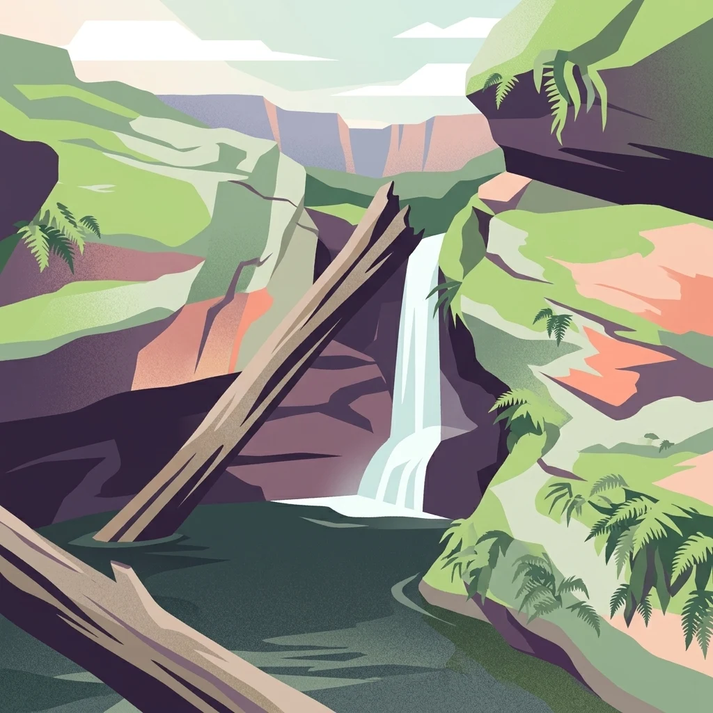
Illustration of a waterfall flowing into a pool surrounded by rocky cliffs and green ferns

Ancient Aboriginal lands protecting dramatic waterfalls and steep gorges in New South Wales

Morton National Park

Morton National Park is a vast protected area spanning nearly 200,000 hectares in the Southern Highlands, South Coast, and Illawarra regions of New South Wales, Australia. Located approximately 170 kilometres south southwest of Sydney, the park encompasses a landscape of flat plateaus dissected by steep gorges, with terrain that tilts gently toward the northeast. The park is renowned for its dramatic waterfalls, including Fitzroy Falls and Belmore Falls, which plunge from the plateau edge into rainforest gullies. The landscape contains part of the Budawang Range and is traversed by the Shoalhaven River in its northern sections. This park holds deep cultural significance for the Yuin people, with archaeological evidence suggesting Aboriginal habitation extending back nearly 20,000 years.

Location
Australia
Park type
National park
Established
1967
Area
1,997.5 km²
Morton National Park Atlas

Review Morton National Park events by place and distance

Search historical earthquake records around Morton National Park

Morton National Park’s catalogue associates reported epicentres with its New South Wales boundary by calculated distance, not through the sandstone plateau, gorges, waterfalls, rainforest, or cultural landscape. Each source-linked record supplies a date, magnitude, depth, locality, and park distance for historical comparison without attributing landscape effects, present danger, or prediction.

Sort by
Magnitude
Location

This page describes catalogued earthquakes associated with the park by epicentre location and distance. It does not establish causation, assess current danger, or predict future earthquakes.

No earthquake records match the current filters

Park atlas

Continue from Morton National Park earthquake data

Discover more protected parks after Morton National Park

Morton National Park's earthquake catalogue forms the final local context before discovery broadens from its plateau, gorge, waterfall, and rainforest landscape to other parks. The following destinations are not linked by terrain, designation, proximity, geology, seismic observations, hazard, risk, or matching atlas coverage.
National parkNew South Wales
Park boundaries overlap#1 closest

Southwest

Budawang National Park: Wilderness Area and Rugged Terrain Map

Discover New South Wales protected landscape geography.

Budawang National Park is recognized for its exceptional wilderness character, defined by the steep topography of the southern Budawang Range. This protected national park features extensive cool temperate rainforests clothing its middle and upper slopes, creating a visually striking and ecologically rich mountain environment. Its rugged terrain, with deep valleys and rocky outcrops, distinguishes it as a remote natural landscape within New South Wales, offering unique habitat pockets and contributing to the region's protected area atlas.

Area
237 km²
Established
1977
IUCN
Ib
Relief
Mountain
National parkNew South Wales
Park boundaries overlap#2 closest

Northeast

Budderoo National Park: Protected Landscape Exploration in New South Wales

Mapping the protected area and its regional geographic context.

Gain a clear understanding of Budderoo National Park as a protected national park situated within New South Wales. This detail page focuses on its mapped geographic features and protected landscape characteristics, providing critical context for atlas-based discovery. Explore the park's position within the broader regional geography of Australia and appreciate its identity as a conservation landscape.

Area
72.19 km²
Established
1986
IUCN
II
Climate
Subtropical
National parkNew South Wales
Park boundaries overlap#3 closest

Northeast

Jerrawangala National Park: Protected Landscape Identity and New South Wales Geographic Context

Explore its mapped terrain and regional protected area distribution.

Jerrawangala National Park stands as a distinct protected natural area within the geography of New South Wales. This resource details its protected landscape character and its position within the broader regional atlas. Users can understand the park's mapped boundaries and its role in conservation landscapes, offering a concrete geographic anchor for exploration. Dive into the specifics of this national park's setting and its contribution to understanding the natural terrain of Australia.

Relief
Upland
Climate
Temperate
Access
Remote access
Scope
Terrestrial
National parkNew South Wales
0 km away#4 closest

Southeast

Meroo National Park: Protected National Park in New South Wales with Mapped Landscape Identity

Explore the protected landscape and geographic context of this national park.

Meroo National Park is a protected national park located in New South Wales, Australia, offering specific geographic context for atlas exploration. This page provides details on its mapped boundaries and its identity as a conservation landscape. Understanding Meroo National Park's place within the regional geography of New South Wales is key to appreciating its protected status and unique natural characteristics, all within a framework designed for structured geographic discovery.

Established
2001
IUCN
II
Relief
Lowland
Climate
Temperate
National parkNew South Wales
0 km away#5 closest

North

Bungonia National Park: National Park Protected Area Geography and Landscape Context in New South Wales

Mapped boundaries and regional terrain of this Australian national park.

Access detailed geographic information for Bungonia National Park, a significant protected area designated as a national park in New South Wales, Australia. This entry focuses on its mapped boundaries, regional landscape context, and how it fits into the wider atlas of protected lands. Understand the park's terrain and geographic significance through structured, map-driven exploration tools.

Area
15 km²
Established
2010
IUCN
II
Relief
Mountain
National parkNew South Wales
0 km away#6 closest

East

Conjola National Park: Mapped Protected Landscape within New South Wales Geography

Explore the park's protected boundaries and regional terrain.

Conjola National Park represents a distinct protected landscape within New South Wales, offering rich opportunities for geographic discovery. As a national park, its mapped boundaries and natural terrain contribute significantly to the regional atlas. This entry provides essential context for understanding the park's protected identity and its contribution to the broader geographic landscape of Australia, facilitating detailed map exploration.

Area
10 km²
Established
1994
IUCN
II
Relief
Lowland
National parkAustralia
0.1 km away#7 closest

Northeast

Bugong National Park: Protected Landscape Identity and Geographic Context in Australia

Discover unique biodiversity, forest habitats, and regional terrain.

Bugong National Park stands as a vital strict nature reserve within Australia's protected lands. Its distinct geography features a plateau below the Cambewarra range and steeply sloping valleys carved by waterways like Bugong Creek and the Shoalhaven River. This protected area is crucial for conserving significant biodiversity, including endemic and threatened species, across its diverse wet and dry forest habitats. For those interested in atlas exploration, Bugong National Park offers a clear example of landscape conservation and protected area geography within New South Wales.

Area
10.22 km²
Established
2001
IUCN
Ia
Relief
Mixed relief
A soft watercolor illustration featuring sparse trees and low-lying scrubland against a hazy, distant horizon.
Nature reserveNew South Wales
0.5 km away#8 closest

Northeast

Cambewarra Range Nature Reserve: Geographic Atlas and Protected Landscape Overview

Escarpment forests and plateau terrain in New South Wales

The Cambewarra Range Nature Reserve acts as a resilient ecological anchor within the Southern Highlands, safeguarding coachwood-dominated rainforests and diverse heath shrublands. As part of a larger network of protected lands, its steep terrain and rocky cliffs provide essential habitat for threatened species while managing regional drainage across the Sydney Basin geological landscape.

Area
16.84 km²
Established
2001
Relief
Highland
Climate
Temperate
MoriAtlas Explorer

Continue Exploring Morton National Park's Geographic Features and Mapped Landscapes

Deepen your understanding of Morton National Park by delving into its specific geographic context and protected landscape characteristics. Discover the mapped terrain, regional significance, and natural features that define this important national park within New South Wales. Continuing your exploration here offers structured insight into its unique atlas presence and the natural heritage it preserves for geographic discovery.

Global natural geography