
Mori Atlas logo
Park earthquake history

Review documented seismic events, magnitudes, and proximity data across the Sawatch Range

Historical Earthquake Records and Seismic Data for the Mount Massive Wilderness in Colorado

This collection provides a comprehensive look at historical earthquake records associated with the geography of Mount Massive Wilderness. Each entry includes data on event dates, recorded magnitudes, and proximity to the wilderness boundary, sourced from geological catalogues. Researchers and visitors can trace documented seismic activity in this high alpine region of the Sawatch Range to gain a deeper perspective on local geological shifts.

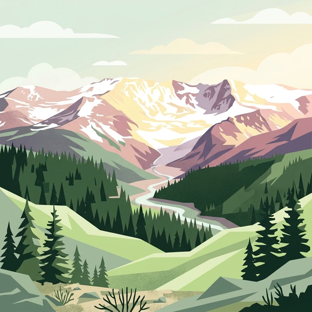
A digital illustration of snow-capped mountains above a pine forest and a winding river valley, featuring a soft, pastel color palette.

A high-alpine wilderness anchored by Colorado's second-highest peak in the Sawatch Range.

Mount Massive Wilderness

Mount Massive Wilderness is a federally designated wilderness area in the Sawatch Range of central Colorado, in Lake County near the historic mining town of Leadville. It surrounds Mount Massive, the second-highest summit in Colorado, and protects a substantial block of high-alpine terrain that includes forested valleys, subalpine basins, and rugged ridges approaching the crest of the Continental Divide. Managed largely as part of the San Isabel National Forest, with a smaller portion tied to the Leadville National Fish Hatchery, the wilderness preserves an environment defined by elevation, exposed rock, and seasonal snow cover. It is also notable as the only federally designated wilderness area within the National Fish Hatchery System, giving it an unusual institutional identity among U.S. wilderness areas. The area was designated by Congress in 1980 and remains a relatively remote, lightly developed landscape, accessed by a small number of trailheads that feed into routes reaching Native Lake, Windsor Lake, Halfmoon Creek, and the long approaches toward Mount Massive itself.

Location
United States of America
Park type
Wildlife reserve
Established
1980
Area
123.6 km²
Highest point
4,396 m
Mount Massive Wilderness Geography

Compare Mount Massive Wilderness events and distances

Review historical earthquake records around Mount Massive Wilderness

Historical records around Mount Massive Wilderness are selected by event epicentres and distance to the wilderness, not assumed boundary occurrence. Compare each date, magnitude, depth, locality, distance, and cited source while drawing no conclusion about mountain causation, wilderness safety, present hazard, or future seismic events.

Sort by
Magnitude
Location

This page describes catalogued earthquakes associated with the park by epicentre location and distance. It does not establish causation, assess current danger, or predict future earthquakes.

No earthquake records match the current filters

Park atlas

Explore beyond Mount Massive Wilderness earthquake records

Continue to more protected parks from Mount Massive Wilderness

The Mount Massive Wilderness earthquake catalogue leads onward to independently selected parks across the atlas. No shared mountain form, wilderness designation, geologic setting, seismic history, geographic closeness, hazard, risk, or consistency of sources should be inferred from these links.
Watercolor painting of a serene mountain landscape featuring rolling hills, coniferous trees, and a lake in the foreground, rendered in light pastel tones.
Protected landscapeColorado
Park boundaries overlap#1 closest

Southeast

San Isabel National Forest: Geographic Overview and Protected Mountain Landscape Atlas

Central Colorado alpine terrain and designated wilderness areas

Spanning eleven counties in central Colorado, San Isabel National Forest serves as a cornerstone of the Southern Rocky Mountains. The forest landscape is dominated by the Sawatch and Sangre de Cristo ranges, offering a unique atlas of alpine tundra, dense coniferous forests, and high-altitude peaks that define the character of the region. This protected area provides a vital habitat and a vast, rugged environment characterized by volcanic formations like the Spanish Peaks and glacial geological features.

Area
4,533.42 km²
Established
1902
Relief
Mountain
Climate
Alpine
Wildlife reserveColorado
3 km away#2 closest

North

Holy Cross Wilderness: Mapped Alpine Landscapes and Colorado Protected Areas

Glacial valleys and high-country geography in the Sawatch Range

Discover the geographic layout of the Holy Cross Wilderness, a vital protected area in central Colorado. This resource details the rugged Sawatch Range environment, from high alpine lake basins to the iconic northern couloirs of its namesake mountain, offering a clear view of the park boundaries and surrounding high-country terrain.

Area
496.94 km²
Established
1980
IUCN
Ib
Relief
Mountain
A soft watercolor painting of a mountain landscape with rolling green hills in the foreground and layered, pale purple peaks in the distance.
Wildlife reservePitkin County
About 6.9 km away#3 closest

West

Hunter-Fryingpan Wilderness: Mapped Protected Geography in the Central Rocky Mountains

High-altitude wilderness area in Pitkin County, Colorado

Hunter-Fryingpan Wilderness encompasses approximately 82,000 acres of rugged terrain near the continental divide. This protected area acts as a headwaters sanctuary for the Fryingpan River and Hunter Creek, defined by its steep granite ridges, subalpine meadows, and clusters of pristine alpine lakes. Understanding its geography reveals the stark, glaciated character of the central Colorado Rockies.

Area
331.95 km²
Established
1978
IUCN
Ib
Relief
Mountain
A soft watercolor illustration depicting a simplified, layered landscape of rolling hills and distant mountains in shades of light green, pale yellow, and soft pink.
Protected areaColorado
18 km away#4 closest

East

Pike National Forest: Protected Mountain Landscapes and Regional Geography in Central Colorado

Granite peaks, montane forests, and diverse alpine terrain

Spanning from the rolling foothills of the Front Range to the high alpine summits of the Rocky Mountains, Pike National Forest is a significant protected area defined by its unique Pikes Peak granite bedrock and deep river-carved canyons. This analysis provides a structured look at its expansive wilderness boundaries, drainage basins, and the vertical transitions that characterize this vital central Colorado highland.

Area
4,478.27 km²
Established
1892
Relief
Mountain
Climate
Alpine
Wildlife reserveColorado
35 km away#5 closest

North

Eagles Nest Wilderness: Alpine Geography and Protected Landscape of the Colorado Gore Range

High-mountain protected area in the White River National Forest

Spanning the southern Gore Range, Eagles Nest Wilderness represents a core protected landscape in Colorado characterized by high-elevation peaks, glacial cirque lakes, and extensive backcountry trail networks. Its geography bridges the gap between deep coniferous forests and exposed alpine tundra, maintaining significant ecological and historical value within the mountainous terrain of Eagle and Summit Counties.

Area
546.79 km²
Established
1976
IUCN
Ib
Relief
Mountain
Protected areaColorado
47 km away#6 closest

West

Raggeds Wilderness: Geographic Profile and Protected Area Mapping for the Elk Mountains

High altitude wilderness terrain in west-central Colorado

Raggeds Wilderness encompasses over 65,000 acres of protected high-country terrain in the Elk Mountains. This atlas record provides a detailed look at the park, covering its dramatic vertical transitions from deep forest drainages to jagged peaks and its function as a major node in the regional wilderness network.

Area
264.64 km²
Established
1980
IUCN
Ib
Relief
Mountain
A wide watercolor illustration depicting a gentle landscape with green hills, scattered trees, and a pale sky with pink and purple hues.
Wildlife reserveGunnison County
About 48 km away#7 closest

South

Fossil Ridge Wilderness: Mapped Geography and Protected Landscapes in Gunnison County

High-altitude ridges, Paleozoic geology, and alpine wilderness character.

Fossil Ridge Wilderness sits as a compact but geographically rich protected area within the Gunnison National Forest. This site offers an detailed look at high-elevation Rocky Mountain terrain, characterized by exposed carbonate rock, deep drainage corridors, and dramatic vertical relief that serves as essential habitat for bighorn sheep and mountain goats.

Area
56.62 km²
Established
1993
IUCN
Ib
Relief
Mountain
A watercolor painting showing purple and white mountain peaks rising above green rolling hills and meadows in a wide panoramic format
Protected areaColorado
67 km away#8 closest

Northeast

Mount Evans Wilderness: Alpine Landscapes and Protected Geography in Colorado

Glacial cirques and high-altitude wilderness ecosystems.

Mount Evans Wilderness offers a premier look at the Colorado Front Range, defined by its dramatic relief, sheer cliff lines, and extensive glacial history. This entry examines the wilderness as a protected zone that transitions from montane forests to tundra, providing a reference for high-elevation mountainous geography within the United States.

Area
301.09 km²
Established
1980
IUCN
Ib
Relief
Mountain
MoriAtlas Explorer

Continue Exploring the Mount Massive Wilderness Protected Landscape

Delve into the mapped terrain and alpine boundaries of Mount Massive Wilderness. MoriAtlas provides a clear geographic context for this Sawatch Range landmark, highlighting its role as a protected wilderness area situated directly along the Continental Divide in the high country of Colorado.

Global natural geography