
Why Mount Rogers National Recreation Area stands out
Mount Rogers National Recreation Area is best known for encompassing Mount Rogers, the highest point in Virginia, and for offering nearly 400 miles of hiking trails through Appalachian highland terrain. The presence of a 78-mile segment of the Appalachian Trail, four designated wilderness areas, and the rugged plateau scenery of the Mount Rogers Cluster has made this recreation area one of the Southeast's most recognized outdoor destinations. The recreation area is also widely known for the high-elevation grassy balds near its summit and for the connection to Grayson Highlands State Park, which provides the most popular trailheads for climbing Mount Rogers. Together, these features support a backcountry experience that combines long-distance hiking, wildlife habitat, and sweeping southern Appalachian ridge scenery within a single protected landscape.
Mount Rogers National Recreation Area history and protected-area timeline
The Mount Rogers National Recreation Area was established on May 31, 1966, by an act of the United States Congress, creating a federally protected outdoor recreation landscape in southwestern Virginia. Its establishment responded to growing interest in preserving the high-elevation Appalachian terrain around Mount Rogers while ensuring that the area would remain accessible for hiking, horseback riding, camping, fishing, hunting, and other traditional forest uses.
The recreation area has been managed from its inception as a component of what is now the George Washington and Jefferson National Forests, which joined previously separate national forests in Virginia into a unified administrative unit. Within this framework, the recreation area's institutional purpose has combined protection of designated wilderness with sustained public enjoyment of one of Virginia's most rugged mountain landscapes. Over the decades following its creation, the area's trail network, campgrounds, and supporting infrastructure expanded alongside the rising popularity of long-distance hiking in the southern Appalachians.
Mount Rogers National Recreation Area landscape and geographic character
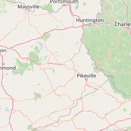
Mount Rogers National Recreation Area sits in the heart of the southern Appalachian Mountains, a region shaped by ancient uplift and long erosional weathering of the Appalachian chain. The terrain consists of long forested ridges, steep hollows, high-elevation grassy balds, and cool mountain streams. Mount Rogers itself rises to 5,729 feet (1,746 meters) and serves as the topographic anchor of the entire recreation area.
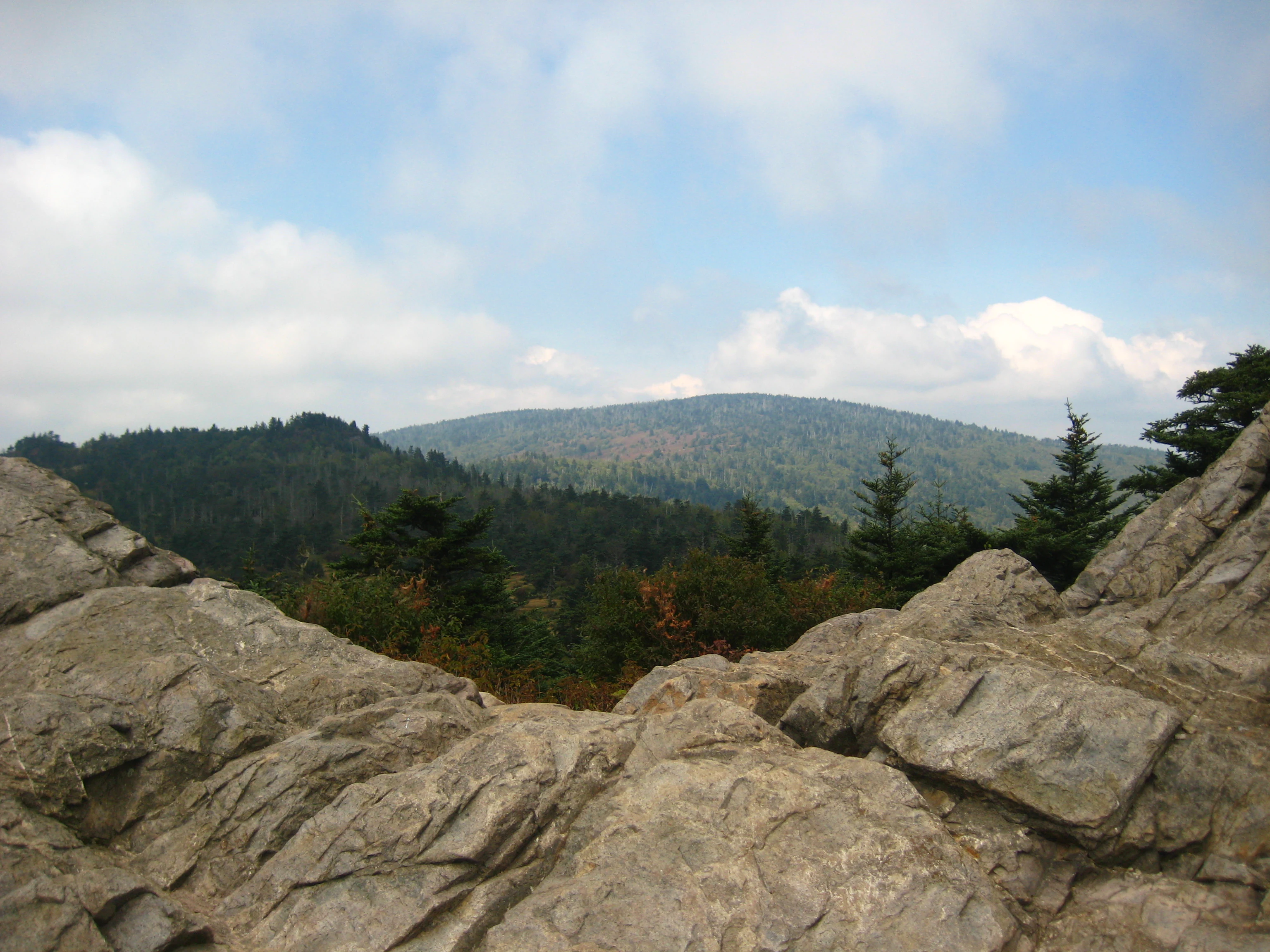
Key landscape features include the spruce-fir and northern hardwood forests on the upper slopes of Mount Rogers, the open balds and rocky outcrops characteristic of the high country near the Virginia-North Carolina border, and the broader mosaic of ridges that descend into the valleys of the New River watershed region. The recreation area's nearly 154,816 acres unfold across multiple counties in southwestern Virginia, producing a continuous expanse of mountain forest rather than an isolated peak surrounded by lowlands.
The connection between the recreation area and Grayson Highlands State Park further reinforces the landscape's high-country character. Together they create an uninterrupted high-elevation zone where open balds, twisted Appalachian hardwoods, exposed granite outcrops, and panoramic ridgeline views define the dominant scenery. The four federally designated wilderness areas within the recreation area, covering a combined 18,500 acres, preserve the most remote and least-disturbed portions of this landscape.
Mount Rogers National Recreation Area ecosystems, habitats, and plant life
Ecologically, Mount Rogers National Recreation Area straddles a transitional zone between the southern hardwood forests characteristic of lower Appalachian elevations and the cooler, high-elevation spruce-fir communities associated with northern mountain forests. This ecological overlap gives the recreation area unusually rich habitat diversity for the southern Appalachians.
Higher elevations around Mount Rogers support relict boreal communities that feel more like New England or Canadian forests than typical Virginia woodlands. Stunted red spruce and Fraser fir dominate the upper slopes, while mid-elevations are covered in northern hardwoods such as yellow birch, American beech, and sugar maple. Lower elevations transition into classic Appalachian mixed hardwood forests of oak, hickory, tulip poplar, and other broadleaf species. The high grassy balds in and around the recreation area represent another distinctive ecological niche, hosting wild grasses, sedges, and a variety of wildflowers including rare and endemic species.
Streams, seeps, and headwater creeks are abundant throughout the recreation area and contribute to the broader New River watershed. These aquatic and riparian systems support numerous amphibian, fish, and aquatic invertebrate species while reinforcing the moist microclimates that favor the area's rich plant diversity. The mosaic of balds, hardwood slopes, conifer stands, and streams makes the recreation area a stronghold for biodiversity in southwestern Virginia.
Mount Rogers National Recreation Area wildlife and species highlights
The variety of habitats within Mount Rogers National Recreation Area supports a wide range of Appalachian wildlife. The contiguous expanse of high-elevation forest and protected wilderness provides refuge for species that depend on large, undisturbed mountain habitats.
Typical mammals in the area include white-tailed deer, black bear, wild turkey, and various small mammals such as chipmunks and squirrels. The high-elevation forests and balds host breeding bird communities associated with both northern spruce-fir forests and southern Appalachian balds, including warblers, thrushes, and raptors. Grayson Highlands State Park, adjacent to the recreation area, is particularly known for its population of wild ponies that graze the high-country balds, and these animals regularly move between the state park and adjoining national forest land.
Amphibians and aquatic wildlife thrive in the recreation area's many headwater streams and seeps. Cool, well-oxygenated mountain creeks support native brook trout and other aquatic species, while the damp forest floor and mossy seep communities support salamanders, frogs, and forest-interior birds. The combination of large undisturbed wilderness blocks and managed national forest habitat makes Mount Rogers NRA meaningful for both resident wildlife and seasonal migratory species using the Appalachian ridge corridor.
Mount Rogers National Recreation Area conservation status and protection priorities
As a national recreation area embedded within the George Washington and Jefferson National Forests and containing four federally designated wilderness areas, Mount Rogers NRA holds considerable conservation significance at regional and national scales. Its roughly 154,816 acres contribute to one of the largest blocks of contiguous protected forest in the southern Appalachians, an important factor for species that require extensive unbroken habitat.
The four designated wilderness areas, Lewis Fork Wilderness, Little Wilson Creek Wilderness, Raccoon Branch Wilderness, and Little Dry Run Wilderness, together preserve about 18,500 acres under the highest level of federal protection. These wilderness designations place restrictions on roads, mechanized travel, and development, ensuring that the most ecologically sensitive portions of Mount Rogers NRA remain free from large-scale disturbance. The recreation area's high-elevation spruce-fir communities, in particular, represent an isolated, relict ecosystem of conservation interest due to their vulnerability to climate change, air pollution, and introduced pests.
By managing a substantial landscape under both wilderness and national recreation area frameworks, the recreation area balances biodiversity protection and habitat continuity with extensive public outdoor recreation. The presence of the Appalachian Trail, the Virginia Creeper Trail, and a large trail network reinforces the area's role in connecting conservation landscapes rather than isolating them, supporting ecological connectivity across the southern Appalachian corridor.
Mount Rogers National Recreation Area cultural meaning and human context
Mount Rogers National Recreation Area sits within the broader Appalachian cultural region, where mountain communities have historically interacted with these high-elevation forests through forestry, farming, hunting, and traditional outdoor recreation. The trans-Appalachian trail heritage, embodied by the Appalachian Trail's 78-mile passage through the recreation area, is a defining cultural feature of the region as well.
The adjoining Grayson Highlands State Park is well known for its management of wild ponies on the high-country balds, a tradition that ties the recreation area's nearby landscape to a long history of highland grazing and mountain pastoral land use. The Virginia Creeper Trail, another signature trail of the area, follows a former railroad corridor and reflects the broader Appalachian transition from industrial-era logging and rail operations into modern recreational use. These cultural layers enrich the recreation area's identity beyond simple wilderness experience.
Top sights and standout views in Mount Rogers National Recreation Area
Several features distinguish Mount Rogers National Recreation Area within both Virginia and the broader Appalachian landscape. It encloses Mount Rogers, Virginia's highest point, surrounded by the Lewis Fork Wilderness and accessible via a short but rewarding summit spur trail off the Appalachian Trail.
Nearly 400 miles of trails, including 78 miles of the Appalachian Trail and a portion of the Virginia Creeper Trail, position the area as a premier hiking destination in the Southeast. Four federally designated wilderness areas anchor the interior, and the direct connection with Grayson Highlands State Park extends the recreation area's public-use value, scenic high-country character, and wildlife habitat into a continuous high-elevation landscape.
Best time to visit Mount Rogers National Recreation Area
Mount Rogers National Recreation Area can be visited year-round, but seasons significantly shape both the experience and the scenery. Spring and early summer bring cool temperatures, blooming high-country wildflowers, and active wildlife, while summer offers comfortable conditions for traversing the higher elevations that remain far cooler than Virginia's lowlands.
Autumn is widely regarded as especially rewarding due to vivid foliage across the hardwood ridges and open balds. Winter brings colder temperatures, occasional snow at higher elevations, and a quieter, more solitary experience, though some road access and high-country trail conditions can be limited. Visitors planning to hike to the Mount Rogers summit generally find late spring through mid-autumn to be the most comfortable window, while winter visitors should be prepared for harsher high-country conditions.