
Why Mount Zirkel Wilderness stands out
Mount Zirkel Wilderness is best known for its unusual ribbon forest, an array of narrow north-south bands of trees shaped by exceptional snowfall and persistent wind exposure. It is also recognized for the deep snowpack of its Buffalo Pass and Mad Creek zones, which rank among the snowiest locations in Colorado. Beyond the ribbon forests, the wilderness is known for its dense spruce-fir forests, alpine tundra on the highest peaks, and the rugged headwater valleys of the Encampment River. The combination of heavily forested approach country and exposed alpine summits gives the area a distinctive transition from closed canopy wilderness into open, glacially shaped high country.
Mount Zirkel Wilderness history and protected-area timeline
The wilderness area was formally established on January 1, 1980 as part of the National Wilderness Preservation System, securing federal Wilderness Area status for its existing forested and alpine terrain. Management responsibility was assigned to the U.S. Forest Service, which already administered the surrounding Routt National Forest lands.
The naming of the wilderness reflects a longer human and scientific history. Mount Zirkel, the highest peak in the surrounding range at 12,182 feet, was named in the nineteenth century for Ferdinand Zirkel, a German geologist whose work on petrography is still referenced in geological science. The use of his name for the peak, and later for the wilderness, ties the area to a broader tradition of naming Rocky Mountain landscape features after scientific explorers.
More recent history has been shaped by natural events rather than administrative changes. During the summer of 2016, the Beaver Creek Fire affected portions of the lodgepole pine and spruce-fir forest in the Encampment River headwaters, leaving a visible burn footprint within the wilderness. Despite this, the area retains its wilderness character, and its trail network continues to offer multi-use backcountry access under the same federal framework established in 1980.
Mount Zirkel Wilderness landscape and geographic character
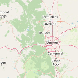
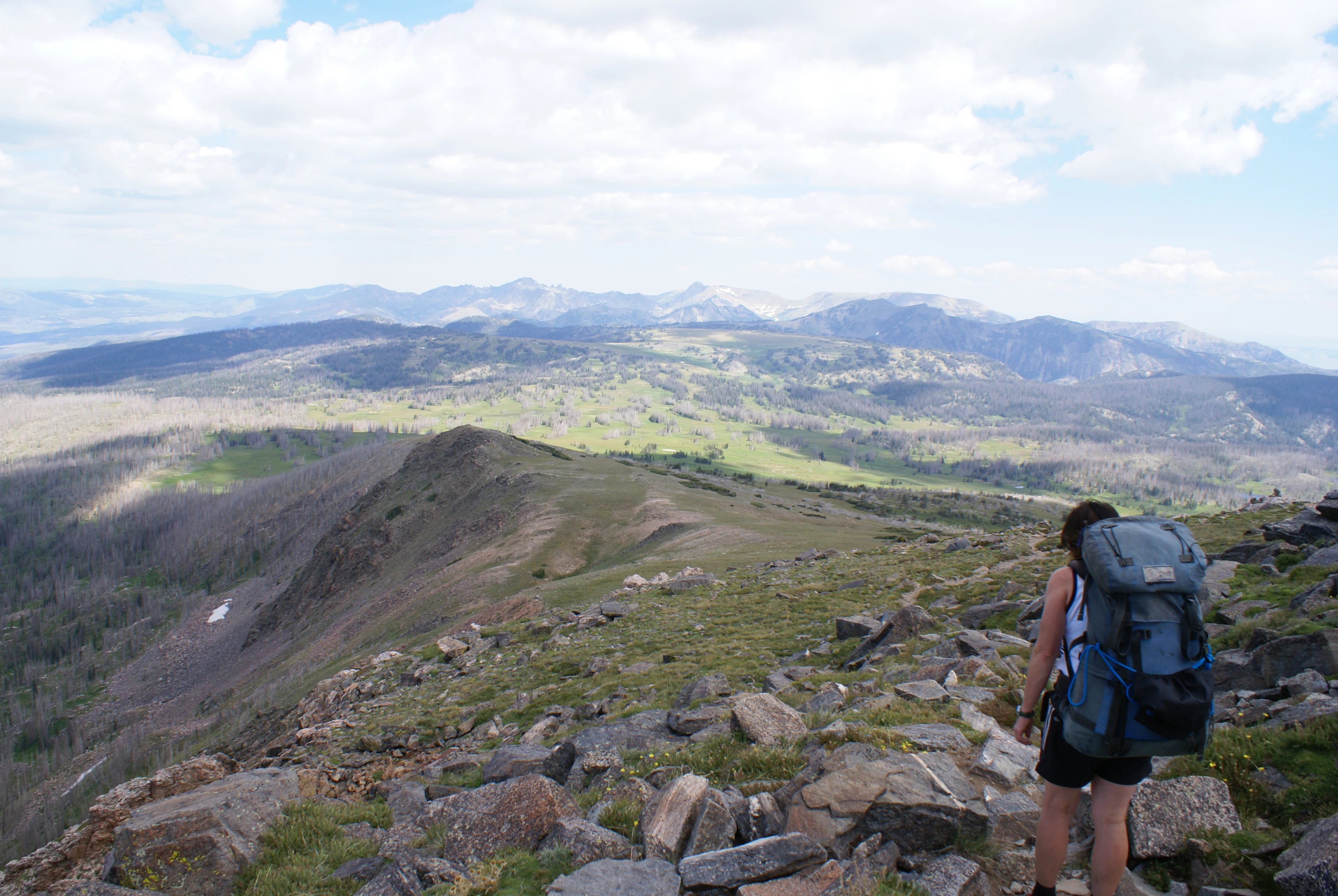
Mount Zirkel Wilderness sits within the Park Range of the Colorado Rocky Mountains, straddling high forested ridges, glacially shaped alpine basins, and deep river headwaters near the Continental Divide. The terrain rises toward Mount Zirkel, at 12,182 feet the highest peak in the range, and includes a block of wilderness patterned by alternating bands of forest, meadow, and exposed alpine crests.
The southern portion of the wilderness has a particularly distinctive land cover, where extreme snow accumulation and prevailing winds create stretches of ribbon forest with trees compressed into parallel north-south bands typically about twenty feet across. Snowfall in the Buffalo Pass and Mad Creek zones is regularly the highest measured in Colorado, and this deep snowpack plays a central role in shaping the surface features and vegetation pattern of the southern wilderness.
Northern and central portions of the area shift between dense spruce-fir and lodgepole pine forests on mid-slopes, open montane meadows along streams, and alpine tundra on the highest summits and exposed ridges. The Encampment River headwaters drain a significant part of the wilderness, cutting through forested valleys below the central alpine zone. Geologically, the area reveals metamorphic bedrock including schists with unusually large garnet crystals in some outcrops, pointing to a long regional metamorphic history beneath the present-day forest cover.
Mount Zirkel Wilderness ecosystems, habitats, and plant life
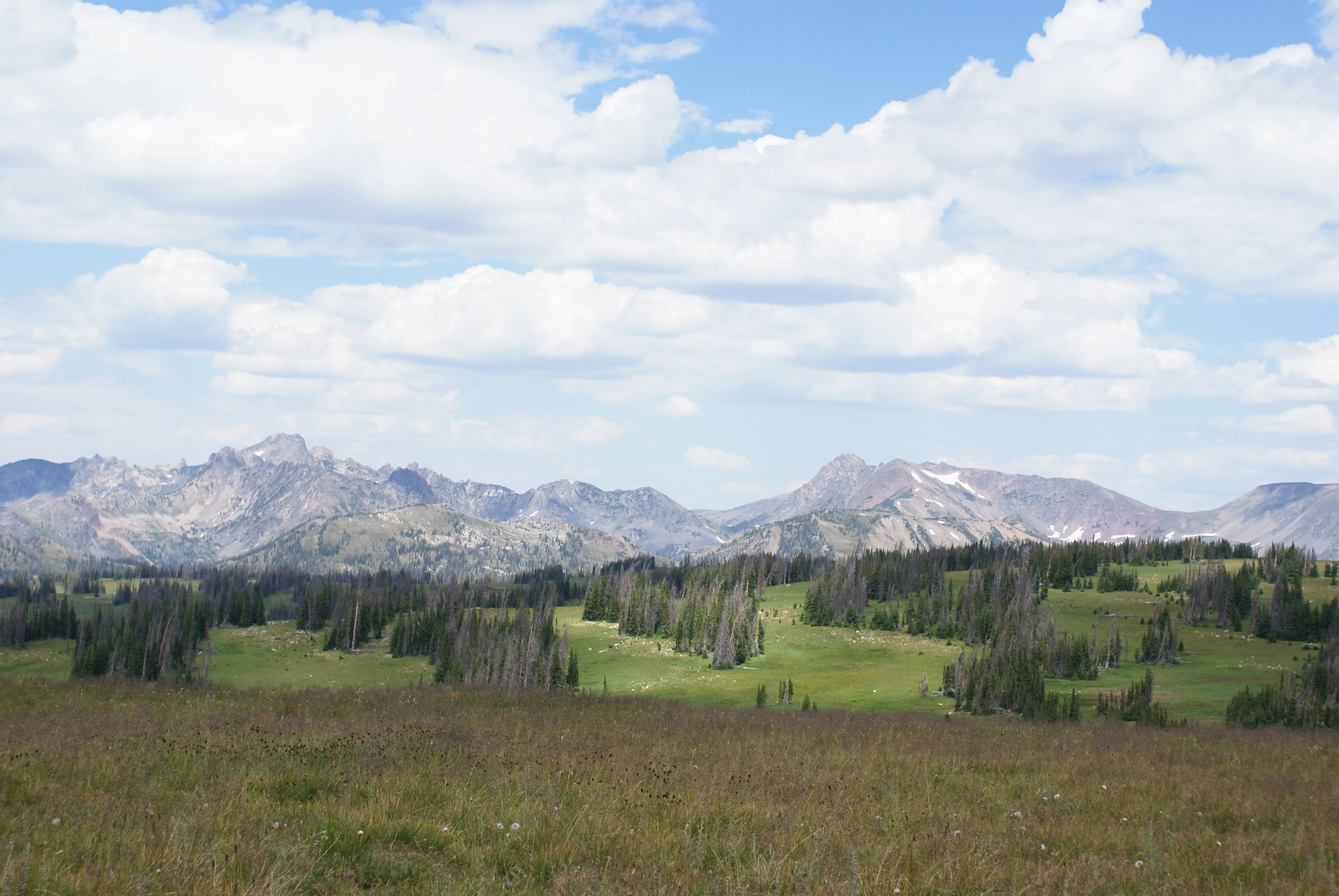
The wilderness supports a layered ecological system that shifts from dense coniferous forest at lower elevations up to alpine tundra at the highest crests. Much of the area is covered by spruce-fir forest, the characteristic high elevation conifer community of the southern Rockies, with montane forest types extending into transitional elevations.
A defining ecological feature is the southern zone's ribbon forest, a wind- and snow-driven patterning of trees unique within Colorado. Here, deep snowpack and strong directional winds limit tree establishment and survival, producing narrow bands of forest separated by open glades. This pattern is ecologically unusual and represents a distinctive habitat signature of the Mount Zirkel area.
Below the alpine zone, montane meadows and riparian corridors along streams such as the Encampment River and its tributaries add habitat diversity. The Encampment River headwaters in the northern portion of the wilderness are dominated by lodgepole pine and spruce-fir forest, part of which was affected by the 2016 Beaver Creek Fire, creating a patchwork of burned and intact forest stands that continue to influence wildlife use and habitat recovery.
Mount Zirkel Wilderness wildlife and species highlights
Wildlife patterns in Mount Zirkel Wilderness follow the broad gradient from dense spruce-fir forest to alpine tundra. The extensive coniferous forests of the lower and middle elevations provide habitat for species typical of Colorado's high country forest ecosystems, while the alpine zones support species adapted to open terrain, exposed slopes, and seasonal snow.
The combination of forest, meadow, and riparian habitats along streams such as the Encampment River supports a mix of resident and seasonally mobile fauna. Riparian corridors and montane meadows within the forest matrix are particularly important feeding and movement zones for wildlife moving between closed canopy and open habitats.
The 2016 Beaver Creek Fire altered habitat structure in parts of the lodgepole pine and spruce-fir forest near the Encampment River headwaters, opening up dense canopy, creating early successional habitat, and changing food availability for both herbivores and predators. Over time, this fire footprint has added a new habitat layer to the wilderness mosaic, illustrating how the wildlife community continues to respond to natural disturbance within the protected landscape.
Mount Zirkel Wilderness conservation status and protection priorities
The primary conservation role of Mount Zirkel Wilderness is to protect a large, contiguous block of Colorado's high elevation spruce-fir forest, associated alpine tundra, and the headwater streams of the Encampment River within the Routt National Forest. Its 1980 designation as a federal Wilderness Area placed the area under the strictest level of U.S. federal land protection, limiting road construction, mechanized use, and other development in order to preserve its ecological and scenic character.
The wilderness helps safeguard rare or distinctive habitat types, most notably the ribbon forest formations in its southern portion, which are shaped by Colorado's deepest snowpack and strong prevailing winds. Conserving these unusual forest patterns as part of an intact wilderness block allows the unique interplay of climate, snow, and forest structure to continue operating without human alteration.
By protecting the upper watersheds of the Encampment River and surrounding streams, the wilderness also contributes to downstream water quality, sediment regulation, and aquatic habitat conditions. Its designation supports the long term health of montane meadows, riparian zones, and the wider spruce-fir ecosystem that depends on the integrity of these forested headwaters.
Mount Zirkel Wilderness cultural meaning and human context
The cultural identity of Mount Zirkel Wilderness is closely tied to the broader history of Colorado's northern Rockies. The naming of Mount Zirkel after the German geologist Ferdinand Zirkel reflects a wider nineteenth century tradition of naming prominent Rocky Mountain peaks after European and American scientists and explorers who worked in geology, mining, and natural history.
The surrounding region has long been associated with ranching, forest use, and mountain recreation tied to communities such as Steamboat Springs. Forest Service management of the Routt National Forest, beginning well before wilderness designation, established a culture of multiple-use backcountry stewardship that the 1980 wilderness designation later both constrained and preserved.
Indigenous land use in the wider Park Range and Continental Divide area precedes the modern reserve system, and the present-day wilderness sits within a landscape long shaped by seasonal movement and resource use. The wilderness today functions as a place of regional identity for nearby communities, where skiing, ranching, and backcountry travel are all part of the same cultural fabric.
Top sights and standout views in Mount Zirkel Wilderness
The highlight of Mount Zirkel Wilderness is its unusual ribbon forest in the southern portion of the area, where deep snow and persistent wind compress tree growth into narrow north-south bands of about twenty feet across. This feature, combined with the exceptional snowfall of the Buffalo Pass and Mad Creek zones, which sits among the snowiest locations in Colorado, gives the wilderness a distinctive forested identity not easily found elsewhere in the state.
Alongside these signature features, the wilderness offers large continuous stands of spruce-fir and lodgepole pine forest, including areas of lodgepole pine along the Encampment River headwaters that were shaped by the 2016 Beaver Creek Fire. Its network of trails, approved for hiking, mountain biking, and horseback riding, lets visitors experience the transition from dense coniferous forest to alpine tundra on peaks such as Mount Zirkel itself.
Best time to visit Mount Zirkel Wilderness
Summer and early autumn are the most practical times to visit Mount Zirkel Wilderness, when the trail network is largely free of seasonal snow and long daylight hours support multi-day backcountry trips. During this window, hikers, mountain bikers, and horseback riders can expect to move through the spruce-fir forests, cross montane meadows, and reach the alpine tundra zones around the wilderness's higher peaks.
Winter conditions in the wilderness are severe, with the Buffalo Pass and Mad Creek areas receiving some of the heaviest snowfall in Colorado. This makes winter travel technically demanding and generally limited to experienced snowboarders, skiers, and snowshoers prepared for deep snowpack and remote terrain, and visitors should not expect summer-style trail access during the cold months.