A Colorado wilderness of spruce-fir forests, alpine tundra, and ribbon forest shaped by deep snow.
Mount Zirkel Wilderness
Mount Zirkel Wilderness is a protected U.S. Wilderness Area in northwest Colorado, set within the Routt National Forest and spanning parts of Jackson and Routt counties. With its closest major town at Steamboat Springs, the wilderness covers roughly 160,000 acres of mountain terrain near the Continental Divide, organized around Mount Zirkel itself, the range's high point named for a nineteenth century German geologist.
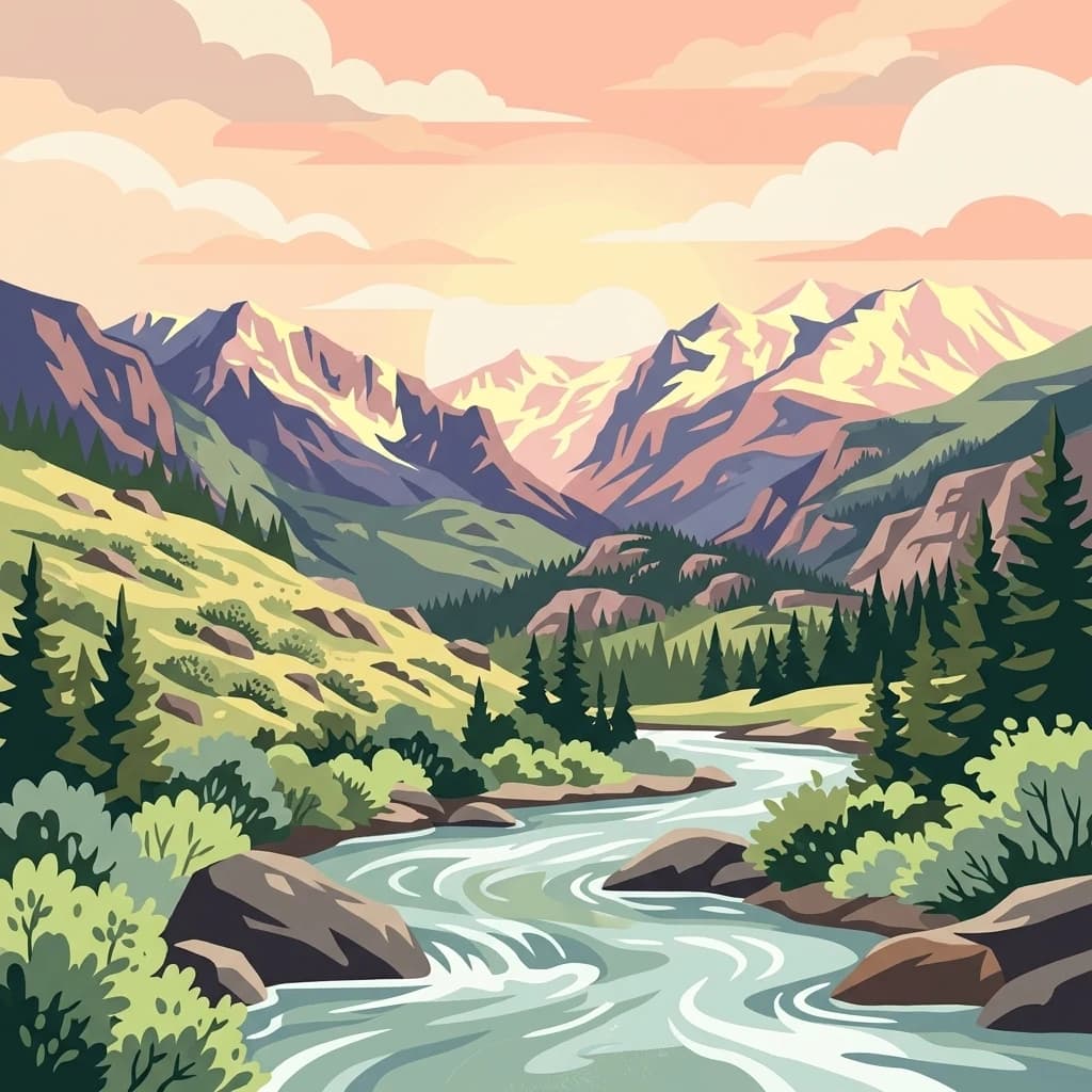
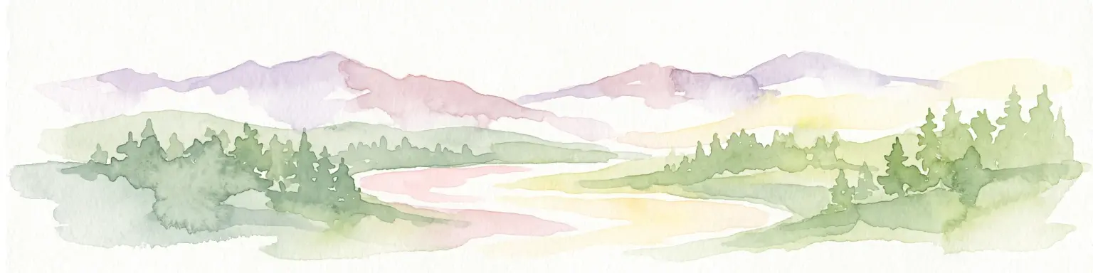
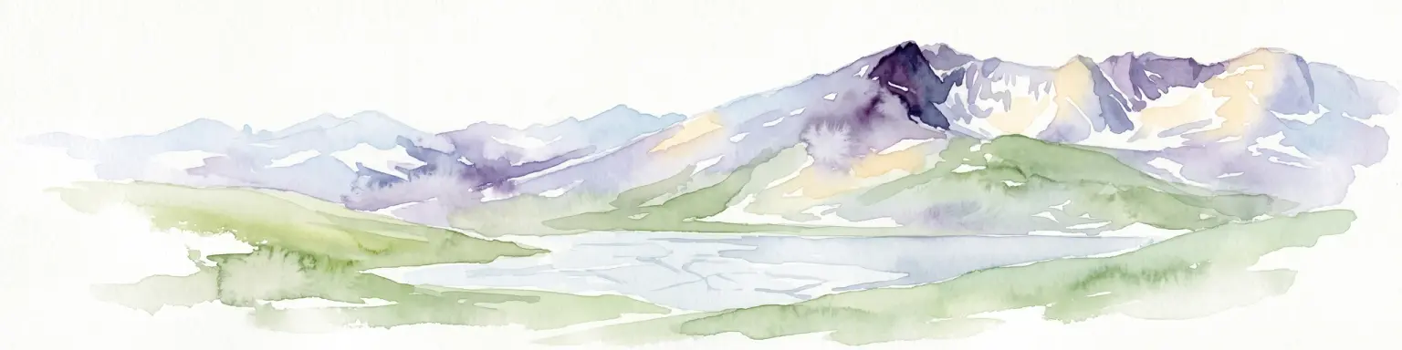
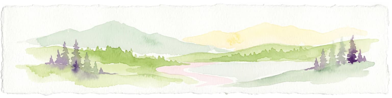
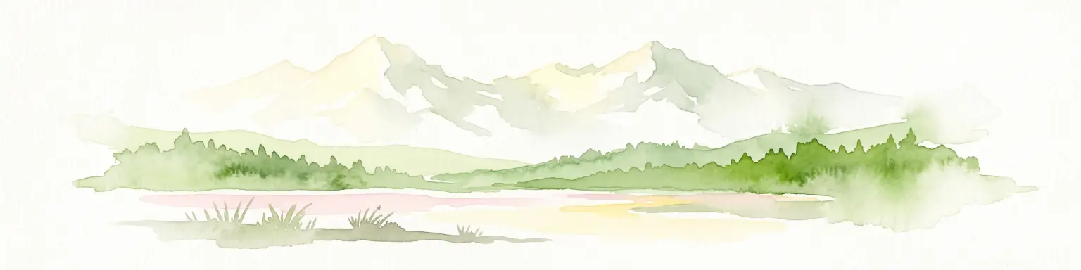
The landscape is defined by extensive spruce-fir forests, alpine tundra on the highest crests, montane forest, open meadow systems, and riparian corridors along rivers such as the Encampment. A signature feature is the unusual ribbon forest found across parts of the southern wilderness, where snow and wind compress tree growth into narrow north-south bands.
Recreation in the wilderness centers on its trail network, with routes approved for hiking, mountain biking, and horseback riding. The area is administrated by the U.S. Forest Service and has been formally protected as wilderness since 1980, balancing backcountry access with the preservation of one of Colorado's snowiest and most distinctive forested high country environments.