Mori Atlas logo
Park earthquake history

Explore historical seismic records correlated by proximity to this protected nature reserve.

Recorded Earthquake History and Seismic Catalogue for Münsterbusch zwischen Hamm und Haumühle

This historical collection archives seismic events located near the Münsterbusch zwischen Hamm und Haumühle nature reserve in North Rhine-Westphalia. The catalogue provides access to event dates, magnitudes, and epicentre distances calculated relative to the protected floodplain and Inde valley landscape. These records offer a transparent view of regional seismic history as captured by established scientific networks.

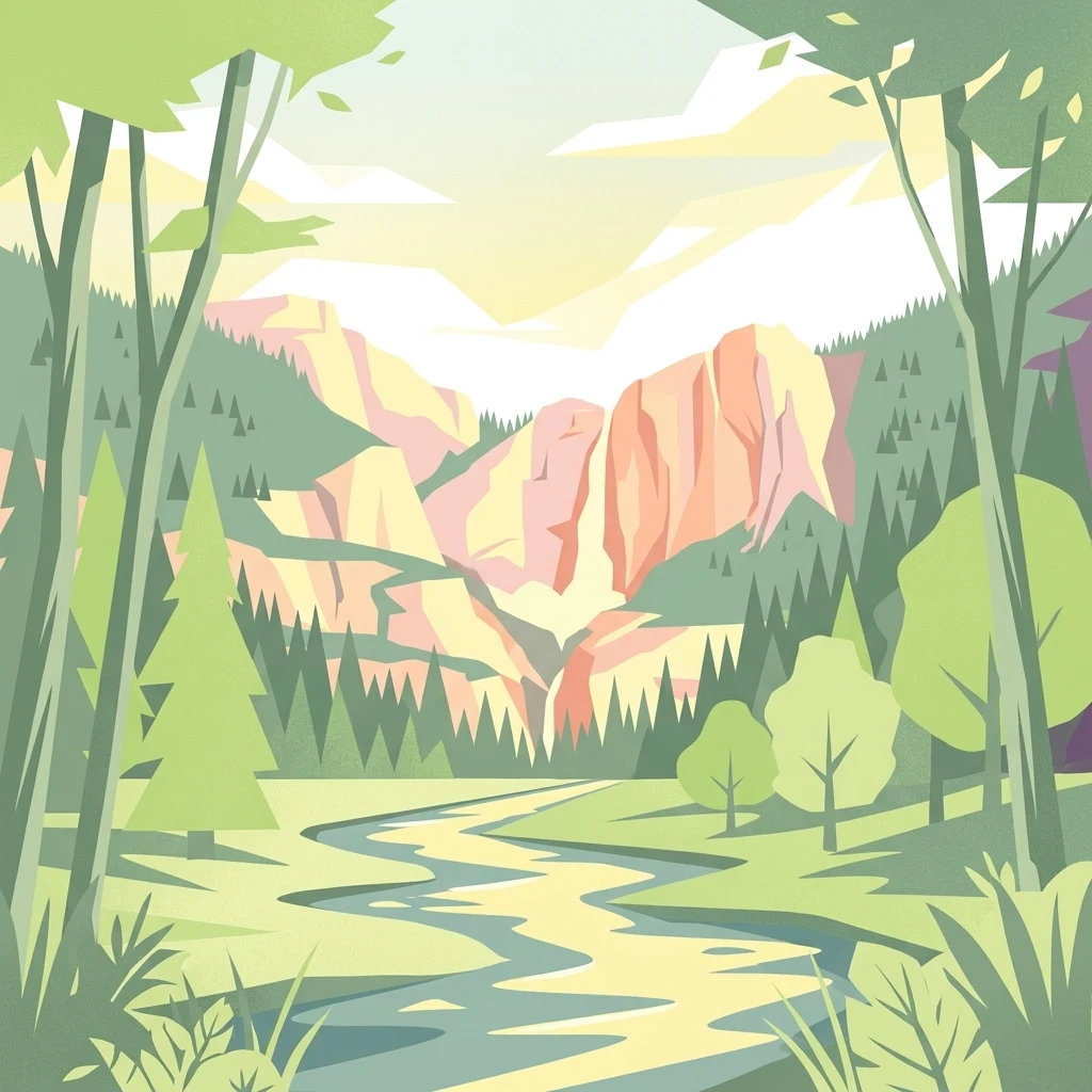
Stylized graphic illustration depicting a valley with a winding river in the foreground, coniferous trees, and tall rocky cliffs in the background under a soft light.

A riverine woodland reserve in the Inde valley near Stolberg, protecting heavy-metal grasslands, heath and ancient floodplain forests.

Münsterbusch zwischen Hamm und Haumühle

Münsterbusch zwischen Hamm und Haumühle is a nature reserve (Naturschutzgebiet) in North Rhine-Westphalia, western Germany, located between the Stolberg districts of Münsterbusch, Hamm, Haumühle and Atsch, west of Stolberg's old town. Designated in 1985 under the identifier ACK-015 and managed as part of the Aachen landscape plan, the protected area covers roughly 103 hectares of the Inde valley, locally known as the Münsterbachtal, and consists of two separate sections along the river. The reserve protects a varied mosaic of near-natural habitats that is unusually rich for a lowland valley of the densely populated Aachen region. Its core values include near-natural stretches of flowing water, the hydrological system of the floodplain, heavy-metal grasslands, mat-grass swards, dry to wet heath communities, species-rich wet and moist meadows, and old oak-hornbeam forests along the brook corridor, including traditional coppice woodlands rich in veteran trees and dead wood. Although close to the city of Stolberg and partly adjoining the Aachen-Brand military training area, the area retains a strikingly quiet, ecologically intact character. It forms an important green link within the network of protected sites in the Städteregion Aachen and lies immediately next to the Brander Wald reserve.

Location
Germany
Park type
Nature reserve
Established
2004
Münsterbusch zwischen Hamm und Haumühle Protected Area

Compare Münsterbusch zwischen Hamm und Haumühle records by distance

Review earthquakes near Münsterbusch zwischen Hamm und Haumühle

Münsterbusch zwischen Hamm und Haumühle’s earthquake search is anchored to the protected site’s German identity and the spatial relationship between reported epicentres and its location. Examine each event’s time, magnitude, depth, place wording, measured distance, and source individually; the catalogue does not establish that an epicentre fell within the site, caused effects there, or indicates current danger.

Sort by
Magnitude
Location

This page describes catalogued earthquakes associated with the park by epicentre location and distance. It does not establish causation, assess current danger, or predict future earthquakes.

No earthquake records match the current filters

Park atlas

Continue beyond Münsterbusch zwischen Hamm und Haumühle earthquake data

Browse other protected places after Münsterbusch zwischen Hamm und Haumühle

Münsterbusch zwischen Hamm und Haumühle earthquake data is followed by an independent selection of protected destinations. The links do not establish shared protected status, landscapes, geological history, seismic patterns, proximity, hazard conditions, risk, or matching evidence quality.
A watercolor painting showing a soft green landscape with rolling hills, a small pond, and trees under a white background.
Nature reserveStädteregion Aachen
About 4.1 km away#1 closest

Southeast

Naturschutzgebiet Schlangenberg: A Geographic Profile of Protected Mining Landscapes

Rare heavy metal habitats in the Städteregion Aachen

Naturschutzgebiet Schlangenberg serves as a protected ecological island featuring specialized Galmei flora that thrives on toxic zinc-rich soils. The reserve offers a clear look at how geological formation and historic mining practices created a unique steppe-like terrain, supporting diverse butterfly populations and rare botanical species within the North Rhine-Westphalia landscape.

Area
1.237 km²
Established
1975
IUCN
IV
Relief
Upland
A wide panoramic watercolor painting showing a landscape with a winding light green river or meadow in the foreground, a band of green trees in the middle ground, and purple mountains in the background against a white sky.
Nature reserveNordrhein-Westfalen
About 4.7 km away#2 closest

South

Naturschutzgebiet Schomet: Mapping the Protected Limestone Ridge and Reclaimed Quarry Landscapes

Nature reserve geography in Stolberg, Nordrhein-Westfalen

Examine the distinct geomorphology of Naturschutzgebiet Schomet, where abandoned Carboniferous limestone quarries have evolved into sheltered refuges for hornbeam forest and spring flora. This protected area offers insight into the regional geology of the Eifel foothills, showcasing how human-modified landscapes serve as important ecological corridors for amphibians and rare butterfly species within the broader Stolberg municipal network.

Area
12.81 km²
Established
2005
IUCN
IV
Nature reserveGermany
About 5.8 km away#3 closest

Northeast

Korkus Nature Reserve: A Detailed Geographic Overview of Protected Woodland in Germany

Mapping the historic mining terrain and stream-valley ecology

Korkus Nature Reserve offers a focused view into the woodland mosaic of the Städteregion Aachen. This protected area preserves a unique synthesis of stream-bordered forest and remnants of ancient iron extraction, providing a distinct geographic footprint within the broader context of North Rhine-Westphalia.

Area
5.208 km²
Established
1990
IUCN
IV
A horizontal watercolor illustration depicting rolling, soft-toned hills and a line of stylized trees in greens and pinks against a white background.
Nature reserveNordrhein-Westfalen
About 7.9 km away#4 closest

South

Naturschutzgebiet Schmithof: A Geological and Ecological Protected Area in Nordrhein-Westfalen

Mapped limestone quarries and traditional coppice forest landscapes

Located within the Städteregion Aachen, Naturschutzgebiet Schmithof protects a significant conjunction of geological and biological values. The site features an abandoned limestone quarry set against a backdrop of historic oak-hornbeam forest. This reserve provides a clear window into the local terrain, where calcareous grassland soils support rare flora and reflect ongoing habitat succession within a protected landscape context.

Area
0.048 km²
Established
1988
IUCN
IV
Relief
Lowland
Nature reserveGermany
About 8.2 km away#5 closest

Southwest

Wurmtal Nature Reserve: Mapping the Protected River Valley and Floodplain Geography

Protected riparian habitat in North Rhine-Westphalia

Wurmtal protects a diverse river corridor characterized by free-meandering stretches, soft-wood floodplain forests, and distinct industrial-heritage landmarks. This atlas entry provides insight into the valley's structural geography, including its steep erosion cliffs, gravel-bed river dynamics, and role as a significant ecological migration route within the regional landscape.

Established
1989
Relief
Lowland
Scope
Terrestrial
Water
Water-dominated
A soft watercolor illustration showing a winding river flowing through a forested valley with gentle rolling hills in the background.
Nature reserveGermany
About 11 km away#6 closest

South

Naturschutzgebiet Oberlauf der Inde im Münsterwald: Germany Protected Nature Reserve Atlas

Headwater streams and rare wetland habitats in the Aachen region.

Situated in the Münsterwald near Aachen, this nature reserve protects the intact headwaters of the Inde and Fobisbach streams. The area is characterized by a complex, compact landscape of alder carr, spring-fed bogs, and Molinia grasslands, offering a rare window into the natural hydrology and wetland vegetation of the region.

Area
0.299 km²
Established
1988
Relief
Upland
Climate
Temperate
A watercolor painting depicting rolling, soft-toned green hills and a foreground of trees and riparian vegetation.
Nature reserveNorth Rhine-Westphalia
About 11 km away#7 closest

South

Laubwald am Hasselbachgraben Nature Reserve in North Rhine-Westphalia

Protected Eifel forest and riparian stream landscape

Located in the Städteregion Aachen, Laubwald am Hasselbachgraben preserves a distinct mix of European beech, oak, and spruce. The reserve is anchored by the Hasselbach stream valley and the landmark Kreitzberg Naturwaldzelle, providing a critical study of near-natural woodland structure within the northern Eifel region.

Area
2.88 km²
Established
1999
IUCN
IV
Relief
Upland
Watercolor painting of a rolling stream valley with soft green hills and light water
Nature reserveStädteregion Aachen
About 15 km away#8 closest

Southeast

Kelzer- und Saarscher Bachtal: Protected Brook Valley Geography and Forest Terrain

Nature reserve exploration in the Städteregion Aachen landscape

The Kelzer- und Saarscher Bachtal nature reserve protects a vital network of brook valley habitats, including deciduous forest remnants, wet heath, and cascading stream sections. This area offers a clear look at local hydrologic restoration and the structural diversity found within the Eifel district, providing a focused view for those interested in regional protected-land geography.

Area
0.46 km²
Established
1999
IUCN
IV
MoriAtlas Explorer

Explore the Mapped Landscapes of Münsterbusch zwischen Hamm und Haumühle

Examine the detailed geographic profile of the Münsterbusch zwischen Hamm und Haumühle nature reserve. Discover how this essential protected area serves as a rare habitat mosaic within the North Rhine-Westphalia region, and learn about the unique interplay between its Inde valley hydrology and ancient woodland corridors.