
Mori Atlas logo
Protected landscapeNaturpark Maribosøerne

A mapped mosaic of freshwater ecosystems, historic estate landscapes, and forest terrain

Naturpark Maribosøerne Protected Landscape and Glacial Lake Geography on Lolland, Denmark

Naturpark Maribosøerne encompasses a significant cluster of four interconnected glacial lakes on the island of Lolland in southern Denmark. The terrain features irregular shorelines, bog habitats, and forest belts shaped by the last ice age, creating a distinct mosaic of natural freshwater ecosystems and cultural heritage sites. As a designated protected landscape and Natura 2000 area, the region provides an essential habitat for birdlife and wetland species, while bridging prehistoric archaeological sites with modern land conservation.

lake landscapeglacial lakesNatura 2000bird protection areawetland habitatsbog and forest mosaic
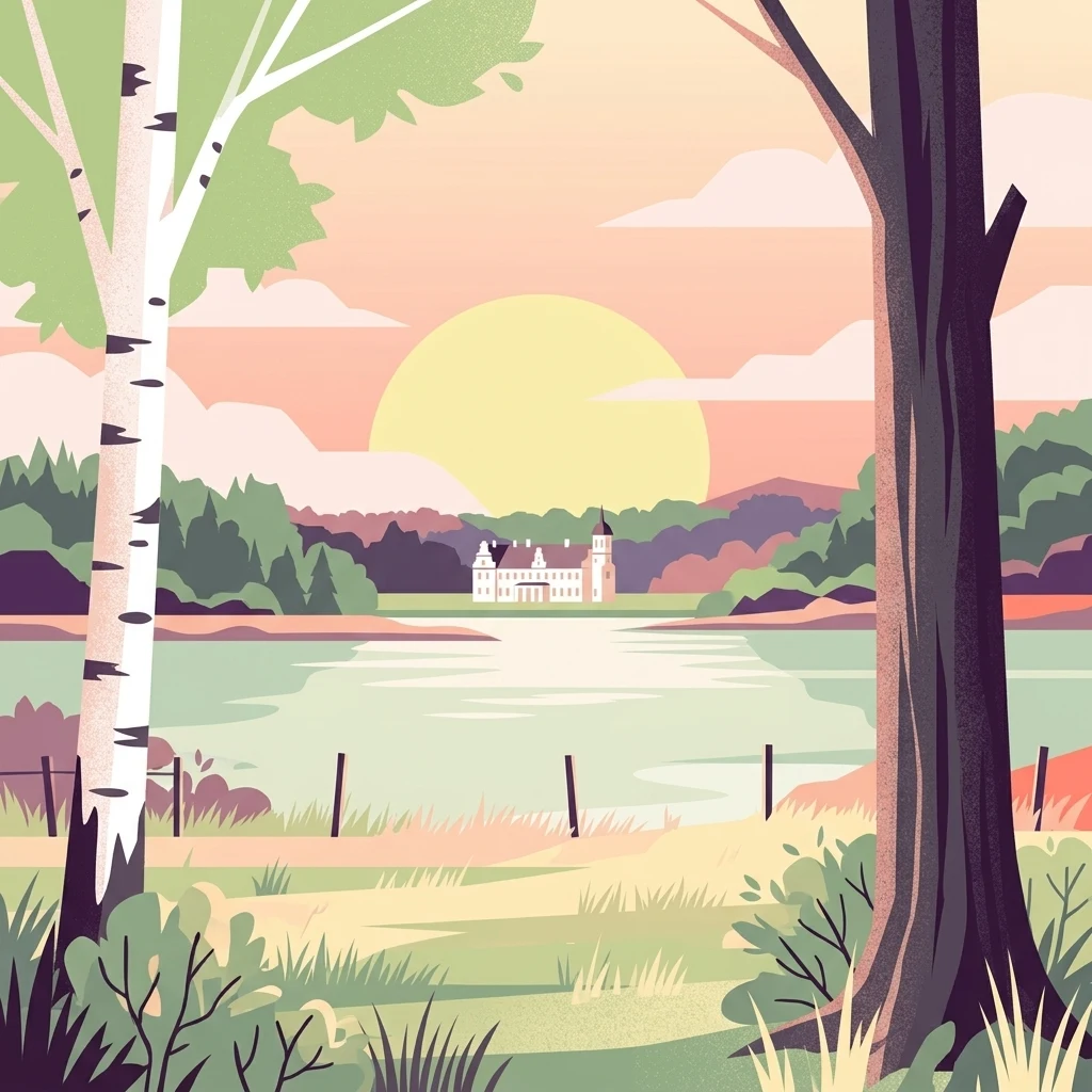
A flat vector illustration showing a calm lake scene at sunset, framed by a birch tree on the left and a dark-trunked tree on the right, with a large mansion visible across the water.

Naturpark Maribosøerne

Protected landscape

Park overview

Structured park overview, official facts, and landscape profile for Naturpark Maribosøerne

Naturpark Maribosøerne park facts, protected area profile, and essential visitor context

Review the core facts for Naturpark Maribosøerne, including designation, size, terrain, visitor scale, habitats, and operating context in one park-focused overview.

About Naturpark Maribosøerne

Naturpark Maribosøerne sits at the heart of the southern Danish island of Lolland, just west of the town of Maribo. The nature park is built around a quartet of freshwater lakes, Søndersø, Røgbølle Sø, Hejrede Sø, and Nørresø, which together form a continuous water surface covering roughly 1,140 hectares. Although each lake has its own identity, they are all connected, and the entire system drains through a single outlet, the Hunsåen stream, into the Smålandshavet sea to the north. The result is a single, coherent lake landscape rather than four isolated bodies of water.

The surrounding land is as defining as the lakes themselves. Broad belts of forest and bog wrap around the water, interspersed with cultivated fields and the grounds of historic manors such as Søholt, Ulriksdal, and Engestofte. Much of the terrain is privately owned by these estates, while Lolland Municipality owns several small islands in Søndersø, including Hestø, Fruerø, and Præstø, which are open to the public. This blend of private estate land and accessible public areas gives the park its particular rhythm: stretches of intimate shoreline punctuated by broader wooded vistas and the occasional view of a manor house or a forest edge.

Geologically, the park is a clear expression of the last ice age. The lakes were shaped by glacial action, which is why their shorelines are so irregular, marked by small bays, inlets, and uneven contours rather than the simple curves of fluvial valleys. The same ice age processes created some of Lolland's highest hills in the surrounding landscape, modest in absolute terms, reaching only slightly above 20 meters, but exceptional for an otherwise low island. This combination of gentle elevation and pronounced shoreline detail gives the park much of its visual character.

The cultural depth of the area is just as strong as its natural features. A small forest south of Hejrede Sø contains an unusually dense cluster of 55 Bronze Age burial mounds, anchoring the landscape in deep prehistoric heritage. A small tour boat, Anemonen, has traditionally offered both continuous and guided tours around the lakes with a nature guide, allowing visitors to experience the lake edges from the water. Together, these qualities make Naturpark Maribosøerne one of the most recognizable nature parks on Lolland and a key part of southern Denmark's inland natural and cultural landscape.

Quick facts and research context for Naturpark Maribosøerne

Naturpark Maribosøerne is a Danish nature park located on the island of Lolland, encircling a connected lake system near Maribo.

The lakes together cover around 1,140 hectares of water surface and are surrounded by forest, bog, farmland, and some of Lolland's highest hills. The landscape was sculpted by the last ice age, and the park includes Bronze Age burial mounds. It lies within the Natura 2000 network as both a habitat area and a bird protection area, and an area around the lakes was placed under nature protection in 1957.

Park context

Deeper park guide and search-rich context for Naturpark Maribosøerne

Naturpark Maribosøerne history, landscape, wildlife, and travel context

Explore Naturpark Maribosøerne through its history, landscape character, ecosystems, wildlife, conservation priorities, cultural context, and seasonal travel timing in a structured park guide built for atlas discovery and search intent.

Why Naturpark Maribosøerne stands out

The park is best known for its group of four interconnected glacial lakes near Maribo, and for the unusually harmonious mix of water, woodland, and historic estate landscapes that surround them. The irregular shorelines and small bays carved into the lakes reflect the area's ice age origins, while the presence of large forest and bog tracts gives the park a quiet, sheltered character. The lakes are also notable as a recognized habitat and bird protection area within the European Natura 2000 network. Wildlife management at the adjacent Maribo Vildtreservat reinforces the area's importance for waterfowl and other wetland species, earning the park a reputation as one of Lolland's most significant inland natural areas.
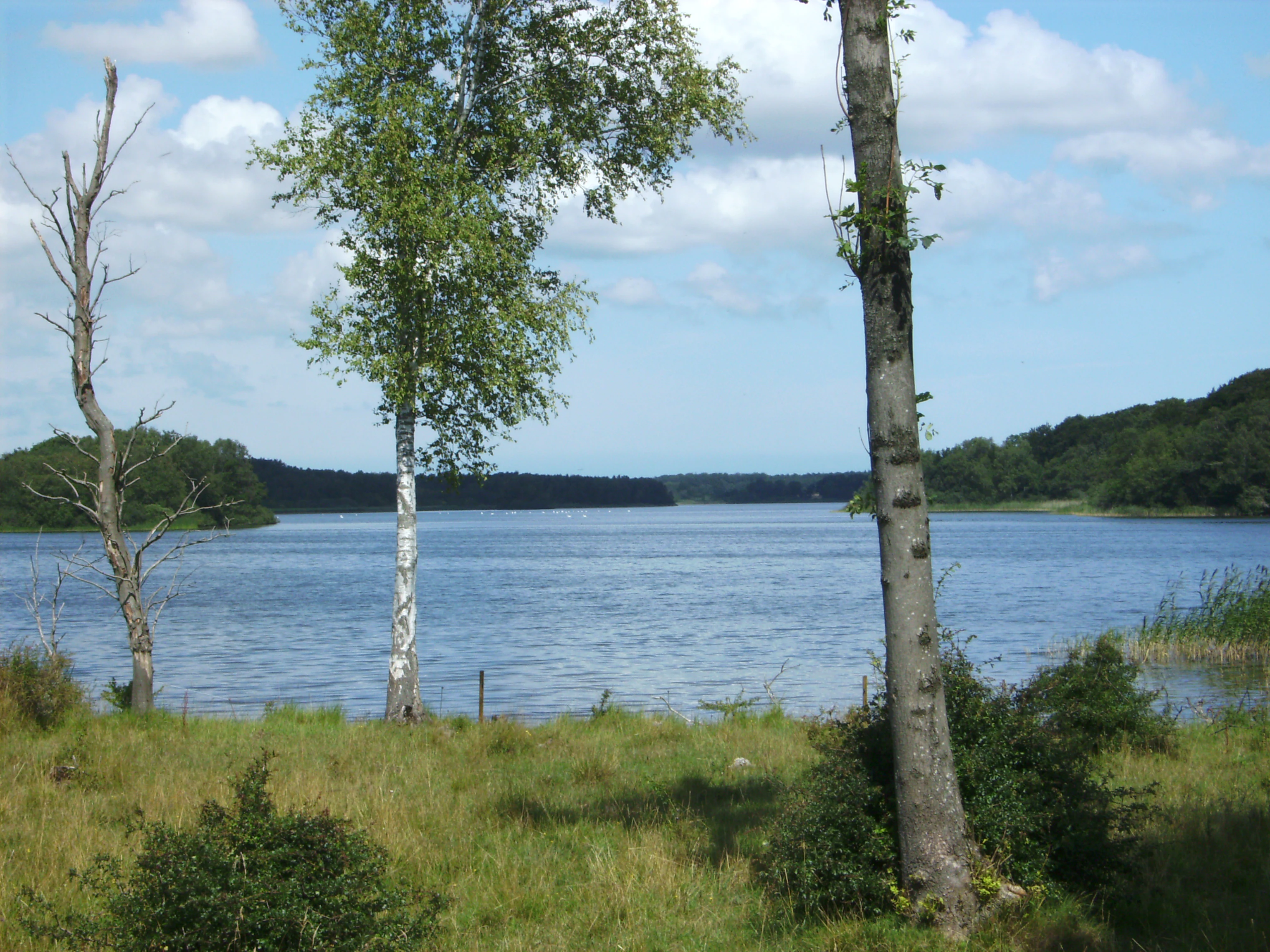
A peaceful view of Røgbølle Lake with trees in the foreground, grassy banks, and dense forest bordering the water in the distance under a blue sky with white clouds.
A view of Røgbølle Lake, part of the Naturpark Maribosøerne lake system in Denmark.

Naturpark Maribosøerne history and protected-area timeline

The shape of Naturpark Maribosøerne goes back thousands of years. The lakes themselves were gouged out and reshaped during the last ice age, and the area's prehistoric importance is evident in the unusually dense concentration of 55 Bronze Age burial mounds located in a small forest south of Hejrede Sø. For centuries, much of the surrounding land has been organized around large estates such as Søholt, Ulriksdal, and Engestofte, whose manor houses still characterize the park's shoreline views and whose ownership continues to define land use around the lakes.

Formal conservation arrived relatively early by Danish standards. In 1957, an area of 1,195 hectares around the Maribo lakes was placed under nature protection, securing the landscape from significant alteration at a time when many wetland sites in Denmark were under pressure from drainage and agricultural intensification. Since then, the area's role in European conservation has grown: the lakes were incorporated into the Natura 2000 network as both a habitat area and a bird protection area, reinforcing the earlier national protection with international recognition.

The establishment of the nature park itself reflects a broader Danish effort to organize protected natural areas around coherent geographic units. Naturpark Maribosøerne brings together private estate landscapes, public islands, and ecologically significant lake and bog systems under a shared identity, giving visitors and residents a unified way to experience and understand the area's combined natural and cultural heritage.

Naturpark Maribosøerne landscape and geographic character

The landscape of Naturpark Maribosøerne is defined by water and the way water meets land. The four lakes are shallow and nutrient-rich, with shorelines that twist into countless small bays and inlets. This irregular profile is a direct legacy of glacial activity during the last ice age, which also deposited the surrounding terrain and created some of Lolland's highest hills just inland from the lakes. Although these elevations barely exceed 20 meters, they are enough to give the park a layered sense of relief in an otherwise flat island environment.

Forest frames much of the water. Continuous belts of woodland edge the lakes, while stretches of low-lying bog and wetland occupy the lower ground between the forest and the fields. Cultivated farmland fills the gaps, reflecting a long coexistence of agriculture, forestry, and lake ecosystems. The result is not a wilderness but a harmonious cultural-natural mosaic in which no single land use overwhelms the others.

The northern outlet of the lake system, where Nørresø empties into the Hunsåen and ultimately into the Smålandshavet, is an important landscape feature in its own right. It links the inland park to the open sea and supports ecological exchange between freshwater and marine environments. Within the lakes themselves, small islands such as Hestø, Fruerø, and Præstø break up the water surface and add visual interest, while also providing quieter habitats for birds and other wildlife.

Naturpark Maribosøerne ecosystems, habitats, and plant life

Naturpark Maribosøerne protects a freshwater system shaped by glacial geology and centuries of human land management. The lakes themselves are relatively shallow and nutrient-rich, a character that supports rich aquatic vegetation and high biological productivity. Surrounding bogs and fens extend the wetland footprint beyond the water's edge, maintaining moisture-loving plant communities that depend on stable hydrological conditions.

The forests ringing the lakes are a defining ecological feature. They create a continuous wooded buffer that moderates runoff, stabilizes shorelines, and provides habitat continuity for woodland species. Together with the bog complexes, these forests form a transitional zone between open water and dry agricultural land, increasing the area's habitat diversity. On the islands in Søndersø, smaller-scale woodland and shoreline habitats offer more sheltered conditions for flora and fauna.

The combination of open water, shallow shoreline margins, woodland, and bog gives the park an unusually varied ecological mosaic on Lolland. This mosaic supports a community of species adapted to very different conditions, from open-water and wetland birds to woodland animals, and forms the basis for the area's formal conservation designations under both Danish national protection and the European Natura 2000 network.

Naturpark Maribosøerne wildlife and species highlights

The lake system is the heart of the park's wildlife value. Open water, shallow margins, reed beds, and surrounding bogs create a rich combination of habitats for waterfowl and other wetland birds. The area's designation as both a habitat area and a bird protection area within the Natura 2000 network reflects the importance of these bird communities at the European level.

The adjacent Maribo Vildtreservat adds another layer of formal protection. By restricting hunting in certain areas, the reserve helps maintain undisturbed conditions for sensitive species, particularly during breeding and migration seasons. The islands in Søndersø, with their limited human disturbance, also contribute as quieter refuge zones.

Away from the water, the surrounding forests and estate woodlands host a typical Danish woodland fauna. The transition between bog, forest, and field supports species that thrive at these edges, and the overall abundance of semi-natural habitat gives the park a wildlife profile richer than that of many purely agricultural areas on Lolland. While the forests and bogs are less conspicuous to casual visitors than the open lake surfaces, they are crucial to sustaining the area's ecological integrity.

Naturpark Maribosøerne conservation status and protection priorities

Conservation is central to the identity of Naturpark Maribosøerne. In 1957, a substantial area of approximately 1,195 hectares around the Maribo lakes was placed under formal Danish nature protection, providing a foundation of long-term legal safeguarding that predates many modern European conservation frameworks. This early protection helped maintain the wetlands and forests in a landscape that was otherwise heavily shaped by agriculture.

The park's role in international conservation is equally significant. The lakes are part of the Natura 2000 site known as Maribosøerne, designated as both a habitat area and a bird protection area. This dual designation recognizes the area's importance for both broad habitat types and specific bird species, anchoring the park within the European network of protected natural areas. The Maribo Vildtreservat introduces additional restrictions on hunting, while Lolland Municipality's ownership of the small islands in Søndersø provides publicly managed areas that support both conservation and public enjoyment.

Together, these overlapping layers of protection give the park a strong conservation profile. The combination of national protection from the mid-twentieth century and European ecological designation, combined with a balanced mix of public and private land management, helps ensure that the lakes, surrounding forests, and bog systems continue to function as a coherent ecological landscape rather than as isolated fragments.

Naturpark Maribosøerne cultural meaning and human context

The park's cultural context is woven into its landscape. For centuries, the area around the Maribo lakes has been organized around large estates, and manor houses such as Søholt, Ulriksdal, and Engestofte still anchor the park's shoreline views. Their parklands, woodlands, and fields form much of the terrain surrounding the lakes, and the estates remain the principal private landowners in the area. This long continuity of estate management shapes both the visual character of the park and the practical pattern of land use.

Prehistoric heritage is also strongly represented. In a small forest south of Hejrede Sø, an exceptional cluster of 55 Bronze Age burial mounds provides archaeological evidence of the area's long-standing importance to human communities. The presence of these mounds within a still-wooded setting gives the park a sense of historical depth that complements its natural values.

Local traditions of engaging with the lakes also persist. The small tour boat Anemonen has offered both continuous and guided tours, including trips led by a nature guide, reflecting a regional culture in which the lakes are seen as both a recreational and an interpretative resource. The blend of royal, estate, prehistoric, and contemporary recreational uses gives Naturpark Maribosøerne a layered cultural identity that mirrors its ecological richness.

Top sights and standout views in Naturpark Maribosøerne

Among the park's standout features are the four interconnected lakes near Maribo, whose irregular, bay-rich shorelines reflect their glacial origins and give the area much of its distinctive scenery. The surrounding forests and bogs form a continuous green framework around the water, while the historic estates of Søholt, Ulriksdal, and Engestofte lend the landscape a strong cultural backbone.

Equally important are the 55 Bronze Age burial mounds south of Hejrede Sø, an unusually dense prehistoric site, and the formal conservation framework that protects the area at both Danish and European levels. The islands of Hestø, Fruerø, and Præstø provide publicly accessible shoreline experiences within an otherwise largely privately owned landscape, and the traditional tour boat Anemonen connects visitors to the lake system from the water. Together, these features define a park in which natural beauty, prehistoric heritage, estate culture, and modern conservation converge.

Best time to visit Naturpark Maribosøerne

Spring and early summer are particularly rewarding periods to experience Naturpark Maribosøerne. As woodland leaf cover develops and water levels stabilize, the lakes and surrounding forests become especially productive for bird activity, with both breeding species and migration movements along the southern Danish flyway. The shorelines feel most alive at this time, and the contrast between fresh green foliage and open water is at its strongest.

Late summer and early autumn offer a different but equally appealing atmosphere. As the forests around the lakes shift in color and the bog margins quieten, the park takes on a more contemplative quality, and the irregular shapes of the glacial shorelines become more pronounced against the darkening waters. Because the landscape is defined by water, woodland, and gentle elevation rather than high alpine terrain, the park remains attractive across the milder seasons; visitors should generally prefer periods of longer daylight, when both walking the shorelines and boat-based exploration of the lake system can be enjoyed more fully. Visitors should always check current local guidance for any seasonal access changes before planning a trip.
Monthly climate preview

Long-term representative temperature and precipitation averages for Lolland

Naturpark Maribosøerne Climate Normals and Annual Weather Patterns

Naturpark Maribosøerne displays a recorded annual temperature rhythm spanning from mean winter lows near zero to summer highs averaging above twenty-five degrees Celsius alongside steady monthly precipitation. Exploring the complete twelve-month climatology dataset reveals detailed variations across the representative coordinate sample for this protected area.
Annual mean9 °C
1 °C18 °C
Jan
Feb
Mar
Apr
May12°
Jun15°
Jul18°
Aug18°
Sep15°
Oct10°
Nov
Dec
Warmest month
August

18 °C

Coolest month
February

1.2 °C

Wettest month
August

2.3 mm/day

Driest month
April

1.2 mm/day

Park location guide

Geography guide, regional context, and park location map for Naturpark Maribosøerne

Naturpark Maribosøerne park geography, regions, and map view in Denmark

Understand where Naturpark Maribosøerne sits in Denmark through a broader geographic reading of the surrounding landscape, nearby location context, and its mapped position within the national park landscape.

How Naturpark Maribosøerne fits into Denmark

Denmark is a constitutional monarchy and Nordic country in Northern Europe. It is the southernmost of the Scandinavian countries, bordering Germany to the south, Norway to the north, and Sweden to the southwest. The country consists of the Jutland peninsula and an archipelago of islands, with Copenhagen as its capital and largest city. Denmark has a population of over 6 million and is characterized by flat, arable land, sandy coasts, and a temperate climate.

Wider geography shaping Naturpark Maribosøerne in Denmark

Denmark occupies the Jutland peninsula and roughly 406 islands in Northern Europe. It is situated between the North Sea to the west and the Baltic Sea to the east. The country borders Germany to the south and is connected to Sweden via the Øresund Bridge. Denmark is predominantly flat terrain with low elevation, the highest point being Møllehøj at 170.86 meters.

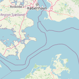
Map view of Naturpark Maribosøerne

Use this park location map to pinpoint Naturpark Maribosøerne in Denmark, understand its exact geographic position, and read its mapped placement within the surrounding landscape more clearly.

Pigeon | © OpenStreetMap contributors

Location context for Naturpark Maribosøerne

Lolland

Explore glacial lake terrain, wetland habitats, and protected estate scenery across southern Denmark.

Naturpark Maribosøerne Photos and Landscape Scenery Visual Reference

Visual documentation of Naturpark Maribosøerne reveals the intricate interplay of interconnected lakes, ancient glacial hills, and continuous forest belts. Examining these protected area images provides a clear understanding of the unique regional geography and tranquil natural character defining the Danish landscape.

A peaceful view of Røgbølle Lake with trees in the foreground, grassy banks, and dense forest bordering the water in the distance under a blue sky with white clouds.

A white manor house with a classic gabled roof sits on the distant shore of a large lake, surrounded by dark green trees under an overcast sky.

Park atlas

Compare nearby regional parks and connected protected landscapes across southern Denmark

Parks Near Naturpark Maribosøerne And Protected Areas In The Surrounding Region

Continuing exploration from Naturpark Maribosøerne opens up adjacent wetland reserves, lake habitats, and coastal protected areas across the surrounding countryside. Comparing these regional landscapes reveals shared glacial geography, woodland mosaics, and diverse freshwater ecosystems throughout southern Denmark.
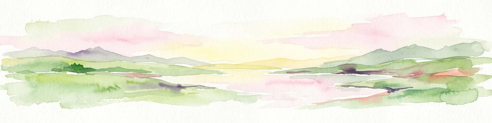
A watercolor painting of a rolling coastal landscape with green fields, sparse trees, a winding water channel, and soft pink and yellow sky.
Nature reserveLolland
About 16 km away#1 closest

South

Saksfjed-Hyllekrog Nature Reserve: Coastal Geography and Protected Landscapes of Southern Lolland

Mapped protected wetlands, coastal spits, and polder terrain in southern Denmark.

The Saksfjed-Hyllekrog nature reserve protects a mosaic of woodland, coastal meadows, and shorelines on the southern coast of Lolland. This geographic record details the reserve's polder embankments, the Hyllekrog coastal spit, and the interaction between reclaimed land and open marine waters, highlighting its importance as a Ramsar and Natura 2000 site.

Area
2.174 km²
Established
1995
Relief
Lowland
Climate
Temperate
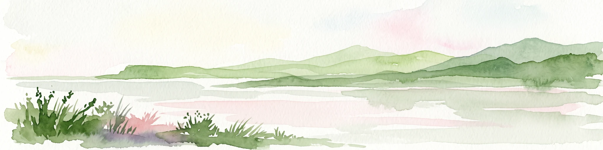
A soft watercolor illustration of a coastal landscape with rolling green hills and pink and yellow sky reflected in calm water.
Nature reserveGermany
About 25 km away#2 closest

Southwest

Fehmarnbelt Nature Reserve: Exploring Marine Geography and Protected Baltic Sea Habitats

Submerged trench, boulder reefs, and marine migration corridors

Fehmarnbelt is an ecologically significant nature reserve in the German Baltic Sea, recognized for its role in water exchange between two major seas. The area features a deep trench, dynamic megaripple formations, and boulder reefs that support complex benthic communities. This site stands as a key protected landscape for marine biodiversity and harbor porpoise preservation within the region.

Area
280 km²
Established
2017
Relief
Lowland
Climate
Temperate
A horizontal watercolor painting showing a soft green shoreline in the foreground and rolling hills across the water in the distance.
Nature reserveNaestved Municipality
About 44 km away#3 closest

North

Dybsø Nature Reserve: Protected Coastal Landscape in Naestved Municipality

Geographic atlas of a protected Danish barrier island

Dybsø is a distinct barrier island situated off the coast of Zealand. Its protected landscape consists of open grasslands, coastal reed beds, and freshwater ponds that shelter the shallow waters of the fjord system. As a designated nature reserve, the area represents a critical wildlife refuge, maintained through traditional grazing to preserve its unique maritime terrain and geological history.

Area
1.34 km²
Established
1978
Relief
Lowland
Climate
Temperate
Wildlife reserveDenmark
About 45 km away#4 closest

North

Dybsø Fjord Wildlife Reserve: Coastal Geography and Protected Wetland Map in Denmark

A shallow fjord system on the southwestern coast of Zealand

Dybsø Fjord represents a primary protected landscape in Denmark, featuring a broad and exceptionally shallow lagoon environment. By tracing its boundaries and surrounding peninsulas, users can analyze a critical wetland habitat that supports international bird protection networks and reflects the unique coastal scenery of the Baltic region.

Area
17 km²
Established
1940
Relief
Lowland
Scope
Mixed
Nature reserveDenmark
About 54 km away#5 closest

North

Stigsnæs-Borreby-Basnæs Nor Nature Reserve: Mapped Geography and Coastal Landscape Context

Protected wetlands and migration corridors in southern Denmark

Stigsnæs-Borreby-Basnæs Nor encompasses a complex interplay of manor-influenced farmland, reed-fringed shallows, and essential marshlands. This nature reserve functions as a critical funnel for migratory raptors and waterfowl on the southwestern edge of the Zealand coast. The area integrates deep cultural history with internationally recognized habitats, offering a clear window into the coastal terrain and wetland structure of the region.

Area
12.15 km²
Established
1978
Relief
Lowland
Scope
Mixed
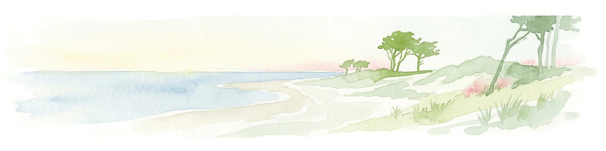
Watercolor illustration showing a coastal lagoon with sandy shoreline, calm water, sand dunes, and sparse vegetation including trees and grasses
National parkMecklenburg-Vorpommern
About 69 km away#6 closest

East

Western Pomerania Lagoon Area National Park: Detailed Geographic and Protected Landscape Context

Explore its mapped boundaries and unique Baltic Sea coastal geography.

Western Pomerania Lagoon Area National Park is a vital protected landscape in Mecklenburg-Vorpommern, renowned for its complex network of peninsulas, islands, and extremely shallow brackish 'bodden' waters. This page serves as an atlas entry, detailing the park's geographic features, its distinctive wind-driven water level fluctuations, and its ecological importance as a major migratory bird staging area. Users can investigate the mapped extent of this significant German national park and understand its unique place within the regional geography.

Area
805 km²
Established
1990
IUCN
II
Relief
Lowland
Nature reserveFaxe Municipality
About 76 km away#7 closest

Northeast

Bagholt Mose: Protected Peatland Mosaic and Fen Geography in Faxe Municipality, Denmark

A high-value Natura 2000 protected wetland and bog habitat.

Bagholt Mose is a significant nature reserve situated within the Munkeskov forest of southern Zealand. The landscape features a distinct combination of historical peat cuttings and raised bog remnants, which together form a rare mosaic of nutrient-poor and calcareous fen communities that support an exceptional diversity of lowland bog flora.

Area
0.17 km²
Established
1985
Relief
Lowland
Scope
Terrestrial
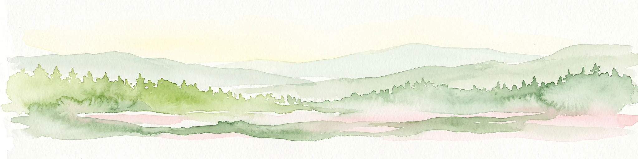
A soft watercolor illustration showing a hazy green landscape with rolling hills, a line of trees, and a calm body of water in the foreground.
Nature reserveKalundborg Municipality
About 90 km away#8 closest

North

Flasken Nature Reserve: Mapped Protected Landscapes in Kalundborg Municipality

Coastal river mouths and brackish lagoon ecology

Flasken stands as a significant protected nature reserve in western Denmark, defined by the confluence of the Halleby Å river and the Storebælt. This mapped landscape provides essential context for understanding the long-term coastal geomorphology of the Reersø tombolo and the wider wetland ecosystems of the Åmosen basin.

Established
1979
Relief
Lowland
Climate
Temperate
Access
Access unknown

Common questions about visiting, size, designation, and location context for Naturpark Maribosøerne

Naturpark Maribosøerne FAQs for park facts, access, geography, and protected area context

Find quick answers about Naturpark Maribosøerne, including protected-area facts, park geography, trail and visitor context, and how the park fits into its surrounding country and regional landscape.
MoriAtlas Explorer

Continue Your Protected Areas Search Across the Global Atlas

Deepen your exploration by continuing the structured search for national parks and protected areas worldwide. Utilize the comprehensive filtering capabilities to compare different conservation landscapes and refine your understanding of global park geography. Discover more about the distribution and characteristics of protected natural areas.

Global natural geography