
Why Naturschutzgebiet Schlingenbachtal stands out
The reserve is best known for its meandering Schlingenbach stream and its large, near-natural meadows of wet grassland that follow the course of the brook. It also stands out for the spring-fed alder floodplain forest in its eastern half, which represents one of the relatively intact valley-bottom woodland habitats in this part of the Bergisches Land. Together, these features make the area a representative example of a Bergisches Bachaue, a small stream valley with extensive floodplain meadows, scattered alder stands, and forested slopes, and an important node within the regional Biotopverbund (biotope connectivity network).
Naturschutzgebiet Schlingenbachtal history and protected-area timeline
The Schlingenbachtal area was shaped over centuries by small-scale agricultural and milling activity typical of the Bergisches Land. Mills such as the former Schlingenthaler Mühle once exploited the brook's flow, and the valley still carries the imprint of this rural heritage in its pattern of grassland, woodland margins, and isolated farmsteads known as Weiler.
In the late twentieth century, as part of broader landscape planning in North Rhine-Westphalia, the valley was surveyed and recognized for its ecological value. In 1988, it was formally designated as a Naturschutzgebiet under the Landschaftsplan Südkreis (Bergisch Gladbach, Overath, Rösrath).
The designation established explicit protection goals aimed at preserving the stream and its floodplain, the wet meadows, the alder and swamp forests, and the springs, and at restoring near-natural floodplain and slope forests. Since then the area has been administered by the Untere Landschaftsbehörde of the Rheinisch-Bergischer Kreis and remains one of the smaller but ecologically representative stream-valley reserves in this part of the Agger drainage.
Naturschutzgebiet Schlingenbachtal landscape and geographic character
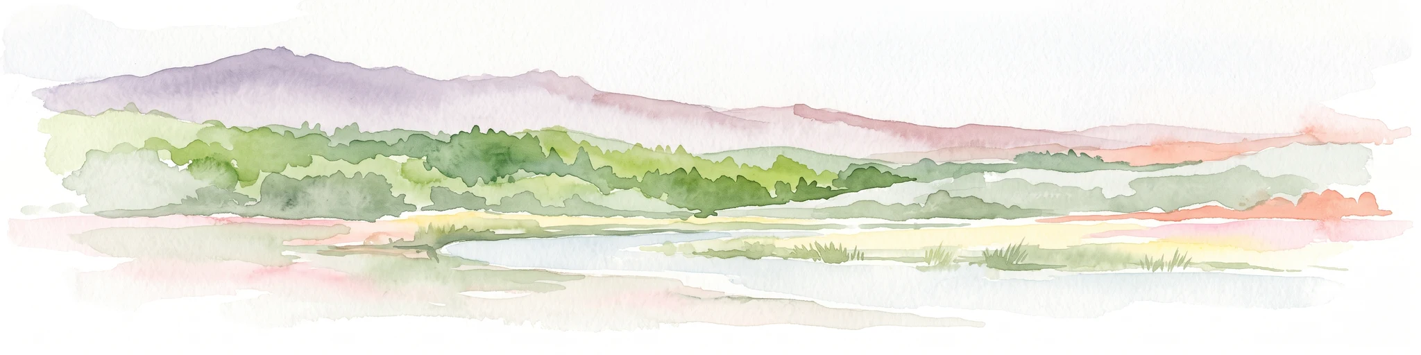
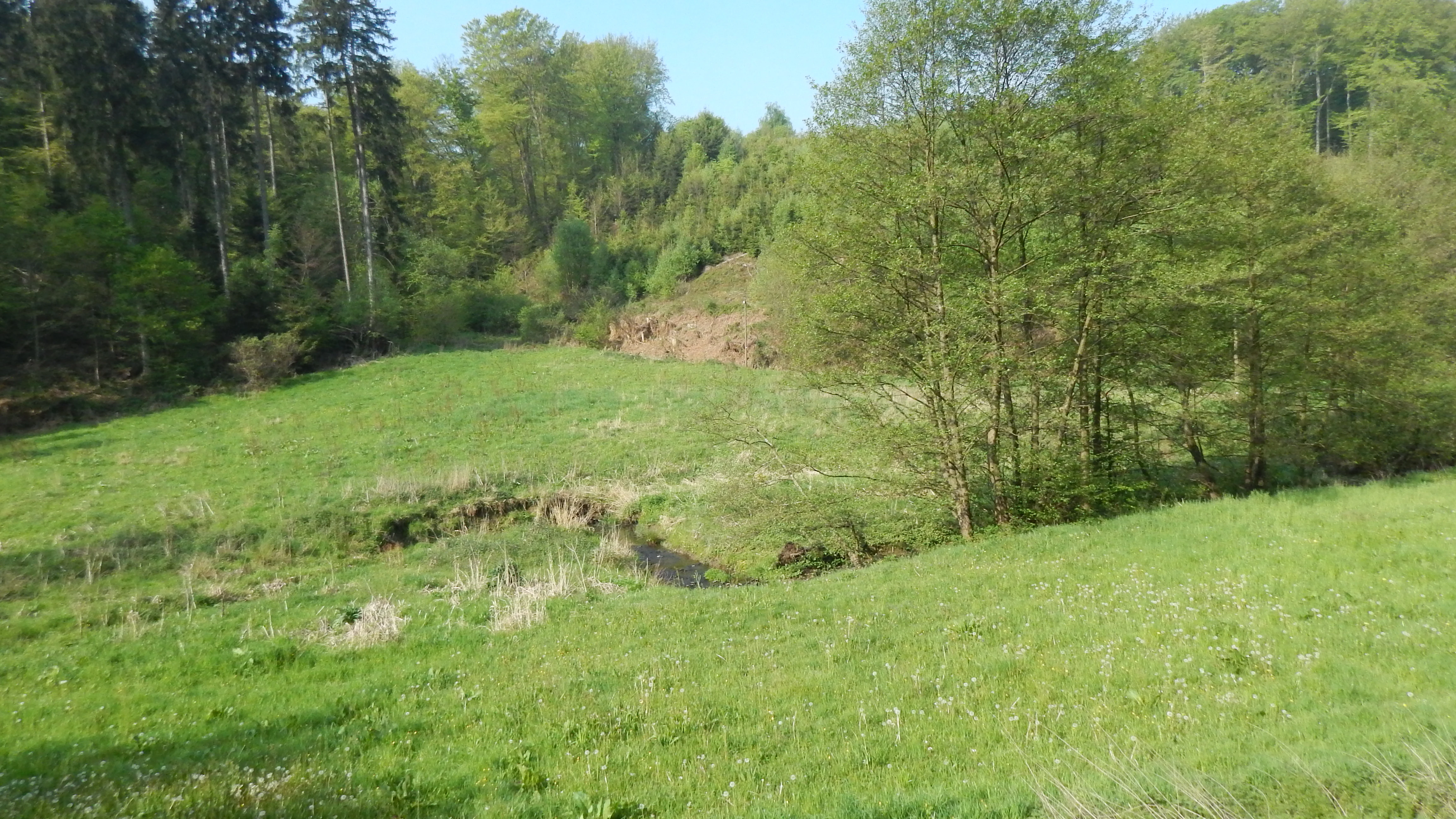
The reserve occupies a typical Bergisches Land stream valley: narrow, V-shaped in its upper sections, widening slightly where the Schlingenbach slows and meanders across its floodplain before reaching the Agger. Steep slopes, often wooded with spruce or beech, descend to the valley floor on both sides, framing the brook in a green, enclosed setting.
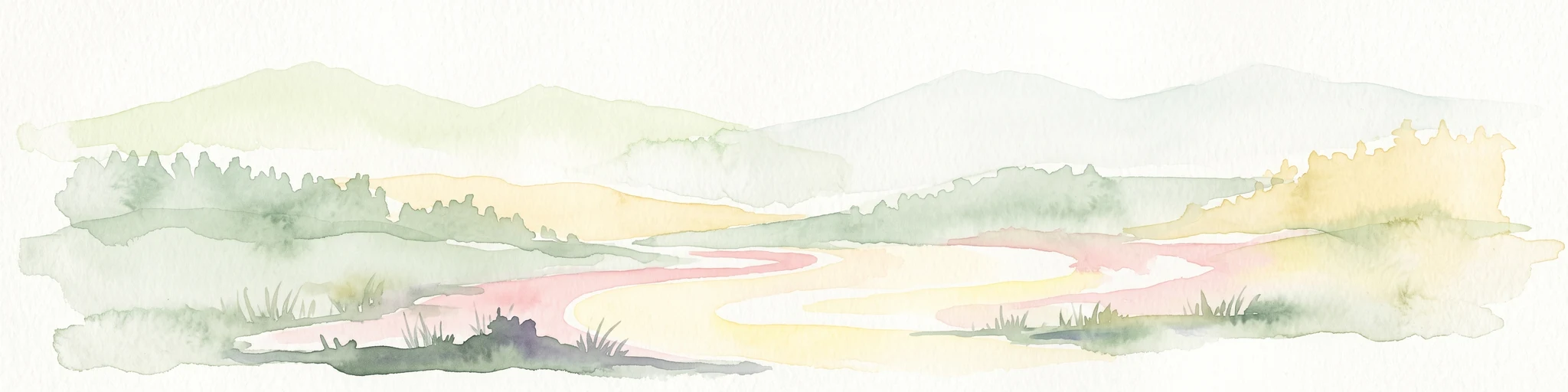
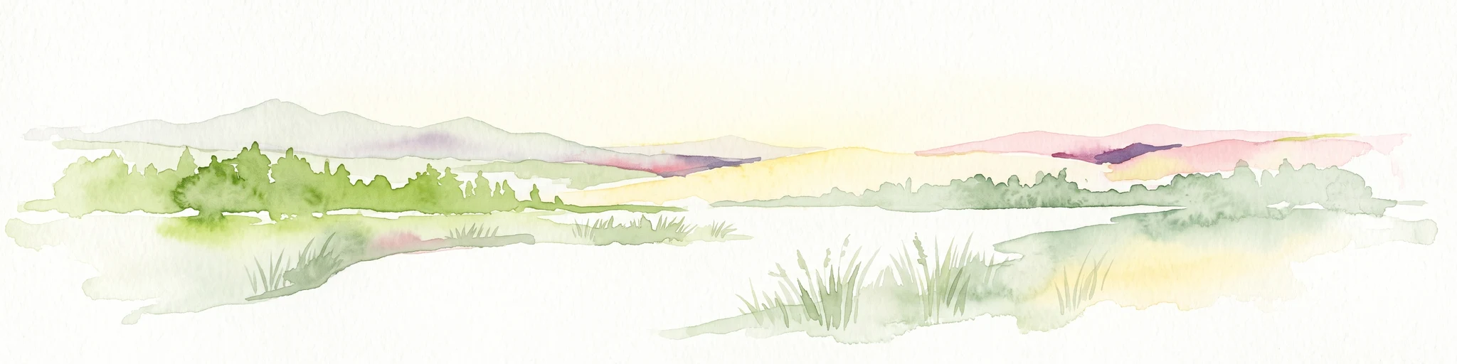
The valley floor itself is the most distinctive landscape feature. In the western half, a band of open, near-natural floodplain grassland stretches along the brook, broken only by the meandering course of the Schlingenbach and the small fishpond complex near the former Schlingenthaler Mühle. The eastern half is more tightly enclosed, with the slopes drawing close to the brook and the floor dominated by alder forest and conifer plantations.
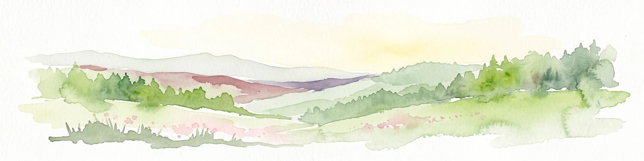
Around the edges of the reserve, on the plateau above the valley, scattered Weiler (small hamlets) and farmsteads break the otherwise continuous forest cover, with associated patches of grassland. This mosaic of enclosed forest, open valley floor, scattered hamlets, and headwater springs within a heavily wooded region gives the protected area a pronounced and visually clear structural contrast.
Naturschutzgebiet Schlingenbachtal ecosystems, habitats, and plant life
Ecologically, the reserve is defined by the interaction between flowing water, floodplain, and forest. The Schlingenbach itself is a small, near-natural lowland stream with meandering sections and a small artificial pond complex where the valley is crossed by the L 153 road. Its water regime and valley shape have allowed the development of a floodplain mosaic dominated by Auengrünland, floodplain grassland at multiple moisture levels.
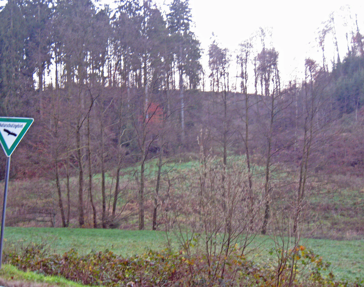
Valley-bottom woodlands are dominated by alder (Erle), forming quellig-nasse Erlenauwälder where springs emerge from the slopes and the ground stays permanently wet. These alder stands are complemented by small patches of Bruch- und Sumpfwald, marsh and swamp forest, and they represent one of the more intact woodland habitats in this forested part of North Rhine-Westphalia. Surrounding slopes and the plateau above the valley carry the regional forest cover, a mix of spruce plantations and more natural beech forest, with intermittent clearings around the hamlets.
The combination of running water, spring habitats, wet grassland, and alderwood is the ecological core of the reserve. Together these habitats support a diversity of plant and animal communities associated with near-natural stream valleys, and they link upstream woodland and meadow habitats to the larger Agger river system through the regional Biotopverbund.
Naturschutzgebiet Schlingenbachtal wildlife and species highlights
The Schlingenbachtal reserve is valued primarily for its habitat structure rather than for individual flagship species, and the source material emphasizes the presence of habitat types rather than detailed species lists. The combination of flowing water, wet meadows, springs, and alder forest is typical of the kind of stream valley that supports amphibian populations, dragonflies and other aquatic invertebrates, and a rich breeding and foraging bird community associated with wet woodland and meadow habitats.
Spring-fed sections of the brook and the surrounding alder forest are particularly important for species that depend on saturated, oxygen-rich, shaded waters and on undisturbed forest floor conditions. The mosaic of open grassland and forest edge in the valley provides additional nesting and feeding habitat for woodland and farmland-edge birds. Because the reserve sits within a wider forested landscape and is connected to other protected valleys along the Agger, it also plays a role in broader ecological connectivity for species that move along stream corridors.
Naturschutzgebiet Schlingenbachtal conservation status and protection priorities
Conservation in the Schlingenbachtal is focused on preserving and developing a small but ecologically complete stream-valley ecosystem. The official Schutzzwecke (protection objectives) call for the preservation and safeguarding of running waters, floodplain forests, spring areas, wet and moist grasslands, and marsh and swamp forests. They also identify the area as a Biotopverbundfläche, a habitat network area, of outstanding importance.
In practical terms, the protection aims concentrate on three tasks: keeping the Schlingenbach and its floodplain in a near-natural state, maintaining the wet meadows along the Bachtal and around the Quellbereiche (spring areas), and restoring near-natural floodplain and slope forests along the valley. Grazing by cattle, horses, and sheep on parts of the open plateau still shapes the grassland character and is consistent with the reserve's goals of maintaining open, semi-natural meadow habitats.
The reserve's wider conservation value lies in its function as a stepping stone within a network of stream valleys protected along the Agger and in the wider Bergisches Land. In a heavily forested and historically drained region, the persistence of near-natural floodplain grassland and spring alderwood here is regionally significant for habitat connectivity and for the species associated with these habitats.
Naturschutzgebiet Schlingenbachtal cultural meaning and human context
The Schlingenbachtal carries the marks of long-standing rural land use typical of the Bergisches Land. The course of the brook once powered small mills, including the former Schlingenthaler Mühle near the western end of the reserve, and the valley floor was historically maintained as hay meadow and pasture. Today, the landscape still shows the pattern of scattered Weiler (small hamlets), meadows, and surrounding forest that arose from this mixed farming and forestry tradition.
Continuity of low-intensity grazing by cattle, horses, and sheep on parts of the plateau has helped to keep portions of the landscape open and is recognized within the reserve's management objectives as a way of maintaining the semi-natural character of the grasslands, rather than as a contradiction of the conservation aims.
Top sights and standout views in Naturschutzgebiet Schlingenbachtal
The key features of Naturschutzgebiet Schlingenbachtal are concentrated along a short stretch of brook, but together they form an unusually complete stream-valley ecosystem for this part of North Rhine-Westphalia.
These include the near-natural meandering course of the Schlingenbach, the large area of wet floodplain grassland on the valley floor, the spring-fed alder floodplain forest in the eastern half, and the surrounding slopes of spruce and beech forest, all embedded within a broader forest landscape and linked to the Agger river system through the regional Biotopverbund.
Best time to visit Naturschutzgebiet Schlingenbachtal
Spring and early summer are generally the most rewarding periods for visiting a stream valley such as the Schlingenbachtal. The floodplain meadows are then at their most diverse in flowering plants, and the contrast between open grassland and fresh green woodland is at its strongest. Wet ground underfoot is normal throughout much of the year, so sturdier footwear is advisable even in drier summer months.
In late summer and autumn, the alder and beech woodland along the valley takes on deeper color, and the meanders of the Schlingenbach are easier to follow in lower vegetation. Winter visits, while quieter for wildlife observation, can give a clearer view of the valley's overall shape, with the open floodplain meadows standing out against the bare deciduous slopes.