
Why Oberhohenberg stands out
Oberhohenberg is best known for protecting the entire cone of the Oberhohenberg zeugenberg, a landmark isolated hill on the Swabian Alb whose summit at 1010 meters is the second highest point of the range. The protected area is valued for its mix of block-debris forest on the summit, a roughly ten-meter rock face on the western slope, former quarries, and patches of relict wet meadow and dry grassland vegetation. These contrasting habitats give the small reserve an unusually diverse landscape character for its size.
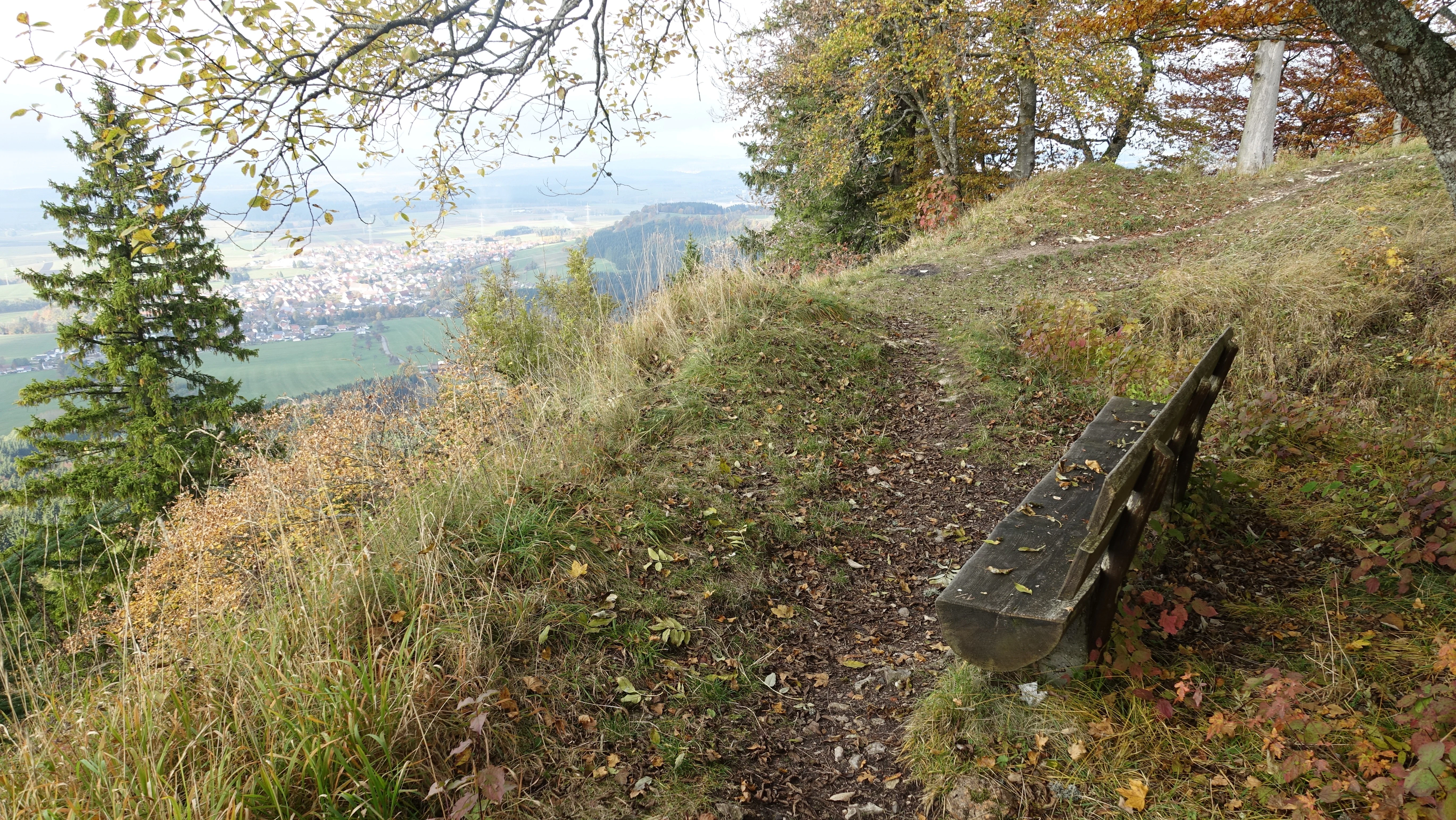
Oberhohenberg history and protected-area timeline
The Oberhohenberg landscape protection area was established on 1 February 1953 by ordinance of the Landratsamt Rottweil, the district office of the former Landkreis Rottweil, which at that time was responsible for the area that now includes Schömberg. The protection was issued as part of a broader collective ordinance covering landscape features in the district rather than as a stand-alone designation with a detailed individual rationale.
According to the ordinance's records, the primary purpose of the protection was to guard the landscape feature against what the document termed "Verunstaltung," or visual disturbance and unsightly alteration. The designation has since been administered by the Landratsamt Zollernalbkreis following district reorganizations in Baden-Württemberg. In more recent decades, the area has also become embedded in the European Natura 2000 network through its incorporation within the Südwestalb und Oberes Donautal Special Protection Area, indicating its continuing ecological relevance alongside its original landscape-aesthetic function.
Oberhohenberg landscape and geographic character
The landscape of Oberhohenberg is dominated by a single, well-defined mountain cone, a classic zeugenberg of the Swabian Alb. The summit forms a rounded cap of block debris, colonised by a special type of forest known as blockschuttwald, in which trees grow among fragmented limestone rubble. The western side of the summit is defined by a roughly ten-meter-high rock face that exposes the layered limestone structure of the hill and gives the cone a striking vertical element.
Much of the cone is forested, producing a dark, closed appearance against the lighter open plateau of the surrounding Swabian Alb. The northern and eastern flanks of the hill include open land that breaks up the woodland cover. Two former quarries, one on the western flank and one on the southern side, are part of the protected landscape and reflect the historical use of the hill as a source of limestone. These quarry sites, together with the relict grassland patches, add small-scale structural variety to the otherwise compact cone.
Oberhohenberg ecosystems, habitats, and plant life
The ecological character of the Oberhohenberg protected area reflects the typical mosaic of the higher Swabian Alb. The summit and upper slopes carry a blockschuttwald, a forest community adapted to thin limestone soils and unstable rubble surfaces, which is unusual in the region and one of the defining natural features of the protected site. This upper forest grades down into more conventional mixed woodland on the more stable flanks.
On the northern and eastern edges of the area, patches of open ground host relict vegetation communities. Among these, near-natural wet meadows and dry grassland fragments survive as small but ecologically valuable enclaves, often dependent on long continuity of low-intensity land use. Together with the rocky outcrops and former quarry faces, these open habitats contribute a micro-mosaic of dry, mesic, and moist conditions across a relatively small geographic footprint, increasing the area's biodiversity value beyond what its size would suggest.
Oberhohenberg wildlife and species highlights
The varied micro-habitats of Oberhohenberg support a range of wildlife typical of the higher Swabian Alb landscape, although the protection area itself is small and selective rather than comprehensive. The extensive forest cover provides habitat for woodland birds and small mammals, while the cliffs and block-debris areas offer shelter for reptiles and invertebrates adapted to rocky, sun-exposed terrain.
The open relict grassland and meadow patches in the north and east add further ecological value by hosting butterflies, wild bees, and other insects associated with species-rich dry and wet grassland communities. The fact that the entire landscape protection area lies within the Südwestalb und Oberes Donautal Special Protection Area underscores its recognised importance for bird species of the broader Swabian Alb plateau and Danube valley region.
Oberhohenberg conservation status and protection priorities
The Oberhohenberg landscape protection area serves both a traditional landscape-protection role and a broader ecological function. Its original 1953 ordinance focused on safeguarding the visual character of the zeugenberg and its surroundings, but the modern conservation significance of the site is reinforced by its position within the Natura 2000 network.
The area sits entirely within the Südwestalb und Oberes Donautal Special Protection Area (SPA) under the EU Birds Directive, recognising the importance of the broader Swabian Alb plateau and Danube valley landscape for protected bird species. To the north, the Oberhohenberg borders the Großer Heuberg und Donautal Habitats Directive (FFH) area, creating a contiguous complex of protected sites that enhances the connectivity and resilience of habitats across the region. Together, these designations support protection of the forest types on the cone as well as the relict dry and wet grassland communities at its base.
Oberhohenberg cultural meaning and human context
The Oberhohenberg is closely tied to the long-standing human relationship with the Swabian Alb landscape, where isolated zeugenberge have historically served as orientation points, landmarks, and sources of building stone. The two former quarries within the protected area reflect the role of the hill as a local source of limestone material for surrounding communities.
The hill also lies in a region with deep-rooted farming traditions, and the surviving relict wet meadows and dry grasslands are the product of long continuity of low-intensity agricultural use. These cultural-landscape elements form an integral part of the protection area's identity, alongside the natural geological and forest features of the cone itself.
Top sights and standout views in Oberhohenberg
The Oberhohenberg protection area stands out for its compact yet unusually varied combination of features: a zeugenberg summit that ranks as the second highest point on the Swabian Alb, a protective blockschuttwald community, a roughly ten-meter rock face on the western slope, two former quarries, and surviving relict wet meadow and dry grassland patches. The site's embedding within the Natura 2000 network, including the Südwestalb und Oberes Donautal SPA, further enhances its conservation relevance. Its classic 1950s designation also makes it a representative example of the postwar German Landschaftsschutzgebiet approach to regional landscape protection.
Best time to visit Oberhohenberg
The character of the Oberhohenberg landscape protection area changes notably with the seasons. Late spring and early summer are often the most rewarding periods for the relict dry and wet grassland patches on the northern and eastern flanks, when flowering plants and associated insects are most visible. Summer offers dense green forest cover on the cone and is well suited to walking along the lower edges and viewing the prominent rock face and summit silhouette.
Autumn brings strong colour contrast between the beech-and-conifer forest of the cone and the surrounding open plateau farmland, while winter can reveal the structural form of the zeugenberg most clearly, with bare trees exposing the conical shape of the hill against the Swabian Alb plateau. Visitors should generally expect a continental Swabian Alb climate with cool temperatures at elevation and weather that can change quickly on exposed slopes.