Mori Atlas logo
Park earthquake history

A structured geographic catalogue of instrumental seismic events near the Pyrenees massif.

Recorded Seismic Activity and Historical Earthquake Records for Ordesa y Monte Perdido National Park

This historical catalogue documents recorded earthquakes situated in the proximity of Ordesa y Monte Perdido National Park. Each entry provides event details including magnitude, focal depth, and calculated epicentre distance from the park boundaries. Access these records to analyze regional seismic patterns and historical activity within the diverse geological context of the central Pyrenees.

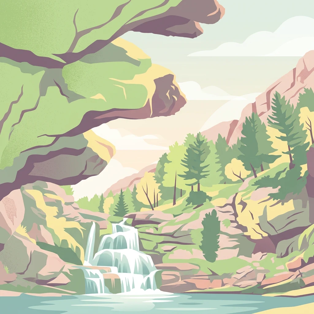
Illustrated waterfall cascading into a lake, surrounded by rocky cliffs and green trees under a partly cloudy sky

Dramatic glacial valleys and karst peaks in the Spanish Pyrenees

Ordesa y Monte Perdido National Park

Ordesa y Monte Perdido National Park is one of Spain's oldest and most spectacular protected areas, located in the central Pyrenees of Huesca province in the Aragon region. The park was originally established in 1918 as the Ordesa Valley National Park and expanded in 1982 to cover its current extent of 156 square kilometers. The protected area encompasses a dramatic landscape of deep glacial valleys, towering limestone cliffs, karst formations, and the iconic Monte Perdido, the highest limestone mountain in Europe at 3,355 meters. The park features a remarkable altitudinal range from approximately 700 meters in the valley floors to the summit of Monte Perdido, creating diverse ecological zones and stunning visual contrast between lush forests and barren alpine peaks. In 1997, the park was inscribed as a UNESCO World Heritage Site as part of the transboundary Pyrénées-Mont Perdu property, recognizing its outstanding universal value as a cultural landscape where nature and traditional human practices have intertwined for centuries.

Location
Spain
Park type
National park
Established
1918
Area
156.1 km²
Highest point
3,355 m
Ordesa y Monte Perdido National Park Atlas

Trace regional seismic history through catalogued event depths, distances, and magnitudes.

Search Historical Earthquake Records Near Ordesa y Monte Perdido National Park

The historical catalog aggregates recorded seismic events based on the geographical proximity of their calculated epicentres to Ordesa y Monte Perdido National Park. Each entry provides verified data points, including event dates, magnitudes, focal depths, reported coordinates, precise distances, and reference source access.

Sort by
Magnitude
Location

This page describes catalogued earthquakes associated with the park by epicentre location and distance. It does not establish causation, assess current danger, or predict future earthquakes.

No earthquake records match the current filters

Park atlas

Expand geographic exploration by navigating additional global protected areas and park profiles.

Discover Other Protected Landscapes Beyond Ordesa y Monte Perdido National Park

Expanding your search from Ordesa y Monte Perdido National Park allows for the discovery of diverse global protected territories and national reserves. Comparative geographic profiles assist in mapping regional conservation networks and identifying notable terrain systems across different continents.
National parkOccitanie
Mapped location lies within the park boundary#1 closest

West

Pyrénées-Mont Perdu National Park: Alpine Geography and Transboundary Protected Landscapes

Glacial cirques, limestone canyons, and alpine pastoral heritage.

Spanning the high Pyrenees, Pyrénées-Mont Perdu represents a rare union of dramatic geological formations and human cultural heritage. The terrain features vertical limestone walls, deep carved canyons, and expansive cirques that host both diverse alpine ecosystems and active seasonal migration routes. This protected area remains a benchmark for studying the interplay between powerful glacial geography and historic mountain pastoralism in Europe.

Area
306.39 km²
Established
1997
Relief
Mountain
Climate
Alpine
National parkHautes-Pyrénées
Park boundaries overlap#2 closest

Northwest

Pyrénées National Park: Protected Landscape & Transboundary Protected Area Atlas

Discover Hautes-Pyrénées' dramatic glacial terrain and alpine environments.

Pyrénées National Park is a significant protected area in France's Hautes-Pyrénées department, renowned for its dramatic glacial cirques, high-altitude lakes, and extensive mountain landscapes. Established as a national park, it offers rich geographic context for atlas exploration, showcasing millions of years of geological formation shaped by tectonic uplift and glacial carving. This park is also notable for its transboundary conservation efforts with Spain, contributing to a broader protected region. Explore its unique terrain, from towering limestone formations to alpine meadows, and understand its place within the Pyrenean mountain range.

Area
458 km²
Established
1967
IUCN
II
Relief
Mountain
Nature reserveOccitanie
About 25 km away#3 closest

Northeast

Réserve naturelle régionale d'Aulon: Mountain Geography and Protected Area Mapping

A diverse protected landscape spanning the central Pyrenees of Occitanie.

This regional nature reserve provides a focused look at central Pyrenean mountain environments. Covering over 1,200 hectares, the area features a steep altitudinal gradient, blending working pastoral meadows with critical habitats such as rocky slopes, conifer forests, and glacial landforms. The site serves as a vital anchor within the broader network of protected mountain terrain found throughout the Occitanie region.

Area
12.37 km²
Established
2001
IUCN
IV
Relief
Mountain
Nature reservePyrénées-Atlantiques
About 33 km away#4 closest

Northwest

Vallée du Soussouéou Protected Nature Reserve: Geographic Atlas and Mountain Terrain

A roadless glacial valley in the French Pyrénées-Atlantiques

Vallée du Soussouéou offers a rare glimpse into a roadless Pyrenean landscape. This protected area features a classic glacial U-shaped valley, significant peatland ecosystems, and diverse alpine habitats that support Pyrenean fauna. As a quiet extension of the ecological network in the Western Pyrenees, the valley remains an important site for understanding mountain geography and glacial geomorphology in southwestern France.

Area
45.39 km²
Established
1995
Relief
Mountain
Scope
Terrestrial
Nature reserveOccitanie
About 35 km away#5 closest

Northeast

Réserve naturelle régionale du Massif du Montious: Regional Nature Reserve in Occitanie

Granitic massif geography and Pyrenean protected landscapes

Located in the heart of the Hautes-Pyrénées, this reserve captures the geological and biological essence of the Central Pyrenees. From the summit grasslands at 2,171 metres to the sheltered glacial basins, the terrain provides a comprehensive look at regional mountain ecosystems and Hercynian geological heritage.

Area
7.38 km²
Established
2020
IUCN
IV
Nature reserveOccitanie
About 41 km away#6 closest

North

Réserve naturelle régionale du massif du Pibeste-Aoulhet: Mountain Reserve Atlas

Regional protected landscape mapping in the French Pyrenees

Spanning over 5,000 hectares in the Occitanie region, the Réserve naturelle régionale du massif du Pibeste-Aoulhet serves as a critical biological corridor. This detailed record examines the massif's varied elevations, from lower broadleaf forests to high-altitude rocky cliffs, highlighting its status as one of the largest regional nature reserves in France.

Area
51.103 km²
Established
2012
IUCN
IV
Relief
Mountain
Watercolor illustration of a mountainous landscape with a river, green vegetation, and distant peaks under a light sky
National parkProvince of Lleida
53 km away#7 closest

East

Aigüestortes i Estany de Sant Maurici National Park: Pyrenean High Mountain National Park Landscape

Explore glacial lakes and winding waterways in Catalonia.

Aigüestortes i Estany de Sant Maurici National Park is a premier national park in the Pyrenees, celebrated for its extensive network of almost 200 glacial lakes and the dramatic natural beauty of the Sant Maurici lake. Its landscape is defined by high mountain terrain, characterized by U-shaped valleys, sharp ridges, and unique hydrological features like the Aigüestortes plain's meandering streams. This protected area in the Province of Lleida offers a rich setting for understanding alpine environments and Pyrenean geography through detailed mapping and atlas exploration.

Area
141 km²
Established
1955
IUCN
II
Visitors
525K annual
Watercolor painting of a river winding through a valley with green fields, trees, and distant hills
Protected areaAndorra
105 km away#8 closest

East

Parc Natural Comunal de les Valls del Comapedrosa: Andorra's Highest Protected Alpine Landscape

Explore the Pyrenean terrain and mapped boundaries of Andorra's summit park.

Parc Natural Comunal de les Valls del Comapedrosa is the primary high-altitude protected area in Andorra, defined by its rugged alpine terrain and the presence of Coma Pedrosa, the country's highest peak. This protected landscape offers a significant geographic anchor for exploring the Pyrenees, highlighting the unique mountain conservation efforts. Its mapped boundaries encompass dramatic valleys and steep ridges, providing a clear context for understanding Andorra's mountainous geography through a structured atlas lens.

Area
15.43 km²
Established
2003
IUCN
IV
Relief
Mountain
MoriAtlas Explorer

Continue Exploring Ordesa y Monte Perdido National Park's Protected Landscape and Regional Geography

Dive deeper into the mapped context and geographic specifics of Ordesa y Monte Perdido National Park. This MoriAtlas exploration reveals the park's distinct glacial formations, towering limestone cliffs, and its significant place within the Pyrenean atlas. Understand the park's protected boundaries and the intricate alpine terrain that defines this remarkable natural landscape.