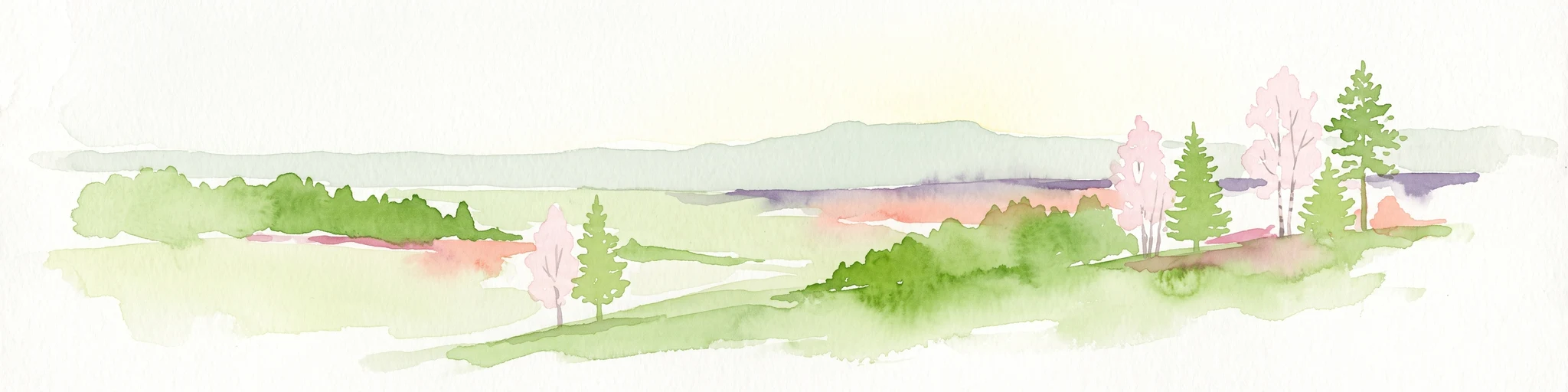
Why Parc naturel de la Vallée de l'Attert stands out
The park is best known for its semi-bocage rural landscape, in which permanent pastures, cultivated plots, hedgerows, and tree-lined screens combine into a classic countryside mosaic shaped by dairy and beef farming. It is also recognized for the ecological corridor formed by the Attert river and its tributaries, with alder wet woodlands, wet meadows, and riparian buffer zones that link into a wider catchment running toward the Rhine system.
Parc naturel de la Vallée de l'Attert history and protected-area timeline
The Parc naturel de la Vallée de l'Attert was officially established on 14 July 1994, giving an environmental framework to a development process that had already been underway in the valley for several years. Its creation carried a regional significance: it was the third natural park to be set up in the Walloon Region and notably the first in the Province of Luxembourg, opening a new chapter for structured nature planning in southern Belgium.
The park's identity was built on the recognition that the Attert valley was already a coherent ecological and administrative unit. Aligning its perimeter with the municipality of Attert allowed the new park to anchor conservation, rural land management, and visitor activity in a single, clearly defined territory, linking the existing cultural and agricultural heritage of the valley into a more coordinated approach.
Parc naturel de la Vallée de l'Attert landscape and geographic character
The landscape of the Parc naturel de la Vallée de l'Attert is shaped by a quiet transition between two very different regional settings. In the northwest, the Ardennes massif and the Anlier forest bring dense woodland, acid soils, and long slopes covered in mixed forest. To the south, the Lorraine country takes over, with its characteristic cuestas forming stepped ridges of plateau and slope that open up the land into broader fields and longer sightlines.
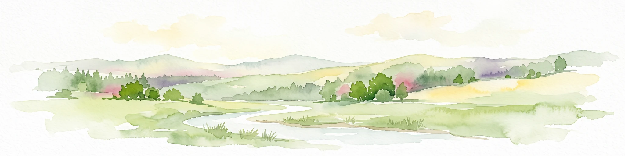
At the valley floor, the terrain softens into a rolling countryside dominated by meadows and fields. The semi-bocage structure is one of the most visible traits of the park: pastures and tilled plots alternate with hedges, bushes, and tree-lined screens, creating a layered, cultivated landscape that retains the feel of a traditional farming region. To the east, more open stretches interrupt this pattern, while toward the west and north, the view closes in again with forest.
The Attert river itself links these elements together. Rising at Nobressart and running east across the park, it carves a shallow valley that collects small tributaries and feeds a mosaic of wet meadows, alluvial alder woods, and riparian tree-lined banks. The result is a landscape where forest, farmland, hedge, and river corridor read as a single, integrated whole.
Parc naturel de la Vallée de l'Attert ecosystems, habitats, and plant life
Ecologically, the park sits at a meeting point between ecosystems of the Ardennes and those of the Lorraine region. Forest cover is significant, with a mix of broadleaved woodland on the sinémurien cuesta and coniferous plantations, especially spruce, on acid Ardennes soils and on abandoned former agricultural plots. The patchwork of communal woodlands gives the valley a fine-grained forest texture, with many small timber stands set among fields.
Open habitats, however, dominate the surface area. Permanent grasslands support dairy and beef farming, while arable land adds seasonal variation. Hedgerows, bushes, and rows of trees provide important structural diversity in the agricultural matrix, offering refuge and movement corridors for a wide range of common rural species.
The river system is the park's ecological backbone. The Attert and its tributaries form a dense network of watercourses, wet zones, and alluvial alder forests, all of which together build a continuous ecological corridor across the valley. This corridor continues beyond the park, following the Attert toward the Alzette and onward through the Sûre, Moselle, and Rhine catchments, linking the park into a much larger river network.
Parc naturel de la Vallée de l'Attert wildlife and species highlights
The wildlife profile of the park is shaped less by iconic large mammals and more by the richness of habitats typical of bocage landscapes and mixed forest. Hedgerows, riparian tree lines, wet meadows, and small woodlands provide shelter and feeding for common European farmland and forest species, including a range of small mammals, birds associated with hedges and woodland edges, and aquatic life tied to the rivers and streams.
The continuous network of rivers, brooks, alder galleries, and wet zones across the valley offers particularly important conditions for amphibians, invertebrates, and freshwater communities. Birdlife benefits from the alternation of open pastures, hedgerows, and forest cover, supporting a mix of farmland, woodland, and waterside species typical of this part of Wallonia.
Parc naturel de la Vallée de l'Attert conservation status and protection priorities
From a conservation perspective, the park's importance lies in its role as a working landscape whose ecological value depends on maintaining traditional land use. Permanent grasslands, hedgerows, tree rows, and small woodlands are not incidental features but core conservation assets, because they sustain the semi-bocage pattern that gives the valley much of its biodiversity.
The river network adds another layer of importance. Wetlands, wet meadows, and alder alluvial forests along the Attert and its tributaries function as a major ecological corridor, and because the Attert ultimately connects to the Sûre, Moselle, and Rhine systems, conservation efforts in the valley have a reach well beyond the park itself. By aligning its perimeter with the municipality of Attert, the park is also able to coordinate land management, agriculture, forestry, and tourism under a single institutional framework, an arrangement that supports long-term habitat continuity in a region where land abandonment and conifer plantation remain real pressures.
Parc naturel de la Vallée de l'Attert cultural meaning and human context
The park's cultural context is rooted in the rural identity of the Attert valley itself. Farming, especially dairy and beef production, has long shaped both the economy and the visual character of the landscape, and the maintenance of hedges, meadows, and tree-lined field boundaries reflects a continuing tradition of mixed agricultural use rather than a preserved historical museum.
The presence of many communal woodlands gives the valley a particular social landscape, with shared forest management still part of local heritage. Cross-border ties are also part of the regional identity: the Attert leaves Belgium for Luxembourg, embedding the park in a wider Lorraine cultural and geographical sphere that extends along the border between the two countries.
Top sights and standout views in Parc naturel de la Vallée de l'Attert
A semi-bocage rural landscape where permanent pastures, hedgerows, and tree rows define the visual character of the valley; a transitional setting between the Ardennes forest of Anlier and the open cuestas of Lorraine; a Forestry mix that combines deciduous woodland on sinémurien substrates with coniferous stands on more acid Ardennes soils; an ecological backbone formed by the Attert river and its tributaries, with alluvial alder forests, wetlands, and riparian corridors; and a cross-border river system that ultimately links the park into the larger Rhine catchment.
Best time to visit Parc naturel de la Vallée de l'Attert
The park's working rural landscape is appealing throughout much of the year. Late spring and early summer tend to bring out the contrast between fresh green hedgerows, blooming meadows, and full-leaf woodland, while autumn highlights the mixed forest character with broadleaves turning alongside the darker conifer stands. Winter visits can be quieter and emphasize the open, gently rolling farmland and the calm of the river and forest mosaic. Because the park is centered on dispersed nature tourism rather than concentrated attractions, the experience is largely shaped by weather and season rather than by formal opening periods.