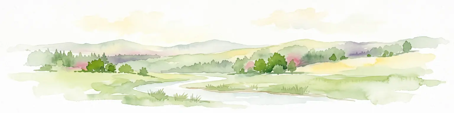
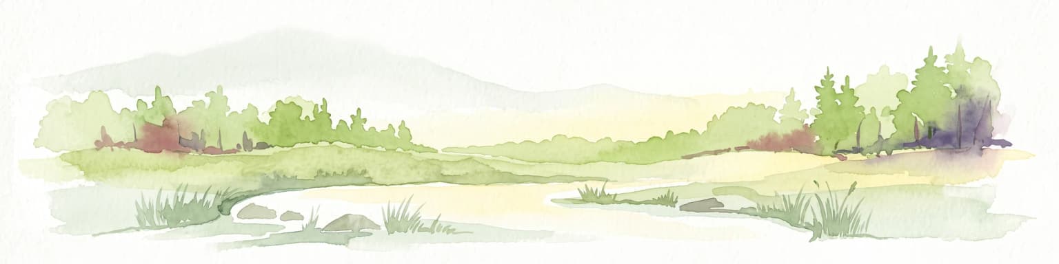
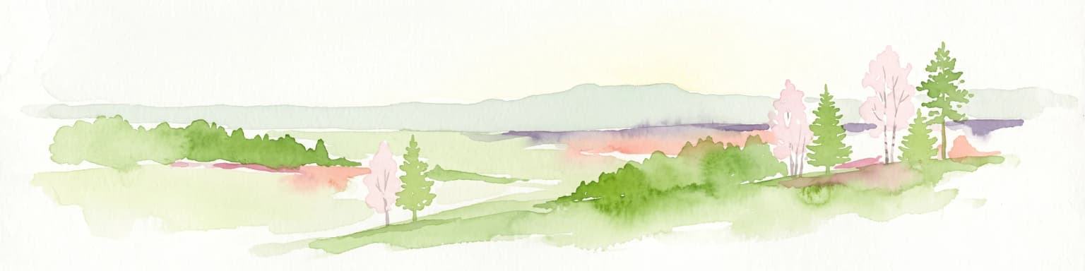
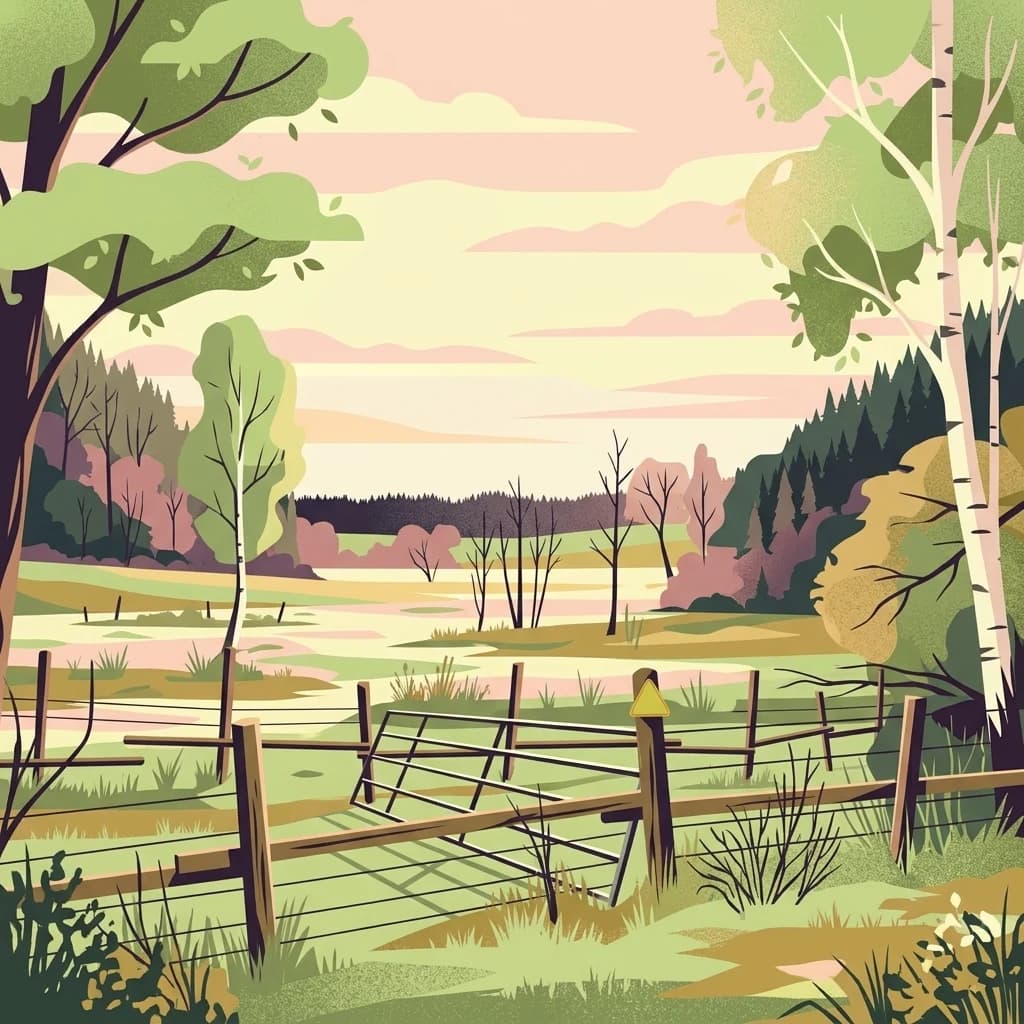
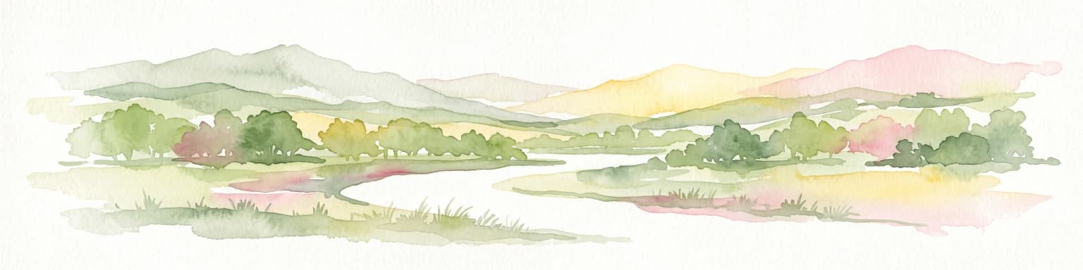
A Walloon natural park shaped by the Attert valley, bocage farmland, and the edge of the Ardennes.
Parc naturel de la Vallée de l'Attert
The Parc naturel de la Vallée de l'Attert is a regional natural park in southeastern Belgium, established on 14 July 1994 to give a coherent environmental framework to a landscape already shaped by centuries of mixed farming and forestry. It was the third natural park created in the Walloon Region and the first in the Province of Luxembourg, marking an early milestone for structured nature-based territorial planning in this part of Belgium.
The park covers a transitional zone between two very different landscapes. To the north and west, it meets the wooded slopes of the Anlier forest on the Ardennes substrate, while to the south it opens onto the cuesta ridges and plateau farmland of the Lorraine region. The territory coincides with the boundaries of the municipality of Attert and centers on the Attert river, which rises in the area and flows east toward the Alzette, Sûre, Moselle, and ultimately the Rhine.
Its identity is closely tied to a working rural landscape. Roughly half of the land is agricultural, dominated by permanent grasslands and a semi-bocage pattern of pastures, fields, hedgerows, and tree-lined screens, while forests cover another large share of the surface, blending deciduous stands with planted conifers. The result is a softly undulating countryside where meadows, hedgerow networks, river corridors, and varied woodland together form one of the park's most distinctive features.