
Mori Atlas logo
National parkParque nacional Laguna de La Restinga

Understanding the mangrove forest channels and arid island terrain of this Venezuelan sanctuary

Parque nacional Laguna de La Restinga: Mapped Coastal Lagoon and Protected Wetland Geography

(Parque Nacional Laguna de La Restinga)

Parque nacional Laguna de La Restinga preserves a vital coastal lagoon and mangrove network on the southern isthmus of Isla de Margarita. This protected area connects the eastern main body of the island with the western Macanao Peninsula, creating a unique transition between marine, brackish, and xerophytic desert landscapes. Visitors and researchers use these maps to trace the intricate channels carved by red and white mangroves and to study the coastal flats that shelter migratory bird populations and marine turtle nesting habitats.

mangrovescoastal lagoonwetlandsisland parkCaribbean coastmarine turtles
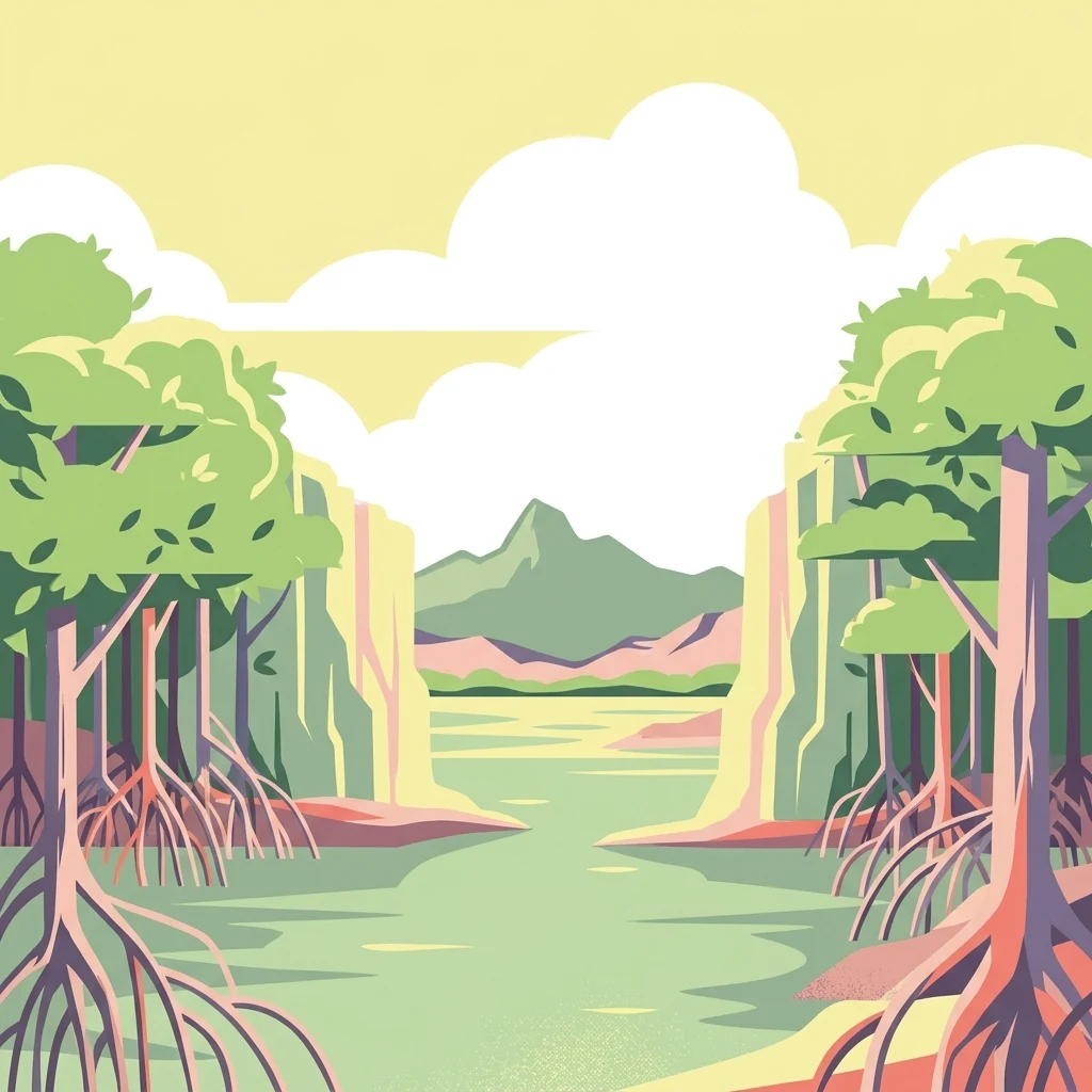
A flat-style digital illustration showing a calm, light green lagoon lined by stylized mangroves with visible prop roots, framed by distant, gently sloping hills under a pale sky with fluffy clouds.

Parque nacional Laguna de La Restinga

National park

Park overview

Structured park overview, official facts, and landscape profile for Laguna de La Restinga National Park

Laguna de La Restinga National Park park facts, protected area profile, and essential visitor context

Review the core facts for Laguna de La Restinga National Park, including designation, size, terrain, visitor scale, habitats, and operating context in one park-focused overview.

About Laguna de La Restinga National Park

Laguna de La Restinga National Park protects one of the most singular coastal environments in Venezuela, a shallow mangrove lagoon that cuts across the narrowest point of Isla de Margarita. The park essentially stitches the island together ecologically, occupying the isthmus between the eastern portion of Margarita and the Macanao Peninsula to the west. Because the lagoon occupies a transitional zone between two landmasses, the protected area captures a remarkable variety of marine, brackish, and terrestrial conditions within its roughly 18,700 hectares of territory.

The lagoon is the defining landscape of the park. Its waters are shallow and sheltered, ringed by dense mangrove stands where red mangroves, black mangroves, white mangroves, and the smaller botoncillo mangrove form a complex root structure that creates natural channels, tunnels, and open water "plazas." These formations have become iconic features of the park, and they serve as nurseries for fish, crustaceans, and mollusks, while also sheltering herons, flamingos, pelicans, and other wading and seabird species from open-water exposure.

Surrounding the mangrove belt, the park extends into the drier parts of the island's coastal plain. Here, thorny and salt-tolerant species such as dividive, abrojo, afilito, rabo de zorro, brusca, and various cardón cacti dominate the vegetation, creating a characteristically arid Caribbean island landscape that contrasts sharply with the green mangrove interior of the lagoon. This mix of mangrove wetland and dry coastal scrub is uncommon among Venezuelan national parks, most of which are defined by forests, mountains, or savannas elsewhere in the country.

The park's significance is reinforced by its role in regional conservation. Nueva Esparta supports eight protected areas in total, and La Restinga is widely considered the most visited and most ecologically prominent of these, combining strong biodiversity value with accessible scenery. Visitors typically explore the lagoon by small motorized boats that glide between the mangrove channels, ending at a beach on the ocean side of the isthmus. Although these tours are a tourism mainstay, they also illustrate how closely local livelihoods, traditional fishing, and the mangrove ecosystem remain linked on Isla de Margarita.

Quick facts and research context for Laguna de La Restinga National Park

Laguna de La Restinga National Park lies on Isla de Margarita, in Nueva Esparta state, Venezuela. It occupies the isthmus that joins the eastern and western halves of the island within the municipality of Tubores. The park was officially established on 6 February 1974 and covers roughly 188 square kilometers, or about 18,700 hectares, of mangrove, lagoon, and dry coastal terrain. It is administered by Venezuela's national parks authority, INPARQUES, and is classified as an IUCN Category II protected area. The park is one of eight protected areas in Nueva Esparta and forms part of the broader network of Venezuelan national parks focused on coastal and marine conservation.

Protection and recognition

Examine the documented protection status and conservation management scope for Parque nacional Laguna de La Restinga.

Parque nacional Laguna de La Restinga Protection Status and International Recognition

Review the mixed protection scope and documented status records compiled for Parque nacional Laguna de La Restinga. Explore the official designation details and administrative framework associated with this protected area.

Protection details

Protection scope
Mixed
Transboundary protection
No
Park context

Deeper park guide and search-rich context for Laguna de La Restinga National Park

Laguna de La Restinga National Park history, landscape, wildlife, and travel context

Explore Laguna de La Restinga National Park through its history, landscape character, ecosystems, wildlife, conservation priorities, cultural context, and seasonal travel timing in a structured park guide built for atlas discovery and search intent.

Why Laguna de La Restinga National Park stands out

The park is best known for its coastal mangrove lagoon, one of the most ecologically important wetland systems in the Venezuelan Caribbean. The mangrove forests shelter breeding populations of marine turtles and serve as a critical wintering and stopover site for migratory and seabird species. The shimmering fish populations, oysters, and shellfish that thrive in the lagoon also support traditional fishing communities that have long depended on the mangrove ecosystem. Beyond the lagoon itself, the park is also recognized for the dramatic scenery where mangrove channels, open water, and dry island vegetation meet. Its position on the narrow isthmus between the main body of Isla de Margarita and the Macanao Peninsula gives it a transitional quality, blending marine, brackish, and arid coastal landscapes in a small geographic footprint. This unusual combination of habitats is what gives La Restinga its distinctive ecological character within Venezuela's national park system.
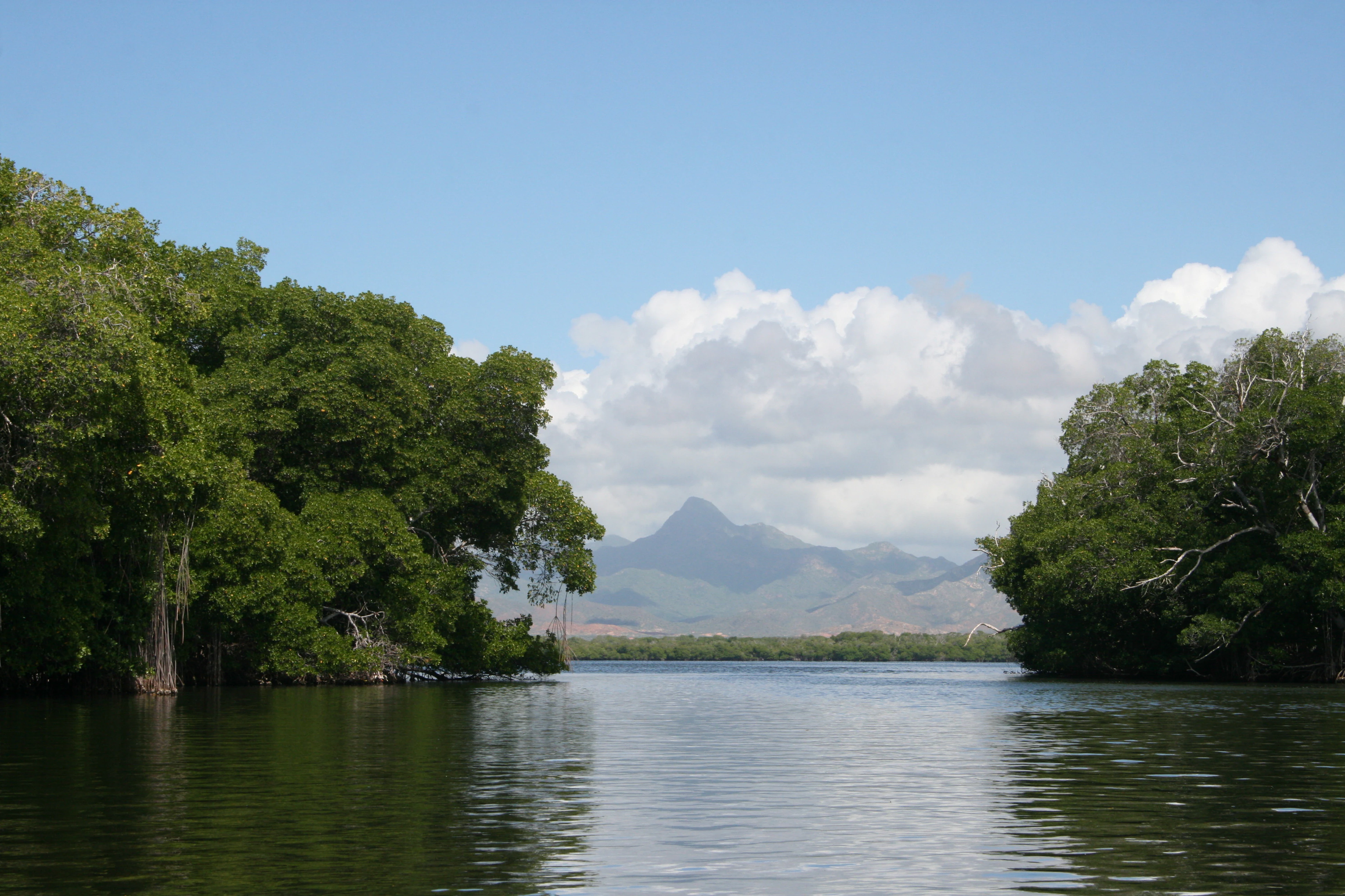
A calm, wide, coastal lagoon lined with dense green mangrove forests on both sides, with hazy mountains visible in the distance under a blue sky with fluffy white clouds.
A view of the coastal lagoon at Laguna de La Restinga National Park, featuring dense mangrove vegetation and distant mountains.

Laguna de La Restinga National Park history and protected-area timeline

Laguna de La Restinga National Park was officially established on 6 February 1974 as part of a broader wave of national park designations in Venezuela during the early 1970s, a period when the country significantly expanded its system of protected areas to safeguard representative coastal, marine, and island ecosystems. The park was created specifically to protect the lagoon, its mangrove forests, and the surrounding dry coastal vegetation at the narrowest point of Isla de Margarita.

Since its establishment, the park has been administered by INPARQUES, Venezuela's national parks authority, and has remained one of the eight protected areas within Nueva Esparta state. Over time, it has come to represent not only a conservation success for mangrove and seabird habitat but also a centerpiece of environmental identity for Isla de Margarita, shaping how residents and visitors understand the natural heritage of the island.

Laguna de La Restinga National Park landscape and geographic character

The landscape of Laguna de La Restinga National Park is defined by the long, narrow coastal lagoon that crosses the southern isthmus of Isla de Margarita. The lagoon itself is shallow and sheltered, fringed by continuous stands of mangrove whose roots carve the shoreline into a maze of channels, tunnels, and open water "plazas." These mangrove formations are the most recognizable landforms of the park, creating a soft, watery topography where the boundary between land and sea becomes blurred.

Beyond the mangrove fringe, the terrain rises gently into dry coastal flats. Sandy soils support sparse vegetation of thorny shrubs, salt-tolerant trees, and columnar cacti such as the cardón, giving the surrounding landscape an open, almost desert-like feel typical of the leeward Caribbean. To the east lies the main body of Margarita, and to the west the lower-lying Macanao Peninsula, framing the lagoon as a connecting corridor between two distinct halves of the island. The narrow ocean-facing beach where the lagoon meets the sea completes the park's landscape, offering a sharp contrast to the sheltered, mangrove-shaded waters just inland.
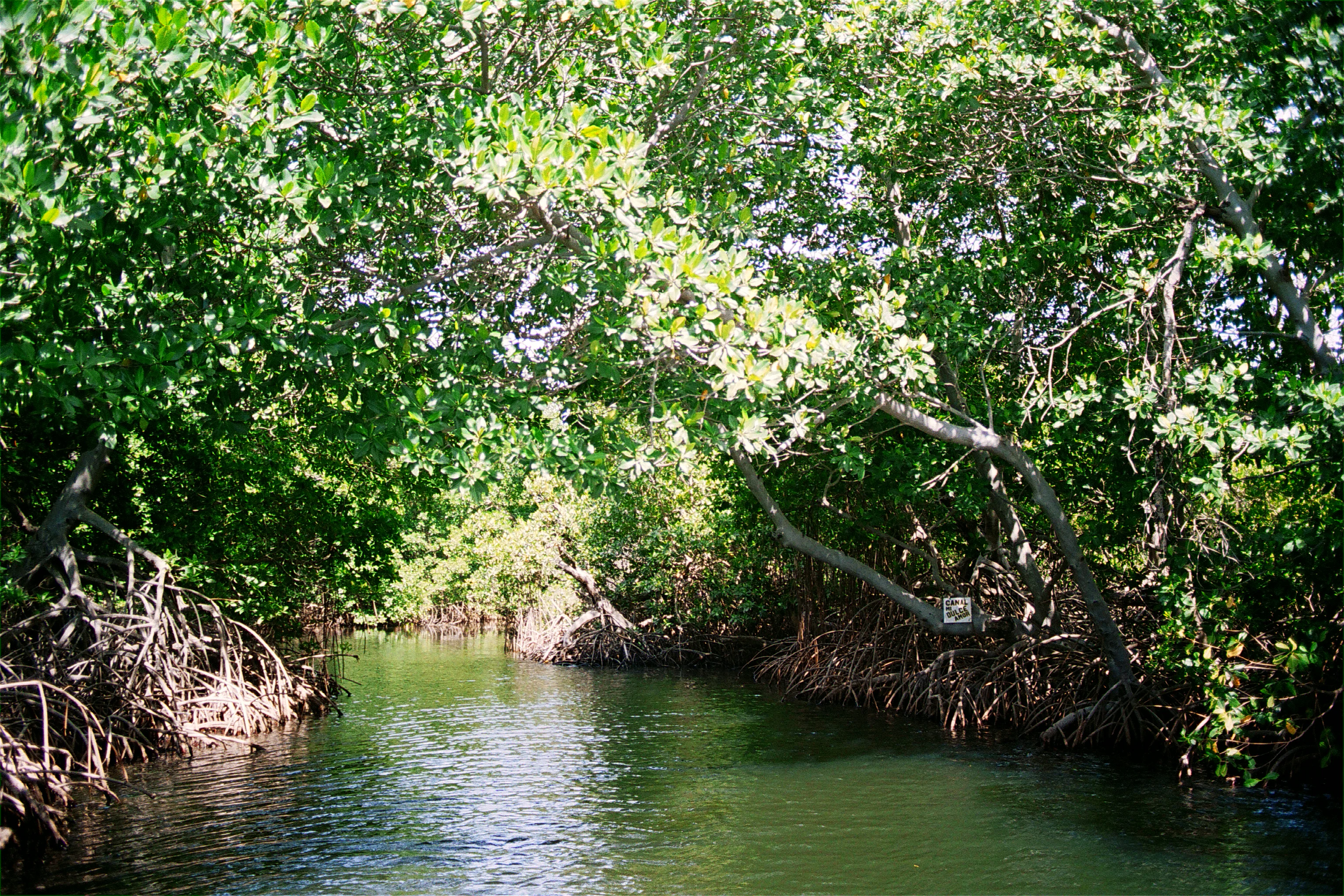
A narrow waterway flanked by dense mangrove trees with complex root systems reaching into the water.
A narrow water channel winding through the dense mangrove forests of Laguna de La Restinga.

Laguna de La Restinga National Park ecosystems, habitats, and plant life

Ecologically, the park is built around its mangrove lagoon, which functions as the core habitat for a wide range of marine and estuarine life. Red, black, white, and botoncillo mangroves line nearly the entire shoreline, their interlocking roots stabilizing sediments and creating sheltered nursery grounds. The mangroves also buffer the lagoon from wave action, keeping its waters calm and warm enough to support an exceptionally diverse community of fish and shellfish.

Surrounding the mangrove belt, the vegetation shifts into dry coastal scrub characteristic of the Caribbean arid zone. Species such as dividive, abrojo, afilito, rabo de zorro, brusca, cardón común, cardón yaunero, and hueso de pescado thrive in the sandy, salt-influenced soils, illustrating how the park captures two very different habitat types within a small area: a humid, estuarine mangrove ecosystem on one side and a dry thorn-and-cactus landscape on the other. Together, these habitats form a transitional mosaic that is relatively rare within Venezuela's protected areas.
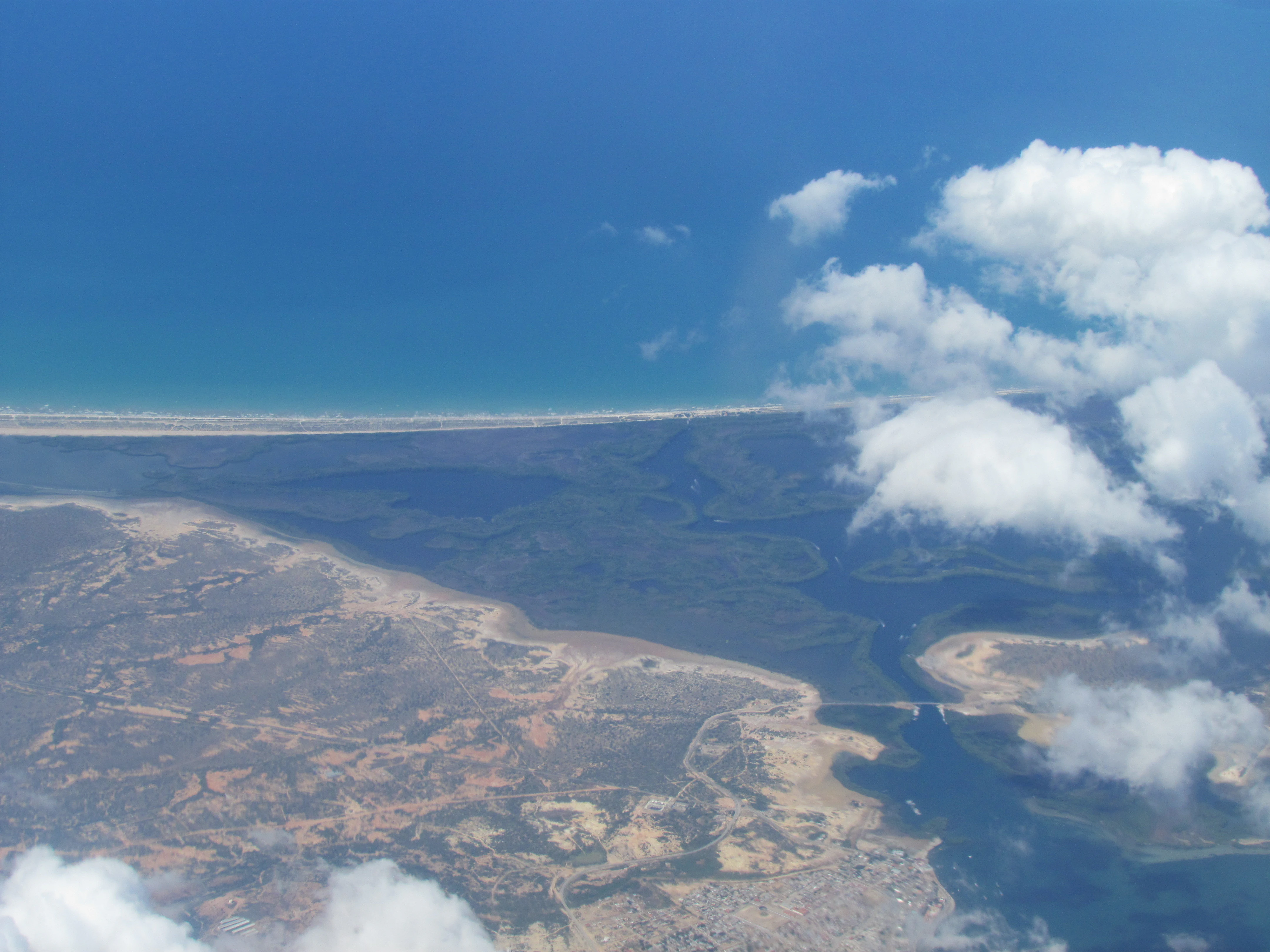
Aerial view of a coastal lagoon with a narrow sandy barrier beach separating it from the blue ocean, surrounded by dark mangrove vegetation.
An aerial view of the coastal lagoon ecosystem and mangrove channels at Laguna de La Restinga National Park.

Laguna de La Restinga National Park wildlife and species highlights

The wildlife of La Restinga mirrors the dual character of its habitats. The mangrove channels and open lagoon waters host a rich community of fish, including corocoro, pargo, sardina, mero, cazón, carite, lisa, lebranche, and róbalo, many of which use the roots as nursery habitat before moving into open water. The lagoon is also famous for its shellfish, with oysters, chipichipi, guacuco, mussels, and pepitona all harvested by local fishers, a reminder of how closely the park's biodiversity is tied to long-standing artisanal fishing traditions.

The sandy ocean beaches that close the lagoon are known nesting sites for marine turtles, which come ashore to lay their eggs in a setting that is otherwise rare among Venezuelan Caribbean coasts. Above the water, the lagoon and its mangrove islands support an unusually rich birdlife. Herons, including the blue, reddish, and real garzas, patrolling the shallows, while flamingos, the locally protected soisola de Margarita, the margariteña parakeet, the patico zambullidor, gulls, frigatebirds known locally as tijereta del mar, pelicans, and gannets, locally called alcatraz, all use the lagoon, mangroves, and airspace above them at different times of the year. The combination of resident, migratory, and seabird species gives the park an outsized ornithological importance for its size.
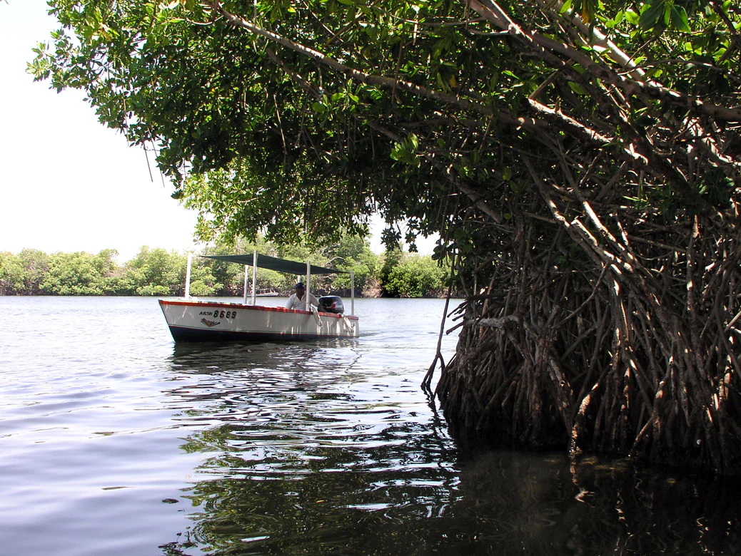
A small white tour boat with a canopy travels on calm water alongside dense, prop-rooted mangrove trees in a coastal lagoon.
A boat tour navigating through the mangrove canals of Laguna de La Restinga.

Laguna de La Restinga National Park conservation status and protection priorities

The park's conservation value rests primarily on the protection of one of the most extensive and best-preserved mangrove lagoon ecosystems in Venezuela's Caribbean region. Mangroves of this scale are increasingly rare across the region due to coastal development, shrimp aquaculture, and tourism pressure, and the park's protected status has helped preserve the structural integrity of the root systems, water quality, and nursery function of the lagoon.

Designated as a national park in 1974 and managed as an IUCN Category II area by INPARQUES, La Restinga also serves as the central protected area within Nueva Esparta's small but ecologically important network of eight reserves. By safeguarding marine turtle nesting beaches, migratory bird habitat, and a productive estuarine fishery all in a single site, the park provides a compact but high-value contribution to Venezuela's national biodiversity conservation strategy.

Laguna de La Restinga National Park cultural meaning and human context

The lagoon has long been woven into the identity of Isla de Margarita. Local communities have traditionally fished its waters and collected shellfish from its mangroves, an activity that continues today alongside regulated tourism. The traditional motorized boats used to navigate the channels, called tapaítos, are part of the park's everyday cultural fabric, and the isthmus itself is locally understood as a defining natural feature of the island, a place where the sea, the mangroves, and the dry island interior meet.
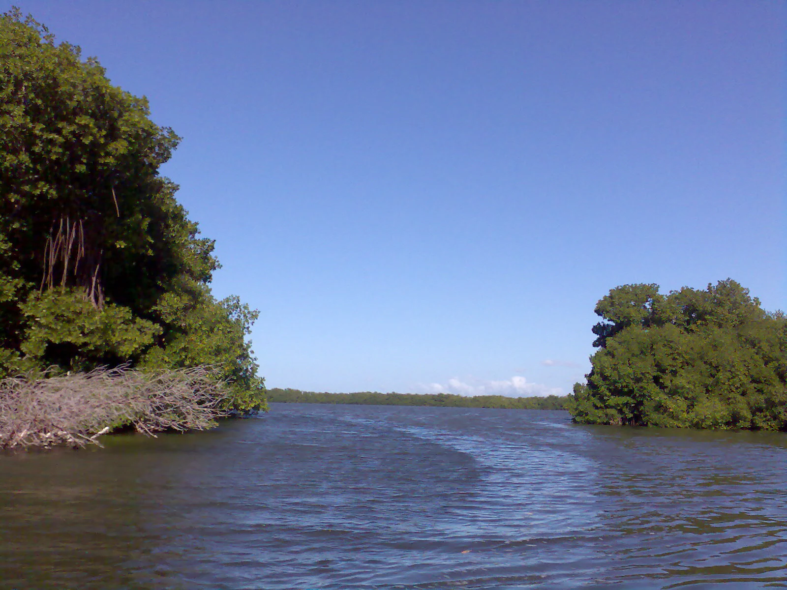
A view of a calm waterway lined with dense green mangrove forests under a clear blue sky
A view through the mangroves at Laguna de La Restinga

Top sights and standout views in Laguna de La Restinga National Park

The single most distinctive highlight of the park is the mangrove-channel experience itself: gliding by tapaíto through narrow water tunnels, opening onto mangrove-framed plazas, and emerging onto an ocean-facing beach on the other side. Beyond the scenic route, the park stands out for its combination of four red-listed habitats in one place: a productive coastal lagoon, a thriving mangrove forest, marine turtle nesting beaches, and a corridor of dry Caribbean coastal scrub connecting the eastern and western halves of Isla de Margarita.
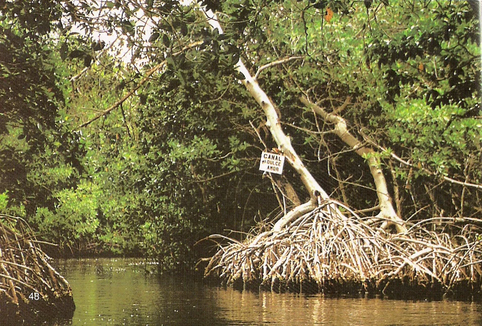
A narrow water channel surrounded by dense mangrove trees with complex prop roots. A small white rectangular sign attached to a tree branch reads Canal del Beso.
A sign marking the Canal del Beso within the mangrove channels of Laguna de La Restinga National Park.

Best time to visit Laguna de La Restinga National Park

The park is open year-round in concept, with the lagoon offering a calm, sheltered experience in every season. The dry season, generally aligned with the early months of the year, tends to bring clearer skies, less rainfall, and more predictable conditions for boat tours through the mangrove channels, while still offering strong bird activity. The warmer, more humid months later in the year can bring slightly more overcast skies and brief rains, though the mangroves and lagoon remain visually lush. Birding tends to be especially rewarding when migratory and seabird species concentrate around the lagoon, and turtle nesting activity on the ocean-facing beach adds seasonal wildlife interest during parts of the year.
Monthly climate preview

Long-term temperature ranges and monthly precipitation averages for Nueva Esparta

Parque nacional Laguna de La Restinga Climate Normals and Annual Weather Patterns

Historical data records the multi-year temperature and precipitation rhythm across twelve measured intervals at a representative coordinate within Parque nacional Laguna de La Restinga. Accessing the complete monthly climate profile reveals deeper baseline metrics for comparative analysis.
Annual mean27 °C
25 °C28 °C
Jan26°
Feb25°
Mar26°
Apr26°
May27°
Jun27°
Jul27°
Aug27°
Sep28°
Oct28°
Nov27°
Dec26°
Warmest month
September

27.9 °C

Coolest month
February

25.3 °C

Wettest month
August

4.3 mm/day

Driest month
March

0.6 mm/day

Park location guide

Geography guide, regional context, and park location map for Laguna de La Restinga National Park

Laguna de La Restinga National Park park geography, regions, and map view in Venezuela

Understand where Laguna de La Restinga National Park sits in Venezuela through a broader geographic reading of the surrounding landscape, nearby location context, and its mapped position within the national park landscape.

How Laguna de La Restinga National Park fits into Venezuela

Venezuela is a country in northern South America with coastline along the Caribbean Sea and Atlantic Ocean. It borders Colombia, Brazil, Guyana, and Trinidad and Tobago. The country has an area of approximately 916,445 km² and a population of about 31.8 million. Caracas is the capital and largest city. Venezuela consists of 23 states and the Capital District.

Wider geography shaping Laguna de La Restinga National Park in Venezuela

Venezuela is located on the northern coast of South America. The continental territory is bordered by the Caribbean Sea and Atlantic Ocean to the north, Colombia to the west, Brazil to the south, and Guyana to the east. Trinidad and Tobago lies to the northeast. The country includes various islands and islets in the Caribbean Sea known as the Federal Dependencies.

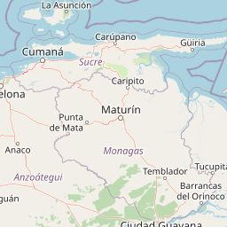
Map view of Laguna de La Restinga National Park

Use this park location map to pinpoint Laguna de La Restinga National Park in Venezuela, understand its exact geographic position, and read its mapped placement within the surrounding landscape more clearly.

Pigeon | © OpenStreetMap contributors

Location context for Laguna de La Restinga National Park

Nueva Esparta
Recorded earthquake history

Review Recorded Seismic Activity near Parque nacional Laguna de La Restinga

Access a detailed catalogue of historical earthquakes recorded near Parque nacional Laguna de La Restinga. This MoriAtlas data resource organizes events by location and magnitude to provide a clear geographic perspective on the seismic history of the region surrounding these mangrove flats.

Parque nacional Laguna de La Restinga Earthquake History

Catalogued events

11 events

Strongest magnitude

Magnitude 5.2

Most recent event

Oct 17, 2020

This history includes earthquakes recorded inside the park or within 50 km of its borders

Visual reference of mangrove channels, coastal lagoons, and arid island terrain

Parque nacional Laguna de La Restinga Photos and Landscape Scenery

Visual records reveal the intricate mangrove channels and sheltered coastal lagoons that define the protected park environment. Examining photographic terrain helps researchers understand the striking transition between marine waters and dry Caribbean scrublands.

A calm, wide, coastal lagoon lined with dense green mangrove forests on both sides, with hazy mountains visible in the distance under a blue sky with fluffy white clouds.

A long wooden pier stretching into the distance at Laguna de La Restinga National Park, with a row of small, brightly painted motorboats moored alongside it under the shade of dense mangrove trees.

A narrow waterway flanked by dense mangrove trees with complex root systems reaching into the water.

Aerial view of a coastal lagoon with a narrow sandy barrier beach separating it from the blue ocean, surrounded by dark mangrove vegetation.

A small white tour boat with a canopy travels on calm water alongside dense, prop-rooted mangrove trees in a coastal lagoon.

A calm, still lagoon reflecting a blue sky with white clouds, bordered by dense green trees and mangrove-like vegetation along the banks.

A view of a calm waterway lined with dense green mangrove forests under a clear blue sky

A narrow water channel surrounded by dense mangrove trees with complex prop roots. A small white rectangular sign attached to a tree branch reads Canal del Beso.

A view from water level of a dense mangrove forest with tangled roots and leafy branches hanging over a calm channel, featuring a small white sign attached to a tree trunk.

Park atlas

Compare adjacent island reserves and regional coastal landscapes

Explore Protected Areas and Parks Near Parque nacional Laguna de La Restinga

Browse other national parks and protected areas near Parque nacional Laguna de La Restinga to examine wider ecological patterns across the region. Regional park comparison reveals connected coastal wetlands, arid island scrublands, and marine reserves.
Watercolor painting of a lake surrounded by forest with mountains in the background
National parkVenezuela
Park boundaries overlap#1 closest

Northwest

Laguna de La Restinga National Park: Venezuela's National Park with Extensive Mangrove Ecosystem

Explore its mapped channels, vital bird habitats, and coastal geography.

Laguna de La Restinga National Park stands as a key protected area within Venezuela, renowned for its expansive shallow salt lagoon and dense mangrove forests. The park's geography is defined by 18 kilometers of natural channels that weave through mangrove islands, offering a unique visual and navigational landscape. As a designated Ramsar Wetland, it is a critical habitat for numerous waterfowl species, providing rich opportunities for landscape and birdwatching discovery. The surrounding terrain reflects the arid conditions typical of the Venezuelan Dry Forest province, contrasting with the vibrant aquatic ecosystem.

Area
188 km²
Established
1974
IUCN
II
Relief
Lowland
A soft watercolor illustration depicting a landscape of gently rolling hills, trees, and a winding path against a white background.
Natural monumentNueva Esparta
0.1 km away#2 closest

Southeast

Monumento natural Tetas de María Guevara: Protected Land and Coastal Geography

Analyzing the arid hills and mangrove lagoons of Isla de Margarita

Spanning 1,670 hectares in the Municipio Tubores, Monumento natural Tetas de María Guevara features a distinctive silhouette formed by twin hills. This protected landscape provides critical geographic contrast, pairing dry scrubland terrain with vital coastal wetland systems. The area serves as a significant natural reference point and ecological component within the broader Nueva Esparta island region.

Area
16.7 km²
Established
1974
Relief
Upland
Climate
Arid
National parkNueva Esparta
6.6 km away#3 closest

East

Cerro El Copey National Park: Mapped Protected Area in Nueva Esparta

Explore the geographic context and landscape of this national park.

Cerro El Copey National Park offers a distinct protected landscape within Nueva Esparta, Venezuela. This page details the park's geographic identity, its mapped boundaries, and its significance as a national park. Investigate the terrain and regional context to understand the protected area's ecological and geographical footprint, providing essential data for atlas-driven exploration.

Area
71 km²
Established
1974
IUCN
II
Relief
Mountain
National parkSucre
57 km away#4 closest

Southwest

Mochima National Park: Venezuela National Park Protected Landscape Atlas

Explore Sucre's mapped conservation boundaries.

Mochima National Park stands as a distinct national park within the Sucre region, offering a focal point for understanding protected landscapes and their geographic context. This entry provides specific details relevant to atlas exploration, allowing for a clear view of the park's mapped boundaries and its contribution to the national park system. Engage with the mapped terrain and regional geography that define this conservation area.

Area
949.35 km²
Established
1973
IUCN
II
Visitors
500K annual
National parkMonagas
86 km away#5 closest

Southeast

Cueva del Guácharo National Park: Venezuela's Protected Natural Landscape

Mapping protected areas and natural terrain in Monagas.

Cueva del Guácharo National Park represents a distinct protected landscape within Venezuela's Monagas region. This entry provides essential context for understanding the park's geographic scope, mapped boundaries, and role as a national park. It is designed to facilitate detailed atlas exploration of protected natural areas and their regional landscape context, offering a foundation for understanding Venezuela's conservation geography.

Area
627 km²
Established
1975
IUCN
II
Relief
Mountain
National parkSucre State
116 km away#6 closest

East

Turuépano National Park: National Park Protected Landscape and Geographic Context

Explore the mapped boundaries and natural terrain of Sucre State's national park.

Investigate Turuépano National Park, a protected national park situated within Sucre State, Venezuela. This entry provides detailed geographic context and information on its mapped protected-area boundaries, essential for understanding its role in the region's natural landscape atlas. Explore the specific terrain and protected land features that define this significant Venezuelan park.

Area
726 km²
Established
1991
IUCN
II
Relief
Lowland
National parkSucre
150 km away#7 closest

East

Península de Paria National Park: Venezuela's Protected Landscape Geography and Atlas Context

Explore mapped park boundaries and regional geographic setting.

Discover Península de Paria National Park, a vital protected area within the Sucre region of Venezuela. This page offers a detailed look at the park's geographic identity, focusing on its mapped boundaries and its significance as a national park for atlas-based exploration. Understand its landscape context and its contribution to Venezuela's network of protected lands, providing a clear geographic overview for researchers and explorers.

Area
375 km²
Established
1978
IUCN
II
Relief
Mountain
Watercolor painting of a lagoon surrounded by green vegetation and mountains in the background
National parkMiranda State
173 km away#8 closest

Southwest

Laguna de Tacarigua National Park: Protected Area and Miranda State Geography

Mapped natural landscape and park boundaries in Venezuela.

Laguna de Tacarigua National Park is a designated national park offering critical protected landscape features within Miranda State. This park provides essential context for understanding Venezuela's protected areas, with a focus on its mapped boundaries and regional geographic setting. Dive into the atlas-style details to comprehend its place in the natural landscape.

Area
391 km²
Established
1974
IUCN
II
Relief
Lowland

Common questions about visiting, size, designation, and location context for Laguna de La Restinga National Park

Laguna de La Restinga National Park FAQs for park facts, access, geography, and protected area context

Find quick answers about Laguna de La Restinga National Park, including protected-area facts, park geography, trail and visitor context, and how the park fits into its surrounding country and regional landscape.
MoriAtlas Explorer

Continue Your Protected Areas Search Across the Global Atlas

Deepen your exploration by continuing the structured search for national parks and protected areas worldwide. Utilize the comprehensive filtering capabilities to compare different conservation landscapes and refine your understanding of global park geography. Discover more about the distribution and characteristics of protected natural areas.

Global natural geography