
Mori Atlas logo
Park earthquake history

Review documented seismic events and geological location data for the pond landscape.

Historical Earthquake Records and Seismic Activity Catalogue for Plothener Teiche

This collection provides a structured view of historical earthquakes associated with the geographic vicinity of Plothener Teiche. Each entry identifies the event, its recorded magnitude, focal depth, and calculated distance from the nature reserve. The repository serves as a neutral catalogue of data derived from geological monitoring, offering context on seismic patterns recorded within this region of Thuringia.

A flat-style digital illustration showing a calm pond with a small stilted cabin on the far shore, framed by foreground trees and dandelions in a meadow.

A historic Thuringian pond landscape preserving centuries of fishpond heritage and wetland biodiversity.

Plothener Teiche

Plothener Teiche is a network of historic fishponds in the Saale-Orla-Kreis district of Thuringia, Germany, stretching across the communities of Plothen, Knau, and Dreba. Formally protected as the Naturschutzgebiet Dreba-Plothener Teichgebiet, it forms part of the larger Thüringer Schiefergebirge/Obere Saale Nature Park and represents one of the most distinctive pond landscapes in central Germany. The ponds originated in the Middle Ages, when monastic communities built them to supply fish for the many fasting days of the calendar, and over time smaller basins were merged into larger ones. Today the Hausteich is the largest pond at roughly 28 hectares, while the wider region is known as the "Land of a Thousand Ponds." After suffering heavy pollution during the GDR era, the area has been restored into a functioning wetland ecosystem that supports rich plant and animal life. Modern Plothener Teiche is recognized both as a regional recreational destination and as a significant habitat for resident waterbirds and migratory species. Visitors come for angling, cycling, and birdwatching, while a centuries-old pile-dwelling (Pfahlhaus) on the Hausteich serves as a small landmark museum on the water.

Location
Germany
Park type
Nature reserve
Established
1967
Plothener Teiche Nature Reserve Atlas

Review Plothener Teiche records by date and distance

Browse historical earthquake data in the area near Plothener Teiche

Plothener Teiche is a German lowland complex of lakes, wetlands, rivers, and partial forest with dominant water presence. Search its associated earthquakes by event time, magnitude, depth, source place, and park distance, keeping spatial proximity separate from claims about pond impacts, current hazard, or recurrence.

Sort by
Magnitude
Location

This page describes catalogued earthquakes associated with the park by epicentre location and distance. It does not establish causation, assess current danger, or predict future earthquakes.

No earthquake records match the current filters

Park atlas

Continue past Plothener Teiche earthquake data to more parks

Discover more protected parks after Plothener Teiche records

Plothener Teiche is a German lowland complex of lakes, wetlands, rivers, and forest with dominant water presence. Its onward park links broaden earthquake exploration without asserting shared hydrology, comparable consequences, current danger, or future events.
A horizontal watercolor illustration showing soft green hills, forest patches, and distant pale pink mountains.
Nature reserveThuringia
About 8.3 km away#1 closest

South

Kobersfelsen Nature Reserve: Silicate Cliff Geography and Protected Valley Landscapes

Geographic context for the Thuringian Slate Mountains protected area.

Kobersfelsen features a significant silicate rock outcrop rising above the Saale valley. As part of a larger Habitats Directive site, this nature reserve integrates cliffside forest with rare botanical communities. Users can examine the specific site boundaries and understand its role within the wider ecological network of the Thuringian region.

Area
0.06 km²
Established
1989
IUCN
IV
Relief
Upland
A soft watercolor painting of a rolling landscape with green hills, scattered trees, and pale, earthy foreground textures.
Nature reserveThuringia
About 12 km away#2 closest

West

Buchenberg bei Krölpa Nature Reserve: Mapped Geography and Protected Landscape Context

A restored limestone quarry habitat located in Thuringia, Germany.

Buchenberg bei Krölpa stands as a regionally significant nature reserve located east of Krölpa. Formerly a site of limestone extraction, the protected area now functions as a managed habitat, characterized by its broken, stepped terrain and slopes that host native orchid species and dry grassland vegetation within the broader Thuringian countryside.

Area
0.201 km²
Established
1996
IUCN
IV
Relief
Upland
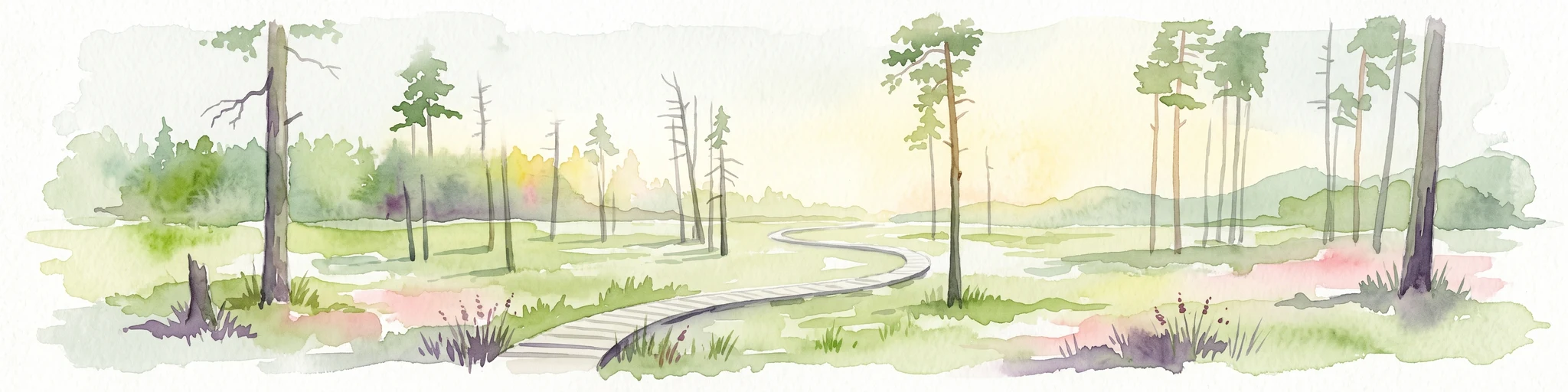
A horizontal watercolor painting of a wooden boardwalk path cutting through a forest clearing with scattered pine trees, rendered in soft light tones.
Nature reserveThuringia
13 km away#3 closest

East

Pöllwitzer Wald Nature Reserve: Geographic Overview and Protected Area Mapping

Historic forest landscapes in the Thuringia region

Pöllwitzer Wald represents a dense, historically significant nature reserve located near the Thuringia and Saxony border. This detailed overview covers the essential geographic features, including the unique moorland basin, coniferous forest transitions, and the remnants of early modern log floating infrastructure that shaped the regional topography.

Area
9.62 km²
Relief
Upland
Climate
Temperate
Access
Easy access
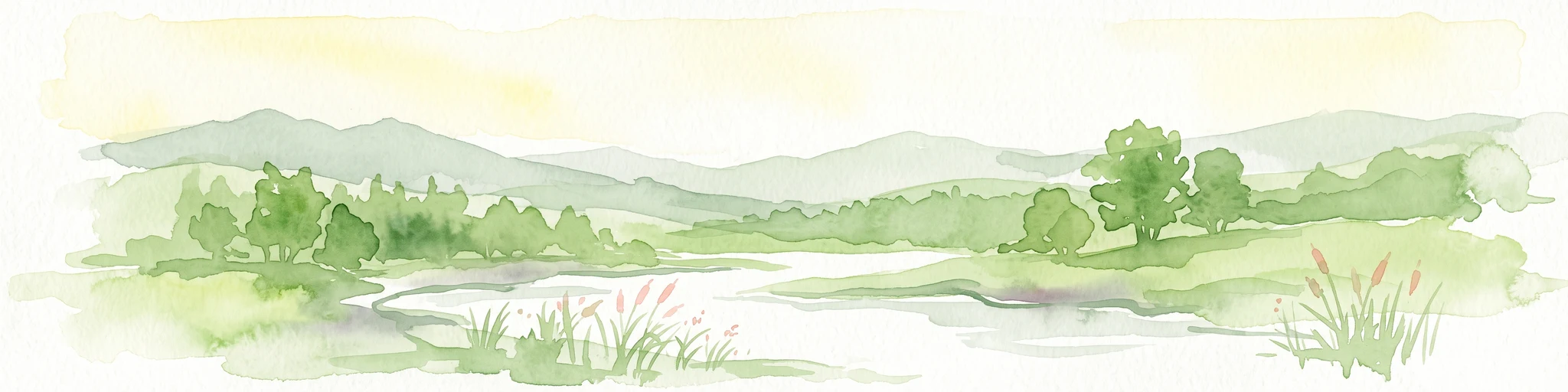
A soft watercolor painting showing a pond landscape with rolling hills in the background, green trees in the midground, and tall grasses along the water edge.
Nature reserveSachsen
19 km away#4 closest

Southeast

Großer Weidenteich Nature Reserve: Mapping the Biodiversity of the Saxon Vogtland

A vital protected landscape shaped by traditional grazing management

Großer Weidenteich acts as a crucial refuge for diverse species, including nearly 700 butterfly varieties and numerous breeding bird populations. The reserve's landscape is characterized by a mix of wetlands, meadows, and shrubby margins that rely on continuous sheep grazing for structural maintenance. This area provides a clear perspective on how small-scale water bodies and varied vegetation patches contribute to the health of the broader Saxon regional ecosystem.

Area
3.349 km²
Established
1994
IUCN
IV
Protected landscapeBavaria
20 km away#5 closest

South

Naturpark Frankenwald: Geographic Profile of Bavaria's Forested Protected Landscape

A vast, interconnected upland spanning the Bavaria and Thuringia border

Naturpark Frankenwald functions as a large-scale managed nature preserve that integrates cultural heritage with ecological conservation. The terrain consists of gentle mountainous ridges, narrow river valleys, and extensive mixed forests that form a continuous landscape belt across northern Bavaria. This profile provides an overview of the regional geography, boundary extent, and the natural features that define this significant central German upland area.

Area
1,023 km²
Established
1973
Relief
Upland
Climate
Temperate
A horizontal watercolor illustration showing green rolling hills, distant light green ridges, and sparse trees against a white background.
Nature reserveThuringia
About 24 km away#6 closest

Northwest

Spitzenberg-Schießplatz Rothenstein-Borntal Nature Reserve and Saale Valley Geography

Protected forest and grassland terrain in Thuringia

Spitzenberg-Schießplatz Rothenstein-Borntal is a protected nature reserve in Thuringia, covering hundreds of hectares of forest slopes, plateaus, and open clearings. This reserve is recognized for its unusual structural diversity, ranging from closed valley woodland to sun-exposed semi-dry grassland, providing essential habitat within the middle Saale valley region.

Area
5.542 km²
Established
1961
IUCN
IV
Nature reserveThuringia
About 27 km away#7 closest

Northwest

Leutratal und Cospoth Nature Reserve: Mapping Calcareous Grasslands in Thuringia

A study of limestone slopes and orchid-rich habitats in central Germany

Leutratal und Cospoth serves as a prime example of protected Muschelkalk landscape in Thuringia. This reserve captures the complex transition between open grasslands, scrub, and beech forests within the middle Saale valley, offering deep insights into the region's unique geological and botanical heritage.

Area
5.829 km²
Established
1961
IUCN
IV
Relief
Upland
Protected areaThuringia
About 28 km away#8 closest

East

Wälder um Greiz und Werdau: Protected Landscape and Regional Woodland Atlas for Thuringia

Continuous forest terrain on the Thuringia and Saxony border

The protected landscape of Wälder um Greiz und Werdau covers rolling hills and valleys between the Pleiße and Weiße Elster rivers. Use this atlas resource to understand the park's mapped boundaries, forest pond distribution, and its role as a green corridor between regional townscapes.

Area
62 km²
Established
1961
Relief
Upland
Climate
Temperate
MoriAtlas Explorer

Explore the Geographic Boundaries of the Plothener Teiche Nature Reserve

Investigate the complex pond systems and natural terrain of Plothener Teiche. Through MoriAtlas, trace the protected area boundaries and understand how these historic wetlands function within the broader geography of eastern Thuringia.