Mori Atlas logo
Nearby park discovery

Geographic atlas and regional context for surrounding protected land boundaries

Protected Areas and Wilderness Landscapes Near Pole Creek Wilderness in Idaho

Identify protected areas and wilderness landscapes located in the immediate geographic vicinity of Pole Creek Wilderness. This resource maps the regional distribution of surrounding terrain to help visualize connections between canyonland ecosystems and high desert plateaus within Idaho.

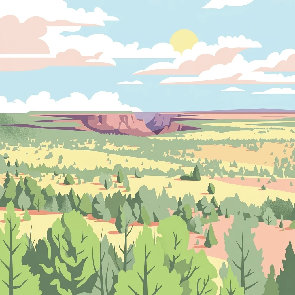
A stylized illustration of a canyon landscape with sagebrush, sparse pine trees, and flat desert plateaus under a bright sky with soft clouds.

A remote rhyolite plateau wilderness of deep canyons and whitewater in southwestern Idaho

Pole Creek Wilderness

The Pole Creek Wilderness is a federally protected wilderness area in Owyhee County, in the remote southwestern corner of Idaho. It sits on high plateaus built from rhyolite and basalt, where rivers have carved deep, sheer-walled canyons through the volcanic rock, giving the region one of the largest concentrations of dramatic volcanic canyon scenery in the western United States. Although it covers only a modest footprint within the broader Owyhee high desert, the wilderness is closely associated with the rugged canyonland landscape of the Owyhee Desert and the northern Basin and Range ecoregion. Its whitewater rapids attract paddlers, and its undeveloped, trail-free terrain anchors one of the most remote sections of the Idaho side of the Owyhee Canyonlands. The Pole Creek Wilderness is part of a wave of southwest Idaho wilderness designations that were grouped together with five neighboring BLM wilderness areas as the Owyhee Canyonlands Wilderness Areas. Its defining identity is therefore as much about geology and solitude as it is about recreation, with strong conservation value tied to rare plants, sagebrush wildlife communities, and the undisturbed condition of its canyon systems.

Location
United States of America
Park type
Wildlife reserve
Established
2009
Area
50.7 km²
Pole Creek Wilderness Protected Area Map
Regional park map

See the ranked park cluster in its geographic setting

Nearby parks around Pole Creek Wilderness

This regional map shows the same 20 nearby parks ranked below around Pole Creek Wilderness. Select a ranked marker to highlight that park’s boundary where boundary data is available.
Reference park: Pole Creek WildernessRanked nearby park20 nearby parks shown
20 nearby parks

Geographic proximity and environmental comparisons across surrounding regional landscapes

Ranked Parks and Protected Areas Geographically Near Pole Creek Wilderness

Examine the ranked collection of protected areas situated close to Pole Creek Wilderness based on measured geographic separation and regional direction. Reviewing these surrounding locations provides structured context for comparing distinct wilderness designations and regional park geography.
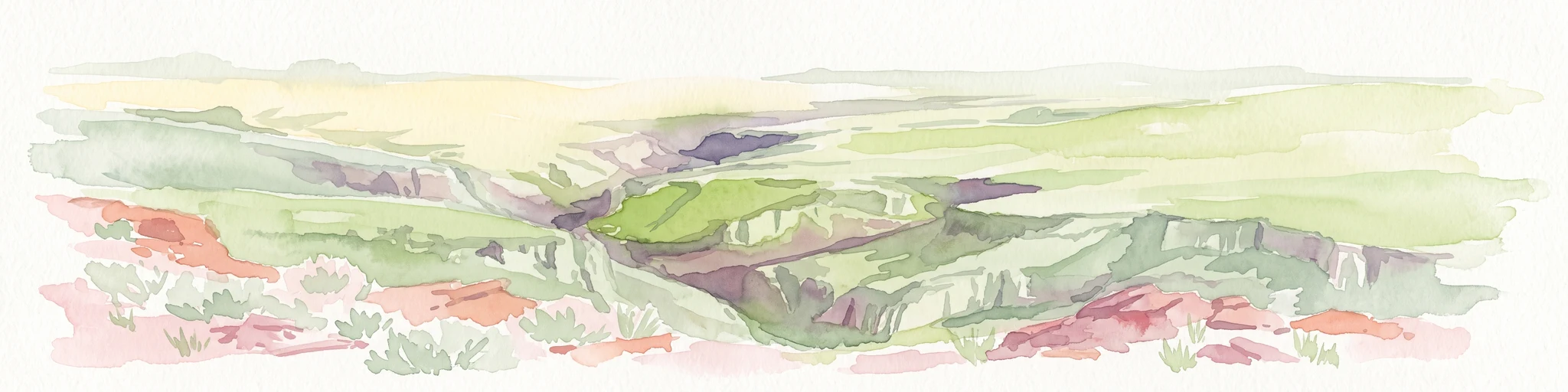
A watercolor painting showing a wide view of a desert canyon landscape with layered plateaus and earthy tones.
Wildlife reserveIdaho
About 29 km away#1 closest

Northeast

Little Jacks Creek Wilderness: Mapping Idaho Canyon Country and Protected Landscapes

Basalt plateau and stream-cut gorge geography

Little Jacks Creek Wilderness protects a significant high-desert landscape in Idaho characterized by deep canyons and sagebrush-covered plateaus. As part of the Owyhee Canyonlands, this wildlife reserve highlights the geologic interplay of dark basalt and red rhyolite cliffs, providing a stable, undisturbed terrain for geographic and ecological study.

Area
206.1 km²
Established
2009
IUCN
Ib
Relief
Upland
A watercolor painting showing soft green hills, distant pink-hued mountains, and a pale blue lake in a serene, stylized landscape.
Protected landscapeNevada
About 73 km away#2 closest

South

Humboldt, Toiyabe National Forest: Protected Landscape and Regional Mountain Geography

A vast network of Nevada mountain ranges and alpine wilderness

Humboldt, Toiyabe National Forest serves as a defining public land entity across Nevada and eastern California. As the largest national forest in the contiguous United States, it preserves a striking collection of isolated mountain ranges, including the Ruby Mountains and the rugged Jarbidge wilderness, within a broader basin-and-range landscape. Examine the boundaries and terrain that characterize this complex, high-desert ecosystem.

Area
25,454 km²
Established
1908
Relief
Mountain
Access
Easy access
Wildlife reserveNevada
About 116 km away#3 closest

Southeast

Jarbidge Wilderness: Protected Mountain Terrain and Geographic Map Context in Nevada

High-altitude wilderness geography and canyon landscapes

Located in the remote Jarbidge Mountains, this wilderness area transitions from arid sagebrush steppe to dense subalpine forests and dramatic river canyons. The region preserves headwater streams and over a dozen significant summits, offering a complex look at the natural topography of the northern Great Basin in Nevada.

Area
457.97 km²
Established
1964
IUCN
Ib
Relief
Mountain
Watercolor painting of a calm lake surrounded by forested shores and distant mountains, depicted in soft pastel tones.
Protected landscapeIdaho
About 145 km away#4 closest

Northeast

Sawtooth National Forest: Geographic Overview and Protected Mountain Boundaries

Central Idaho mountain systems and wilderness corridors

Spanning over two million acres, Sawtooth National Forest defines the heart of the Rocky Mountains in Idaho. This protected landscape contains a complex network of glacial basins, alpine lakes, and varied ecosystems ranging from arid sagebrush foothills to high-altitude peaks. Explore the internal boundaries, drainage systems, and structural geography of this significant wilderness area.

Area
8,540.52 km²
Established
1905
Visitors
1.2M annual
Relief
Mountain
Watercolor painting of a tranquil lake surrounded by green forests and soft mountain ridgelines against a white background.
Protected landscapeIdaho
About 181 km away#5 closest

Northeast

Sawtooth National Recreation Area: Mapping the Protected Landscape of Central Idaho

A vast mountain wilderness of granite peaks and glacier-carved lakes.

The Sawtooth National Recreation Area encompasses a quintessential northern Rocky Mountain terrain defined by the dramatic Sawtooth, White Cloud, and Boulder ranges. This protected landscape preserves over 700,000 acres of high-elevation wilderness, ranging from jagged granite arêtes to the broad, U-shaped Sawtooth Valley, serving as a critical hydrologic anchor for the rivers of the American West.

Area
2,957.7 km²
Established
1972
Relief
Mountain
Climate
Alpine
Protected landscapeIdaho
About 211 km away#6 closest

North

Payette National Forest: Geographic Overview of Idaho's Rugged Mountain Wilderness

Protected granite landscapes and glacial basin geography

Encompassing a vast portion of central Idaho, Payette National Forest represents a significant protected wilderness corridor. The forest geography transitions from granite-based alpine peaks and deep river gorges to dense coniferous slopes, providing essential habitat and extensive trail connectivity throughout the Northern Rockies.

Area
9,419.55 km²
Established
1944
Relief
Mountain
Access
Access unknown
A horizontal watercolor painting showing a panoramic view of layered green and purple mountains under a pale sky, with coniferous trees in the foreground.
Protected landscapeOregon
About 221 km away#7 closest

Northwest

Malheur National Forest: Exploring Oregon's Vast Protected Mountain and Desert Landscape

A geographic study of the Blue Mountains and high desert terrain

Spanning over 1.4 million acres, Malheur National Forest represents a complex protected landscape in eastern Oregon. Its geography is defined by a central spine of the Strawberry Mountains, creating a transition zone between arid high desert ecosystems and dense coniferous forests. Known for large wilderness areas and extensive old growth stands, this forest serves as a vital point for understanding the interplay between topographic elevation and regional climate in the Pacific Northwest.

Area
5,929.81 km²
Established
1908
Visitors
242K annual
Relief
Mountain
Soft watercolor illustration of a rolling mountain landscape with a forested foreground and faded, distant peaks.
Protected landscapeIdaho
About 222 km away#8 closest

Northeast

Salmon, Challis National Forest: Geography and Protected Land Map in Central Idaho

Extensive alpine ridges and wild river corridors

Spanning over 4.2 million acres, Salmon, Challis National Forest is a foundational protected landscape in Idaho. This area includes the highest peaks in the state, such as Borah Peak, and holds the majority of the Frank Church, River of No Return Wilderness. Utilize this atlas resource to examine the intricate mountain topography, expansive river systems, and the contiguous wild corridors that define this significant portion of the northern Rockies.

Area
17,142.2 km²
Established
1908
Relief
Mountain
Climate
Temperate
A horizontal watercolor illustration depicting a winding river flowing through a forested valley surrounded by soft, hazy mountain silhouettes.
Wildlife reserveIdaho
About 226 km away#9 closest

Northeast

Frank Church, River of No Return Wilderness: Idaho Protected Mountain and River Landscapes

Discover massive roadless geography and river-carved mountain terrain.

Spanning over 2.3 million acres in central Idaho, the Frank Church, River of No Return Wilderness represents one of the most significant intact roadless landscapes in the lower 48 states. This protected area features a complex mosaic of coniferous forests, high-altitude alpine ridges, and the steep, jagged canyons of the Salmon River, creating a unique geographic profile for regional exploration.

Area
9,578.21 km²
Established
1980
IUCN
Ib
Relief
Mountain
A soft watercolor painting of a mountain landscape with gentle green rolling hills, light green distant peaks, and scattered pink floral accents in the foreground against a white background.
Wildlife reserveIdaho
About 233 km away#10 closest

Northeast

Jim McClure, Jerry Peak Wilderness: Geography and Protected Landscape Map in Idaho

Mapping central Idaho's remote mountain backcountry

Investigate the high-elevation wilderness geography of Jim McClure, Jerry Peak. This protected area in Custer County sits within the Salmon-Challis landscape, featuring a rugged mix of mountain peaks, dense coniferous forests, and remote drainages that define the character of the American West.

Area
473.07 km²
Established
2015
IUCN
Ib
Relief
Mountain
Protected landscapeOregon
About 233 km away#11 closest

North

Wallowa-Whitman National Forest: A Geographic Overview of Northeastern Oregon Landscapes

Alpine wilderness, mountain ranges, and deep river gorges.

Wallowa-Whitman National Forest protects a vast, varied landscape of granite peaks, alpine meadows, and forested river canyons. This detailed overview covers the geographic significance of the Wallowa and Elkhorn mountains, the Hells Canyon corridor, and the surrounding wilderness regions within Oregon.

Area
9,682 km²
Established
1905
Visitors
505K annual
Relief
Mountain
Wildlife reserveNevada
About 257 km away#12 closest

Southwest

East Fork High Rock Canyon Wilderness: Protected Basin and Canyon Geography

Remote Nevada high desert and basalt canyon landscapes

Managed as a federal wilderness area, this reserve protects the rugged northeast rim of High Rock Canyon in northern Nevada. The landscape is defined by steep volcanic edges, dry drainage systems, and vast, open horizons characteristic of the Great Basin high desert. This area serves as a quiet contrast to the surrounding multi-use terrain, offering an unbroken view of one of the most desolate and striking geographic corridors in the American West.

Established
2000
IUCN
Ib
Relief
Highland
Climate
Arid
A watercolor painting of a wide, rolling landscape with green hills, a winding path or river, and soft mountains in the background against a white background.
Protected landscapeUnited States of America
About 267 km away#13 closest

North

Hells Canyon National Recreation Area: Geologic Boundaries and Snake River Corridor Atlas

Deep canyon terrain and archaeological heritage in the American Northwest

This protected landscape encompasses the profound depth of the Snake River gorge, featuring rugged basalt cliffs and diverse forested uplands. The area serves as a significant intersection of natural history and ancient cultural presence, providing a detailed look at the topographic complexity defining the Oregon and Idaho boundary region.

Area
2,641 km²
Established
1975
Relief
Mountain
Climate
Temperate
Protected areaNevada
About 271 km away#14 closest

Southwest

Little High Rock Canyon Wilderness: Mapping the High Desert Protected Landscapes of Nevada

A rugged canyon environment within the expansive Great Basin desert

Explore the distinct geography of Little High Rock Canyon Wilderness, where sharp basalt walls and sheltered canyons break the wide sagebrush expanse of northern Nevada. This protected area serves as a vital component of the High Rock country, offering a compact yet significant look at the high desert terrain and historic landscape features defining this remote portion of the Great Basin.

Established
2000
Relief
Upland
Climate
Arid
Access
Remote access
A horizontal watercolor painting depicting a soft-focus mountain range in shades of purple and pink behind a green forest and a calm blue lake.
Wildlife reserveOregon
About 281 km away#15 closest

North

Eagle Cap Wilderness: Map and Protected Area Overview in Northeastern Oregon

High elevation terrain, glacial valleys, and mountain ecosystems

Spanning over 350,000 acres, Eagle Cap Wilderness defines the high-altitude geography of the Wallowa Mountains. This protected area is characterized by sharp granite ridges, more than 60 named alpine lakes, and deeply carved U shaped glacial valleys. It acts as a primary water source for the region, hosting the headwaters of several major rivers while supporting diverse wildlife populations in a preserved backcountry environment.

Area
1,462.72 km²
Established
1940
IUCN
Ib
Relief
Mountain
Protected areaIdaho
About 300 km away#16 closest

East

Curlew National Grassland: Protected Area Geography and Sagebrush Steppe Landscape in Idaho

Mapped regional geography and rangeland conservation context

Located in southeastern Idaho, Curlew National Grassland offers an expansive view of the Intermountain sagebrush steppe. This protected area provides a historical example of Depression-era land restoration and currently functions as a vital habitat for sagebrush-associated wildlife, showcasing the unique, rolling plains and semi-arid terrain characteristic of the northern Great Basin.

Area
193.4 km²
Established
1934
Relief
Upland
Scope
Terrestrial
Protected landscapeCalifornia
About 302 km away#17 closest

West

Modoc National Forest: Protected Landscape and Warner Mountains Geography

High desert volcanic terrain in northeastern California

Modoc National Forest encompasses a massive expanse of volcanic plateaus and rugged mountain ridges in the northeastern corner of California. This protected area offers significant geographic variety, transitioning from arid sagebrush basins to lush, high-elevation conifer forests. It serves as a vital natural landscape, home to the South Warner Wilderness and large stands of old-growth timber, reflecting the unique geologic history of the regional lava flows.

Area
6,695.09 km²
Established
1904
Relief
Mountain
Access
Moderate access
Protected areaOregon
About 304 km away#18 closest

Northwest

Ochoco National Forest: Mapping the Rugged Canyons and High Desert of Central Oregon

A vast protected area defined by rimrock plateaus and pine-forest watersheds.

Located in the heart of the Ochoco Mountains, this protected landscape offers a study in ecological contrast. From its dense ponderosa pine groves to the exposed volcanic ridges of the high desert, the forest acts as a critical habitat corridor for mule deer and elk, while protecting the headwaters of the North Fork Crooked River within a diverse, multi-terrain framework.

Area
3,444.01 km²
Established
1911
Visitors
575K annual
Relief
Mountain
Wildlife reserveOregon
About 351 km away#19 closest

West

Gearhart Mountain Wilderness: Protected Mountain Geography and Forest Atlas

High elevation terrain in the Fremont Winema National Forest

Spanning the border between Lake and Klamath counties, Gearhart Mountain Wilderness stands as a testament to the diverse mountain geography of south-central Oregon. The area features a complex mosaic of white fir, ponderosa pine, and pure lodgepole stands, set within a glacially sculpted landscape of cirques and ridges. This protected refuge serves as a key headwater source and mountain sanctuary, offering expansive vistas that span from the southern Cascades to the far horizon of the Oregon desert landscape.

Area
92.36 km²
Established
1943
IUCN
Ib
Relief
Mountain
Protected landscapeOregon
About 370 km away#20 closest

North

Umatilla National Forest: A Comprehensive Atlas of Blue Mountains Protected Landscapes

Explore mountain terrain, wilderness areas, and river-carved geography

Spanning over one million acres, Umatilla National Forest encompasses a complex array of river-cut canyons, high-country ridges, and substantial old-growth woodlands. This protected landscape offers a deep look into the ecological and physical character of the Blue Mountains, from the remote reaches of the Wenaha-Tucannon Wilderness to the headwaters of the Umatilla River.

Area
5,694 km²
Established
1908
Visitors
703K annual
Relief
Mountain
Distance methodology

Geographic measurements, not driving distances

How nearby park distances are calculated

Distances use park boundaries whenever the available geometry allows it. When one or both boundaries are missing, the mapped park locations provide a clearly labelled estimate. Every value represents straight-line geographic separation and does not use roads or routing.

Boundary distance

Calculated between the nearest points of both park boundaries.

Location-to-boundary estimate

Estimated from one mapped park location to the nearest boundary of the other park.

Mapped-location estimate

Estimated between the mapped locations of both parks.

MoriAtlas Explorer

Continue Exploring the Protected Landscapes of Pole Creek Wilderness

Analyze the geological formation and mapped boundaries of the Pole Creek Wilderness. MoriAtlas provides a clear view into the canyon systems, sagebrush ecosystems, and remote terrain that define this protected Idaho wildlife reserve and its role in the broader Basin and Range geography.