
Mori Atlas logo
Protected areaPollen Island

A vital protected landscape featuring unique shellbank terrain and intertidal habitats within the Waitematā Harbour.

Motumānawa / Pollen Island: Exploring the Geography of Auckland's Coastal Marine Reserve

(Motumānawa / Pollen Island)

Motumānawa / Pollen Island represents a compact yet ecologically significant refuge situated within the busy urban environment of Auckland's Waitematā Harbour. This protected area functions as both a marine and scientific reserve, safeguarding sensitive shellbank ecosystems and critical breeding grounds for native coastal birds. Its geography offers a distinct study in contrast, where tidal island terrain meets the surrounding metropolitan infrastructure of the Rosebank Peninsula.

harbour islandtidal islandshellbank habitatestuarine ecosystemintertidal reservenative bird breeding
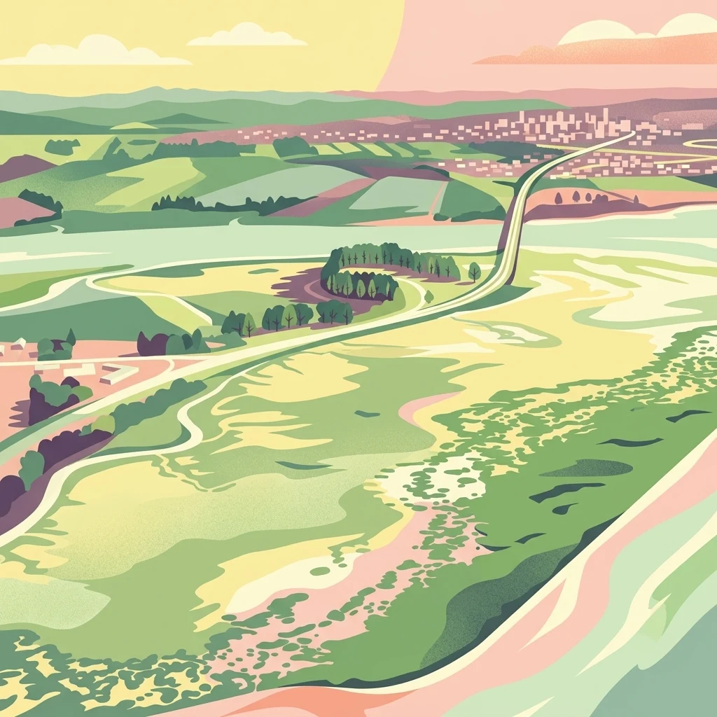
An illustration depicting a green coastal area with a highway running through it, transitioning into a distant town under a sunset sky.

Pollen Island

Protected area

Park overview

Structured park overview, official facts, and landscape profile for Motumānawa / Pollen Island

Motumānawa / Pollen Island park facts, protected area profile, and essential visitor context

Review the core facts for Motumānawa / Pollen Island, including designation, size, terrain, visitor scale, habitats, and operating context in one park-focused overview.

About Motumānawa / Pollen Island

Motumānawa / Pollen Island is a low-lying tidal island in the Waitematā Harbour, the main harbour that defines Auckland's coastline on the North Island of New Zealand. The island sits very near the northern end of Rosebank Peninsula, placing it in a transitional zone between urban Auckland, the Northwestern Motorway corridor, and the broader estuarine waters of the harbour.

Despite its modest size and industrial surroundings, the island carries considerable ecological weight within the Auckland region. It is part of the Motu Manawa (Pollen Island) Marine Reserve, which was established in 1996 to protect the intertidal and shallow marine habitats of the surrounding waters. On land, the island itself has been designated an open scientific reserve, reinforcing its role as a site for native species protection and ecological monitoring.

The island's environment is shaped by shellbanks, tidal flats, and salt-tolerant vegetation. Native flora such as Juncus kraussii, Apodasmia similis, and Plagianthus divaricatus dominate the habitat, with smaller patches of New Zealand flax and Olearia solandri adding structural diversity. These plant communities support breeding populations of several native bird species, making the island an important seasonal refuge within an otherwise heavily modified urban harbour landscape.

Motumānawa / Pollen Island therefore represents a focused example of how small, strategically located protected islands can sustain native biodiversity within a major city. Its combination of marine reserve, scientific reserve, and managed conservation ownership gives it a layered protection profile that is unusual among Auckland's inner-harbour environments.

Quick facts and research context for Motumānawa / Pollen Island

Motumānawa / Pollen Island is located in the Waitematā Harbour, adjacent to the northern end of Rosebank Peninsula in Auckland, New Zealand. It lies close to the Northwestern Motorway, placing it within an urban and industrial harbour setting. The island has been managed by the Department of Conservation since late 2005 and was gazetted as an open scientific reserve in 2006. It sits within the Motu Manawa (Pollen Island) Marine Reserve, established in 1996, making it part of a protected intertidal and marine system.

Protection and recognition

Documented management scope and conservation recognition records

Pollen Island Protection Status and Marine Reserve Designation Data

Marine protection status and management framework records for Pollen Island provide clear conservation context. Official designations outline the marine operational boundaries and regulatory oversight established for the protected area.

Protection details

Protection scope
Marine
Transboundary protection
No
Park context

Deeper park guide and search-rich context for Motumānawa / Pollen Island

Motumānawa / Pollen Island history, landscape, wildlife, and travel context

Explore Motumānawa / Pollen Island through its history, landscape character, ecosystems, wildlife, conservation priorities, cultural context, and seasonal travel timing in a structured park guide built for atlas discovery and search intent.

Why Motumānawa / Pollen Island stands out

Motumānawa / Pollen Island is best known as a small urban harbour island that supports breeding populations of native coastal birds and protects intertidal shellbank vegetation within Auckland. Its scientific reserve status and inclusion in a marine reserve make it a compact but ecologically significant refuge in the Waitematā Harbour.
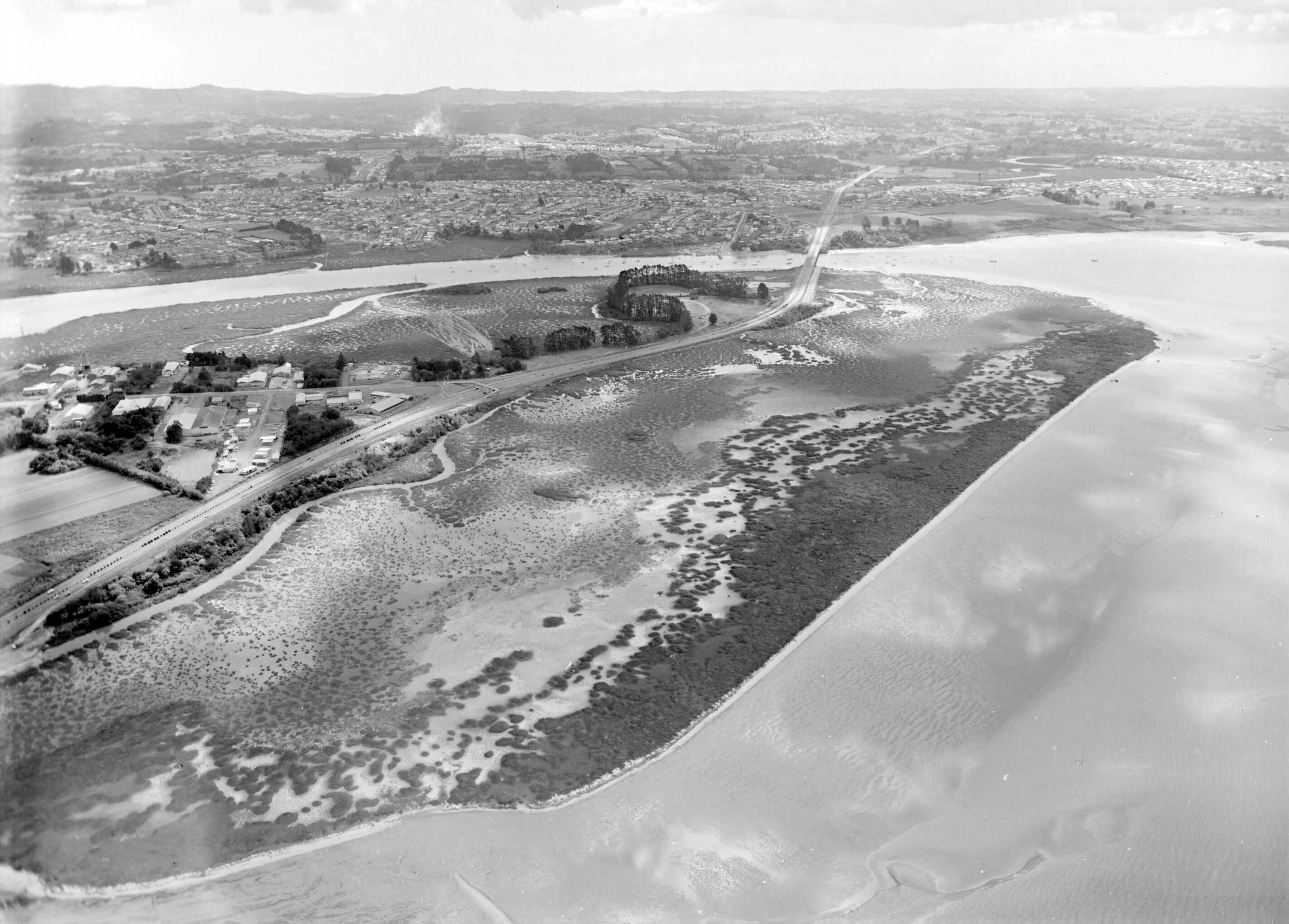
A black and white aerial photograph showing a small island with marshy vegetation bisected by a highway causeway, surrounded by tidal waters.
An aerial view of Pollen Island and the adjacent North West Motorway, Auckland.

Motumānawa / Pollen Island history and protected-area timeline

The island takes its English name from Daniel Pollen, who purchased it in 1855 and later became Premier of New Zealand. During the nineteenth century, Pollen used the island's shellbanks to produce lime for the brick and concrete industries, an early example of industrial use of the shellbank resource.

In 1918, the Avondale Road Board acquired the island, continuing the use of its shells for construction purposes, including layering material for footpaths. The shellbanks were therefore an actively harvested resource for several decades before the island shifted toward a conservation role.

From June 1995 to June 2005, the Royal Forest and Bird Protection Society of New Zealand leased the island from Ports of Auckland. During that decade of lease management, Forest and Bird identified the native plants and animals present and prepared a management plan for the site. In late 2005, the Department of Conservation acquired the island from Ports of Auckland, and in 2006 it was gazetted as an open scientific reserve.

The official name of the island was changed from Pollen Island to the dual name Motumānawa / Pollen Island on 12 November 2015, formally recognising both its Māori identity and its colonial-era English name.

Motumānawa / Pollen Island landscape and geographic character

Motumānawa / Pollen Island is a low-lying island in the Waitematā Harbour, the broad estuarine harbour that defines much of Auckland's waterfront. Its terrain is dominated by shellbanks accumulated over long periods, which give the island its distinctive raised profile in a tidal environment. The Northwestern Motorway passes very close by, and the industrial character of the surrounding harbour edge contrasts with the small island's protected natural status.

The island lies adjacent to Rosebank Peninsula, near the northern end of that peninsula, and is bordered by intertidal flats and shallow harbour waters. The wider marine reserve around the island protects these intertidal and shallow-water zones, creating a connected landscape where marine, tidal, and terrestrial habitats meet within a small spatial footprint.

Motumānawa / Pollen Island ecosystems, habitats, and plant life

The ecological character of Motumānawa / Pollen Island is defined by shellbank and estuarine ecosystems rather than forest or alpine environments. The island's vegetation is highly adapted to salt spray, tidal exposure, and sandy or shelly substrate.

The main plant communities on the island are dominated by Juncus kraussii, a salt-tolerant rush, along with Apodasmia similis, a tough native reed-like plant, and Plagianthus divaricatus, a sprawling coastal shrub. Smaller patches of New Zealand flax and Olearia solandri add variation to the habitat structure. Together these species form a dense, low-growing coastal plant community typical of northern New Zealand estuarine islands.

Surrounding the island, the Motu Manawa Marine Reserve extends the ecological value of the site into the intertidal and shallow marine environment, protecting shellfish beds, tidal flats, and the broader estuarine ecosystem of this part of the Waitematā Harbour.

Motumānawa / Pollen Island wildlife and species highlights

Motumānawa / Pollen Island supports breeding populations of several native bird species that depend on coastal and estuarine habitats. The island is recognised as a breeding site for New Zealand dotterels, New Zealand fernbirds, and banded rails, with black-backed gulls also present on the island.

These breeding populations give the island particular significance within Auckland, where extensive urban development and shoreline modification have reduced the availability of safe nesting habitat for ground-nesting coastal birds. The island's protected status, low human disturbance, and surrounding marine reserve combine to make it a relatively secure location for native birdlife within a heavily urbanised harbour system.

Motumānawa / Pollen Island conservation status and protection priorities

Motumānawa / Pollen Island carries a layered conservation profile. The island itself has been gazetted as an open scientific reserve since 2006, giving it formal protection for native flora and fauna and supporting scientific monitoring. The surrounding waters form part of the Motu Manawa (Pollen Island) Marine Reserve, established in 1996, which protects the intertidal and shallow marine ecosystems of the area.

Its conservation value lies in the combination of these protections within an Auckland harbour setting where much of the surrounding shoreline has been modified for industry, transport, and urban development. The island provides breeding habitat for several native bird species that have declined across much of the region, and its shellbank vegetation represents a relatively intact example of northern New Zealand estuarine plant communities.

The transition of ownership and management to the Department of Conservation in 2005, following a decade of Royal Forest and Bird management under lease, has placed the island within a long-term national framework for protected-area management rather than ad hoc local or industrial stewardship.

Motumānawa / Pollen Island cultural meaning and human context

The dual name Motumānawa / Pollen Island reflects the island's recognition within both Māori and English-speaking New Zealand heritage. The Māori name Motumānawa acknowledges the long-standing indigenous association with the island and its surrounding harbour environment, while Pollen Island reflects its nineteenth-century European history, when Daniel Pollen acquired the island in 1855.

The 2015 gazettal of the dual name brought the island's official identity into line with a broader trend in New Zealand place naming, where significant sites increasingly carry both their Māori and English names in formal recognition. The island's earlier history of shell harvesting for lime and road construction also places it within the broader story of Auckland's industrial and infrastructural development.

Top sights and standout views in Motumānawa / Pollen Island

Motumānawa / Pollen Island stands out for its combination of marine reserve, scientific reserve, and native bird breeding habitat within one of New Zealand's busiest urban harbours. Its shellbank vegetation, dual cultural naming, and layered protection history give it a distinctive identity among Auckland's coastal protected areas. The island also illustrates how small, well-managed sites can deliver disproportionate conservation value within a major metropolitan landscape.

Best time to visit Motumānawa / Pollen Island

As tidal and estuarine habitats, the Waitematā Harbour islands experience seasonal variation in bird activity, vegetation condition, and tidal exposure. Native bird breeding on the island tends to be most visible during the warmer months, when conditions are generally calmer and vegetation cover supports nesting activity. Winter and shoulder seasons bring cooler temperatures, reduced foliage, and more exposed shellbank surfaces. Visit timing is best shaped by an interest in observing breeding birdlife during the warmer months, while quieter seasons offer more subdued but still ecologically interesting conditions.

Monthly climate preview

Long-term monthly temperature averages and precipitation statistics for Pollen Island

Pollen Island Climate Normals and Measured Annual Temperature Patterns

Historical climate data from 1991 to 2020 outlines the measured annual temperature and precipitation rhythm across representative coordinates in Pollen Island. Examining the full monthly climate profile reveals detailed thermal ranges and seasonal precipitation variations.
Annual mean16 °C
13 °C20 °C
Jan20°
Feb20°
Mar19°
Apr18°
May16°
Jun14°
Jul13°
Aug13°
Sep13°
Oct14°
Nov16°
Dec18°
Warmest month
February

20.3 °C

Coolest month
August

12.7 °C

Wettest month
July

4.2 mm/day

Driest month
January

2.2 mm/day

Park location guide

Geography guide, regional context, and park location map for Motumānawa / Pollen Island

Motumānawa / Pollen Island park geography, regions, and map view in New Zealand

Understand where Motumānawa / Pollen Island sits in New Zealand through a broader geographic reading of the surrounding landscape, nearby location context, and its mapped position within the national park landscape.

How Motumānawa / Pollen Island fits into New Zealand

New Zealand is an island nation in the southwestern Pacific Ocean comprising two main islands and numerous smaller islands. Located east of Australia across the Tasman Sea, it features varied topography with the Southern Alps running along the South Island and volcanic terrain on the North Island. The country was settled by Maori people between 1280 and 1350, followed by European exploration beginning in 1642, and became a Dominion in 1907 before gaining full independence in 1947.

Wider geography shaping Motumānawa / Pollen Island in New Zealand

New Zealand lies in the southwestern Pacific Ocean, east of Australia across the Tasman Sea. The country consists of two main islands, the North Island and South Island, plus over 600 smaller islands. The North Island features volcanic plateaus and hills while the South Island is dominated by the Southern Alps mountain range. The country has a long coastline and is surrounded by the Pacific Ocean.

Map view of Motumānawa / Pollen Island

Use this park location map to pinpoint Motumānawa / Pollen Island in New Zealand, understand its exact geographic position, and read its mapped placement within the surrounding landscape more clearly.

Pigeon | © OpenStreetMap contributors

Location context for Motumānawa / Pollen Island

Auckland Region

Visual reference guide to shellbank habitats, tidal flats, and harbour wildlife refuges

Pollen Island Photos, Scenery, and Protected Estuarine Landscapes

Visual documentation of Pollen Island reveals the distinctive low-lying terrain and intertidal shellbanks that define this urban harbour refuge. Examining these protected estuarine views helps researchers understand the delicate balance between native bird breeding habitats and surrounding metropolitan infrastructure.

A black and white aerial photograph showing a small island with marshy vegetation bisected by a highway causeway, surrounded by tidal waters.

A small brown bird with a long tail perched among thin, lichen-covered branches with its beak open.

Park atlas

Continue comparing estuarine reserves and nearby coastal landscapes in the region

Exploring Parks Near Pollen Island and Surrounding Coastal Protected Areas

Browse other parks near Pollen Island to examine related estuarine reserves and coastal habitats across the wider regional geography. Comparing these protected natural areas provides broader context on urban marine conservation landscapes and tidal ecosystems.
Regional parkAuckland Region
About 18 km away#1 closest

Southwest

Waitākere Ranges Regional Park: Geographic Mapping of Auckland's Protected Coastal Forest

Volcanic terrain and expansive coastal wilderness boundaries

Examine the rugged geography of the Waitākere Ranges, spanning from sheer western sea cliffs to lush, regenerating forest valleys. This overview details the protected land, including volcanic rock formations, black sand surf beaches, and the inland reservoirs serving the Auckland region, highlighting its status as an ecologically critical heritage area.

Area
277.2 km²
Established
1895
Relief
Mountain
Climate
Subtropical
A soft, pale watercolor illustration depicting a winding stream flowing through a lush, green landscape with gentle hills in the background.
Nature reserveNew Zealand
About 18 km away#2 closest

West

Goldie Bush Scenic Reserve: Protected Forested Landscapes in West Auckland, New Zealand

A study in regenerating bush and Mokoroa Stream topography

Goldie Bush Scenic Reserve encompasses a dense, sheltered catchment valley known for its native forest canopy and the prominent Mokoroa Falls. Once heavily logged, this protected area now serves as an example of ecological restoration in the Waitākere Ranges. The reserve maps a blend of cultural history, including Māori fortification sites, against a backdrop of steep ridges and humid, stream-fed lowland terrain.

Area
2.49 km²
Established
1926
Relief
Upland
Scope
Terrestrial
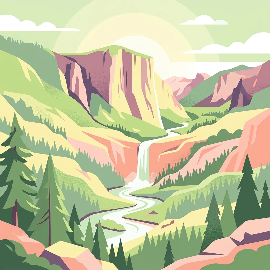
A flat-style digital illustration showing a winding river through a valley with pine trees, steep rock cliffs, and a waterfall under a soft sun.
Nature reserveAuckland
About 23 km away#3 closest

Southeast

Puhinui Reserve: Protected Nature Reserve and Volcanic Geography in Auckland, New Zealand

Coastal wetlands, maar craters, and working agricultural lands

Explore the physical geography of Puhinui Reserve, a protected nature reserve in South Auckland. This site encompasses rare saltmarsh habitat, active volcanic maar features, and estuarine environments situated on the shores of the Manukau Harbour. Gain insight into the volcanic ash, alluvium, and peat soil structures that define this unique transitional landscape.

Area
1.99 km²
Established
1991
Relief
Lowland
Climate
Temperate
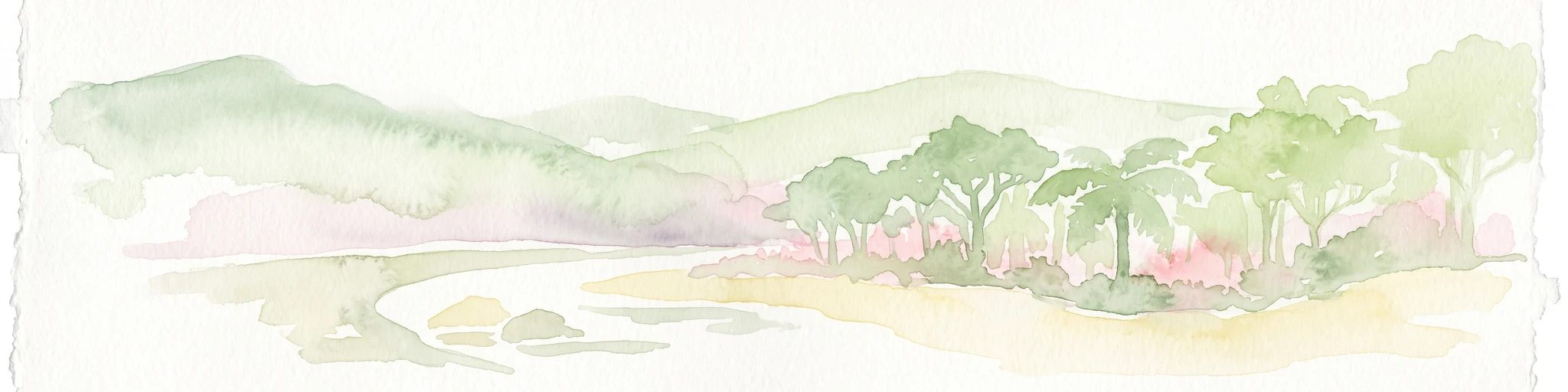
A horizontal watercolor painting of a coastal island landscape with rolling green hills, pale distant mountains, and coastal greenery.
Wildlife reserveAuckland
About 25 km away#4 closest

East

Motuihe Island Wildlife Reserve: Protected Landscapes and Hauraki Gulf Geography

Ecological restoration and coastal island history near Auckland

Motuihe Island represents a significant case study in island conservation, featuring intensive native forest regeneration and successful wildlife reintroduction. The mapped landscape details an elongated island geography defined by coastal beaches, sandstone terrain, and rich archaeological layers, serving as a prominent protected reserve for the Auckland region.

Area
1.79 km²
Relief
Lowland
Climate
Subtropical
Access
Moderate access
Regional parkAuckland Region
About 36 km away#5 closest

East

Whakanewha Regional Park: Mapping the Protected Landscapes and Wetlands of Waiheke Island

Coastal forest and wetland geography in the Auckland Region

Whakanewha Regional Park serves as a vital protected area on Waiheke Island, known for its mature broadleaf forests and significant freshwater wetlands. The park provides a compact yet varied landscape of stream valleys and coastal ridgelines, representing a key component of the regional geography within the Hauraki Gulf, sheltered from broader environmental pressures.

Area
2.7 km²
Established
2007
Relief
Upland
Climate
Temperate
Regional parkAuckland Region
About 36 km away#6 closest

North

Wenderholm Regional Park: Coastal Forest and Estuary Geography in the Auckland Region

Mapped protected landscapes of a coastal New Zealand peninsula

Situated on a narrow peninsula north of Auckland, Wenderholm Regional Park offers a compact study in diverse coastal terrain. The park encompasses the forested Maungatauhoro headland, the tidal Puhoi sandspit, and riverine boundaries that create a distinct protected environment. Since its 1965 founding, the area has become a haven for native bird restoration and coastal vegetation, providing a unique vantage point across the Hauraki Gulf.

Area
1.35 km²
Established
1965
Relief
Mixed relief
Climate
Temperate
Regional parkAuckland Region
About 37 km away#7 closest

North

Te Muri Regional Park: Mapped Coastal Peninsula and Estuarine Geography in Auckland

Protected native forest and tidal estuary landscapes

Te Muri Regional Park presents a unique peninsular landscape situated between the Puhoi River and Te Muri O Tarariki Stream in Auckland. This protected area showcases a complex interface between native coastal forest and tidal ecosystems, offering clear mapped boundaries that connect to the wider Hauraki Gulf coastal belt. Explore the topographical transition from sea level estuaries to rolling hill country.

Area
4.44 km²
Established
2010
Relief
Upland
Scope
Terrestrial
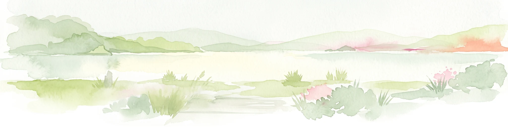
A soft watercolor illustration showing the low-lying shape of Motuora Island surrounded by calm water, with a distant hilly coastline in the background.
Nature reserveNorth Island
About 41 km away#8 closest

North

Motuora Nature Reserve: Protected Coastal Island Geography and Restoration Map

Predator-free ecological sanctuary in the Hauraki Gulf

Motuora occupies a key position in the Hauraki Gulf, offering a well-mapped look at coastal island restoration in New Zealand. This protected area features a regenerated forest interior and cliff-edged terrain, serving as an important mainland-island site for avian conservation, including kiwi and petrel colonies.

Area
0.8 km²
Established
1965
Relief
Lowland
Climate
Subtropical

Common questions about visiting, size, designation, and location context for Motumānawa / Pollen Island

Motumānawa / Pollen Island FAQs for park facts, access, geography, and protected area context

Find quick answers about Motumānawa / Pollen Island, including protected-area facts, park geography, trail and visitor context, and how the park fits into its surrounding country and regional landscape.
MoriAtlas Explorer

Continue Your Protected Areas Search Across the Global Atlas

Deepen your exploration by continuing the structured search for national parks and protected areas worldwide. Utilize the comprehensive filtering capabilities to compare different conservation landscapes and refine your understanding of global park geography. Discover more about the distribution and characteristics of protected natural areas.

Global natural geography