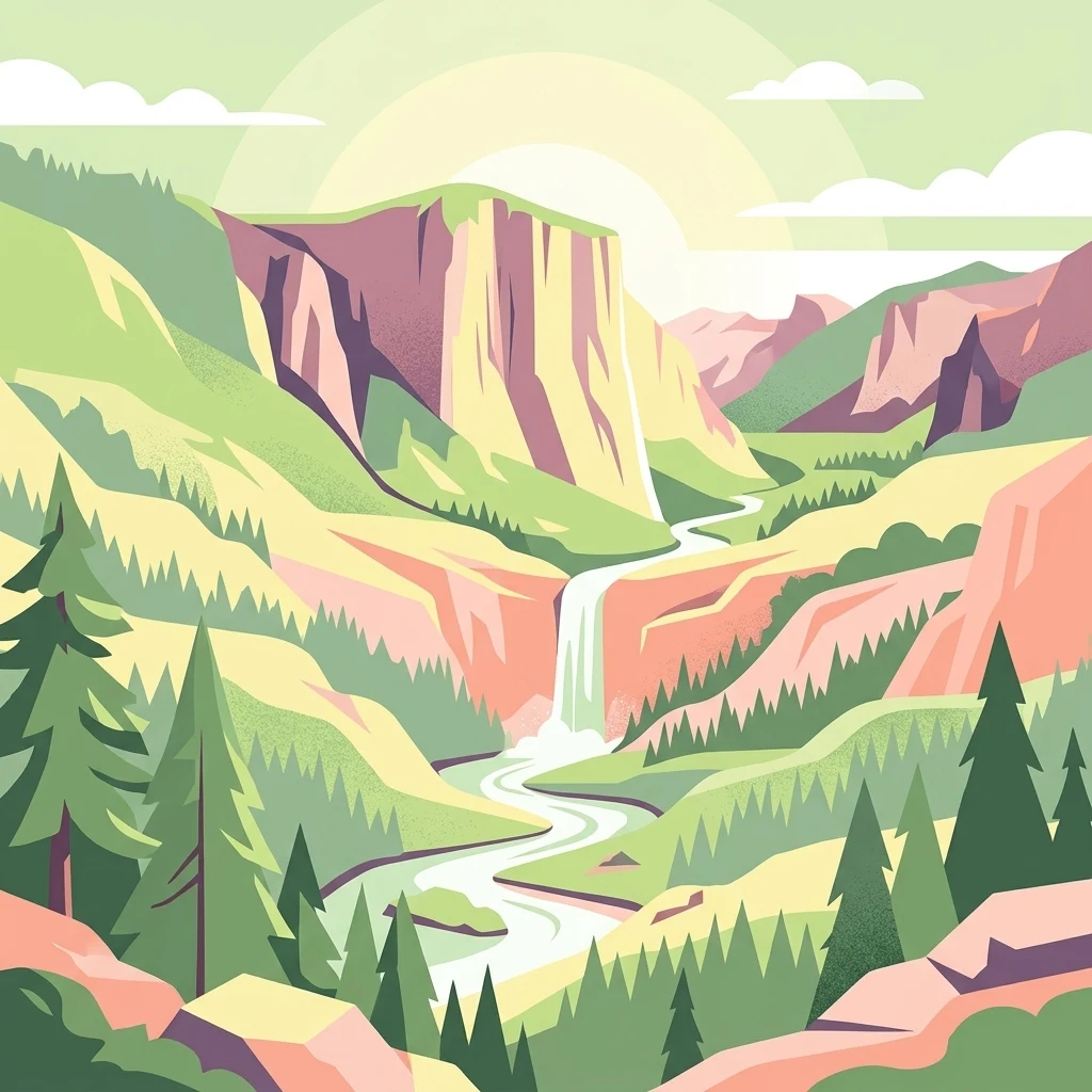

Why Puhinui Reserve stands out
Puhinui Reserve is best known for its unusual combination of features: three recently recognized maar volcanic craters, the largest remaining saltmarsh on the Manukau Harbour, and a working farm at the edge of urban Auckland. It is also well known as a culturally significant landscape for Tāmaki Māori peoples, particularly the Waiohua iwi, who have used the area for food gathering and cultivation for many generations.
Puhinui Reserve history and protected-area timeline
The Puhinui area has been occupied by Tāmaki Māori peoples for at least six hundred years, who used it as a gardening and food gathering area. The reserve sits beside the Waokauri / Pūkaki portage, one of the three major points where waka could be hauled between the Manukau Harbour and the east coast, and along the Puhinui Creek, which provided access into much of inland South Auckland. This history gives the area enduring cultural significance to Waiohua iwi, including Te Ākitai Waiohua and Ngāti Te Ata.
In the 1830s, the missionary William Fairburn claimed to have purchased a vast tract of South Auckland, around 83,000 acres stretching from Papatoetoe to Papakura, from Māori. Following the signing of the Treaty of Waitangi in 1840, the newly formed Colony of New Zealand reviewed the purchase and awarded Fairburn roughly a seventh of the land, with the Crown retaining the remainder. Puhinui itself was part of a 10,000-acre block granted in 1840 to the trader James Reddy Clendon, known as the Clendon Grant. By the 1850s the land had become the McLaughlin family's Puhi Nui estate.
The reserve itself was acquired in 1991, when Manukau City Council purchased the property. It was subsequently incorporated into Auckland Council's broader park network after the 2010 amalgamation of Auckland's local authorities. The reserve has continued to be managed as both a working sheep and cattle farm and as a protected wetland, reflecting the dual agricultural and environmental character of the original estate.
Coincidentally in 2011, the long-overlooked volcanic origin of the Puhinui Craters was finally identified, adding a significant geological dimension to the reserve's identity.
Puhinui Reserve landscape and geographic character
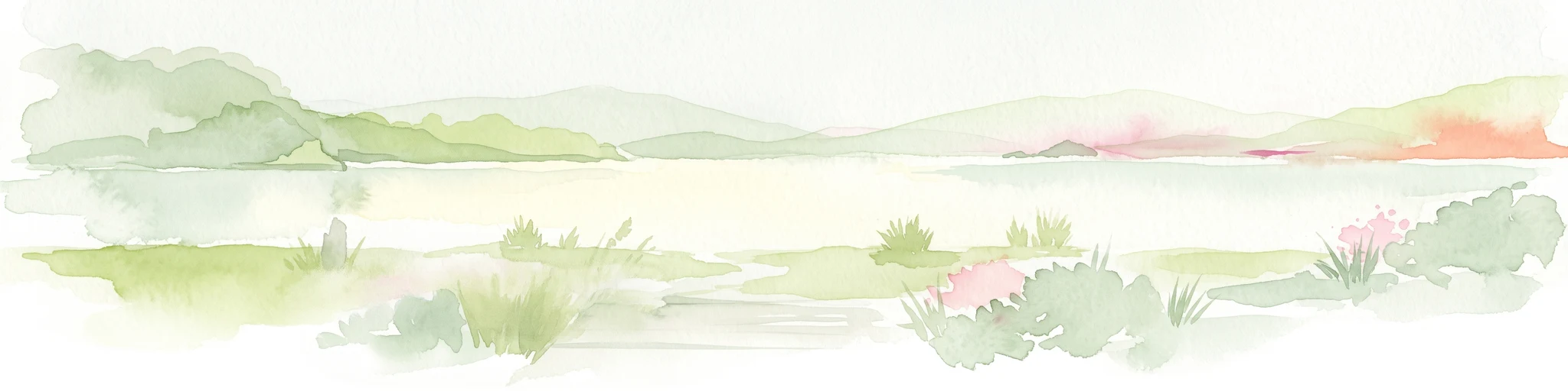
Puhinui Reserve lies on a low peninsula between the Puhinui Creek and the Manukau Harbour, giving it a distinctive coastal geography defined as much by water and tidal flats as by land. The peninsula setting creates a transitional estuarine environment where freshwater outflow from the creek meets saltwater tides flowing in from the harbour.
The terrain is shaped by its volcanic and wetland origins. Soils across the reserve are predominantly composed of volcanic ash, alluvium, and peat, all of which reflect repeated cycles of eruption, sedimentation, and waterlogging. The Puhinui Craters introduce subtle but distinctive relief to an otherwise low-lying landscape: three roughly circular maar features, each about 200 metres across. One crater still contains a pond, another has been breached and filled with sediment to leave a flat floor two to two-and-a-half metres below the surrounding tuff ring, and the third has been partly eroded away by the adjacent creek.
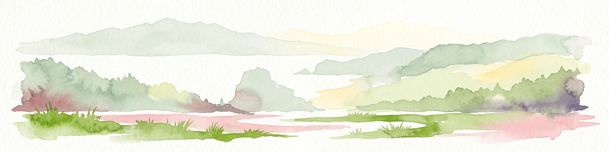
Surrounding these craters are the rest of the reserve's characteristic landforms: open pastoral flats, saltmarsh, mudflats, sandflats, and mangrove margins along the harbour edge. This combination of volcanic remnants, pastoral ground, and tidal estuarine flats gives Puhinui an unusually varied physical landscape within a relatively compact area.
Puhinui Reserve ecosystems, habitats, and plant life
The reserve sits in the estuarine transitional zone between Puhinui Creek and the Manukau Harbour, creating a layered mix of freshwater, brackish, and saltwater environments within a small area. This transitional setting has supported the development of a productive and ecologically distinctive wetland margin.
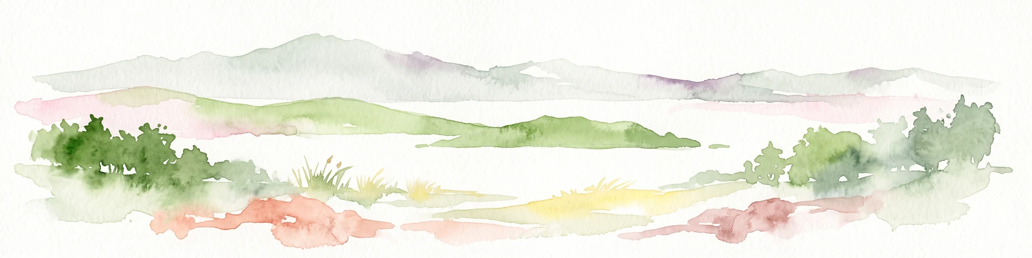
Vegetation and habitat patterns in Puhinui reflect the peninsula's position between land and sea. Freshwater influences from the creek support inland pasture and wetland vegetation, while the harbour side is dominated by saltmarsh, sandflats, mangrove patches, and shellbanks. Together these habitats form the largest contiguous area of saltmarsh remaining on the Manukau Harbour, an important ecological feature in a harbour that has experienced extensive historical reclamation.
The reserve's volcanic craters and peat-rich soils also contribute to the underlying ecological character, supporting plant communities adapted to the particular drainage and mineral conditions of maar landscapes. The result is a park that combines estuarine, wetland, freshwater, and lightly volcanic-influenced habitats in close proximity.
Puhinui Reserve wildlife and species highlights
The estuarine habitats of Puhinui Reserve support a range of bird and invertebrate life characteristic of Auckland's harbour margins. Two notable bird species associated with the reserve's sandflats, mangroves, and shellbanks are the buff-banded rail, a small ground-dwelling rail adapted to dense wetland vegetation, and the New Zealand fernbird, a skulking endemic species of reed and scrub habitats.
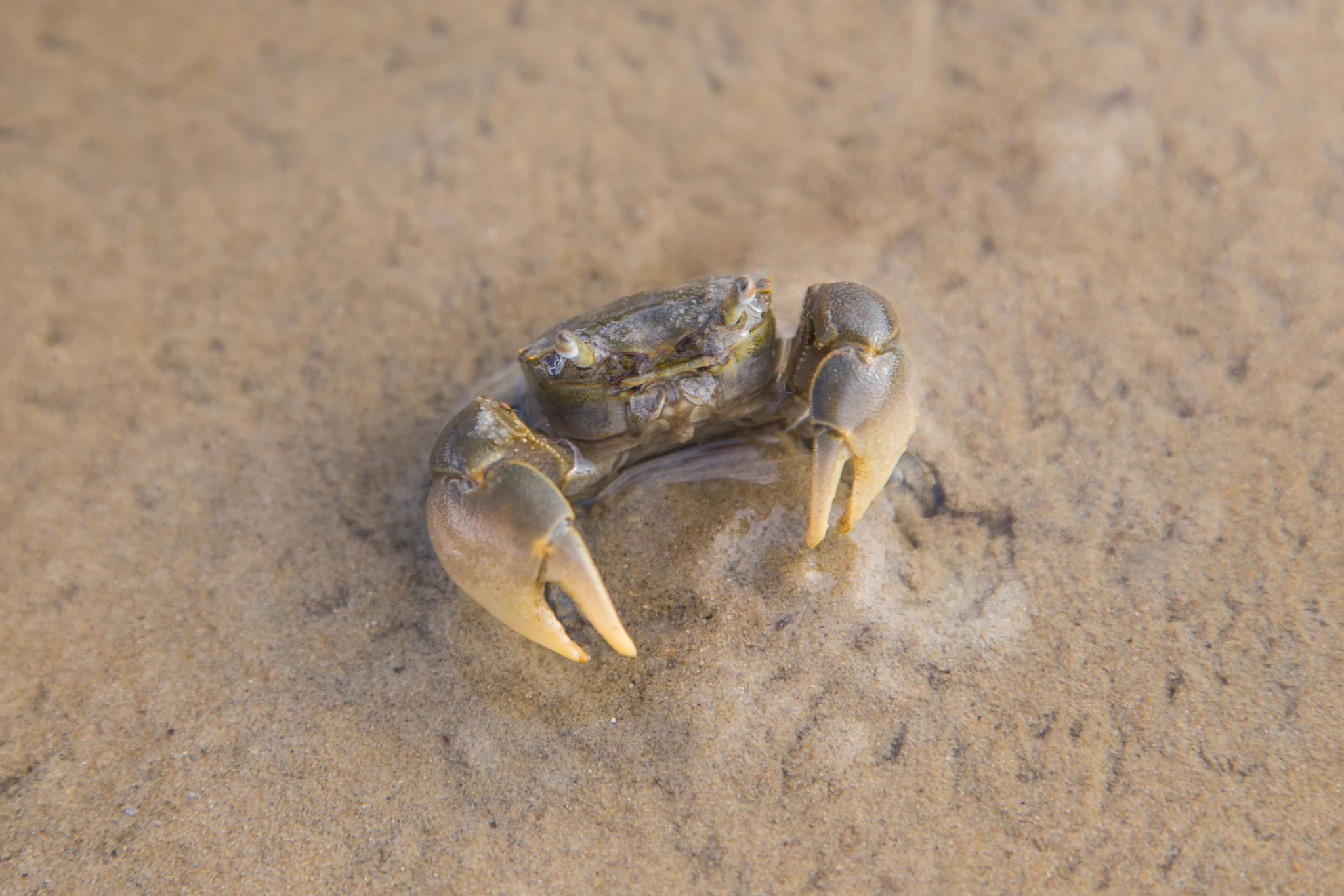
The harbour waters close to the reserve are known habitat for the tunnelling mud crab, a species endemic to New Zealand. The crabs inhabit the muddy intertidal zone of the Manukau Harbour, including the margins next to Puhinui Reserve, and are part of the broader estuarine fauna the protected saltmarsh helps sustain.
Beyond these characteristic species, the combination of pasture, saltmarsh, and tidal flats gives the reserve value for a wider range of shorebirds, waterbirds, and invertebrates typical of New Zealand's northern harbour systems, particularly as urban and industrial encroachment around the Manukau continues to reduce comparable habitat elsewhere.
Puhinui Reserve conservation status and protection priorities
Puhinui Reserve is significant for conservation primarily because it protects the largest remaining area of saltmarsh on the Manukau Harbour in a region that has otherwise experienced extensive coastal reclamation and urbanization. Saltmarsh is a rare and ecologically valuable habitat in the Auckland region, providing nursery grounds for fish and invertebrates, stabilization of estuarine sediments, and feeding areas for shorebirds. Preserving a functioning expanse of this habitat gives the reserve continuing ecological importance.
The reserve also protects a cluster of small maar craters and their associated ash, alluvium, and peat soils, adding a volcanic geological heritage value to the site's conservation profile. Although the craters were only recognized as volcanic landforms in 2011, their preservation within the reserve ensures that a meaningful fragment of the Auckland Volcanic Field remains intact within a heavily developed urban environment.
The dual management of the reserve as both a working farm and a protected wetland creates a distinctive conservation approach, maintaining pastoral land use while protecting estuarine and volcanic values. This balance reflects the reserve's history as part of the McLaughlin family's pastoral estate and offers a working example of integrating primary production with habitat protection within a large urban park.
Puhinui Reserve cultural meaning and human context
Puhinui holds significant cultural value to Waiohua iwi, including Te Ākitai Waiohua and Ngāti Te Ata, and to Tāmaki Māori peoples more broadly. The area has been used as a gardening and food gathering landscape for at least six hundred years, and its location beside the Waokauri / Pūkaki portage historically made it a strategic point where waka could be hauled between the Manukau Harbour and the east coast. Combined with access inland via Puhinui Creek, this gave the area enduring importance for Māori travel, settlement, and resource use.
The reserve also carries a layered European colonial history. The surrounding landscape was shaped by the controversial 1830s Fairburn purchase, which claimed an enormous tract of South Auckland and was later reviewed after the Treaty of Waitangi, and Puhinui itself was part of the 1840 Clendon Grant to trader James Reddy Clendon. By the 1850s it had become the McLaughlin family's Puhi Nui estate, a pastoral property whose name persists in the modern reserve. These layered Māori and European histories give Puhinui a strongly layered cultural and historical identity alongside its natural values.
Top sights and standout views in Puhinui Reserve
Puhinui Reserve combines three small maar volcanic craters within the Auckland Volcanic Field, the largest remaining saltmarsh on the Manukau Harbour, and an active working sheep and cattle farm within an urban Auckland setting. Its transitional estuarine location, where Puhinui Creek meets the harbour, produces a layered habitat of sandflats, mangroves, and shellbanks that supports notable bird and invertebrate species. The reserve also retains deep cultural significance for Waiohua iwi and offers open pastoral green space within an otherwise heavily developed industrial landscape.
Best time to visit Puhinui Reserve
Puhinui Reserve is open year round and its character shifts with Auckland's seasonal patterns. Spring and autumn typically offer mild weather and are a good time to appreciate both the pastoral farmland and the tidal flats without the extremes of summer heat or winter rain. The harbour margins and saltmarsh are most active for birdlife around low tide in any season, while the open pastoral land and volcanic craters are easiest to read in clearer weather when vegetation is less dense.