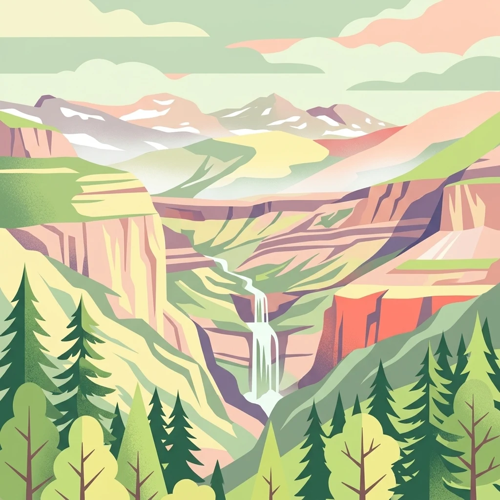

Why Pyrénées-Mont Perdu stands out
Pyrénées-Mont Perdu is best known for its combination of some of the most spectacular glacial cirques and deepest canyons in the European mountain chain, set around a high limestone massif at the heart of the Pyrenees. The three iconic summit peaks called the Trois Soeurs, Mount Perdu, the Cilindro de Marboré, and the Soum de Ramond, stand above the Ordesa valley and define the site's signature skyline. The site is equally famous for its living transhumance culture, in which Pyrenean communities still lead their livestock up to high summer pastures in the cirques and meadows. This rare continuity between dramatic Alpine scenery and centuries-old pastoral land use is what sets Pyrénées-Mont Perdu apart from many purely natural World Heritage sites.
Pyrénées-Mont Perdu history and protected-area timeline
The exploration history of Pyrénées-Mont Perdu begins in 1802, when the French naturalist Louis Ramond de Carbonnières and his guides made the first recorded ascent of Mont Perdu. Ramond recognised the massif as a high-altitude limestone formation carrying fossilised marine shells, providing striking evidence that ancient sea floors had been thrust upward to more than 3,300 meters in the heart of a mountain chain. This discovery contributed to a major shift in early nineteenth-century geological thought about the structure of mountain belts.
In 1903, the geologist Arthur Bresson identified the classic Gavarnie thrust sheet at the Espuguettes plateau, where younger rocks sit beneath older ones, confirming the concept of large-scale tectonic transport of rock masses that had been theorised by Marcel Alexandre Bertrand in 1884. These early geological investigations made the Mont Perdu area one of the most important outdoor laboratories for understanding nappe structures and Pyrenean geology.
The protected-area history of the modern site began in 1918, when a Spanish royal decree established the Ordesa Valley as a national park. This park was substantially expanded and renamed the Ordesa and Monte Perdido National Park in 1982, adding the Niscle canyon, the Escuain gorge, and the Mont Perdu massif itself, bringing its protected core to roughly 15,600 hectares and its peripheral zone to nearly 19,700 hectares.
On the French side, the Pyrénées National Park was created by decree in 1967, covering more than 45,700 hectares in its central zone and over 206,000 hectares in its peripheral zone across the Pyrénées-Atlantiques and Hautes-Pyrénées. The eastern portion of the French park, including the upper Luz-Gavarnie and upper Aure valleys, later became the French contribution to the binational World Heritage site.
The project of a transnational World Heritage inscription emerged in 1995, when France proposed the name Massif Mont Perdu-Tres Serols and Spain proposed Monte Perdido: Circos y Cañones. After negotiation, the present name Pyrénées-Mont Perdu was adopted, and on 6 December 1997, the site was inscribed under both natural and cultural criteria. In 1999 the site was extended on the French side to include the commune of Gèdre, and the departmental road linking Gavarnie to the Port de Boucharo was replaced by a footpath between the Port de Boucharo and the Col de Tentes.
Pyrénées-Mont Perdu landscape and geographic character
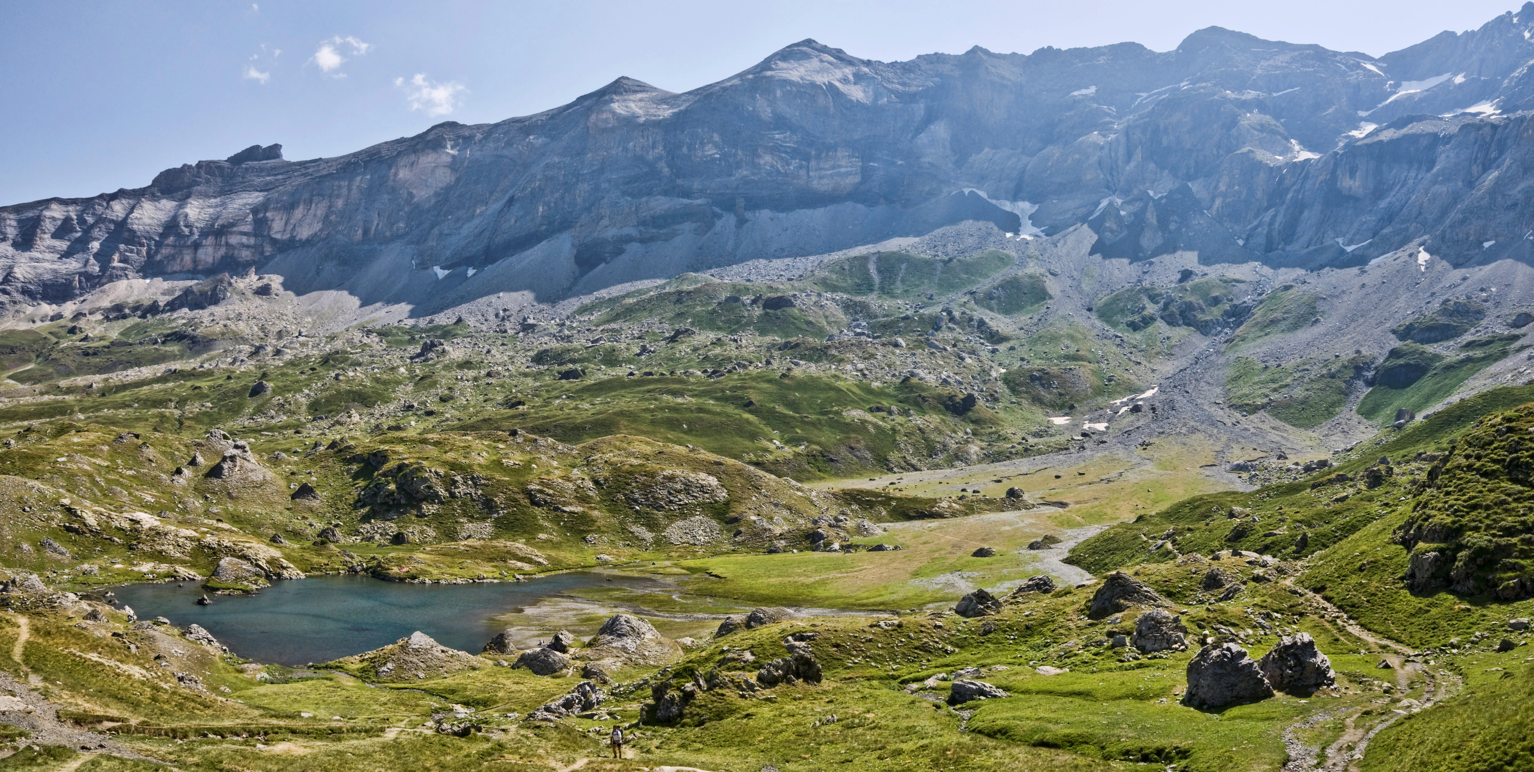
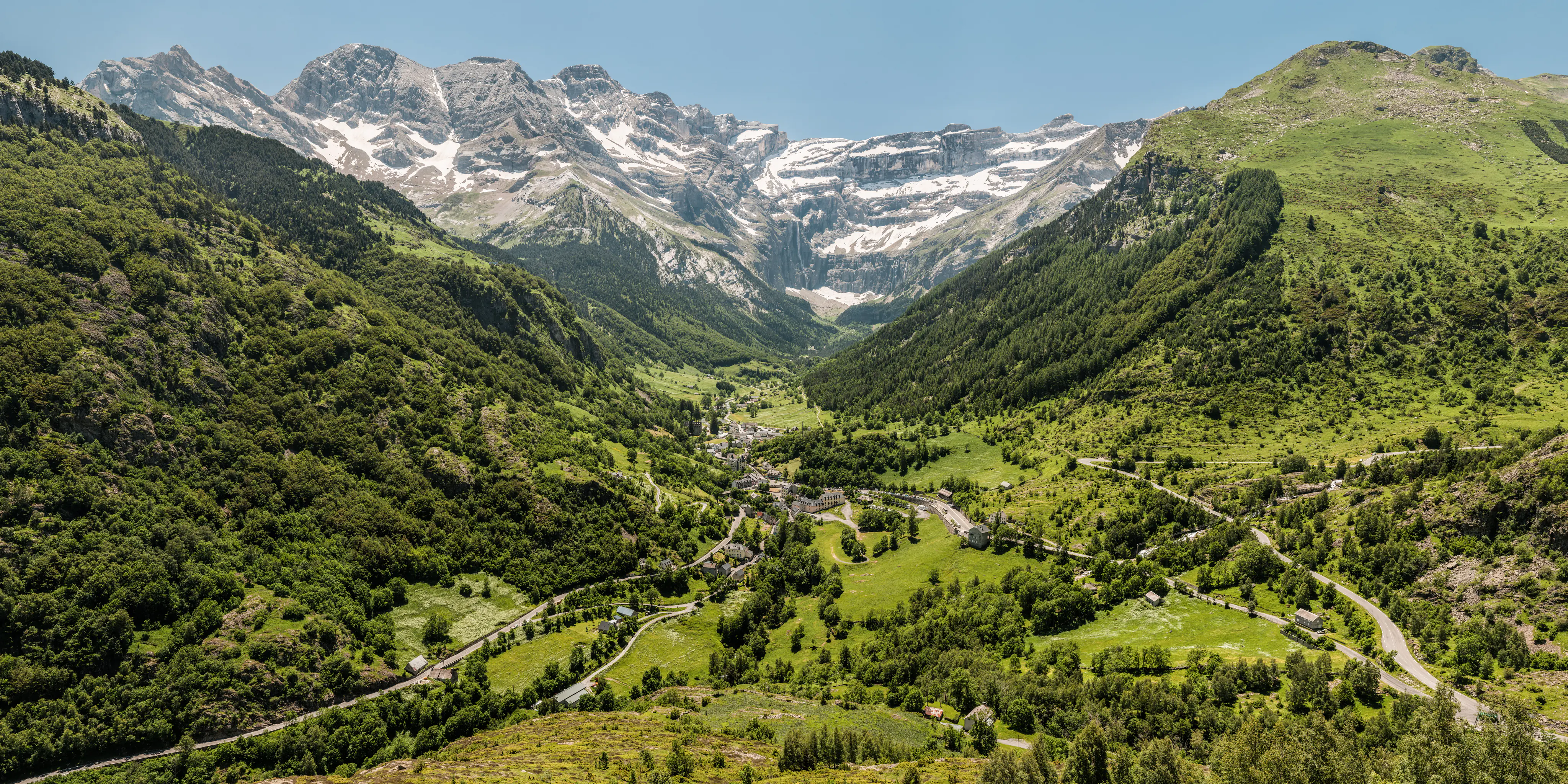
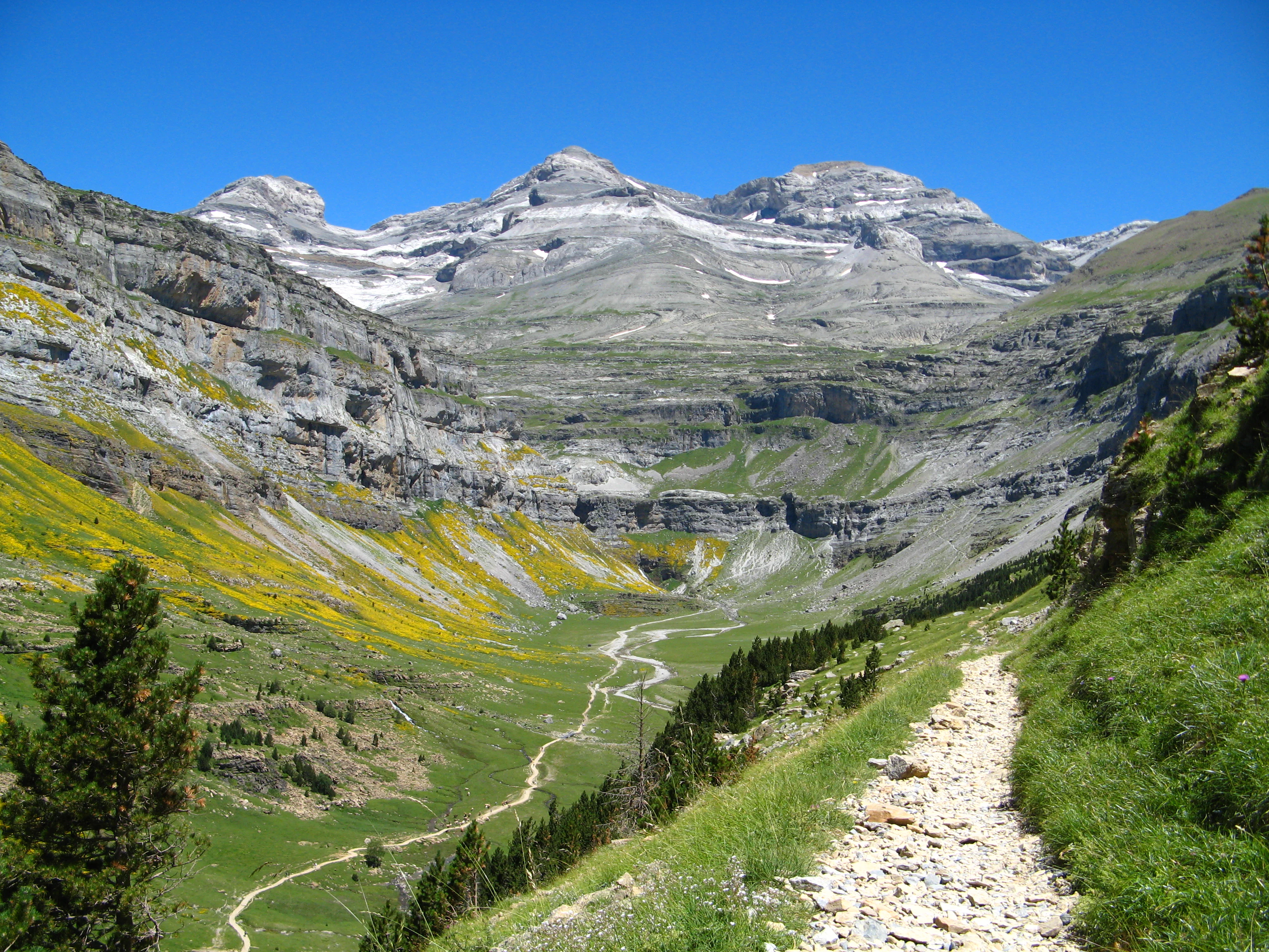
The landscape of Pyrénées-Mont Perdu is dominated by a central cluster of limestone summits more than 3,000 meters high, surrounded by two very different kinds of terrain shaped by ice and water. On the French, northern flank, the territory opens into a series of enormous glacial cirques: Gavarnie to the northwest, Estaubé to the north, Troumouse to the northeast, and Barroude to the east, each carved as a vast natural amphitheatre ringed by towering walls of sedimentary rock.
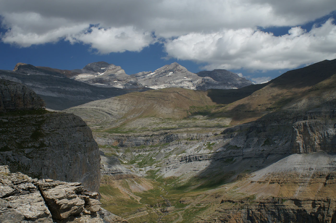
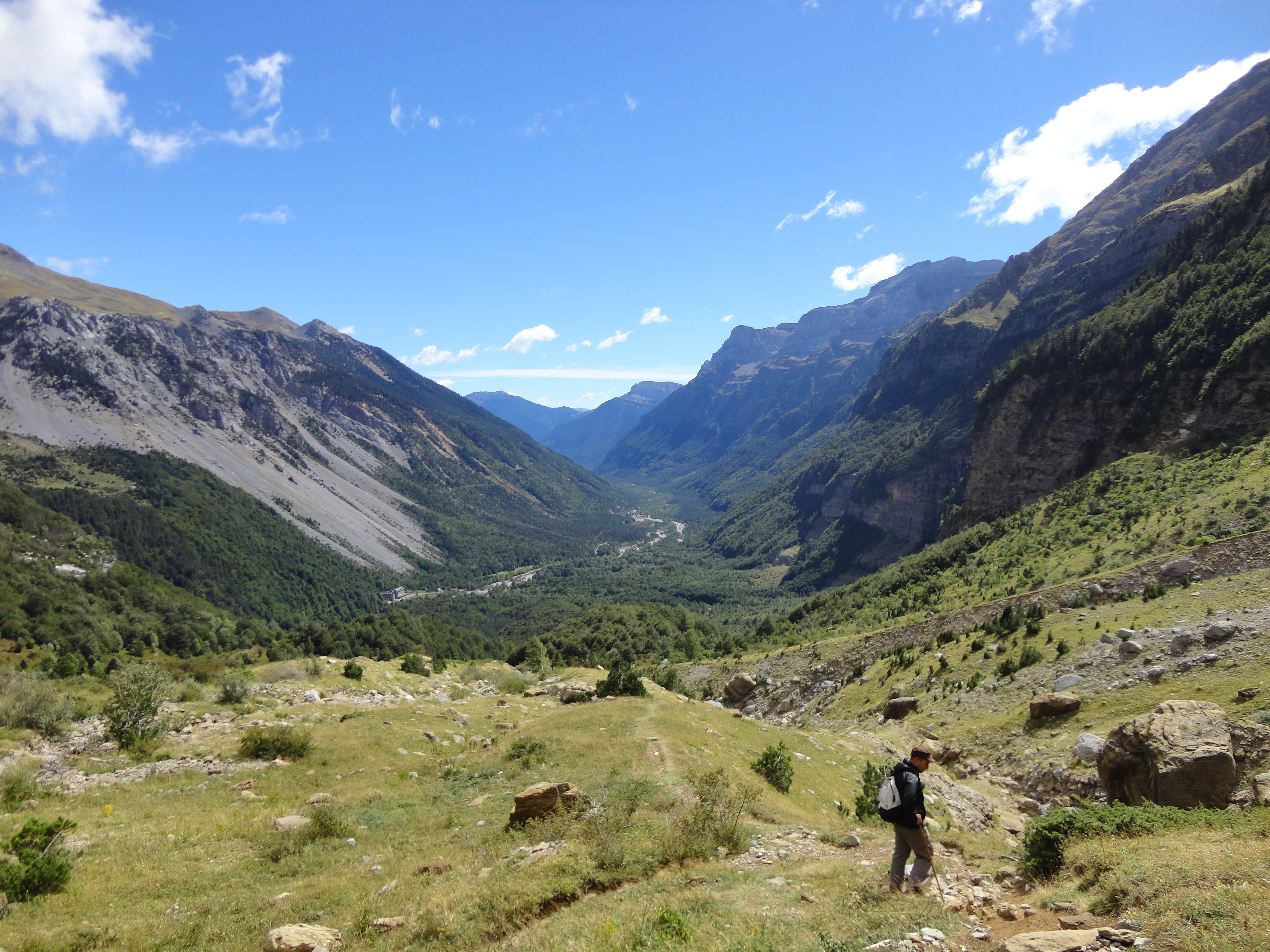
On the Spanish, southern flank, the terrain drops into a tightly knit system of deeply incised canyons, including Ordesa to the west, Niscle and its southern continuation into the Vellos to the south, the Gorges d'Escuain to the southeast, and the upper Pineta valley to the east, where the River Cinca rises. These canyons are among the deepest in Europe and stand in sharp visual contrast to the open cirques across the border.
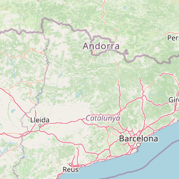
The brèche de Roland, a striking gap in the Pyrenean crest, is a notable geological curiosity within the area, and the Brèche de Tuquerouye and other high passes continue this pattern of dramatic rocky landmarks. The site is framed to the northwest by the Vignemale massif, to the northeast by the Néouvielle massif, and to the east by portions of the Munia massif, while the Bujaruelo and Ara valleys mark its western Spanish boundary and the lower Pineta valley its eastern edge.
Only a remnant of the once-giant Pyrenean ice cap survives as the Glacier du Mont-Perdu, a small ice patch a few tens of hectares in extent, an evocative reminder of the deep glacial past that shaped both cirques and canyons. Meanwhile, vegetation climbs from Mediterranean-influenced canyon bottoms to alpine meadows and bare limestone summits, producing strong vertical landscape contrasts in remarkably short horizontal distances.
Pyrénées-Mont Perdu ecosystems, habitats, and plant life
The ecological character of Pyrénées-Mont Perdu spans an unusually wide vertical and climatic range. In the deep southern canyons such as Niscle and Vellos, the microclimate allows near-Mediterranean vegetation to grow, with holm oak and Quercus faginea establishing themselves among the rocks and on deeper soils. Above this base, the mountain slopes carry mixed woodlands of sessile oak, common beech, silver fir, Scots pine, Pyrenean oak, and scattered birch, ash, willow, and hazel.
At the subalpine level, around 1,700 to 2,000 meters, mountain pine (Pinus uncinata) becomes the dominant tree, with box (Buxus sempervirens) in the understorey. Above the tree line, between roughly 2,000 and 3,000 meters, the landscape opens into alpine meadows where edelweiss grows alongside numerous Pyrenean endemics, including Ramonda myconi, Saxifraga longifolia, Aquilegia pyrenaica, Borderea pyrenaica, and Androsace pyrenaica.
The area as a whole hosts more than 1,500 plant species, of which about 50 are Pyrenean endemics, reflecting the combination of Mediterranean, Atlantic, and Alpine influences compressed into a relatively small footprint. This altitudinal stacking of ecological zones is one of the defining natural qualities of the site.
Pyrénées-Mont Perdu wildlife and species highlights
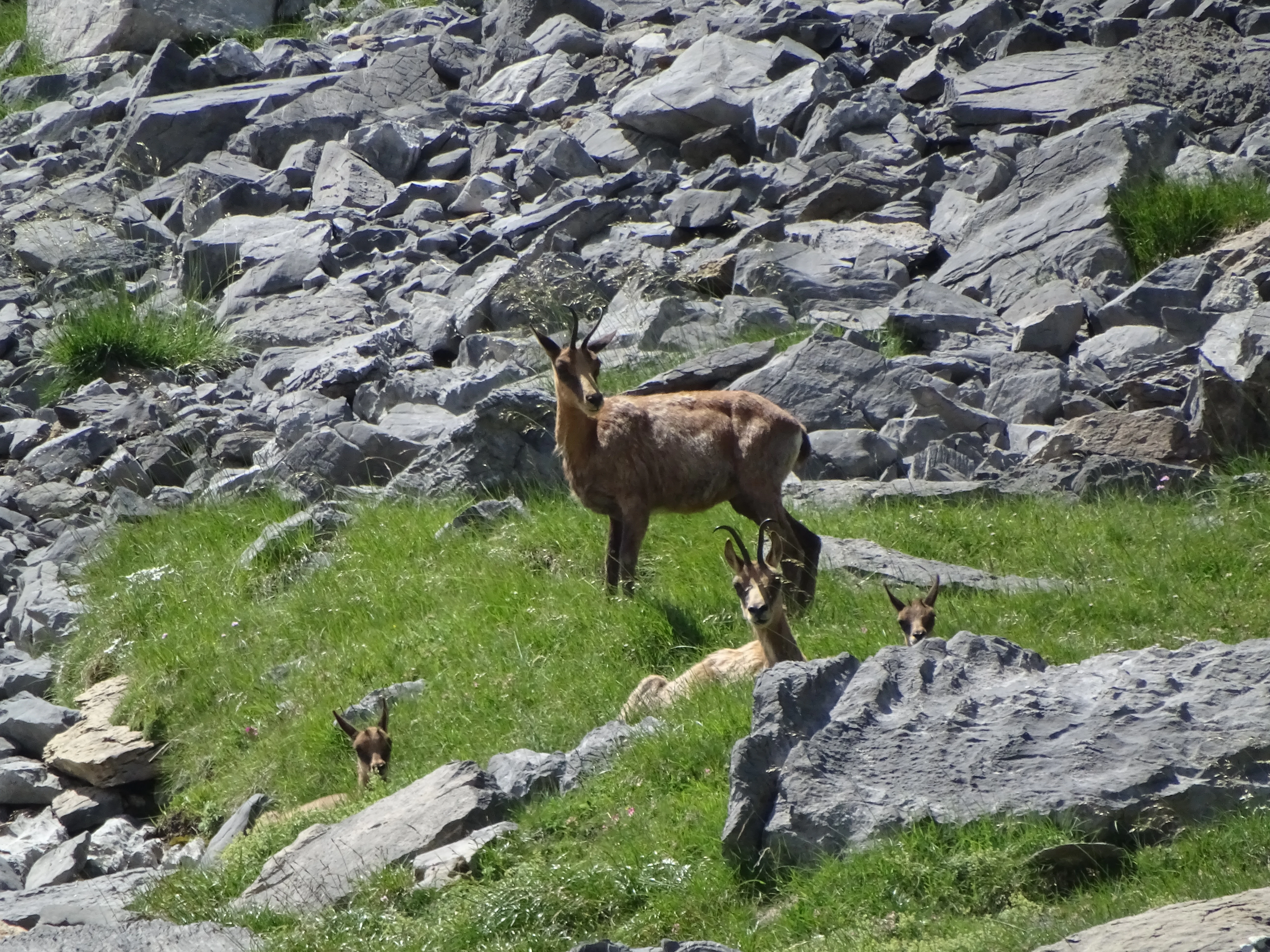
Pyrénées-Mont Perdu is home to a rich Pyrenean fauna shaped heavily by the presence of high mountain habitats and deep, sheltered valleys. Mammals include marmots, stoats (ermines), roe deer, and the Pyrenean chamois (isard), with roughly 800 individuals estimated in the massif. Among carnivores and insectivores, the Pyrenean desman, an aquatic, endemic insectivore, persists in the mountain streams.
The massif's emblematic ungulate, the Pyrenean ibex, was lost in 2000 despite conservation efforts, and France has since begun reintroducing the closely related Spanish ibex in the Gèdre area as part of an active restoration programme. Reptiles include the high-altitude Pyrenean rock lizard, an endemic species, while amphibians include the endemic Pyrenean newt, the common frog, and another endemic, the Pyrenean frog.
The avifauna is particularly noteworthy. The area supports the bearded vulture, Bonelli's eagle, the ptarmigan, the hazel grouse, the western capercaillie, the alpine chough, the marsh tit, the treecreeper, the wallcreeper, the northern wheatear, the black redstart, the alpine accentor, the water pipit, and the snow finch. Within the karstic system, cave-dwelling insects such as certain collembola and beetles associated with deep limestone crevices add a less visible but ecologically distinctive component.
Pyrénées-Mont Perdu conservation status and protection priorities
Pyrénées-Mont Perdu carries strong and layered conservation significance. It is protected simultaneously through two national parks, the French Pyrénées National Park and the Spanish Ordesa and Monte Perdido National Park, and through its UNESCO World Heritage inscription as both a natural and a cultural site. Together, these designations preserve one of the most important calcareous high-mountain areas in Europe.
The UNESCO natural criteria explicitly highlight the site's exceptional geological interest, including its deep canyons and tectonic setting at the collision zone between the Iberian and Eurasian plates, as well as its ecological richness and panoramic qualities. The massif is the highest limestone massif in Europe, and its geological succession and glacial sculpting are considered classic references for understanding mountain belt evolution.
The cultural criteria underscore that the site remains an exceptional example of a once widespread European pattern of transhumance pastoralism, now rare. Active conservation efforts include the reintroduction of the Spanish ibex on the French side to restore the lost Pyrenean ibex, and ongoing protection of the transhumance systems and associated villages, fields, and high pastures that are central to the site's outstanding universal value.
Pyrénées-Mont Perdu cultural meaning and human context
The cultural identity of Pyrénées-Mont Perdu is inseparable from its pastoral landscape. For centuries, the high valleys around the massif have been shaped by a system of transhumance in which communities move livestock seasonally between village fields in winter and high summer pastures in the cirques and upper meadows. This tradition remains in everyday use by seven communities living mainly near the boundaries of the World Heritage site.
On the French side, the hay meadows, mid-mountain pastures, and traditional mountain barns around Gavarnie, Estaubé, and Troumouse reflect an agro-pastoral culture still visibly active. On the Spanish side, terraced agriculture along the canyon's edge and the pastoral use of the upper Ordesa, Niscle, and Pineta valleys bear witness to a remarkable adaptation of mountain herders to demanding terrain.
The site also carries a strong identity in Pyrenean history of science. The early nineteenth-century ascents of Mont Perdu by Ramond de Carbonnières and his guides are part of the foundational narrative of modern Alpine geology, and the local name Tres Serols (or Tres Sorores in Spanish) for the Three Sisters peaks anchors the massif in regional folk tradition as much as in scientific literature.
Top sights and standout views in Pyrénées-Mont Perdu
Pyrénées-Mont Perdu combines Europe's highest limestone massif with one of the continent's best-preserved transhumance cultures, protected through both national park status and UNESCO World Heritage inscription. Its geography reads almost like a textbook of Pyrenean geomorphology: glacial cirques on the French side, deep canyons on the Spanish side, and limestone summits capped by the Trois Soeurs above the Ordesa valley.
Among its particular highlights are the iconic Cirque de Gavarnie, the depth of the Niscle and Ordesa canyon systems, the unique endemic flora and fauna of the calcareous Pyrenees, and the continued rhythm of seasonal livestock migration that still defines the daily life of several Pyrenean valleys. The site is a benchmark for understanding how dramatic Alpine scenery and human land use can coexist within a single, internationally recognised protected area.
Best time to visit Pyrénées-Mont Perdu
The character of a visit to Pyrénées-Mont Perdu shifts strongly with the seasons and reflects the site's dual identity as both a high-mountain natural landscape and a working pastoral one. Late spring and summer, roughly from late May through September, bring the meadows into flower, restore easy access to the higher cirques and canyon trails, and coincide with the transhumance season, when livestock and herders move into the high pastures and the cultural landscape is at its most vivid.
Winter and early spring transform the higher elevations into a much harsher environment, with deep snow, ice, and limited access to many of the high-altitude areas. This is the season when the geological drama of the limestone walls is sharpest but also when the area's alpine wildlife, including chamois and raptors, can be observed against a deeply quiet and sparsely visited backdrop. For visitors interested in seeing the transhumance cycle, the late summer period is when livestock returns from the high pastures, offering a particularly active cultural scene.