Mori Atlas logo
Park earthquake history

Explore an indexed catalogue of historical ground movement records mapped by proximity to protected park landscapes.

Recorded Earthquake History and Seismic Activity Near Rabengrund von Wiesbaden in Hesse

This collection provides a structured overview of documented seismic events with epicentres located within the geographic influence of the Rabengrund von Wiesbaden nature reserve. Users can browse event records including date, magnitude, depth, and epicentre distance relative to this protected Taunus valley system. The data is compiled for regional geographic reference to help understand historical seismic occurrences in this part of Hesse.

A flat vector-style illustration of a peaceful mountain valley scene, featuring a central waterfall descending into a river, surrounded by trees, grassy meadows, and distant cliffs under a pale sun.

A small meadow-and-stream nature reserve on the edge of Wiesbaden, shaped by centuries of grazing and Roman-era land use.

Rabengrund von Wiesbaden

The Rabengrund von Wiesbaden is a compact nature reserve, local recreation area, and European Flora-Fauna-Habitat (FFH) site in the northern outskirts of Wiesbaden, the state capital of Hesse in central Germany. It lies on the lower slopes of the Taunus range and protects a mosaic of meadows, spring-fed brooks, and forest fragments that originated from extensive agricultural use in Roman times. The reserve is notable for the unusual juxtaposition of low-intensity cultural landscape and urban proximity. Within just a few square hundred meters one moves from open meadows, dry grasslands, and orchid-rich wet flushes into mature beech wood, while the city of Wiesbaden sits immediately to the south. The result is one of the most valuable small-scale habitat complexes in the Vortaunus foothills. At the same time the area plays a role in regional drinking water supply and recreational use, with cyclists, riders, walkers, and model aircraft enthusiasts all using the surrounding trail network. Conservation aims therefore combine the preservation of rare plant and animal communities with careful management of human use.

Location
Germany
Park type
Nature reserve
Established
1988
Area
0.8 km²
Highest point
300 m
Rabengrund von Wiesbaden Nature Reserve Atlas

Examine Rabengrund von Wiesbaden records by distance

Study historical earthquakes around Rabengrund von Wiesbaden

Rabengrund von Wiesbaden protects 0.791 km² of German valleys, partial forest, grassland, wetlands, and rivers between 210 and 300 metres. Its seismic results provide regional chronology and location evidence while avoiding unsupported conclusions about reserve effects, active hazard, or later events.

Sort by
Magnitude
Location

This page describes catalogued earthquakes associated with the park by epicentre location and distance. It does not establish causation, assess current danger, or predict future earthquakes.

No earthquake records match the current filters

Park atlas

Go beyond Rabengrund von Wiesbaden earthquake records

Explore more protected destinations beyond Rabengrund von Wiesbaden

Rabengrund von Wiesbaden anchors its earthquake catalogue before the focus broadens from one Hessian meadow, orchid, nature-reserve, and FFH landscape into other destinations. Their appearance does not signify shared Natura 2000 status, habitat, proximity, geology, seismic observations, hazards, risk, recreation, or matching atlas coverage.
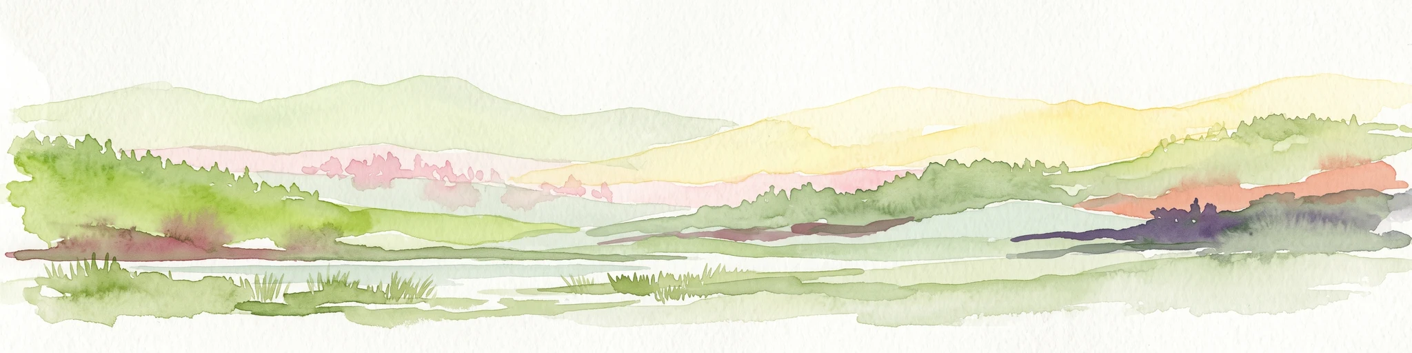
A horizontal watercolor painting depicting a soft-focus landscape with rolling green hills, distant light-yellow mountains, and forested slopes.
Protected landscapeHesse
About 4.1 km away#1 closest

West

Naturpark Rhein-Taunus: Mapped Protected Landscapes and Geographic Features in Hesse

Discover the forests, river valleys, and cultural sites of this significant German nature park.

Naturpark Rhein-Taunus encompasses 81,000 hectares of forested ridges and valley systems in the Taunus low mountain range. The area is defined by its near-natural woodland, including the extensive Hinterlandswald, and its unique integration with the Roman Limes and the Rhine wine region, offering a distinct study in protected area geography.

Area
810 km²
Established
1968
Relief
Mountain
Climate
Temperate
A horizontal watercolor illustration of a natural valley scene, featuring an open meadow in the foreground, forest edges in the midground, and rolling hills in the background.
Nature reserveHesse
About 7 km away#2 closest

Southwest

Rechtebachtal bei Georgenborn Nature Reserve: Geographic Profile and Protected Landscape

A mapped stream valley ecosystem in the Hesse Taunus foothills

The Rechtebachtal bei Georgenborn nature reserve protects a two-part valley corridor along the Rechtebach stream near Georgenborn and Martinsthal. This site preserves rare habitat mosaics of meadows and woodland that characterize the transitional zone between the Taunus highlands and the Rhine valley, offering a distinct study in regional conservation geography.

Area
0.185 km²
Established
1989
IUCN
IV
Relief
Upland
A watercolor painting showing a soft, atmospheric landscape with a river flowing through green hills and gentle, misty mountains.
Nature reserveRhineland-Palatinate
7.7 km away#3 closest

South

Inselrhein Nature Reserve, Rhineland-Palatinate: A Geographic and Protected-Area Atlas

River islands, floodplain forests, and Upper Rhine wetlands

Inselrhein features a chain of natural river islands and side channels forming a critical wetland habitat. The terrain transition from soft-wood to hardwood forest communities creates a layered landscape. Examine the protected boundaries and geographic significance of this river corridor between Mainz and Bingen, documented within the Rhineland-Palatinate atlas.

Relief
Lowland
Climate
Temperate
Access
Easy access
Scope
Terrestrial
A wide watercolor illustration showing a winding river flowing through a green floodplain with scattered trees and pale pink and purple hills in the distance.
Nature reserveHesse
About 8.2 km away#4 closest

South

Rettbergsaue Nature Reserve: Geography and Protected Landscapes in the Rhine Valley

A vital river island ecosystem and floodplain forest in Hesse.

Rettbergsaue serves as an essential riverine habitat in the Upper Rhine. This nature reserve, characterized by its alluvial woodland and riparian meadows, offers a detailed study of sediment-formed islands and the interplay between main-channel water flow and sheltered side-arm environments within the state of Hesse.

Area
0.68 km²
Established
1978
Relief
Lowland
Climate
Temperate
Watercolor painting of a misty river landscape with green trees, reeds, and soft hills in the background.
Nature reserveHesse
About 8.9 km away#5 closest

Southwest

Niederwallufer Bucht Nature Reserve: Rhine Floodplain Landscape and Geographic Context

Protected riparian habitat in the state of Hesse

Niederwallufer Bucht represents a key example of a conserved Rhine riverbank environment. This nature reserve protects a delicate mix of soft-wood forests, sheltered backwater bays, and riparian meadows. By maintaining these wetlands against the backdrop of the heavily settled Rheingau, the site provides a vital node of ecological continuity and a clear look at floodplain terrain within central Germany.

Area
0.13 km²
Established
2000
IUCN
IV
Watercolor painting of a gentle green valley with scattered trees and a winding path, featuring soft pastel tones.
Nature reserveHessen
About 10 km away#6 closest

Northwest

Pohlbachtal bei Adolfseck Nature Reserve: Geography and Protected Area Profile

Western Hintertaunus mosaic landscape in Hessen

Pohlbachtal bei Adolfseck protects a near-natural brook valley and surrounding slopes within the Rhein-Taunus Nature Park. This reserve sustains diverse habitats, from wet meadow floodplains to deciduous forest fringes, while preserving historical layers like the Roman Limes along its valley edges in Hessen.

Area
0.226 km²
Established
1990
IUCN
IV
Nature reserveHesse
About 11 km away#7 closest

East

Prügelwiesen bei Wiesbaden in Breckenheim: Protected Fen and Meadow Nature Reserve

Mapped landscapes and wetland conservation in Hesse, Germany

Prügelwiesen bei Wiesbaden in Breckenheim preserves a diverse wetland ecosystem featuring calcareous fens, sedge beds, and traditional orchard meadows. Located in the Rhine-Main region, this nature reserve offers a look into rare grassland communities and groundwater-dependent habitats that characterize the transition between the Taunus foothills and the Main lowlands.

Area
0.079 km²
Established
1994
IUCN
IV
Relief
Lowland
A soft watercolor painting depicting rolling green hills and a forested landscape under a pale, sunrise-hued sky.
Nature reserveHessen
11 km away#8 closest

Northeast

Rossert - Hainkopf - Dachsbau Nature Reserve: Geography and Protected Taunus Forest Landscapes

A preserved ridge system in the Hessen region of Germany

The Rossert - Hainkopf - Dachsbau nature reserve represents a compact but ecologically vital ridge system in the Taunus foothills. Spanning over 120 hectares of mixed forest, this protected area preserves the transition between woodland and open meadow while securing the headwaters of the Wellbach stream within its geographic boundaries.

Area
1.19 km²
Established
1977
IUCN
IV
MoriAtlas Explorer

Continue Exploring the Protected Landscapes of Rabengrund von Wiesbaden

Trace the ecological boundaries and mapped terrain of the Rabengrund von Wiesbaden nature reserve. Access data on this unique Hessian habitat complex to understand its place within the broader Taunus regional geography, as detailed by the MoriAtlas database.