Mori Atlas logo
Nearby park discovery

Compare protected geography along a reed-lined river-to-sea corridor

Map protected-area relationships around Randers Fjord across Denmark's estuarine coast

Explore 20 protected destinations around Randers Fjord, where the Gudenå reaches the Kattegat. Naturpark Randers Fjord is nearest at 4.8 km, followed by the Eldrup Skov forest-and-wetland reserve at 16.4 km and Mols Bjerge National Park at 25.0 km, broadening the map from fjord to inland and coastal landscapes.

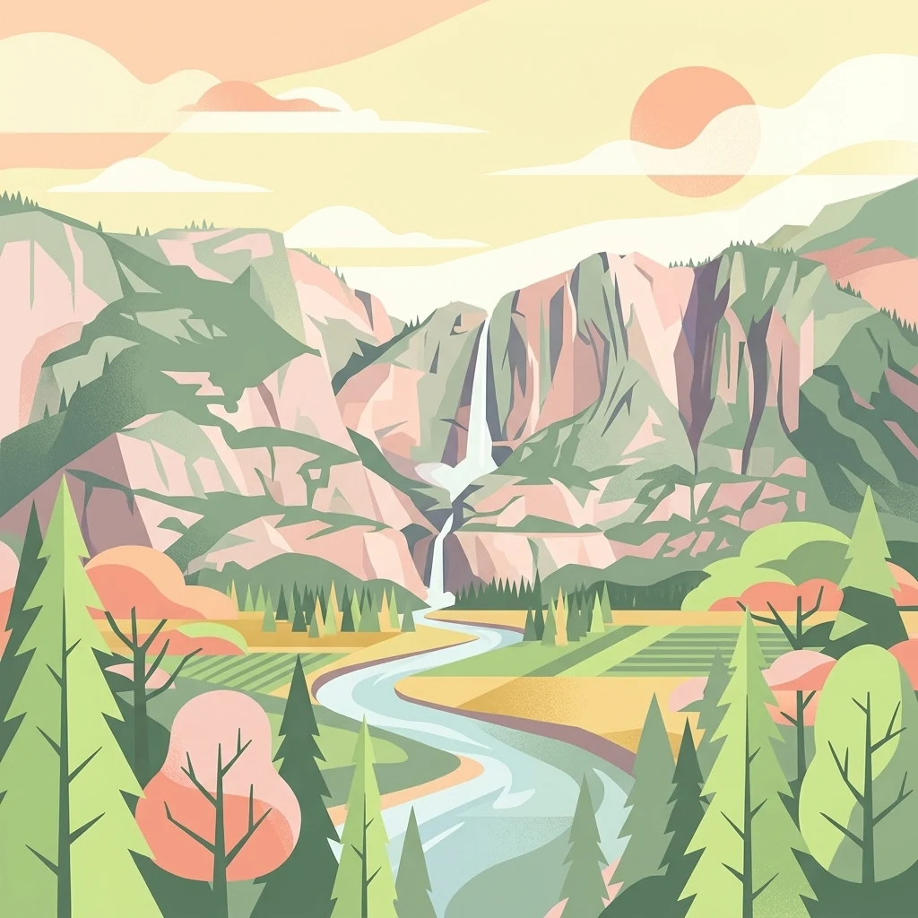
A stylized digital illustration of a valley featuring a cascading waterfall between two mountains, with a winding river in the foreground and pine trees.

A long, reed-fringed Danish fjord where the Gudenå meets the Kattegat.

Randers Fjord

Randers Fjord is a long, narrow waterway in eastern Jutland, Denmark, forming the tidal outlet of the Gudenå, the country's longest river, where it reaches the Kattegat strait. It stretches roughly thirty kilometers from the inland port city of Randers down to Udbyhøj on the coast, with the inner portion behaving like a river channel until it widens near Uggelhuse. The fjord's shoreline is dominated by dense freshwater reed beds, giving it a distinctive marsh-like character that sets it apart from more open Danish fjords. Today, the area supports a mixture of small-scale commercial navigation, angling tourism, conservation designations, and nature-based recreation centered on the fjord and its surrounding landscape.

Location
Denmark
Park type
Protected area
Established
2018
Randers Fjord Protected Area Atlas
Regional park map

See the ranked park cluster in its geographic setting

Nearby parks around Randers Fjord

This regional map shows the same 20 nearby parks ranked below around Randers Fjord. Select a ranked marker to highlight that park’s boundary where boundary data is available.
Reference park: Randers FjordRanked nearby park20 nearby parks shown
20 nearby parks

Distance and regional separation metrics for surrounding conservation zones

Ranked Parks and Protected Areas Geographically Near Randers Fjord

Spatial proximity rankings establish a structured geographic sequence for protected areas situated near Randers Fjord. Evaluating these neighboring locations highlights broader regional landscape variations and diverse environmental traits across the territory.
Protected landscapeRanders Kommune
About 4.8 km away#1 closest

Northeast

Naturpark Randers Fjord: Estuarine Geography and Protected Coastal Landscape in Denmark

Regional landscape profile and wetland ecosystem mapping

Naturpark Randers Fjord preserves a notable concentration of diverse ecosystems, from the unique east-facing tidal flats at Udbyhøj to the inland mosaic of bogs and dry grasslands. This protected area offers insight into the complex water-based topography where the Gudenå river meets the fjord. Explore the geographic composition, mapped boundaries, and varied terrain that define this protected landscape in the Randers Kommune area.

Area
292.5 km²
Established
2018
Relief
Lowland
Climate
Temperate
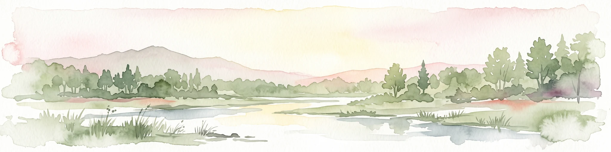
A soft watercolor painting showing a panoramic view of trees, water, and marshy land, rendered in a muted color palette.
Nature reserveRegion Midtjylland
About 16 km away#2 closest

East

Eldrup Skov og søer og moser i Løvenholm Skov: Geographic Map and Protected Landscape

An ecologically layered nature reserve in Region Midtjylland

This protected area unit unites five distinct parcels, including Gjesing Mose and Løvenholm Langsø, to preserve a rare slice of Danish forest and peatland. Use this mapping resource to understand the transition from dense broadleaf woodland to open raised bog habitats. The area represents a primary example of habitat restoration and conservation, showcasing how small, fragmented ecosystems retain their ecological integrity within a larger forest complex.

Area
1.55 km²
Established
2011
Relief
Lowland
Climate
Temperate
Watercolor illustration showing rolling hills, a lake, pink flowering trees, and distant mountains
National parkDenmark
About 25 km away#3 closest

Southeast

Mols Bjerge National Park: Glacial Geography and Protected Terrain in Central Jutland

Mapping the coastal cliffs and rolling heathland of Denmark

Mols Bjerge National Park protects a sweeping mosaic of glacial hills, woodlands, and coastal zones on the Djursland peninsula. With a landscape shaped by ancient ice sheets, the park offers a detailed view into Denmark's geological history, preserved ancient barrows, and rich botanical diversity along the Kattegat sea.

Area
180 km²
Established
2009
IUCN
II
Relief
Upland
Watercolor painting of a panoramic landscape featuring green rolling hills, light foliage, and patches of pink wildflowers in the foreground.
National parkCentral Jutland
About 33 km away#4 closest

Southeast

Nationalpark Mols Bjerge: A Geographic Overview of Central Jutland's Glacial Landscape

Mapped terrain, dead-ice hills, and prehistoric monuments

Nationalpark Mols Bjerge offers a deep look into the glacial heritage of Central Jutland. The area features steep, sun-exposed slopes, heathland, and coastal fringes that provide a unique perspective on the Danish landscape. By examining the park's mapped boundaries, one can identify the convergence of geological landforms and ancient cultural history preserved within this protected environment.

Relief
Mountain
Access
Easy access
Water
Major water bodies
Nature reserveRegion Midtjylland
About 34 km away#5 closest

Southeast

Tved Kær Nature Reserve: Protected Coastal Habitat Geography in Region Midtjylland

Exploring lime-rich fens and coastal cliff terrain.

Tved Kær represents a compact but ecologically dense protected area in Denmark, known for its rare calcareous fen and seepage vegetation. Situated near the village of Tved, this nature reserve integrates coastal cliffs and raised seabed to form a distinct habitat mosaic within the Mols peninsula, serving as a vital site for rare orchid species and lime-rich soil preservation.

Area
0.06 km²
Established
1981
Relief
Lowland
Climate
Temperate
Watercolor painting of a hilly, green, and light-filled landscape featuring low mounds and soft vegetation typical of moorland.
Protected areaDenmark
About 35 km away#6 closest

West

Ø Bakker Protected Area: A Map of the Heath-Covered Ridge in Central Jutland, Denmark

Glacial ridge geography in the Nørreå valley

Ø Bakker stands as a striking geological landmark where a heather-clad hill ridge rises sharply from the lowland meadows of Denmark. This protected area offers clear insights into the undulating terrain and dry heath habitats preserved between the meanders of the Nørreå river, providing a valuable study in regional glacial geomorphology and conservation mapping.

Area
2.85 km²
Established
1975
Relief
Upland
Climate
Temperate
A wide watercolor illustration of a lake surrounded by green trees and rolling hills, with a small tree and pink flowers in the foreground.
Nature reserveAarhus Kommune
About 37 km away#7 closest

South

Brabrand Sø Nature Reserve: Mapped Geography of an Aarhus Glacial Tunnel Valley

Protected freshwater wetlands and urban green corridors in Denmark

Brabrand Sø represents a rare, shallow freshwater lake and wetland complex located at the edge of the Aarhus urban fabric. This nature reserve, formed within a post-glacial tunnel valley, remains a cornerstone of the regional landscape through its integration of bird habitats, drinking-water protection, and open meadow terrain. The area offers a profound look at how peri-urban green infrastructure sustains both ecological health and geological character in the Aarhus Kommune region.

Area
1.54 km²
Established
1959
Relief
Lowland
Climate
Temperate
A horizontal watercolor painting depicting a gentle, rolling green landscape with tall grasses in the foreground and soft hills in the background.
Protected areaAarhus Kommune
About 38 km away#8 closest

South

Årslev Engsø Protected Area in Aarhus Kommune: Geographic and Wetland Map

Restored freshwater lake and ecological tunnel valley habitat

Årslev Engsø is a primary example of freshwater restoration located in the Aarhus Å valley of Denmark. This protected area features a shallow lake basin, managed wet meadows, and essential reed bed habitats that serve as a crucial filtering system for the downstream watershed. Through our mapped atlas, examine the terrain and geographic context of this wetland environment situated near the eastern Jutland coast.

Area
2.1 km²
Established
2003
Relief
Lowland
Climate
Temperate
Nature reserveRegion Midtjylland
About 38 km away#9 closest

Southeast

Stubbe Sø Nature Reserve: A Geographic Exploration of Djursland Protected Landscapes

Mapping the wetlands, forest fringes, and mire systems of eastern Jutland.

Stubbe Sø is a central protected feature within the landscape of eastern Jutland, comprising a large shallow lake surrounded by alder-birch shorelines and coniferous plantations. This nature reserve offers deep insight into the glaciated terrain and wetland mosaic of the Djursland peninsula, providing an essential geographic reference for understanding local conservation habitats and regional waterbird migration corridors.

Area
7.78 km²
Established
1963
Relief
Lowland
Climate
Temperate
Watercolor painting of a calm coastal bay with soft, layered green hills in the distance and a pale shoreline in the foreground.
Protected areaDenmark
About 40 km away#10 closest

Southeast

Begtrup Vig Protected Area: Glacial Terrain and Coastal Geography in Denmark

Coastal landscape and regional protected area mapping

Begtrup Vig is a distinct coastal bay defined by its glacial history, stretching across the southern Djursland peninsula in Denmark. Within the broader Mols Bjerge national park framework, the area features varied topography including stony shores, sandy coves, and pastoral meadows. This record provides a focused look at the environmental boundaries and geographic significance of this protected habitat, bridging natural terrain with the regional landscape context.

Relief
Upland
Scope
Mixed
Water
Water-dominated
Season
Year-round
A horizontal watercolor illustration showing a calm coastal bay with grassy banks, winding water channels, and rolling hills in the background under a soft yellow sky.
Protected areaRegion Midtjylland
About 41 km away#11 closest

Southeast

Natura 2000-område nr. 51 Begtrup Vig og kystområder ved Helgenæs Geography and Maps

Coastal grasslands and marine habitats in Region Midtjylland

Examine the complex terrain of Natura 2000-område nr. 51 Begtrup Vig og kystområder ved Helgenæs, an expansive protected area characterized by its diverse coastal cliff systems and large calcareous grasslands. This site documents the evolution of the Kattegat shoreline through its unique recurved spits and lifted seabed formations, providing a window into the natural landscape history of the Helgenæs peninsula.

Area
17.71 km²
Established
2011
Relief
Lowland
Climate
Temperate
A soft watercolor painting depicting a scenic landscape with distant purple hills, green forests, and a body of water in the foreground, set against a plain white background.
Nature reserveRegion Midtjylland
About 49 km away#12 closest

Southwest

Silkeborgskovene Nature Reserve: Mapping the Forest and Lake Highlands of Central Jutland

Protected woodlands and freshwater mosaic in Denmark

Silkeborgskovene represents a profound example of Denmark's inland natural heritage, spanning a wide array of mature beech forests and clear lakes across the Søhøjland. This structured record provides geographic and habitat context for the reserve, detailing its role as a vital Natura 2000 protected area that preserves diverse ecosystems ranging from dry heathland to calcareous fens and unique brown-water aquatic environments.

Area
14.55 km²
Established
2011
Relief
Upland
Climate
Temperate
Protected areaRegion Midtjylland
About 50 km away#13 closest

South

Kysing Fjord Protected Area: Coastal Lagoon and Saltmarsh Geography in Region Midtjylland

Mapped coastal lagoon and wetland protected area

Kysing Fjord serves as a significant coastal lagoon system on the eastern Jutland coast. This protected area in Region Midtjylland integrates shallow lagoon waters, saltmarsh meadows, and riverine terrain, offering a precise look at managed coastal landscapes and their ecological importance for wintering bird populations.

Area
3.7 km²
Established
1942
Relief
Lowland
Climate
Temperate
A minimalist watercolor painting showing rolling green hills and pink heather under a white sky.
Protected landscapeSilkeborg Municipality
About 51 km away#14 closest

Southwest

Sindbjerg og Stovbjerg: Protected Heath and Glacial Landscape near Silkeborg Municipality

Twin heather summits overlooking the central Danish lake district

Sindbjerg og Stovbjerg features two prominent summits that have remained open heathland since early conservation efforts in 1919. This protected landscape offers a rare perspective on the Gudenå tunnel valley, providing panoramic vantage points across Borre Sø and the surrounding forested ridges of Jutland.

Area
0.22 km²
Established
1910
Relief
Upland
Climate
Temperate
Protected areaCentral Denmark Region
About 55 km away#15 closest

West

Fiskbæk Å Protected Area: Geographic Context and Mapped Valley Features in Central Denmark

Restored freshwater corridors and heathland mosaic geography.

Fiskbæk Å functions as a vital protected landscape in the Central Denmark Region, spanning a complex valley system that includes former lake basins and spring-fed wetlands. This detailed view captures the stream's transition from high-ground heath to the Hjarbæk Fjord, highlighting its role as a formally recognized Natura 2000 habitat area.

Area
1.71 km²
Established
1984
Relief
Lowland
Climate
Temperate
Panoramic watercolor illustration of a lake with green and pink trees and purple mountains in the background.
Protected areaCentral Denmark Region
About 55 km away#16 closest

Southwest

Natura 2000-område nr. 52: Protected Lake and River Landscape in Central Denmark

Mapping freshwater habitats, mires, and sandy heath ridges.

Centered on the Salten Å river valley and the expansive waters of Mossø and Salten Langsø, this protected area represents one of the most significant freshwater networks in Denmark. The territory includes diverse habitat types ranging from calcareous fens and rare raised bogs to sandy dry heaths and Atlantic beech woodlands, creating a vital ecological corridor within the Central Denmark Region.

Area
44.7 km²
Established
2011
A horizontal watercolor illustration depicting a river flowing through a lush green valley with rolling hills in the background under a soft, warm sky.
Protected areaCentral Denmark Region
About 56 km away#17 closest

Southwest

Salten Å Protected Area: Geography and Landscape Atlas of Central Denmark

Mapping inland river valleys and protected heathland corridors

Salten Å serves as a primary freshwater tributary and a protected natural corridor in the Central Denmark Region. This atlas entry provides insight into the valley's diverse terrain, spanning from the elevated inland heath at Sepstrup Sande to the forest-lined slopes and lake systems that characterize this unbroken Jutland habitat.

Water
Major water bodies
Watercolor painting depicting a gentle, rolling green landscape leading to a distant blue sea under a pale sky.
Protected areaRegion Midtjylland
About 57 km away#18 closest

South

Nordby Bakker Protected Area: Glacial Moraine and Grasslands in Region Midtjylland

Coastal cliffs, dunes, and rare calcareous ecosystems

Nordby Bakker preserves one of the largest continuous dry grassland complexes in Denmark, set upon a prominent glacial terminal moraine. Located at the northern tip of Samsø, this protected area features a unique synthesis of coastal dunes, beach ridges, and inland lakes that support a distinct array of rare plant and insect species within the central Kattegat region.

Area
6.28 km²
Relief
Upland
Climate
Temperate
Scope
Mixed
Nature reserveRegion Midtjylland
About 57 km away#19 closest

Southwest

Natura 2000-område nr. 54 Yding Skov og Ejer Skov: Geography and Protected Area Context

Glacial plateau and forest reserve in Region Midtjylland

Natura 2000-område nr. 54 Yding Skov og Ejer Skov covers roughly 130 hectares of diverse Danish terrain. The reserve encompasses mature broadleaf forests and rare seepage habitats, mapped alongside significant Bronze Age archaeological sites. This protected landscape provides a clear view into the glacial geography and woodland conservation efforts characterizing eastern Jutland.

Area
1.3 km²
Established
2011
Relief
Upland
Climate
Temperate
Protected areaDenmark
About 57 km away#20 closest

North

Aalborg Bugt: Geography and Protected Area Overview in Northern Denmark

Coastal wetlands, shallow marine habitat, and fjord systems

Aalborg Bugt represents a defining seascape for northern Denmark, stretching along the Kattegat coast to include diverse coastal features like dunes, salt meadows, and rich fens. As the largest Natura 2000 site in the country, the bay supports a continuous conservation corridor that bridges marine environments with inland fjord networks, offering a deep look into the regional geography and protected-land dynamics of the Jutland peninsula.

Area
1,774 km²
Distance methodology

Geographic measurements, not driving distances

How nearby park distances are calculated

Distances use park boundaries whenever the available geometry allows it. When one or both boundaries are missing, the mapped park locations provide a clearly labelled estimate. Every value represents straight-line geographic separation and does not use roads or routing.

Boundary distance

Calculated between the nearest points of both park boundaries.

Location-to-boundary estimate

Estimated from one mapped park location to the nearest boundary of the other park.

Mapped-location estimate

Estimated between the mapped locations of both parks.

MoriAtlas Explorer

Continue Exploring the Protected Landscapes and Geography of Randers Fjord

Delve into the mapped terrain and environmental boundaries of Randers Fjord through the MoriAtlas collection. Examine how this narrow tidal waterway shapes the surrounding Danish landscape from the inner river channels to the expansive Kattegat coastline.

Global natural geography