
Why Ras ir-Raħeb stands out
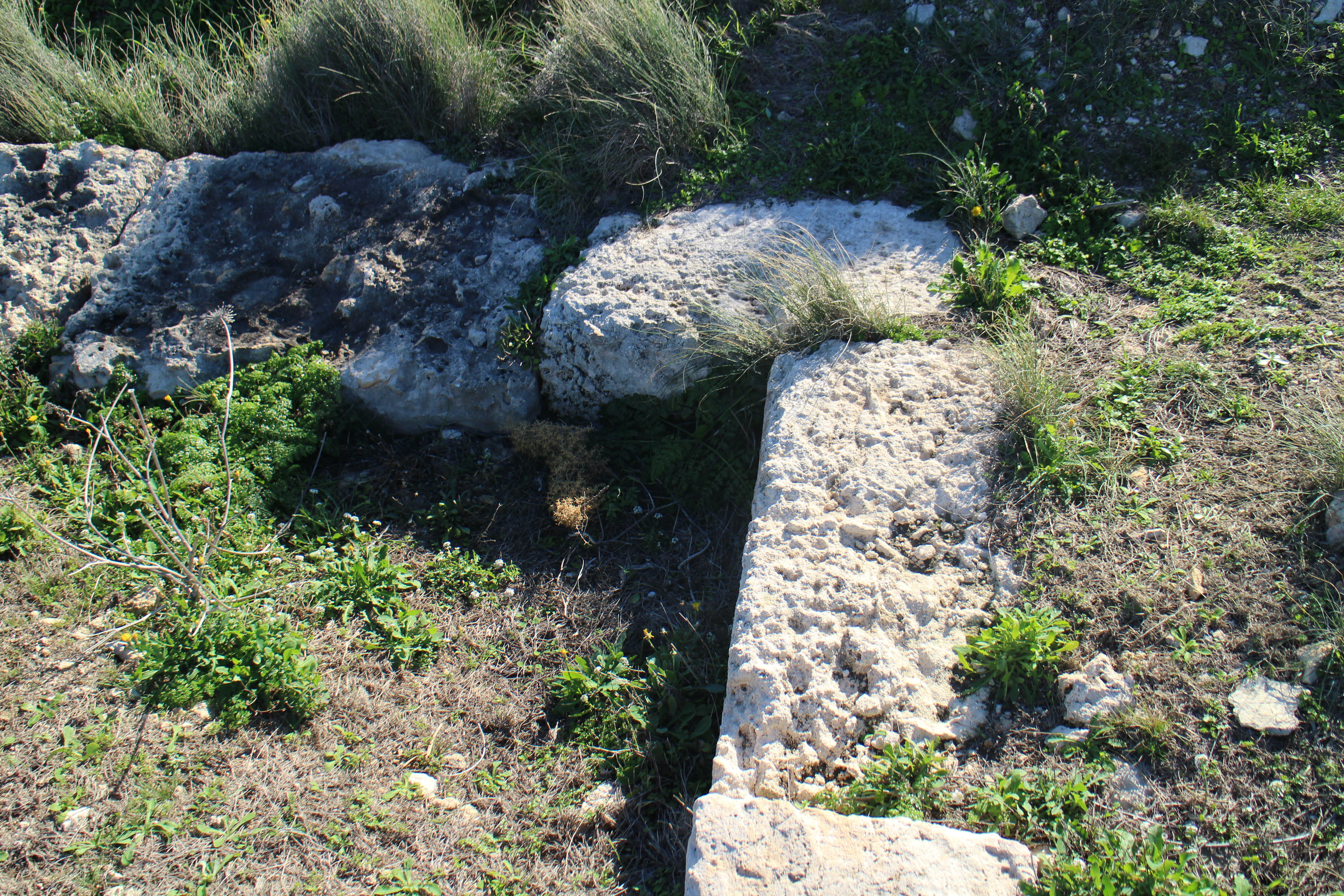
Ras ir-Raħeb is best known for the unusual archaeological situation of prehistoric megaliths incorporated into a later Punic and Roman structure, set on a dramatic cliff-top promontory with commanding sea views. Its combination of Bronze Age and Classical remains, a possible sanctuary identity, and integration of two rough stone megaliths within a courtyard-aligned building plan make it a key reference site for the reuse of prehistoric architecture in later Maltese ritual landscapes. Equally distinctive is its role as Malta's first designated marine protected area, encompassing Posidonia seagrass meadows, sandbanks, and populations of the noble pen clam along the Rdum Majjiesa to Ras ir-Raħeb coast. Together, these features give the headland a dual identity as both a cultural and an ecological landmark.
Ras ir-Raħeb history and protected-area timeline
The archaeological significance of Ras ir-Raħeb has been recognised for centuries. By the late sixteenth century, scholars were already attempting to link its visible remains with the Fanum Iunonis temple recorded by Cicero, although later Renaissance historians pushed back against this idea and described the ruins only as 'ancient factories.'
Modern investigation began in 1922, when the Maltese archaeologist Themistocles Żammit was shown the site by the landowner. Beneath a regular pavement of baked tiles, Żammit uncovered a stone door-sill and enough household pottery to suggest a sizeable settlement, urging that the place be kept in mind for further study. A second campaign followed between November 1961 and May 1962, led by a team of Royal Navy divers under Captain D. Scott and Submarine Commander P. Pugh. Despite significant erosion of the exposed masonry, the team extended research underwater to depths exceeding 60 metres and concluded that the headland had probably served as a sacred site from Neolithic times to about the fourth century AD.
In the twentieth and early twenty-first centuries, the site's history increasingly became a legal and public-access story. The Punic and Roman remains were officially scheduled in 1998, and in 2004 a group of ramblers, including archaeologists, was briefly evicted from the headland by a local hunter. Government communications clarified that the land had been expropriated in 1975 by Government Notice 498, but ownership had never been formally transferred. A 2006 ministerial declaration by Tonio Borġ confirmed that public access could not legally be blocked at such sites. A serious wildfire swept part of the coastline in 2007, and vandalism of the ancient limestone blocks was reported in 2016. That same year, five tumoli of the headland, including the archaeological remains, were put up for sale, prompting Friends of the Earth Malta to file an application requesting formal designation of Ras ir-Raħeb and six other sites as public domain.
Ras ir-Raħeb landscape and geographic character
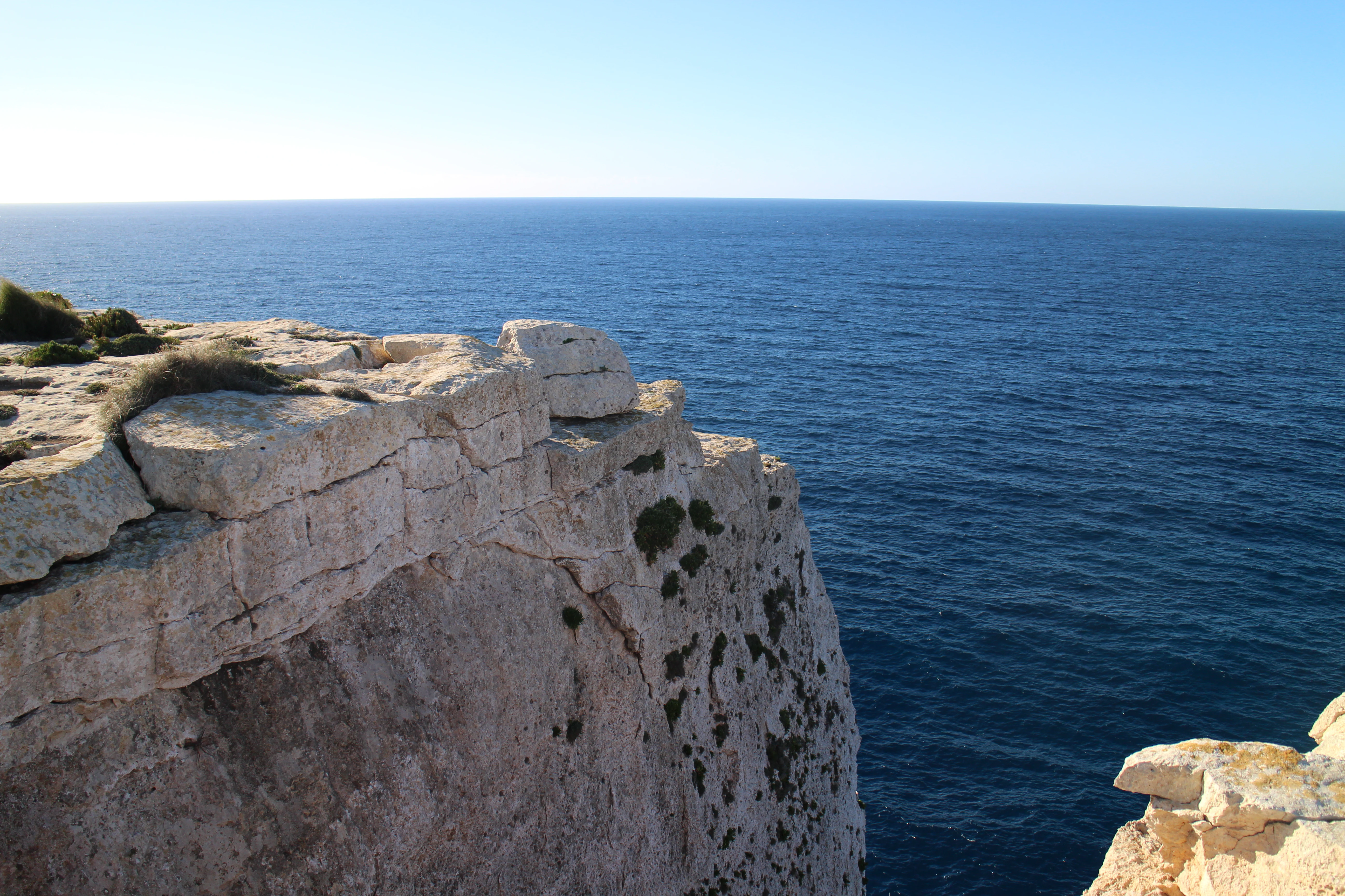
Ras ir-Raħeb is a compact limestone headland that defines the north-western corner of the broad Rabat, Dingli, and Mdina plateau. It reaches 45 metres above sea level and drops toward the sea along sheer cliffs, giving the promontory a sharp, exposed profile against the open western Mediterranean. The terrain below the summit consists of clay slopes, rocky ledges, and small inlets where sandbanks and shallow marine habitats fringe the coast.
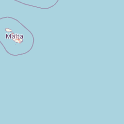
The wider coastal landscape between Rdum Majjiesa and Ras ir-Raħeb combines high cliffs with sheltered pockets of sand and underwater rock. From the headland's peak, the visual chain runs southward along the western cliffs of Malta and outward across the channel to the cliffs of Ta' Ċenġ on Gozo. The conspicuous shape of the promontory, combined with its elevation, has long made it a natural navigational marker for seafarers approaching the Maltese islands.
Ras ir-Raħeb ecosystems, habitats, and plant life
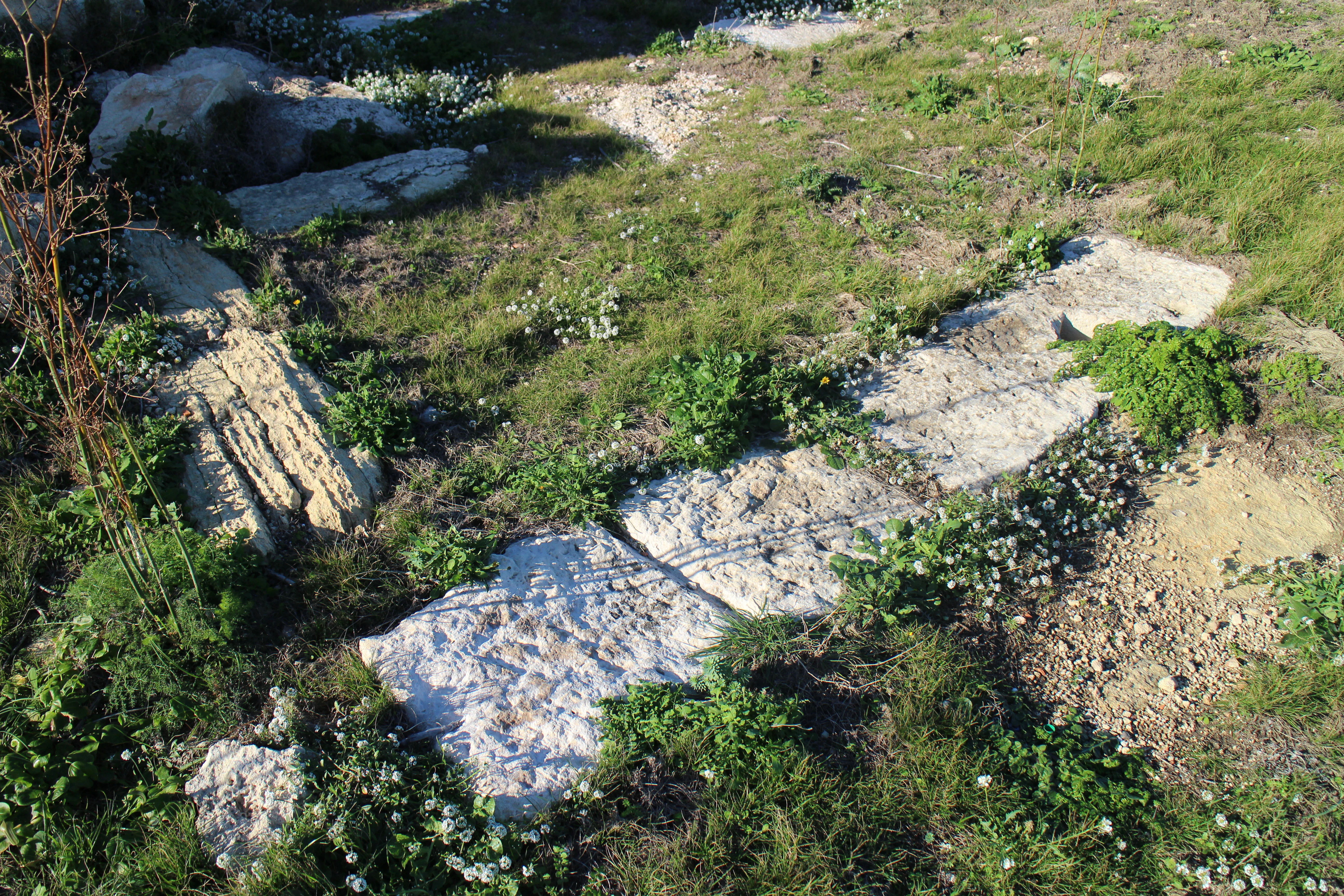
The cliffs and coastline around Ras ir-Raħeb support a distinctive blend of terrestrial and marine habitats. Inaccessibility has preserved a coastal cliff community that elsewhere on Malta has been lost to urban development, allowing native flora and fauna to survive on slopes and ledges that few people can easily reach.
Vegetation on the headland includes large stands of esparto grass on the clay slopes, alongside other Mediterranean plants typical of western Maltese cliff environments. The maritime setting broadens the ecological picture: Posidonia oceanica seagrass meadows dominate much of the nearshore seabed, forming one of the main marine habitat types present around the Maltese islands. Beyond the meadows, sandbanks in the small inlets support a rich benthic fauna that depends on the sediment and shelter provided by these shallow coastal basins.
Ras ir-Raħeb wildlife and species highlights
The relative inaccessibility of the cliffs makes Ras ir-Raħeb an important refuge for birdlife, with coastal cliff habitat now hosting much of the breeding, feeding, and wintering activity that urban development has displaced from lowland parts of the island. Seabirds and cliff-nesting species use the western cliffs of both Malta and Gozo as their principal stronghold, and the headland lies within this corridor.
Underwater, the marine protected area hosts populations of the noble pen clam within the Posidonia meadows, along with the wider community of invertebrates and fish that depend on seagrass and adjacent sandbanks. The combination of cliff-nesting birds above and sheltered benthic habitats below gives the headland a fauna that is unusually layered for such a small geographic footprint.
Ras ir-Raħeb conservation status and protection priorities
Ras ir-Raħeb holds a distinctive place in Malta's conservation history. In 2005, the coastline running from Rdum Majjiesa to Ras ir-Raħeb became Malta's first marine protected area, formalising recognition of the seagrass meadows, sandbanks, and associated fauna around the headland. The site is also part of the Natura 2000 network, anchoring its status within broader European habitat protection frameworks.
Earlier planning instruments had already flagged the coast between Rdum Majjiesa and Ras ir-Raħeb as a priority for protection, including the Structure Plan for the Maltese Islands and the UNEP, MAP Coastal Area Management Programme report for Malta. Conservation concerns have since extended to the archaeological remains themselves, with vandalism of limestone blocks reported in 2016 and recurring concerns about illegal construction and wildfire damage, including a significant coastal blaze in 2007.
Ras ir-Raħeb cultural meaning and human context
The two traditional Maltese names for Ras ir-Raħeb, Ras ir-Raħeb (Hermit's Headland) and Ras il-Knejjes (Churches' Headland), suggest that the place carried an established religious identity by the late Middle Ages. This sense of sanctity matches the archaeological record, in which prehistoric megaliths were deliberately incorporated into a later building complex that itself may have functioned as a shrine or sanctuary.
Long-standing scholarly attempts to connect the site to the Fanum Iunonis temple mentioned by Cicero, or to a possible Heracles sanctuary linked to Ptolemy's descriptions, show how the headland has been woven into wider narratives of Classical Mediterranean religion. Its reuse of megalithic foundations within a Punic and Roman building, mirrored only at Tas-Silġ in Malta, gives Ras ir-Raħeb a special meaning in the cultural history of the islands.
Top sights and standout views in Ras ir-Raħeb
Ras ir-Raħeb brings together three rarely combined qualities: a 45 metre cliff-top promontory with sweeping views toward Gozo, a multi-period archaeological site where prehistoric megaliths are embedded within a Punic and Roman complex, and a marine protected coastal zone anchored by Posidonia seagrass meadows and noble pen clam habitat.
Its status as Malta's first marine protected area, its place in the Natura 2000 network, and the ongoing debate over public ownership give the headland a contemporary significance that matches its ancient pedigree. Whether approached by divers, ramblers, or archaeologists, the site offers a layered encounter with Maltese natural and cultural heritage in a single compact landscape.
Best time to visit Ras ir-Raħeb
Ras ir-Raħeb is at its most atmospheric in the cooler months of late autumn, winter, and early spring, when the light is sharper along the western cliffs, the surrounding vegetation is most active, and cliff-nesting and wintering birds are easiest to observe without the pressures of peak summer heat. The site's western exposure also means that sunrise and late-afternoon visits reward visitors with long views along the coast and across to Gozo, conditions that suit both walkers and underwater explorers.