
Mori Atlas logo
Regional parkRegionaler Naturpark Gantrisch

Tracing the transition from glacial moraine plateaus to the rugged Gantrisch mountain range ridges.

Regionaler Naturpark Gantrisch: Mapping the Diverse Protected Landscapes of the Swiss Pre-Alps

Regionaler Naturpark Gantrisch encompasses a broad altitudinal gradient within the Canton of Bern, stretching from the gentle Längenberg and Belpberg glacial moraines in the north to the dramatic peaks of the Gantrisch chain. The area features deep forested river gorges carved by the Gürbe, Schwarzwasser, and Sense, alongside the near-pristine terrain of the Breccaschlund gorge. This protected territory serves as a vital bridge between the Swiss Plateau and the Pre-Alpine highlands.

Swiss nature parkpre-alpine landscapeglacial moraineriver gorgesregional parkmountain range
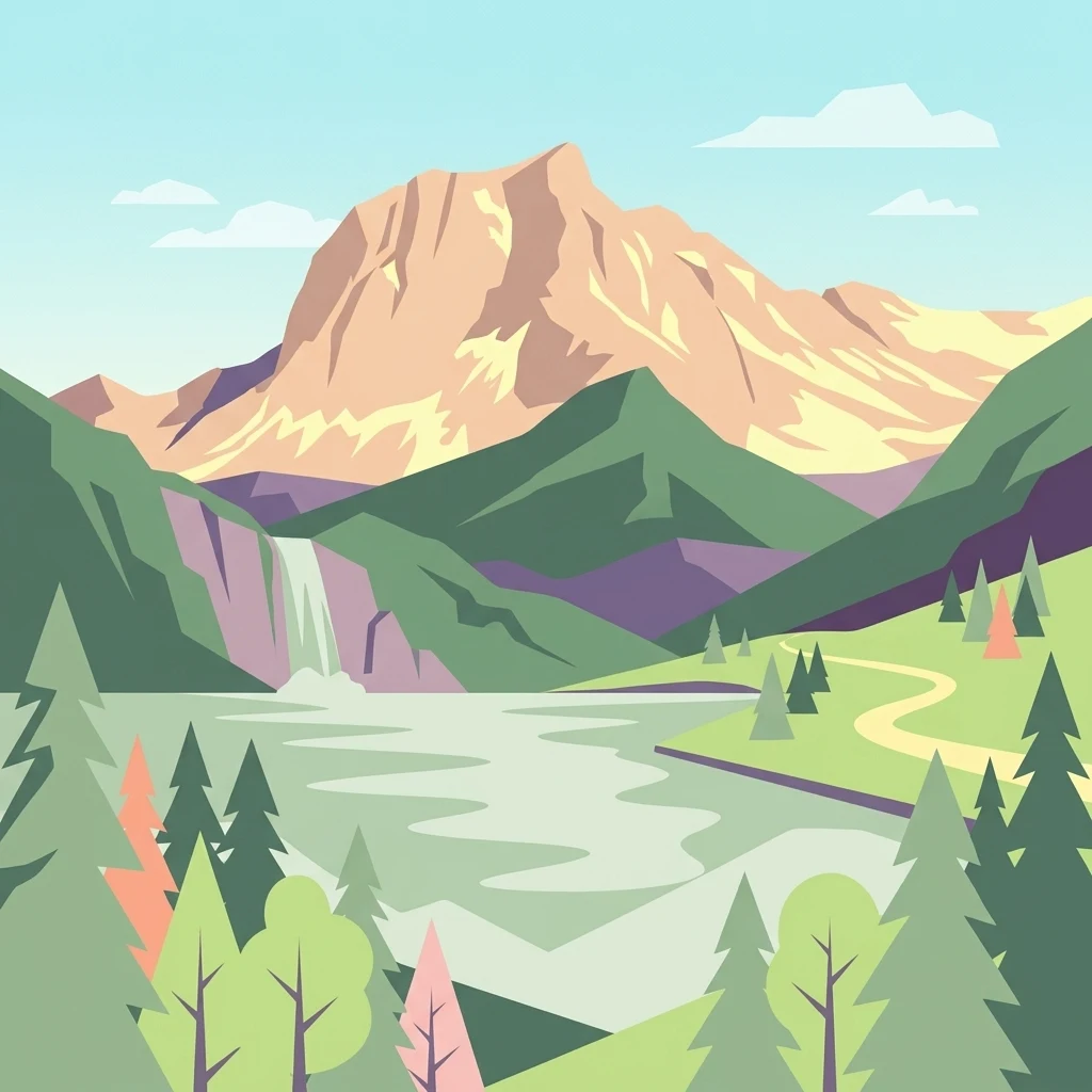
A flat-style digital illustration of a mountain range with a lake, waterfall, and surrounding coniferous forest.

Regionaler Naturpark Gantrisch

Regional park

Park overview

Structured park overview, official facts, and landscape profile for Regionaler Naturpark Gantrisch

Regionaler Naturpark Gantrisch park facts, protected area profile, and essential visitor context

Review the core facts for Regionaler Naturpark Gantrisch, including designation, size, terrain, visitor scale, habitats, and operating context in one park-focused overview.

About Regionaler Naturpark Gantrisch

The Regionaler Naturpark Gantrisch occupies a strategic position in the western Swiss Plateau, stretching from the outskirts of Bern southward into the rising Pre-Alps. It is framed by three of Switzerland's major regional centers: Bern to the north, Thun to the east, and Fribourg to the west. This position gives the park both a strong sense of regional identity and an unusually wide altitudinal range within its boundaries.

The underlying geology reflects the legacy of Pleistocene glaciation. The Längenberg, one of the park's central ridges, is a lateral moraine of the ancient Aare glacier, and the Belpberg carries similar moraine material. These landforms create gently rolling, forest-covered and agriculturally used terrain that contrasts with the steeper, more eroded country to the south. Three rivers, the Gürbe, the Schwarzwasser, and the Sense, drain the park and have cut the deep Schwarzwasser and Sense gorges that give parts of the area its wild character.

The southern boundary is dominated by the Gantrisch chain, a Pre-Alpine mountain range that marks the edge of the Swiss Plateau. Its peaks, including the Gantrisch itself and the Kaiseregg further southwest, reach high enough to support alpine vegetation and offer panoramic views across the region. At the southwestern corner of the park sit Schwarzsee lake and the Breccaschlund, often described as an untouched natural landscape, where steep rock walls and dense forest form one of the most distinctive wilderness zones in the area.

The park's identity is shaped not only by natural features but also by its cultural landscape. Across the nineteen member municipalities, including Belp, Riggisberg, Schwarzenburg, Plaffeien, and Wattenwil, the park encompasses a network of historic castles, monasteries, manor houses, and small museums. Institutions such as the Abegg-Stiftung, known for textile and embroidery collections, the Vreneli-Museum, and the Regionalmuseum Gantrisch anchor this cultural layer and connect conservation goals with regional identity and economic life.

Quick facts and research context for Regionaler Naturpark Gantrisch

Founded in 2012, the Gantrisch Nature Park is recognized as a Park of national significance in Switzerland under the country's nature and heritage protection framework. It covers around 414 km² across nineteen municipalities, eighteen in the Canton of Bern and one in the Canton of Fribourg.

The park's elevations range from roughly 510 meters near Bern-Belp Airport to about 2,239 meters at the Schafberg. Its boundaries are loosely defined by the major regional cities of Bern, Thun, and Fribourg, and the terrain spans gentle plateau slopes, forested ridges, deep river gorges, and Pre-Alpine peaks. Two federal inventory landscapes of national significance lie within the park: the Schwarzenburgerland with the Sense and Schwarzwasser gorges, and the Breccaschlund wilderness.

Protection and recognition

Examine terrestrial protection details and official designation records for Regionaler Naturpark Gantrisch.

Regionaler Naturpark Gantrisch Protection Status and Recognition Data

Terrestrial protection status and designation records for Regionaler Naturpark Gantrisch remain documented within structured conservation datasets. Management scope and international recognition facts provide clear context for ongoing preservation efforts across the landscape.

Protection details

Protection scope
Terrestrial
Transboundary protection
No
Park context

Deeper park guide and search-rich context for Regionaler Naturpark Gantrisch

Regionaler Naturpark Gantrisch history, landscape, wildlife, and travel context

Explore Regionaler Naturpark Gantrisch through its history, landscape character, ecosystems, wildlife, conservation priorities, cultural context, and seasonal travel timing in a structured park guide built for atlas discovery and search intent.

Why Regionaler Naturpark Gantrisch stands out

Gantrisch is best known for combining a wide spectrum of Swiss landscapes in a single protected area, from rolling plateau hills and glacial moraines to forested gorges and Pre-Alpine ridges. The Gantrisch range itself, which gives the park its name, forms a defining southern skyline and supplies the headwaters of the Gürbe. The park is also recognized for the dramatic Breccaschlund gorge and the Schwarzsee lake area in the southwest, as well as the deep gorges of the Sense and Schwarzwasser rivers in the Schwarzenburgerland. These contrasting environments, ranging from lowland agricultural country to rugged Pre-Alpine terrain, give Gantrisch a layered character unusual for a regional nature park so close to major Swiss cities.
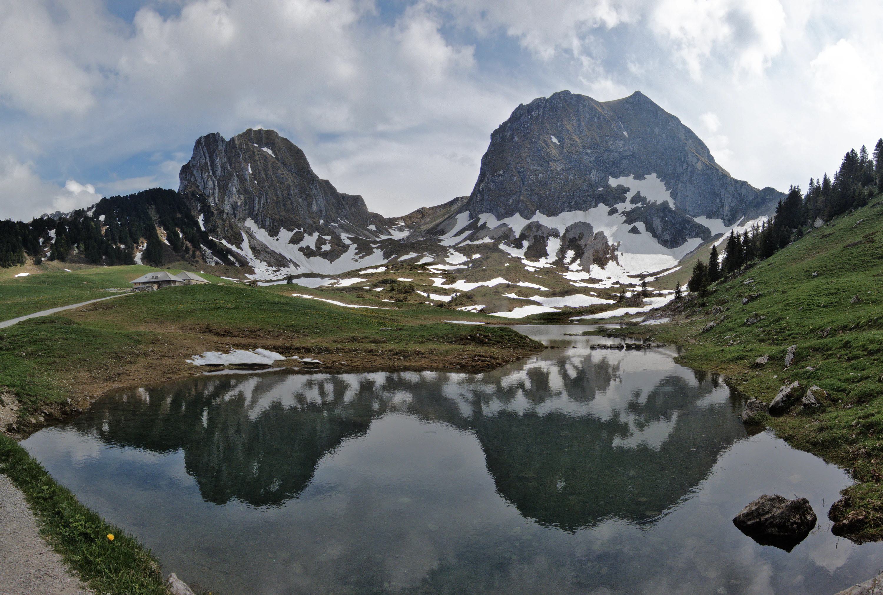
A wide angle view of the rugged Nüneneflue and Gantrisch mountain peaks partially covered in snow, reflected in a still alpine lake in the foreground.
The Nüneneflue and Gantrisch peaks reflected in a mountain lake.

Regionaler Naturpark Gantrisch history and protected-area timeline

The Regionaler Naturpark Gantrisch was formally founded in 2012 as part of Switzerland's program of parks of national significance. It builds on a long history of regional identity in the area between Bern, Thun, and Fribourg, where communities have historically shared agricultural land, river valleys, and mountain pastures. The park's creation reflects the federal framework for nature and homeland protection, particularly the federal inventory of landscapes and natural monuments of national significance, two of which fall within its boundaries.

Two of these federally inventoried landscapes shape the park's conservation status: the Schwarzenburgerland with the Sense and Schwarzwasser gorges (inventory entry 1320) and the Breccaschlund (inventory entry 1514). Their inclusion gave the area a strong justification for formal protection and contributed to the political momentum behind founding the park.

The cooperation across nineteen municipalities is central to the park's history. By uniting communities from two cantons, Bern and Fribourg, the Gantrisch park became an early example of cross-cantonal nature park governance in Switzerland. Over time, the park has expanded its role beyond landscape conservation into regional development, supporting local agriculture, sustainable tourism, and the preservation of cultural heritage in villages like Schwarzenburg and Riggisberg.

Regionaler Naturpark Gantrisch landscape and geographic character

The landscape of the Gantrisch Nature Park is defined by a clear altitudinal gradient that moves from gentle plateau country in the north to rugged Pre-Alpine terrain in the south. At the northern edge, elevations near 510 meters, around Bern-Belp Airport, give way to undulating ridges such as the Belpberg and the Längenberg. Both of these landforms are lateral moraines of the former Aare glacier and carry the soft, rounded character typical of glacially deposited terrain, with mixed woodland, meadows, and farmland.

Toward the south, the land becomes visibly steeper. The Gantrisch mountain chain rises as a near-continuous ridge and marks the park's southern boundary. The Gürbe originates on these slopes and carves downward, joined in its descent by the Schwarzwasser and the Sense. These three rivers have created a network of gorges and forested valleys that cross the heart of the park, particularly the Schwarzwasser and Sense gorges, which are recognized as federal landscape monuments within the Schwarzenburgerland.

In the southwest, the landscape shifts again with the Schwarzsee lake and, beyond it, the Breccaschlund. The Breccaschlund is one of the park's most distinctive features: a steep, forested gorge regarded as an almost untouched natural landscape. Across the area, smaller lakes such as the Gerzensee and the Dittligsee add quieter water features to the broader scenery, while peaks like the Gantrisch and the Kaiseregg provide the high points that anchor the visual identity of the park.
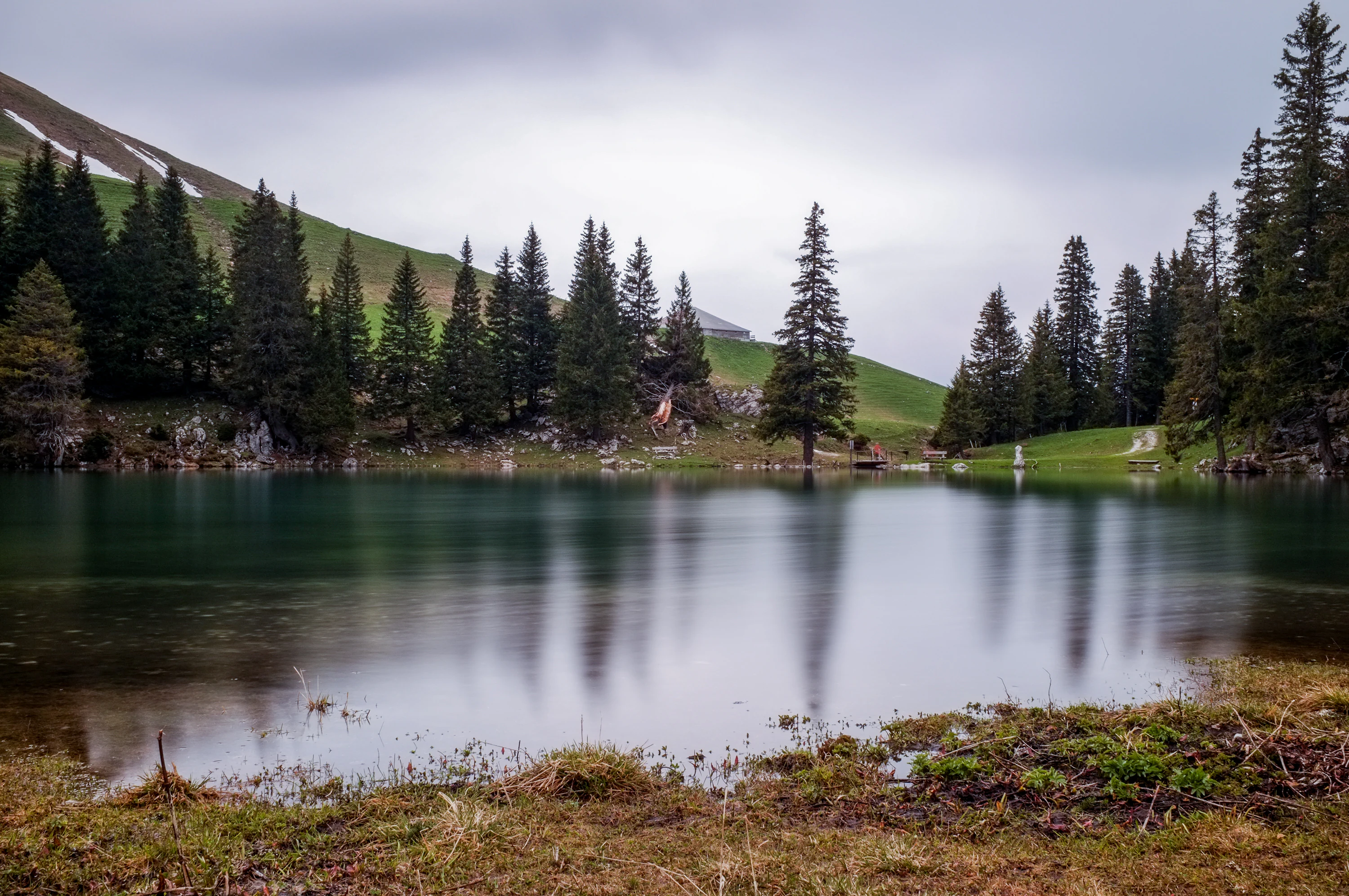
A still mountain lake reflects a line of evergreen trees and a grassy hillside under a cloudy sky.
The Gantrischseeli, a small mountain lake surrounded by pine forest in the Gantrisch region.

Regionaler Naturpark Gantrisch ecosystems, habitats, and plant life

Gantrisch's ecological character reflects its geographic transition from the lower Swiss Plateau to the Pre-Alps. The lower elevations support a typical mix of mixed deciduous and coniferous forest, agricultural land, and small wetland features, while the higher slopes around the Gantrisch range transition toward subalpine woodland, alpine pastures, and rocky summit terrain. The altitudinal span of more than 1,700 meters within a single park gives it strong habitat diversity despite its regional rather than national scope.

The river corridors of the Gürbe, the Schwarzwasser, and the Sense are ecologically central. Their gorges, especially the Sense and Schwarzwasser gorges within the federally inventoried Schwarzenburgerland, preserve relatively undisturbed forest cover and shoreline habitat that have been shaped by water rather than settlement. The Breccaschlund in the southwest represents a different ecological regime: a steep, rocky gorge with little human intervention and a high degree of naturalness. Lakes such as the Gerzensee, Dittligsee, and Schwarzsee add freshwater habitat types and contribute to the range of ecological conditions the park conserves.
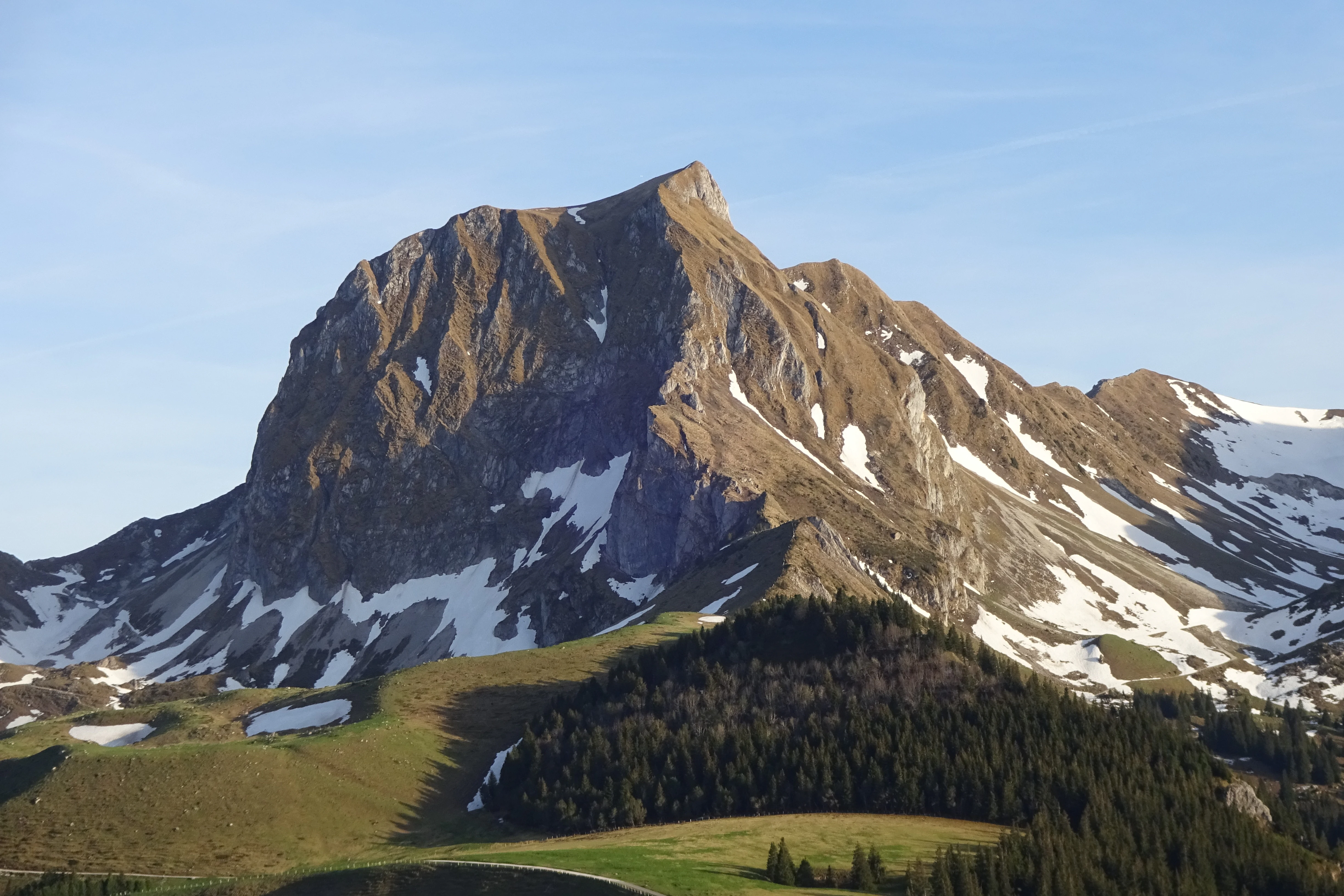
A clear, sunny view of the rocky Gantrisch mountain peak with patches of snow on its slopes, rising above a pine forest and alpine meadow.
The prominent Gantrisch mountain peak viewed from the north.

Regionaler Naturpark Gantrisch wildlife and species highlights

Wildlife in the Gantrisch Nature Park is shaped by the same altitudinal and habitat diversity that defines the park as a whole. The mountain forests of the Gantrisch chain and the gorge forests of the Sense and Schwarzwasser provide habitat for typical Swiss forest species, while the edges between woodland, pasture, and settlement in the lower parts of the park create additional niches for smaller mammals and birds. Aquatic species depend on the river corridors and on the park's lakes, including the Gerzensee, Dittligsee, and Schwarzsee.
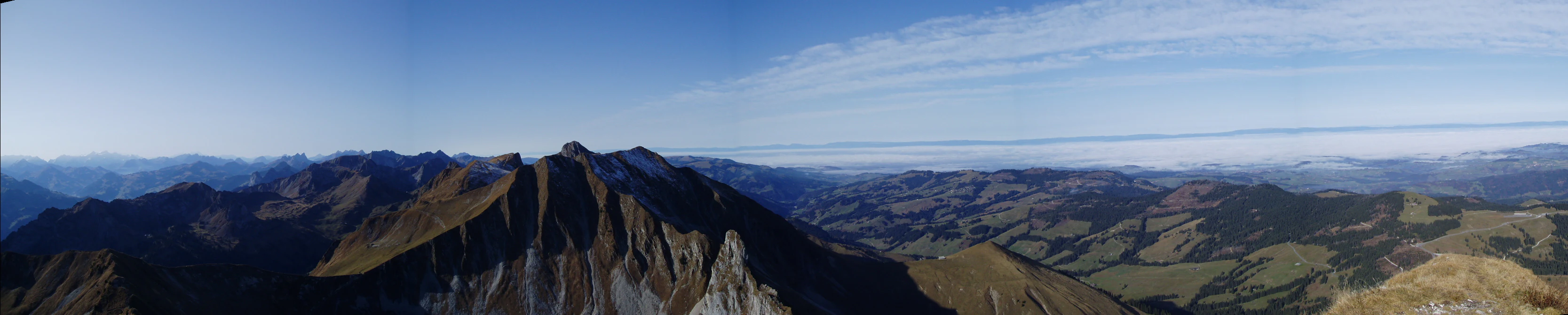
A wide panoramic mountain landscape under a clear blue sky, showing rugged ridgelines and rolling alpine terrain.
Panoramic view from the summit of Gantrisch, capturing the Swiss mountain range and surrounding valleys.

Regionaler Naturpark Gantrisch conservation status and protection priorities

The Gantrisch Nature Park sits inside a coherent conservation framework grounded in Swiss federal law. Its territory includes two areas recognized under the federal inventory of landscapes and natural monuments of national significance: the Schwarzenburgerland with the Sense and Schwarzwasser gorges (inventory number 1320) and the Breccaschlund (inventory number 1514). These designations give the site's conservation status a firm legal anchor rather than relying solely on the park designation itself.

As a regional park of national significance, Gantrisch combines habitat and landscape conservation with regional development goals. Its work includes promoting sustainable land use across farmland and forest, supporting traditional farming in the more marginal upper valleys, coordinating conservation across nineteen municipalities in two cantons, and helping maintain the visual and ecological integrity of its most sensitive areas, particularly the Breccaschlund and the deep river gorges of the Schwarzenburgerland.

Regionaler Naturpark Gantrisch cultural meaning and human context

The cultural landscape of the Gantrisch area reflects centuries of rural settlement in a transition zone between plateau and Pre-Alps. The region's castles, monasteries, and manor houses, such as Schloss Schwarzenburg, the Grasburg, the Kloster Rüeggisberg, and the castles around Gerzensee, illustrate the area's medieval and early modern history, when routes between Bern, Thun, and Fribourg passed through these valleys.

Traditional crafts and rural heritage remain visible in the park's museums and cultural institutions. The Abegg-Stiftung holds important textile and embroidery collections associated with the region's history of home-based craft production. The Vreneli-Museum and the Regionalmuseum Gantrisch preserve regional memory, including the cultural figure of Vreneli, a popular Bernese folk character. Across the nineteen member municipalities, local festivals, agricultural traditions, and village architecture continue to shape the daily identity of the park.

Top sights and standout views in Regionaler Naturpark Gantrisch

The Gantrisch Nature Park's standout qualities include the dramatic contrast between soft glacial moraine country in the north and the steep Gantrisch ridge in the south, the deep Sense and Schwarzwasser gorges of the Schwarzenburgerland, and the near-pristine Breccaschlund wilderness in the southwest. Its three main rivers, Gürbe, Schwarzwasser, and Sense, anchor the park's hydrology and shape much of its scenery.

Cultural landmarks such as the Abegg-Stiftung, the Kloster Rüeggisberg, Schloss Schwarzenburg, and the castles around Gerzensee add a strong historical dimension. The combination of historic castles, textile heritage, traditional farming villages, and panoramic Pre-Alpine viewpoints makes the park distinctive within Switzerland's portfolio of regional nature parks.

Best time to visit Regionaler Naturpark Gantrisch

Because Gantrisch spans both lowland and Pre-Alpine elevations, the character of a visit changes meaningfully with the seasons. Spring and early summer bring fresh greenery to the forests and clear views from the lower viewpoints, with rising temperatures making the higher trails progressively accessible. Midsummer is traditionally the most flexible period for combining valley-level visits around castles and museums with higher excursions toward the Gantrisch range and the Schwarzsee area.

Autumn tends to be a particularly rich time for landscape atmosphere, with visible color change in the mixed forests and clearer conditions over the ridgelines. In winter, the higher parts of the park, especially around the Schwarzsee region, can take on an alpine character with snow, while the lower valleys remain more accessible. Any season can anchor a different kind of visit: cultural and lower-elevation routes in cooler months, and broader landscape and high-point experiences in the warmer half of the year.

Monthly climate preview

Long-term representative measurements of monthly temperature and precipitation patterns

Regionaler Naturpark Gantrisch Climate Normals and Temperature Rhythms

Representative coordinate records show average temperatures ranging from negative values in winter to warm summer maximums alongside consistent monthly precipitation. Detailed twelve-month climate normals provide a complete analytical profile of annual temperature ranges and precipitation totals for Regionaler Naturpark Gantrisch.
Annual mean8 °C
-1 °C18 °C
Jan-1°
Feb
Mar
Apr
May12°
Jun16°
Jul18°
Aug18°
Sep13°
Oct
Nov
Dec
Warmest month
July

17.8 °C

Coolest month
January

-0.8 °C

Wettest month
May

4 mm/day

Driest month
February

2.3 mm/day

Park location guide

Geography guide, regional context, and park location map for Regionaler Naturpark Gantrisch

Regionaler Naturpark Gantrisch park geography, regions, and map view in Switzerland

Understand where Regionaler Naturpark Gantrisch sits in Switzerland through a broader geographic reading of the surrounding landscape, nearby location context, and its mapped position within the national park landscape.

How Regionaler Naturpark Gantrisch fits into Switzerland

Switzerland is a landlocked federal republic in Central Europe comprising 26 cantons, with Bern as the federal city and Zurich as the largest city. The country features the Swiss Alps, Swiss Plateau, and Jura Mountains, with German, French, Italian, and Romansh as official languages. It is noted for its political neutrality, direct democracy traditions, and strong economy.

Wider geography shaping Regionaler Naturpark Gantrisch in Switzerland

Switzerland is located in Central Europe at the intersection of Western and Southern Europe. It is bordered by Germany to the north, France to the west, Austria and Liechtenstein to the east, and Italy to the south. The country is geographically divided among the Swiss Alps (covering most of the territory), the Swiss Plateau (where most of the population resides), and the Jura Mountains. Switzerland is landlocked.

Map view of Regionaler Naturpark Gantrisch

Use this park location map to pinpoint Regionaler Naturpark Gantrisch in Switzerland, understand its exact geographic position, and read its mapped placement within the surrounding landscape more clearly.

Pigeon | © OpenStreetMap contributors

Location context for Regionaler Naturpark Gantrisch

Canton of Bern

Examine protected area scenery, river gorges, and Pre-Alpine terrain characteristics

Visual Exploration and Photography of Regionaler Naturpark Gantrisch Landscapes

Visual records capture the distinctive altitudinal gradient of Regionaler Naturpark Gantrisch, moving from rolling northern glacial moraines to rugged southern mountain ridges. Protected area photography reveals deep river gorges, forested valleys, and remote wilderness features that define the regional park environment.

A wide angle view of the rugged Nüneneflue and Gantrisch mountain peaks partially covered in snow, reflected in a still alpine lake in the foreground.

A wide, scenic view of a jagged, green mountain range under a blue sky with scattered white clouds.

A still mountain lake reflects a line of evergreen trees and a grassy hillside under a cloudy sky.

A clear, sunny view of the rocky Gantrisch mountain peak with patches of snow on its slopes, rising above a pine forest and alpine meadow.

A wide panoramic mountain landscape under a clear blue sky, showing rugged ridgelines and rolling alpine terrain.

Park atlas

Compare surrounding Pre-Alpine landscapes and connected regional reserves

Other Parks Like Regionaler Naturpark Gantrisch and Protected Areas Nearby

Browsing other protected areas near Regionaler Naturpark Gantrisch reveals a diverse network of neighbouring Swiss reserves and river valleys. Expanding the geographic scope allows researchers to compare glacial moraine terrain and mountain ranges across adjacent cantons.
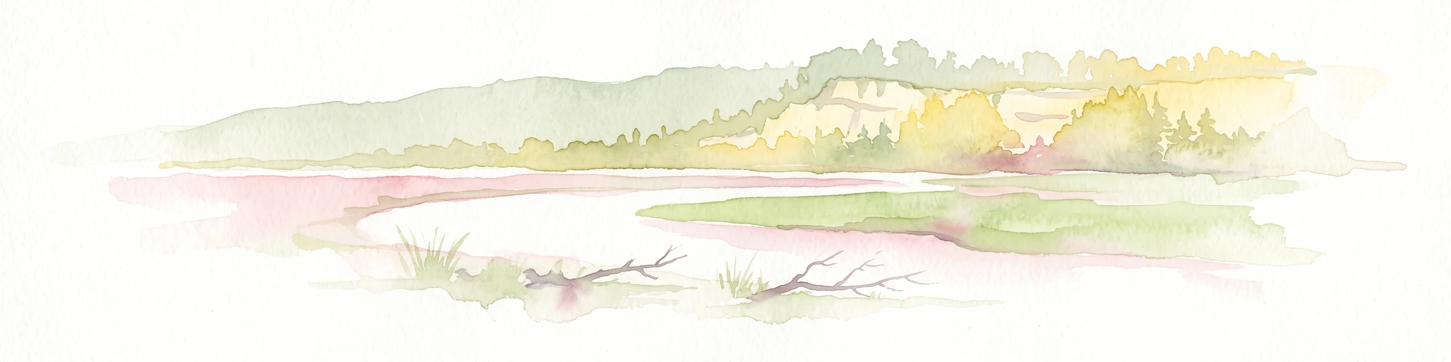
A soft watercolor painting of a river flowing through a green landscape with rolling hills and trees in the distance.
Protected landscapeKanton Bern
About 15 km away#1 closest

East

Aarelandschaft zwischen Thun und Bern: Protected Landscape and River Corridor Geography

Mapping the floodplain remnants of the Aare river corridor

The Aarelandschaft zwischen Thun und Bern protects a unique corridor of riparian forest, wet meadows, and springs along the Aare river. Situated in the Kanton Bern, this landscape retains evidence of historic river engineering alongside ongoing restoration programs that reconnect vital lowland ecosystems. It stands as a significant natural corridor in a densely populated region, marked by its molasse hills and varied alluvial topography.

Area
10.4 km²
Established
1983
Relief
Lowland
Climate
Temperate
A watercolor illustration of a river landscape with a gentle bend, shoreline greenery, and distant low hills, rendered with soft, faded edges.
Protected landscapeCanton of Bern
About 22 km away#2 closest

Northwest

Stausee Niederried Protected Landscape: A Geographic Map and Atlas of Swiss Floodplains

Mapped alluvial terrain and sandstone cliffs in the Canton of Bern.

Stausee Niederried functions as a vital protected landscape, blending a historic hydroelectric reservoir with a four-kilometer riverine floodplain. The area is characterized by high geomorphic contrast, ranging from the vast Runtigenfluh molasse cliff to critical riparian marshes and orchid-rich pine forests. This entry provides a structured look at the park boundaries, geological features, and the wider fluvial mosaic found near the confluence of the Aare and the Saane.

Area
2.97 km²
Established
1991
IUCN
V
Relief
Mixed relief
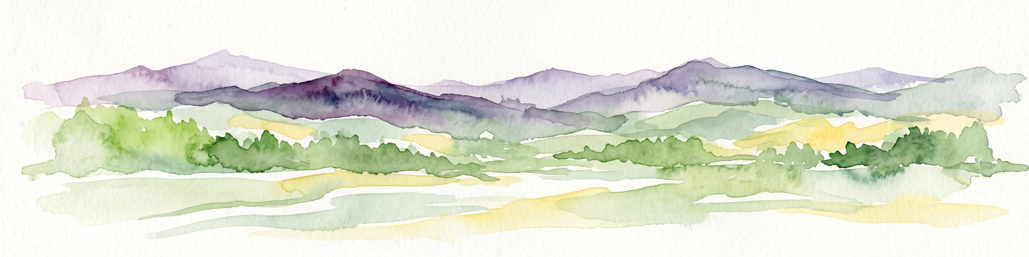
A watercolor painting showing a panoramic view of layered rolling hills and mountains in purple, green, and yellow hues against a white background.
Protected landscapeSwitzerland
About 22 km away#3 closest

Southeast

Diemtigtal: Protected Alpine Landscape in the Bernese Oberland, Switzerland

Mapped valley geography and mountain terrain context

Explore the structured geography of Diemtigtal, a regional nature park in the Bernese Oberland. This valley landscape is defined by its enclosed U-shaped topography, the Niesenkette skyline, and a network of traditional settlements nested between mountain ridges and alpine streams. Gain insight into the protected boundaries and the distinctive terrain of this Swiss Alpine region.

Established
2009
Relief
Mountain
Climate
Alpine
Scope
Terrestrial
A horizontal watercolor illustration depicting rolling green hills, a winding lake shore, and distant mountains in a soft, muted palette.
Protected landscapeCanton of Bern
About 38 km away#4 closest

Northwest

Linkes Bielerseeufer Protected Landscape: Map and Regional Geography in Canton of Bern

Protected Jura lakeshore and vineyard terrain

Investigate the precise boundaries and varied micro-landscape of Linkes Bielerseeufer. This protected area showcases a dramatic rise from Lake Biel into the Jura range, encompassing karst topography, historic dry-stone terraces, and diverse forest ecosystems within the Canton of Bern.

Area
7.079 km²
Relief
Mountain
Climate
Temperate
Access
Easy access
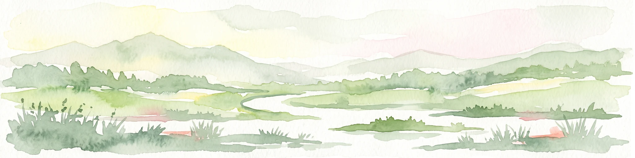
A soft watercolor painting of rolling hills and distant mountains in light green and muted tones.
Biosphere reserveLucerne
About 38 km away#5 closest

East

Entlebuch Biosphere Reserve: Mapped Protected Landscapes in the Canton of Lucerne

Exploring karst formations and alpine wetland ecosystems

Entlebuch stands as a pioneering example of community-driven conservation in the Swiss Alps. This protected landscape encompasses extensive peatlands, forested slopes, and the iconic Schrattenfluh karst massif. Use this geographic entry to understand the regional topography and the spatial distribution of protected habitats throughout this central Swiss valley.

Area
397 km²
Established
2001
Relief
Mountain
Climate
Alpine
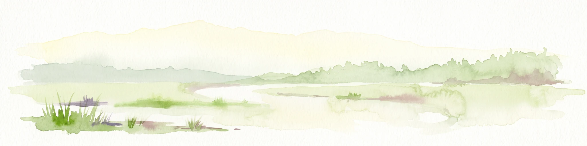
A soft watercolor painting depicting a calm river winding through a green, hazy floodplain environment.
Nature reserveSolothurn
About 44 km away#6 closest

North

Naturschutzgebiet Aare bei Altreu: Protecting Aare Valley Floodplains and Alluvial Forest

Riverine meander habitat in the Solothurn canton landscape.

Naturschutzgebiet Aare bei Altreu serves as a vital refuge for floodplain flora and fauna, standing out for its intact meander loops and silver willow gallery forests. Located in the Solothurn region, this protected area preserves a rare stretch of the Aare river ecosystem that contrasts sharply with adjacent canalized banks. Studying its terrain reveals the importance of alluvial corridors in maintaining wetland connectivity within the Swiss Mittelland.

Area
0.205 km²
Established
1992
IUCN
IV
Relief
Lowland
A pale, abstract watercolor painting showing rolling green hills and distant mountain ridgelines on a white background.
Nature reserveCanton of Bern
About 47 km away#7 closest

Northwest

Combe Grède Nature Reserve: Geological Gorge and Protected Mountain Landscape in Bern

Folded Jura limestone terrain and biodiversity hotspots.

The Combe Grède nature reserve presents a striking half-cluse gorge carved into Cretaceous limestone. This protected area within the Canton of Bern showcases an instructive geological sequence, ancient pine stands, and diverse mountain habitats that span from shaded cliffs to alpine pastures.

Area
12 km²
Established
1932
Relief
Mountain
Climate
Temperate
Nature reserveKanton Luzern
About 47 km away#8 closest

East

Naturschutzgebiet Laubersmad - Salwidili: Exploring a Vast Swiss Moorland and Alpine Reserve

A critical moorland complex in the heart of Kanton Luzern

Spanning over 1,300 hectares, this protected nature reserve in Kanton Luzern constitutes the largest contiguous moorland landscape in Switzerland. The area is defined by a unique geological flysch trough that supports a rich diversity of peatland types, including raised bogs and fens, alongside spruce forest and alpine pasture. As an IUCN Category IV area, it provides essential habitat for endangered mire flora and high-altitude wildlife in a remarkably intact hydrological setting.

Area
13.76 km²
IUCN
IV
Relief
Mountain
Scope
Terrestrial

Common questions about visiting, size, designation, and location context for Regionaler Naturpark Gantrisch

Regionaler Naturpark Gantrisch FAQs for park facts, access, geography, and protected area context

Find quick answers about Regionaler Naturpark Gantrisch, including protected-area facts, park geography, trail and visitor context, and how the park fits into its surrounding country and regional landscape.
MoriAtlas Explorer

Continue Your Protected Areas Search Across the Global Atlas

Deepen your exploration by continuing the structured search for national parks and protected areas worldwide. Utilize the comprehensive filtering capabilities to compare different conservation landscapes and refine your understanding of global park geography. Discover more about the distribution and characteristics of protected natural areas.

Global natural geography