
Rivers
Park geography
Examining terrain, hydrological features, and coastal landscape distribution
Geographic Profile and Mapped Boundaries of Reserva ecológica Manglares Churute
Reserva ecológica Manglares Churute spans 471.74 square kilometers within Guayas Province, Ecuador. The terrain encompasses a diverse range of elevations from sea level to 1000 meters, featuring a complex mix of coastal wetlands, tropical forests, and inland river systems like Estero Trapiche and Río Ruidoso.
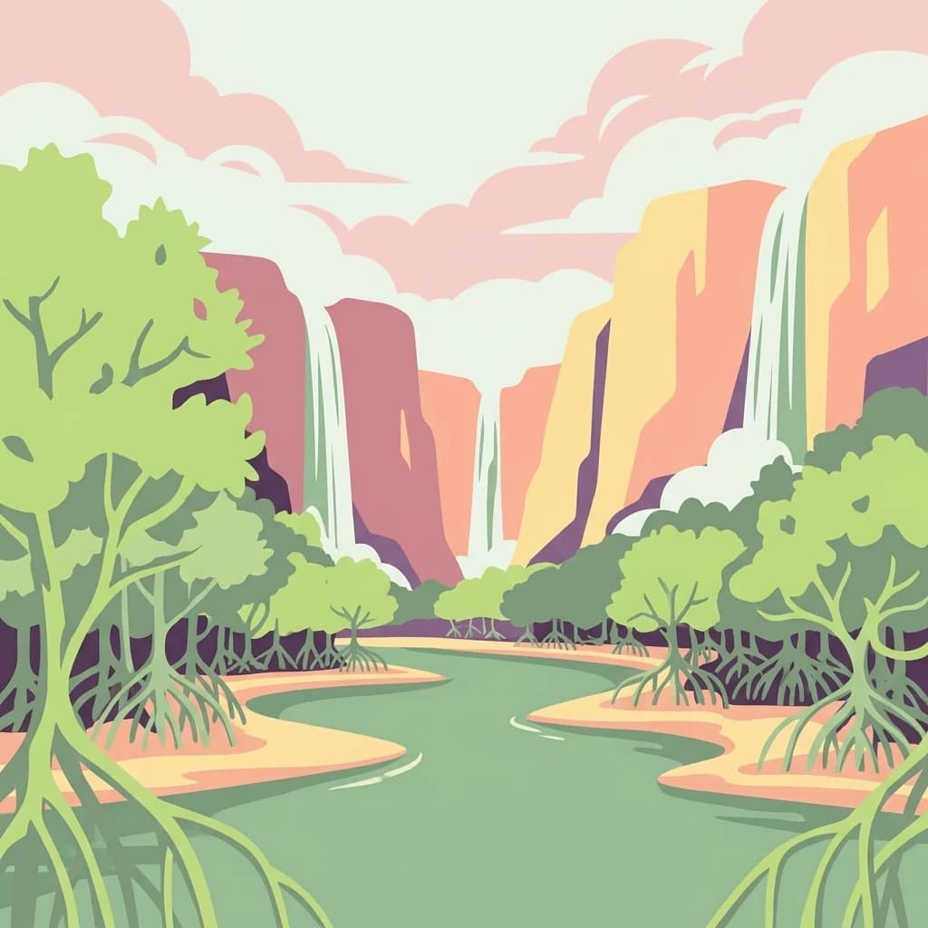
A coastal Ecuadorian reserve where mangrove forests, dry forests, and humid cloud-forest hills converge near the Gulf of Guayaquil.
Manglares Churute Ecological Reserve
Manglares Churute Ecological Reserve is a protected natural area located in southeastern Guayas Province, Ecuador, between the cantons of Naranjal and Guayaquil. It stretches along the inner estuary of the Gulf of Guayaquil, where saltwater from the Pacific meets freshwater carried by rivers such as the Taura, Churute, Cañar, and Naranjal. The reserve protects a rare combination of ecosystems: extensive mangrove swamps, dry lowland forests on the lower hills, and humid cloud- or fog-forest vegetation on the higher cerros of the Churute range. The reserve's biodiversity reflects this ecological mixing. It contains one of the last large remnants of mangrove forest along the Gulf of Guayaquil, freshwater lagoons such as El Canclón, and forested hills like Cerro Masvale that rise enough to catch persistent fog. The combination of estuarine waters, mangrove channels, forested hills, and seasonal wetlands gives the park a layered character unusual among Ecuador's protected areas. Manglares Churute has national and international recognition. It is part of Ecuador's National System of Protected Areas, a designated Ramsar wetland site, and an Important Bird Area. It is valued not only for its scenic estuary landscapes but also for its role in protecting endemic Tumbesian species, migratory shorebirds, and the country's most important population of the threatened horned screamer (Anhima cornuta).
- Location
- Ecuador
- Park type
- Nature reserve
- Established
- 1979
- Area
- 471.7 km²
- Highest point
- 1,000 m
Location overview
Guayas Province location memberships and coastal status
Geographic Overview of Reserva ecológica Manglares Churute in Ecuador
Reserva ecológica Manglares Churute sits within Ecuador and the surrounding Guayas Province. Recorded regional memberships and coastal indicators define the administrative geography of this protected area.
- Countries
- Ecuador
- Regions
- Guayas Province
- Primary location
- Guayas Province
- Geographic setting
- Coastal · Marine
Boundary and coordinates
Interactive protected area geometry and derived spatial measurements
Reserva ecológica Manglares Churute Boundary Map and Geographic Extent
Mapped boundary outlines provide spatial context for the protected area geographic footprint. Accompanying metrics detail total surface area, coordinate limits, and regional span dimensions.
- Boundary area
- 504.2 km²
- Boundary perimeter
- 156.1 km
- Northernmost point
- 2.335° S
- Southernmost point
- 2.6451° S
- Easternmost point
- 79.5537° W
- Westernmost point
- 79.8418° W
- Geographic centre
- 2.493° S, 79.7309° W
- North–south span
- 34.3 km
- East–west span
- 32 km
Elevation and terrain
Mixed relief profiles, rivers, and ponds spanning protected elevations.
Reserva ecológica Manglares Churute Terrain and Elevation Profile
Elevation summary records terrain measurements from sea level up to one thousand meters across mixed relief zones. Linked natural feature records detail specific river and pond formations located entirely within protected boundaries.
Elevation span
1,000 m
Vertical extent from the lowest to the highest recorded elevation in the park
- Minimum elevation
- 0 m
- Maximum elevation
- 1,000 m
- Highest point
- 1,000 m
Selected named natural features
Ponds
PSC128
Ponds
PSC73
Ponds
PSC125
Ponds
PSC6
Rivers
Estero de Churutillo
Environmental setting
Analyzed tropical climate zones, dominant water systems, and forest cover classifications.
Reserva ecológica Manglares Churute Environmental Setting and Terrain Classifications
Recorded landscape features and habitat types frame the physical setting through broad interpretive categories. Connected classifications link recorded environmental data directly to relevant atlas destinations.
- Relief
- Mixed relief
- Climate
- Tropical
- Water
- Water-dominated
- Forest cover
- Mostly forested
- Seasonality
- Seasonal
Landscape features
Coast · Forest · Hills · Islands · Lakes · Rivers · Wetland
Habitat types
Tropical forest · Mediterranean forest · Wetland · Coastal habitat · Riverine habitat · Lacustrine habitat
Park atlas
Compare adjacent coastal ecosystems, estuarine wetlands, and forested hills in the surrounding region.
Parks Near Reserva ecológica Manglares Churute and Regional Protected Areas
Browsing other protected areas near Reserva ecológica Manglares Churute allows travelers to compare estuarine wetlands, mangrove swamps, and coastal hill forests across the region. Extending the geographic scope helps connect individual reserves with broader coastal conservation landscapes.
Wildlife reserveGuayas
About 17 km away#1 closest
Northwest

Reserva de producción de fauna Manglares El Salado: Coastal Geography and Protected Lands
A mangrove-dominated wildlife reserve in Guayas, Ecuador.
Analyze the protected landscape of Reserva de producción de fauna Manglares El Salado, which spans extensive mangrove forests and estuarine waters within the Guayas province. This wildlife reserve showcases a unique transition between intertidal mangrove zones, salt flats, and remnants of tropical dry forest, providing essential habitat context for the Gulf of Guayaquil coastal region.
- Area
- 53.09 km²
- Established
- 2002
- IUCN
- VI
- Relief
- Lowland

Nature reserveGuayas
About 27 km away#2 closest
Northwest
Bosque Protector La Prosperina Nature Reserve and Coastal Ecuador Forest Geography
Protected dry forest habitat and regional geographic terrain
Bosque Protector La Prosperina represents a critical survival of Ecuador's equatorial dry forest within the Guayas province. This nature reserve offers deep insight into seasonal ravine networks, drought-adapted vegetation, and the structural dynamics of fragmented coastal landscapes near Guayaquil.
- Area
- 2.424 km²
- Established
- 1994
- Relief
- Upland
- Climate
- Tropical

Protected areaGuayas
About 28 km away#3 closest
Northwest
Bosque Protector Cerro Blanco: Protected Area and Tropical Dry Forest Geography in Guayas
Mapped terrain of the Chongon-Colonche mountain range
Bosque Protector Cerro Blanco functions as a major conservation site in coastal Ecuador, protecting rare Tumbesian forest ecosystems within the Guayas province. The reserve features diverse topography of ridges and valleys, serving as a critical buffer for regional endemic species and offering a unique look at seasonally dry forest landscapes near Guayaquil.
- Area
- 60.78 km²
- Established
- 1992
- Visitors
- 12K annual
- Relief
- Upland
Wildlife reserveGuayas
34 km away#4 closest
West
Refugio de Vida Silvestre Manglares El Morro: Protected Coastal Landscape and Map
A strategic marine and mangrove ecosystem in the Guayas Province
The landscape of Refugio de Vida Silvestre Manglares El Morro consists of continuous mangrove forests and rocky farallones, linked by a complex network of tidal channels. This wildlife refuge serves as an essential marine habitat at the threshold of the Gulf of Guayaquil, showcasing the interplay between tidal aquatic systems and coastal vegetation across the southwestern Ecuadorian region.
- Area
- 101.3 km²
- Established
- 2007
- IUCN
- Ib
- Visitors
- 23K annual
National parkAzuay
44 km away#5 closest
Southeast
Cajas National Park
Geographic analysis of high-elevation protected lands
Cajas National Park, in Ecuador. Landscapes: mountains, valleys, and forests.
- Area
- 293.89 km²
- Established
- 1977
- IUCN
- II
- Visitors
- 53K annual
National parkEcuador
67 km away#6 closest
Northeast
Sangay National Park: Ecuador's National Park for Mapped Landscape and Geographic Discovery
Explore Ecuador's protected area boundaries and regional terrain.
Sangay National Park serves as a crucial protected landscape within Ecuador, offering rich opportunities for atlas and geography exploration. This page details the park's specific mapped boundaries and its natural terrain, providing essential context for understanding its place within South America's broader geographic tapestry. Investigate Sangay National Park's identity as a protected national park and its value for focused landscape and regional discovery.
- Area
- 5,177.65 km²
- Established
- 1979
- IUCN
- II
Wildlife reserveLos Rios
About 86 km away#7 closest
Northeast
Refugio de Vida Silvestre Samama Mumbes: Foothill Forest and Protected Area Map
Mapping the western Andean slopes and Chocó forest fragments
Refugio de Vida Silvestre Samama Mumbes protects one of the final remnants of the Chocó Ecuatorial forest in the Ecuadorian Andes. This reserve encompasses steep, dissected ridges and vital river catchments, supporting endemic orchids, birds, and amphibians within a highly modified regional landscape. Gain deeper insight into its forest boundaries and watershed contribution.
- Area
- 21.456 km²
- Established
- 2016
- IUCN
- IV
- Relief
- Mountain
Nature reserveWestern Sahara
92 km away#8 closest
South

Reserva ecológica Arenillas Nature Reserve: Geographic Landscape and Protected Area Context
Examining dry forest ecosystems and coastal habitat boundaries
Reserva ecológica Arenillas is a significant nature reserve, distinguished by its intact dry forest and coastal mangrove systems. The area serves as a key benchmark for regional conservation efforts, offering a detailed look at the interface between tropical shrubland and maritime environments through a protected geographic lens.
- Area
- 131.65 km²
- Established
- 2001
- Relief
- Lowland
- Climate
- Tropical
MoriAtlas Explorer
Analyze the Protected Geography of Reserva ecológica Manglares Churute
Continue your geographic exploration of coastal Ecuador by analyzing the ecological structure of Reserva ecológica Manglares Churute. MoriAtlas provides a clear view of these protected boundaries, enabling a deeper understanding of how estuarine, forest, and wetland ecosystems converge in one of the most critical reserves near the Gulf of Guayaquil.
Browse next
Global natural geography
Explore related park routes
Explore MoriAtlas Global ParksBrowse All MoriAtlas ParksGlobal Park Map DiscoveryMoriAtlas: Browse All CountriesBrowse All MoriAtlas ContinentsNational Park Environment AtlasGrand Canyon National Park AtlasYellowstone National Park AtlasYosemite National Park Atlas and GeographySerengeti National Park AtlasGalápagos National Park Protected LandscapeBanff National Park Geography and AtlasKruger National Park Atlas EntryExplore Uluru-Kata Tjuta National Park GeographyPlitvice Lakes National Park AtlasFiordland National Park Protected LandscapeGreat Smoky Mountains National Park AtlasZion National Park Protected Landscape AtlasAfghanistan National Parks and Protected AreasAlbania National Parks and Protected AreasAlgeria National Parks and Protected AreasAmerican Samoa National Parks and Protected AreasAndorra National Parks and Protected AreasAngola National Parks and Protected AreasAntarctica National Parks and Protected AreasAntigua and Barbuda Park List