
Mori Atlas logo
Nature reserveRéserve naturelle nationale du Venec

A rare, active raised sphagnum bog ecosystem within the heart of inland Brittany

Réserve naturelle nationale du Venec: Mapping the Monts d'Arrée Peatland Protected Area

(Réserve naturelle nationale du Venec (RNN111))

The Réserve naturelle nationale du Venec serves as a vital protected landscape situated in the Yeun-Elez basin of the Monts d'Arrée. This nature reserve provides essential mapping and geographic context for one of western France's most significant peatland ecosystems, characterized by its acidic granite bedrock and deep, four-to-five-meter sphagnum peat dome. As a focal point for regional conservation, the area offers insight into Atlantic mire formation and the complex, concentric zonation of wet heath and marshy lagg habitats.

peatlandraised bogsphagnum bogwet heathatlantic mireinland Brittany
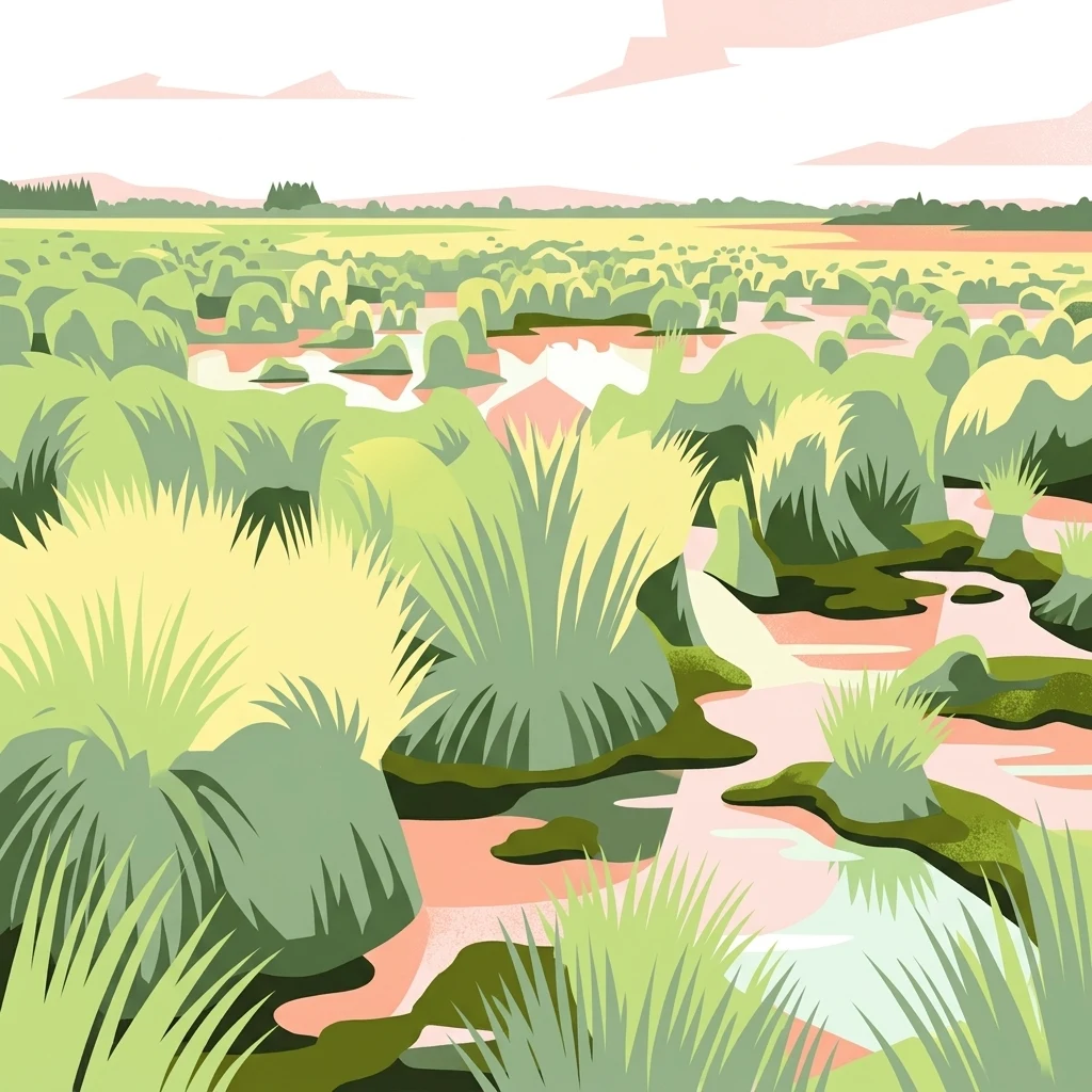
A stylized digital illustration of a wet peat bog landscape featuring clusters of tall grasses, marshy pools, and a soft horizon line under a pale sky.

Réserve naturelle nationale du Venec

Nature reserve

Park overview

Structured park overview, official facts, and landscape profile for Réserve naturelle nationale du Venec

Réserve naturelle nationale du Venec park facts, protected area profile, and essential visitor context

Review the core facts for Réserve naturelle nationale du Venec, including designation, size, terrain, visitor scale, habitats, and operating context in one park-focused overview.

About Réserve naturelle nationale du Venec

The Réserve naturelle nationale du Venec sits in one of the most distinctive upland landscapes of inland Brittany. The Monts d'Arrée form a low but dramatic range of weathered granite ridges, and within them lies the broad Yeun-Elez basin, a hollow historically filled with peat mires, wet heath, and rough grazing. The Venec reserve captures the ecological heart of this basin along the northern edge of the Lac-réservoir Saint-Michel.

Ecologically, the reserve is structured as a concentric, almost textbook example of an Atlantic raised bog. From the dry edge inward, open wet heath and Molinia-dominated grasslands give way to small willow thickets, surrounded by an acidic low marsh, the lagg, which is frequently waterlogged. At the center rises the active raised dome, an ombrotrophic mire fed only by rainwater and dominated by sphagnum mosses. This kind of intact peat-forming system has become exceedingly rare in western France.

The Venec site is not only a landscape and biodiversity refuge but also a functioning natural carbon store, as the actively growing peat continues to accumulate organic matter. The reserve protects a community of rare plants, including Sphagnum pylaesii, the inundated clubmoss, cottongrass, sundews, and bladderworts, alongside invertebrates such as the water spider Argyroneta, declining butterflies like the marsh fritillary, dragonflies including the black sympetrum, and breeding birds and reptiles of open peatland habitats. Its designation reflects recognition of the site's international floristic value and regional importance for fauna.

Quick facts and research context for Réserve naturelle nationale du Venec

National Nature Reserve in the Finistère department of Brittany, France, covering roughly 334 hectares after the 2023 perimeter revision (originally 48 hectares at its 1993 creation). It lies in the commune of Brennilis, about 25 kilometers south of Morlaix, on the northern shore of the Lac-réservoir Saint-Michel in the Monts d'Arrée.

Protected as France's IUCN Category IV (habitat/species management area) and recorded in the World Database on Protected Areas. Managed by the conservation association Bretagne Vivante under the oversight of the French ministry in charge of the environment, with the first management plan validated in January 1999.

Protection and recognition

Official designation history, terrestrial scope, and documented protection data

Réserve naturelle nationale du Venec Protection Status and Designation Records

Terrestrial protection status for Réserve naturelle nationale du Venec establishes its official designation history and management scope recorded for the protected area. Documented records provide verified conservation framework details, established establishment timelines, and baseline atlas metrics.

Protection details

Protection scope
Terrestrial
Designated year
2023
Transboundary protection
No
WDPA ID
62719
Park context

Deeper park guide and search-rich context for Réserve naturelle nationale du Venec

Réserve naturelle nationale du Venec history, landscape, wildlife, and travel context

Explore Réserve naturelle nationale du Venec through its history, landscape character, ecosystems, wildlife, conservation priorities, cultural context, and seasonal travel timing in a structured park guide built for atlas discovery and search intent.

Why Réserve naturelle nationale du Venec stands out

The reserve is best known for safeguarding the only large, still-active raised sphagnum bog remaining in Brittany, a peat dome roughly four to five meters thick formed on acidic granite. This peatland mosaic, with its lagg, transition mires, tussocks of purple moor grass, and flooded sphagnum carpets, is the core of the wider Yeun-Elez peatland landscape and a reference site for Atlantic raised mires in France.
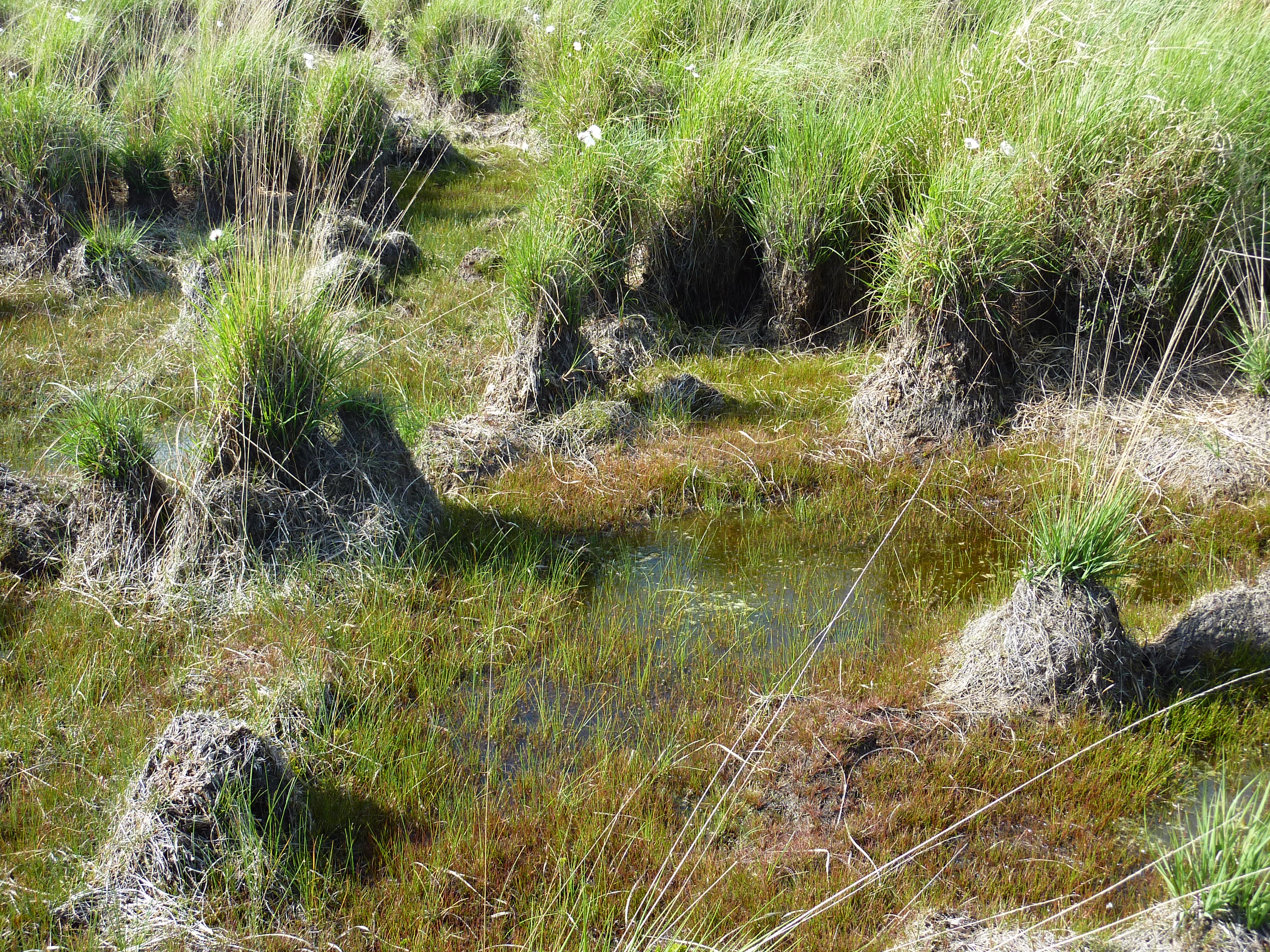
A close-up view of a wet peat bog landscape showing small grassy tussocks rising above saturated, dark, water-filled soil.
A close view of the active peat bog vegetation, characterized by tussocks and wet ground in the Venec nature reserve.

Réserve naturelle nationale du Venec history and protected-area timeline

The peatlands around Brennilis have been part of human life for centuries. The Cassini maps of the eighteenth century show a number of small hamlets scattered through what is now bogland, evidence that the mires were once surrounded by active rural communities. Peat was cut here for fuel and other uses using traditional methods until the end of the 1950s.

The history of the modern reserve begins with disruption. The construction of the Lac-réservoir Saint-Michel, intended to regulate the Éllez river and feed a hydroelectric plant, and later used as cooling water for the Brennilis nuclear power station, flooded about a third of the broader Yeun-Elez peatland zone. Paradoxically, rising water levels and the simultaneous end of industrial peat cutting allowed peripheral bog areas to reactivate and sphagnum vegetation to recover, while elsewhere in western France most large peatlands were drained or destroyed.

In the 1980s, the remaining peat nearly became the target of an industrial operation by the Société des Terreaux Armoricains. An environmental study requested by the departmental sites commission, prompted by the Société pour l'Étude et la Protection de la Nature en Bretagne, confirmed the exceptional heritage value of the Brennilis mires. The result was the creation of the national nature reserve by decree on 9 February 1993, with management entrusted to Bretagne Vivante in 1994 and a first management plan validated in January 1999. A 2023 decree expanded the protected perimeter to roughly 334 hectares.

Réserve naturelle nationale du Venec landscape and geographic character

The Venec reserve lies within an unusually wild-looking corner of Brittany, far from the region's familiar coastal scenery. The surrounding Monts d'Arrée are a compact chain of rounded, heavily weathered granite summits, the highest ridges of inland Brittany, shaped by long exposure into bare rocky crests and peat-stained slopes.

Within this ring of hills sits the broad Yeun-Elez basin, a shallow glacial and post-glacial hollow now dominated by open peatland. The eye moves gently from dry moor and rough pasture through wet heath ringed with purple moor grass tussocks, then into a narrow band of low willow, and finally into the open expanse of the raised bog itself. The bog's surface is uneven, an undulating dome of sphagnum carpets, pools, and darker peat mounds, occasionally punctuated by small erosional features. The northern shore of the Lac-réservoir Saint-Michel frames the reserve to the south, and the bog's reflection on the reservoir's waters is one of the most recognized visual elements of the site.

Réserve naturelle nationale du Venec ecosystems, habitats, and plant life

At the ecological level, the Venec reserve represents an almost complete sequence of Atlantic peatland habitats on acidic substrate. The classic zonation runs from open wet heath through willow scrub to acidic marsh, the lagg, and finally the raised ombrotrophic dome, where peat formation depends entirely on rainfall. The peat depth at the dome is on the order of four to five meters, evidence of long, undisturbed accumulation.

Vegetation on the bog surface is dominated by Sphagnum species, with characterful hummocks of purple moor grass (Molinia caerulea) forming the so-called touradons. Carnivorous plants such as sundews and bladderworts and characteristic peatland herbs like cottongrass grow among the mosses, alongside Sphagnum pylaesii and the rare inundated clubmoss, Lycopodiella inundata. Beyond the bog, the surrounding heath and rough pasture contribute additional plant diversity tied to nutrient-poor, acidic soil conditions.

The active nature of the mire also matters at the climate scale: peatlands of this type are important natural carbon stores, and preserving their growth and integrity is directly relevant to greenhouse-gas balance and regional climate adaptation.

Réserve naturelle nationale du Venec wildlife and species highlights

Peatland specialists dominate the fauna of the Venec reserve. Among the most notable invertebrates is the water spider Argyroneta aquatica, which spends much of its life submerged in bog pools. The marsh fritillary butterfly, a nationally protected species, breeds in the damp meadows surrounding the bog, while the black sympetrum dragonfly is among several peatland odonates that find breeding habitat here.

The reserve also functions as an important breeding area for open-country and wetland birds, and supports reptile populations characteristic of Atlantic mires, including the viviparous lizard and the common European adder. Together with the rare plants and invertebrates, these populations make the site a critical refuge for species that have largely disappeared from more intensively managed landscapes in Brittany.

Réserve naturelle nationale du Venec conservation status and protection priorities

The conservation significance of the Venec reserve lies in what remains rather than what has been restored. It is the last major active raised sphagnum bog in Brittany, recognized at the national inventory level as one of the region's only primordial peatlands of international floristic value. Its protection under France's national nature reserve framework, with IUCN Category IV status, reflects the site's role as a living reference for Atlantic raised mires.

The reserve is integrated into wider ecological networks as a key node: it is part of the Natura 2000 network and contributes to France's national green-and-blue ecological corridors. Its active peat continues to function as a natural carbon sink, adding climate relevance to its biodiversity role. Adjacent zones along the Éllez valley and other parts of Brennilis have additionally been designated as Espaces Naturels Sensibles, allowing the local department to acquire land and support low-intensity agriculture that keeps the wider peatland landscape intact.

Réserve naturelle nationale du Venec cultural meaning and human context

Although today the impression is of a wild landscape, the Yeun-Elez basin has deep human roots. Eighteenth-century Cassini cartography records several dispersed hamlets within what is now bog, and the surrounding Monts d'Arrée carry an older rural Breton heritage tied to moorland grazing, small-scale peat cutting, and upland subsistence farming. The decline of these communities in the twentieth century was driven both by agricultural change and by the major land-use shifts associated with reservoir construction and, later, decommissioning of the Brennilis nuclear plant.

Today the cultural dimension of the site is largely expressed through conservation stewardship. Management by Bretagne Vivante, the same regional naturalist association that campaigned for the reserve's creation, embodies a strong civic and associative tradition of natural heritage protection in Brittany, and the reserve functions both as a scientific reference site and as a focal point for environmental education in the inland Arrée region.

Top sights and standout views in Réserve naturelle nationale du Venec

Last active raised sphagnum bog in Brittany, a four-to-five-meter peat dome on acidic granite; concentric peatland zonation from heath to lagg to ombrotrophic dome; stronghold of rare carnivorous plants, sphagnums, and Lycopodiella inundata; refuge for marsh fritillary butterflies, the water spider Argyroneta, and bog-breeding birds and reptiles; part of Natura 2000 and France's national green-and-blue ecological corridor; managed by Bretagne Vivante in a Breton peatland basin of long cultural history.

Best time to visit Réserve naturelle nationale du Venec

Bog landscapes like Venec are subtle rather than seasonal in the dramatic sense, but timing affects the visitor experience. Late spring into early summer brings fresh green growth across the surrounding heath, active dragonfly and bird breeding, and milder walking conditions on the surrounding trails. Late summer and early autumn tend to draw peatland colors into warmer russet and amber tones in the Molinia tussocks and heather, while winter can emphasize the bare, moody character of the Monts d'Arrée and dramatically lower water levels, though cold and wet conditions can limit trail access.

Because the reserve is a protected peatland, visitors typically experience the site from surrounding trails and viewpoints rather than walking directly onto the bog, and timing choices mainly influence atmosphere and wildlife visibility rather than accessibility.
Monthly climate preview

Trace long-term monthly temperature averages and precipitation patterns for Réserve naturelle nationale du Venec

Réserve naturelle nationale du Venec Climate Normals and Annual Weather Rhythm

Representative coordinate measurements record the long-term temperature progression and daily precipitation rates across the landscape of Réserve naturelle nationale du Venec. Examining the complete twelve-month climatology profile reveals detailed shifts in baseline thermal conditions and moisture distribution throughout the year.
Annual mean11 °C
6 °C17 °C
Jan
Feb
Mar
Apr
May12°
Jun15°
Jul17°
Aug17°
Sep15°
Oct12°
Nov
Dec
Warmest month
August

17.3 °C

Coolest month
February

6.2 °C

Wettest month
December

3.4 mm/day

Driest month
July

1.6 mm/day

Park location guide

Geography guide, regional context, and park location map for Réserve naturelle nationale du Venec

Réserve naturelle nationale du Venec park geography, regions, and map view in France

Understand where Réserve naturelle nationale du Venec sits in France through a broader geographic reading of the surrounding landscape, nearby location context, and its mapped position within the national park landscape.

How Réserve naturelle nationale du Venec fits into France

France is a unitary semi-presidential republic and one of the world's largest economies. It borders Belgium, Luxembourg, Germany, Switzerland, Italy, Monaco, Andorra, and Spain, with a maritime border to the United Kingdom. The country is known for its cultural influence, art, cuisine, and political history spanning centuries.

Wider geography shaping Réserve naturelle nationale du Venec in France

France is located in Western Europe. Metropolitan France extends from the Rhine to the Atlantic Ocean and from the Mediterranean Sea to the English Channel and North Sea. The country borders Belgium, Luxembourg, Germany, Switzerland, Italy, Monaco, Andorra, Spain, and has a maritime border with the United Kingdom.

Map view of Réserve naturelle nationale du Venec

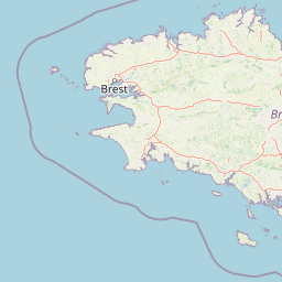
Use this park location map to pinpoint Réserve naturelle nationale du Venec in France, understand its exact geographic position, and read its mapped placement within the surrounding landscape more clearly.

Pigeon | © OpenStreetMap contributors

Location context for Réserve naturelle nationale du Venec

BretagneFinistère

Visualizing the peatland habitats and raised bogs of inland Brittany

Réserve naturelle nationale du Venec Photos and Landscape Scenery

Visual documentation of Réserve naturelle nationale du Venec reveals the unique topography of active raised bogs and granite hills across the Monts d'Arrée. Detailed field photography illustrates the complex peatland zonation, rare flora, and protected wetland habitats preserved within this wild Breton basin.

A close-up view of a wet peat bog landscape showing small grassy tussocks rising above saturated, dark, water-filled soil.

A wide view of a marshy peat bog landscape with clumps of tall green grass and patches of standing water under a bright sky.

Park atlas

Compare regional peatlands, granite uplands, and connected conservation areas across inland Brittany.

Explore Parks Near Réserve naturelle nationale du Venec and Surrounding Protected Landscapes

Browsing other protected areas near Réserve naturelle nationale du Venec reveals the broader ecological context of the Monts d'Arrée basin. Comparing adjacent regional nature reserves helps trace similar Atlantic mire formations and upland wetland habitats throughout western France.
Nature reserveFinistère
About 7.5 km away#1 closest

South

Vallée de l'Aulne Nature Reserve: A Detailed Mapping of Finistère River Valley Geography

Protected riparian landscapes, watershed ecology, and regional basin boundaries

The Vallée de l'Aulne serves as a central artery for the natural landscapes of western France. Spanning from inland Brittany toward the Atlantic, this protected reserve encompasses riverine corridors, bocage terrain, and tidal estuary zones. Use this detailed profile to examine the geographic distribution of protected habitats, river basin features, and the integrated environmental protections that define this key Finistère landscape.

Area
35.64 km²
Established
2014
Relief
Lowland
Climate
Temperate
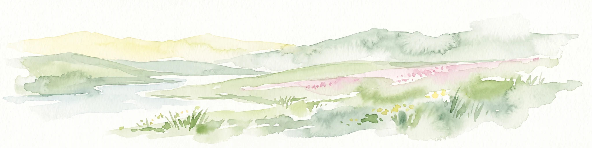
A horizontal watercolor illustration of a soft green landscape with rolling hills, patches of grass, and distant tree lines against a white background.
Nature reserveBretagne
About 11 km away#2 closest

Northeast

Réserve naturelle régionale des landes et tourbières du Cragou et du Vergam: Regional Park Geography

Protected granite ridges and Atlantic peatland ecosystems in Finistère

The Réserve naturelle régionale des landes et tourbières du Cragou et du Vergam stands as a critical reference for understanding Breton upland ecology. Spanning the Monts d'Arrée, these protected sites provide a distinct map of wet heath, acidic flushes, and diverse botanical habitats that define the inland character of northwestern France.

Area
3.434 km²
Established
2008
IUCN
IV
Relief
Upland
Nature reserveBretagne
About 34 km away#3 closest

Northeast

Réserve naturelle régionale des landes, prairies et étangs de Plounérin: Protected Habitat Atlas

Inland Bretagne landscape mosaic and regional nature reserve mapping

This protected area in the heart of Brittany serves as a vital refuge for heathland, meadows, and ponds. Examine the site's mapped boundaries and understand its role as an IUCN Category IV conservation landscape within the broader geography of the Côtes-d'Armor department.

Area
1.607 km²
Established
2016
IUCN
IV
A watercolor painting showing a soft, stylized landscape of green hills, marshy fields, and patches of pink wildflowers or heathland against a white background.
Nature reserveBretagne
About 41 km away#4 closest

Southeast

Réserve naturelle régionale des landes et marais de Glomel: Protected Bog and Heathland Atlas

A rare inland wetland refuge within the Bretagne Montagnes Noires

Explore the geographic mosaic of the Réserve naturelle régionale des landes et marais de Glomel, a protected area in Bretagne comprising dual sites of peat bogs, wet heaths, and marshy meadows. This atlas entry details the internal terrain, including the Grazius stream network and the historic canal environment, essential for understanding the habitat distribution and conservation of this distinct inland landscape.

Area
1.078 km²
Established
2008
IUCN
IV
Relief
Upland
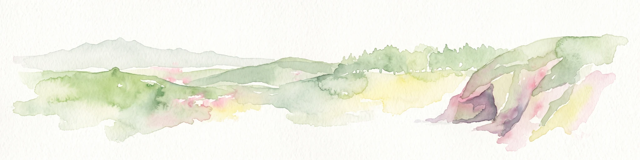
Watercolor painting of soft, rolling green hills and pinkish, jagged coastal cliffs on a white background.
Nature reserveBretagne
About 43 km away#5 closest

West

Réserve naturelle régionale des sites d'intérêt géologique de la presqu'île de Crozon: Protected Area and Atlas

Coastal geological heritage and maritime landscapes in the heart of Bretagne.

Spanning 27 distinct locations, the Réserve naturelle régionale des sites d'intérêt géologique de la presqu'île de Crozon documents millions of years of volcanic, tectonic, and sedimentary evolution. The reserve anchors its scientific value in its open-air exposures of Paleozoic rock, while simultaneously providing a sanctuary for specialized coastal flora and fauna along the Atlantic edge of Bretagne.

Area
1.564 km²
Established
2013
IUCN
IV
Relief
Upland
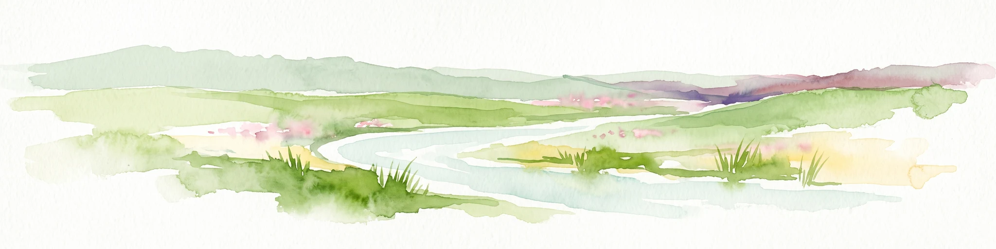
A soft, painterly watercolor illustration of a winding river flowing through green marshlands, coastal dunes, and gentle rolling hills under a bright, open sky.
Nature reserveFinistère
About 51 km away#6 closest

Northwest

Réserve naturelle régionale des marais, dunes et baies de Guissény: Protected Atlas Detail

Coastal reserve geography and maritime landscape mapping

Located in Finistère, this protected area features an intricate network of reedbeds, dune ridges, and coastal lagoons. The reserve provides a critical refuge for over 200 bird species and serves as a prime example of the land-and-sea ecological transition characteristic of the northern Breton coastline.

Area
6.083 km²
Established
2025
IUCN
IV
Relief
Lowland
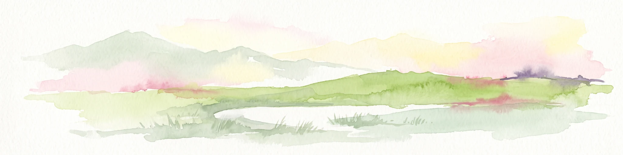
A soft watercolor painting showing a green landscape with a small pond in the foreground and rolling hills in the background under a pastel sky.
Nature reserveMorbihan
About 73 km away#7 closest

Southeast

Réserve naturelle régionale des étangs du Petit et du Grand Loc'h: Wetland Landscape Atlas

Coastal protected area in Morbihan, Brittany

Located along the Atlantic coast near Guidel, this regional nature reserve protects a vital corridor of freshwater ponds, wet meadows, and reclaimed polders. The area is defined by its complex hydrology and serves as a key refuge for wintering and migratory bird populations within the Morbihan landscape, showcasing the intersection of maritime and terrestrial environments.

Area
1.18 km²
Established
2008
IUCN
IV
Relief
Lowland
A soft watercolor illustration showing a calm coastal bay with distant low hills, green shorelines, and sandy patches under a pale sky.
Nature reserveCôtes-d'Armor
About 90 km away#8 closest

East

Réserve naturelle nationale de la baie de Saint-Brieuc: Coastal Geography and Protected Terrain

Tidal mudflats and salt marshes on the North-Armorican coast.

Located in the Côtes-d'Armor department, this French nature reserve spans over 1,000 hectares of intertidal terrain. The area features a complex mosaic of sandy flats, brackish marshes, and dune systems, providing a critical study of coastal processes and tidal ecosystems along the Brittany shoreline.

Area
11.4 km²
Established
1998
IUCN
IV
Relief
Lowland

Common questions about visiting, size, designation, and location context for Réserve naturelle nationale du Venec

Réserve naturelle nationale du Venec FAQs for park facts, access, geography, and protected area context

Find quick answers about Réserve naturelle nationale du Venec, including protected-area facts, park geography, trail and visitor context, and how the park fits into its surrounding country and regional landscape.
MoriAtlas Explorer

Continue Your Protected Areas Search Across the Global Atlas

Deepen your exploration by continuing the structured search for national parks and protected areas worldwide. Utilize the comprehensive filtering capabilities to compare different conservation landscapes and refine your understanding of global park geography. Discover more about the distribution and characteristics of protected natural areas.

Global natural geography