
Mori Atlas logo
Nature reserveRéserve naturelle régionale de la basse vallée de la Savoureuse

A concentrated alluvial corridor featuring gravel bars and riparian woodlands in the Doubs region.

Réserve naturelle régionale de la basse vallée de la Savoureuse: Mapped Protected Floodplain

(Réserve naturelle régionale de la basse vallée de la Savoureuse (RNR155))

The Réserve naturelle régionale de la basse vallée de la Savoureuse encompasses a 1.2-kilometer stretch of the Savoureuse river, serving as a critical alluvial floodplain within the Doubs department of eastern France. This protected landscape preserves a dense mosaic of gravel banks, wet meadows, and white willow-dominated riparian woodland. The terrain transitions between siliceous alluvium and impermeable marl, creating a distinct environmental gradient that supports varied wetland ecosystems.

alluvial floodplainriver reservewet meadowsriparian woodlandgravel barsbirdwatching
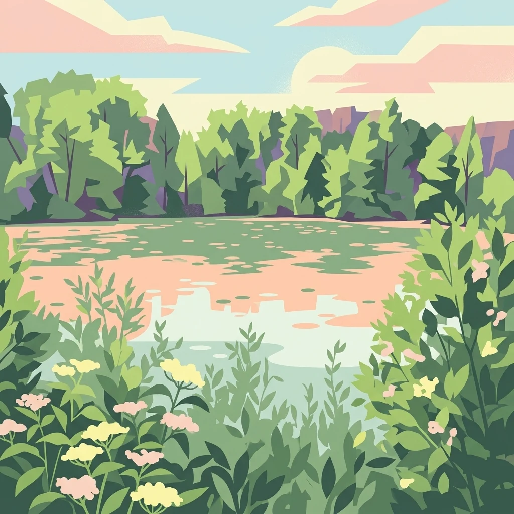
A flat vector illustration showing a calm river reflecting a pink and blue sky, bordered by a dense green forest in the background and various wildflowers and plants in the foreground.

Réserve naturelle régionale de la basse vallée de la Savoureuse

Nature reserve

Park overview

Structured park overview, official facts, and landscape profile for Réserve naturelle régionale de la basse vallée de la Savoureuse

Réserve naturelle régionale de la basse vallée de la Savoureuse park facts, protected area profile, and essential visitor context

Review the core facts for Réserve naturelle régionale de la basse vallée de la Savoureuse, including designation, size, terrain, visitor scale, habitats, and operating context in one park-focused overview.

About Réserve naturelle régionale de la basse vallée de la Savoureuse

The Réserve naturelle régionale de la basse vallée de la Savoureuse protects a short but ecologically rich stretch of the lower Savoureuse river, in the Doubs department of eastern France. The protected area runs roughly 1.2 kilometers along the river and lies a few kilometers north of Montbéliard, between the larger urban areas of Belfort and Montbéliard. Although the reserve itself occupies only about 42 hectares, it is surprisingly varied because it captures the full transition between the active river channel and the surrounding floodplain.

Geologically, the reserve lies at the boundary between the plateaux of Haute-Saône and the limestone Jura massif, but its surface materials come from further upstream. The Savoureuse has deposited siliceous alluvium of Vosgean origin over an impermeable substrate of marl, a combination that produces distinct wet conditions close to the river and more stable surfaces further away. This contrast in substrate and flooding regime supports a wide range of habitats within a compact area.

The reserve is significant both ecologically and as an example of landscape recovery. Many of its surrounding parcels were extracted for sand and gravel in earlier decades, and some remain used for leisure activities such as a nautique base. Within that broader mosaic, the protected area has been carefully maintained to preserve alluvial features that have become rare in the region, including gravel beaches, small cliffs cut by the river, accumulations of woody debris, and relict areas still shaped by flood dynamics.

The reserve is managed by the Communauté d'agglomération du Pays de Montbéliard, which owns most of the land and runs conservation, public access, and educational programs. A pedagogy sentier runs along a raised dike, while a belvédère overlooks the riparian woodland and a dedicated observatory overlooks an active gravel pit area used by wildlife. Together, these elements make the reserve both a conservation site and a place where visitors can experience an alluvial landscape up close.

Quick facts and research context for Réserve naturelle régionale de la basse vallée de la Savoureuse

The reserve is classified as a regional nature reserve (Réserve naturelle régionale) under UICN Category IV. Created on 26 June 2008, it covers about 41.87 hectares along the lower Savoureuse in the Doubs department.

It lies at roughly 330 meters elevation and is administered by the Communauté d'agglomération du Pays de Montbéliard. The site sits within an area of former sand and gravel extraction that has been progressively reclaimed for nature.

Protection and recognition

Documented terrestrial protection history and formal designation records

Réserve Naturelle Régionale de la Basse Vallée de la Savoureuse Protection Status

Terrestrial protection status for Réserve naturelle régionale de la basse vallée de la Savoureuse dates back to its formal designation in 2008. Official conservation records capture the established management framework and registry data associated with the protected landscape.

Protection details

Protection scope
Terrestrial
Designated year
2008
Transboundary protection
No
WDPA ID
555514365
Park context

Deeper park guide and search-rich context for Réserve naturelle régionale de la basse vallée de la Savoureuse

Réserve naturelle régionale de la basse vallée de la Savoureuse history, landscape, wildlife, and travel context

Explore Réserve naturelle régionale de la basse vallée de la Savoureuse through its history, landscape character, ecosystems, wildlife, conservation priorities, cultural context, and seasonal travel timing in a structured park guide built for atlas discovery and search intent.

Why Réserve naturelle régionale de la basse vallée de la Savoureuse stands out

The reserve is best known for protecting a representative fragment of an inland alluvial floodplain in a heavily modified lowland setting. Its combination of gravel bars, wet meadows, white willow stands, and ash-alder riparian Woodland gives it strong ecological value despite its small footprint. It also stands out for the recovery of a landscape that was previously disturbed by aggregate extraction, where former industrial activity has been redirected toward biodiversity, recreation, and education. The mosaic of habitats along such a short reach of river makes it a concentrated example of lowland floodplain ecology in eastern France.
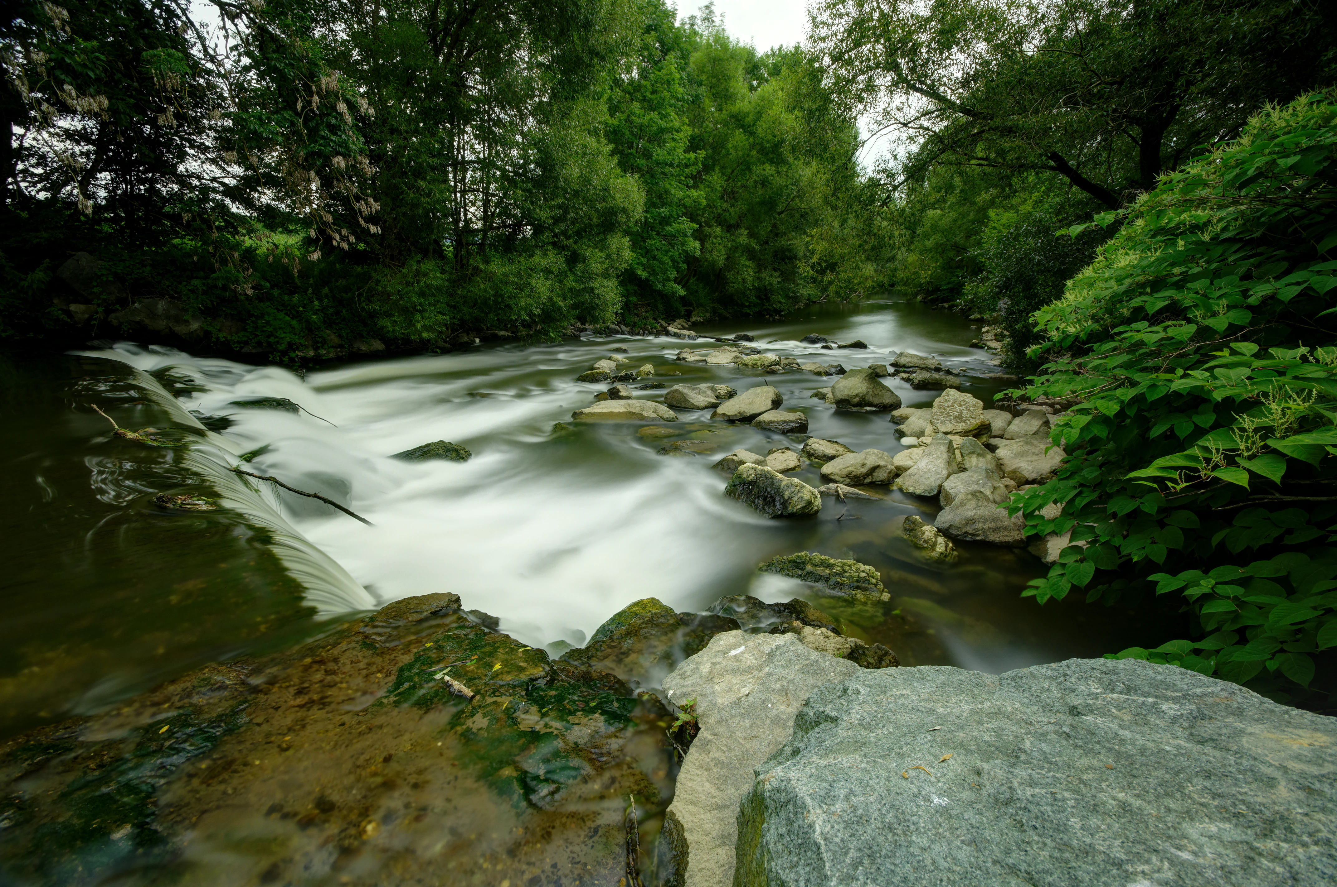
A river with silky white water flowing over grey rocks, flanked by lush green trees and mossy stones in the foreground.
Long-exposure view of the Savoureuse river flowing over rocks, surrounded by dense green forest.

Réserve naturelle régionale de la basse vallée de la Savoureuse history and protected-area timeline

The landscape around the current reserve was heavily used for sand and gravel extraction for several decades, a common activity in lowland river corridors in eastern France. As extraction operations shifted or ended, the Communauté d'agglomération du Pays de Montbéliard acquired these parcels during the 1970s and 1980s with the original aim of developing a loisirs base along the river.

That trajectory changed in 1987, when local nature protection associations intervened to push for stronger conservation status. Their efforts ultimately led to the creation of a réserve naturelle volontaire in 2000, establishing a first formal protection regime over the site. Building on this foundation, the area was reclassified and officially designated as a régionale nature reserve on 26 June 2008, with an initial term of ten years that has been renewable.

The site is also recognized within France's national natural heritage inventory as a ZNIEFF of type I under the name 'Basse Vallée de la Savoureuse,' reflecting its enduring ecological significance beyond the formal reserve boundaries.

Réserve naturelle régionale de la basse vallée de la Savoureuse landscape and geographic character

The reserve's landscape is defined primarily by the Savoureuse river and the alluvial features it has created. Within the protected area, the active channel gives way to classic floodplain topography: small cliffs cut into older deposits, gravel beaches along the banks, and accumulations of woody debris carried and deposited by floods. The full set of these features, often minimized elsewhere by embankments or channel straightening, is unusually well represented here.

Away from the river itself, the terrain transitions into flatter zones where siliceous alluvium overlies impermeable marl. These areas are higher above the active channel and historically less disturbed by floods, giving rise to wet meadows rather than active gravel bars. The reserve sits at roughly 330 meters elevation, and the gentle topography, combined with the river corridor, creates a visually quiet but ecologically layered landscape typical of inland alluvial valleys in eastern France.

The wider landscape around the reserve is heavily shaped by human activity. The Savoureuse corridor is bordered by infrastructure such as the A36 motorway, residual gravel extraction sites, and a nautique loisirs base. The protected area functions as a natural core within this heavily engineered matrix, offering a stretch of comparatively intact floodplain that contrasts with its surroundings.
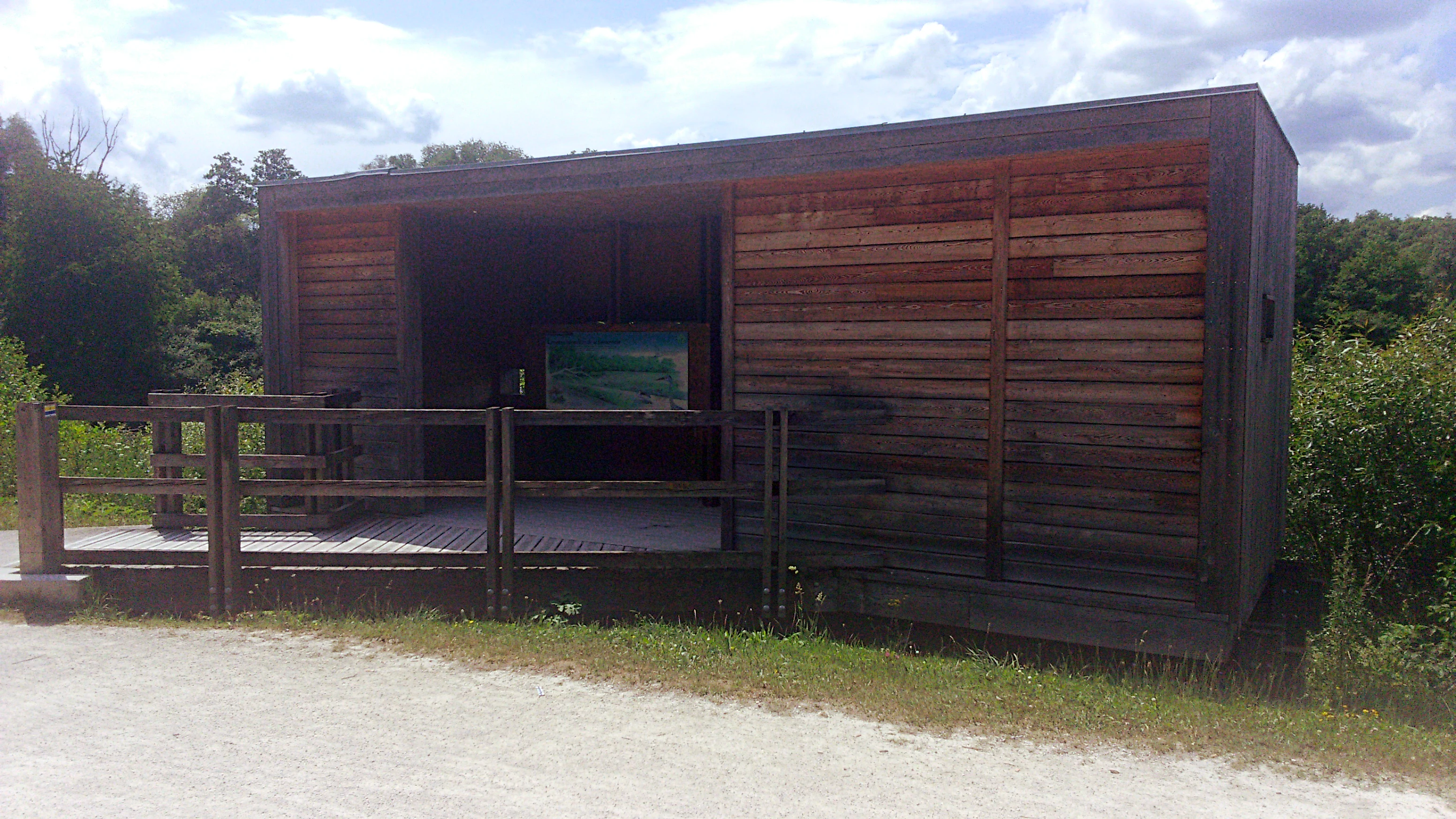
A wooden observation structure with horizontal slat cladding, featuring an open viewing area with a wooden deck and railing, surrounded by green vegetation under a partly cloudy sky
Wooden observation hide with viewing deck at the Réserve naturelle régionale de la basse vallée de la Savoureuse in Brognard, France

Réserve naturelle régionale de la basse vallée de la Savoureuse ecosystems, habitats, and plant life

The reserve's ecological character is dominated by alluvial ecosystems that benefit from alternating wet and dry conditions. Close to the river, pioneer habitats develop on fresh gravel deposits, while older surfaces support willow-dominated woodland and ash-alder stands influenced by groundwater.

The site hosts eight habitat types of European conservation interest, including two priority habitats: a white willow gallery forest and a stellario-ash-alder Woodland. Further from the channel, wet meadows are maintained through late-season mowing, a management approach that preserves their floristic richness and keeps succession at bay.

The regional climate has a clear continental signature, with around 83 frost days per year on average. This seasonal contrast shapes the vegetation, favoring species adapted to cold winters and warm summers, and contributes to the presence of relict or geographically marginal plant communities within the reserve. Overall, ecological value rises sharply across very short distances because the reserve includes gradients from active channel to stabilized floodplain.

Réserve naturelle régionale de la basse vallée de la Savoureuse wildlife and species highlights

The mix of habitats supports a diverse fauna typical of well-structured alluvial corridors. The reserve's Birdlife is particularly notable: 35 nesting species have been recorded, including the grey-headed woodpecker, black kite, sedge warbler, Eurasian wryneck, common kingfisher, and red-backed shrike, a combination that reflects both mature woodland and open wetland conditions.

Reptiles are well represented given the site's small size, with species such as the slow worm, agile lizard, viviparous lizard, grass snake, and the introduced pond slider present on or near the reserve. Amphibians include the palmate newt, common toad, marsh frog, and common frog, taking advantage of wet features along the floodplain.

Insect diversity adds a further dimension. Forty-nine butterfly species have been recorded, including the scarce large copper, a species of conservation concern tied to wet meadows. Thirty-four odonate species have also been documented, reflecting the importance of standing and slow-moving water features across the reserve.

Réserve naturelle régionale de la basse vallée de la Savoureuse conservation status and protection priorities

The Basse vallée de la Savoureuse reserve plays an important conservation role as one of the few protected stretches of alluvial floodplain remaining along the Savoureuse river. Its small size belies its ecological significance: the concentration of European-interest habitats, the presence of two priority habitat types, and the diversity of associated flora and fauna make it disproportionately valuable for regional biodiversity.

Conservation management focuses on maintaining the natural dynamics of the floodplain where possible, while actively shaping more stable zones through practices such as late mowing of wet meadows. Avoiding succession toward uniform woodland is a key objective, as it would reduce the diversity of open, sun-exposed habitats on which several specialist species depend.

The reserve's status within the national ZNIEFF inventory reinforces its recognition as a site of outstanding ecological interest. Its governance by an intermunicipal authority, rather than a traditional park administration, also illustrates an integrated approach to conservation that links biodiversity protection with local land-use planning in an industrial and urban corridor.

Réserve naturelle régionale de la basse vallée de la Savoureuse cultural meaning and human context

The reserve sits within an industrial and urban landscape shaped by generations of aggregate extraction, transport infrastructure, and manufacturing activity around Montbéliard and Belfort. The transformation of former extraction sites into a protected area reflects a broader shift in how local communities relate to the river corridor, moving from extractive use toward ecological recovery and recreation.

The involvement of the Communauté d'agglomération du Pays de Montbéliard as both landowner and manager places the reserve firmly within local territorial identity. Educational trails, viewpoints, and observation facilities integrate the site into everyday regional life, positioning the Savoureuse floodplain not as a remote natural area but as a local natural heritage asset embedded within a densely settled valley.

Top sights and standout views in Réserve naturelle régionale de la basse vallée de la Savoureuse

One of the most distinctive features of the reserve is the way a 1.2-kilometer stretch of river condenses a complete alluvial sequence into a very small area, from active gravel bars to mature riparian woodland and wet meadows. The presence of two priority European habitats and eight habitats of European interest within about 42 hectares gives it an unusually high ecological density.

The reserve is also notable for its combination of conservation and accessibility. Marked trails, a dike-top sentier pédagogique, a belvédère overlooking the wood, and an observatory next to a gravel extraction area allow visitors to experience habitats and species that in many other regions remain hidden or inaccessible. This blend of restoration, protection, and public engagement defines the site's identity.

Best time to visit Réserve naturelle régionale de la basse vallée de la Savoureuse

The continental climate, with cold winters and warm summers, gives the reserve a strongly seasonal character. Spring and early summer are generally the most rewarding periods for visiting, when wet meadows are in flower, birds are nesting, and insect activity, including butterflies and odonates, is at its peak across open and wet habitats.

Late summer and early autumn remain attractive, particularly for observing dragonflies along standing water features and for riparian foliage, though some wet meadow habitats may appear drier after extended warm periods. Winter visits tend to be quieter in terms of visible wildlife, but the structural diversity of the floodplain, from gravel banks to mature woodland, remains accessible along the marked trails.

Monthly climate preview

Long term representative point measurements tracking monthly temperature and precipitation patterns

Climate Normals and Annual Temperature Rhythm in Réserve naturelle régionale de la basse vallée de la Savoureuse

Réserve naturelle régionale de la basse vallée de la Savoureuse experiences a measured annual temperature rhythm ranging from subzero winter minimums to warm summer maximums alongside consistent daily precipitation. Examining the complete twelve month profile provides deeper insight into long term climate normals across the protected landscape.
Annual mean9 °C
0 °C18 °C
Jan
Feb
Mar
Apr
May13°
Jun16°
Jul18°
Aug18°
Sep14°
Oct
Nov
Dec
Warmest month
July

18.3 °C

Coolest month
January

-0.1 °C

Wettest month
May

3.3 mm/day

Driest month
March

2.2 mm/day

Park location guide

Geography guide, regional context, and park location map for Réserve naturelle régionale de la basse vallée de la Savoureuse

Réserve naturelle régionale de la basse vallée de la Savoureuse park geography, regions, and map view in France

Understand where Réserve naturelle régionale de la basse vallée de la Savoureuse sits in France through a broader geographic reading of the surrounding landscape, nearby location context, and its mapped position within the national park landscape.

How Réserve naturelle régionale de la basse vallée de la Savoureuse fits into France

France is a unitary semi-presidential republic and one of the world's largest economies. It borders Belgium, Luxembourg, Germany, Switzerland, Italy, Monaco, Andorra, and Spain, with a maritime border to the United Kingdom. The country is known for its cultural influence, art, cuisine, and political history spanning centuries.

Wider geography shaping Réserve naturelle régionale de la basse vallée de la Savoureuse in France

France is located in Western Europe. Metropolitan France extends from the Rhine to the Atlantic Ocean and from the Mediterranean Sea to the English Channel and North Sea. The country borders Belgium, Luxembourg, Germany, Switzerland, Italy, Monaco, Andorra, Spain, and has a maritime border with the United Kingdom.

Map view of Réserve naturelle régionale de la basse vallée de la Savoureuse

Use this park location map to pinpoint Réserve naturelle régionale de la basse vallée de la Savoureuse in France, understand its exact geographic position, and read its mapped placement within the surrounding landscape more clearly.

Pigeon | © OpenStreetMap contributors

Location context for Réserve naturelle régionale de la basse vallée de la Savoureuse

Doubs

Visual exploration of alluvial floodplains, wet meadows, and riparian woodland habitats

Réserve naturelle régionale de la basse vallée de la Savoureuse Photos and Landscape Scenery

Photographs capture the diverse terrain of the protected river corridor, including active gravel banks, willow-dominated riparian woodland, and open wet meadows. Visual documentation reveals the ecological character and environmental gradients defining this lowland valley setting in eastern France.

A river with silky white water flowing over grey rocks, flanked by lush green trees and mossy stones in the foreground.

A landscape view of a marshy river with green aquatic plants on the water surface, framed by tall grasses in the foreground and a dense forest in the background.

A wooden observation structure with horizontal slat cladding, featuring an open viewing area with a wooden deck and railing, surrounded by green vegetation under a partly cloudy sky

Park atlas

Compare regional protected areas and adjacent river valley landscapes in eastern France.

Other Parks Near Réserve naturelle régionale de la basse vallée de la Savoureuse

Browsing other protected areas near Réserve naturelle régionale de la basse vallée de la Savoureuse reveals a broader network of alluvial river corridors and wetland reserves. Comparing these regional landscapes provides essential context for understanding lowland conservation networks across the Bourgogne-Franche-Comté region.
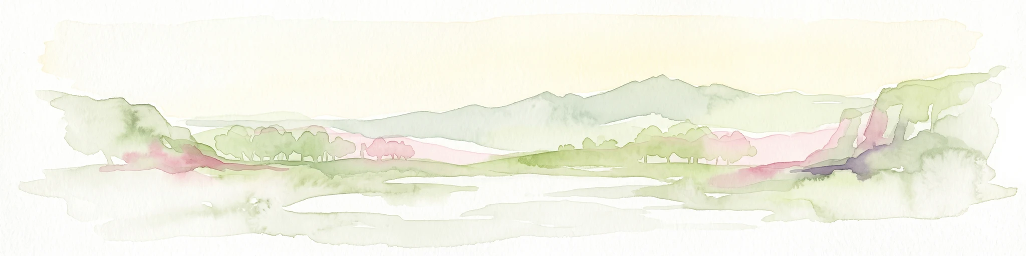
A pale, soft-focus watercolor illustration depicting a limestone cliff landscape with gentle rolling hills and light vegetation.
Nature reserveBourgogne-Franche-Comté
About 18 km away#1 closest

South

Réserve naturelle régionale du Crêt des Roches: Protected Landscape and Geography Atlas

Lomont range limestone corniche and regional nature reserve map

Situated southeast of Pont-de-Roide-Vermondans, this regional nature reserve preserves a compact forty-three hectare area of Jurassic limestone cliffs and mesophilic forests. The site provides a critical reference point for studying Mediterranean-margin flora, including rare relict plant populations, and stands as a major topographical observation corridor for autumn bird migrations in eastern France.

Area
0.434 km²
Established
2009
IUCN
IV
Relief
Upland
A wide watercolor painting showing a body of water in the foreground, green trees along the banks, and rolling hills and mountains in soft pink, yellow, and green hues in the background.
Nature reserveFrance
About 34 km away#2 closest

Northwest

Réserve naturelle régionale de la tourbière de la Grande Pile: Regional Nature Reserve

Protected peatland ecosystems and climate archive in eastern France

This regional nature reserve provides a compact study of peatland development and palaeo-environmental history. It preserves diverse wetland habitats at the edge of the Vosges saônoises, offering a rich environment for rare flora and dragonfly species within the wider Région des Mille étangs.

Area
0.593 km²
Established
2016
Relief
Lowland
Climate
Temperate
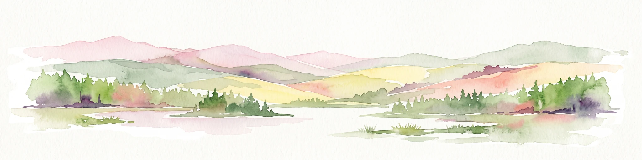
Watercolor painting of a green forested landscape with rolling hills under a soft pink and yellow sunrise sky.
Nature reserveJura
About 34 km away#3 closest

Southeast

Franches-Montagnes Nature Reserve: A Detailed Atlas of Jura Plateau and Peat Bog Geography

Protected karst limestone landscapes and highland pasture geography.

The Franches-Montagnes nature reserve spans a unique high plateau in the Swiss Jura, characterized by its complex karst substrate and iconic raised bog systems like the Etang de la Gruère. This protected area supports a mosaic of traditional wooded pastures and wetlands, serving as a primary site for understanding the intersection of human pastoral heritage and sensitive highland ecology.

Area
39.57 km²
Established
1977
Relief
Upland
Climate
Temperate
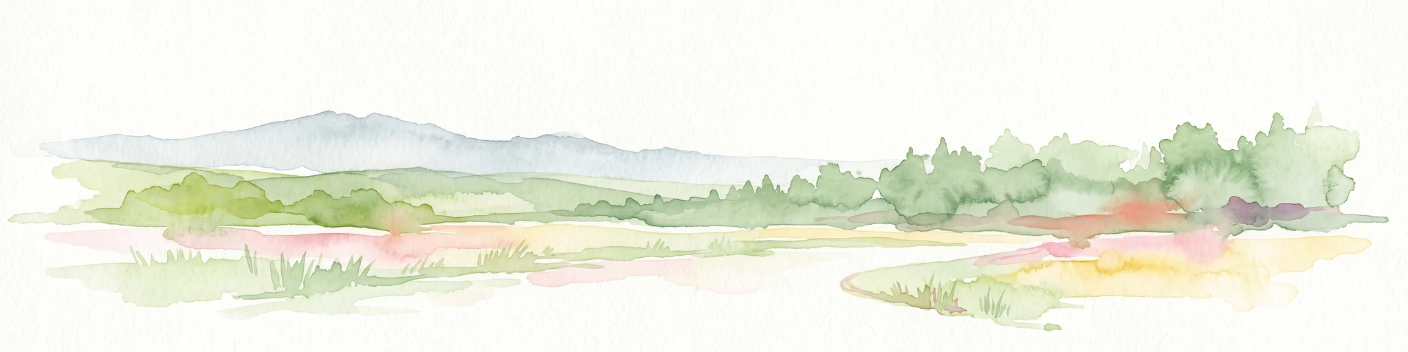
A soft watercolor painting of a rolling landscape with green hills, light blue distant mountains, and patches of pink and yellow vegetation.
Nature reserveGrand Est
About 35 km away#4 closest

North

Réserve naturelle régionale de la forêt des volcans de Wegscheid: Geological Protected Area

Mapping volcanic terrain in the Grand Est region of eastern France.

Located in the Haut-Rhin, this regional nature reserve preserves a distinct volcanic landscape characterized by rocky promontories, basalt columns, and mature forest stands. The protected terrain features varied elevation from 700 meters to the Rossberg ridge, showcasing geological formations that have remained largely untouched by intensive historical forestry.

Area
1.015 km²
Established
2008
IUCN
IV
Relief
Mountain
Nature reserveGrand Est
About 35 km away#5 closest

Northeast

Réserve naturelle régionale Im'Berg: Mapping a Unique Protected Nature Reserve in France

A rare calcareous grassland habitat in the Grand Est region.

Réserve naturelle régionale Im'Berg preserves a sun-drenched limestone slope in the commune of Tagolsheim. Known as the Buxberg, this protected area guards one of the most significant natural boxwood populations in Europe alongside specialized dry-habitat flora. The reserve functions as an essential geographic reference for studying how steep, calcareous terrain creates isolated, warm microclimates within the broader Alsatian landscape.

Area
0.017 km²
Established
2013
IUCN
IV
Nature reserveBourgogne-Franche-Comté
About 36 km away#6 closest

West

Réserve naturelle régionale des Grottes du Cirque: Regional Nature Reserve and Karst Network

Protected limestone valley and bat hibernation site in Bourgogne-Franche-Comté

Located in the pre-Jura hills, this regional nature reserve features a compact reculée landscape defined by six limestone caves. These protected underground habitats serve as vital wintering grounds for various bat species and contain significant prehistoric fossil remains, marking the site as a key area for both geological and ecological study in eastern France.

Area
0.153 km²
Established
2015
IUCN
IV
Relief
Upland
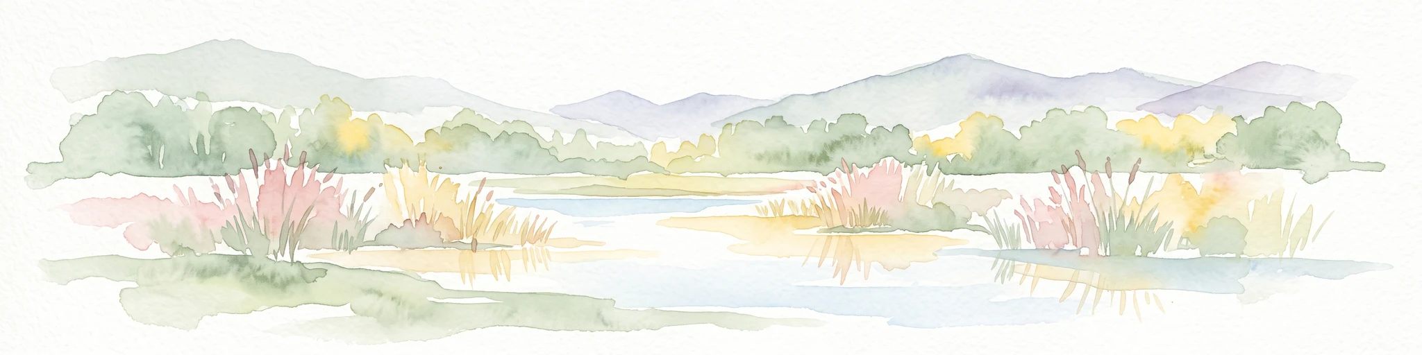
A panoramic watercolor painting depicting a calm wetland or marsh with pink and yellow reeds in the foreground, green trees in the midground, and soft purple mountains in the background.
Nature reserveHaut-Rhin
About 40 km away#7 closest

Northeast

Réserve naturelle régionale des marais et landes du Rothmoos Protected Landscape and Geography

Regional nature reserve in the Haut-Rhin department of Alsace

The Réserve naturelle régionale des marais et landes du Rothmoos encompasses a rare inland saline habitat complex within the Nonnenbruch forest. Its terrain is defined by stable pools created from mining subsidence, transitioning into heathland and oak forests. This protected area stands as an ecological refuge for migratory waterbirds and specialized aquatic species within an industrial-legacy environment.

Area
1.457 km²
Established
1988
IUCN
IV
Relief
Lowland
A pale, abstract watercolor painting showing rolling green hills and distant mountain ridgelines on a white background.
Nature reserveCanton of Bern
About 45 km away#8 closest

South

Combe Grède Nature Reserve: Geological Gorge and Protected Mountain Landscape in Bern

Folded Jura limestone terrain and biodiversity hotspots.

The Combe Grède nature reserve presents a striking half-cluse gorge carved into Cretaceous limestone. This protected area within the Canton of Bern showcases an instructive geological sequence, ancient pine stands, and diverse mountain habitats that span from shaded cliffs to alpine pastures.

Area
12 km²
Established
1932
Relief
Mountain
Climate
Temperate

Common questions about visiting, size, designation, and location context for Réserve naturelle régionale de la basse vallée de la Savoureuse

Réserve naturelle régionale de la basse vallée de la Savoureuse FAQs for park facts, access, geography, and protected area context

Find quick answers about Réserve naturelle régionale de la basse vallée de la Savoureuse, including protected-area facts, park geography, trail and visitor context, and how the park fits into its surrounding country and regional landscape.
MoriAtlas Explorer

Continue Your Protected Areas Search Across the Global Atlas

Deepen your exploration by continuing the structured search for national parks and protected areas worldwide. Utilize the comprehensive filtering capabilities to compare different conservation landscapes and refine your understanding of global park geography. Discover more about the distribution and characteristics of protected natural areas.

Global natural geography