
Mori Atlas logo
Nature reserveRéserve naturelle régionale du Bois des Roches

A limestone promontory over the Creuse valley showcasing unique thermophilic oak woodland and cave ecosystems

Réserve naturelle régionale du Bois des Roches: Geographic Profile and Protected Landscape Mapping

The Réserve naturelle régionale du Bois des Roches sits as a significant protected enclave above the Creuse valley in the Centre-Val de Loire region of France. Its twelve-hectare footprint encompasses dramatic limestone cliffs, thirty-four distinct caves and cavities, and a fragile mosaic of calcareous grasslands and pubescent oak forest. This protected area functions as a vital node in regional ecological networks, bridging the biogeographic transition between Atlantic and continental climates while preserving critical habitats for specialized cave fauna and rare plant species.

regional nature reservelimestone cliffscaves and cavitiesthermophilic oak forestcalcareous grasslandsbats and cave fauna
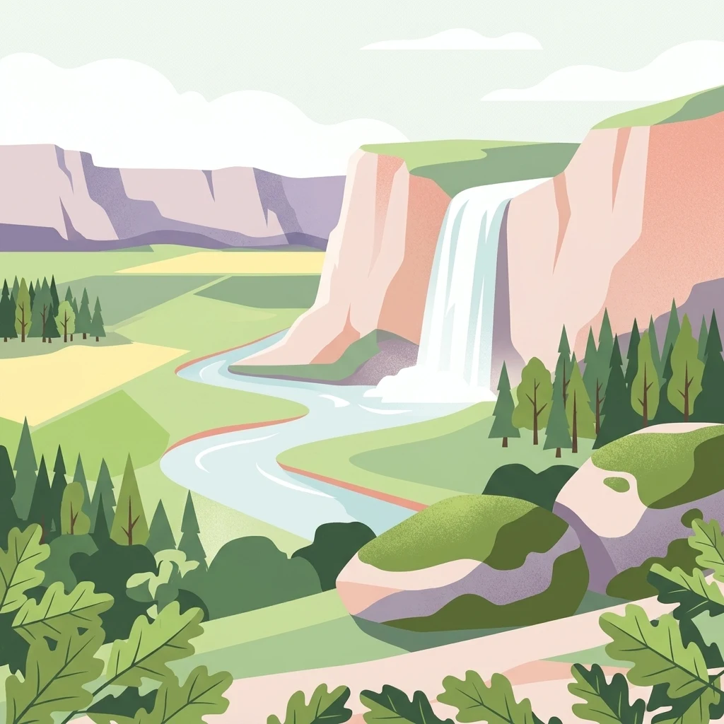
A flat-style digital illustration depicting a winding river flowing through a lush valley between light-colored limestone cliffs, with a waterfall cascading from one of the cliffs and coniferous trees along the banks.

Réserve naturelle régionale du Bois des Roches

Nature reserve

Park overview

Structured park overview, official facts, and landscape profile for Bois des Roches Regional Nature Reserve

Bois des Roches Regional Nature Reserve park facts, protected area profile, and essential visitor context

Review the core facts for Bois des Roches Regional Nature Reserve, including designation, size, terrain, visitor scale, habitats, and operating context in one park-focused overview.

About Bois des Roches Regional Nature Reserve

Bois des Roches is a regional nature reserve located on the southern edge of the Creuse valley, on the heights above the river where it passes through the western part of the Indre department. The protected area lies southwest of the village of Pouligny-Saint-Pierre, near the lieu-dit Les Roches, and within a small portion of the broader Parc naturel régional de la Brenne. Its altitude ranges from about 74 to 126 meters, and the site looks out over the Creuse valley toward the commune of Sauzelles.

The reserve's defining feature is its geological setting: two sets of dry limestone cliffs facing south, between roughly twelve and forty meters tall, into which erosion has carved thirty-four caves and cavities. These cliffs rise above a mosaic of thermophilic woodland dominated by pubescent oak and small open patches of calcareous grassland, the latter being relictual fragments of older pastoral landscapes, especially from goat grazing. The site lies exactly where two major biogeographic domains meet, the Atlantic and the continental, lending it an unusual blend of ecological influences for this part of France.

Ecologically, Bois des Roches is disproportionately significant relative to its modest size. It hosts 356 plant species, including 89 bryophytes and 267 vascular plants, among them seven protected species such as the narrow-leaved helleborine and yellow foxglove, along with thirty-three rare taxa, including plants of cliffs and cave entrances like clustered bellflower and ciliate melick. The cliffs and caves make the reserve a key site for cave-dwelling fauna, especially bats, with breeding and hibernating colonies of the greater horseshoe bat. The site also hosts a stable transit population of the globally threatened Mediterranean horseshoe bat, representing around four percent of the French population.

The reserve is part of broader ecological networks in the region. The Creuse valley below serves as a major ecological corridor, used by beavers and otters, and links into the Pan-European Ecological Network. The reserve is recognized through several complementary designations, including a ZNIEFF type 1 inventory, a Natura 2000 Special Area of Conservation covering the Creuse valley and its tributaries, and an Important Bird and Biodiversity Area. Today it is managed by the Conservatoire d'espaces naturels Centre-Val de Loire, which uses grazing by Berrichon sheep to maintain the open calcareous grasslands and counter scrub encroachment.

Quick facts and research context for Bois des Roches Regional Nature Reserve

The Bois des Roches Regional Nature Reserve is a regional nature reserve (Réserve naturelle régionale, or RNR), a category of French protected area with IUCN Category IV status. It lies in the Indre department, in the Blancois natural region of the Centre-Val de Loire region. The reserve covers approximately 12 hectares and is administered by the Conservatoire d'espaces naturels Centre-Val de Loire. It was first established as a voluntary nature reserve in 1997 and reclassified as a regional nature reserve in February 2012. The site is embedded within the broader landscape of the Parc naturel régional de la Brenne and lies close to the Ramsar wetlands of the Brenne.

Protection and recognition

Explore documented terrestrial protection data, designation year, and management scope.

Protection Status and Designation History for Réserve naturelle régionale du Bois des Roches

Terrestrial protection status for Réserve naturelle régionale du Bois des Roches is established under documented records dating from 2012. Systematic geographic data consolidates official designation history and administrative records for conservation analysis.

Protection details

Protection scope
Terrestrial
Designated year
2012
Transboundary protection
No
WDPA ID
555513706
Park context

Deeper park guide and search-rich context for Bois des Roches Regional Nature Reserve

Bois des Roches Regional Nature Reserve history, landscape, wildlife, and travel context

Explore Bois des Roches Regional Nature Reserve through its history, landscape character, ecosystems, wildlife, conservation priorities, cultural context, and seasonal travel timing in a structured park guide built for atlas discovery and search intent.

Why Bois des Roches Regional Nature Reserve stands out

Bois des Roches is best known for its two dry, south-facing limestone cliff complexes, which rise between roughly twelve and forty meters and harbor thirty-four caves and cavities cut into the rock. These cliffs and their associated thermophilic pubescent oak forest and calcareous grasslands host a remarkable combination of plant and animal life, including protected orchids and yellow foxglove, breeding and hibernating bat colonies, and important transiting populations of the Mediterranean horseshoe bat. The reserve is also distinguished as a documented site of Upper Paleolithic human occupation, with archaeological remains uncovered across five excavation areas between 1885 and 1978. Viewed together, its geological, ecological, and archaeological layers give the small site an outsized significance within the regional Brenne landscape.
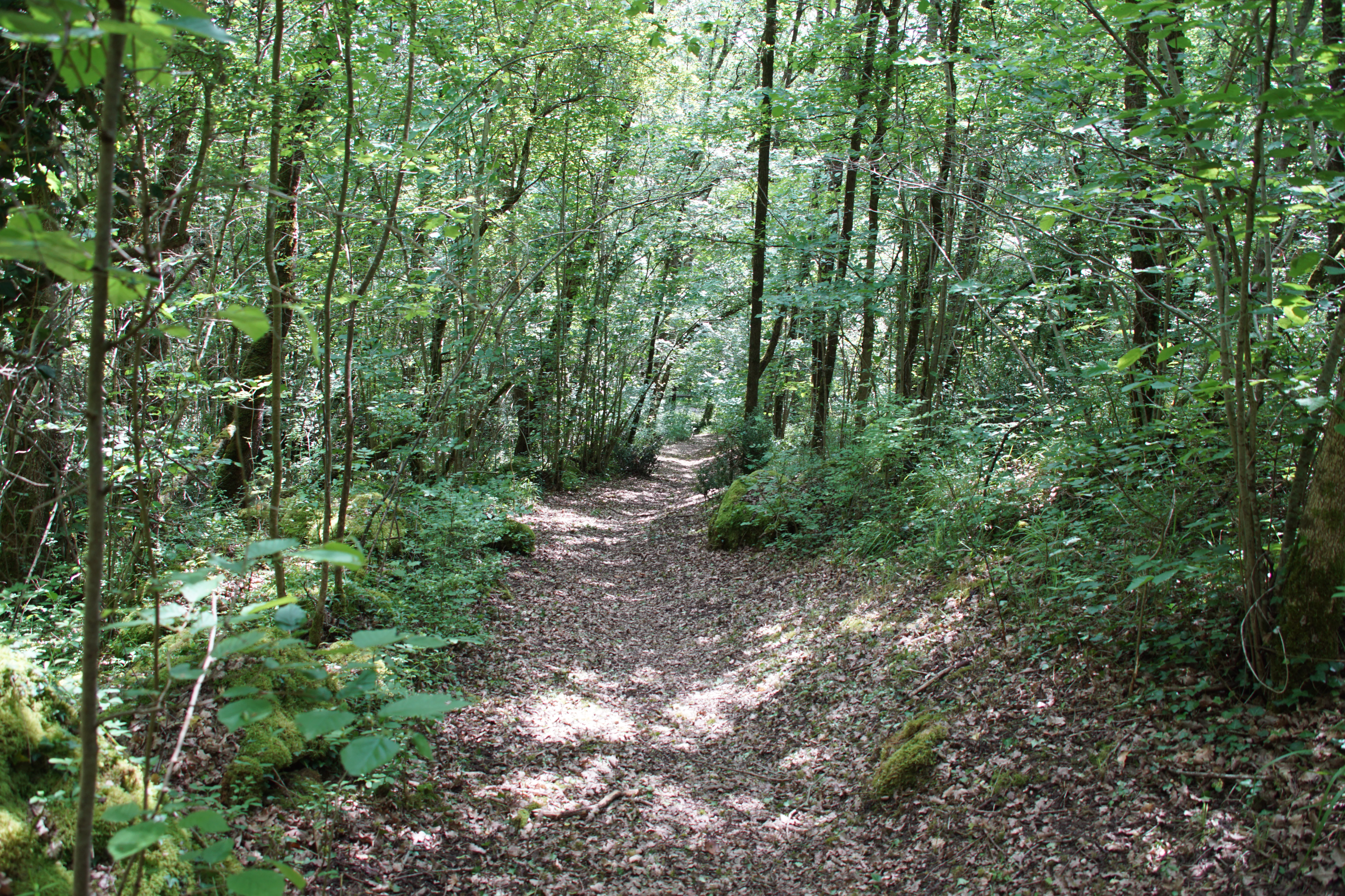
A narrow dirt trail covered in fallen leaves travels through a lush, green deciduous forest with dappled sunlight filtering through the canopy.
A shaded hiking path winds through the dense deciduous forest of the Bois des Roches regional nature reserve.

Bois des Roches Regional Nature Reserve history and protected-area timeline

The cliffs and caves of the Bois des Roches area show evidence of human occupation stretching back to the Upper Paleolithic, between roughly 60,000 and 13,000 years ago. Archaeological campaigns conducted between 1885 and 1978 documented finds across five separate sites in the reserve, giving the small protected area an unusually rich prehistoric record and providing one of the original justifications for its later formal protection.

In the modern era, the site was acquired by the Conservatoire d'espaces naturels du Centre in 1992, following growing recognition of its ecological and landscape value. Conservation management began in earnest with the creation of a voluntary nature reserve (réserve naturelle volontaire) by formal decision on 13 August 1997. Sheep grazing was introduced on approximately 0.8 hectares from the year 2000 onward, using Berrichon sheep from the Indre associated with the Parc naturel régional de la Brenne, in order to preserve the open calcareous grasslands.

The reserve gained stronger legal protection when it was reclassified as a regional nature reserve (réserve naturelle régionale) on 17 February 2012, with reference code RNN125. Since 2006, the managing conservatory has also worked with the SAFER (the French land-use agency) to acquire additional parcels around the core reserve, including buffers at the foot of the cliffs and relictual grasslands on the nearby Bois du Roi plateau, in order to strengthen the site's ecological coherence.

Bois des Roches Regional Nature Reserve landscape and geographic character

The reserve sits on the heights above the Creuse valley, on a limestone promontory that defines the local topography. Altitudes range from roughly 74 to 126 meters, with the cliffs forming the most visible element of the relief. Two principal cliff faces, both dry and south-facing, rise between about 12 and 40 meters above the surrounding terrain, their pale limestone walls cut by erosion into a network of thirty-four caves, rock shelters, and smaller cavities.

Below and between the cliffs, the terrain is a mosaic of woodland and open ground. The woodland is dominated by pubescent oak, a thermophilic species that thrives on the warm, dry limestone soils, while the open pockets of calcareous grassland sit on the most skeletal soils where ancient grazing, especially by goats, has historically kept the vegetation short. Today, the mosaic is partially maintained by managed sheep grazing, but there is a constant tension between open habitat and the encroachment of shrubs such as dogwood and blackthorn.

The reserve overlooks the Creuse valley, a broad corridor that runs at the foot of the cliffs and provides a striking backdrop for the site. The valley itself is an important landscape feature, not only visually but ecologically, functioning as a major regional corridor that links the protected areas of the Brenne plateau with riverine habitats further downstream.
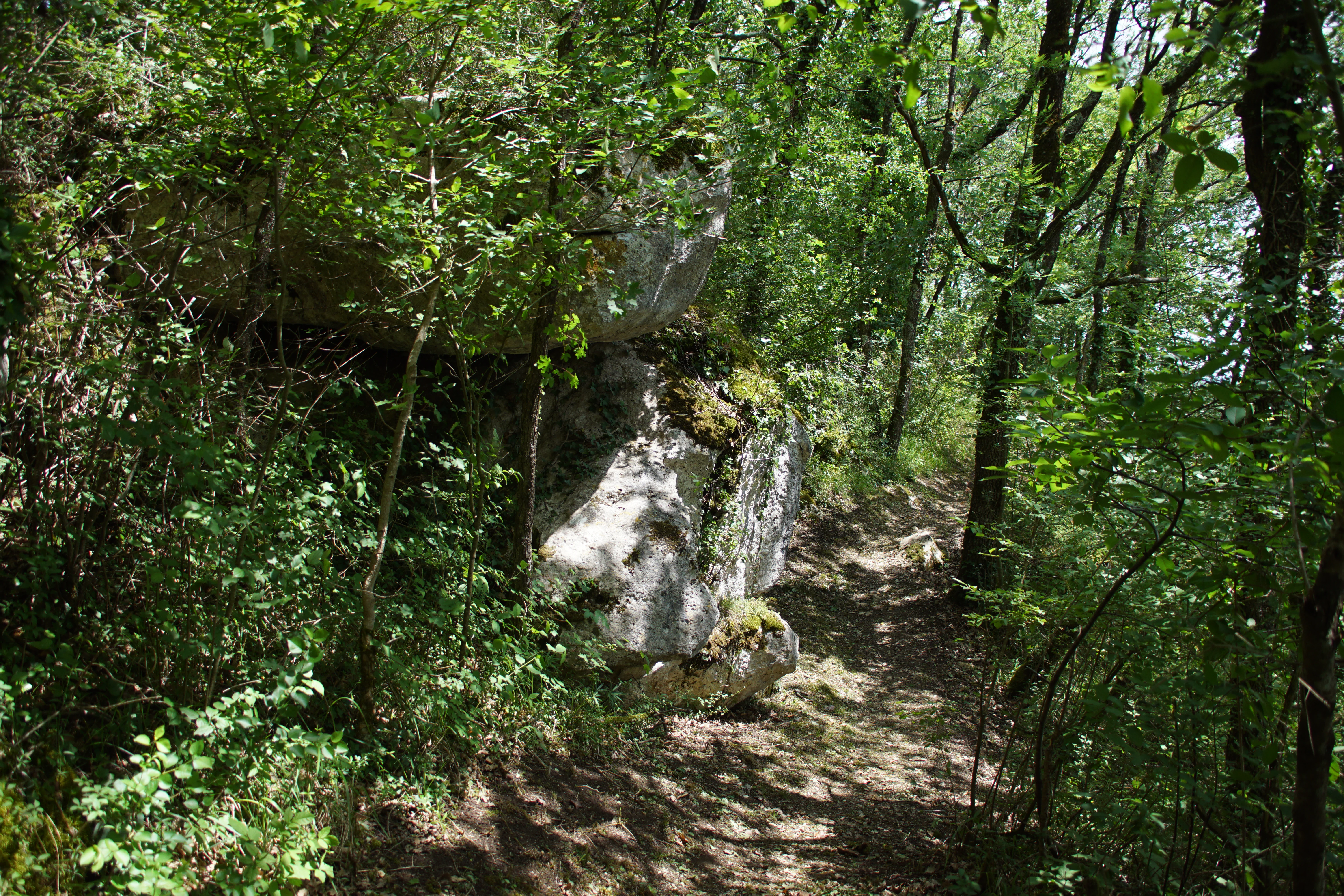
A narrow dirt trail leads through a dense deciduous forest, passing a large moss-covered limestone rock formation on the left.
A shaded woodland trail winding past limestone rock formations in the Bois des Roches Regional Nature Reserve.

Bois des Roches Regional Nature Reserve ecosystems, habitats, and plant life

The protected area functions as a compact refuge for habitats that are increasingly rare in the wider French landscape. Its core woodland habitat is thermophilic pubescent oak forest, a community adapted to dry, sun-exposed limestone soils and warm microclimates. Interspersed within this woodland are relictual patches of calcareous grassland, remnants of an older, more open grazing landscape that once covered much larger areas of the Brenne foothills.

The cliffs and their associated cavities add a distinct third dimension to the habitat mosaic. South-facing rock walls support specialized cliff flora, while cave entrances and sheltered rock overhangs harbor their own microclimates, supporting species typical of shaded, humid limestone environments. Together, these three habitats form a layered ecological system where woodland, open grassland, and rupicolous (rock-dwelling) communities meet within a very small area.

The reserve sits exactly at the boundary between the Atlantic and continental biogeographic domains, so its flora and fauna shows influences from both. The result is a species mix that includes typically southern or sub-Mediterranean thermophilic plants alongside more continental and Atlantic elements, giving the site a botanical character that stands out within the Centre-Val de Loire region.
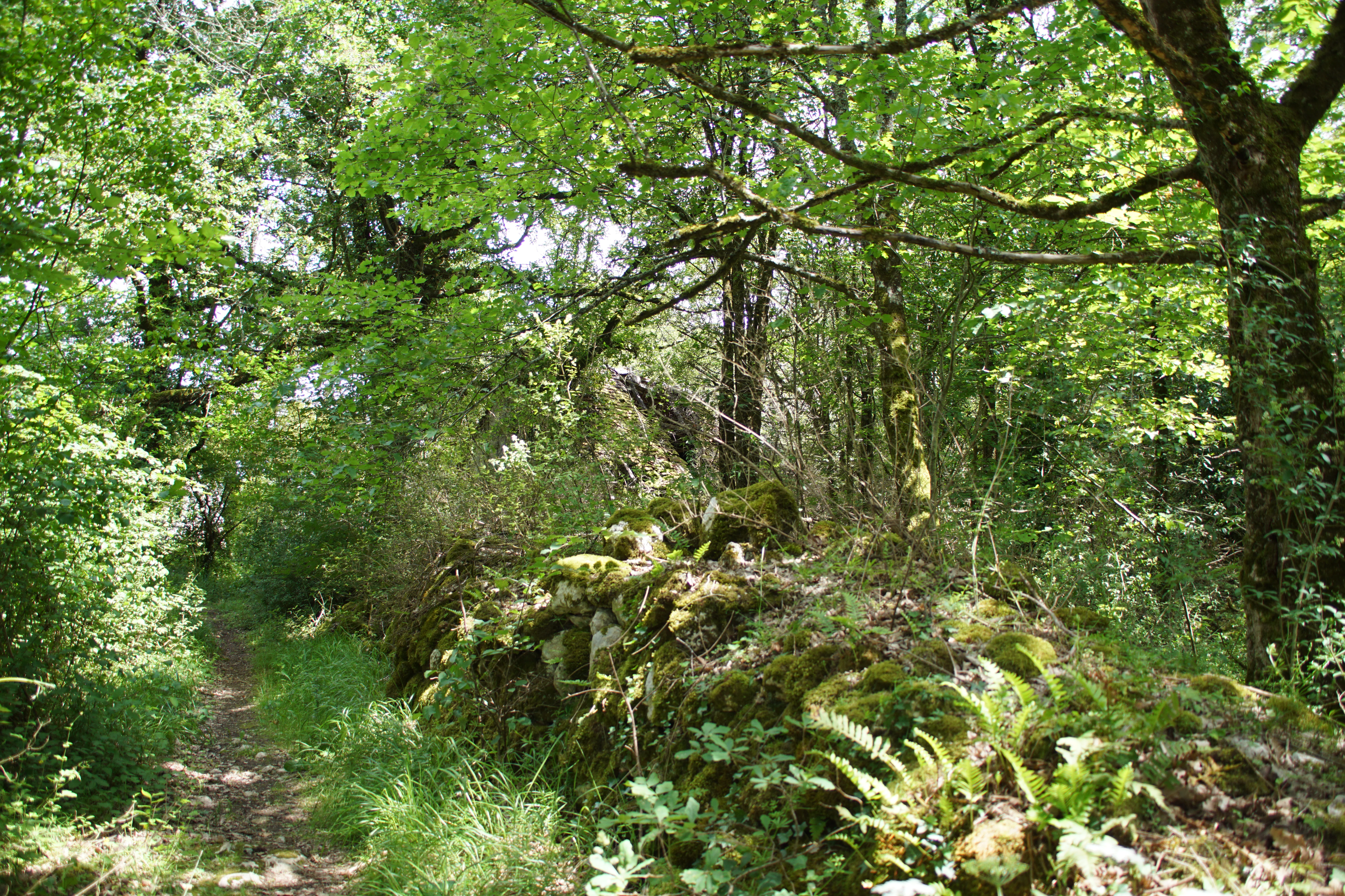
A narrow dirt path leads through a lush green deciduous forest, with a prominent moss-covered stone bank or rock formation on the right side.
A shaded forest path lined by mossy rock formations in the Bois des Roches nature reserve.

Bois des Roches Regional Nature Reserve wildlife and species highlights

Bois des Roches is, in ecological terms, a cave-fauna reserve as much as a botanical one. Its cliffs and caves host important populations of cave-dwelling mammals, especially bats. The site contains breeding and hibernating colonies of the greater horseshoe bat, and the lower Chabot cave is recognized as a site of regional importance for this species. Of even greater note is the Mediterranean horseshoe bat, a globally threatened species, which uses the site's caves as a stable autumn transit area. Surveys since 2004 have recorded a transit population of around 200 to 250 individuals in some years, representing approximately four percent of the French population, raising the possibility that the site could become nationally important for the species if breeding is confirmed.

The valley of the Creuse, which lies directly below the reserve, functions as a major corridor for larger mammals. Both the Eurasian beaver and the European otter are present along this stretch of the river, extending the reserve's reach beyond its compact boundaries through the regional ecological network.

The reserve's location on a major bird migration axis, and its proximity to the Brenne wetlands to the north, makes it attractive to a wide variety of birdlife. The combination of cliffs, woodland, and open patches of calcareous grassland creates varied feeding and nesting habitat for many species, contributing to the site's inclusion within a designated Important Bird and Biodiversity Area.
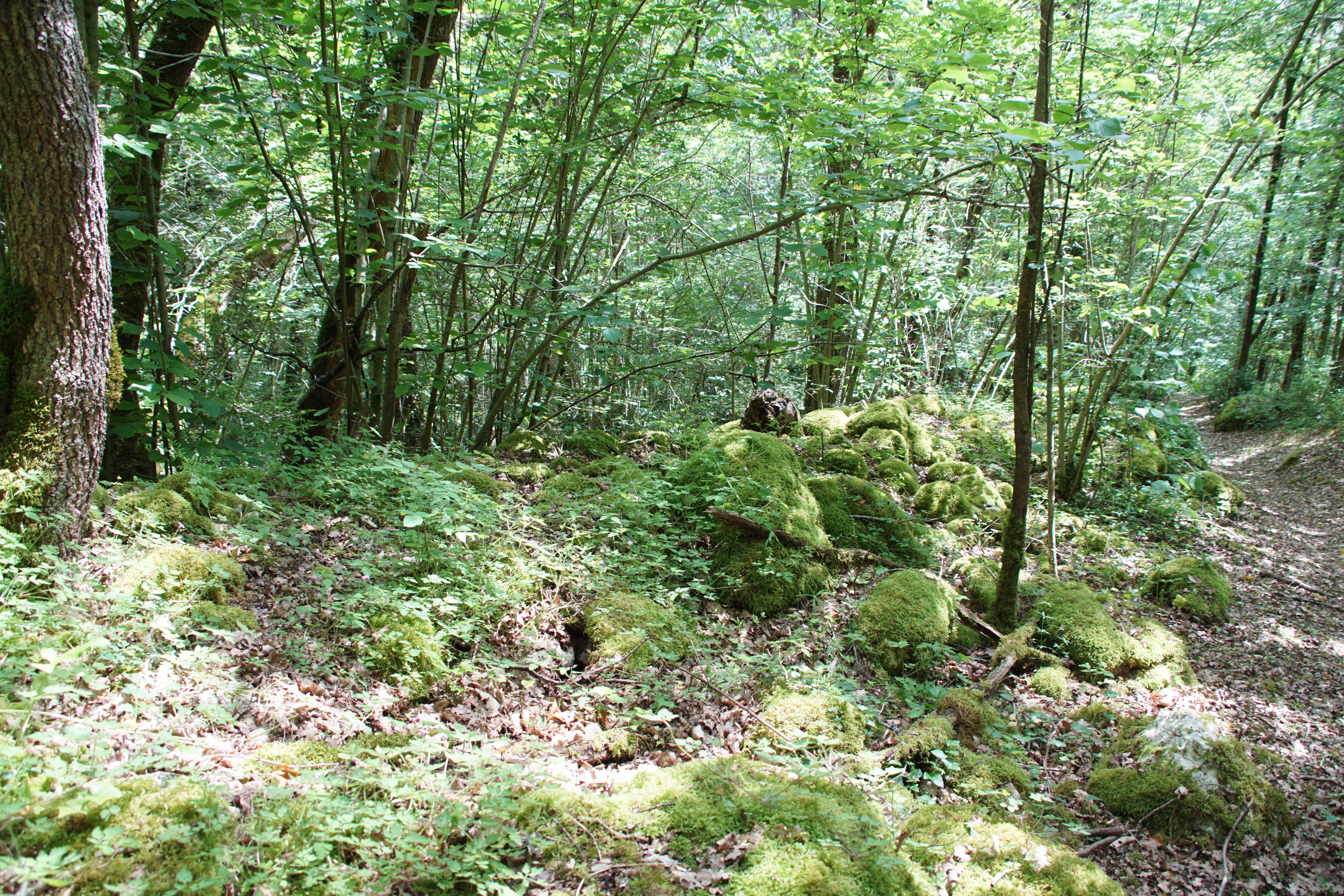
A forest floor covered with mossy rocks and a narrow dirt trail winding through a dense canopy of deciduous trees.
A shaded, moss-covered woodland scene at the Réserve naturelle régionale du Bois des Roches.

Bois des Roches Regional Nature Reserve conservation status and protection priorities

The conservation significance of Bois des Roches extends well beyond the protection of a single small site. Its limestone cliffs, thermophilic oak woodland, and relictual calcareous grasslands represent habitat types that have been heavily reduced across the broader Brenne landscape through land-use change, abandonment of traditional pastoral practices, and natural scrub encroachment. Protecting even a few hectares of these habitats in relatively good condition has therefore taken on regional importance.

The reserve is recognized within multiple complementary frameworks. It forms part of the Natura 2000 network through a Site of Community Importance covering the Creuse valley and its tributaries, and it overlaps with a ZNIEFF type 1 inventory focused on the Pelouses du Bois des Roches. It is also part of an Important Bird and Biodiversity Area. These overlapping designations reinforce the legal and ecological weight of its protection.

Active management by the Conservatoire d'espaces naturels Centre-Val de Loire is focused on keeping the open calcareous grasslands from being lost to encroachment by dogwood, blackthorn, and other shrubs. Sheep grazing, established around the year 2000, remains a central tool, though the manager has noted that goats may eventually be reintroduced to control encroachment more effectively. Tranquility around the caves, particularly the Puits cave which has historically served as a maternity roost for the Mediterranean horseshoe bat, has been a conservation priority since at least 2006, in order to safeguard the site's potential to host breeding colonies of this threatened species.

Bois des Roches Regional Nature Reserve cultural meaning and human context

The reserve carries a deep prehistoric cultural layer. Its cliffs and caves have yielded evidence of human activity dating back to the Upper Paleolithic, a span of tens of thousands of years, and systematic archaeological campaigns between 1885 and 1978 documented material across five separate sites within the present-day reserve boundary. This long record of human presence gives the place an archaeological significance that complements its natural value and was one of the historical justifications for its protection.

The landscape also reflects more recent, pre-industrial land use. The patches of calcareous grassland are relictual traces of older pastoral systems, especially goat grazing, which kept the open habitat clear before modern changes in agriculture. The continuation of low-intensity grazing, now with Berrichon sheep associated with the Parc naturel régional de la Brenne, ties today's conservation to the cultural and agricultural heritage of the region.

The Bois des Roches area sits within the broader geography of the Brenne, a region long associated with pastoral landscapes, ponds, and small-scale rural land use. The reserve's inclusion in the Parc naturel régional de la Brenne places it within a wider cultural landscape where nature protection, traditional agriculture, and rural heritage are closely interwoven.
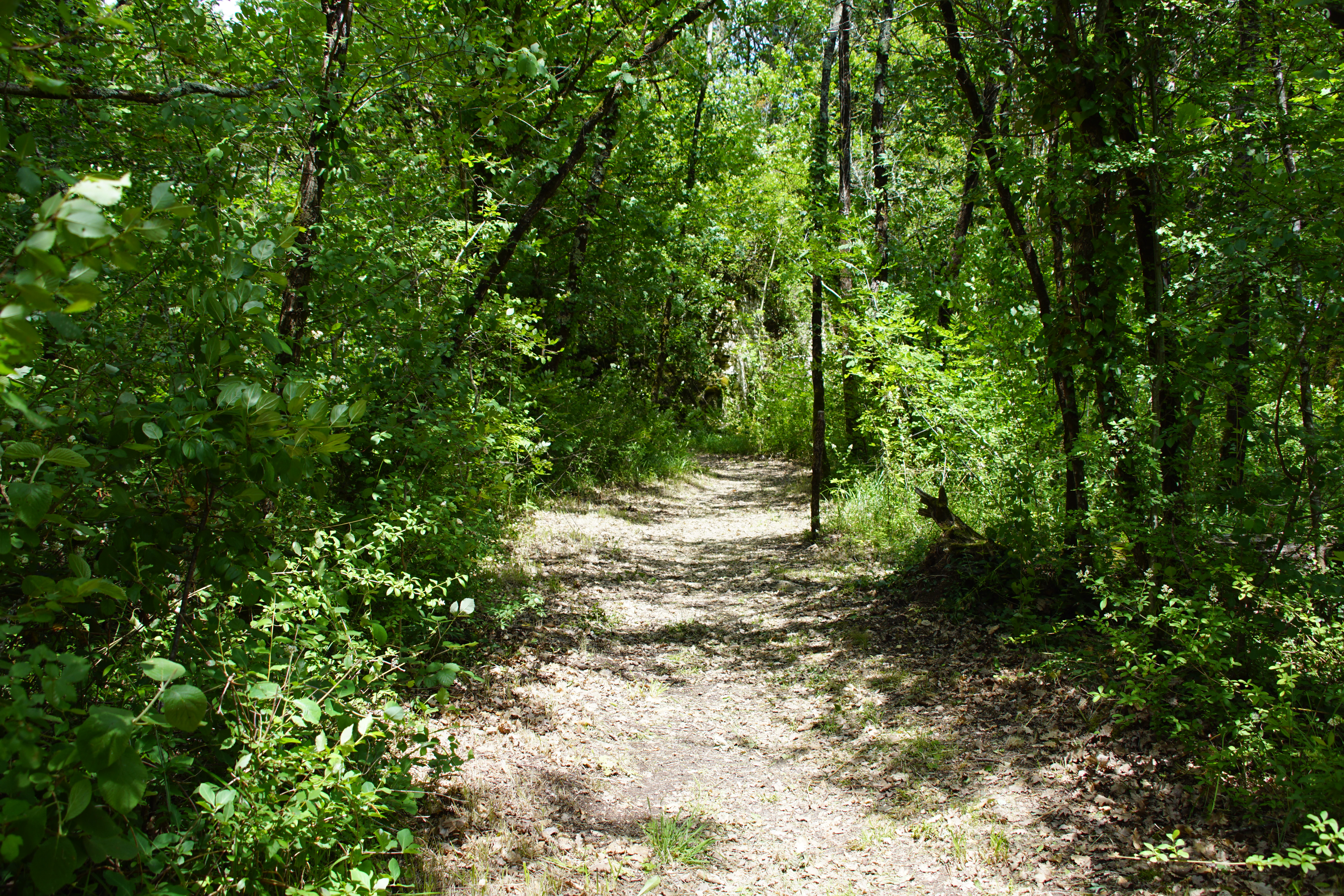
A narrow dirt trail leads into a dense, green deciduous forest with dappled sunlight filtering through the canopy.
A shaded woodland path winding through the Réserve naturelle régionale du Bois des Roches.

Top sights and standout views in Bois des Roches Regional Nature Reserve

A compact regional nature reserve of about twelve hectares above the Creuse valley, defined by tall south-facing limestone cliffs with thirty-four caves supporting important bat colonies, including a transit population of the globally threatened Mediterranean horseshoe bat.

The site combines thermophilic pubescent oak woodland with relictual calcareous grasslands, supports more than 350 plant species including several protected and rare taxa, and is recognized through overlapping Natura 2000, ZNIEFF, and Important Bird and Biodiversity Area designations. Its documented Upper Paleolithic human occupation and ongoing archaeological heritage add a distinctive cultural dimension to its natural significance.
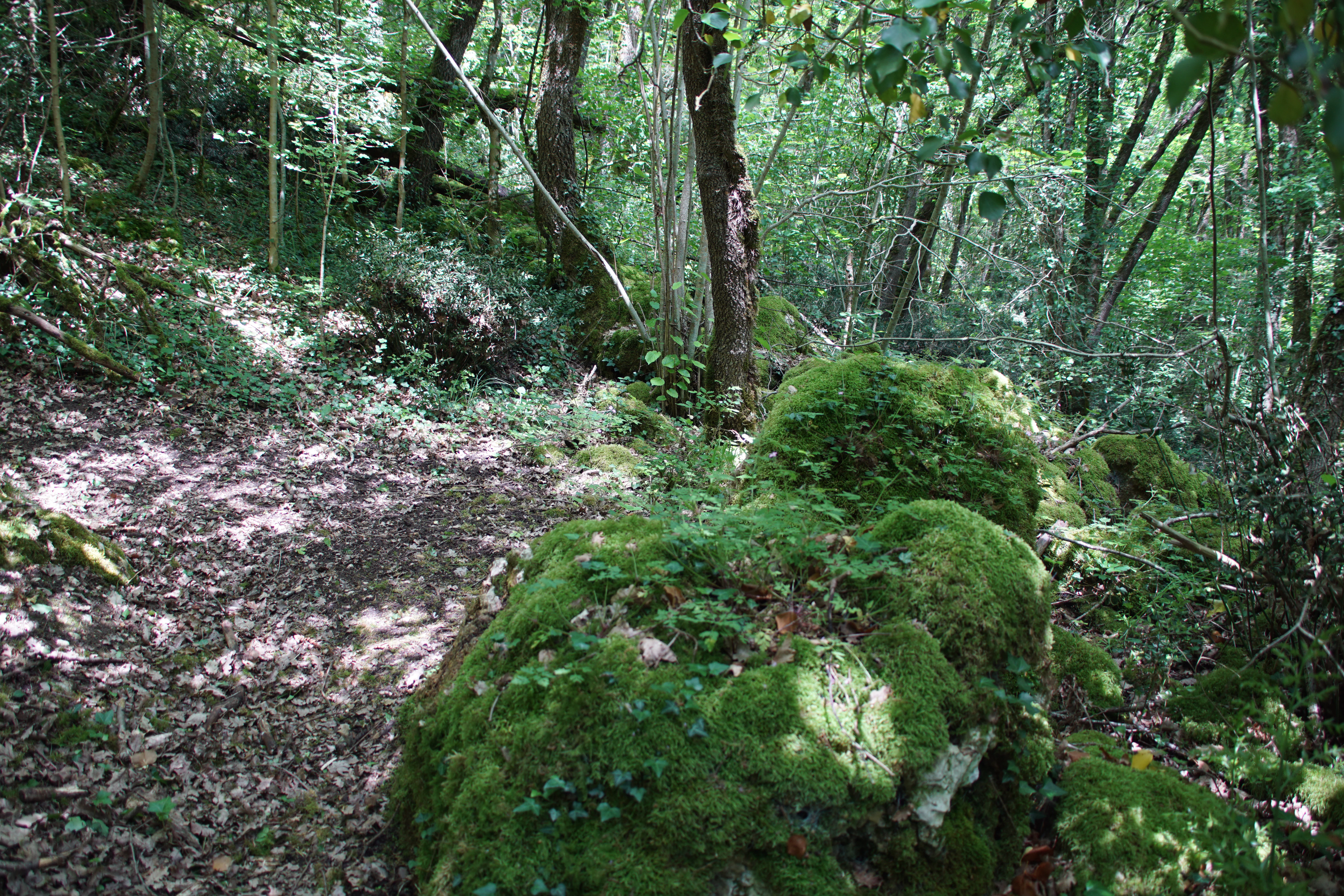
A path winds through a dense green forest, with large moss-covered boulders bordering the trail.
A shaded forest trail lined with mossy limestone rocks in the Bois des Roches Regional Nature Reserve.

Best time to visit Bois des Roches Regional Nature Reserve

Because the reserve's conservation interest is tied to its limestone cliffs, thermophilic woodland, and open calcareous grasslands, the warmer months of late spring and summer offer the most favorable conditions for experiencing its flora and walking the maintained visitor trails. In this period, the cliff and grassland plants are at their peak, the bat caves are active, and the panoramic views over the Creuse valley toward the commune of Sauzelles are at their clearest.

Autumn and winter bring a quieter atmosphere, with the deciduous oak woodland losing its leaves and revealing more of the cliff structure, and the bat population shifting into hibernation behavior in the caves. Cooler months may also suit visitors seeking a calmer, less frequented experience of the site, given that the manager has identified over-visitation as a pressure to monitor.
Monthly climate preview

Long-term temperature ranges and monthly precipitation recorded at representative park coordinates

Réserve naturelle régionale du Bois des Roches Climate Normals and Annual Weather Patterns

Measured temperature and precipitation records reveal long-term monthly averages across the representative coordinate at Réserve naturelle régionale du Bois des Roches. Detailed climate normals provide a complete twelve-month statistical baseline for analyzing annual thermal and moisture cycles.
Annual mean11 °C
4 °C21 °C
Jan
Feb
Mar
Apr10°
May14°
Jun18°
Jul20°
Aug21°
Sep17°
Oct12°
Nov
Dec
Warmest month
August

20.7 °C

Coolest month
January

3.6 °C

Wettest month
November

2.6 mm/day

Driest month
August

1.8 mm/day

Park location guide

Geography guide, regional context, and park location map for Bois des Roches Regional Nature Reserve

Bois des Roches Regional Nature Reserve park geography, regions, and map view in France

Understand where Bois des Roches Regional Nature Reserve sits in France through a broader geographic reading of the surrounding landscape, nearby location context, and its mapped position within the national park landscape.

How Bois des Roches Regional Nature Reserve fits into France

France is a unitary semi-presidential republic and one of the world's largest economies. It borders Belgium, Luxembourg, Germany, Switzerland, Italy, Monaco, Andorra, and Spain, with a maritime border to the United Kingdom. The country is known for its cultural influence, art, cuisine, and political history spanning centuries.

Wider geography shaping Bois des Roches Regional Nature Reserve in France

France is located in Western Europe. Metropolitan France extends from the Rhine to the Atlantic Ocean and from the Mediterranean Sea to the English Channel and North Sea. The country borders Belgium, Luxembourg, Germany, Switzerland, Italy, Monaco, Andorra, Spain, and has a maritime border with the United Kingdom.

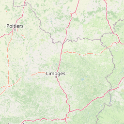
Map view of Bois des Roches Regional Nature Reserve

Use this park location map to pinpoint Bois des Roches Regional Nature Reserve in France, understand its exact geographic position, and read its mapped placement within the surrounding landscape more clearly.

Pigeon | © OpenStreetMap contributors

Location context for Bois des Roches Regional Nature Reserve

Centre-Val de Loire

Explore the limestone cliffs, oak woodlands, and protected habitats of the reserve

Réserve naturelle régionale du Bois des Roches Photos and Visual Landscape Scenery

Visual records illustrate the rugged limestone topography, caves, and thermophilic oak woodlands defining Réserve naturelle régionale du Bois des Roches. Examining these protected landscapes reveals the distinct terrain and habitat mosaics characterizing the Creuse valley ecosystem.

A narrow dirt trail covered in fallen leaves travels through a lush, green deciduous forest with dappled sunlight filtering through the canopy.

A high angle view overlooking a quiet river snaking through green meadows, surrounded by dense forests and a small village in the distance.

A narrow dirt trail leads through a dense deciduous forest, passing a large moss-covered limestone rock formation on the left.

A narrow dirt path leads through a lush green deciduous forest, with a prominent moss-covered stone bank or rock formation on the right side.

A forest floor covered with mossy rocks and a narrow dirt trail winding through a dense canopy of deciduous trees.

A green and white information sign for the Réserve naturelle régionale du Bois des Roches on a wooden post beside a dirt trail in a forest.

A narrow dirt trail leads into a dense, green deciduous forest with dappled sunlight filtering through the canopy.

A path winds through a dense green forest, with large moss-covered boulders bordering the trail.

Park atlas

Compare regional limestone terrain, river corridors, and connected conservation zones across central France

Parks Near Réserve naturelle régionale du Bois des Roches and Surrounding Protected Areas

Browsing other protected areas near Réserve naturelle régionale du Bois des Roches reveals shared ecological corridors and distinct regional landscapes. Comparing adjacent valley reserves and woodland habitats provides broader geographic context for central France conservation zones.
Nature reserveCentre-Val de Loire
About 17 km away#1 closest

East

Réserve naturelle régionale des terres et étangs de Brenne, Massé, Foucault Geographic Details

A managed wetland landscape in the Centre-Val de Loire

Analyze the terrain of the Réserve naturelle régionale des terres et étangs de Brenne, Massé, Foucault. This reserve showcases a dense network of freshwater ponds and diverse plant communities, including rare species like the marsh gentian, across a finely textured wetland environment in central France.

Area
3.19 km²
Established
2014
IUCN
IV
Relief
Lowland
A soft watercolor painting of a calm pond surrounded by green grasses, shrubs, and rolling hills in the background.
Nature reserveNouvelle-Aquitaine
About 37 km away#2 closest

West

Réserve naturelle nationale du Pinail: Protected Pond and Heathland Mosaic in Nouvelle-Aquitaine

Mapped geography of a unique French nature reserve

Located in the Nouvelle-Aquitaine region, Réserve naturelle nationale du Pinail preserves a rare cultural-ecological landscape. The site features an extraordinary concentration of three thousand small acidic ponds created by medieval millstone quarrying, now surrounded by protected heather and dwarf gorse heathland. This structured overview highlights the terrain, habitat connectivity, and regional importance of this internationally recognized Ramsar wetland site.

Area
1.35 km²
Established
1980
IUCN
IV
Relief
Lowland
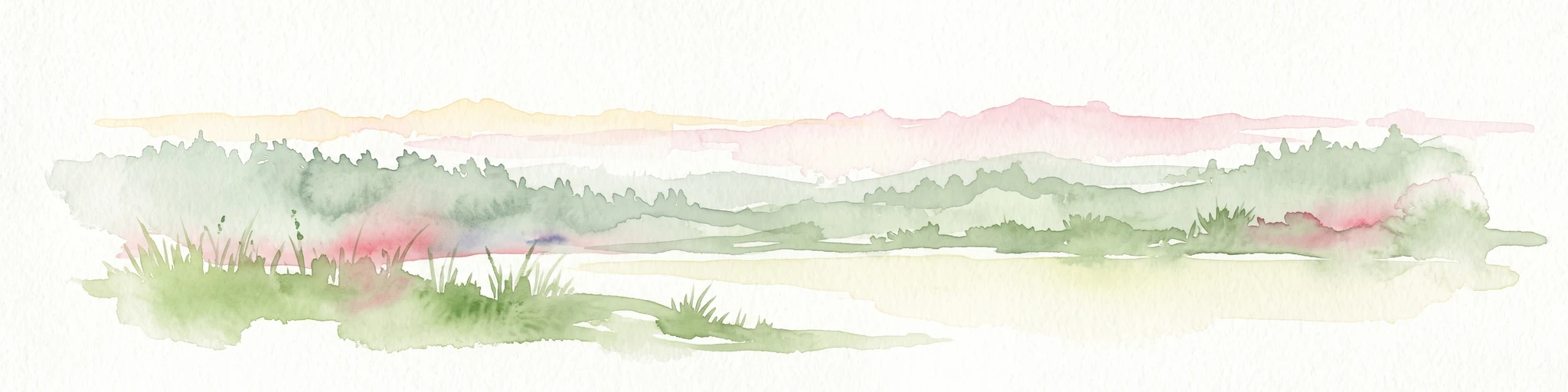
A soft watercolor painting of a serene natural landscape with rolling hills, a calm body of water, and forested ridges under a pastel sky.
Nature reserveFrance
About 42 km away#3 closest

West

Réserve naturelle régionale du site de Saint-Cyr: Wetland Geography and Protected Landscapes

Mapping a 39-hectare wetland refuge along the Clain river in France.

Located in the Vienne department, this regional nature reserve provides a critical link for waterbirds moving between the Loire valley and the Atlantic coast. The landscape features a mosaic of ponds, small islands, and alluvial forests that highlight the successful transition from former industrial quarry land into a biodiverse wetland ecosystem.

Nature reserveCentre-Val de Loire
About 80 km away#4 closest

Northwest

Marais de Taligny Regional Nature Reserve: A Protected Wetland in Centre-Val de Loire

Alluvial valley geography and restored marshland habitats

Spanning the Négron valley, this regional nature reserve serves as an vital sanctuary for alkaline fen formations and diverse aquatic species. The site provides a detailed look at the intersection of riverine drainage, alluvial woodland, and the successful ecological restoration of historical French wetland landscapes.

Area
0.354 km²
Established
2014
IUCN
IV
Relief
Lowland
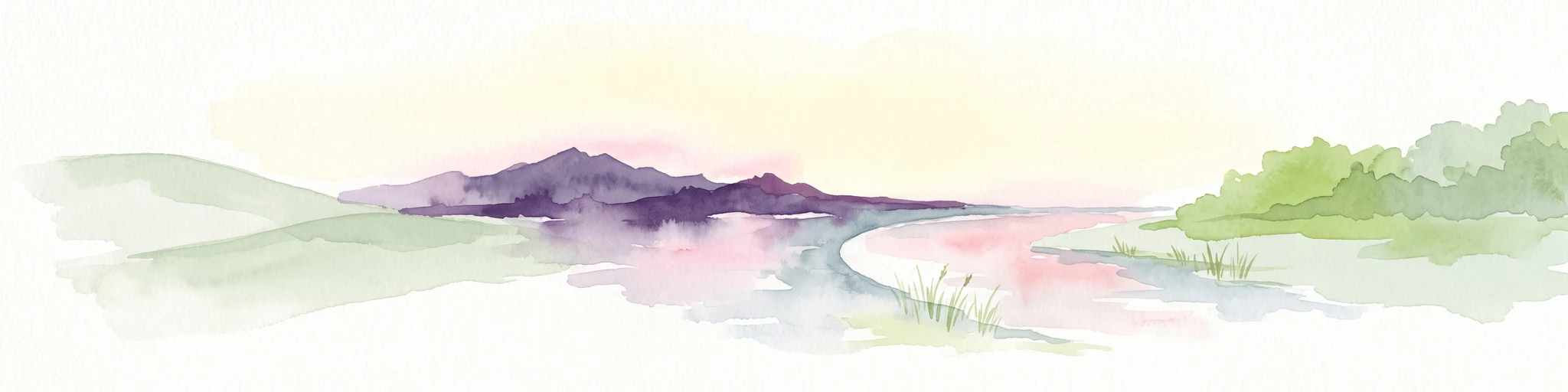
A soft watercolor painting of a natural landscape showing rolling green hills, a distant purple mountain range, and a calm body of water reflecting the light, with green foliage on the right bank.
Nature reserveNouvelle-Aquitaine
About 81 km away#5 closest

Southeast

Réserve naturelle régionale des Sauvages: Protected Landscape and Regional Geography

Mapped Habitat Mosaic in the Haute-Vienne of Nouvelle-Aquitaine

Discover the geographic composition of Réserve naturelle régionale des Sauvages, a protected nature reserve in France that integrates diverse habitats including heather-dominated moorland, peatland, beech forest, and historical ponds. This site serves as a key component of the regional conservation landscape within the Haute-Vienne.

Area
0.826 km²
Established
2015
IUCN
IV
Relief
Upland
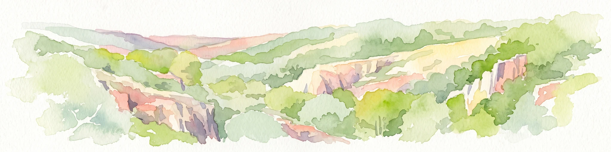
A soft watercolor painting of a rolling countryside landscape, featuring light green hills, patches of forest, and pale yellow foreground meadows.
Nature reserveCentre-Val de Loire
About 83 km away#6 closest

North

Réserve naturelle régionale géologique de Pontlevoy: Geological Protected Area and Map

A stratigraphic reference site in Centre-Val de Loire, France

Spanning less than two hectares, the Réserve naturelle régionale géologique de Pontlevoy functions as a highly concentrated outdoor laboratory for paleontology. The site protects a fossil-bearing quarry face that provides an essential cross-section of Cainozoic strata, including Beauce limestone and marine faluns dating back 14 to 16 million years.

Area
0.019 km²
Established
2011
IUCN
IV
Relief
Lowland
Nature reservePays de la Loire
About 99 km away#7 closest

Northwest

Réserve naturelle régionale Champagne de Méron: Geographic and Protected Area Overview

A regional nature reserve within the Maine-et-Loire department.

Located in the heart of the Anjou countryside, Réserve naturelle régionale Champagne de Méron represents a strategic effort to safeguard biodiversity within western France. Covering 146 hectares, this protected area illustrates the intersection of modern conservation goals and historic rural landscapes, offering a clear view of how regional authorities manage and restore fragmented natural habitats.

Area
1.461 km²
Established
2023
IUCN
IV
Scope
Terrestrial
Nature reserveNouvelle-Aquitaine
About 101 km away#8 closest

West

Réserve naturelle régionale de la vallée du Pressoir: Protected Limestone Valley and Geoheritage

A rare natural and cultural mosaic in Nouvelle-Aquitaine

Trace the boundaries and natural features of the Réserve naturelle régionale de la vallée du Pressoir. This protected site in the Deux-Sèvres department is defined by thin calcareous soils, the historic Pommiers cascade, and fossil-rich limestone outcrops that form an unusual geoheritage landscape.

Area
0.56 km²
Established
2025
IUCN
IV
Visitors
10K annual

Common questions about visiting, size, designation, and location context for Bois des Roches Regional Nature Reserve

Bois des Roches Regional Nature Reserve FAQs for park facts, access, geography, and protected area context

Find quick answers about Bois des Roches Regional Nature Reserve, including protected-area facts, park geography, trail and visitor context, and how the park fits into its surrounding country and regional landscape.
MoriAtlas Explorer

Continue Your Protected Areas Search Across the Global Atlas

Deepen your exploration by continuing the structured search for national parks and protected areas worldwide. Utilize the comprehensive filtering capabilities to compare different conservation landscapes and refine your understanding of global park geography. Discover more about the distribution and characteristics of protected natural areas.

Global natural geography