
Mori Atlas logo
Nature reserveRéserve naturelle régionale du Héron

Mapping the ecological landscape and bird sanctuary status of this Lille metropolitan reserve.

Réserve naturelle régionale du Héron: An Essential Wetland Protected Area in Hauts-de-France

The Réserve naturelle régionale du Héron represents a critical periurban conservation zone within the Métropole européenne de Lille. Spanning the eastern margins of Lac du Héron, this protected landscape sustains a mosaic of reedbeds, wet meadows, and woodlands that provide a major stopover for migratory birds. This geography-focused profile illustrates the site's role as a regional refuge near Villeneuve-d'Ascq and Forest-sur-Marque.

regional nature reservewetlandlakeornithologybirdwatchingmigratory birds
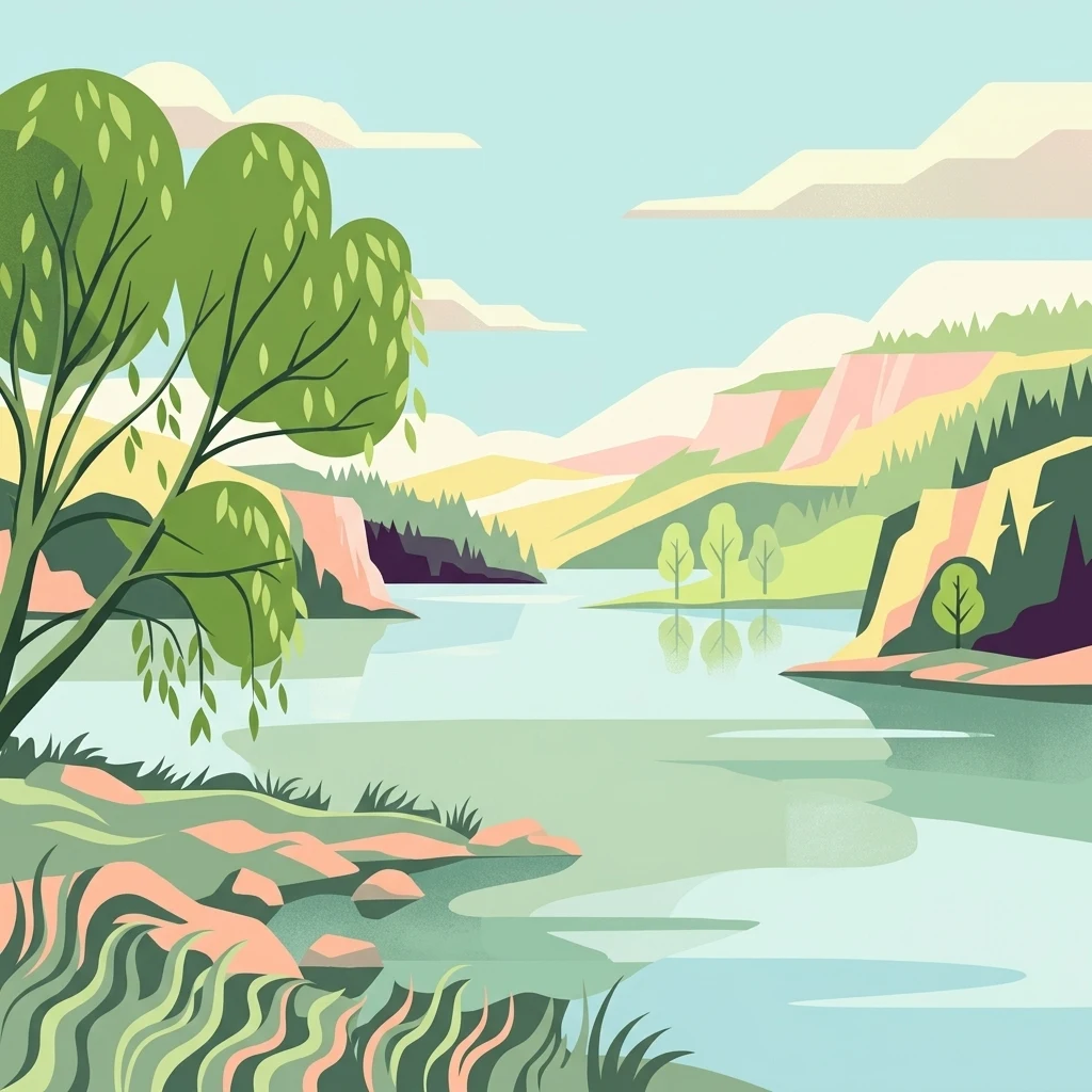
A flat-style digital illustration of a calm lake flanked by rocky hills, trees, and shoreline vegetation under a pale sky.

Réserve naturelle régionale du Héron

Nature reserve

Park overview

Structured park overview, official facts, and landscape profile for Réserve naturelle régionale du Héron

Réserve naturelle régionale du Héron park facts, protected area profile, and essential visitor context

Review the core facts for Réserve naturelle régionale du Héron, including designation, size, terrain, visitor scale, habitats, and operating context in one park-focused overview.

About Réserve naturelle régionale du Héron

The Réserve naturelle régionale du Héron occupies a discrete portion of the larger Parc du Héron, one of the principal green spaces of the Lille metropolitan area. It lies on the eastern flank of this park, extending over about 73 hectares of lake, wetland margins, woodland patches, and meadow edges. Although located close to dense urban development, the reserve functions as a refuge for biodiversity and a quiet counterpoint to the surrounding built environment of Villeneuve-d'Ascq and Forest-sur-Marque.

Formally classified on 6 February 2012 by the Conseil régional under France's regional nature reserve framework, the site has a continuous conservation history stretching back to 1995, when it was first recognized as a voluntary nature reserve. This two-step progression, from voluntary to formal regional protection, reflects both the site's recognized ecological value and the willingness of the local metropolitan authority to consolidate long-term protection over an important urban-proximate green space.

Today the reserve is administered by the Syndicat Mixte Espace Naturel Lille Métropole, an intercommunal structure responsible for managing natural areas across the metropolis. The management approach aims to balance habitat protection, particularly for birds and amphibians, with regulated public access through a marked trail called the Parcours du Héron. As one of the more compact yet ecologically active regional nature reserves in northern France, it illustrates how periurban wetlands can retain significant ecological functions despite being surrounded by urban land use.

Quick facts and research context for Réserve naturelle régionale du Héron

The Réserve naturelle régionale du Héron is a regional nature reserve (RNR) covering approximately 73.2 hectares within the Parc du Héron in the Nord department of Hauts-de-France, France. It was first designated as a voluntary nature reserve on 17 November 1995 and reclassified as a regional nature reserve on 6 February 2012, with an initial 10-year renewable term. The reserve is administered by the Syndicat Mixte Espace Naturel Lille Métropole and is classified under IUCN Category IV as a habitat and species management area. Its principal ecological value lies in its ornithological importance, particularly its role as a migratory stopover.

Protection and recognition

Examine the official terrestrial protection scope and documented designation records

Réserve naturelle régionale du Héron Protection Status and Designation History

Terrestrial protection status for Réserve naturelle régionale du Héron records a formal designation year of 2012 within the global WDPA registry. Verified conservation records assemble documented protection metrics and official administrative recognition details for atlas analysis.

Protection details

Protection scope
Terrestrial
Designated year
2012
Transboundary protection
No
WDPA ID
555559611
Park context

Deeper park guide and search-rich context for Réserve naturelle régionale du Héron

Réserve naturelle régionale du Héron history, landscape, wildlife, and travel context

Explore Réserve naturelle régionale du Héron through its history, landscape character, ecosystems, wildlife, conservation priorities, cultural context, and seasonal travel timing in a structured park guide built for atlas discovery and search intent.

Why Réserve naturelle régionale du Héron stands out

The reserve is best known for its ornithological interest, particularly its role as a staging site for migratory birds along the northern French flyways. Its central feature, the Lac du Héron, attracts waterfowl such as swans and provides habitat for the gray heron, for which the site is named. The combination of lake, wetland margins, and adjacent woodland within an urban-adjacent setting makes it a regionally important birding site and an accessible natural area for the Lille metropolitan population.
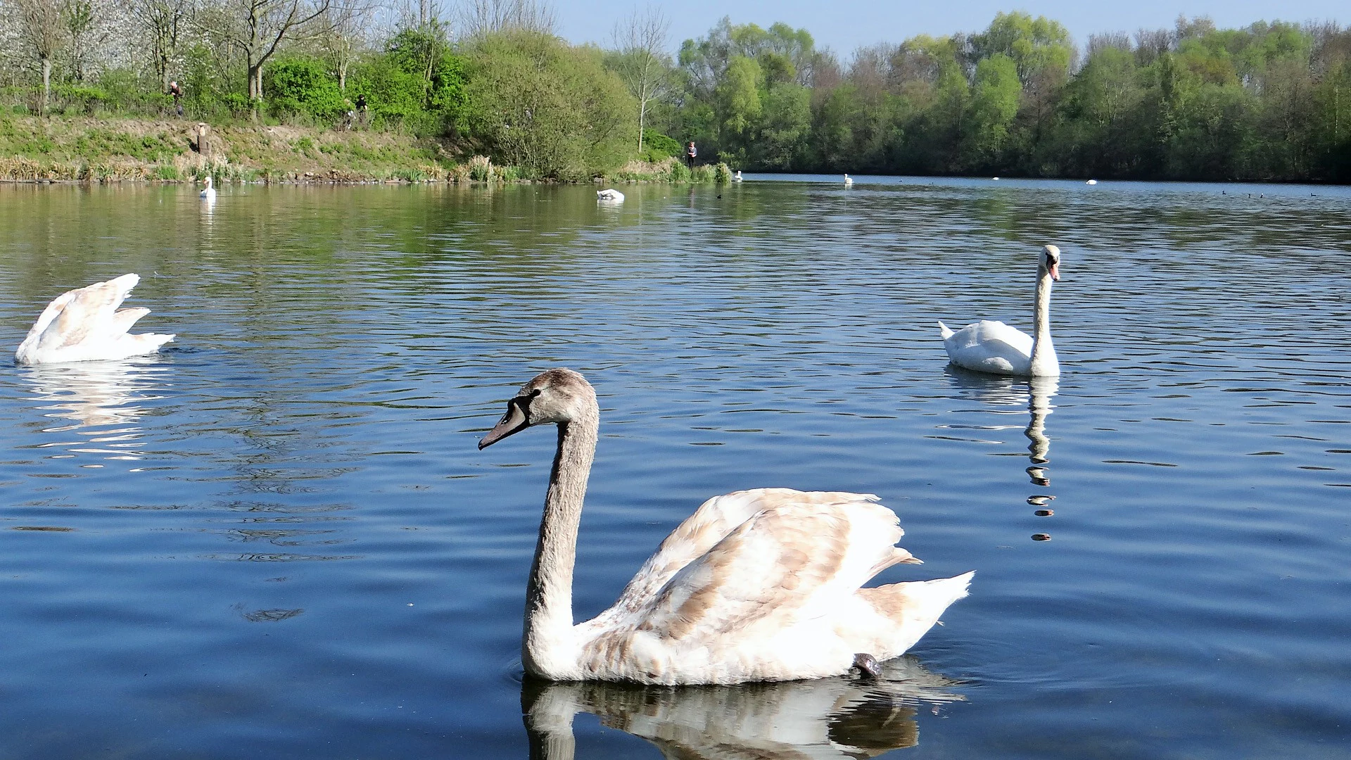
A group of white and light-brown swans swimming on a lake in the Réserve naturelle régionale du Héron, with a wooded shoreline in the background.
Mute swans swimming on the calm waters of Lac du Héron.

Réserve naturelle régionale du Héron history and protected-area timeline

The site's conservation history begins in the mid-1990s, when it received its first formal protection status as a voluntary nature reserve (réserve naturelle volontaire) on 17 November 1995. This initial designation reflected local recognition of the area's ornithological importance, particularly its value for waterbirds and migrating species using the Lac du Héron.

Nearly two decades later, on 6 February 2012, the Conseil régional du Nord-Pas-de-Calais reclassified the site as a regional nature reserve (réserve naturelle régionale), strengthening its legal protection for an initial renewable term of ten years. The transition from voluntary to regional status signaled a more durable institutional commitment and placed the site within the national framework of regional nature reserves coordinated by Réserves Naturelles de France.

Since then, the reserve has continued to be managed by the Syndicat Mixte Espace Naturel Lille Métropole, integrating the protected zone into broader metropolitan natural-area planning. The progression from voluntary protection to formal regional classification marks the key administrative milestones in the site's modern history.

Réserve naturelle régionale du Héron landscape and geographic character

The reserve's landscape is defined by the Lac du Héron, a sizeable body of open water at the heart of the Parc du Héron. Around the lake, gentle slopes give way to reed-fringed margins, wet meadows, and stands of trees that transition into denser woodland further from the shoreline. This mosaic of water, marsh, and woodland defines the reserve's ecological structure and creates the visual rhythm of the area.

Although the site occupies only a part of the broader Parc du Héron, the protected zone captures the most ecologically sensitive eastern side, including lake edges and associated wetland habitats. The terrain is generally low-lying and flat, in keeping with the broader topography of the Nord department.

From the surrounding paths, visitors encounter a layered scenery of water reflections, distant tree lines, and open meadows, with the waters of the lake serving as the central visual anchor of the entire reserve.
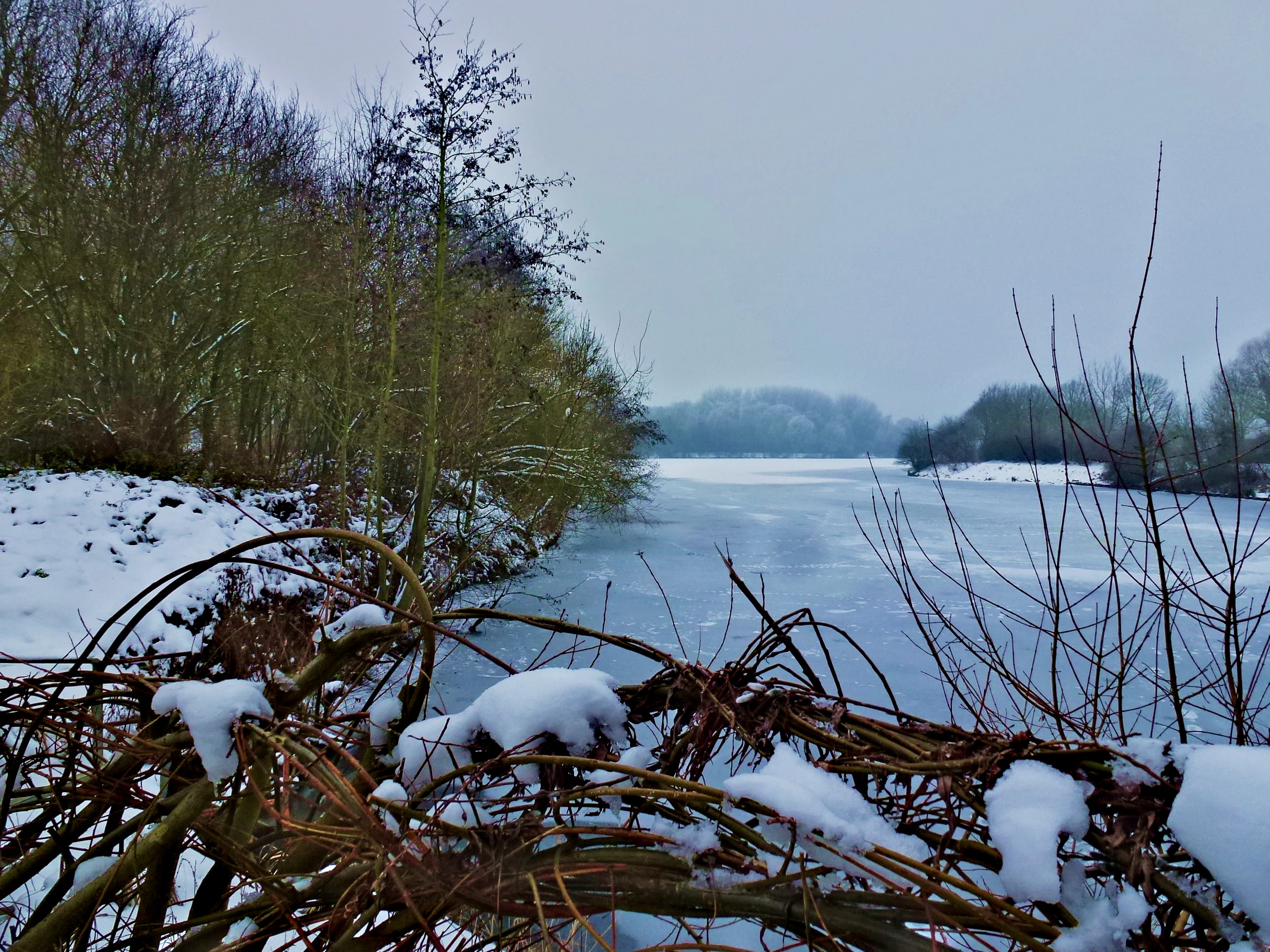
A frozen lake surrounded by snow covered banks and winter trees under a grey, overcast sky.
A wintry view of the partially frozen lake in Réserve naturelle régionale du Héron.

Réserve naturelle régionale du Héron ecosystems, habitats, and plant life

Ecologically, the Réserve naturelle régionale du Héron is dominated by wetland and lakeside habitats centered on the Lac du Héron. The lake and its surrounding reedbeds, wet grasslands, and adjoining woodland patches together form an unusually rich periurban habitat complex for a metropolitan area of Lille's size. The mosaic of aquatic, semi-aquatic, and terrestrial habitats supports a wide range of plant and animal life within a relatively compact footprint.

The flora is surprisingly diverse, with more than 300 recorded plant species, including 17 considered to be of heritage or regional conservation interest. These include wetland plants adapted to the fluctuating margins of the lake as well as meadow and woodland species in the surrounding buffer zones.

The lake's hydrology and water quality are central to the reserve's ecological identity. Management efforts focus on maintaining open water conditions and controlling invasive aquatic vegetation, which is an ongoing concern for the site's ecological balance.
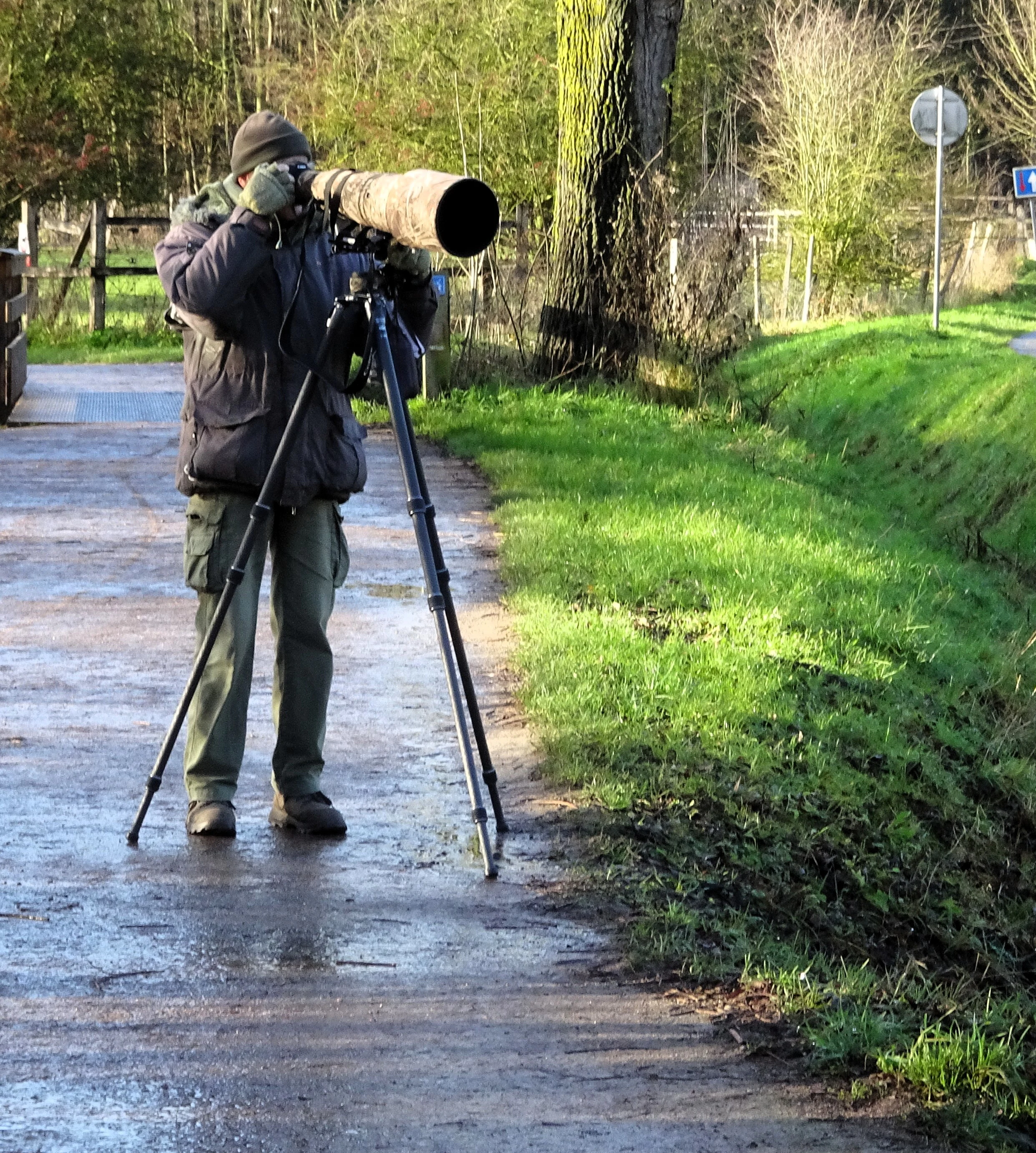
A photographer wearing a winter jacket and hat stands on a wet path, aiming a camera with a very long telephoto lens on a tripod toward the foliage.
A wildlife photographer captures nature in the Parc du Héron during winter.

Réserve naturelle régionale du Héron wildlife and species highlights

The reserve is primarily recognized for its birdlife, with more than 235 recorded bird species documented on the site. This rich avifauna reflects the reserve's strategic position along northern European migration corridors and the attractiveness of the Lac du Héron as both a feeding and resting site. Species such as the gray heron, for which the site is named, are characteristic of the reserve's shoreline, while woodland and meadow areas support typical songbird assemblages of the Hauts-de-France region.

In addition to resident and breeding birds, the reserve functions as an important migratory stopover, providing seasonal refuge for waterfowl and other passing species. Swans and other waterbirds are regularly observed on the lake, particularly during the spring and autumn migration periods.

The reserve also supports six amphibian species and around 190 insect species, contributing to its broader biodiversity value. Wetland-dependent invertebrates are especially important for the food web supporting the site's bird populations.
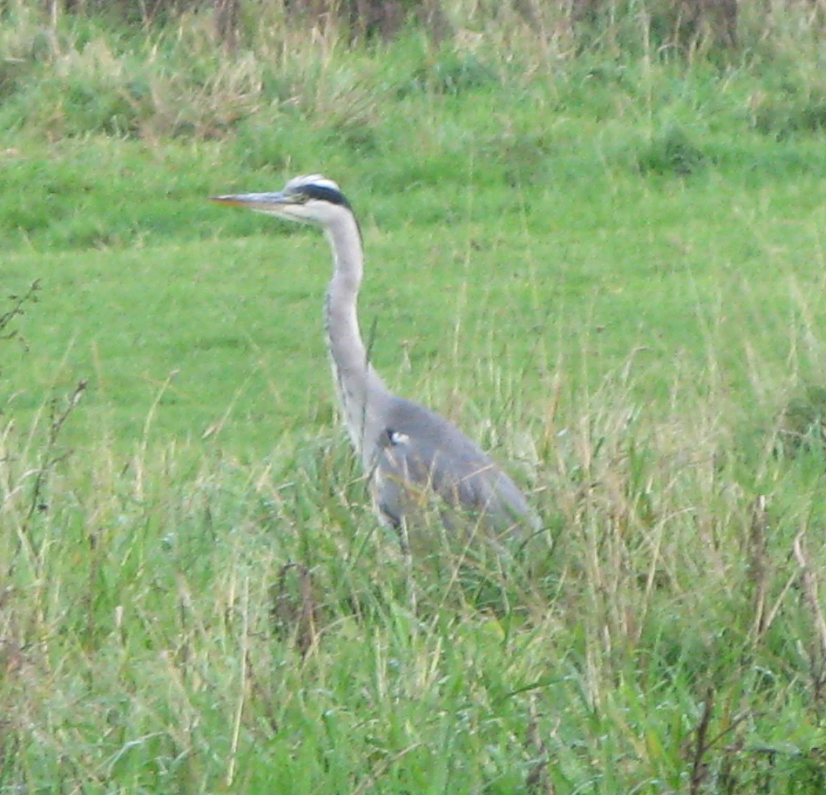
A grey heron standing in a field of tall green grass.
A grey heron, the namesake species of the Réserve naturelle régionale du Héron, standing in tall grass.

Réserve naturelle régionale du Héron conservation status and protection priorities

From a conservation perspective, the reserve is significant as a periurban refuge for wetland-dependent wildlife within a densely populated metropolitan area. Its formal classification as a regional nature reserve under IUCN Category IV reflects its function as a habitat and species management area rather than a strictly wilderness preserve. The protection framework provides durable legal guarantees against damaging land-use change across its 73 hectares.

The reserve's main conservation priorities revolve around maintaining waterbird habitat quality, preserving floristic diversity, and managing invasive species. Aquatic invasive plants, particularly Nuttall's waterweed and spirogyra algae, are recognized as ongoing threats to the ecological balance of the Lac du Héron, requiring active monitoring and management interventions.

By integrating ecological protection with light public access through the Parcours du Héron trail, the reserve also contributes to conservation awareness and education in the Lille metropolitan area, demonstrating how urban-adjacent nature sites can serve both biodiversity and public engagement goals.

Réserve naturelle régionale du Héron cultural meaning and human context

The reserve forms part of the green and cultural infrastructure of the Métropole européenne de Lille, one of the major urban centers of northern France with a strong tradition of reclaiming former industrial and marshland landscapes for public use. The broader Parc du Héron, of which the reserve is a part, is a well-known local destination for walking, photography, and informal nature observation.

Local residents of Villeneuve-d'Ascq and Forest-sur-Marque have come to associate the reserve with seasonal natural events, including spring bird arrivals and winter waterfowl gatherings. Birdwatchers, amateur naturalists, and photographers regularly use the area, contributing to a grassroots culture of urban nature appreciation around Lille.

The site's evolution from a voluntary reserve to a formally protected regional nature reserve also reflects a broader regional trend in Hauts-de-France toward strengthening local conservation frameworks and integrating natural heritage into metropolitan planning.

Top sights and standout views in Réserve naturelle régionale du Héron

The Réserve naturelle régionale du Héron stands out for the unusually rich birdlife sustained within a compact urban-edge reserve, with more than 235 recorded bird species making it one of the most ornithologically active sites in the Lille metropolitan area. The Lac du Héron at its center is the principal ecological anchor, supporting waterbirds such as swans and the gray heron that gives the site its name.

Equally notable is the site's accessibility. Unlike more remote nature reserves, the Héron reserve is embedded within a public park system, allowing residents of Lille, Villeneuve-d'Ascq, and Forest-sur-Marque to encounter wetland habitats and migratory birds within minutes of dense urban neighborhoods, with the Parcours du Héron trail providing a structured way to experience the protected area.

Best time to visit Réserve naturelle régionale du Héron

The reserve is most rewarding for visitors during the spring and autumn migration seasons, when the Lac du Héron hosts a turnover of waterfowl, herons, and other migratory species. Spring brings nesting activity, vocal songbirds, and the return of swans and other waterbirds to the lake's open water. Autumn sees passage migrants stopping over to feed and rest, often in concentrations that make birdwatching particularly productive.

Winter also has its own character: the bare deciduous trees open up views across the wetland margins, making waterbirds easier to observe against the quieter scenery, while the lake's frost-free open water continues to attract waterfowl. Summer tends to be quieter in terms of visible bird activity, although insects and amphibians are more conspicuous and the lush vegetation gives the reserve a denser, greener atmosphere. Visits at any time of year benefit from the reserve's flat, easy terrain and its integration with the broader public park network.


Monthly climate preview

Long-term representative point measurements of monthly temperature and precipitation patterns

Climate Normals and Annual Temperature Rhythm for Réserve naturelle régionale du Héron

Representative coordinate records show average monthly temperatures ranging from 2.91 degrees Celsius to 18.03 degrees Celsius alongside recorded daily precipitation rates between 1.48 mm and 2.46 mm. Examining the complete twelve-month profile provides detailed meteorological context for studying long-term environmental patterns across the protected landscape.
Annual mean10 °C
3 °C18 °C
Jan
Feb
Mar
Apr
May13°
Jun16°
Jul18°
Aug18°
Sep15°
Oct11°
Nov
Dec
Warmest month
July

18 °C

Coolest month
January

2.9 °C

Wettest month
December

2.5 mm/day

Driest month
April

1.5 mm/day

Park location guide

Geography guide, regional context, and park location map for Réserve naturelle régionale du Héron

Réserve naturelle régionale du Héron park geography, regions, and map view in France

Understand where Réserve naturelle régionale du Héron sits in France through a broader geographic reading of the surrounding landscape, nearby location context, and its mapped position within the national park landscape.

How Réserve naturelle régionale du Héron fits into France

France is a unitary semi-presidential republic and one of the world's largest economies. It borders Belgium, Luxembourg, Germany, Switzerland, Italy, Monaco, Andorra, and Spain, with a maritime border to the United Kingdom. The country is known for its cultural influence, art, cuisine, and political history spanning centuries.

Wider geography shaping Réserve naturelle régionale du Héron in France

France is located in Western Europe. Metropolitan France extends from the Rhine to the Atlantic Ocean and from the Mediterranean Sea to the English Channel and North Sea. The country borders Belgium, Luxembourg, Germany, Switzerland, Italy, Monaco, Andorra, Spain, and has a maritime border with the United Kingdom.

Map view of Réserve naturelle régionale du Héron

Use this park location map to pinpoint Réserve naturelle régionale du Héron in France, understand its exact geographic position, and read its mapped placement within the surrounding landscape more clearly.

Pigeon | © OpenStreetMap contributors

Location context for Réserve naturelle régionale du Héron

Hauts-de-France
Recorded earthquake history

Explore Historical Earthquake Records for Réserve naturelle régionale du Héron

Investigate the history of seismic activity in the vicinity of this reserve through our curated catalogue of recorded events. This tool provides structured access to historical earthquake data, allowing for deeper engagement with the geography of the surrounding Hauts-de-France landscape.

Réserve naturelle régionale du Héron Earthquake History

Catalogued events

4 events

Strongest magnitude

Magnitude 3.3

Most recent event

Jul 14, 2008

This history includes earthquakes recorded inside the park or within 50 km of its borders

Visualizing lake habitats, wetlands, and northern French protected terrain

Réserve naturelle régionale du Héron Photos and Protected Landscape Scenery

Visual documentation of Réserve naturelle régionale du Héron reveals the intricate mosaic of lake waters, reed-fringed wetlands, and woodlands that define the protected landscape. Examining actual park photography helps observers understand the environmental character and terrain diversity of this urban fringe nature reserve.

A group of white and light-brown swans swimming on a lake in the Réserve naturelle régionale du Héron, with a wooded shoreline in the background.

Wide shot of a calm lake under a clear blue sky, with a leafy tree in the left foreground and dense shoreline vegetation in the background.

A frozen lake surrounded by snow covered banks and winter trees under a grey, overcast sky.

A photographer wearing a winter jacket and hat stands on a wet path, aiming a camera with a very long telephoto lens on a tripod toward the foliage.

A grey heron standing in a field of tall green grass.

Park atlas

Compare nearby wetland reserves and regional landscapes across northern France.

Exploring Parks Near Réserve Naturelle Régionale Du Héron and Surrounding Protected Areas

Browsing other protected areas near Réserve naturelle régionale du Héron reveals connected wetland habitats and regional green spaces across the Nord department. Extending the geographic comparison helps place urban fringe conservation into a broader regional network of lowland nature reserves.
Protected areaNord
20 km away#1 closest

Southeast

Vallées de la Scarpe et de l'Escaut Protected Landscape Geography and Map Context

Wetland mosaic, subsidence lakes, and river floodplains in Nord

Examine the physical geography of the Scarpe and Escaut Valleys, a premier wetland site in northern France. The protected area features a mosaic of marshes, wet meadows, and mining-subsidence lakes that provide vital habitats for migratory waterbirds and support carbon storage through rare alkaline peatlands.

Area
276.22 km²
Established
2020
Relief
Lowland
Scope
Terrestrial
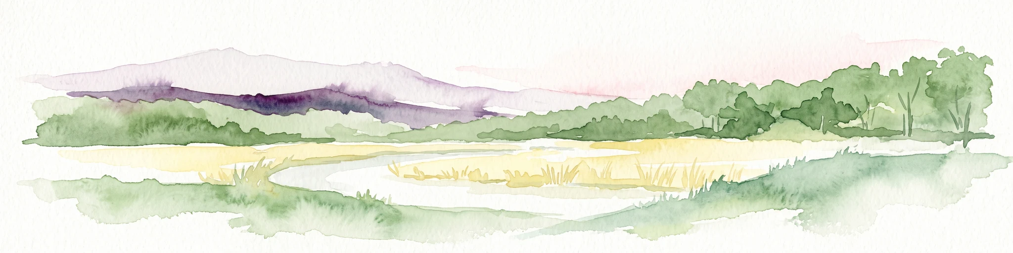
Watercolor painting of a soft, hazy landscape featuring low hills in the background and marshy wetlands in the foreground with pastel shades of green, yellow, and soft pink.
Nature reserveHauts-de-France
About 24 km away#2 closest

South

Réserve naturelle régionale du pré des Nonnettes: Regional Nature Reserve and Wetland Atlas

Alluvial marshland and hay meadow terrain in the Hauts-de-France

The Réserve naturelle régionale du pré des Nonnettes preserves a rare wet hay meadow habitat within the Marais du Vivier. Located in the lower Scarpe river valley, this nature reserve integrates marshy ground, ponds, and riparian woods to support a concentrated mosaic of wetland biodiversity. MoriAtlas provides detailed geographic context for this protected site and its significance within the larger Hauts-de-France wetland conservation network.

Area
0.173 km²
Established
2008
IUCN
IV
Relief
Lowland
Nature reserveHauts-de-France
About 25 km away#3 closest

South

Réserve naturelle régionale des Annelles, Lains et Pont Pinnet: Protected Landscape Geography

A unique biodiversity refuge in the Hauts-de-France region of France.

The Réserve naturelle régionale des Annelles, Lains et Pont Pinnet showcases a dense patchwork of 26 natural habitats across a 14-hectare expanse. Its mapped boundaries reveal a mosaic of wet marshes, coal-shale terrils, and peat-forming ecosystems that support a significant variety of amphibians, dragonflies, and metallophyte flora. This protected area offers a clear look at how industrial landscapes can transition into essential botanical refuges within the northern French coal basin.

Area
0.146 km²
Established
2010
IUCN
IV
Relief
Lowland
A panoramic watercolor painting showing a winding river in a green meadow, with a line of trees on the right and purple mountains in the background.
Nature reserveHauts-de-France
About 26 km away#4 closest

South

Réserve naturelle régionale de la tourbière de Vred: Protected Peatbog and Wetland Map

Geographic landscape in the Hauts-de-France alluvial plain

Vred Peatbog is an ecologically significant protected site in northern France, known for its floating sphagnum-bearing peat formation. The reserve contains a mosaic of managed drainage channels, reedbeds, and woodlands that provide a critical sanctuary for wetland species within the Scarpe valley landscape. This mapping data provides a detailed look at the site's unique alluvial basin and regional conservation status.

Area
0.41 km²
Established
2008
IUCN
IV
Relief
Lowland
Nature reserveHauts-de-France
About 27 km away#5 closest

South

Réserve naturelle régionale du marais de Wagnonville: Protected Wetland and Bog Geography

A resilient marshland ecosystem in the Douai urban landscape.

This reserve provides a comprehensive look at the surviving wetlands of the Escrebieux valley. Covering 20 hectares, the area hosts a dense variety of habitats from open ponds to rare sphagnum peat bogs, marking an essential node of biodiversity and ecological restoration within the northern French administrative landscape.

Area
0.2 km²
Established
1994
IUCN
IV
Relief
Lowland
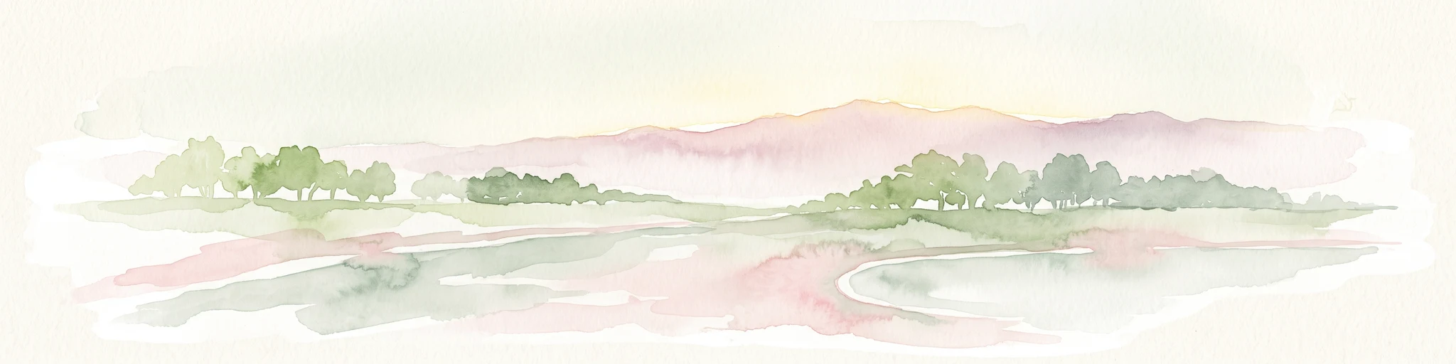
A soft watercolor painting showing a panoramic landscape with light green trees and low hills in the background, set against a pale, washed-out sky.
Nature reserveHauts-de-France
About 28 km away#6 closest

West

Réserve naturelle régionale des prés du Moulin Madame: Regional Protected Meadow Map

Riverine floodplain landscapes in the Hauts-de-France region

The Réserve naturelle régionale des prés du Moulin Madame protects an 8.52 hectare corridor along the Lys river. This site highlights the preservation of traditional flood meadows that are increasingly rare in northern France. Users can examine the park boundaries, understand the flat lowland terrain, and trace the riverine geography that defines this unique protected cultural landscape.

Area
0.085 km²
Established
2015
IUCN
IV
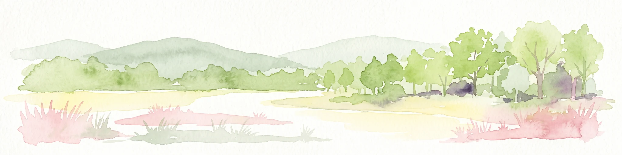
Watercolor painting of a marshy wetland landscape featuring rolling hills, green trees, and foreground grasses against a white background.
Nature reservePas-de-Calais
33 km away#7 closest

West

Marais de Cambrin, Annequin, Cuinchy et Festubert Regional Nature Reserve: Protected Wetland Atlas

Alluvial floodplains and biodiversity refuges in Pas-de-Calais

Trace the boundaries and protected features of the Marais de Cambrin, Annequin, Cuinchy et Festubert Regional Nature Reserve. This site preserves an essential mosaic of open water, peat-rich fens, and damp alluvial woods that function as a crucial nesting ground for waterfowl and a repository for rare botanical heritage in northern France.

Area
0.742 km²
Established
2009
IUCN
IV
Relief
Lowland
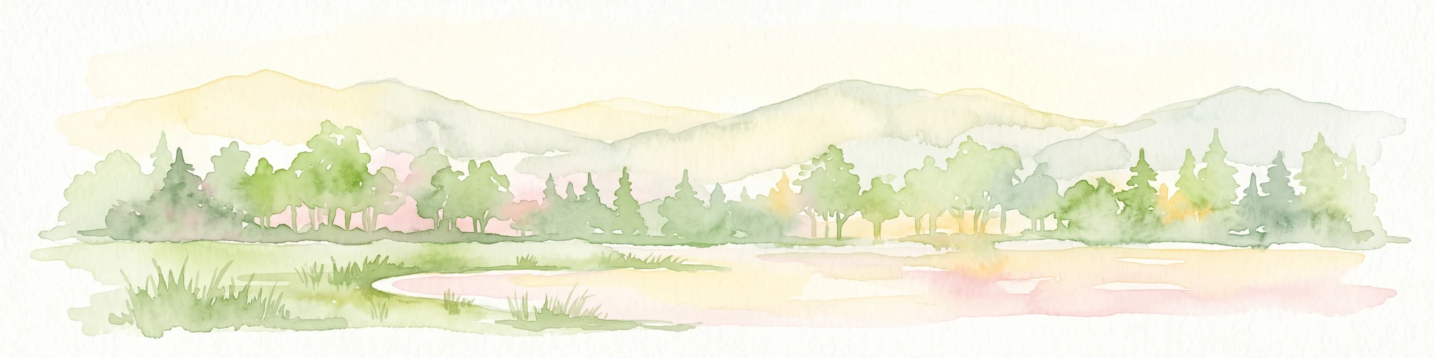
A watercolor painting of a pastoral landscape featuring a grassy foreground with a small pool of water, a line of trees, and soft hills in the background.
Protected landscapeHainaut
About 34 km away#8 closest

Southeast

Parc naturel des Plaines de l'Escaut: Geographic Overview of the Hainaut Protected Area

Scheldt valley wetlands, forested ridges, and historical landscape estates.

Located in the Hainaut province of Belgium, Parc naturel des Plaines de l'Escaut protects a complex mosaic of lowlands and heritage sites. This area integrates wetlands, heathland openings, and castle estates within a heavily humanized region. Learn about its role as a cross-border protected entity and its contribution to the pan-European ecological network through its varied terrain and water-dominated geography.

Area
465 km²
Established
1996
IUCN
V
Relief
Lowland

Common questions about visiting, size, designation, and location context for Réserve naturelle régionale du Héron

Réserve naturelle régionale du Héron FAQs for park facts, access, geography, and protected area context

Find quick answers about Réserve naturelle régionale du Héron, including protected-area facts, park geography, trail and visitor context, and how the park fits into its surrounding country and regional landscape.
MoriAtlas Explorer

Continue Your Protected Areas Search Across the Global Atlas

Deepen your exploration by continuing the structured search for national parks and protected areas worldwide. Utilize the comprehensive filtering capabilities to compare different conservation landscapes and refine your understanding of global park geography. Discover more about the distribution and characteristics of protected natural areas.

Global natural geography