
Mori Atlas logo
Nature reserveRéserve naturelle régionale du polder de Sébastopol

Mapped boundaries and landscape characteristics of a key 19th-century reclaimed wetland site.

Réserve naturelle régionale du polder de Sébastopol: A Protected Coastal Wetland Geography

(Réserve naturelle régionale du polder de Sébastopol (RNR185))

The Réserve naturelle régionale du polder de Sébastopol represents a 133-hectare protected coastal wetland situated on the eastern shore of the Île de Noirmoutier. This narrow, elongated strip of reclaimed land sits one metre above the highest tides, creating a complex mosaic of brackish habitats, drainage channels, and saltmarsh. The site serves as a vital hydrological landscape in the Pays de la Loire region, functioning as a primary refuge for waterbirds within the Vendée coastal environment.

coastal wetlandpolderisland nature reservewaterbirdsmigratory birdsbreeding birds
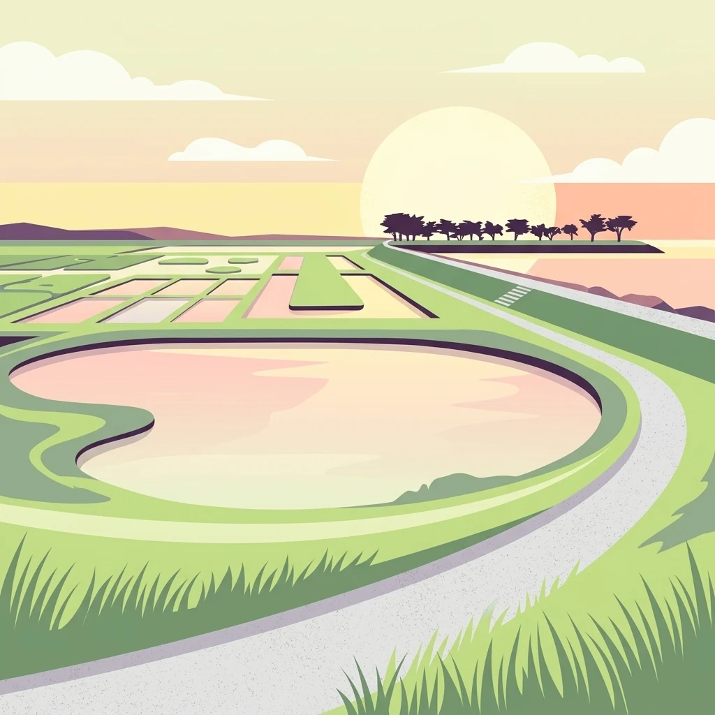
An illustration of the flat polder landscape at sunset, featuring a winding path alongside a calm pond, rectangular salt marsh beds in the distance, and a line of trees on a low embankment.

Réserve naturelle régionale du polder de Sébastopol

Nature reserve

Park overview

Structured park overview, official facts, and landscape profile for Polder de Sébastopol Regional Nature Reserve

Polder de Sébastopol Regional Nature Reserve park facts, protected area profile, and essential visitor context

Review the core facts for Polder de Sébastopol Regional Nature Reserve, including designation, size, terrain, visitor scale, habitats, and operating context in one park-focused overview.

About Polder de Sébastopol Regional Nature Reserve

The Polder de Sébastopol Regional Nature Reserve is one of the most distinctive wetland sites along the western coast of France, occupying a long, narrow band of reclaimed land on the eastern side of the Île de Noirmoutier. Although it is relatively small in size, its ecological richness, coastal setting, and heritage significance have made it an important reference point for wetland conservation in the Pays de la Loire region.

The reserve sits within a broader estuary-influenced coastal landscape shaped over centuries by human intervention, tidal dynamics, and the gradual transformation of former salt marshes into agricultural land. Today, the polder offers a unique balance between reclaimed farmland and aquatic habitat. Drainage channels, sluices, ponds, and tidal connections create a network of microenvironments with varying salinity, water depth, and vegetation cover.

From an ecological perspective, this fragmentation of conditions is exactly what gives the site its value. The mosaic of habitats supports an unusually high level of biodiversity for so compact an area, particularly for birds. During spring and summer, the reserve serves as a nesting ground for waders, terns, and gulls, while in autumn and winter it hosts large numbers of migratory and overwintering waterbirds that depend on the sheltered channels and open water.

Beyond its ecological role, the Polder de Sébastopol has gained recognition for its cultural and landscape value. Its name reflects a striking historical coincidence: the polder was drained in the year following the famous 1854-1855 Siege of Sebastopol during the Crimean War, and the new reclaimed land was named in commemoration of that event. In 2017, the ensemble formed by the polder, the iconic Passage du Gois submersible road, and the Île de la Crosnière on the mainland was officially classified as a site of national interest and heritage value, marking a first step toward possible UNESCO inscription.

Quick facts and research context for Polder de Sébastopol Regional Nature Reserve

Polder de Sébastopol Regional Nature Reserve is a 133-hectare coastal wetland reserve on the Île de Noirmoutier in the Vendée department of the Pays de la Loire region. Classified on 11 February 2008 under French regional nature reserve status with IUCN Category IV designation, it is managed by the Communauté de communes de l'Île-de-Noirmoutier.

The site covers a 600-metre-wide, 4-kilometre-long band of reclaimed polder land on the eastern coast of the island, just south of the famous Passage du Gois submersible road. The protected area supports more than 240 plant species, over 170 bird species including about 40 nesting species, more than 235 butterfly species, and around 220 spider species, across over 18 natural habitats, 13 of which are considered of European interest.

Protection and recognition

Examine documented protection parameters, management scope, and verified registry records for this protected area.

Protection Status and International Recognition for Réserve naturelle régionale du polder de Sébastopol

Analysis of Réserve naturelle régionale du polder de Sébastopol reveals structured protection status, designation history, and administrative records. Reviewing verified registry entries provides reliable context on management scope and official conservation parameters.

Protection details

WDPA ID
555559616
Park context

Deeper park guide and search-rich context for Polder de Sébastopol Regional Nature Reserve

Polder de Sébastopol Regional Nature Reserve history, landscape, wildlife, and travel context

Explore Polder de Sébastopol Regional Nature Reserve through its history, landscape character, ecosystems, wildlife, conservation priorities, cultural context, and seasonal travel timing in a structured park guide built for atlas discovery and search intent.

Why Polder de Sébastopol Regional Nature Reserve stands out

The reserve is best known for its role as a major waterbird refuge on the French Atlantic coast, providing feeding, breeding, and wintering habitat for species such as the pied avocet, common shelduck, black-winged stilt, common redshank, little tern, and Sandwich tern. Its mix of saline, brackish, and freshwater environments makes it a particularly rich area for migratory and nesting birds. It is also recognised for the unusual heritage value of its reclaimed landscape itself. The Polder de Sébastopol is a man-made wetland created in the mid-19th century through drainage works, and in 2017 it was included in a nationally classified landscape site alongside the Passage du Gois and the Île de la Crosnière, the first step toward a future UNESCO World Heritage nomination.
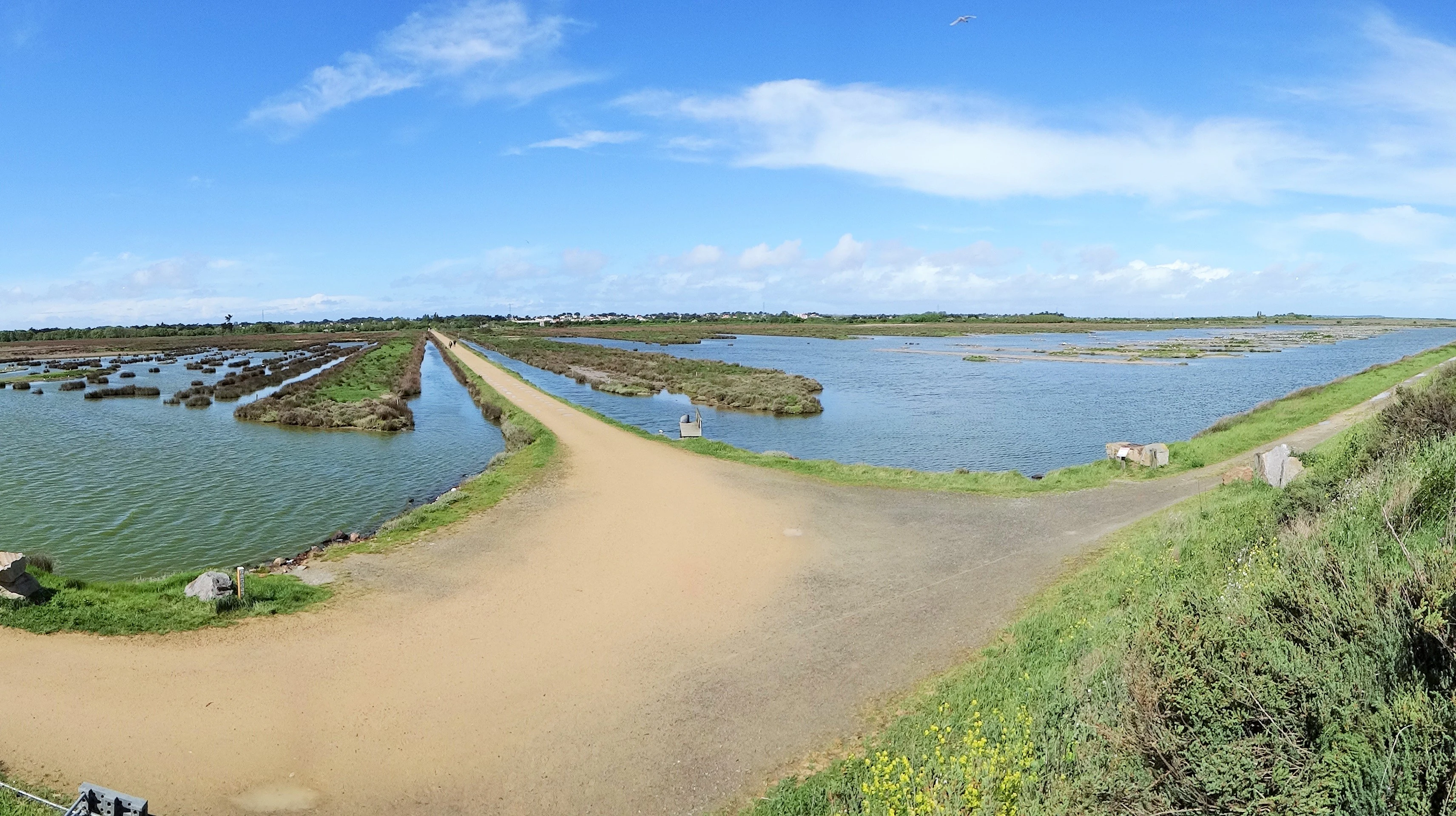
A wide-angle, slightly fish-eye view of a wetland area with a dirt path splitting through shallow ponds and low-lying marshy vegetation under a bright blue sky.
A wide view of the wetland landscape at the Réserve naturelle régionale du polder de Sébastopol.

Polder de Sébastopol Regional Nature Reserve history and protected-area timeline

The Polder de Sébastopol has a history intertwined with both human ambition to reclaim land from the sea and the eventful dynamics of the Atlantic coastline. The polder was created in the 19th century through deliberate drainage of coastal marshes for agricultural use. The land reclamation works were completed in 1856, one year after the end of the famous Siege of Sebastopol during the Crimean War, and the newly reclaimed territory was named in memory of that distant conflict.

For more than a century, the polder served mainly as cultivated farmland, protected from the ocean by a sea dike. This changed dramatically in 1978, when the dike was breached, opening the polder to tidal influence once more. Rather than rebuilding the original barrier, the site was adapted: today, the polder is connected to the ocean through a managed network of sluices and canals that control water levels and allow controlled exchanges with the sea.

This transformation from purely agricultural land back into a partially tidal wetland set the stage for ecological recovery and for a renewed appreciation of the site's natural value. By the early 21st century, recognition of the area's biological importance led to its formal protection: on 11 February 2008, the polder was classified as a Regional Nature Reserve by the Pays de la Loire region, with the Communauté de communes de l'Île-de-Noirmoutier designated as its managing authority. The reserve was created for an initial six-year term, renewable, providing a stable institutional framework for long-term conservation.

In 2017, the heritage value of the broader landscape complex linking the polder with the Passage du Gois and the Île de la Crosnière was acknowledged through official classification as a site of national interest and heritage significance, an important preliminary step toward a potential future inscription on the UNESCO World Heritage List.

Polder de Sébastopol Regional Nature Reserve landscape and geographic character

The landscape of the Polder de Sébastopol is shaped almost entirely by the interplay between human-engineered land reclamation and the persistent influence of the Atlantic Ocean. The reserve takes the form of a long, narrow ribbon of coastal land stretching roughly four kilometres along the eastern shore of the Île de Noirmoutier, with an average width of about 600 metres. This elongated shape reflects the original drainage geometry of the 19th-century polder, which was designed to maximise usable farmland from former saltmarsh.

Topographically, the polder sits very low, approximately one metre above the level of the highest tides. This slight elevation above sea level, combined with the breached dike and the network of sluices, gives the area a constantly shifting balance between dry land and water. Drainage channels, ponds, shallow basins, and marshy edges create a layered landscape that alternates between open water, reed beds, saltmarsh patches, and drier cultivated sections.

The dominant visual features are the broad open skies, the flat horizontal geometry of polder fields, and the surrounding dike that still marks the historic edge of human reclamation. To the north, the polder lies close to the Passage du Gois, the famous submersible causeway that connects the island to the mainland, while to the south the scenery gradually transitions into the more developed coastal landscapes of Barbâtre. Inland, the polder is bordered by the rural landscape of the Île de Noirmoutier, with traditional farmlands and small villages. The result is a calm, expansive seascape where water, sky, and low marshland horizons define the visual identity of the site.
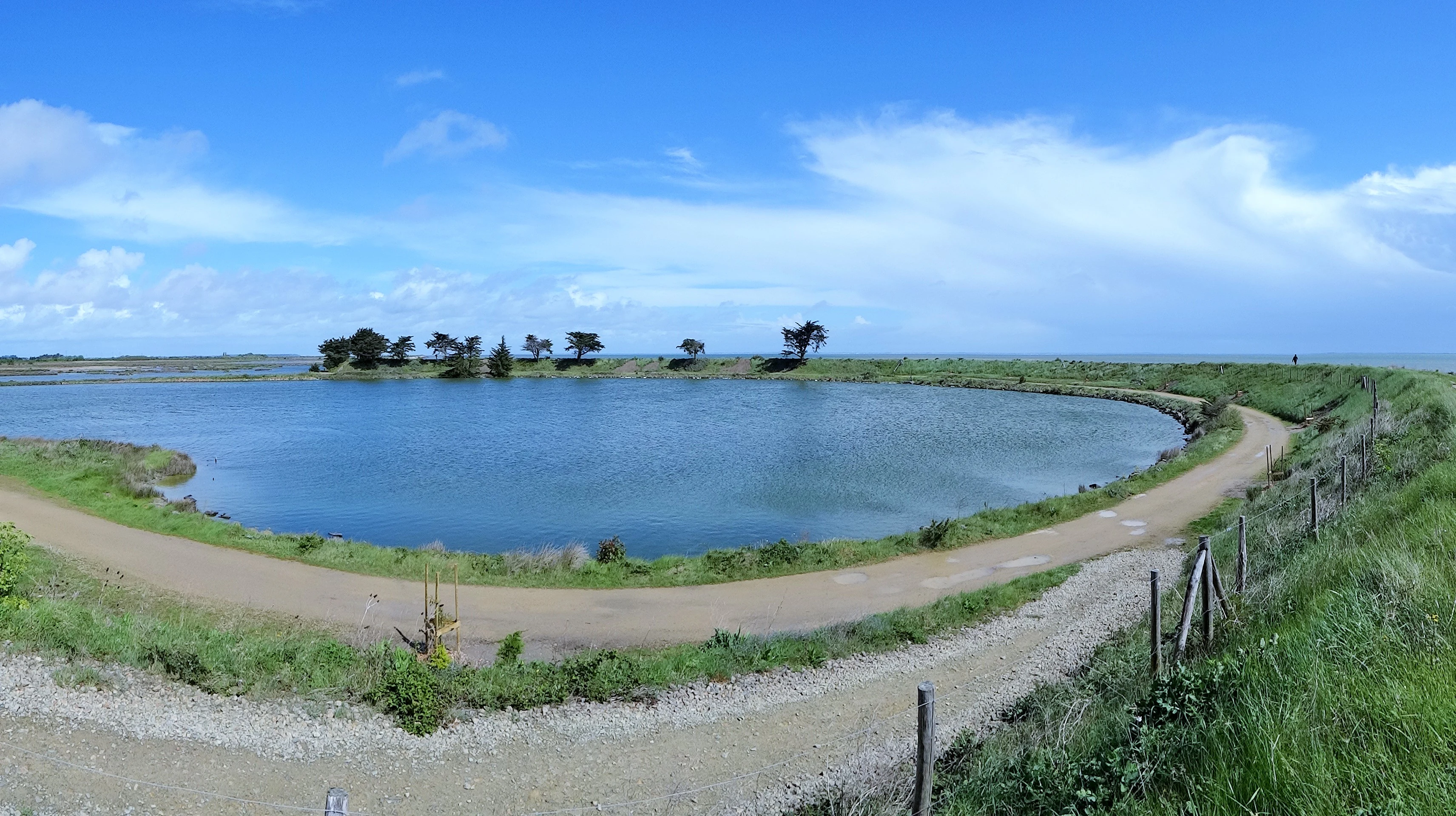
A panoramic landscape view of a calm, curved pond surrounded by a dirt trail and grassy banks under a blue, cloudy sky.
A view of the Etang du Vide within the Polder de Sébastopol Regional Nature Reserve.

Polder de Sébastopol Regional Nature Reserve ecosystems, habitats, and plant life

Ecologically, the Polder de Sébastopol is defined by its mosaic of habitats with varying salinity, hydrology, and vegetation structure. Inventories have documented more than 18 distinct natural habitat types within the reserve, of which 13 are recognised as being of European interest. This diversity is the direct result of the site's position at the interface between reclaimed land and active tidal influence.

The habitats range from saltmarshes and saline grasslands to reedbeds, brackish channels, freshwater ponds, meadows, and patches of higher ground. Salinity gradients from the controlled tidal inputs create transitional environments that are particularly valuable for specialised plant and animal communities. Seagrass beds, glasswort stands, and salt-tolerant flowering plants thrive in the more saline parts of the polder, while freshwater vegetation dominates the more sheltered basins.

The network of hydraulic channels plays a dual ecological role. On one hand, the channels and ponds act as nursery areas for fish species that depend on sheltered, productive waters during early life stages. On the other hand, they create the structural habitat diversity that supports the reserve's exceptional invertebrate fauna. The combination of aquatic and terrestrial habitats, along with strong connectivity through the canal network, makes the polder a genuinely integrated wetland ecosystem rather than a simple set of separated habitat patches.
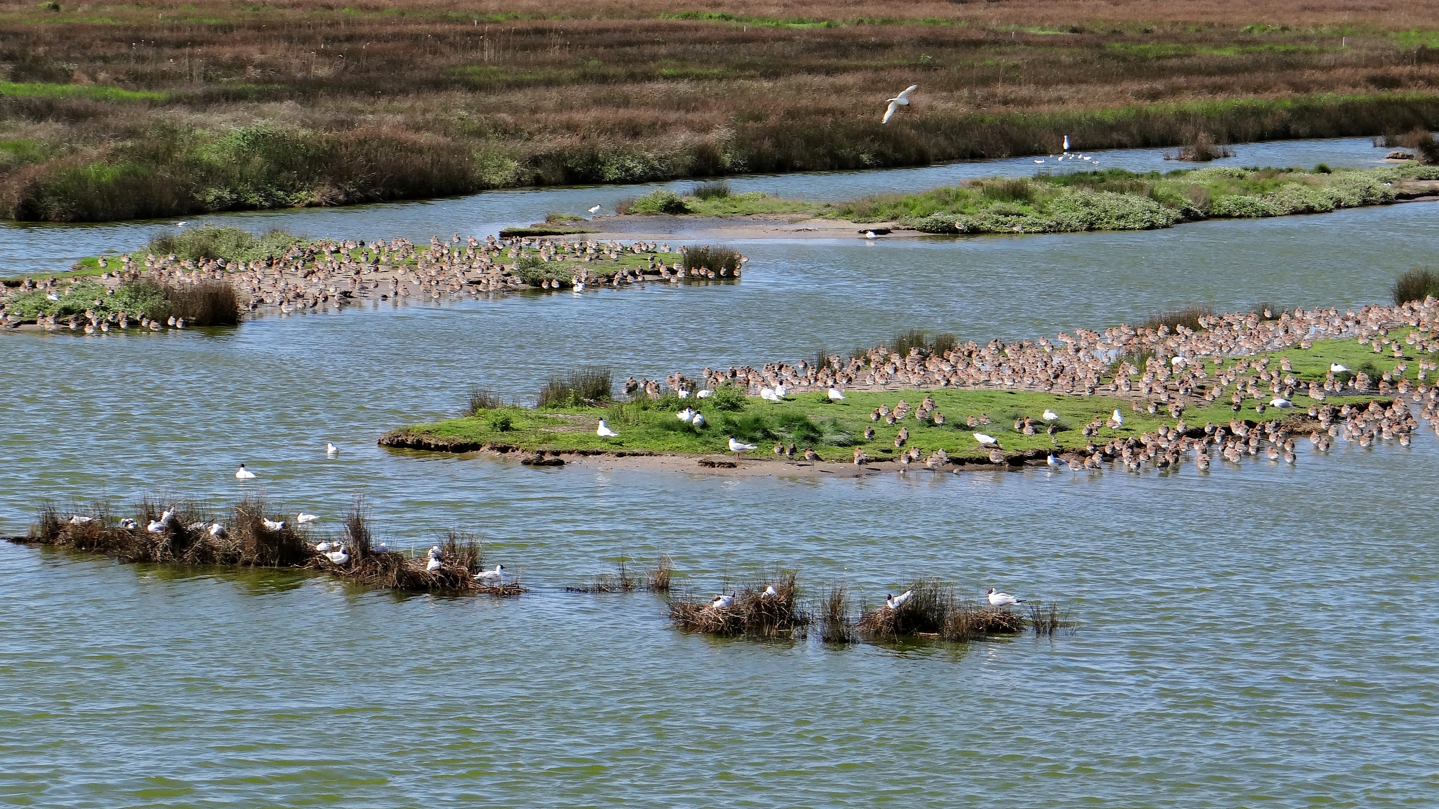
A high angle view showing multiple grassy islets in a calm waterway, crowded with numerous waterfowl and white birds in the Sebastopol Polder reserve.
Large colonies of birds nesting on islands within the Sebastopol Polder Regional Nature Reserve.

Polder de Sébastopol Regional Nature Reserve wildlife and species highlights

Wildlife is the central attraction of the Polder de Sébastopol, particularly its avifauna. The reserve hosts more than 170 recorded bird species, of which approximately 40 breed within the site. Its primary ecological role is as a refuge for waterbirds, catering to their needs across the entire annual cycle: nesting in spring and summer, stopover habitat during migration, and wintering grounds in the colder months.

Among the most characteristic nesting species are pied avocets, common shelducks, black-winged stilts, common redshanks, little terns, and Sandwich terns. Other notable birds regularly observed in the reserve include Mediterranean gulls, black-headed gulls, and reed buntings. The mix of open water, marshy edges, reedbeds, and drier ground provides feeding, roosting, and nesting opportunities for an unusually broad range of species relative to the reserve's modest size.

Beyond birds, the polder supports a striking diversity of invertebrates. Inventories have recorded more than 235 butterfly species and around 220 spider species, making the site an important reference area for invertebrate conservation in the region. The combination of varied vegetation structure, salinity gradients, and sheltered microclimates contributes to this exceptional invertebrate richness, reinforcing the reserve's value as a year-round biodiversity hotspot rather than simply a seasonal bird site.
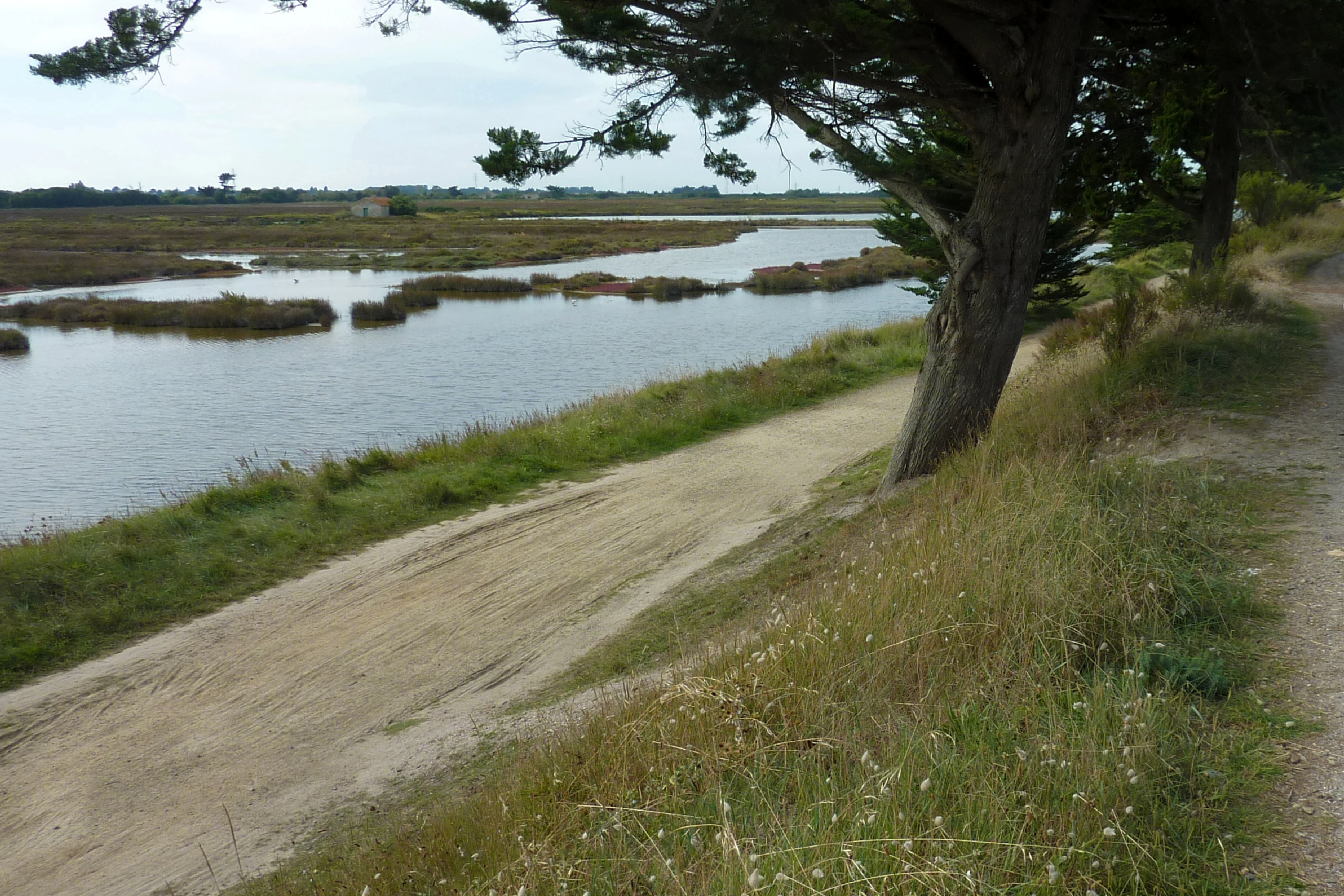
An unpaved sandy trail runs alongside a tidal marsh with scattered grassy islands under a clouded sky.
A scenic view of the coastal marshland and trails within the Réserve naturelle régionale du polder de Sébastopol.

Polder de Sébastopol Regional Nature Reserve conservation status and protection priorities

From a conservation standpoint, the Polder de Sébastopol plays an important regional and national role as a protected wetland on France's Atlantic coast. Its main ecological significance lies in the protection of habitat types of European interest and in the maintenance of favourable conditions for waterbirds throughout their annual cycle. The site's small size is compensated by the high concentration of ecological value within its 133 hectares.

The reserve's legal framework, established in 2008, provides long-term institutional protection. As a Regional Nature Reserve, it benefits from regulations governing land use, public access, and habitat management, all administered by the Communauté de communes de l'Île-de-Noirmoutier. The management approach focuses on maintaining the hydrological balance that creates the reserve's varied habitats, including the controlled tidal exchange through the sluice and canal network.

Beyond formal reserve status, the site has gained broader cultural and landscape recognition. Its inclusion in 2017 in a nationally classified landscape ensemble alongside the Passage du Gois and the Île de la Crosnière reflects a wider understanding that the ecological value of the polder is inseparable from its human and historical context. This dual recognition, ecological and heritage, positions the Polder de Sébastopol as a model of integrated coastal conservation in western France.

Polder de Sébastopol Regional Nature Reserve cultural meaning and human context

The Polder de Sébastopol carries an unusually distinctive cultural resonance for a protected natural area of its size, largely because of the historical coincidence that gave it its name. The land was reclaimed through drainage works completed in 1856, just one year after the end of the Siege of Sebastopol during the Crimean War. Naming the newly emerged French land after a distant battlefield reflects a 19th-century habit of associating national and imperial events with major public works, in the same spirit as the naming of streets, train stations, and ships of the period.

Locally, the polder is part of the broader cultural identity of the Île de Noirmoutier, an island with a long history of Maritime settlement, salt production, fishing, and agricultural adaptation to coastal environments. The Passage du Gois, which passes close to the reserve, is itself a cultural landmark: a submersible road that has shaped the relationship between the island and the mainland for centuries.

The 2017 national recognition of the polder, the Passage du Gois, and the Île de la Crosnière as a unified landscape of national heritage interest has further reinforced the cultural dimension of the site. It highlights the idea that this landscape is not merely a natural area but a cultural construction, the result of centuries of human-nature interaction along the Vendée coast.

Top sights and standout views in Polder de Sébastopol Regional Nature Reserve

Among the most distinctive features of the Polder de Sébastopol are its elongated shape, dictated by the original 19th-century drainage geometry, and the controlled hydrological system that now defines its ecological character. The reserve's position just one metre above the highest tides, combined with its network of sluices and channels, creates a continuously shifting wetland mosaic that few other protected sites in the region can match in such a compact area.

The reserve is also notable for combining high biodiversity with strong heritage value. Its population of breeding and migratory waterbirds, including pied avocets, common shelducks, and several tern species, makes it a respected birding site, while its inclusion in a nationally classified landscape ensemble gives it a cultural recognition beyond the purely ecological.

Finally, the Etang du Vide is one of the reserve's signature inland waterbodies, offering particularly rich habitat for waterbirds and invertebrates and contributing to the overall sense of a finely textured, interconnected wetland landscape.

Best time to visit Polder de Sébastopol Regional Nature Reserve

The Polder de Sébastopol can be appreciated across the full annual cycle, with each season offering a different character. Spring and early summer are the most rewarding periods for visitors interested in breeding birds, when waders, terns, and other waterbirds establish nests around the reserve's ponds, channels, and marshy edges. Migratory arrivals in spring also bring a sense of seasonal change to the open landscape.

Autumn is a particularly interesting period for those interested in migration, as the reserve becomes a staging area for waterbirds moving along the Atlantic coast. Winter brings concentrations of overwintering birds, including ducks, waders, and gulls, taking advantage of the milder oceanic climate compared with inland France. The quieter atmosphere of the off-season also makes the reserve's flat horizons, open skies, and reflective water surfaces particularly appreciated by those interested in landscape and quiet observation.

The coastal climate of the Île de Noirmoutier ensures relatively mild conditions year-round, though weather along the Atlantic edge can be changeable, and visitors should be prepared for wind and rain when exploring the exposed polder landscape.

Monthly climate preview

Long-term representative temperature and precipitation patterns across the protected coordinate

Réserve naturelle régionale du polder de Sébastopol Climate Normals And Annual Weather By Month

Representative baseline measurements track annual temperature swings and monthly precipitation totals across the protected landscape. Examining the complete twelve-month climatology profile reveals detailed shifts in average temperature and precipitation norms.
Annual mean12 °C
6 °C19 °C
Jan
Feb
Mar
Apr11°
May14°
Jun17°
Jul19°
Aug19°
Sep17°
Oct14°
Nov10°
Dec
Warmest month
August

19.4 °C

Coolest month
January

6.4 °C

Wettest month
November

3 mm/day

Driest month
July

1.4 mm/day

Park location guide

Geography guide, regional context, and park location map for Polder de Sébastopol Regional Nature Reserve

Polder de Sébastopol Regional Nature Reserve park geography, regions, and map view in France

Understand where Polder de Sébastopol Regional Nature Reserve sits in France through a broader geographic reading of the surrounding landscape, nearby location context, and its mapped position within the national park landscape.

How Polder de Sébastopol Regional Nature Reserve fits into France

France is a unitary semi-presidential republic and one of the world's largest economies. It borders Belgium, Luxembourg, Germany, Switzerland, Italy, Monaco, Andorra, and Spain, with a maritime border to the United Kingdom. The country is known for its cultural influence, art, cuisine, and political history spanning centuries.

Wider geography shaping Polder de Sébastopol Regional Nature Reserve in France

France is located in Western Europe. Metropolitan France extends from the Rhine to the Atlantic Ocean and from the Mediterranean Sea to the English Channel and North Sea. The country borders Belgium, Luxembourg, Germany, Switzerland, Italy, Monaco, Andorra, Spain, and has a maritime border with the United Kingdom.

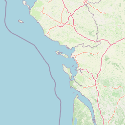
Map view of Polder de Sébastopol Regional Nature Reserve

Use this park location map to pinpoint Polder de Sébastopol Regional Nature Reserve in France, understand its exact geographic position, and read its mapped placement within the surrounding landscape more clearly.

Pigeon | © OpenStreetMap contributors

Location context for Polder de Sébastopol Regional Nature Reserve

Pays de la Loire

Visual exploration of coastal wetland habitats, low dikes, and protected marsh environments

Réserve naturelle régionale du polder de Sébastopol Photos and Landscape Scenery

Photographic collections reveal the flat horizontal geometry, brackish waterways, and expansive skies defining the protected landscape of Réserve naturelle régionale du polder de Sébastopol. Visual documentation helps researchers and visitors analyze the intricate wetland mosaic, historic sea dikes, and crucial waterbird habitats along the Atlantic coast.

A wide-angle, slightly fish-eye view of a wetland area with a dirt path splitting through shallow ponds and low-lying marshy vegetation under a bright blue sky.

A gravel embankment path stretches into the distance, with calm water on the right and marshy wetlands on the left under a cloudy sky.

A panoramic landscape view of a calm, curved pond surrounded by a dirt trail and grassy banks under a blue, cloudy sky.

A high angle view showing multiple grassy islets in a calm waterway, crowded with numerous waterfowl and white birds in the Sebastopol Polder reserve.

An unpaved sandy trail runs alongside a tidal marsh with scattered grassy islands under a clouded sky.

Park atlas

Compare nearby coastal wetlands, regional nature reserves, and protected Atlantic landscapes.

Parks Near Réserve naturelle régionale du polder de Sébastopol and Surrounding Protected Areas

Browsing other protected areas near Réserve naturelle régionale du polder de Sébastopol reveals broader ecological patterns across the western French coastline. Evaluating adjacent wetland reserves provides valuable geographic context for understanding regional biodiversity, hydraulic heritage, and coastal terrain.
Nature reserveRomania
About 9.6 km away#1 closest

Southeast

Réserve naturelle régionale des marais du Bout de Sac: Protected Marsh Geography

Coastal wetland habitat and protected marshland terrain

The Réserve naturelle régionale des marais du Bout de Sac represents 187.1 hectares of preserved wetland habitat. Its landscape includes reclaimed polders, wet meadows, and a network of tidal channels. This site offers significant value for understanding the ecological structure of coastal marshlands and their role as habitats for waterbird populations near the Atlantic interface.

Established
2025
Relief
Lowland
Water
Water-dominated
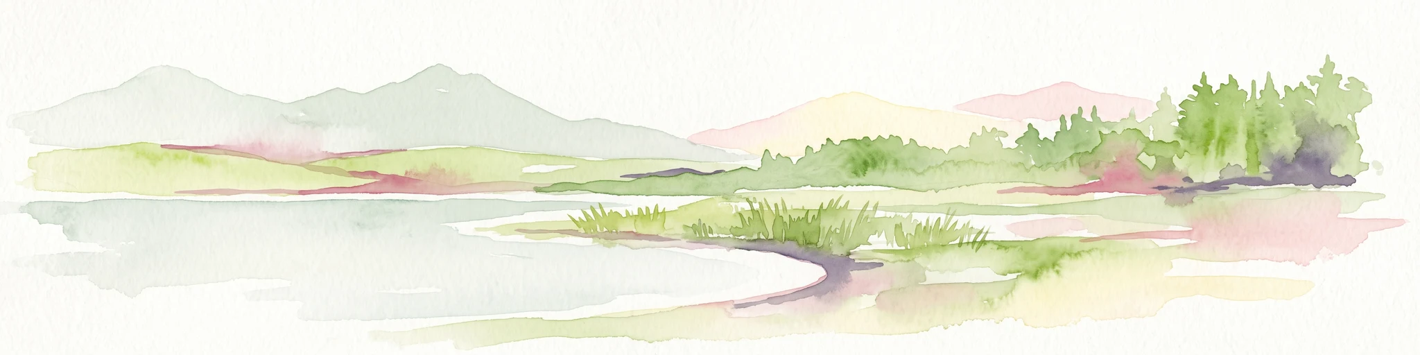
A horizontal watercolor painting depicting a soft coastal scene with green grassy shores; distant hills; and a calm expanse of water.
Nature reservePays de la Loire
About 22 km away#2 closest

North

Réserve naturelle régionale de la pointe Saint-Gildas: Coastal Geography and Protected Map

Regional Nature Reserve in Pays de la Loire, France

The Réserve naturelle régionale de la pointe Saint-Gildas represents a significant protected coastal headland. Located in Loire-Atlantique, the site encompasses 11.5 hectares of land where freshwater estuarine influences converge with Atlantic saltwater, providing a unique focus for regional geographic and landscape conservation studies.

Area
0.115 km²
Established
2014
IUCN
IV
Relief
Lowland
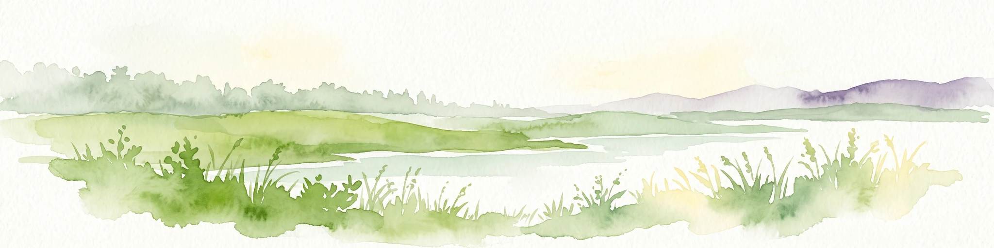
A soft watercolor illustration depicting a serene wetland scene with a calm body of water, grassy marshland, and distant rolling hills under a pale sky.
Nature reservePays de la Loire
About 47 km away#3 closest

North

Réserve naturelle régionale du marais de Brière: Protected Wetland Geography in Western France

A vital conservation mosaic of reedbeds, canals, and flooded meadows.

Located in the Pays de la Loire region, this protected area preserves the distinctive Grande Brière marshland landscape. The reserve manages a complex network of channels, islands, and damp meadows, providing essential habitat for migratory waterbirds and wetland wildlife. It represents a significant effort to maintain the ecological integrity of inland marsh complexes through structured regional conservation.

Area
8.36 km²
Established
2012
IUCN
IV
Nature reservePays de la Loire
About 50 km away#4 closest

East

Réserve naturelle régionale du bocage humide des Cailleries: Protected Landscape and Regional Map

Wet bocage and oak woodland in the Lake Grand-Lieu watershed

Covering roughly 18 hectares, this protected area features a fine-textured mosaic of woody hedgerows, wet meadows, and multiple small ponds. The site acts as a functional refuge for varied flora and fauna, illustrating the traditional Atlantic landscape character within western France through its structured management of meadows and pond systems.

Area
0.182 km²
Established
2012
IUCN
IV
Relief
Lowland
Nature reserveLoire-Atlantique
About 61 km away#5 closest

North

Réserve naturelle régionale de l'étang du pont de fer: Protected Wetlands of Loire-Atlantique

Coastal freshwater pond, wooded buffers, and wetland connectivity.

This regional nature reserve encompasses a sizeable freshwater pond and surrounding marshes, serving as a vital link in the chain of wetlands between the Vilaine estuary and the Guérande region. Its distinctive landscape, defined by floating sedge islets and dense alder woodland, supports a high density of avifauna and rare plant species. As a key component of the protected terrain in Loire-Atlantique, the reserve offers insight into coastal wetland ecosystems and their function as biodiversity corridors in western France.

Area
0.626 km²
Established
2008
IUCN
IV
Relief
Lowland
Nature reservePays de la Loire
About 66 km away#6 closest

Northeast

Réserve naturelle régionale de la tourbière de Logné: Protected Wetland Landscape Map

A rare peatland refuge in the Pays de la Loire administrative region

Located on the outskirts of Nantes, the Réserve naturelle régionale de la tourbière de Logné protects a delicate raised bog system. This atlas entry provides a detailed look at the basin terrain, its surrounding hills, and the wetland connectivity that supports its status as a critical botanical and invertebrate sanctuary within the Erdre valley.

Area
0.706 km²
Established
2011
IUCN
IV
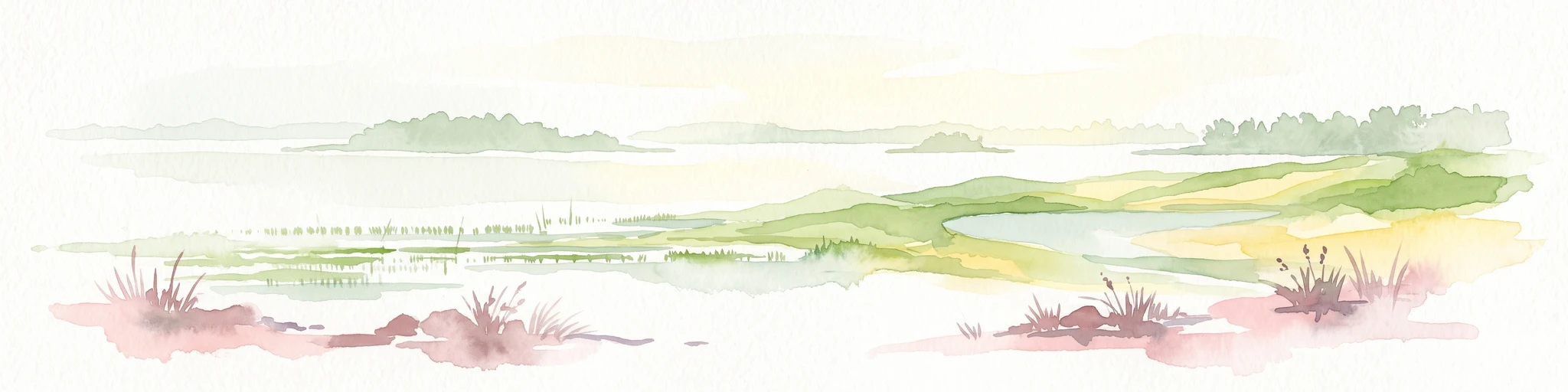
A watercolor painting showing a soft, panoramic view of a coastal wetland with small islands in the distance and grassy foreground dunes.
Regional parkBretagne
About 69 km away#7 closest

Northwest

Parc naturel régional du Golfe du Morbihan: Coastal Landscape and Marine Park Geography

Protected maritime territory and island geography in Bretagne

Covering over 80,000 hectares of combined land and marine space, Parc naturel régional du Golfe du Morbihan offers a unique view into the intersection of Atlantic coastal heritage and environmental conservation. Learn about the park's structural role in the Bretagne region through its intricate network of inlets, peninsulas, and marshland habitats that define its distinctive maritime character.

Area
642 km²
Established
2014
IUCN
V
Nature reservePays de la Loire
About 85 km away#8 closest

Northeast

Réserve naturelle régionale de la ferme de la Chauffetière: Geographic and Landscape Atlas

Protected nature reserve in the Pays de la Loire region

Spanning 30 hectares, the Réserve naturelle régionale de la ferme de la Chauffetière showcases the authentic Mauges bocage landscape. Its varied terrain includes humid valleys, dry calcareous slopes, and agricultural plateaus, providing essential habitat for amphibians, rare orchids, and saproxylic insects within a living, working farm environment.

Area
0.3 km²
Established
2008
IUCN
IV
Relief
Upland

Common questions about visiting, size, designation, and location context for Polder de Sébastopol Regional Nature Reserve

Polder de Sébastopol Regional Nature Reserve FAQs for park facts, access, geography, and protected area context

Find quick answers about Polder de Sébastopol Regional Nature Reserve, including protected-area facts, park geography, trail and visitor context, and how the park fits into its surrounding country and regional landscape.
MoriAtlas Explorer

Continue Your Protected Areas Search Across the Global Atlas

Deepen your exploration by continuing the structured search for national parks and protected areas worldwide. Utilize the comprehensive filtering capabilities to compare different conservation landscapes and refine your understanding of global park geography. Discover more about the distribution and characteristics of protected natural areas.

Global natural geography