Mori Atlas logo
Park earthquake history

Review documented seismic occurrences mapped by epicentre distance from this Lombardy protected area.

Recorded Seismic Activity and Historical Earthquake Records for Riserva naturale Boschi del Giovetto di Paline

This historical catalogue provides a structured overview of recorded earthquake events associated with the Riserva naturale Boschi del Giovetto di Paline. Each entry reflects data from seismic records, detailing the timing, magnitude, and relative proximity of occurrences based on distance from the reserve boundaries. The collection serves as a focused resource for tracking documented seismic activity in this section of the Lombard Prealps.

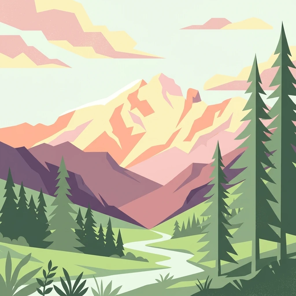
A digital illustration showing a valley scene with evergreen trees, a stream flowing through a grassy meadow, and large mountains in the background under a soft pastel sky.

A Lombardy regional nature reserve protecting ancient spruce forests and the iconic red wood ant.

Riserva naturale Boschi del Giovetto di Paline

Riserva naturale Boschi del Giovetto di Paline is a regional nature reserve in Lombardy, northern Italy, spanning the municipalities of Azzone in the province of Bergamo and Borno in the province of Brescia. Established in 1985, the reserve covers about 597 hectares of mountain terrain between roughly 1000 and 1937 meters in elevation, straddling the watershed between two Alpine valleys. The protected area is dominated by extensive coniferous forests built around Norway spruce, with white fir, larch, beech, and rowan at varying altitudes. Its defining ecological focus is the conservation of Formica rufa, the red wood ant, whose dome-shaped colonies shape the forest floor. In addition to woodland habitat, the reserve encompasses subalpine pastures, shrubby slopes, and rocky outcrops that support a rich community of woodland birds and small mammals. Recognized under IUCN Category IV (habitat and species management area), the reserve is managed by ERSAF, the regional agency for agricultural and forestry services. It combines strict habitat protection with the preservation of traditional seasonal pastoralism in its historic alpine malghe.

Location
Italy
Park type
Nature reserve
Established
1985
Area
6 km²
Riserva naturale Boschi del Giovetto di Paline Map

Explore Riserva naturale Boschi del Giovetto di Paline event distances

Review earthquakes near Riserva naturale Boschi del Giovetto di Paline

Earthquakes near Riserva naturale Boschi del Giovetto di Paline are linked by epicentre and distance to the reserve, without asserting occurrence inside its limits. Review dates, magnitudes, depths, locations, distance measurements, and sources while avoiding claims that woodland or reserve qualities caused seismicity, establish current risk, or indicate what will happen next.

Sort by
Magnitude
Location

This page describes catalogued earthquakes associated with the park by epicentre location and distance. It does not establish causation, assess current danger, or predict future earthquakes.

No earthquake records match the current filters

Park atlas

Continue past Riserva naturale Boschi del Giovetto di Paline records

Find other parks from Riserva naturale Boschi del Giovetto di Paline

From Riserva naturale Boschi del Giovetto di Paline earthquake records, continue with a separately selected range of protected places. The suggestions imply no common woodland character, reserve category, habitat, geology, seismic history, proximity, hazard conditions, risk level, or parity of evidence.
Watercolor painting of a mountain range with a lake, green hills, and a sunset sky
National parkTrentino-Alto Adige/Südtirol
36 km away#1 closest

Northeast

Stelvio National Park National Park: Protected Landscape and Regional Geographic Context

Explore its mapped boundaries and natural terrain.

Navigate Stelvio National Park, a designated national park in Italy's Trentino-Alto Adige/Südtirol region, through a map-centric lens. This page provides critical context for understanding the park's protected landscape, its geographic position within the Alps, and its mapped terrain. Utilize MoriAtlas to grasp the park's boundaries and its place in regional geography for structured natural landscape discovery.

Established
1935
IUCN
II
Relief
Mountain
Scope
Terrestrial
A soft watercolor painting of a tranquil lake surrounded by gentle, rolling green hills and wetland vegetation.
Nature reserveTrentino-Alto Adige
39 km away#2 closest

East

Lago d'Ampola: Mapping the Ecology of a Glacial Nature Reserve in Trentino

A critical protected wetland and montane biotope

Lago d'Ampola preserves a remarkably layered habitat of glacial origin, where water lilies, marsh vegetation, and spruce-beech forests converge. This protected site in Trentino-Alto Adige offers a focused look at the intersection of glacial geography and successful ecosystem recovery in an Alpine valley setting.

Area
0.5 km²
Established
1990
Relief
Mountain
Climate
Alpine
Nature reserveLombardia
About 48 km away#3 closest

Northwest

Val di Mello Nature Reserve: Mapping the Granitic Geography of the Italian Alps in Lombardia

A study of protected vertical relief, glacial cirques, and Alpine terrain.

Val di Mello offers a profound look at high-altitude Alpine geography, characterized by its immense, light-colored granitic walls and deeply carved tributary valleys. This protected nature reserve acts as a gateway to the broader mountainous terrain of the Lombardia region, showcasing the geological evolution of the Italian Alps through its steep gullies, high summits, and expansive valley floor.

Established
2009
Relief
Mountain
Access
Moderate access
Scope
Terrestrial
A horizontal watercolor illustration showing stylized, overlapping mountain ridges in shades of soft green, pink, and yellow against a white background.
Natural monumentGraubünden
About 50 km away#4 closest

Northwest

Roseggletscher Natural Monument: Alpine Glacier Geography and Proglacial Lake Mapping

Protected landscape data for the Bernina range in Graubünden.

Examine the geographic boundaries and terrain of the Roseggletscher, a protected natural monument situated in the upper Val Roseg. This record captures its glacial extent, the emergence of the Lej da Vadret proglacial lake, and its role within the wider Bernina glacier ensemble of southeastern Switzerland.

Area
6.38 km²
Relief
Mountain
Climate
Alpine
Access
Moderate access
A watercolor painting showing a panoramic view of a green wetland landscape with soft purple mountains in the background.
Nature reserveTrentino-Alto Adige
About 52 km away#5 closest

East

Biotopo Fiavé: A Protected Wetland and Archaeological Landscape in Trentino-Alto Adige

Mapping glacial lake basins and ancient prehistoric heritage sites

Located at the foot of Monte Cogorna, Biotopo Fiavé functions as a vital wetland reserve characterized by extensive peat bogs and mixed willow-alder thickets. This area offers a unique intersection of natural hydrological evolution and UNESCO-protected archaeological history, serving as a rare, compact cross-section of alpine valley ecosystems and prehistoric human settlement patterns.

Area
1.373 km²
Established
1988
IUCN
IV
Nature reserveTrentino-Alto Adige
About 55 km away#6 closest

East

Biotopo Lomasona Nature Reserve: Protected Landscapes and Alpine Geography in Trentino

A small-scale conservation area in the heart of Val Lomasona

Biotopo Lomasona stands as a specialized nature reserve in the Italian Province of Trento. This compact protected area focuses on habitat conservation within the alpine terrain, serving as an important ecological anchor in the valley landscape of Comano Terme and the wider Trentino-Alto Adige region.

Area
0.26 km²
Established
1987
IUCN
IV
Nature reserveTrentino-Alto Adige
About 56 km away#7 closest

East

Biotopo Monte Brione: Protected Nature Reserve and Mediterranean Landscape Map

Exploring the limestone ecology of northern Italy

Biotopo Monte Brione stands as a remarkable protected area where southern European vegetation, including holm oaks and Phoenician juniper, flourishes against a backdrop of sun-exposed limestone cliffs. Situated as a natural buffer near Lake Garda, this reserve offers a deep look into the intersection of Mediterranean floral diversity and Alpine geographic settings, providing a essential refuge for protected raptors and rare invertebrate species.

Area
0.663 km²
Established
1992
IUCN
IV
A soft watercolor painting of a wetland landscape with distant rolling hills, green grassy banks, and a calm water surface, rendered in a muted palette.
Nature reserveTrentino
59 km away#8 closest

East

Lago di Loppio Nature Reserve: A Protected Wetland and Archaeological Landscape in Trentino

Mapping the ecological intersection of wetlands and historical island sites.

Lago di Loppio functions as a critical provincial biotope, blending rare marshland ecology with a deep historical footprint on the Island of Sant'Andrea. Situated within a depression in the Adige valley, this protected area features a unique transitional microclimate that supports diverse flora and fauna, alongside ruins spanning Roman to medieval eras.

Area
1.126 km²
Established
1987
Relief
Upland
Climate
Temperate
MoriAtlas Explorer

Explore the Protected Landscapes of Riserva naturale Boschi del Giovetto di Paline

Trace the altitudinal forest zones and mountain topography of this significant nature reserve in the Lombardia region. MoriAtlas provides a structured view of the park boundaries, ecosystem distribution, and the historical pastoral landscape of the Orobic Prealps for deeper geographic understanding.