
Mori Atlas logo
Nature reserveSandgrube am Mahlertshof

A tranquil wetland refuge formed within a former sand quarry and mixed forest terrain.

Sandgrube am Mahlertshof Nature Reserve: Mapped Protected Landscapes in Hessen, Germany

(Naturschutzgebiet Sandgrube am Mahlertshof)

Sandgrube am Mahlertshof represents a distinct protected landscape located in the district of Fulda, Hessen. This nature reserve features a compact terrain defined by a network of four water-filled ponds and marshy margins that have reclaimed a former sand quarry. The site provides essential habitat transitions between open water and surrounding mixed forest, serving as a critical refuge for local amphibian populations and migratory bird species within this German region.

nature reservewetlandformer quarrypondsamphibiansmixed forest
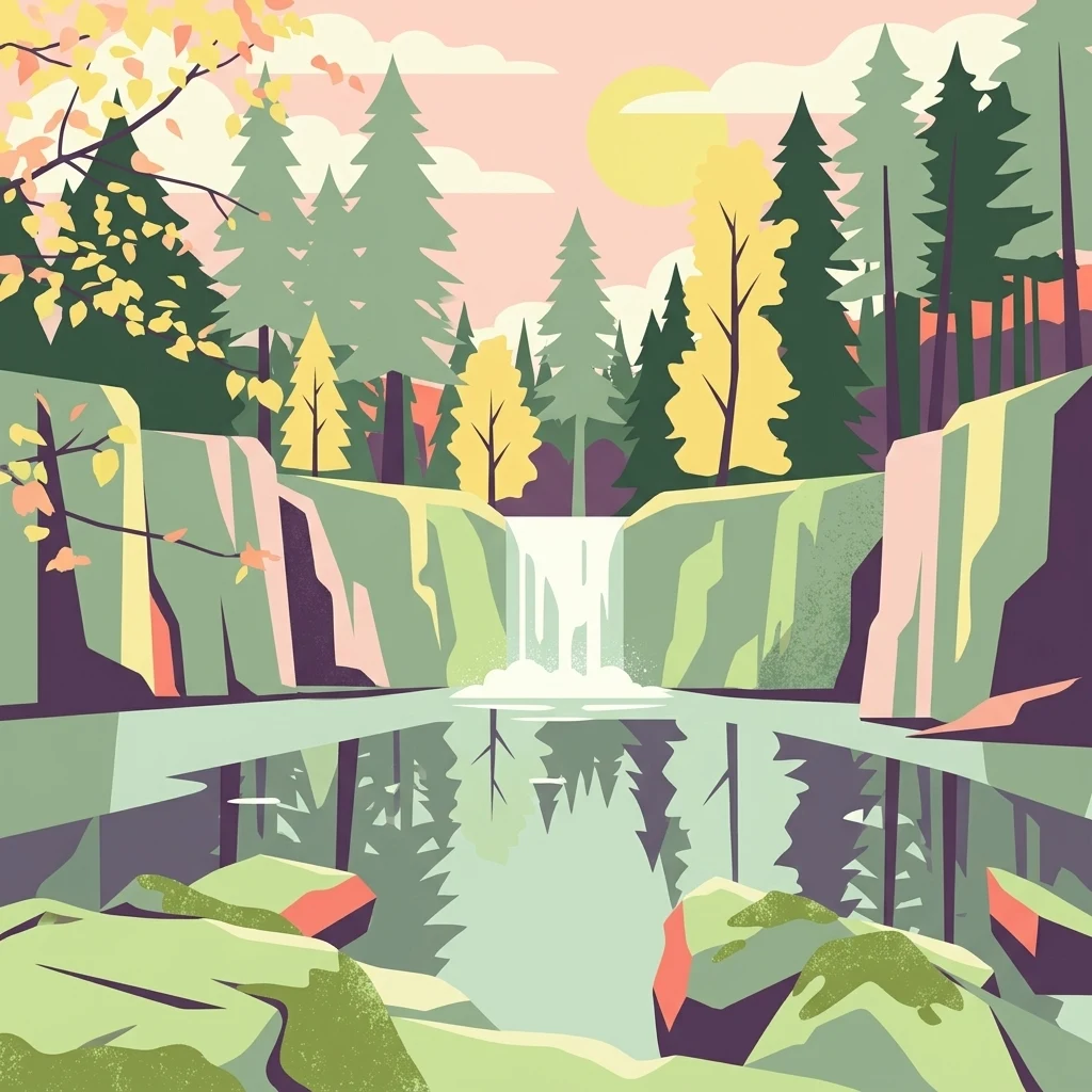
A flat, stylized digital illustration of a small waterfall cascading into a pool surrounded by rocky cliffs and evergreen trees under a soft-colored sky.

Sandgrube am Mahlertshof

Nature reserve

Park overview

Structured park overview, official facts, and landscape profile for Sandgrube am Mahlertshof

Sandgrube am Mahlertshof park facts, protected area profile, and essential visitor context

Review the core facts for Sandgrube am Mahlertshof, including designation, size, terrain, visitor scale, habitats, and operating context in one park-focused overview.

About Sandgrube am Mahlertshof

Sandgrube am Mahlertshof is a compact nature reserve in eastern Hesse, in the Landkreis Fulda, and represents a classic example of how a small, abandoned extraction site can evolve into a high-value habitat. The area lies close to the village cluster of Mahlertshof, just west and southwest of the core Burghaun settlement, and follows the line of the Bundesautobahn 7. Surrounded by mixed forest, the reserve is dominated by a chain of four ponds and shallow pools of varying size and depth, originally formed in a sand quarry known locally as the Willhards pit.

After extraction ended, the pit gradually filled and stabilized, allowing wetland vegetation to establish along the margins and woodland to close in around the open water. The result is a layered landscape where aquatic, marshy, and forest habitats exist within a very small footprint. The reserve has been formally protected since 1992 and today functions as an important refuge for amphibians, a drinking site for local birds, and a stopover for migrating shorebirds during seasonal passage.

Although modest in size, Sandgrube am Mahlertshof is an ecologically meaningful component of the broader network of small protected areas in the Landkreis Fulda, contributing local biodiversity value to a region otherwise dominated by larger woodland and agricultural landscapes.

Quick facts and research context for Sandgrube am Mahlertshof

Sandgrube am Mahlertshof is a designated nature reserve in the municipality of Burghaun, in the Landkreis Fulda of Hesse, Germany. The protected area lies west to southwest of the main Burghaun settlement, close to the hamlet of Mahlertshof and parallel to the Bundesautobahn 7 corridor.

The reserve covers about 4.38 hectares (with one official source listing 4.44 hectares) and is recorded in the World Database on Protected Areas under ID 165307. It sits at roughly 376 metres above sea level and was placed under formal protection on 25 May 1992. Its ecological value centers on a former sand quarry that gradually filled with water, creating a series of ponds surrounded by mixed forest.

Protection and recognition

Documented terrestrial protection scope, designation history, and recognition sources

Sandgrube am Mahlertshof Protection Status and International Recognition

Sandgrube am Mahlertshof maintains a documented terrestrial protection scope without imported international recognition sources. Review official designation records, management scope details, and baseline database attributes in one location.

Protection details

Protection scope
Terrestrial
Transboundary protection
No
WDPA ID
165307
Park context

Deeper park guide and search-rich context for Sandgrube am Mahlertshof

Sandgrube am Mahlertshof history, landscape, wildlife, and travel context

Explore Sandgrube am Mahlertshof through its history, landscape character, ecosystems, wildlife, conservation priorities, cultural context, and seasonal travel timing in a structured park guide built for atlas discovery and search intent.

Why Sandgrube am Mahlertshof stands out

The reserve is best known for being a former sand quarry that has transformed into a network of small ponds and pools embedded in mixed woodland. Its defining character is the meeting of open water, marshy shoreline vegetation, and forest, producing a compact wetland refuge that is unusually rich in amphibian life and useful to both resident and migrating birds.
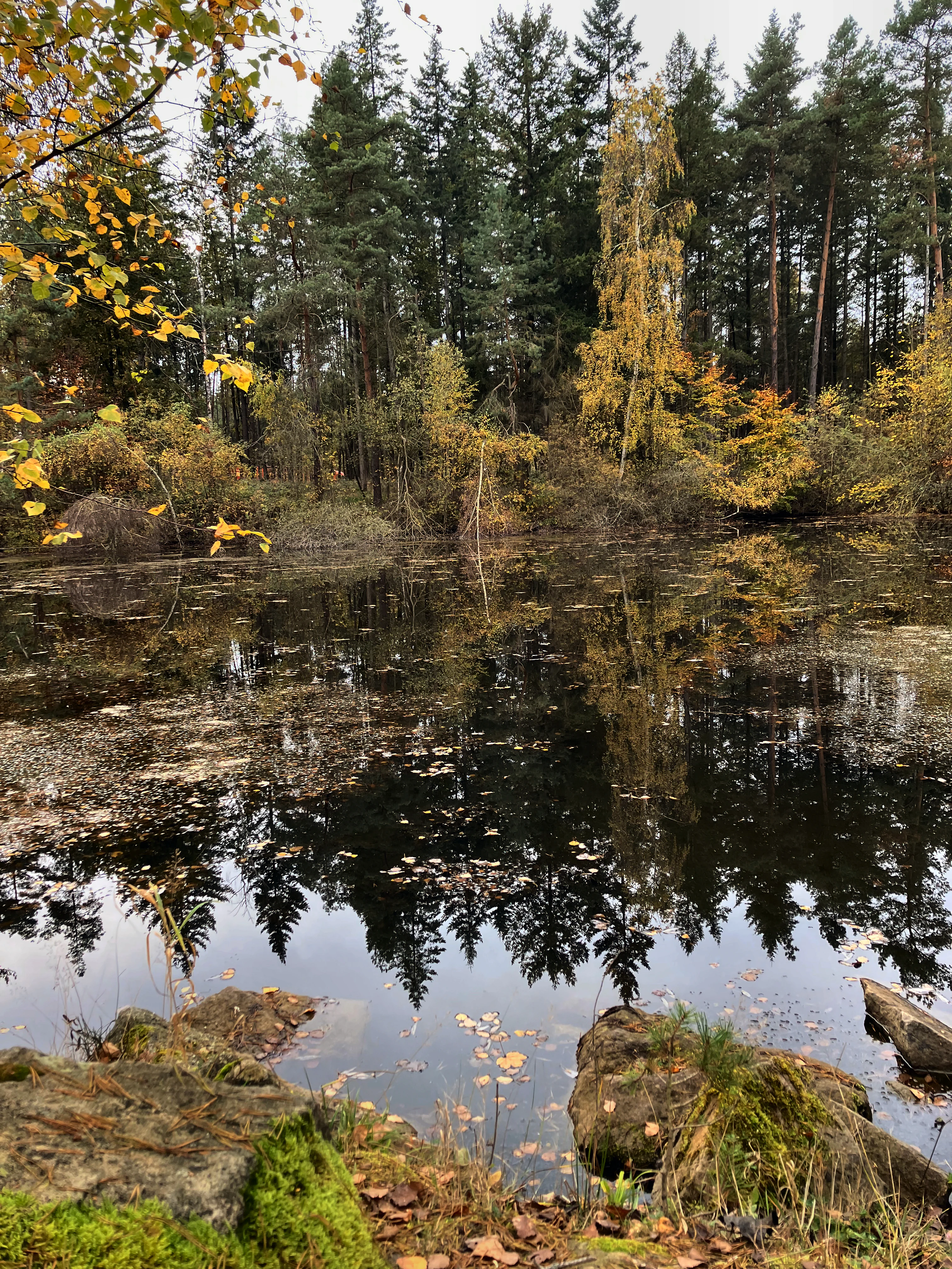
A still pond with dark water reflecting a dense forest of evergreen and deciduous trees in autumn colors, with mossy rocks in the immediate foreground.
A tranquil pond reflecting the surrounding autumn forest at Sandgrube am Mahlertshof.

Sandgrube am Mahlertshof history and protected-area timeline

The site has its origin as a former sand quarry in the area locally known as the Willhards pit. After extraction activities ceased, the hollowed ground gradually filled with water, producing a series of ponds and small pools that began to acquire ecological value on their own. Recognition of this transformation came on 25 May 1992, when the area was placed under formal nature protection as the Naturschutzgebiet Sandgrube am Mahlertshof, identified under the official designation 1631026, ensuring its conservation as a small wetland refuge within the surrounding mixed forest landscape.

Sandgrube am Mahlertshof landscape and geographic character

The landscape of the reserve is shaped by what could be described as a hollowed, water-filled terrain inside a forested setting. Four ponds and pools of differing size and depth occupy the central zone, each bordered by shallow shoreline transitions that support marsh plants. The surrounding vegetation is mixed forest, which frames the open water and creates sheltered margins.

The site lies near the hamlet of Mahlertshof, between the core settlement of Burghaun and the Schlotzau area, and runs broadly parallel to the Bundesautobahn 7 corridor. Although the topography is gentle and the elevation modest, the contrast between open water, marsh edge, and enclosing woodland gives the small reserve a clearly defined internal landscape character.

Sandgrube am Mahlertshof ecosystems, habitats, and plant life

Ecologically, the reserve functions as a small but well-defined wetland system embedded in mixed woodland. The four ponds and pools provide aquatic habitat, while their shallow margins support a typical suite of damp-loving vegetation, including broad-leaved and narrow-leaved bulrush, upright bur-reed, meadowsweet, water horehound, club-rush, and floating sweet-grass.

The combination of forest cover and open water creates a transitional ecological zone where forest, shoreline, marsh, and aquatic conditions meet within a very small area. This layered habitat supports amphibians in the pools, reptiles along the warmer edges, waterbirds using the surface as a drinking site, and a diverse insect community, especially butterflies, in the surrounding vegetation.

Sandgrube am Mahlertshof wildlife and species highlights

The reserve is particularly notable for its amphibian populations. The ponds and pools serve both as habitat and spawning waters for species such as common toads, water frogs, grass frogs, and both smooth and alpine newts. Reptiles are also documented in the area, taking advantage of the warmer edges around the ponds.

Birds use the open water as a drinking spot, and during the migration season the reserve occasionally hosts shorebirds, known in German as Limikolen, that stop briefly to rest and forage. The mix of water, marshy margins, and forest further supports a rich insect fauna, including butterflies, which in turn reinforces the food web for birds and other small predators.

Sandgrube am Mahlertshof conservation status and protection priorities

Conservation significance at Sandgrube am Mahlertshof stems from the site's role as a small, specialized wetland refuge within a predominantly forested and agricultural regional landscape. The protected area, formally designated since 1992, preserves a former sand quarry that now functions as ecologically valuable open water and marsh habitat in an otherwise limited local setting.

Its protection helps maintain local amphibian breeding habitat, supports seasonal use by migratory shorebirds, and safeguards a transitional zone between forest and wetland that can support diverse insect life. As one of many small nature reserves in the Landkreis Fulda, it also contributes to the broader network of protected sites that maintain habitat connectivity and biodiversity across eastern Hesse.

Top sights and standout views in Sandgrube am Mahlertshof

Among the reserve's most notable qualities is the way a former sand quarry has become a functioning wetland system, with four ponds of varied size and depth offering layered habitat within a single small footprint. The reserve supports a strong amphibian community, including toads, frogs, and both smooth and alpine newts, and functions as a seasonal drinking site and shorebird stopover.

Monthly climate preview

Long term temperature and precipitation patterns recorded across twelve months

Sandgrube am Mahlertshof Climate Normals and Monthly Weather Records

Sandgrube am Mahlertshof records measured long term temperature variations alongside consistent monthly precipitation patterns based on representative coordinate data from Hessen. Reviewing the complete twelve month statistical profile provides deeper clarity into the regional climate rhythm and historical atmospheric averages.
Annual mean8 °C
-1 °C18 °C
Jan-1°
Feb
Mar
Apr
May12°
Jun16°
Jul18°
Aug18°
Sep14°
Oct
Nov
Dec
Warmest month
July

18.1 °C

Coolest month
January

-1.2 °C

Wettest month
July

2.6 mm/day

Driest month
April

1.6 mm/day

Park location guide

Geography guide, regional context, and park location map for Sandgrube am Mahlertshof

Sandgrube am Mahlertshof park geography, regions, and map view in Germany

Understand where Sandgrube am Mahlertshof sits in Germany through a broader geographic reading of the surrounding landscape, nearby location context, and its mapped position within the national park landscape.

How Sandgrube am Mahlertshof fits into Germany

Germany is a federal republic in Western and Central Europe with a population of over 83 million across sixteen constituent states. It is Europe's largest economy by nominal GDP and a major global exporter and importer. The capital is Berlin, and the country borders Denmark, Poland, Czech Republic, Austria, Switzerland, France, Luxembourg, Belgium, and the Netherlands.

Wider geography shaping Sandgrube am Mahlertshof in Germany

Germany is located in Western and Central Europe, spanning 357,022 km². It borders Denmark to the north, Poland and the Czech Republic to the east, Austria and Switzerland to the south, and France, Luxembourg, Belgium, and the Netherlands to the west. The country has coastlines on the Baltic Sea and North Sea to the north, with the Alps located in the southern region.

Map view of Sandgrube am Mahlertshof

Use this park location map to pinpoint Sandgrube am Mahlertshof in Germany, understand its exact geographic position, and read its mapped placement within the surrounding landscape more clearly.

Pigeon | © OpenStreetMap contributors

Location context for Sandgrube am Mahlertshof

Hessen

Photographic records of wetland habitats, quarry ponds, and mixed forest environments

Visual Exploration of Sandgrube am Mahlertshof Landscapes and Scenery

Visual documentation captures the unique topography of Sandgrube am Mahlertshof through detailed photography of its central water ponds and surrounding woodland margins. Examining these protected habitats reveals the intimate terrain and ecological character of the former quarry reserve more clearly.

A still pond with dark water reflecting a dense forest of evergreen and deciduous trees in autumn colors, with mossy rocks in the immediate foreground.

Park atlas

Compare nearby nature reserves and regional wetland habitats across surrounding terrain

Explore Parks Near Sandgrube am Mahlertshof and Related Protected Landscapes

Visitors exploring Sandgrube am Mahlertshof can continue browsing nearby nature reserves and protected wetland habitats within the surrounding region. Expanding the search into adjacent protected landscapes reveals connected regional geography and diverse ecological formations.
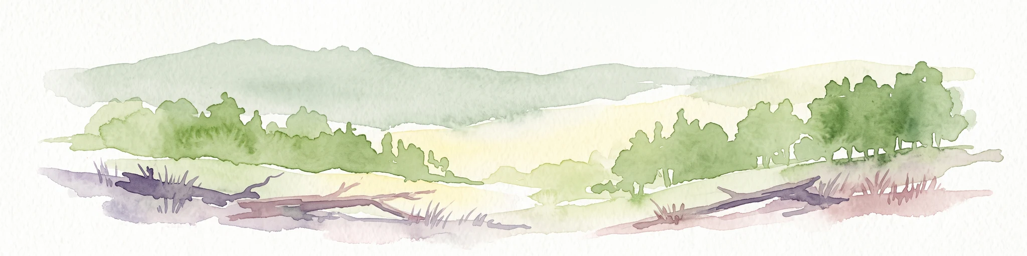
A watercolor painting showing a soft, minimalist landscape with rolling green hills, patches of grass in the foreground, and a distant line of trees under a light, warm-toned sky.
Nature reserveMengshausen
About 13 km away#1 closest

North

Bruchwiesen bei Mengshausen: A Protected Nature Reserve in the Fulda River Floodplain

Geography, floodplain terrain, and protected wetland habitat overview

Bruchwiesen bei Mengshausen serves as a critical wetland enclave within the Fulda valley. This nature reserve, located near the village of Mengshausen, safeguards a vital stretch of marshland, reed beds, and wet pastures. Through careful conservation grazing, the area provides essential habitat for endangered bird species, acting as a representative fragment of the natural floodplain landscape in eastern Hesse.

Area
0.104 km²
Established
1987
IUCN
IV
Relief
Lowland
A horizontal watercolor illustration depicting rolling green hills, patches of forest, and fallen trees in the foreground on a plain white background.
Nature reserveHessen
About 14 km away#2 closest

East

Naturschutzgebiet Breiter Berg bei Haselstein: Hessen Nature Reserve and Forest Atlas

Protected basalt terrain and forest mosaic in the Rhön

This nature reserve protects a vital cluster of beech woodland, moist gallery forests, and meadows in the Nüsttal municipality. The area is defined by its rounded hills, basalt-keuper soil substrates, and status as a protected Natura 2000 site within the broader Rhön biosphere conservation landscape.

Area
1.822 km²
Established
1997
IUCN
IV
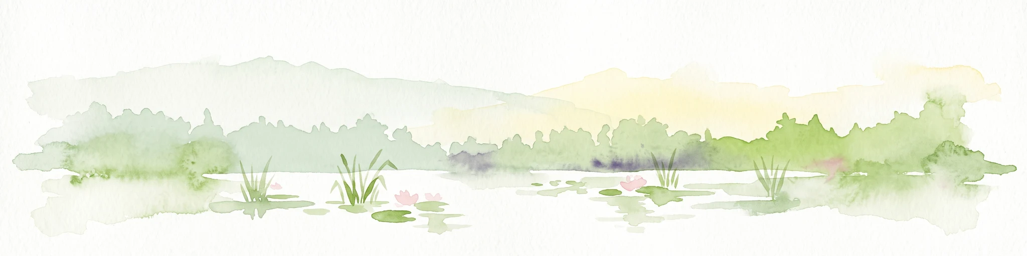
A horizontal watercolor painting showing a calm river or lake with aquatic plants, cattails, and pink lily blossoms against a backdrop of soft green hills.
Nature reserveHesse
About 15 km away#3 closest

North

Alte Fulda bei Asbach Nature Reserve: Mapped Geography and Floodplain Habitat Context

Protected river valley landscapes in the state of Hesse, Germany

The Alte Fulda bei Asbach reserve represents a compact yet ecologically significant floodplain in the middle Fulda valley. This protected area preserves a rare, near-natural oxbow environment, wet meadows, and riparian forests, offering a detailed case study for the study of river valley geography, sediment layers, and conservation-based landscape management in Central Germany.

Area
0.12 km²
Established
1984
IUCN
IV
Relief
Lowland
Nature reserveHessen
About 19 km away#4 closest

Northeast

Buchenberg, Grisselborner Wäldchen und Taftgrund bei Soisdorf Nature Reserve Geography

A protected habitat complex in the Hessian Kuppenrhön.

The Buchenberg, Grisselborner Wäldchen und Taftgrund bei Soisdorf reserve serves as a prime example of a balanced protected landscape. It spans deciduous woodlands, hedge-row mosaics, and valley stream habitats. This data set provides a clear view of its structured boundaries and its importance as a refuge within the northern Rhön foothills, illustrating the interplay between hilltop forest and stream-side meadow ecosystems.

Area
0.826 km²
Established
1994
Relief
Upland
Climate
Temperate
A soft watercolor illustration of rolling green hills under a sparse, light sky.
Nature reserveHessen
About 22 km away#5 closest

Northeast

Landecker Berg: A Detailed Look at the Nature Reserve and Mountain Geography in Hessen

Exploration of the Rhön table mountain and protected landscape.

Landecker Berg presents a classic example of a Triassic limestone massif in the northern Kuppenrhön. This nature reserve, located in the German state of Hessen, offers significant geographic interest due to its flat-topped plateau and dense forest mantle. Navigate the mapped boundaries of this protected area, which features unique geological formations, surrounding castle ruins, and an integral role in the local watershed systems.

Area
1.044 km²
Established
1992
Relief
Mountain
Climate
Temperate
Nature reserveHesse
About 27 km away#6 closest

Northwest

Immichenhainer Teiche Nature Reserve: Protected Wetland and Geographic Map in Hesse, Germany

Mapped wetland refugium in the eastern Hessian uplands

Immichenhainer Teiche is a specialized nature reserve in Hesse, Germany, characterized by a series of ponds that support essential wetland habitats. Positioned within the Osthessisches Bergland, the site provides a compact, protected landscape that contrasts with the surrounding agricultural terrain. This location is recognized both as a formal nature reserve and as a European Natura 2000 FFH site, highlighting its significance for regional freshwater conservation and habitat management.

Area
0.232 km²
Established
1985
IUCN
IV
Protected landscapeHesse
About 27 km away#7 closest

Southeast

Naturpark Hessische Rhön: Geographic Profile and Protected Landscape Mapping

Mapping the Rhön low mountains and upland ecosystems in Hesse

Naturpark Hessische Rhön encompasses approximately 720 square kilometers of varied terrain north and west of Fulda. The area features a distinct mosaic of forests, streams, and protected biotope complexes. This overview provides insight into the regional geography and the conservation structure defining this prominent upland protected landscape.

Area
720 km²
Established
1962
Relief
Upland
Scope
Terrestrial
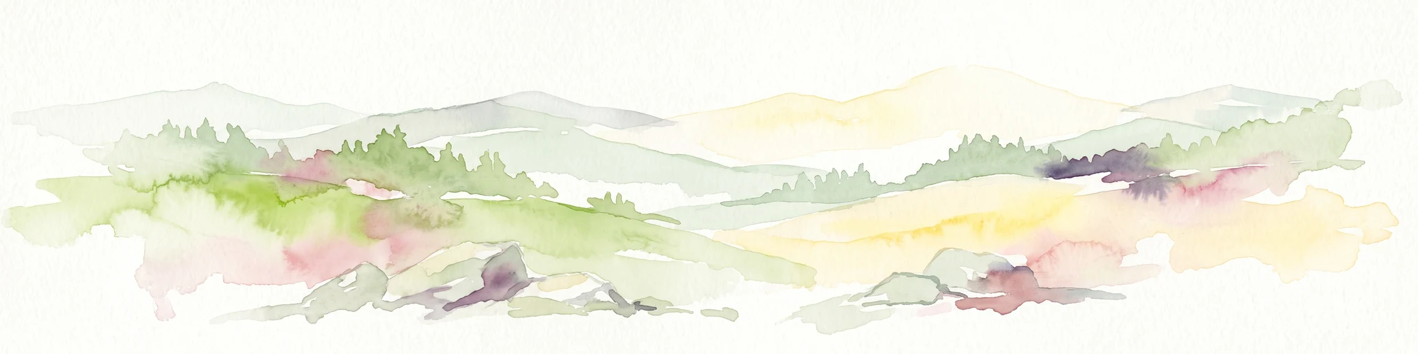
A soft watercolor illustration showing rolling hills, sparse forest clusters, and rocky foreground elements, set against a light background.
Nature reserveThuringia
About 27 km away#8 closest

Northeast

Öchsenberg Nature Reserve: Basaltic Peaks and Ancient Landscapes in the Thuringian Rhön

Geographic overview of a volcanic protected area

Öchsenberg stands as a characteristic basalt dome, shaped by ancient volcanic activity and defined by its distinct scree slopes and beech woodlands. This nature reserve, located in the northern Rhön foothills, offers a concentrated landscape where geological history meets the remnants of extensive Celtic fortifications overlooking the Werra valley.

Area
2.67 km²
Established
1990
Relief
Mountain
Climate
Temperate

Common questions about visiting, size, designation, and location context for Sandgrube am Mahlertshof

Sandgrube am Mahlertshof FAQs for park facts, access, geography, and protected area context

Find quick answers about Sandgrube am Mahlertshof, including protected-area facts, park geography, trail and visitor context, and how the park fits into its surrounding country and regional landscape.
MoriAtlas Explorer

Continue Your Protected Areas Search Across the Global Atlas

Deepen your exploration by continuing the structured search for national parks and protected areas worldwide. Utilize the comprehensive filtering capabilities to compare different conservation landscapes and refine your understanding of global park geography. Discover more about the distribution and characteristics of protected natural areas.

Global natural geography