
Why Sandr Wdy stands out
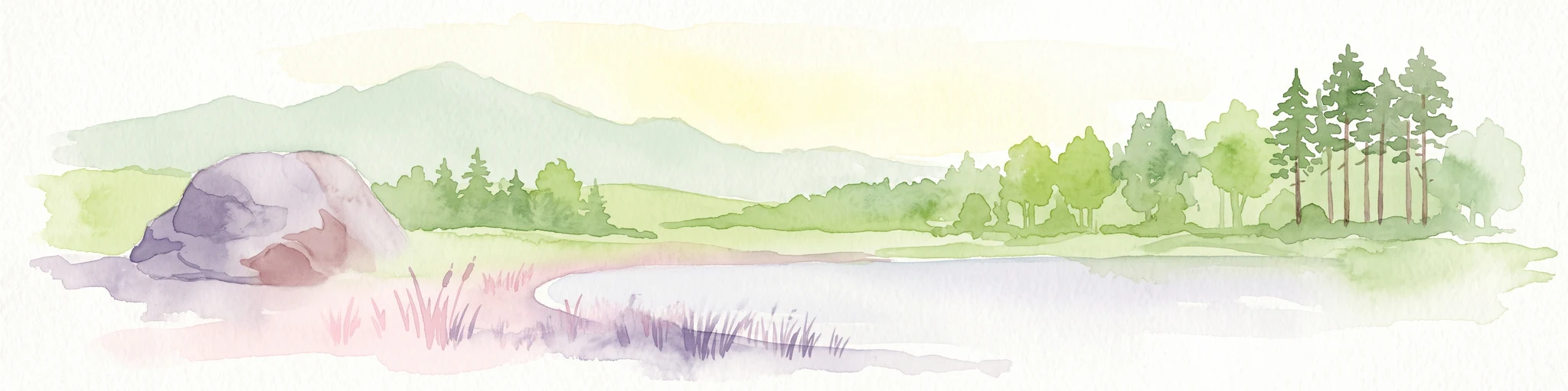
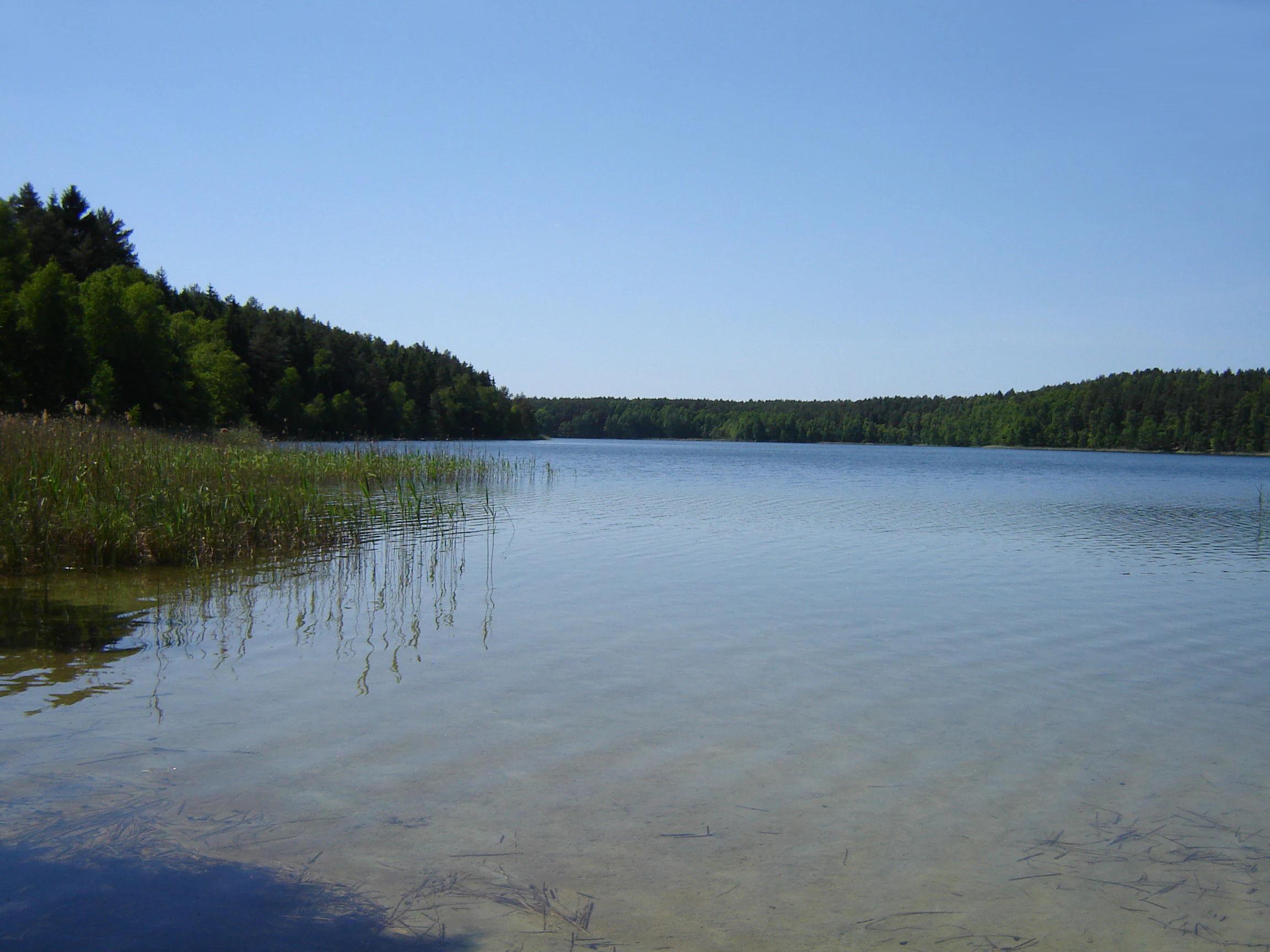
Sandr Wdy is best known for its post-glacial sandr landscape, where flat outwash plains are deeply cut by the Wda River and its tributaries, creating a pattern of lakes, mires, and valley wetlands within a pine-forest setting. It stands out as one of the most ecologically valuable fragments of the Bory Tucholskie. The site is also recognized for the diversity of protected habitats it concentrates in a relatively compact area, including dystrophic lakes, raised and transitional peatlands, inland sand grasslands, wet Molinia meadows, and fragments of oak-hornbeam and alder-ash forests. Its cluster of strict nature reserves, including Dury, Miedzno, and Jezioro Piaseczno, reinforces its significance as a reference area for glacial lowland ecology in northern Poland.
Sandr Wdy history and protected-area timeline
Sandr Wdy was formally established through a decision of the European Commission adopted on 10 January 2011, which approved the site as a Site of Community Importance under the Natura 2000 network. The site carries the official code PLH 040017 and was designated specifically as a Special Area of Conservation for habitats, reflecting the priority placed on the area's wetland, mire, and forest habitat types rather than on individual species.
Its designation followed the long-standing recognition of the surrounding Bory Tucholskie as a forest region of exceptional natural value in Poland. The earlier protected framework around the area was already extensive, with strict nature reserves such as Dury, Miedzno, Jezioro Piaseczno, Zdrójno, Krzywe Koło w Pętli Wdy, and Brzęki im. Zygmunta Czubiński having been established in earlier decades to safeguard the most sensitive forest, lake, and peatland communities within the broader landscape.
The post-2011 period has seen the site integrated into the wider Natura 2000 management framework, with forest management continuing under the relevant Regional Directorate of State Forests in Gdańsk through the Dąbrowa, Lubichowo, Osie, and Trzebciny forest districts.
Sandr Wdy landscape and geographic character
The landscape of Sandr Wdy is essentially a glacial sandr, a broad outwash plain built from loose sands with insertions of gravels and rounded stones, sloping gently southward and reaching roughly 104 to 106 meters above sea level near Błędno. The generally flat sandr surface is dissected by the deeply incised valley of the Wda River and by a network of glacial channels, kettle holes, and meltwater depressions.
Moraine remnants break the uniformity of the plain, especially inland dunes and patches of hummocky terrain, while the river valleys and glacial channels add depth and contrast to an otherwise low-relief landscape. The deep groundwater table across most of the sandr limits surface water outside wetlands and valleys, concentrating moisture-related landforms along the major drainage lines.
This combination of open sandr, valley mires, lake basins, and dune ridges gives the area its characteristic patchwork of dry pine forest, open peatland, and quiet water bodies, even though parts of the broader landscape have been shaped by long-term human use.
Sandr Wdy ecosystems, habitats, and plant life
The ecological character of Sandr Wdy is defined by the interaction between nutrient-poor sandy soils, varied glacial topography, and a well-developed network of surface waters. The result is a concentration of habitats that are increasingly rare in the Polish lowlands, from open water bodies and peatlands to dry sand grasslands and diverse forest communities.
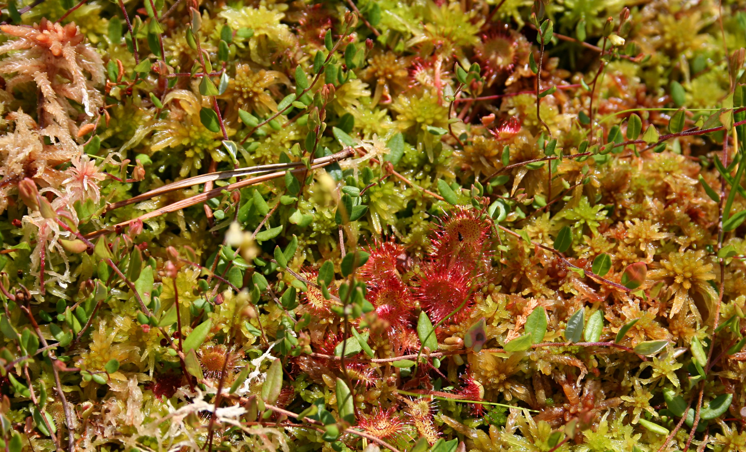
Aquatic and mire habitats form a core part of the site's identity. These include old river arms and natural eutrophic lakes with Nymphaeion and Potamion vegetation, dystrophic lakes typical of acidified humic waters, raised bogs with active Sphagnum-dominated peat-forming communities, transition mires and quaking bogs characteristic of the Scheuchzerio-Caricetea nigrae group, and calcareous fens attached to localized mineral-rich seepages.
Open and semi-open dry habitats are equally important, especially inland sand grasslands of the Koelerion glaucae type and wet, variable Molinia meadows, alongside traditionally managed lowland hay meadows of the Arrhenatherion elatioris type. Forest communities range from boggy pine and birch woodlands to central European oak-hornbeam forests and a full suite of riparian forests dominated by willow, poplar, alder, and ash, reflecting the gradient from dry sandr to permanently waterlogged valley floors.
Sandr Wdy wildlife and species highlights
The wildlife of Sandr Wdy reflects the diversity of its habitats, with particular strength in freshwater fauna, amphibians, and mammals associated with extensive forest and wetland complexes. Fish communities in the Wda and its tributaries include asp, vimba bream, white-finned gudgeon, European bitterling, spined loach, and brook lamprey, indicating relatively clean, structured river habitats.
Amphibians are well represented, with fire-bellied toad and the crested newt among the notable species breeding in the area's varied wetlands. Mammal fauna includes otter along the watercourses, gray wolf moving through the larger forest landscape, Eurasian beaver shaping wetland margins, and Western barbastelle bats foraging over forest and water edges. Moose also occur in the forested areas, while red kite is recorded as a breeding raptor.
Invertebrate interest is significant, with the bright jewel beetle (haczykowiec błyszczący), the scarce large blue butterfly (czerwończyk nieparek), and the green hawker (trzepla zielona) among the characteristic species, alongside thick-shelled river mussels. Among plants, Lipiennik Loesela is among the most valued species recorded for the site's open mire and sand grassland habitats.
Sandr Wdy conservation status and protection priorities
Sandr Wdy is one of the most ecologically valuable fragments of the Bory Tucholskie, and its conservation importance has been formally recognized through its inclusion in the European Natura 2000 network as a Site of Community Importance. Its designation focuses on the protection of natural habitat types rather than individual species, reflecting the outstanding concentration of mire, wetland, lake, grassland, and forest habitats within a single contiguous area.
The site overlaps the core of the Wdecki Park Krajobrazowy and contains six strict nature reserves: Zdrójno, Krzywe Koło w Pętli Wdy, Jezioro Piaseczno, Brzęki im. Zygmunta Czubińskiego, Dury, and Miedzno. This nested protection system gives additional security to the most sensitive elements of the landscape, particularly dystrophic lakes, active raised bogs, old river arms, and key forest stands.
From a broader conservation perspective, Sandr Wdy represents a reference area for glacial lowland ecosystems in northern Poland, where the combination of acidic sandy soils, deep glacial channels, and extensive mires creates habitat conditions difficult to replicate elsewhere under modern land use. Its continued integrity is therefore important both for regional biodiversity and for the connectivity of habitat networks across the Bory Tucholskie.
Top sights and standout views in Sandr Wdy
Sandr Wdy's strongest points of distinction lie in its combination of a classic glacial sandr plain deeply dissected by the Wda River, a dense network of dystrophic lakes, raised bogs, and kettle mires, and an unusually full suite of lowland forest types, all concentrated within a single Natura 2000 site. The overlapping strict nature reserves further reinforce its role as a sanctuary for undisturbed peatland and lake habitats.
Equally distinctive is the persistence of near-natural habitat patterns in a landscape shaped by historical forestry, demonstrating how pine-dominated forests can retain their underlying ecological character when soil and hydrological conditions are maintained. The result is an area that is simultaneously a working forest landscape and a significant stronghold for some of northern Poland's rarest mire and wetland habitats.